Prairie Bluff IV
March 29, 2017
Mountain
height: 2258 m
Elevation gain: 558 m
Ascent time: 1:35
Descent
time: 1:05
Solo
scramble.
The purpose of a fourth
ascent of lowly Prairie Bluff was to find the shortest route to the summit,
with the least amount of elevation gain. Mark and I had completed a similar route via
the ridge to the west, but this route would go more directly to the ridge and
then to the summit. From the park area (already at an impressive 1711 m above
sea level) the route looked straightforward, if somewhat boring. A rockband
about hallway up appeared to be the only obstacle, but also looked easy to get
around. Dreary weather conditions also contributed to this choice of mountain.
The ascent went exactly as
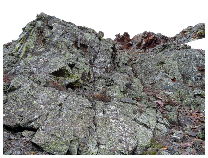
planned until I reached the rockband. From afar it looked (as stated) boring –
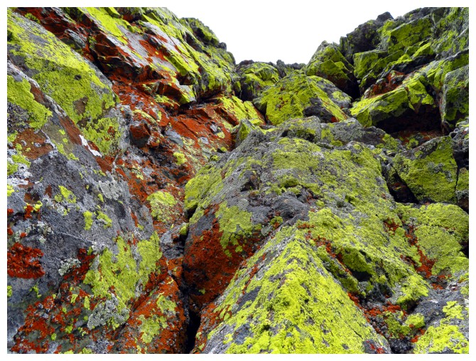
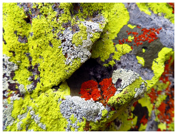
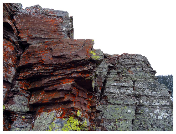
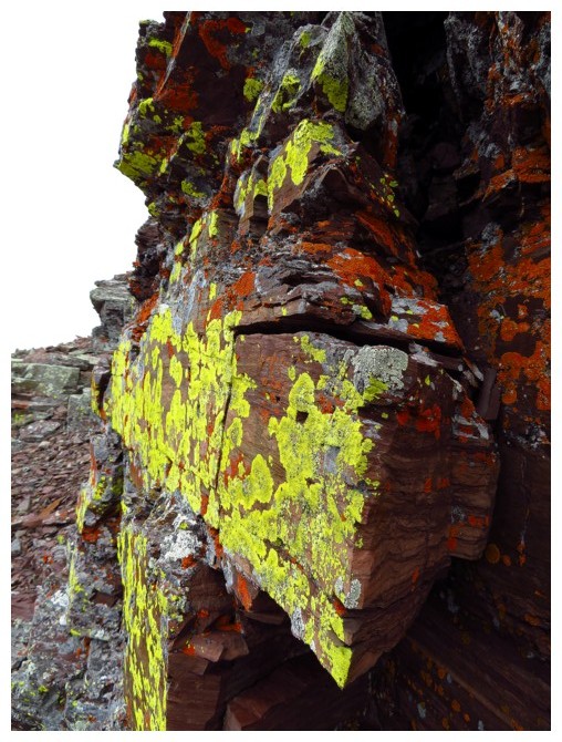
a dark strip of rock lining the face; up close that dark rock was astonishing,
covered in bright yellow, green and orange lichens. Not only that, but there
were multiple scrambling routes up through this super cool band of rock. Above
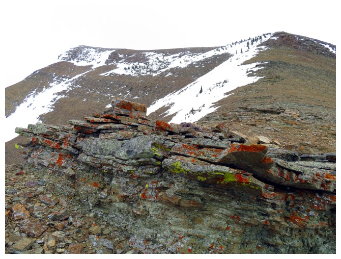
that, another easy section of hiking led to the second rockband, this time
compromised of my personal favourite - red argillite. This rock step didn’t
appear to be as impressive as the dark band and so I bypassed it and went directly
to the summit, only a short hike away. Still, I found the overall route to be
fun and far more interesting than predicted.
My summit stay was short,
due to the lacklustre weather and the fact that I had already decided to take
an alternate descent route, between the ridge I had just ascended and the one
Mark and I had done previously. This descent turned out to be more
challenging than predicted. I was hoping to glissade a good portion of the
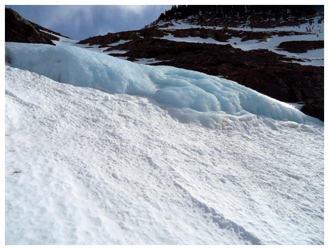
route, however, the slopes were very steep, quite icy and the middle of the gully was interrupted
by three small but scary-looking frozen waterfalls – not glissadeble!! I instead settled for a slow plod down.
Too bad about the dismal weather, but mission
accomplished – a short, easy and surprisingly scenic route up one of my
favourite mountains in The Castle.
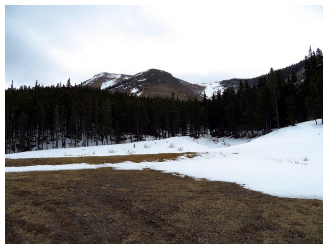
The route goes right up the middle
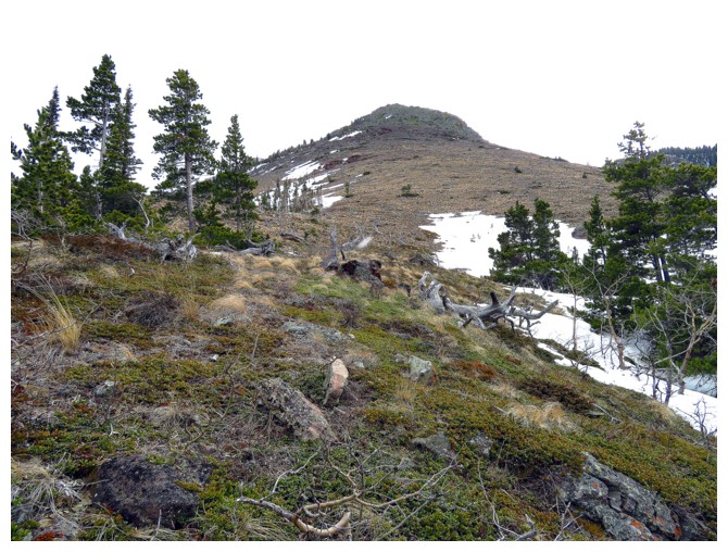
Out of the trees and ready to slog up to the boring looking rockband above
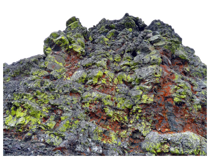
Not so boring!
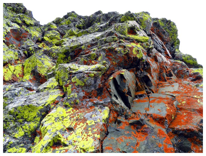
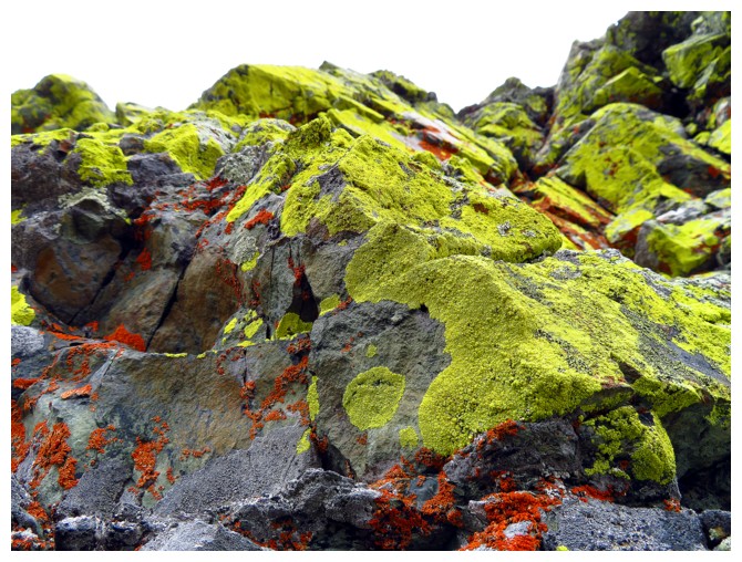
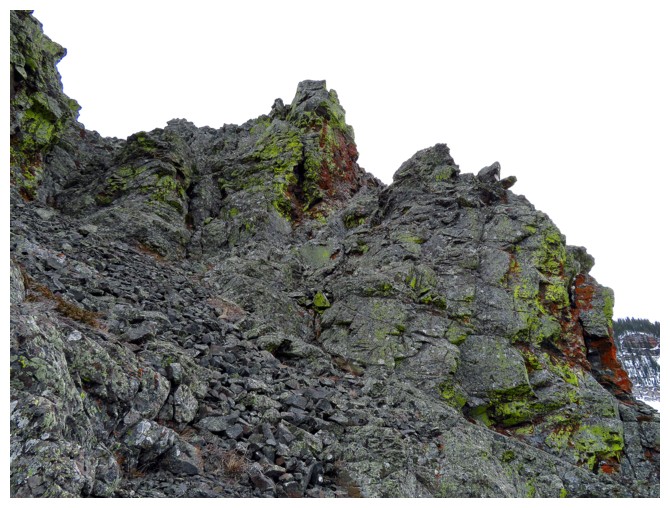
Lots of fun scrambling through the rock
The summit at the left
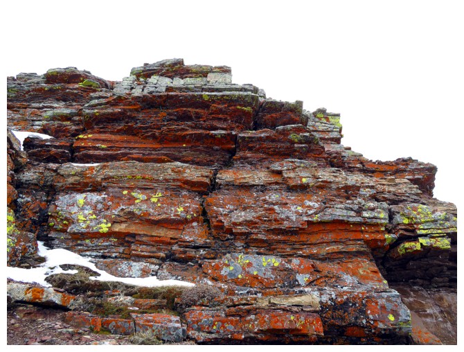
The red argillite band
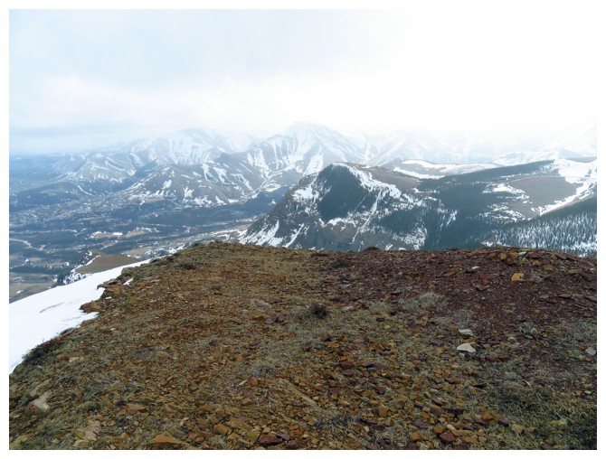
Dreary summit view to the south
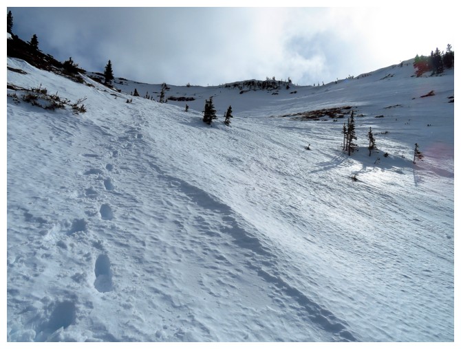
Alternate descent route
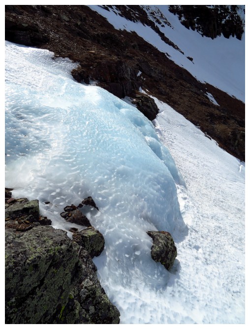
One of the small frozen waterfalls
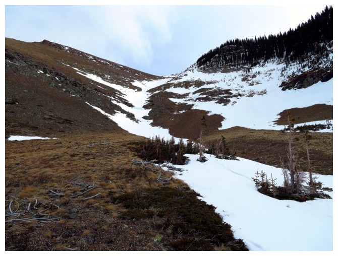
Looking back up the descent route
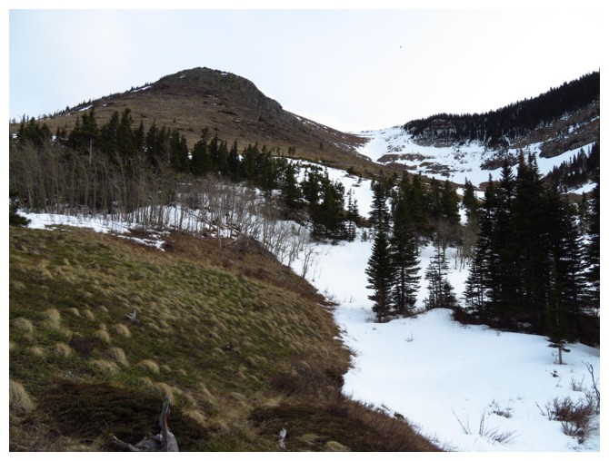
Both routes are clearly visible here
