Mount Prince George


Mountain height: 2,880 m (9,446 ft)
Elevation gain: 1,058 m to bivy at toe of glacier; 494 m from bivy to summit
Ascent time: 1:20
(from bivy)
Descent time: 1:05
Backpacking with Kevin Barton and solo
scramble.
Quite obviously, our primary goal for this
part of a five-day mountaineering trip was an attempt of awe-inspiring Mount
King George. The three-day trip started badly and ended badly, but had some
unbelievable moments in between and even though we didn’t even set foot on
Mount King George, I’d have to classify it as one of my most memorable and
enjoyable mountain experiences (at least the middle part anyway).
The best part of the approach was the harrowing
log crossing of the raging Palliser
River. Fortunately, a
guide rope and some wooden planks placed across the log took all the “harrowing”
out of it – a big thanks to the individual(s) responsible for the workmanship.
The approach went downhill from there. As Bill Corbett points out in his
guidebook “The 11,000ers of the Canadian Rockies”, there is a multiplicity of
trails in the area and unfortunately, we took the wrong one. This trail did
eventually take to the bivy site in-between Mounts King George and Prince
George, however, it took a circuitous route alongside a hill, well east of the
suggested route, and long before we were scheduled to arrive at the bivy site,
darkness was about to set in. We settled for a night beside a small lake at
GR169038, which actually turned out to be a very pleasant experience.
The following day, we completed the hike in
and set up a bivy site on a snowpatch, about 20 metres from the toe of the
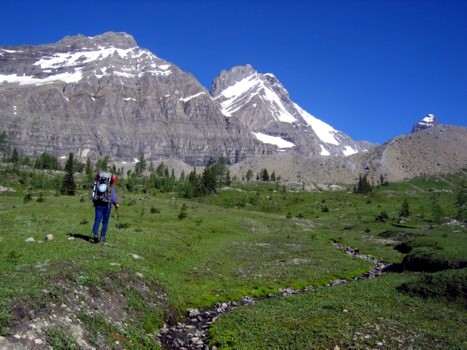
glacier. The weather was perfect that day and hiking into the area was
absolutely astounding. The breath-taking beauty of the grassy meadows,
backdropped by the rugged moraine, backdropped by the awesome glacier, with stunning
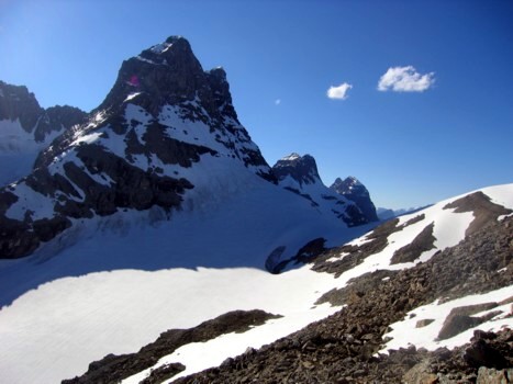
Mount King George and Mount
Prince Albert rising
majestically out of the ice, was a rare and incredibly satisfying treat. I, for
one, was thoroughly satiated by these views alone and making any summit would
just be “icing on the cake”.
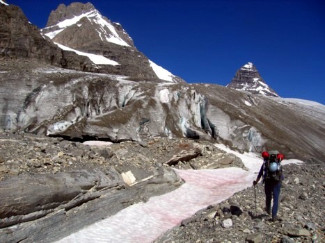
Since an attempt of King George was out of
the question for the day, we decided to go up the glacier and check out the
described southeast ascent route. Again, the scenery for this little
reconnaissance mission was simply unbelievable. Unfortunately, we were also to
discover that the first part of the ascent route was going to be a severe
problem. Of the two “chockstone” couloirs of the mountain, the first had a torrent
of snowmelt running down it and the second was simply too steep. We therefore
continued up the glacier, enjoying incredible scenes of snow and ice on the
east side of King George, and decided that the following day, we would ascend
to the King George/Prince Albert col, to see if an ascent of the northeast
ridge was possible - if it wasn’t, then we could opt for an attempt of Prince
Albert.
Returning to the bivy at 4 pm, I decided to see if the summit of Prince George was
attainable via the south ridge. It was, and provided a thoroughly interesting
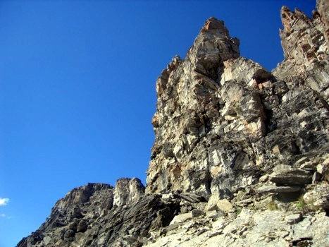
and enjoyable ascent (moderate scrambling). Gorgeous towers of blocky rock
lined the south end of the ridge and I had great fun scrambling on and
alongside them. After the towers and pinnacles, a hike led easily to the
summit. I can’t rave enough about the panorama from the top of this relatively
small peak (to his Dad anyway!). The cloudless sky gave unfettered sightlines to
11,000ers Assiniboine, Sir Douglas, Joffre,
Harrison, and of course, King George and seeing mountains like Birdwood and
Warrior from this unique viewpoint was very interesting. Most impressive, were
brothers Albert, Edward, and Henry, lined up like obedient children (the way
kids should be!).
I chose an alternate
descent route, going down rubble slopes to the northwest and then traversing
south along snow slopes and eventually onto the beautifully, glacially-carved
moraine. Fun scrambling and outstanding views in a truly unbeatable area.


