Rawson
Ridge heights: south: 2300 m, north: 2444 m
Elevation gain: approx. 1000 m in total
Ascent time: 4:50
Descent time: 1:15
Solo scramble.
Inspired by Marko Stavric’s trip reports to
To gain the ridge on the south side of the lake required ascending some fairly dicey snow-covered slopes that were obviously avalanche prone (minor avalanche debris all over the slopes). An ice axe and crampons were essential for this terrain. Upon gaining the ridge, I hiked a short distance to the summit for a dismally disappointing view. I turned around almost immediately and managed to find a more direct route back down to the lake.
The ridge on the other side of the lake was definitely a
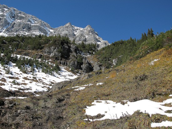
more enjoyable detour. Low down there was very little snow, however, the upper
slopes were plastered. A clear sky and the occasional small, yellow larch
enhanced the already beautifully scenery exponentially. I slogged up to the base
of the northeast end of
Getting to that highpoint would require a significant elevation loss to circumvent it the cliff band. I hiked along the ridge to the base of the band just to check it out. To my surprise, the band that looked like a good 50 metres of vertical rock was actually significantly shorter and there even appeared to be a scramble route right alongside the left edge. Ascending this band required a couple of difficult, exposed moves, but the rock was pretty solid, with good holds. Within minutes I was on the top and then hiked easily over to the highest point of the ridge. Again, the views of the surrounding lakes were great and the snow covered ridge was magnificent.
For descent, I took a direct route down easy slopes to the lake. Though still quite beautiful in the afternoon sun, the view of the lake paled in comparison to the morning view with its crystal clear reflection. A more than worthwhile trip in a beautiful area. Thanks Marko and Gillean.
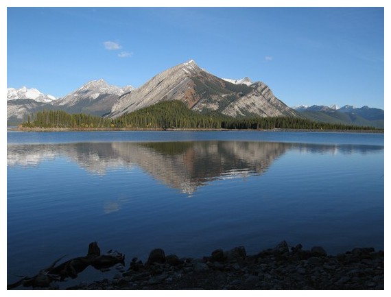
Mount Indefatigable is reflected in Upper Kananaskis Lake
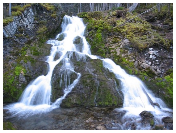
Trying my hand at that "running water effect"; it ain't no Marko!
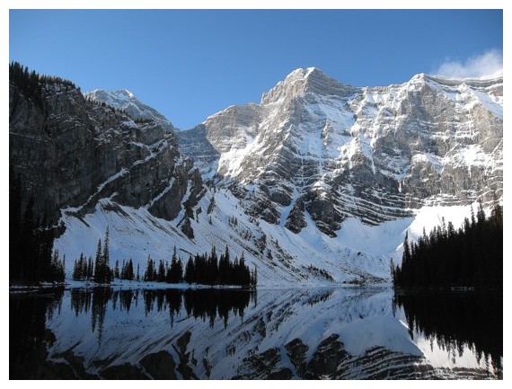
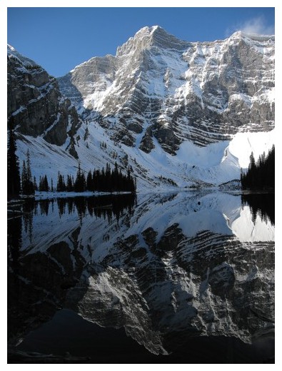
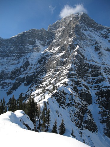
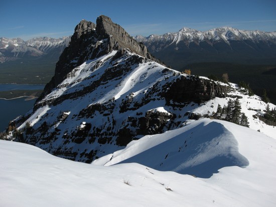
Mount Sarrail above Rawson Lake; the south ridge I ascended is on the left
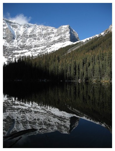
The northeast end of Sarrail reflected in the lake
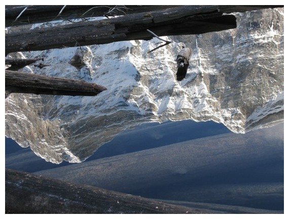
The summit of Sarrail reflected in the lake
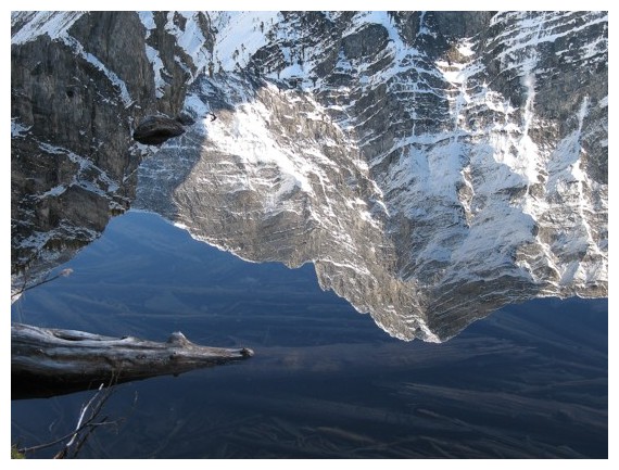
Not an upside down photo - the reflection in the lake
Same as above
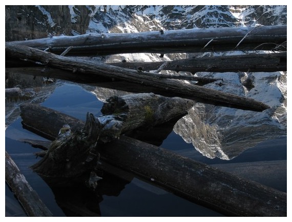
Same as above
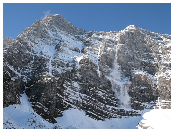
Snow comes crashing down Sarrail
Ascending snow slopes to the south ridge
On the south ridge looking towards Sarrail
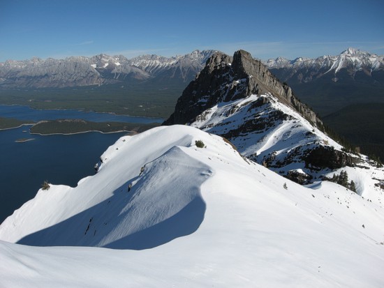
Looking at the north ridge from the south
ridge; the route goes up the left side,
traverses to the highest point in the centre and then goes down the right side
The ascent slopes of the north ridge
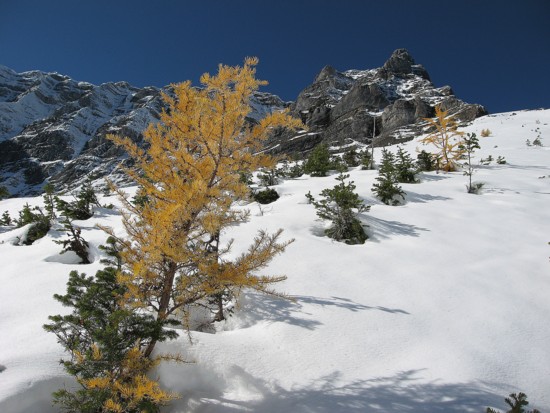
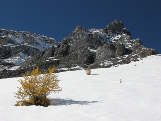
One of several lone larches
Same as above
On the north ridge looking east towards the highpoint of the ridge
Same as above
Blah, blah, blah
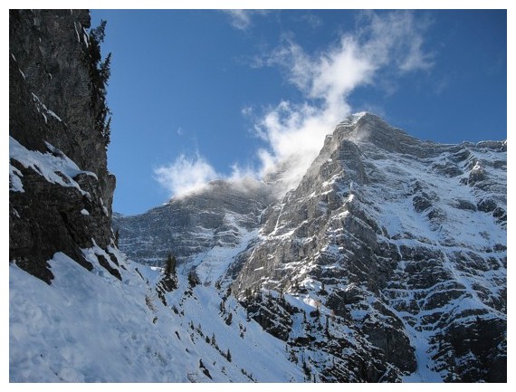
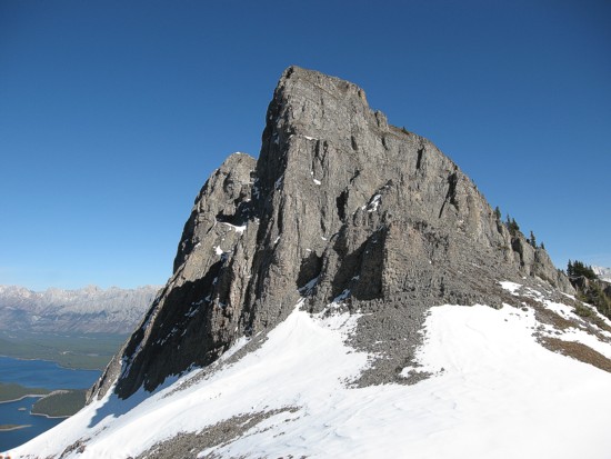
Looking back to Sarrail
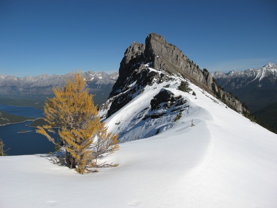
Another lone larch
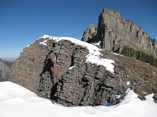
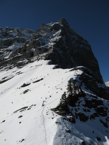
Approaching the crux rockband
Same as above; the scramble route goes up the centre right to the top
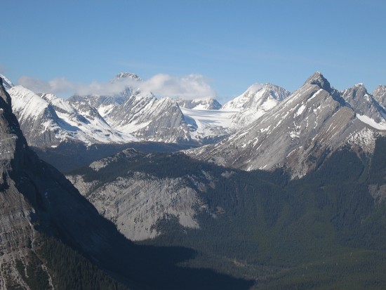
Looking north
towards the Haig Icefield; The summit of
Sir Douglas is visible, peaking over that band of
clouds
At the top of the rockband with the highpoint ahead
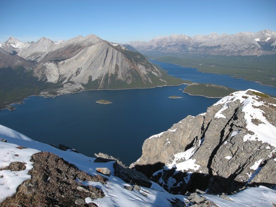
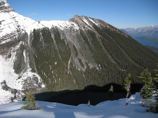
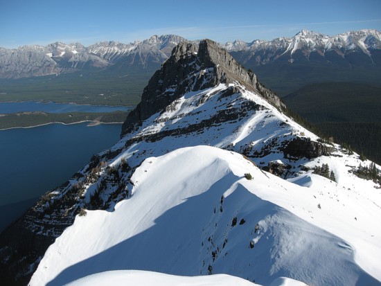
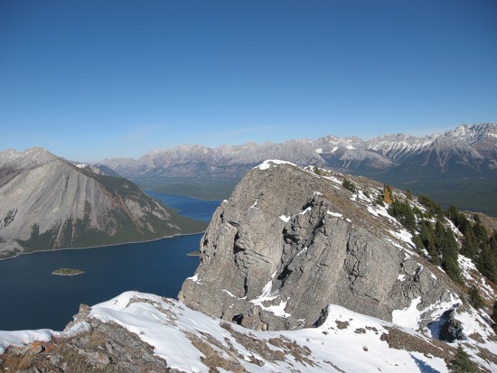
The Kananaskis Lakes with Mount Indefatigable on the other side
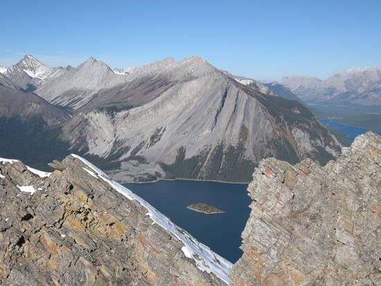
Looking through a gap to a small island in the middle of the lake and Indefatigable