Mount Rowe III
July 9, 2012
Mountain height: 2464 m
Elevation gain: approximately
1000 m
Ascent time: 2:45
Descent time: 1:30
Solo scramble.
Having ascended Mount Rowe twice, both times
via the most direct route on the southeast side of the mountain, it was time to
try a longer but potentially more scenic route via the Rowe Lakes trail and the
northeast side.
The trip went exactly as planned: an hour hike
to the Lower Rowe Lake, 45 minutes to the far more impressive Upper Lakes, a
steep hike to gain the northeast ridge of Rowe, and then an enjoyable scramble
to the summit. While I wouldn’t necessarily call it a better route than the
shorter one, it did offer the pleasant scenery of the Upper Lakes and easy hiking
for most of the overall distance.
For descent, making a small loop back to the
lakes by descending a wide ridge to the northwest seemed like a good idea and
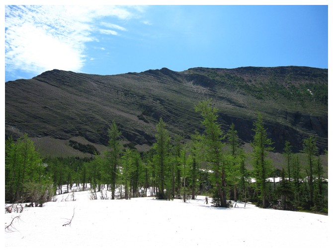
it was, featuring easy travel down the ridge, teeming with larches. The even easier
hike back to the parking lot ended an excellent day out.
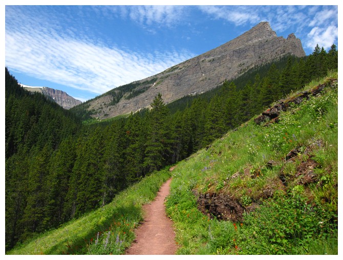
The terrific Rowe Lakes Trail, with Mount Lineham at the right
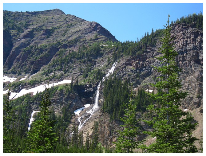
The waterfall draining the Upper Lake into the Lower one
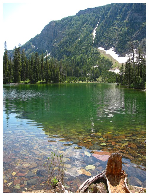
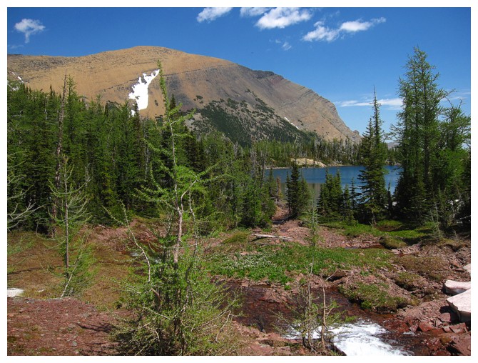
The Lower Rowe Lake
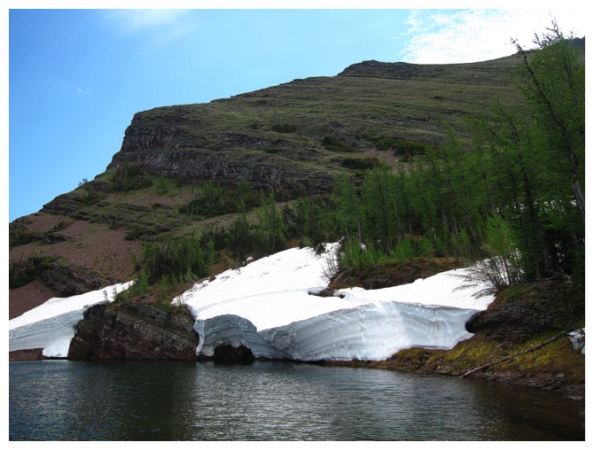
Still a fair amount of snow near the Upper Lake
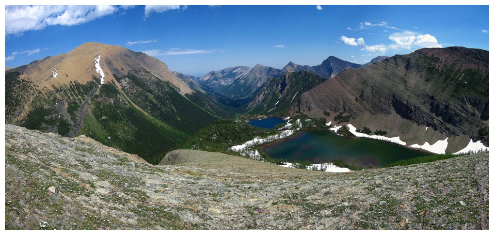
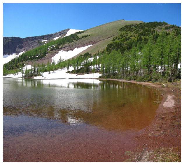
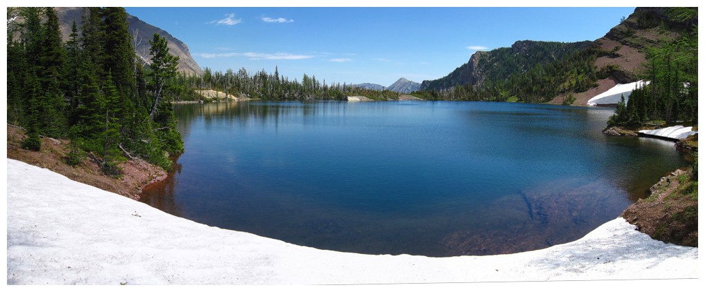
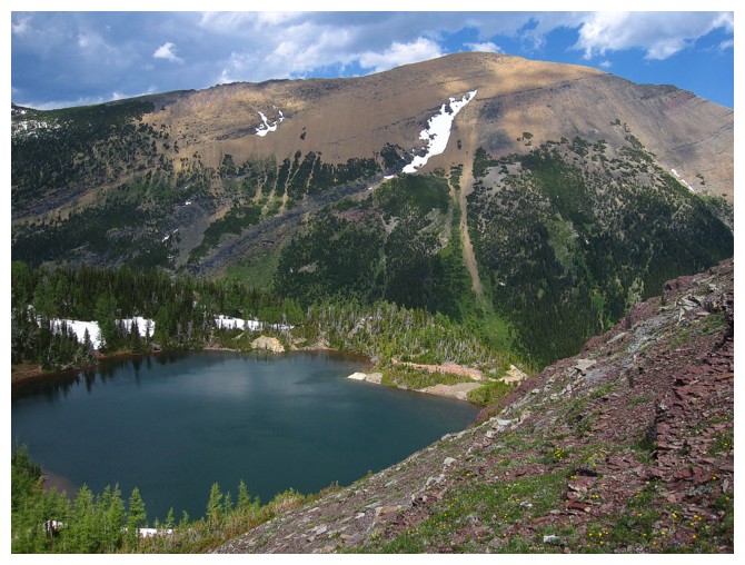
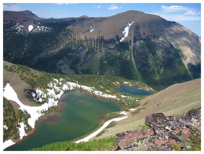
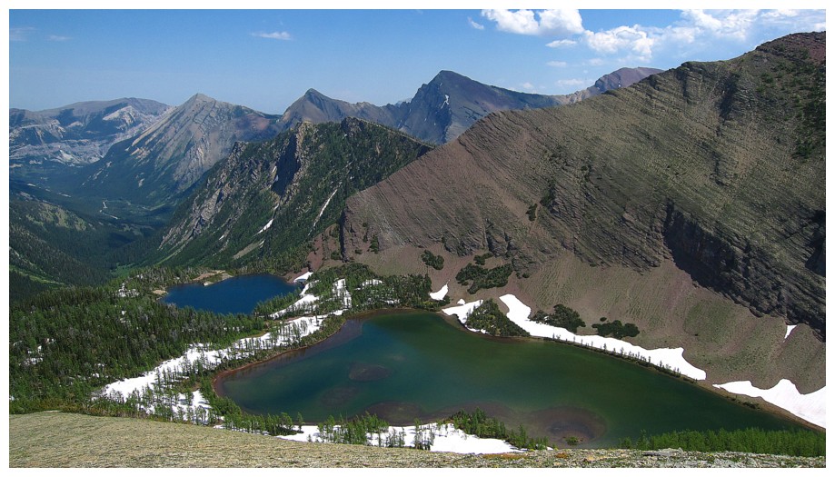
Approaching the highest and biggest of the two Upper Rowe Lakes, with Mount Rowe behind
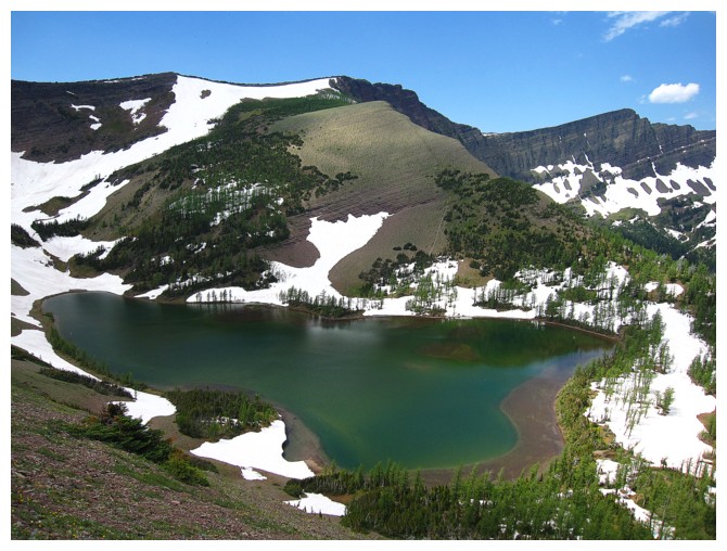
Some of the Upper Rowe Lake and the ridge I used as a descent route
Following the stream that connects the highest Upper Lake to the slightly lower Upper Lake
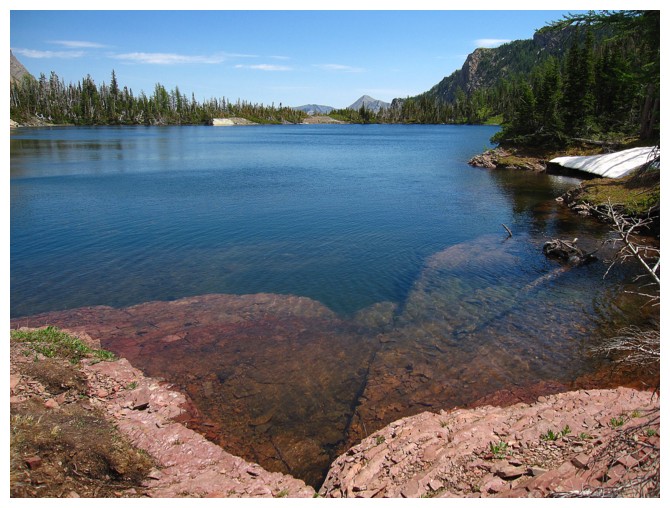
The slightly lower lake appears
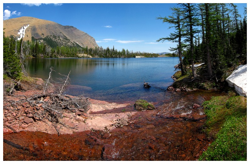
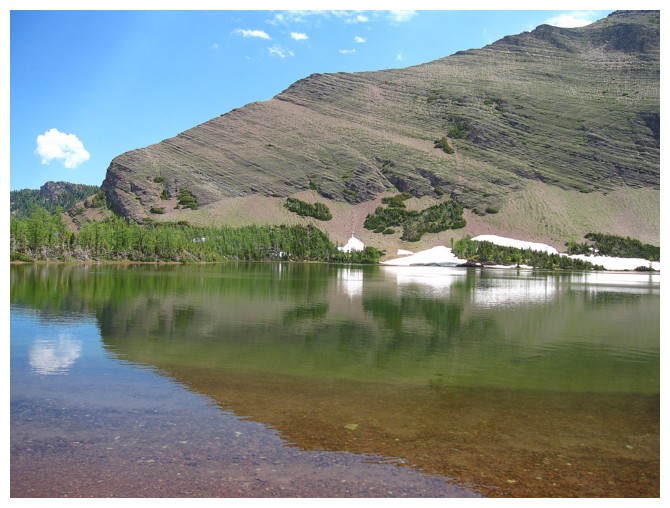
The lake is lined with red argillite
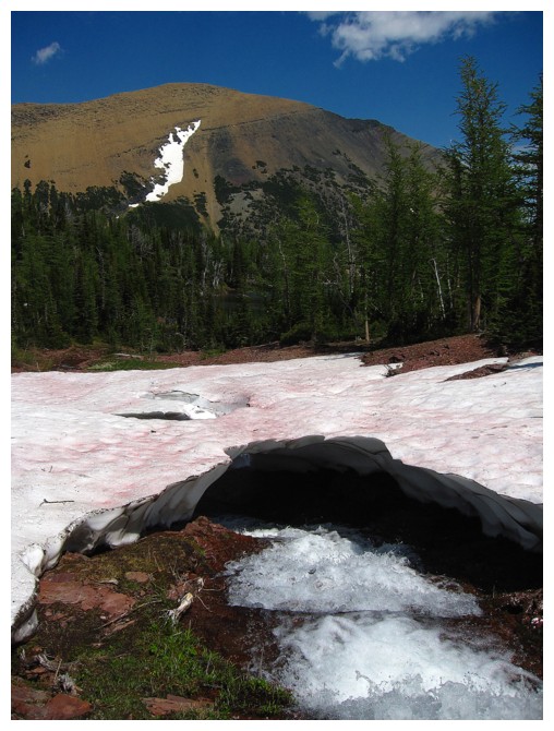
Looking over to the slopes I intended to use as an ascent route
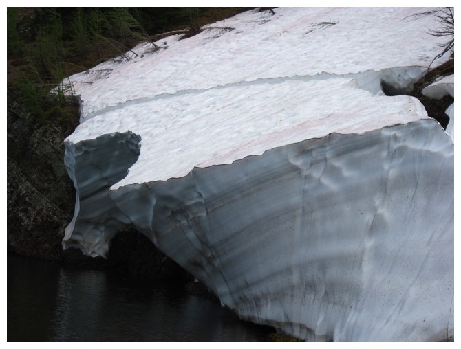
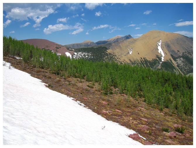
Cool snow layers
Gaining elevation above the lower Upper Lake
The (upper) Upper Lake
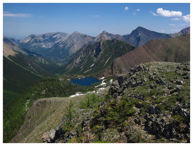
Looking over the the east highpoint of Rowe I ran over to on our first ascent
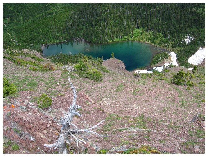
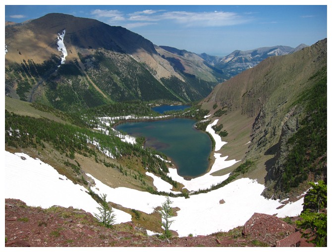
Looking way down on the Lower Rowe Lake
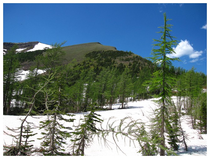
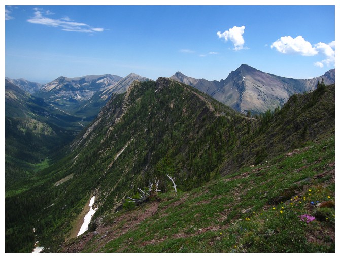
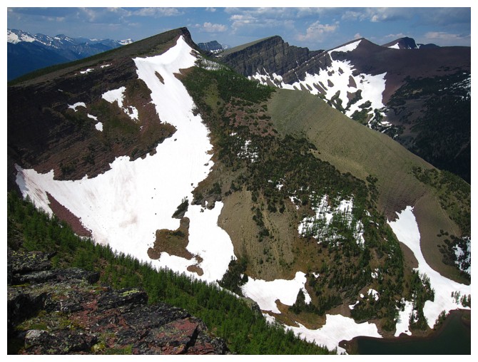
Easy hiking for a while and then the ridge narrows and becomes more exposed, though only for very short sections
Mount Chapman, across the border
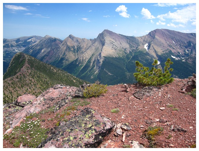
Buchanan Ridge (centre) and Mount Carthew (right)
Cameron Lake and lots of U.S. peaks
Long Knife Peak
Mount Custer at the left
Traversing over to the descent ridge and enjoying views of the Upper Rowe Lakes and Mount Lineham
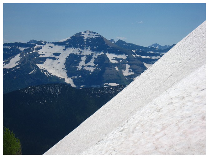
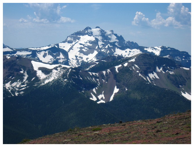
Mount Festubert in the centre - that's a long day!
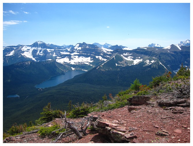
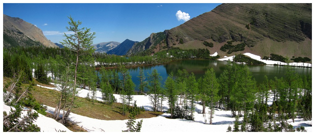
Changing views of the lakes
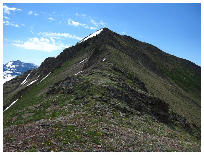
Looking back to Mount Rowe
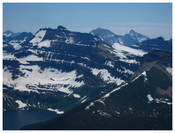
The Blakiston Horseshoe route feature Mount Blakiston (just right of centre), Mount Hawkins (left) and Mount Lineham (right).
Descending the ridge
Almost back to the lakes. Lots of larches here.
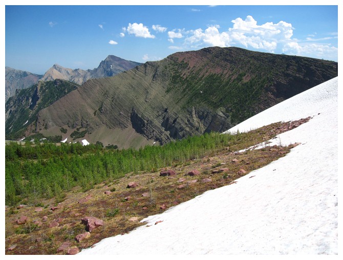
Looking over to the ascent slopes I used
The End
LOG