Shunga-la-she
–
Mountain height: 2,625
m (8,610 ft)
Elevation gain:
1,000 m
Ascent time:
Descent time:
2.20
Solo scramble.
This was supposed to be an easy, relaxing, and stress-free
ascent – it was a resounding 0 and 3 on those criteria. However, in terms of
scenery, interest, and hands-on scrambling, the ascent of Shunga-la-she
definitely goes 3 and 0. I got the idea for the ascent from Bob and Dinah, who
had reached the summit in November of 2001. Given a less than favourable review
of their ascent route, I chose a different line, which crossed the
Being too lazy to take my boots off, I ran across the river, which of course meant spending the remainder of the day with soaking wet feet. Some easy bush-whacking and then a steep scree slog and I was on the ridge. The scenery from there was terrific. Numerous, interesting rockbands straddled the ridge. Some were easily ascended head-on, others required significant detours to circumvent. Being alone, I was a little hesitant to tackle some of the serious rock-steps, especially the ones that were snowy or icy. The higher I got, the more challenging the terrain became and I was required to detour around many of the bands. Even some of the detours required scrambling up steep, sometimes snow-covered terrain, and I knew I would have to find an alternate descent route.
At first, the
route-finding, up or around the rockbands was
fun and enjoyable, however, the ridge and the detours kept going and
going and I
began to tire; a couple of steep and long scree slogs to regain the
ridge
didn’t help matters. Just as I thought I was about to reach the summit,
I ran
into a very exposed rock-step. The wind was howling, at this point, and
after a
feeble attempt to get up the step, I decided to look for an alternate
route
around the left side of the summit block. 45 minutes of searching and
trying
various routes, yielded no results and I returned to try the crux step
again. It
wasn’t as bad as I initially thought and within minutes, I was on the
summit.
The summit view included great views of the east faces of Mist, Storm
and Rae,
as well as Burns, Bluerock, and numerous unnamed peaks of the Highwood
Range. Most impressive, however, was the daunting 800 metre, vertical
face of
Continuing on to the higher and unnamed summit to the west would have been nice, but I was simply too tired and started down the north ridge, hoping for the easier descent. Thankfully, I got one, though it was, at times, tedious. I followed a drainage between the two north ridges, eventually joining up with Sheep River Trail. As an added bonus, I hit the trail before the bridge, and therefore, didn’t have to run through the river again. A pretty terrific scramble with some great scenery and a mercifully easy descent route.
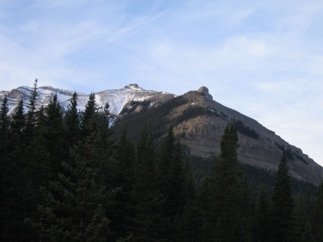
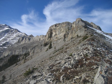
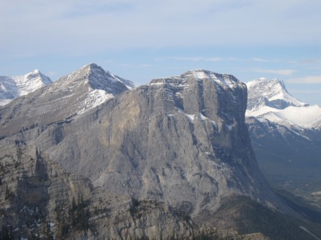
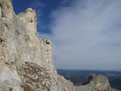
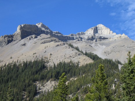
Shunga-la-she from near the parking lot; my ascent route went up to the first pinnacle, around its left side and then up the ridge to the summit (not visible here)
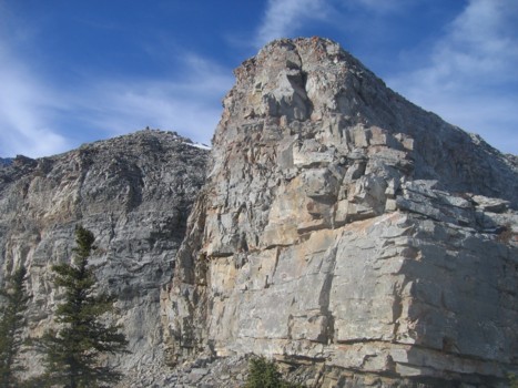
The first rockband (easily circumvented on the left)

Approaching the second rockband (right)
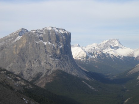
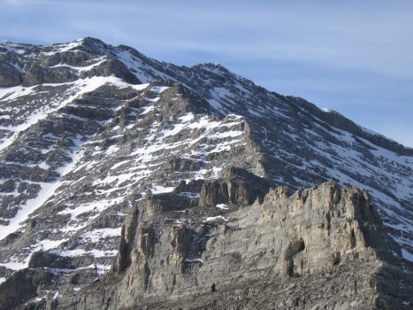
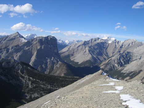
Gibraltar Mountain (left) and Mount Rae (right)
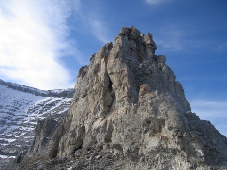
I forget what this is called
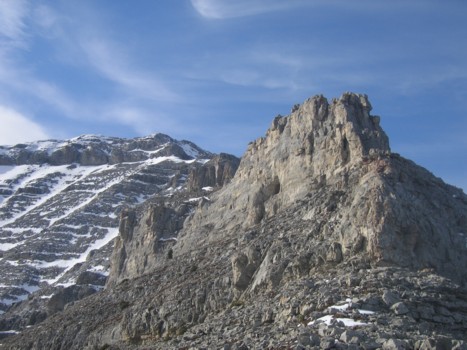
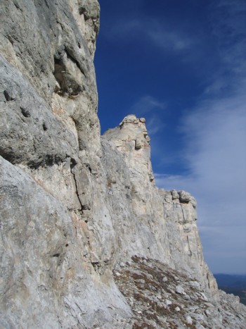
On the ridge; summit at the far left
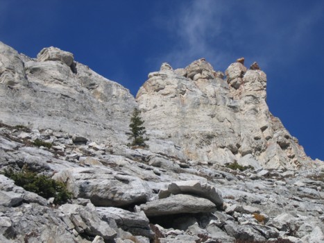
More rockbands along the ridge; this one was ascended right up the middle
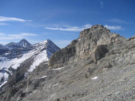
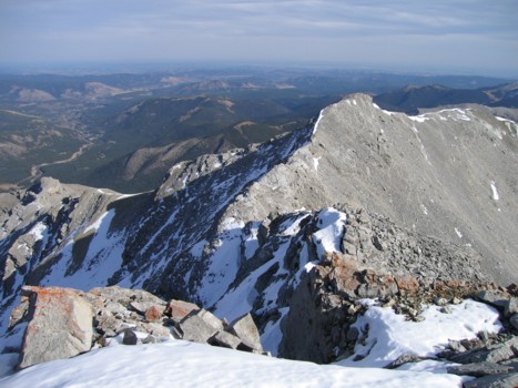
The remainder of the ridge; summit just right of centre
The last, long stretch of the ascent
Left to right: Storm, true summit of Gibraltar, lower summit of Gibraltar, Rae
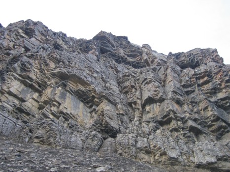
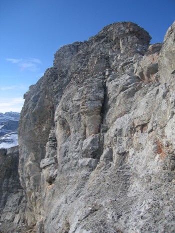
Approaching one of the more difficult rockbands
I made it about 2/3 of the way up this before chickening out, retreating, and going around
Interesting rock while traversing around the above rockband
Same as above
Same as above
Same as above
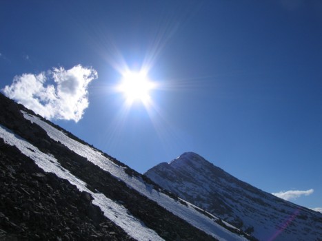
The ascent route
More rock
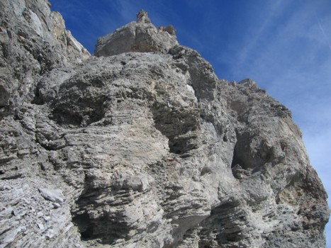
Almost there; summit at the right
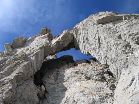
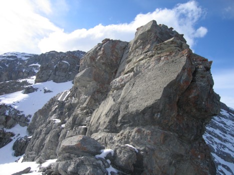
The crux of the trip, right before the summit
Looking for an easy way around the crux; obviously, this wasn't it!
Looking back down the ascent route after the crux
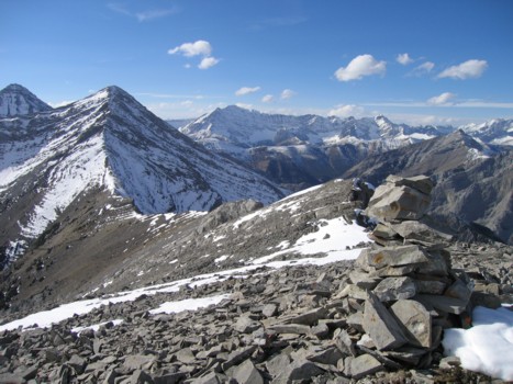
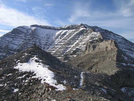
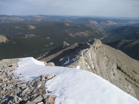
The summit cairn, with the higher unnamed summit to the west; Mist Mountain in the background
Enjoying the easy descent route
Looking back an unnamed
Some of the scenery of Mount Burns