Mount Siyeh
August 18, 2019
Mountain height: 3058
m
Elevation gain: 1262
m (+150 m)
Ascent time: 3:40
Summit stay time: 3:10
Descent time: 2:30
 Solo scramble.
Until now I’ve never included my summit stay time in the statistics, so
what’s up with this one?
To make a long story short, myself and the twelve or so other people
making their way to the summit of Mount Siyeh were all expecting completely
clear skies and no winds. Every forecast I checked was predicting a perfect
day. Needles to say, such was not the case. Not only was the summit a complete
whiteout, but it was viciously windy and brutally cold.
 Seven of us arrived at the top at the same time, some of my co-hikers/scramblers wearing
shorts and having no gloves. I, on the other hand, had brought my winter jacket
and winter gloves. As such, I put on my layers and sat down for the long haul.
Clearer skies were on their way, just quite a bit behind schedule. Everyone
left and new people arrived. Each, in turn, shivered for a while and then also
left. One girl asked why I wasn’t cold and I simply replied “I’m Canadian” (it
seemed like a good, if completely nonsensical answer!)
Seven of us arrived at the top at the same time, some of my co-hikers/scramblers wearing
shorts and having no gloves. I, on the other hand, had brought my winter jacket
and winter gloves. As such, I put on my layers and sat down for the long haul.
Clearer skies were on their way, just quite a bit behind schedule. Everyone
left and new people arrived. Each, in turn, shivered for a while and then also
left. One girl asked why I wasn’t cold and I simply replied “I’m Canadian” (it
seemed like a good, if completely nonsensical answer!)
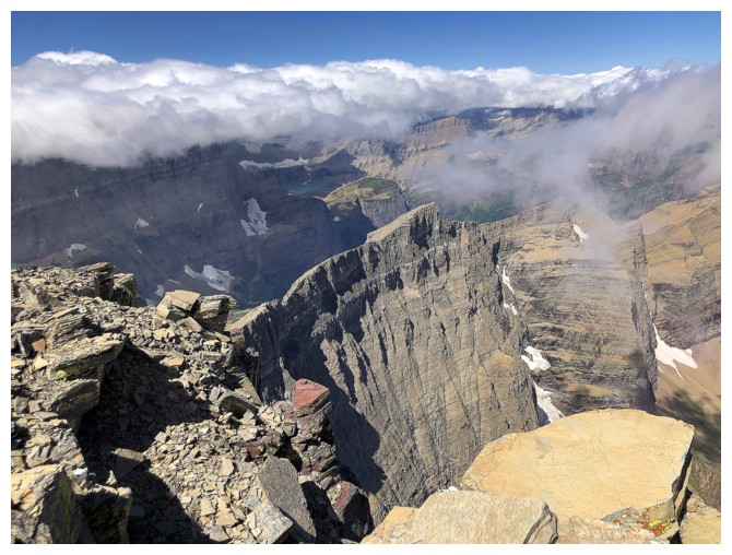
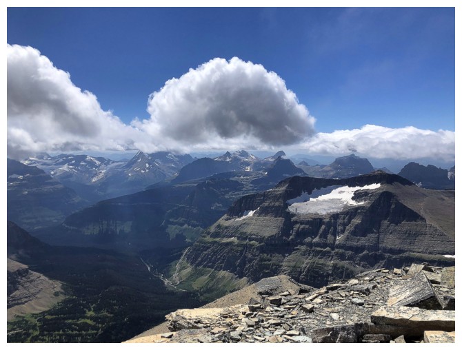
The weather was wicked – in good ways and bad. Clouds were forming in
the valleys, rising up, and then whipping by at fantastic speeds. In between
the bouts of total whiteout, open views of total awesomeness were enjoyed by
everyone who happened to be there at the time.
I did at one point decide to leave and descended about 150 vertical
metres, before opting to return, in case the weather improved. It did, granting
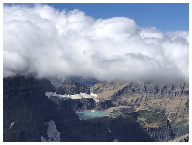
me and the friendly guy already up there outstanding views of Cracker Lake, the
connecting ridge to Mount Wynn and, recently ascended, Allen Mountain. One by
one, familiar peaks emerged from the dense clouds. Unfortunately the clouds
didn’t at any time disappear completely, but enough for me to see that this was
probably one of the best viewpoints in the park. The trip immediately was catapulted
to the top of my “mountains to repeat on an actual perfect weather day” list!
I’ll be back (at some
point).
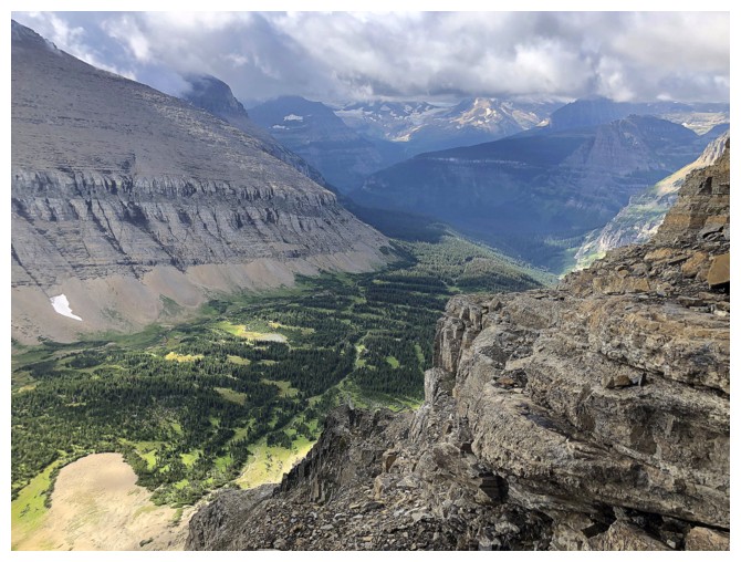
Mount Siyeh. Things didn't look all that bad at this point
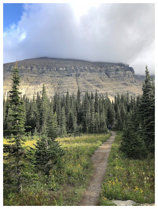
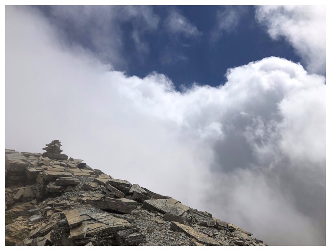
Clouds have now consumed the summit and it will stay that way for several hours
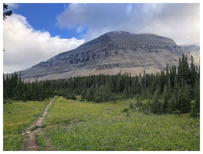
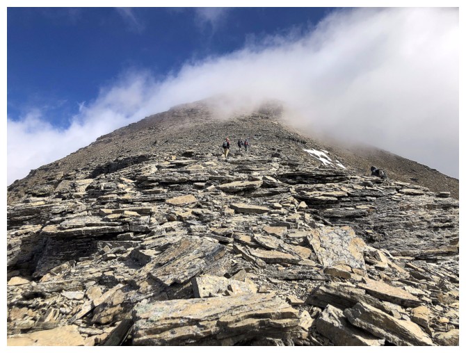
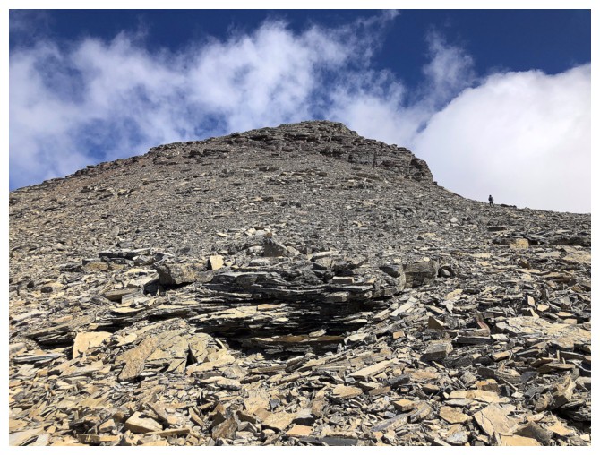
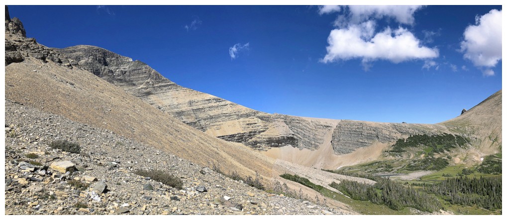
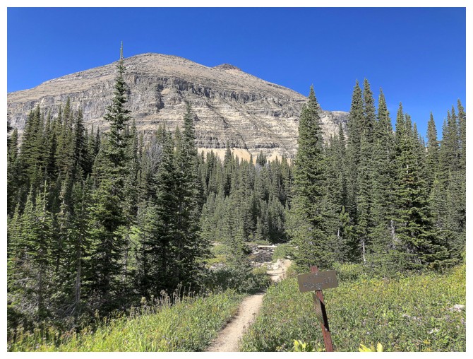
The ascent route goes up one of those gullies. Can't remember which one, but there is an obvious trail.
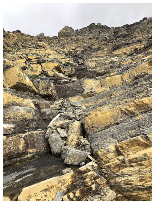
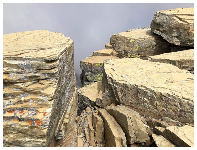
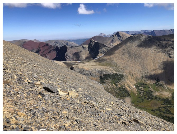
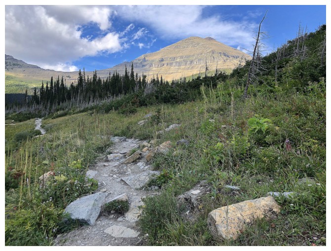
Typical rock scenery on ascent
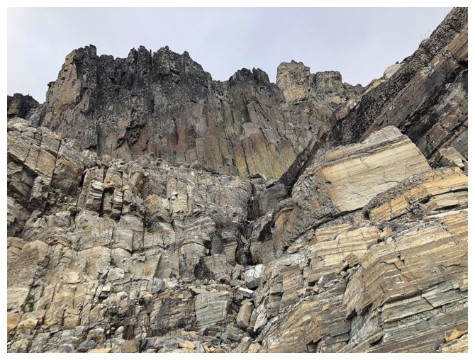
More sweet Montana rock
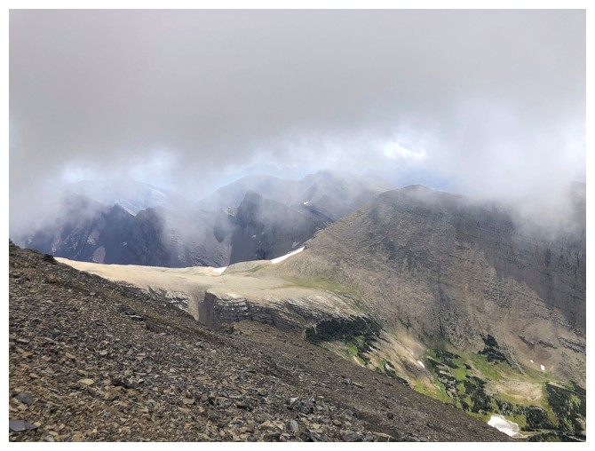
Much lower Matahpi Peak is not immune to the cloud cover
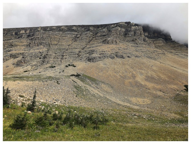
Heavy cloud to the southwest - no one was expecting that
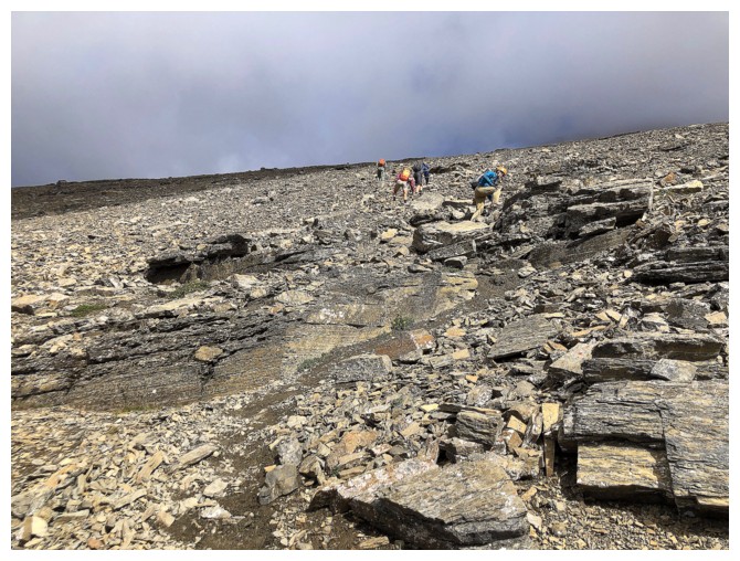
A family of four and party of two are ahead of me - the family made it from car to summit in less than 3 hours - impressive!
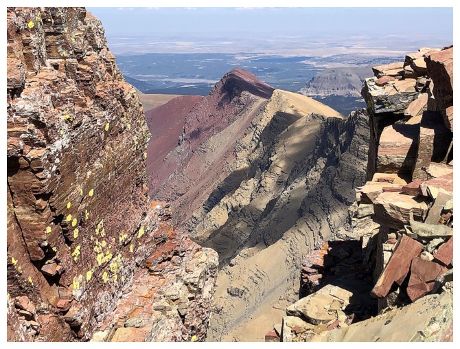
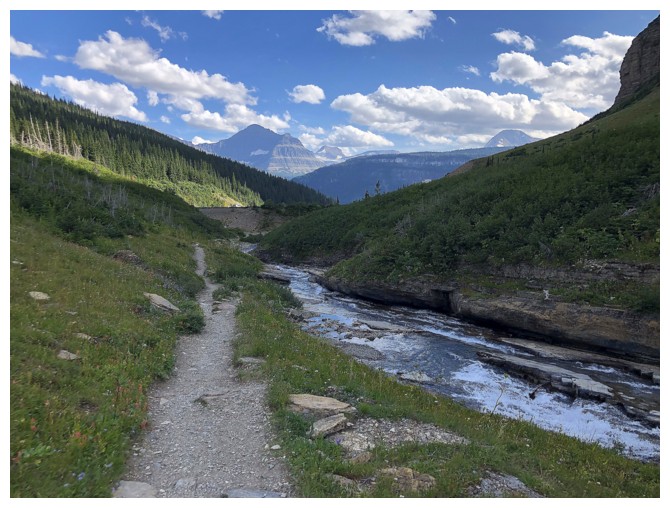
Looking over to Siyeh Pass - a very popluar day trip
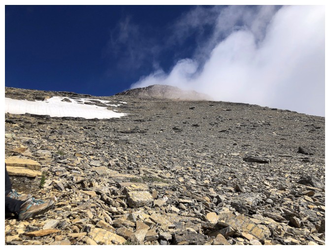
There's the summit and things are looking up (pun intended)
I may have spoken too soon
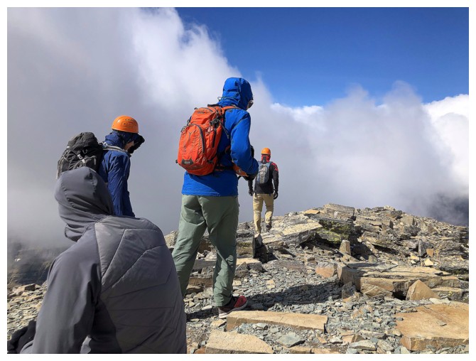
At the summit, watching people leave because of the cold temperatures and lack of views
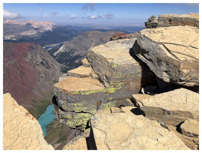
This was the only good view for a solid hour
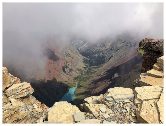
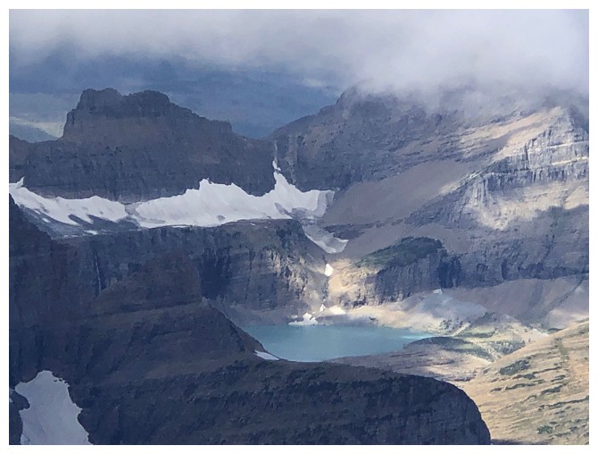
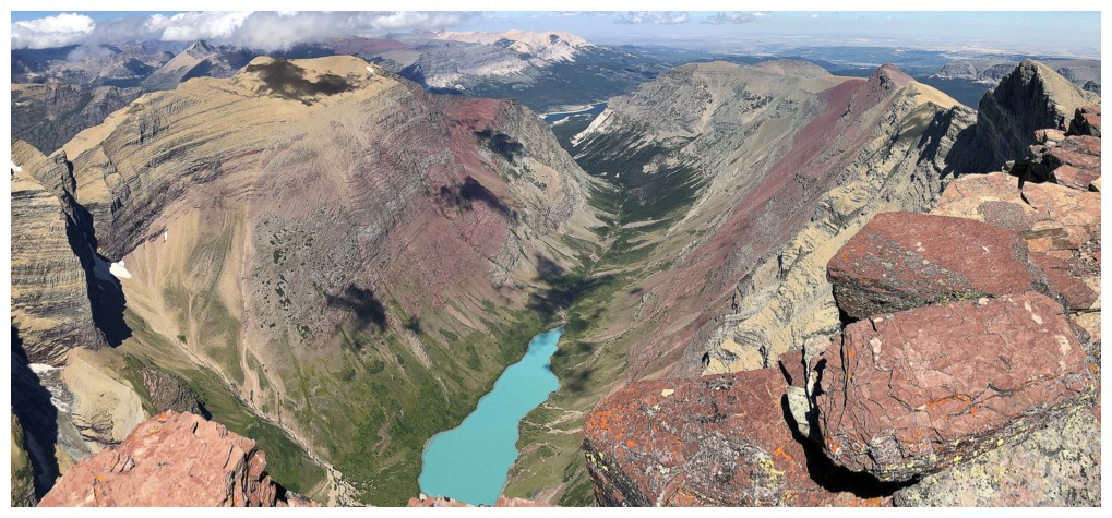
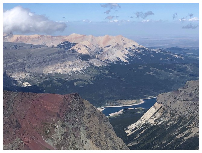
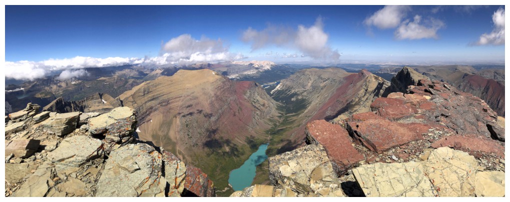
The clouds lift momentarily to reveal Cracker Lake. I left the summit
shortly after since this was the decent view I saw in the hour I sat
there.
Clearing again so I returned to the summit
The weather to the west is still blustery, but at least the view provides some interest
Improving to the west
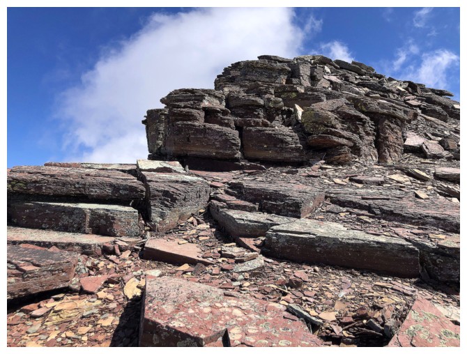
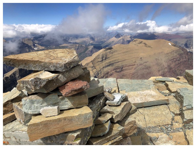
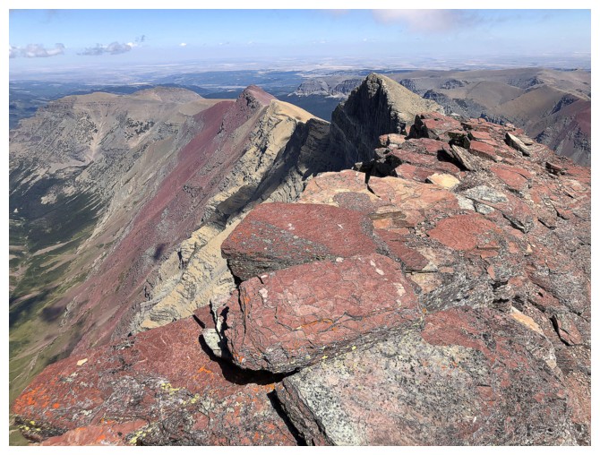
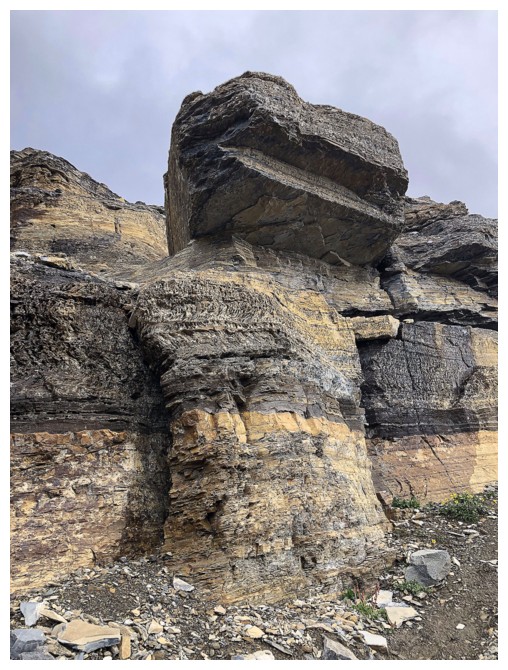
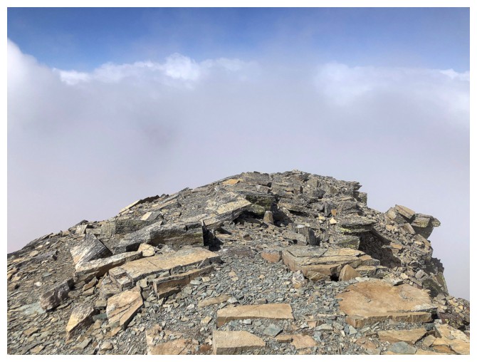
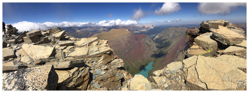
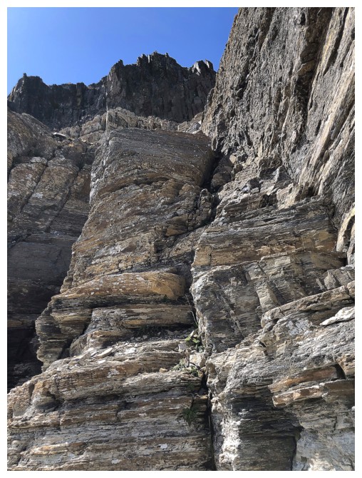
And naturally the mountain is topped with red argillite. Yeah!
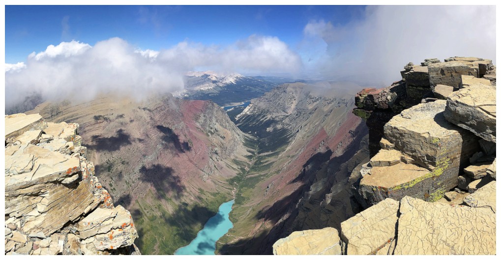
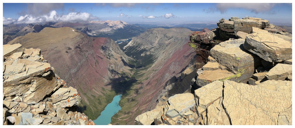
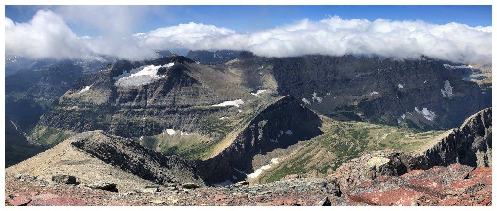
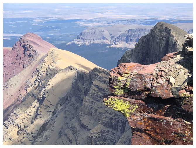
Back at the summit, the view has improved considerably. Allen Mountain is above Cracker Lake on the left.
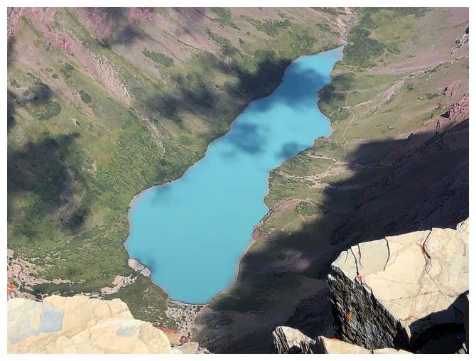
Cracker Lake gives Peyto Lake (scroll to near the bottom of the report) a run for its money as the best looking light turquoise lake in the Rockies
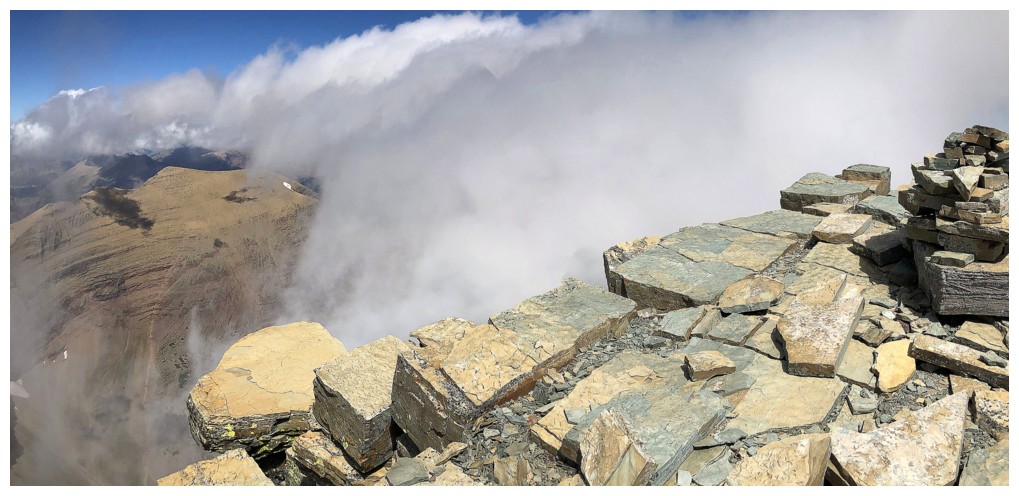
Huge banks of cloud coming in waves from the west
Click HERE is see a short video of the clouds
Another wave of clouds consumes the summit, but at least there's lots of colourful rock to appreciate
Surprisingly clear to the west for a few minutes
And then another wave of clouds roll in
.....clear
......cloudy
...clear
Good old Yellow Mountain
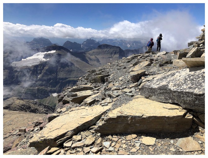
More hikers/scramblers are coming and leaving
Hands down the best view of the day
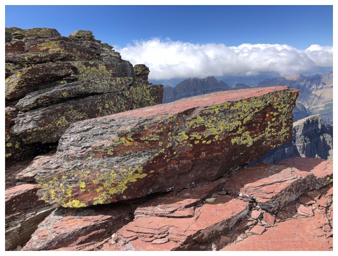
....although you really can't beat yellow lichen on red argillite!
Case in point
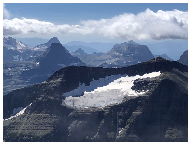
Piegan Glacier on the northeast side of mounts Piegan and Pollock
The long traverse to Mount Wynn looks very tempting
Looking over to Siyeh Pass, on descent
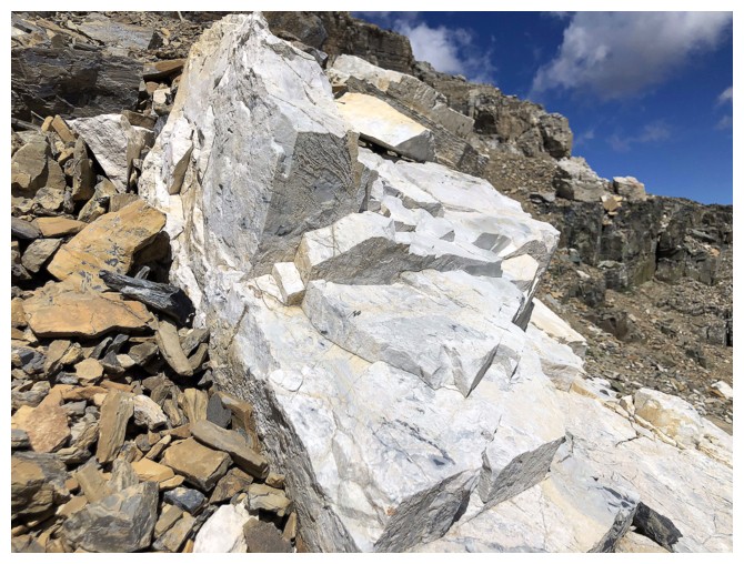
A striking stripe of white rock
 \
\
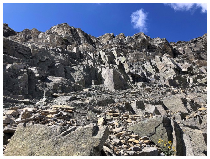
Looking back up the ascent route
Same as above
Had I not spent more than 3 hours at the summit, I would have followed the excellent trail to Siyeh Pass at the right
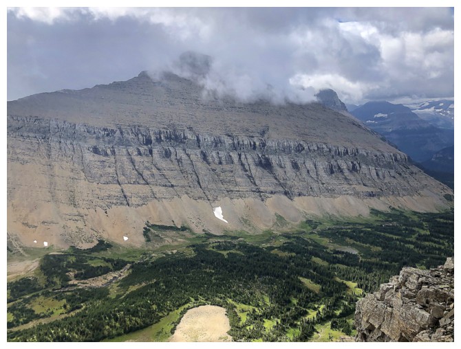
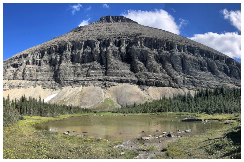
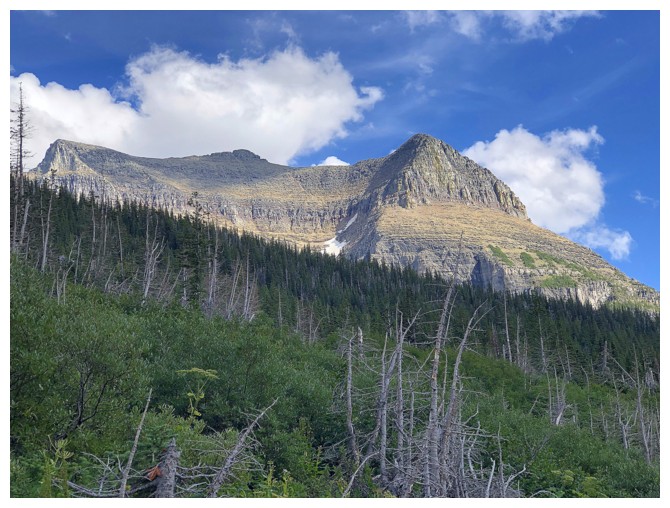
Looking back at Siyeh, now completely cloud-free
A small tarn below Matahpi
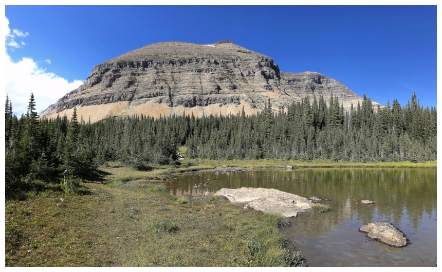
The tarn and Siyeh
Last look at the objective
Last few hundread metres back to the start
Another last look at Siyeh!
Going-To-The-Sun Mountain is definitely on my "to-do" list
The End