Thrift Peak
March 26, 2025
Mountain height: 2176 m
Total elevation gain: approximately
1100 m
Ascent time: 6:15
Descent time: 3:45
Scrambling with
Mark.
A trip up and
down Thrift Peak (Livingstone Fire Lookout) was supposed to an easy and
care-free jaunt up to a fine viewpoint. And while we got the “fine viewpoint”
part, easy and care-free was nowhere to be found!
I downloaded
two GPS tracks before we left in the morning: Bob
Spirko’s via Camp Ridge and Cornelius
Rott’s from the south. The Rott route starts with a ford of the Oldman
River. 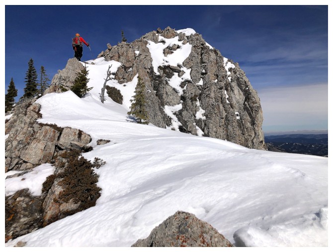 Initially, we had planned on using Bob’s route in order to avoid the crossing,
however I failed to realize that route is accessed from a different road. Oh
well, Cornelius it is.
Initially, we had planned on using Bob’s route in order to avoid the crossing,
however I failed to realize that route is accessed from a different road. Oh
well, Cornelius it is.
That didn’t quite
happen either. After fording with river (mercifully low at this time of year,
and of course we wore hip-waders), we started a direct line up the southeast face,
hoping to find a weakness in the significant rock band guarding the upper
slopes and end of the ridge. At first, the route seemed like a bust, but a
sneaky, narrow ledge suddenly appeared that did in fact grant us access. 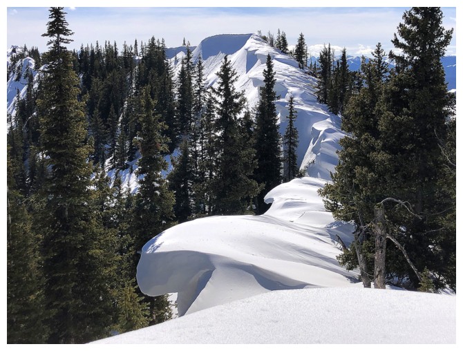 From
above the rock band we were able to gain the south ridge with relative ease,
enjoying a little hands-on scrambling along the way, and utterly snow-free conditions.
From
above the rock band we were able to gain the south ridge with relative ease,
enjoying a little hands-on scrambling along the way, and utterly snow-free conditions.
With all the
hard stuff behind us, we expected an easy 4.5 km stroll to the summit and
lookout, hopefully taking no more than 1.5 hours. In short (actually in long!),
the distance turned out to be closer to 6.5 km, due to our circuitous route,
and that distance required 4.5 hours of brutally strenuous travel to traverse.
Needless to say,
deep, unsupportive snow was the culprit; our foolish decision to leave
our snowshoes in the car definitely its partner in crime! We tried the right side of the
ridge, the left side, directly on the ridge, and even the desperate and last
resort “crawling” atop the snow – all in vain. And every time we battled
through a section and thought we were home-free, another section of challenging
terrain appeared. This is not to say the ridge was devoid of redeeming
features. Replete with amazing cornice scenery and terrific views, our cameras
received as good a workout as our legs and lungs!
Several times,
we considered bailing, but that would have required retracing our back and
forth, up and down route across the ridge. We agreed we had passed the point of
no-return and would have to persevere to the lookout. Hopefully, we could then descend
Cornelius and Bob’s ascent route down the east side.
Persistence did
eventually pay off – just 3.5 hours later than anticipated! We stayed at the
summit just long enough to take in the fine view and catch our breath. The
descent was already a source of concern, and we were a long way from the car.
Before trying
the east side, we did briefly discuss the option to descend the access road on
the west side. While tempting, this route appeared to be ridiculously long, and
we decided against it. Later that evening I would find out that Dave
McMurray and Jeff Lang had used this route in 2013. The east side did
eventually acquiesce but thank “your favourite deity” for the good people who
share GPS tracks. With deep snow and massive cornices along the ridge, the
route was far from obvious. We did find it eventually, though mid-thigh to
waist-deep snow added considerable challenge to the descent. In retrospect it’s
a good thing we didn’t come up this way. Ascending this slope would have been
excruciating and more than likely we would have bailed long before reaching the
summit.
Once down the steepest
terrain, we started a long but extremely rewarding traverse below Camp Ridge.
Unfortunately, the energy to follow the ups and downs of the ridge simply didn’t
exist. We settled for side-sloping most of the ridge before gaining it near the
south end. Spotting the old road/trail that Cornelius and company used was a
big relief; and following that trail back to the river crossing and our
vehicle, a merciful end to a long and very strenuous day.
Not at all the
trip we were expecting – far more difficult (in snowy conditions) and far more
interesting. Aside from the user-unfriendly snow, an awesome day out!
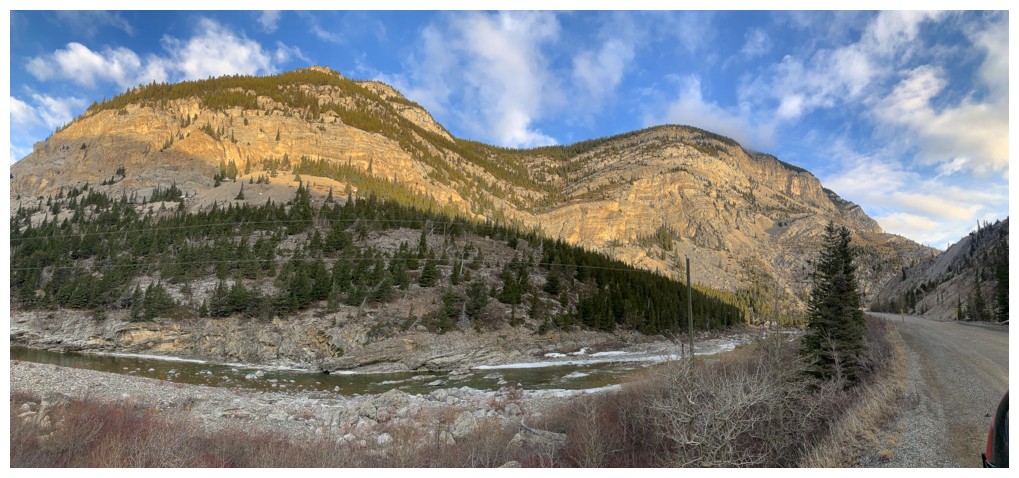
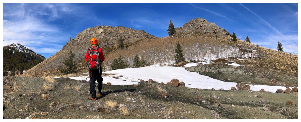
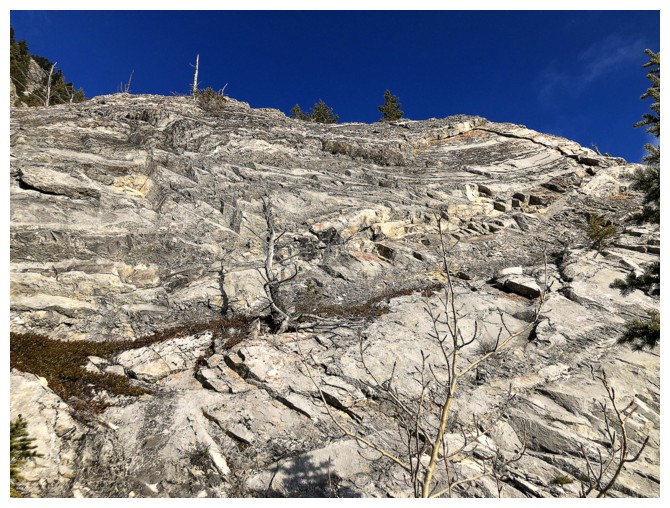
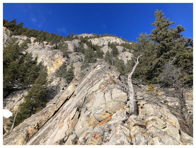
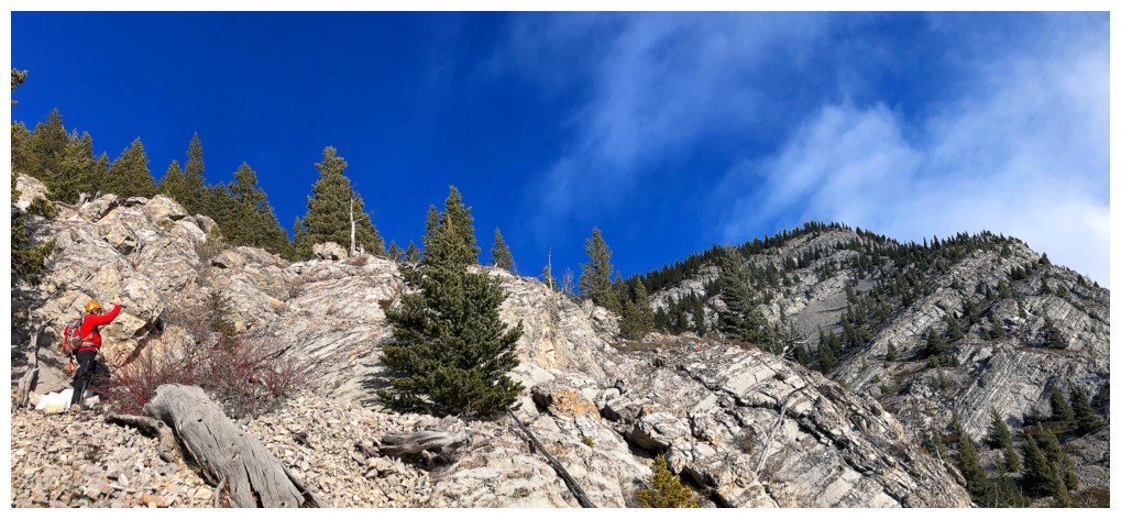
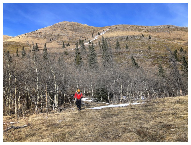
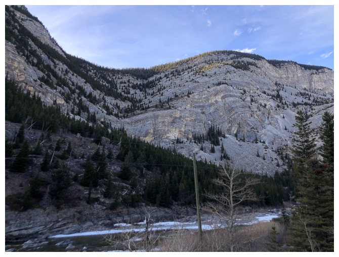
The southeast side of Thrift, as seen from where we started. Our route went up the face, just right of centre.
Mark is already on the other side of the Oldman River
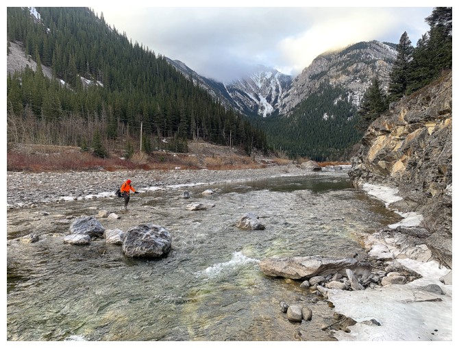
An old man crossing the Oldman
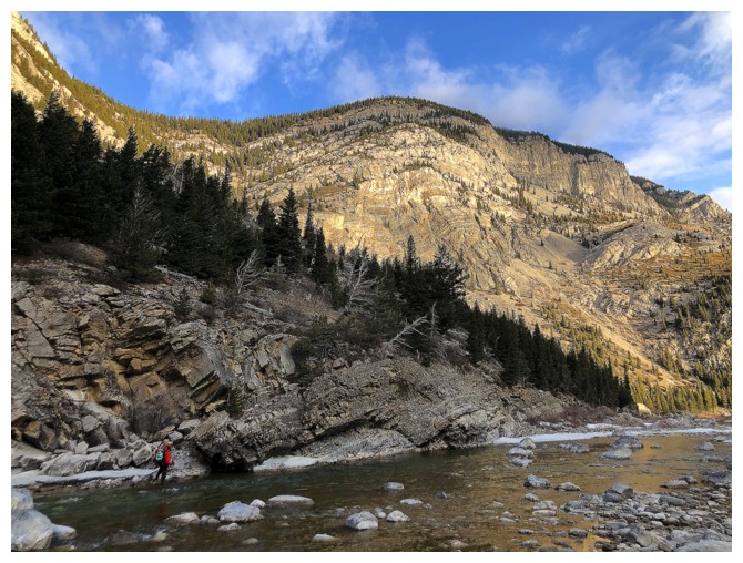
Looking down on the river
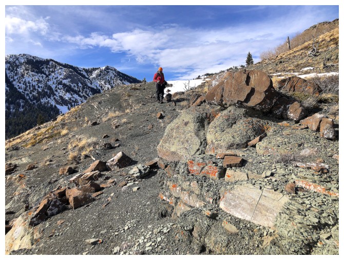
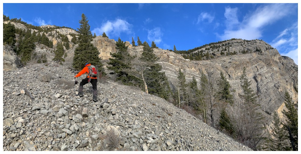
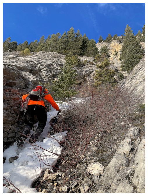
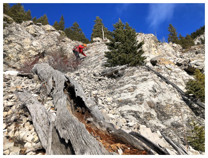
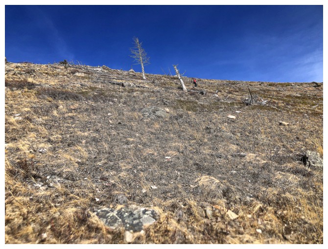
The first part of the ascent involved getting to the base of the rock band
Looking for a weakness in the band
Nothing there
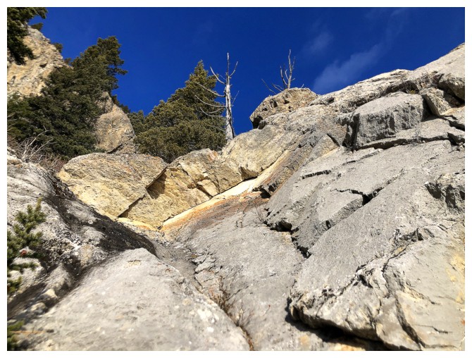
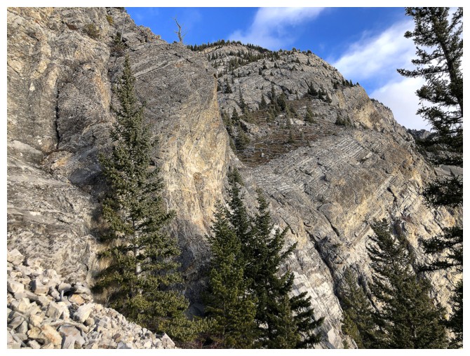
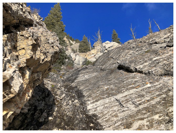
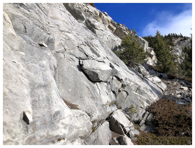
This route had potential
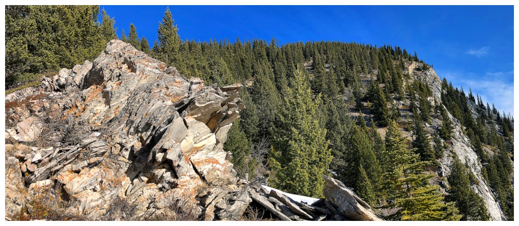
Beautiful rock enhanced by the surprisingly clear skies
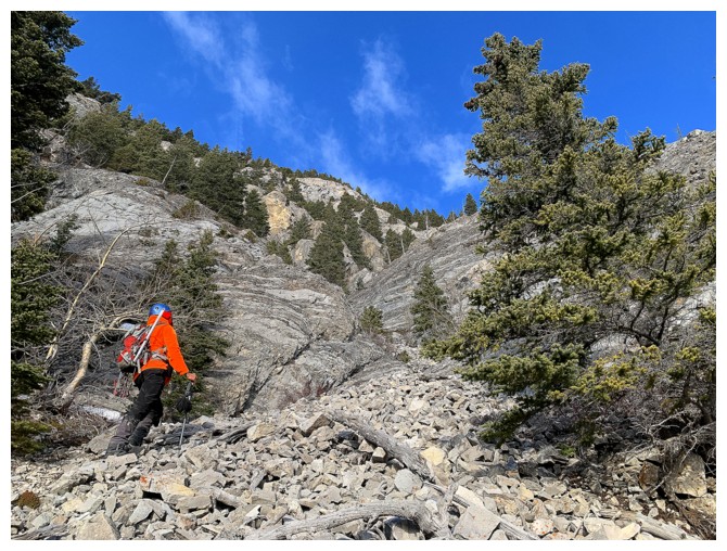
Looks good so far
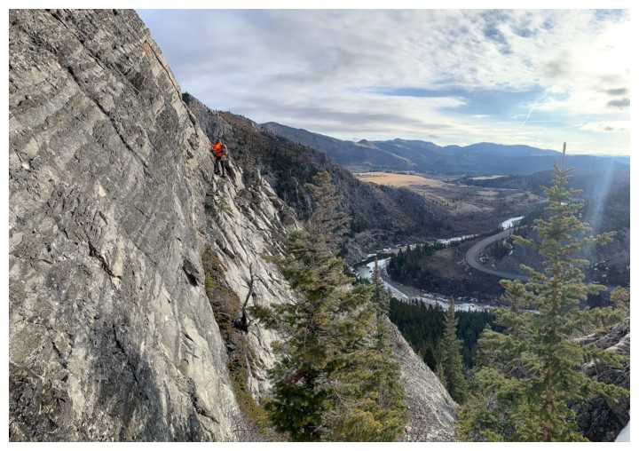
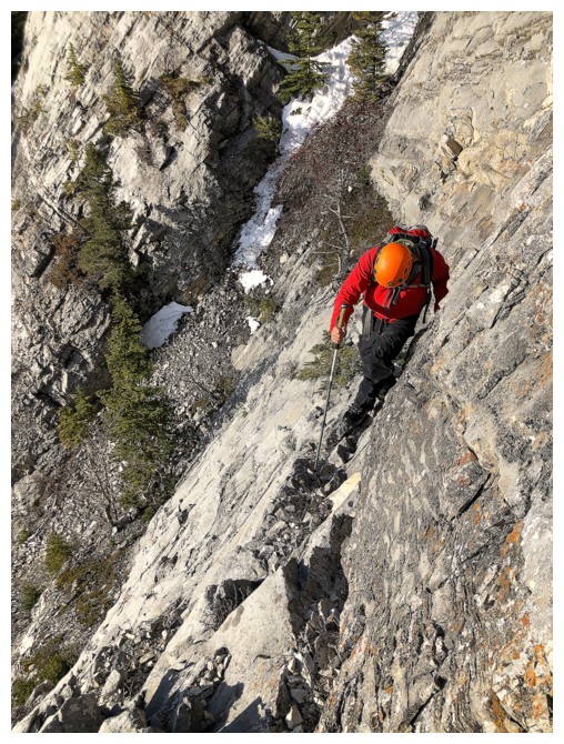
Not so good. This terrain is much steeper than it looks, was wet, and I spotted a couple of rappel/belay rings at the top

Again, beautiful rock!
The sneaky, narrow ledge
Terrain above the ledge
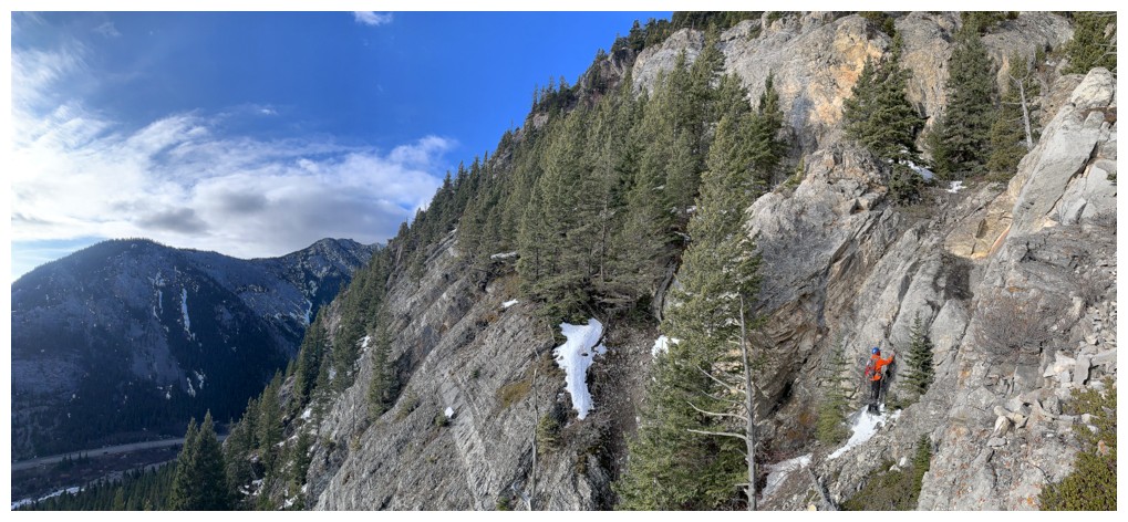
Mark carefully traverses the ledge - it's quite narrow and very exposed
Mark stayed behind while I...
...traversed over to see the rings
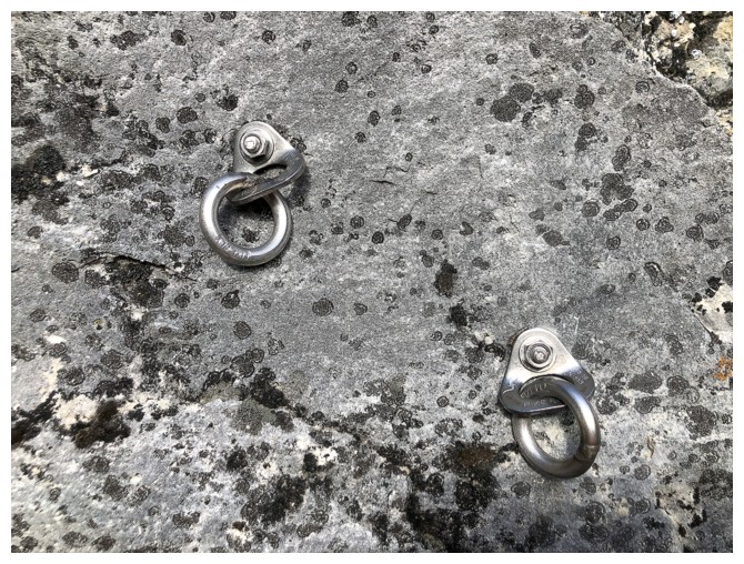
These ones
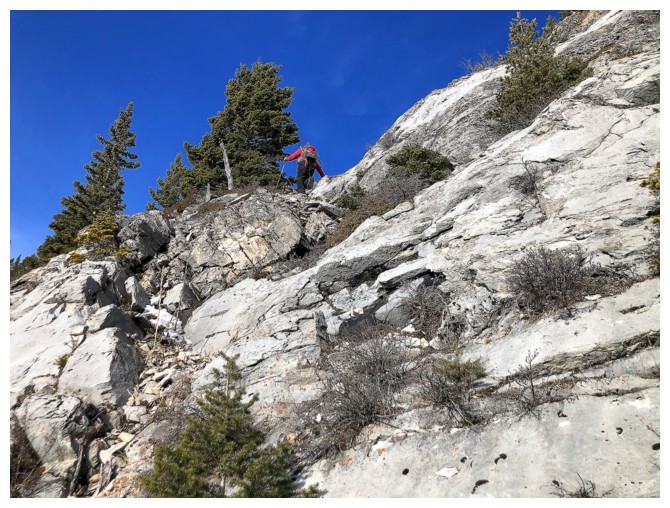
Continuing up
The terrain is varied and interesting throughout
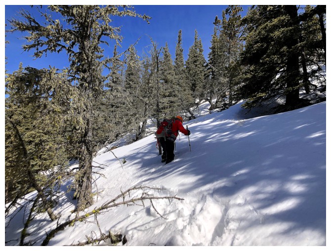
Mark ascends the only patch of snow we encountered on the way up to the ridge
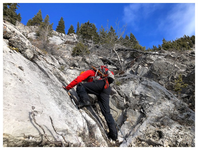
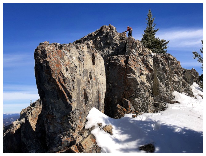
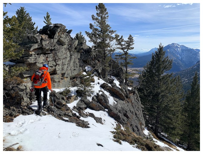
A little scrambling
Another cool wall of very solid limestone
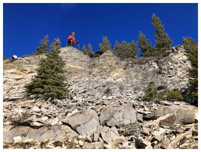
Mark scrambles up at the far end
The limestone gives way to colourful but brittle shales
Same as above
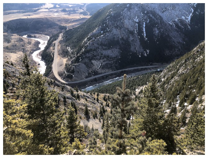
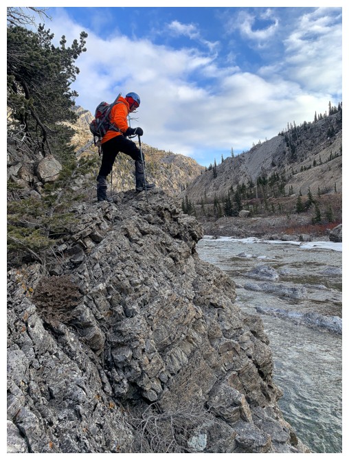
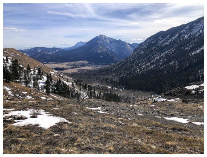
Looking back down to the river and the dramatic turn it makes at the north end of Thunder Mountain
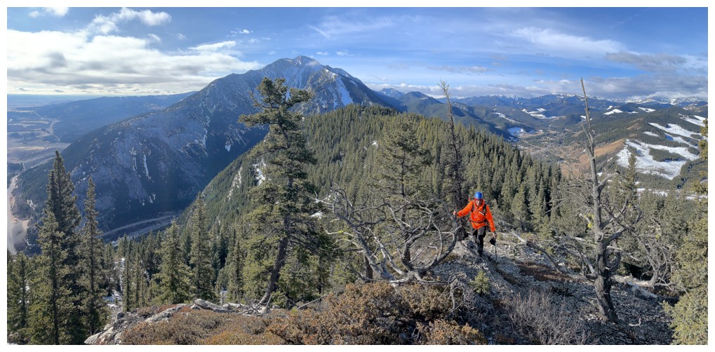
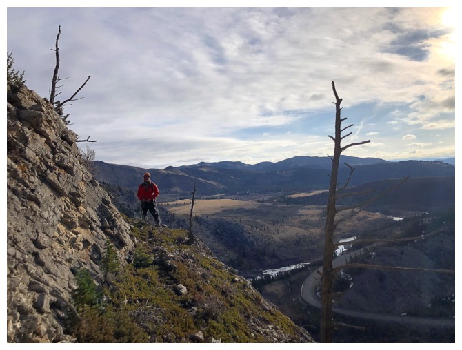
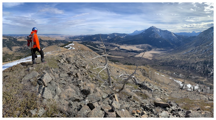
On the ridge. Thunder Mountain behind - an ascent I would like to repeat.
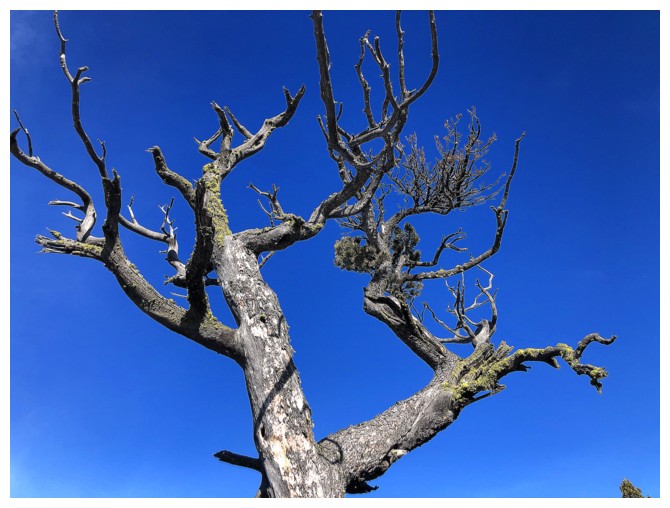
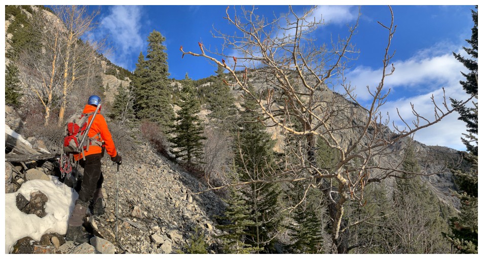
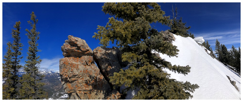
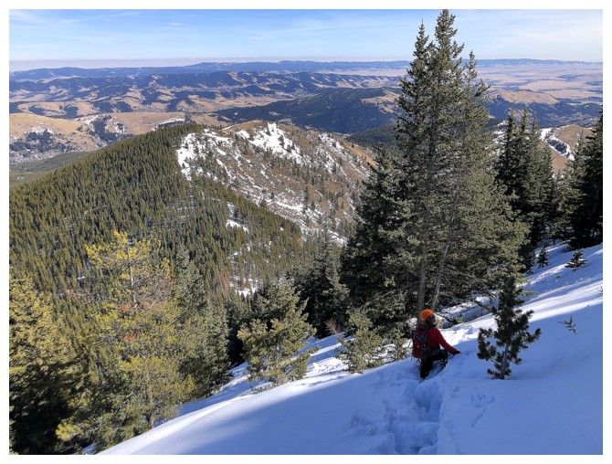
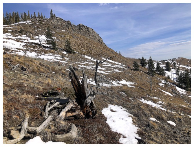
Scary tree, but not as scary as the conditions we will soon encounter on the ridge
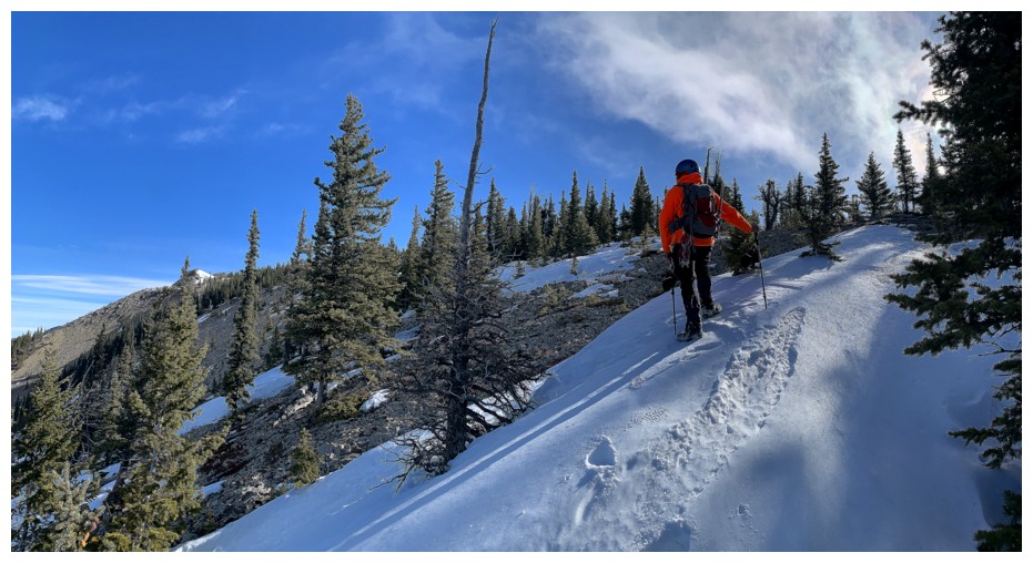
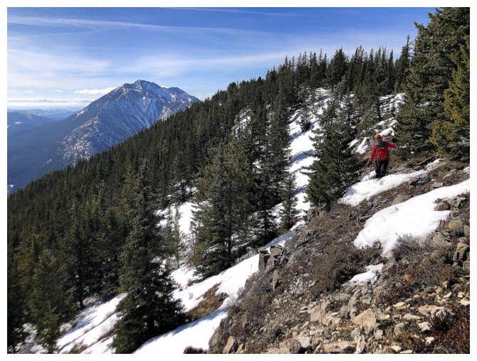
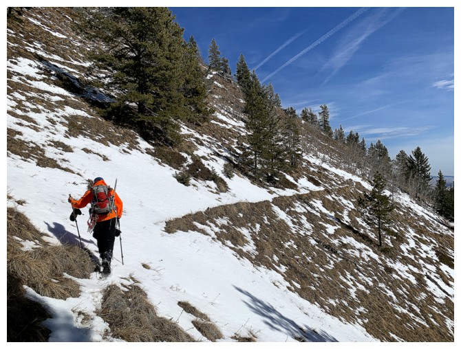
Starting to run into snow patches...
...but at first they were avoidable on the west side
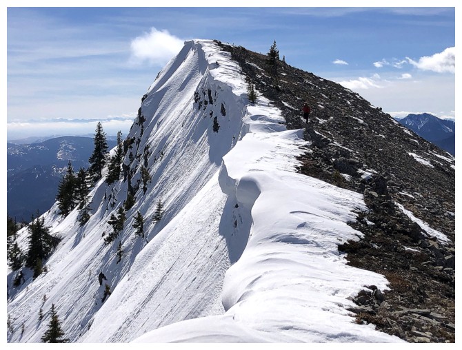
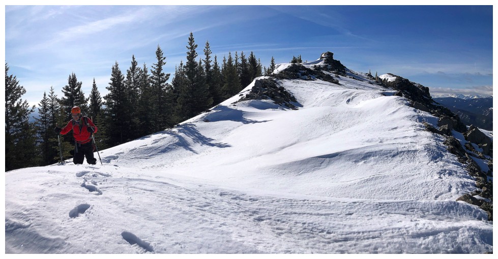
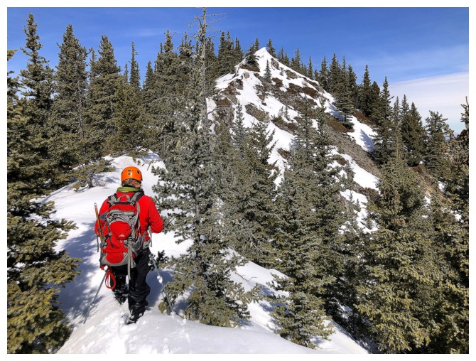
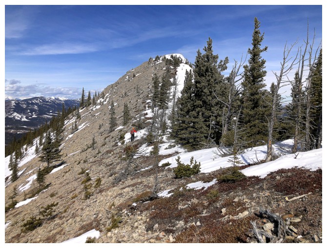
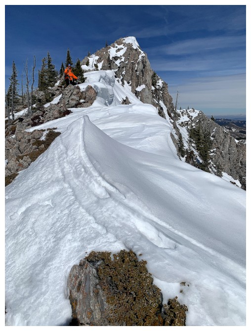
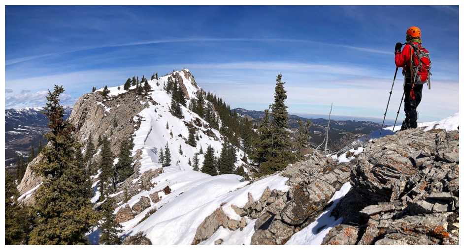
The first significant highpoint on the long ridge
More snow but it's still not a concern
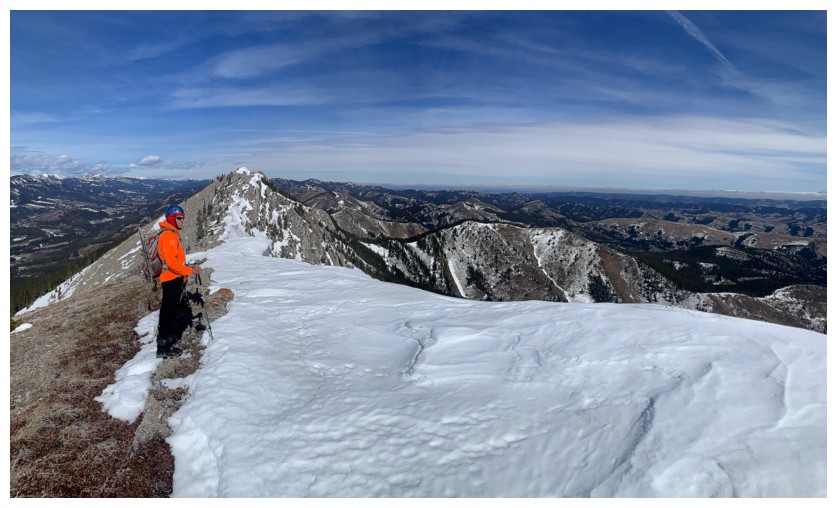
In fact, the snow was welcome here for its scenic value
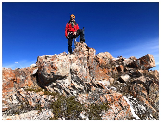
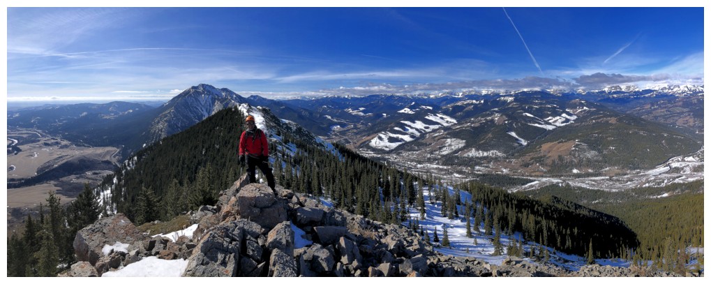
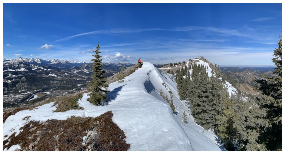
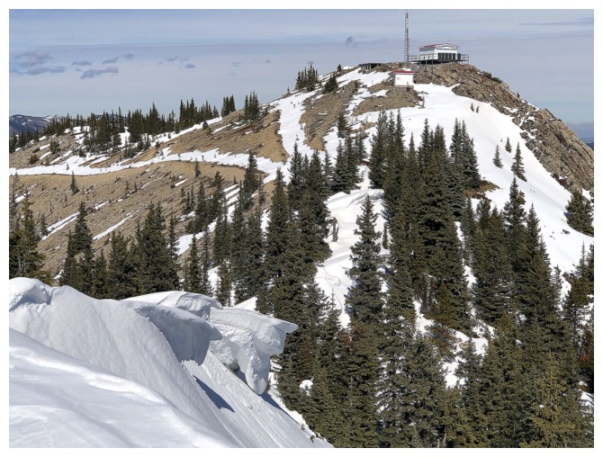
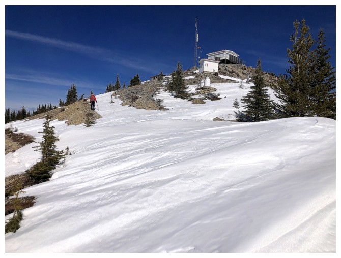
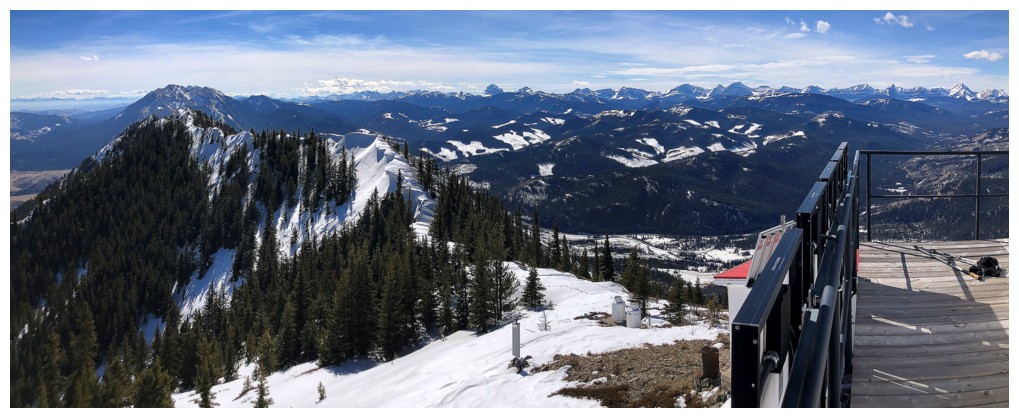
View from the former lookout site
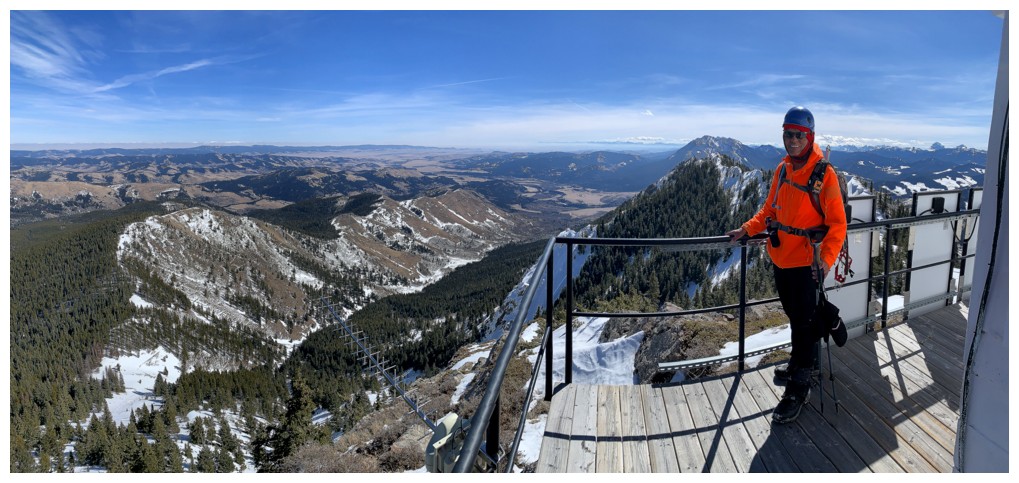
Actually enjoying the snow
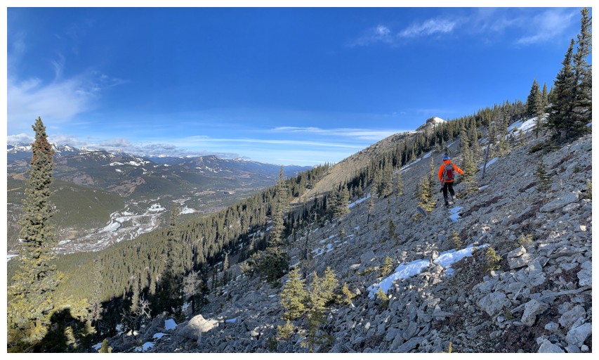
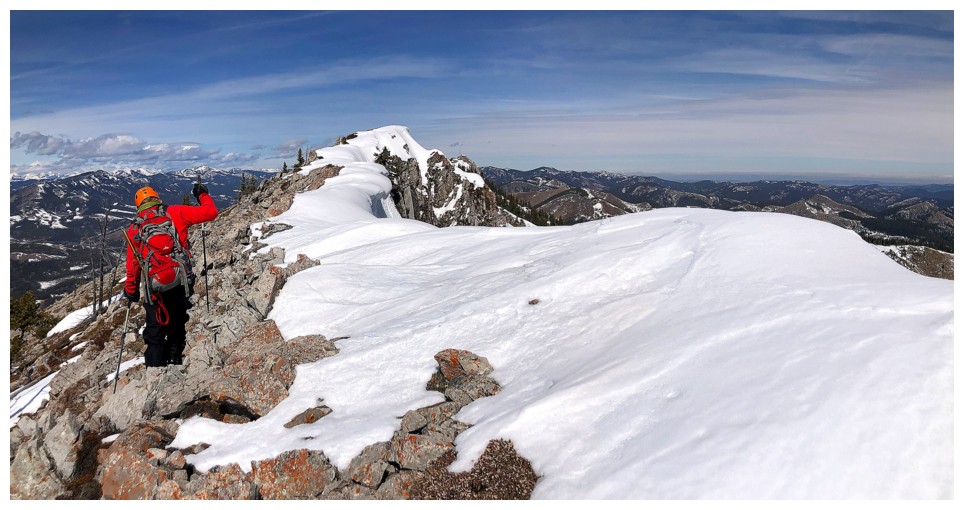
View to the north. The summit of Thrift is quite distant still.
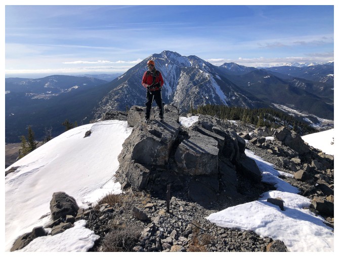
South view
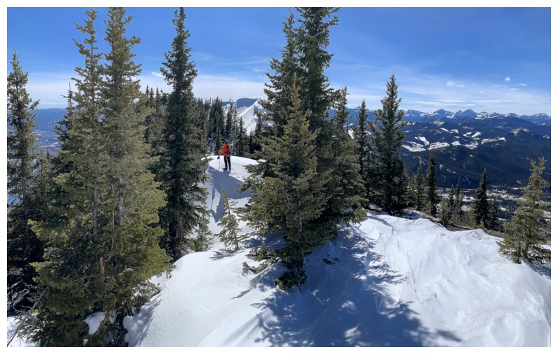
Onward
Lots of cool scenery on the ridge
Same as above
Done the first section, but the most challenging terrain is yet to come
Happy to see some lichen before the snow onslaught
Trying the east side of the ridge
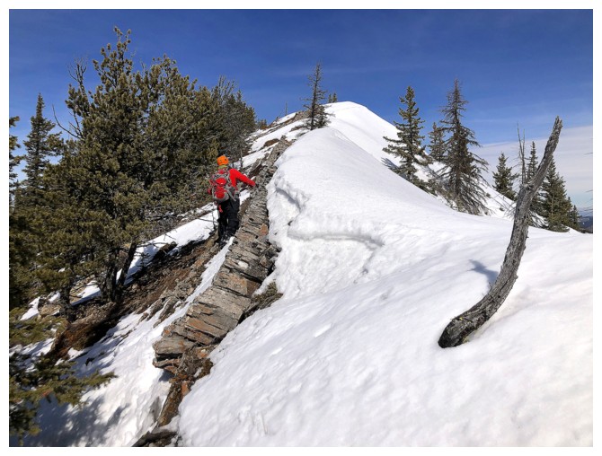
Halfway along, there's a super cool fissure in the rock that needs to be treated with care when snow-filled

At the end of the fissure
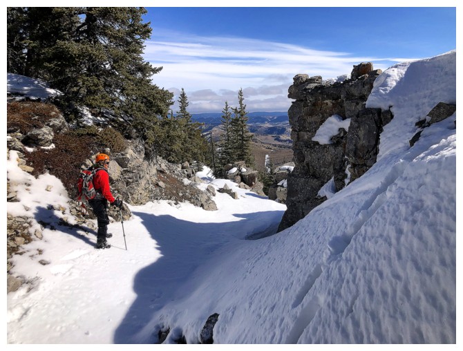
Mark crosses the fissure in a safe place
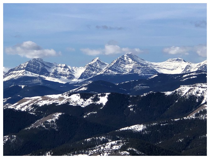
Peaks to the west
Back to the west side, but there's no reprieve from the deep snow
Trying the ridge again. We resorted to crawling at one point.
That's more like it

Tornado Mountain. At 3199 m, it's a giant in the immediate area
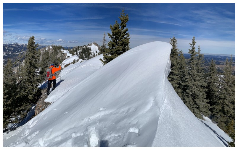
Perfect conditions here: snowy on the east side, but clear on the west
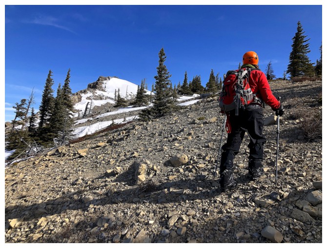
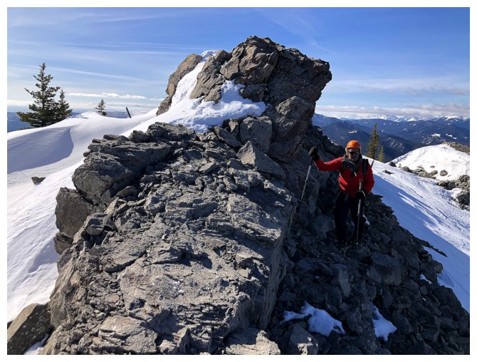
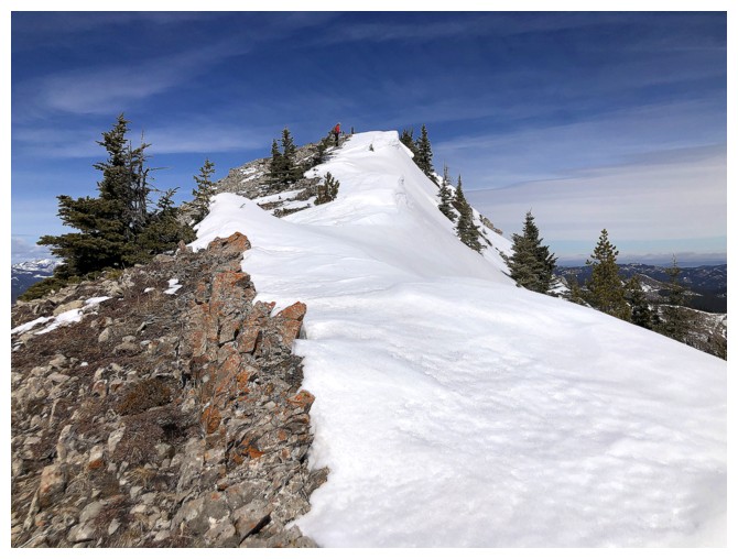
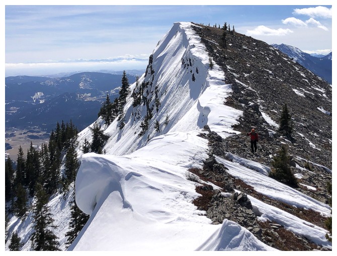
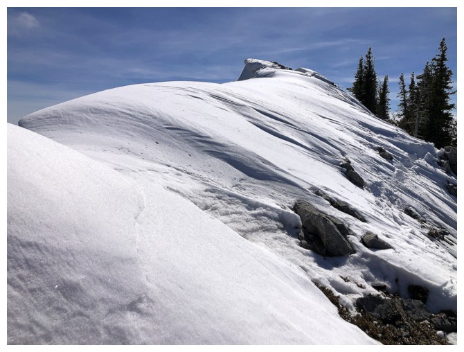
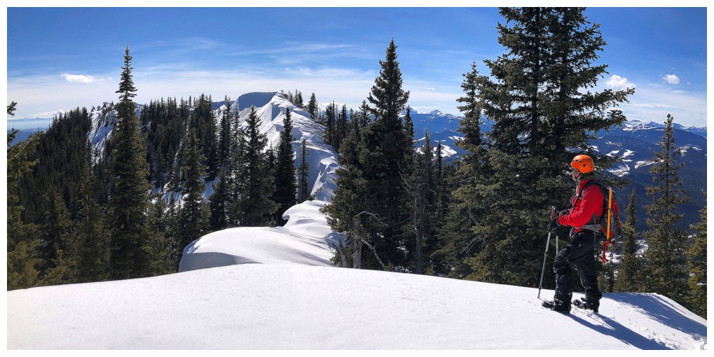
Approaching another highpoint
The summit STILL seems far off!
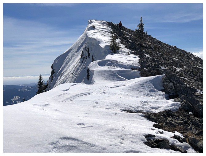
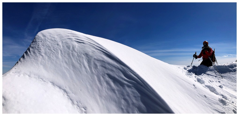
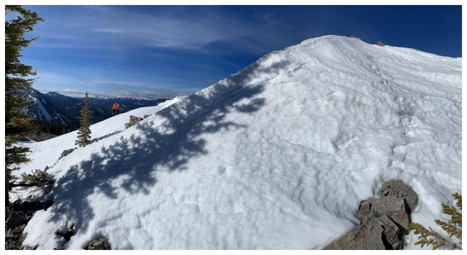
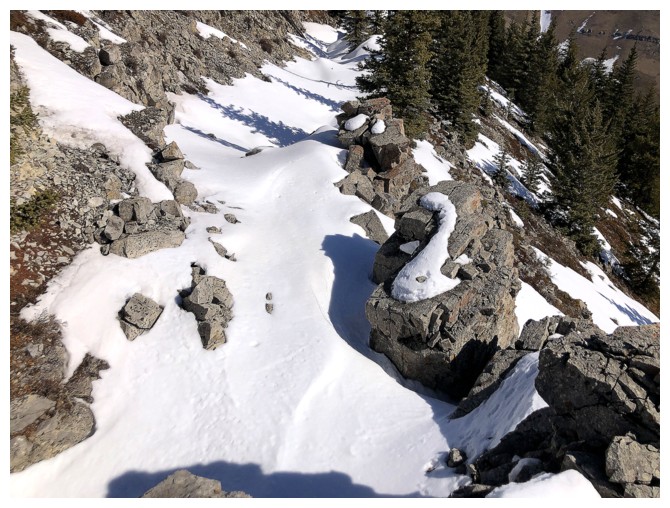
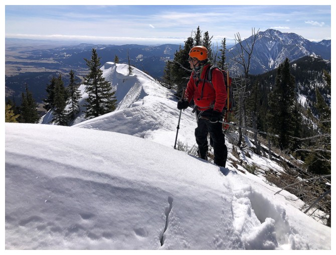
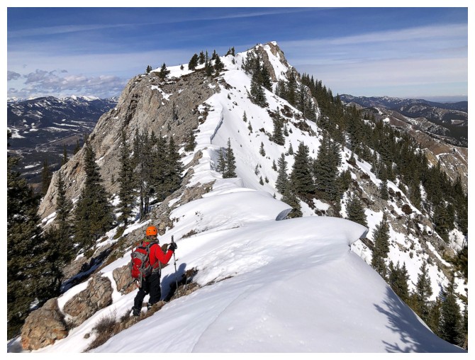
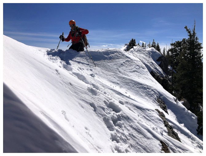
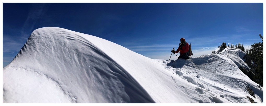
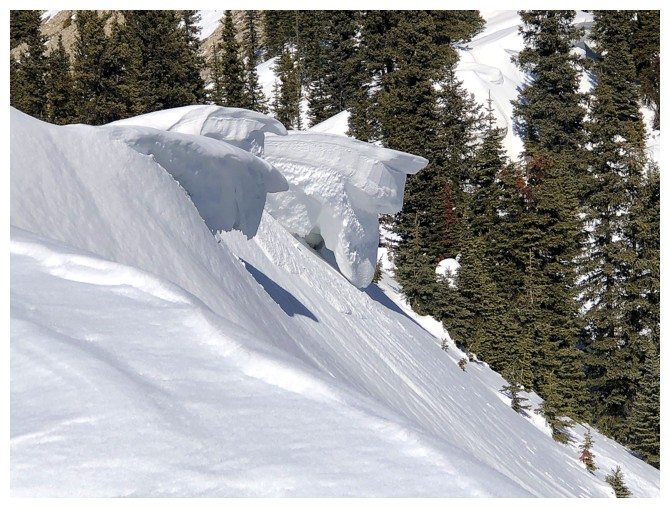
Impressive cornice scenery from here to the top
Mark gives some scale to the size of the cornices
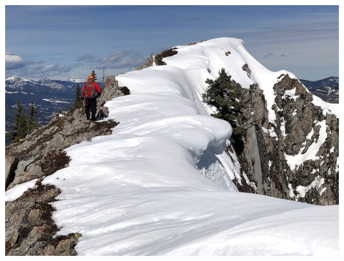
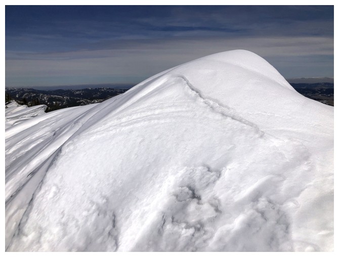
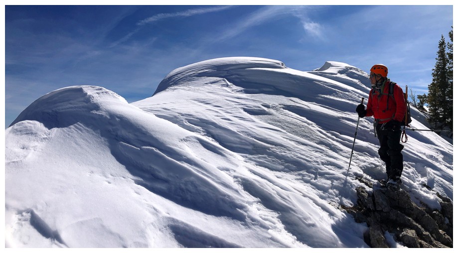
My favourite snow scenery of the day occurred here and a little further north
Definitely giving this cornice a wide berth
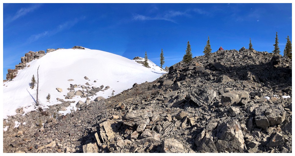
At yet another highpoint and we still can't even see the summit! This ridge is deceivingly long.
Back to the west side
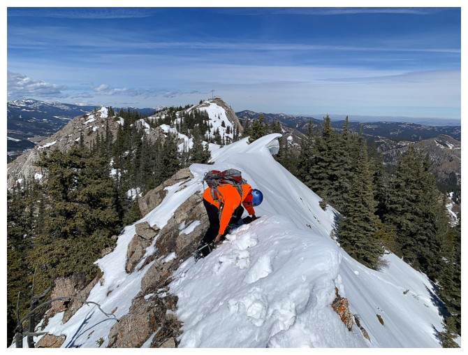
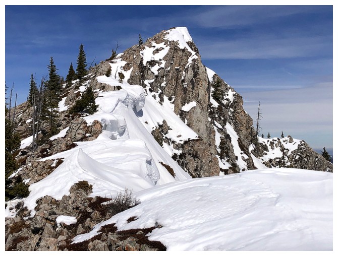
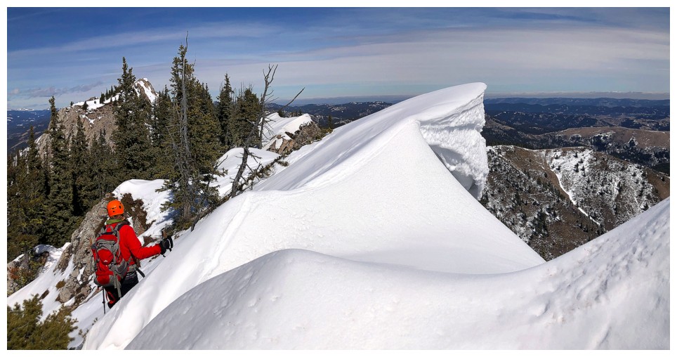
That didn't last long. This was the crux of the ridge. It doesn't look
to be too bad but it's actually quite exposed on both sides.
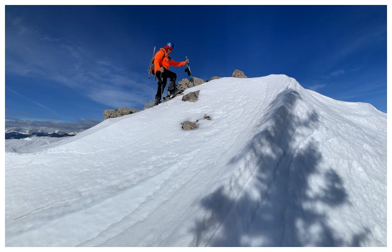
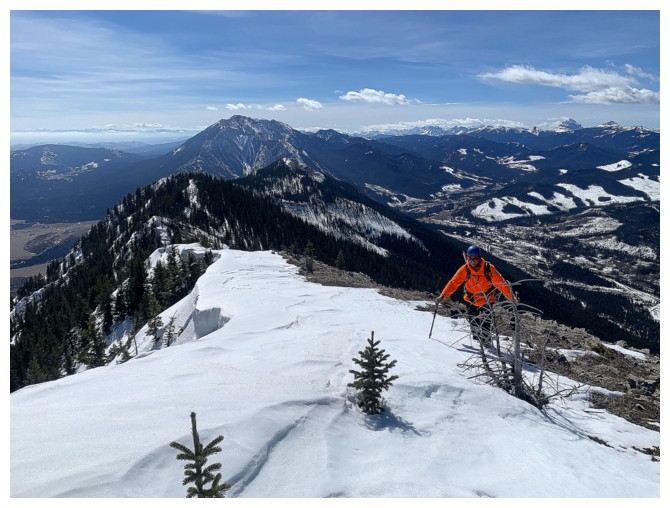
Mark prepares to tackle the crux
I'm getting to safer terrain
Ahab and his White Whale - "He piled upon the whale's white hump the
sum of all the general rage and hate felt by his whole race from Adam
down; and then, as if his chest had been a mortar, he burst his hot
heart's shell upon it"
or
"to
the last I grapple with thee; from hell's heart, I stab at thee; for
hate's sake, I spit my last breath at thee." Perhaps an overly dramatic reaction to a cornice!
I've calmed down now
The summit and lookout are mercifully close now
Last round of cornice scenery
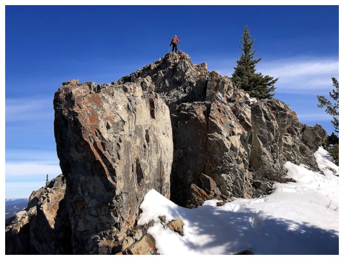
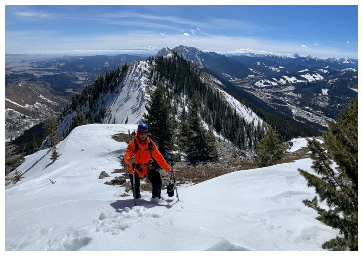
Mark leads us to the top
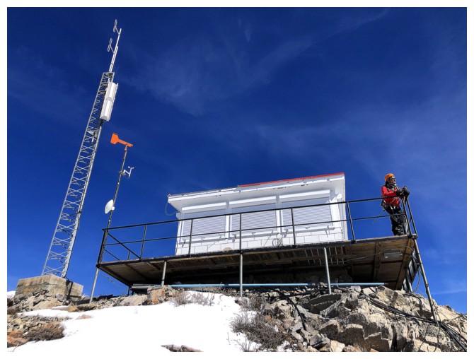
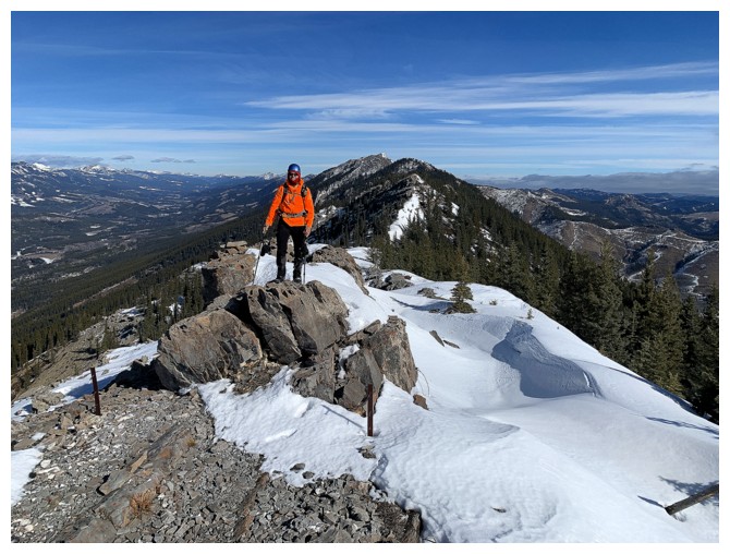
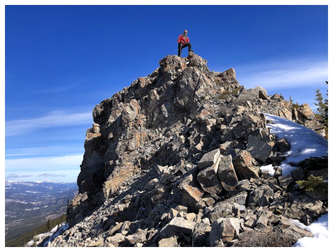
Success...finally!
I'm lagging behind as usual
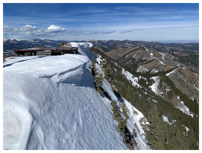
The view to the north does not inspire confidence regarding the route down, as it looks impossibly steep
South view
Southeast view
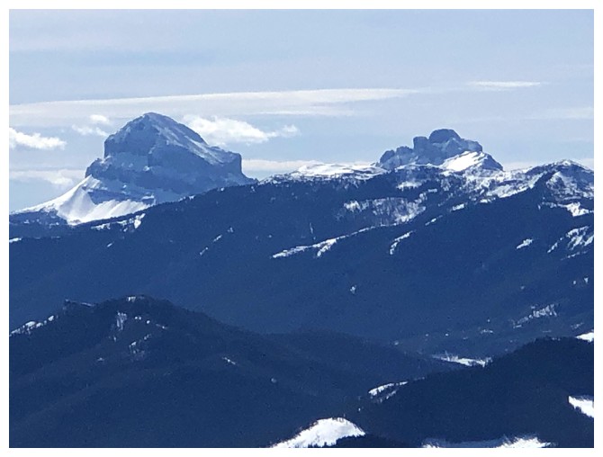
Crowsnest Mountain (left) and The Seven Sisters
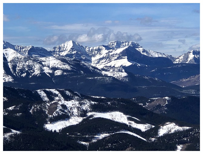
Not sure what peaks these are but they look very cool
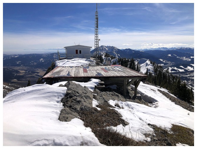
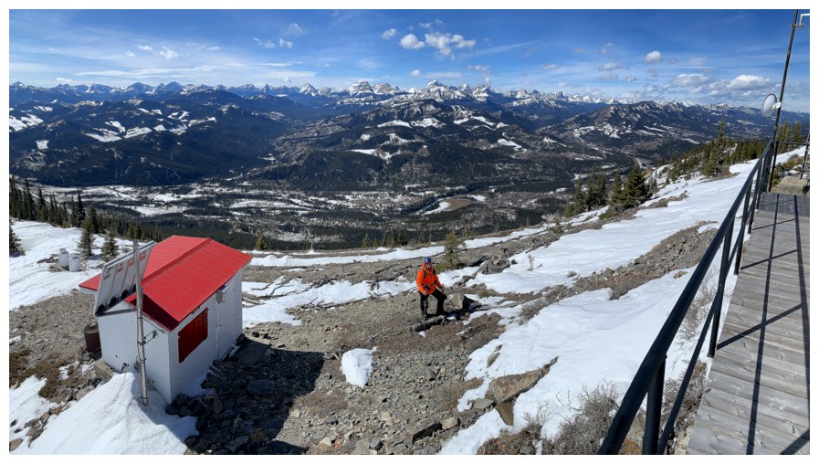
Too bad a helicopter was not on the pad and too bad neither of us can fly one if there was
Descending waist-deep snow
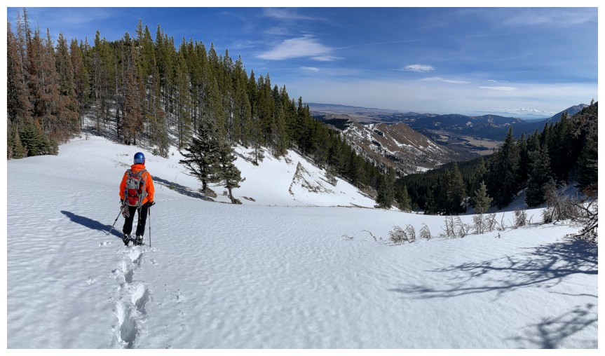
Down at the Thrift Peak/Camp Ridge col. Unfortunately, we lacked the energy to ascend Camp Ridge.
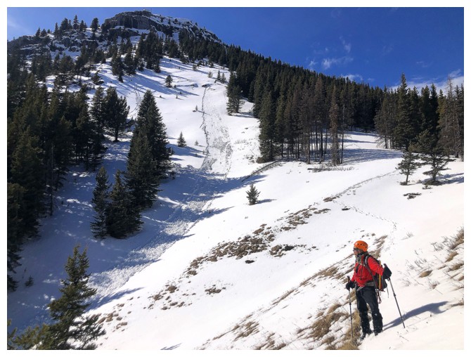
Looking back to the summit. Note the avalanche debris.
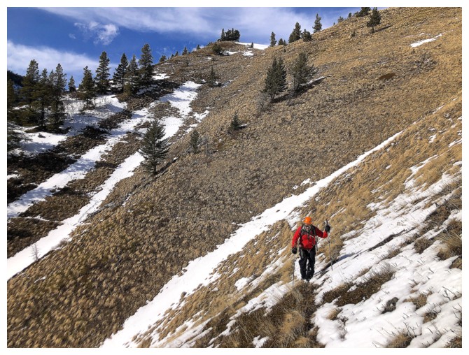
There were good animal trails side-sloping Camp Ridge throughout
On one right there
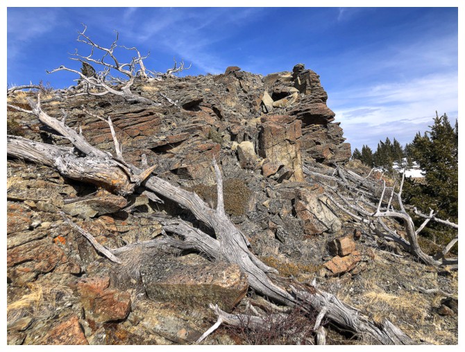
Camp Ridge is home to tons of amazing rock
Big thank you to the wildlife that made these awesome trails
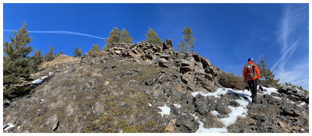
On the ridge here and approaching a beautiful rock band
Descended to the next col and then side-sloped again
Checking out the rock above would have nice but we were both very tired at this point
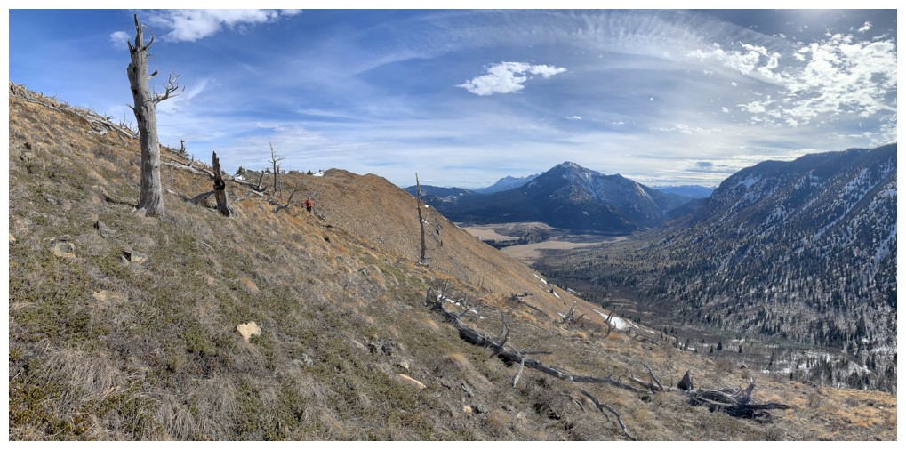
The car is at the base of Thunder Mountain's north end in the centre
An area that begged exploration, but didn't get it
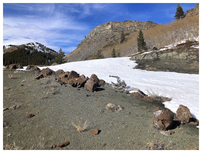
This line of interesting boulders seemed out of place
The cool rock encounters continue
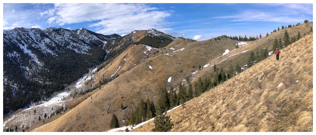
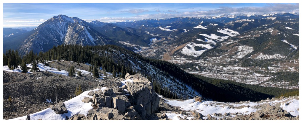
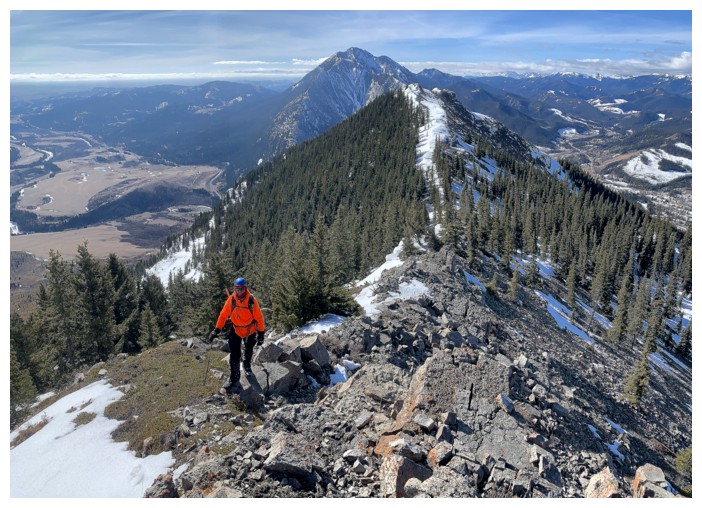
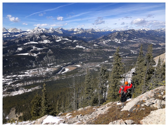
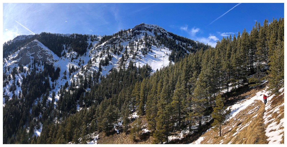
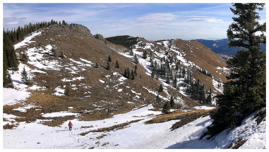
Looking back at the distance we've traveled from the lookout
And forward to the distance still to go
On the south end of the ridge, looking for a route down to the old road/trail at the lower right
Descending to the trail
On the trail, with the south end of Camp Ridge behind
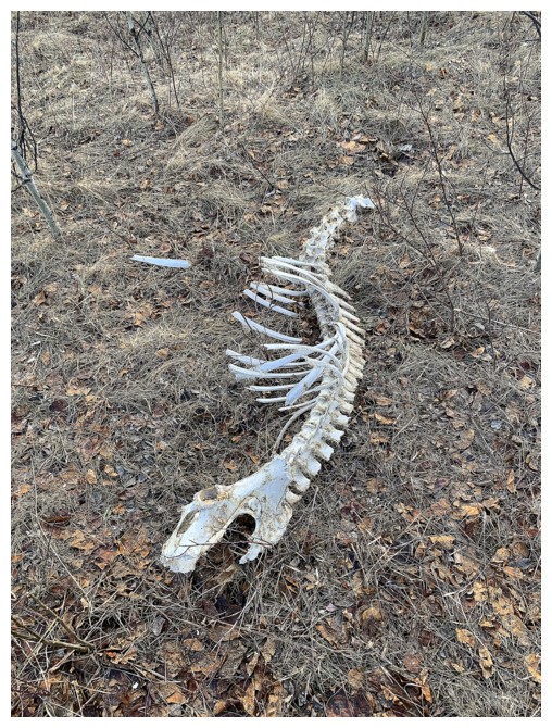
That's unfortunate
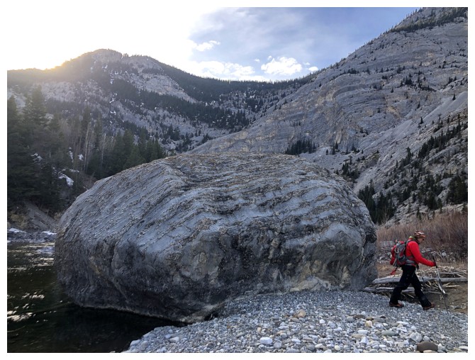
Mark passes a HUGE boulder on the shores of the Oldman River
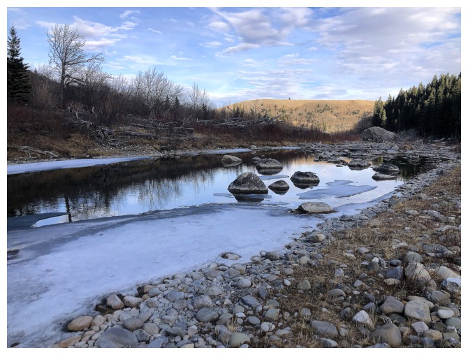
A pond that probably only exists when the water level of the river is very low
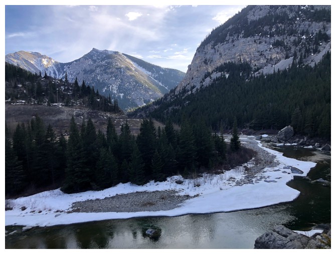
Following the river back to our hip-waders
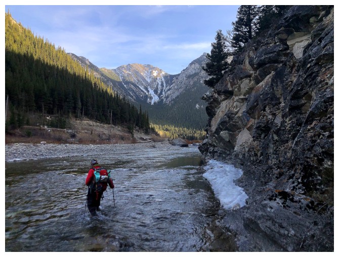
The older man going back across the Oldman
Parting look at our route up to the ridge, 10 hours after seeing it for the first time.
The End
LOG