Vista Peak
February 18, 2024
Mountain height: 2695 m
Elevation gain:
1000 m
Ascent time: 4:25
Descent time: 2:50
Snowshoeing with
Mark.
A couple of
shout-outs before the trip report: 1. To Bob Spirko, who brought this somewhat
obscure peak to the attention of the mountain community 15 years ago; 2. To the wonderful
group of snowshoers who broke a trail to the summit through deep, unsupportive,
and extremely unforgiving snow a few weeks earlier (January 30).
Unfortunately,
in my zeal to get going I didn’t notice that both 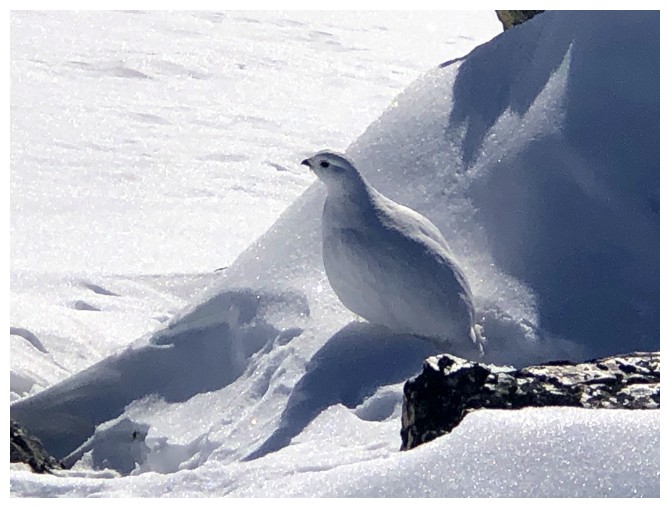 Bob and the snowshoers had
started the ascent southwest of the Continental Divide parking lot. There was a
terrific snowshoe trail leaving that parking lot and we jumped on it like a pack of hyeanas on a Twinkie (don't ask!)
instead of heading southwest first. Suddenly the snowshoe trail ended. There
was a very faint trail continuing on, but I thought it was odd for this trail
to already be filled-in with snow. We were able to follow the trail, however
it became increasingly hard to discern as we gained elevation.
Bob and the snowshoers had
started the ascent southwest of the Continental Divide parking lot. There was a
terrific snowshoe trail leaving that parking lot and we jumped on it like a pack of hyeanas on a Twinkie (don't ask!)
instead of heading southwest first. Suddenly the snowshoe trail ended. There
was a very faint trail continuing on, but I thought it was odd for this trail
to already be filled-in with snow. We were able to follow the trail, however
it became increasingly hard to discern as we gained elevation. 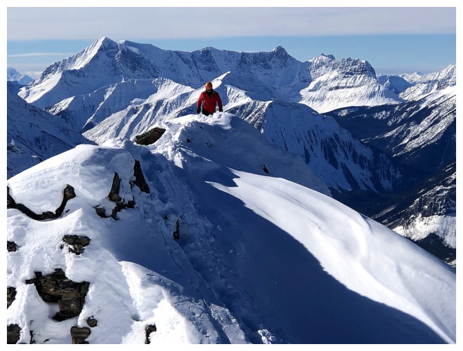 And being on a
packed down trail here was paramount! One step off the trail and we were
swimming in thigh- to waist-deep snow and getting stuck in the deadfall.
And being on a
packed down trail here was paramount! One step off the trail and we were
swimming in thigh- to waist-deep snow and getting stuck in the deadfall.
Several hours
later our eyes were opened! We encountered a snowshoe trail coming in from the
northeast and surmised we had missed a key turn-off early in the day. Several
minutes later it joined up with another trail coming in from the southwest. This
deep trench in the snow was clearly the one carved out by the January 30 group.
What a relief to finally be on that trail! The remainder of the ascent unfolded
with blissful ease. We traded snowshoes for crampons and ice axes for the final
push to the summit, though not entirely necessary.
The unofficial
name of the peak is well justified, the summit boasting stunning views in
almost all directions. Of course, the massive bulk of Storm Mountain blocks
much of the view to the south. A very cold wind ensured our summit stay was not
overly long, but what a wonderful stay it was.
The first part
of the descent was fun and very easy. We then had the decision to make
regarding which trail we would use for the remainder of the trip down. We
decided to take the one that came in from the northeast, going in the direction
of the parking lot and in retrospect it was the wrong decision. I should have noticed
immediately that this trail was made by a single snowshoer going in one
direction only – up. That person had obviously used the other trail for
descent. Unfortunately, we had lost a significant amount of elevation before my
aging brain actually processed this information – going back up to use the
other trail was not an option. Nevertheless,
the trail we followed was still a good one; somewhat steep and slick in places,
but it triumphantly led right back to the parking lot.
A fantastic
trip! I would definitely repeat this one in the summer, perhaps trying to visit the
Storm Lakes en route. For that matter, with that terrific snowshoe trail
established, another winter ascent is already appealing!
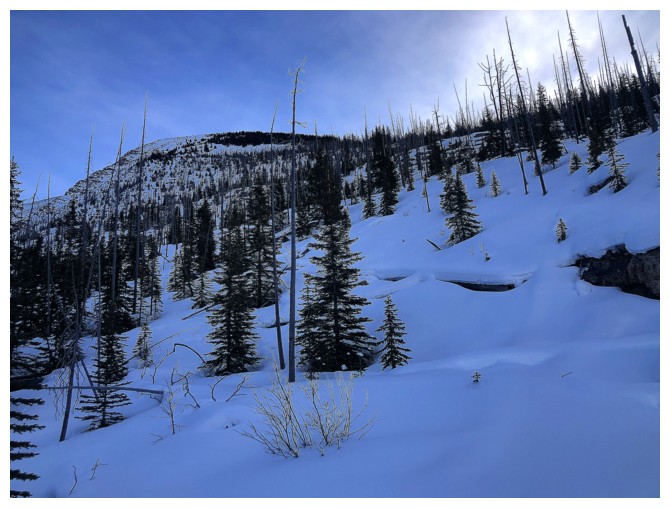
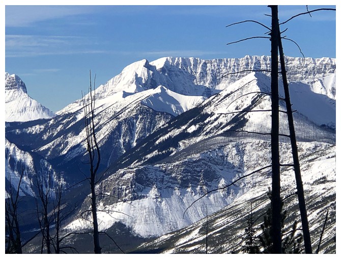
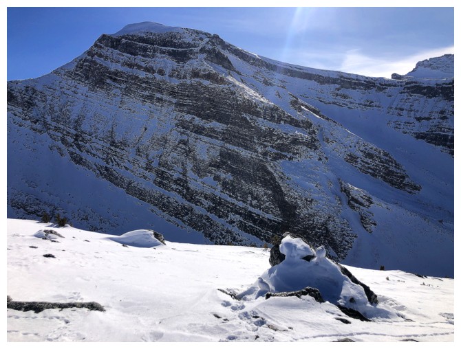
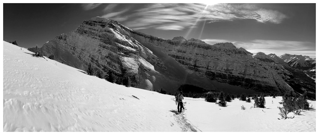
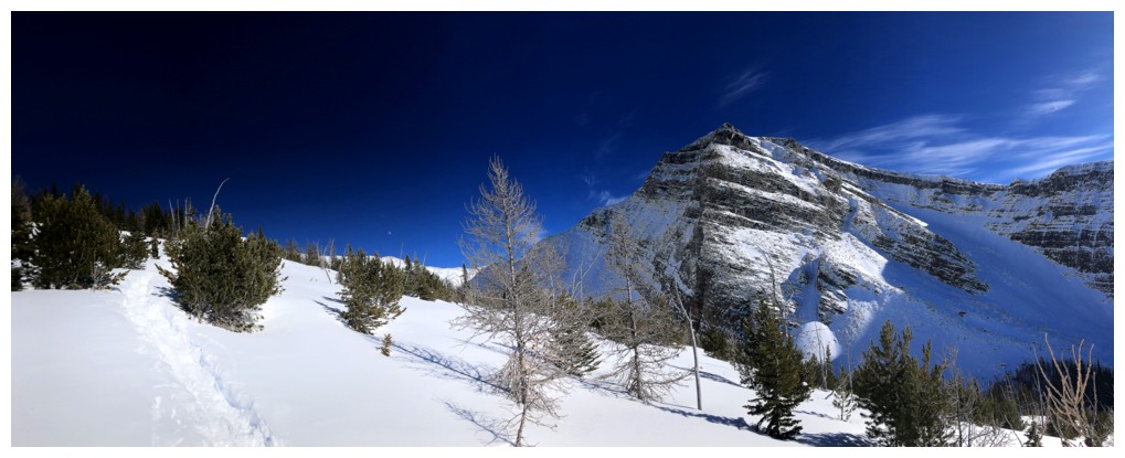
Tumbling Peak is one of the first beautiful mountains of the Kootenay area to make an appearance
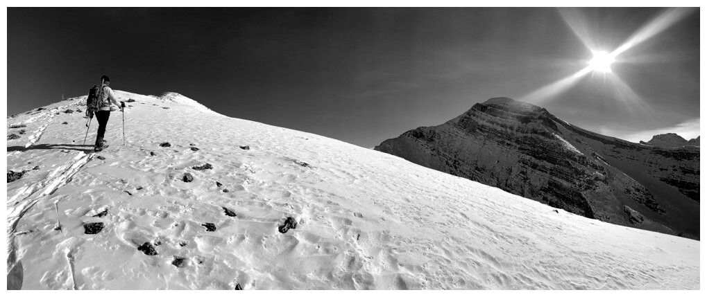
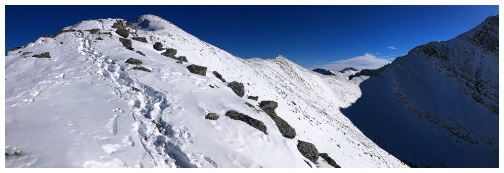
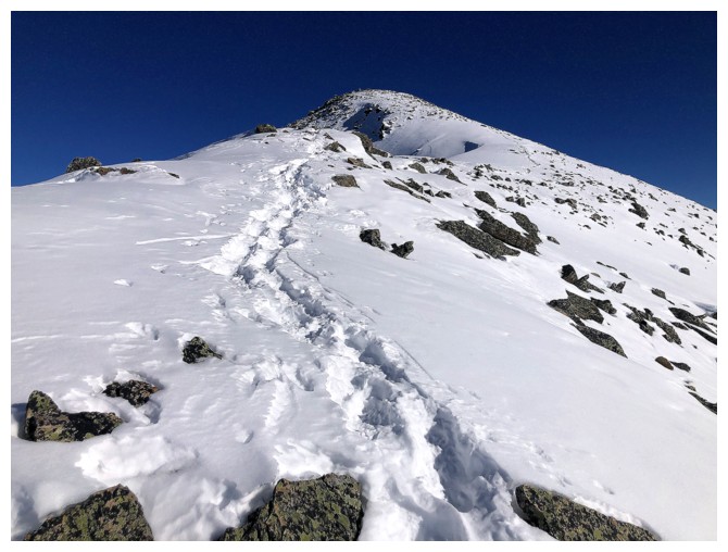
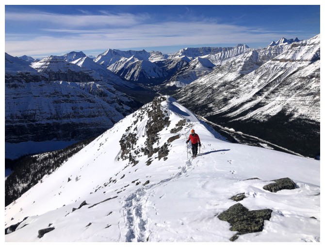
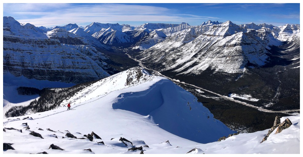
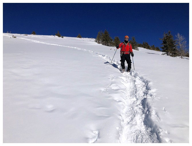
Looking up towards the false summit of Vista. Looks close but it's still a few hours of strenuous travel away.
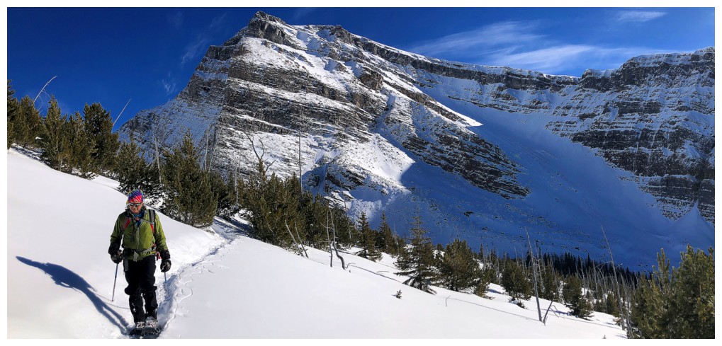
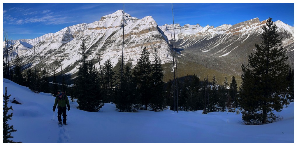
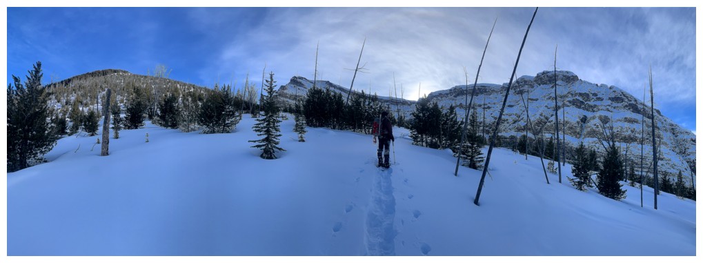
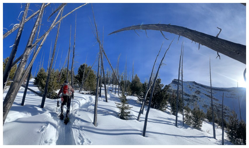
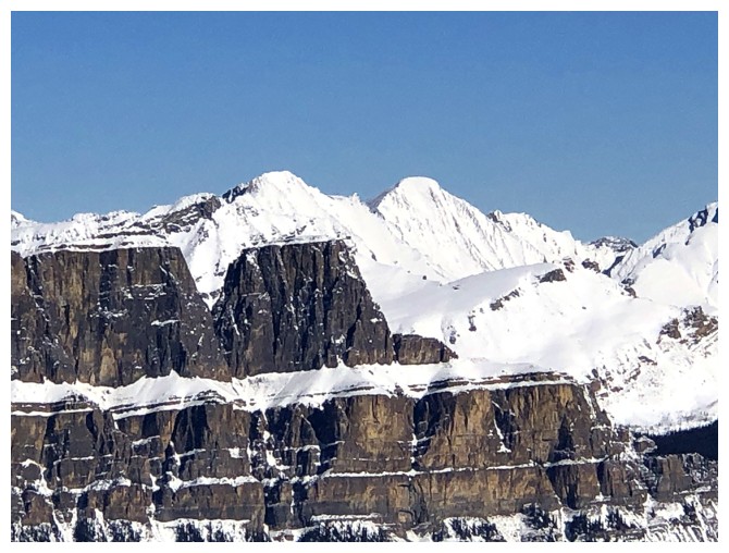
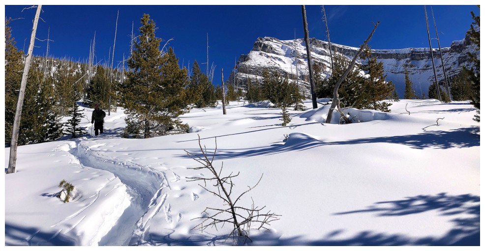
Still following the old track. Mount Whymper at the right.
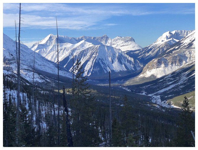
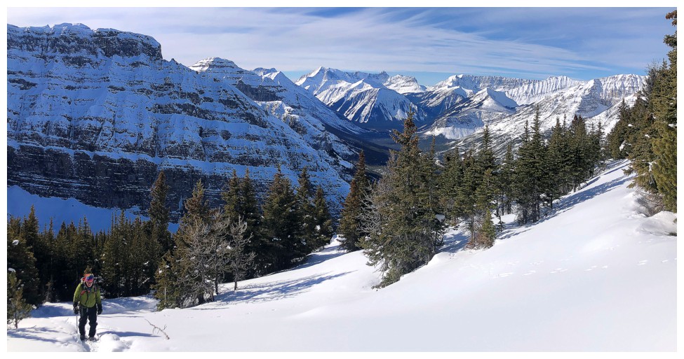
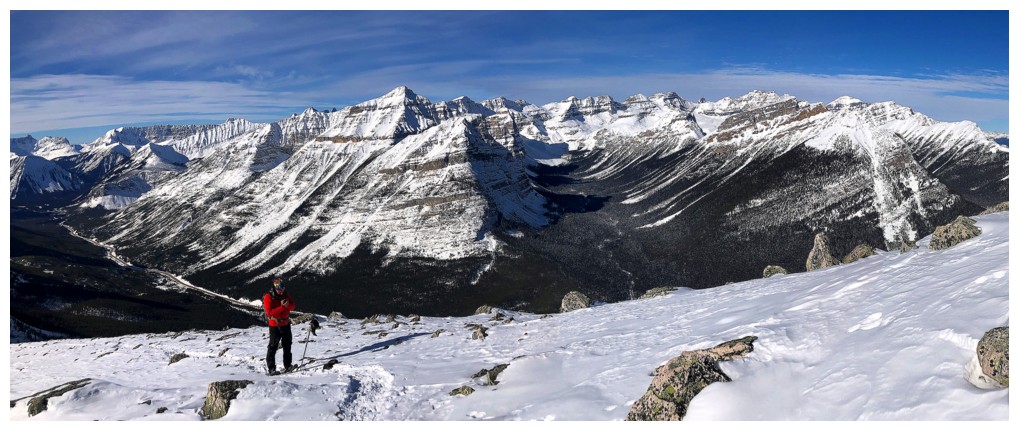
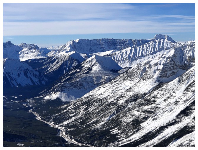
Tumbling Peak, Mount Gray, and Mount Drysdale. Tumbling Creek Peak is in there somewhere.
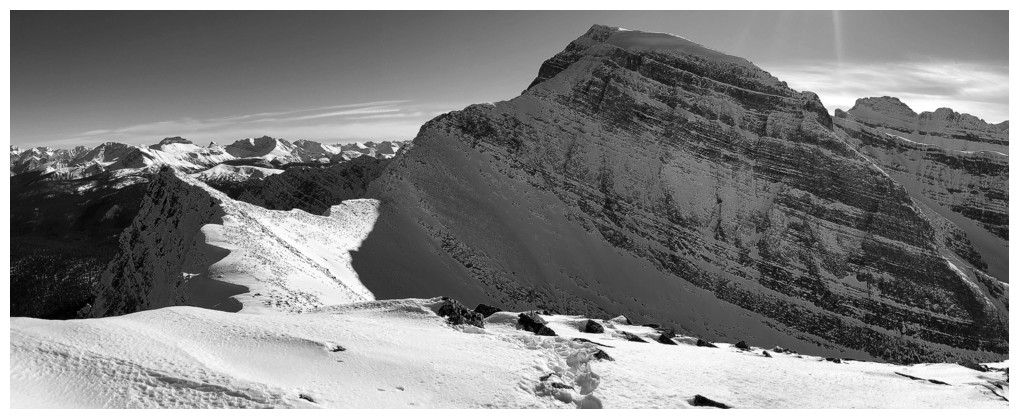
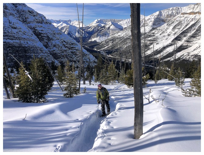
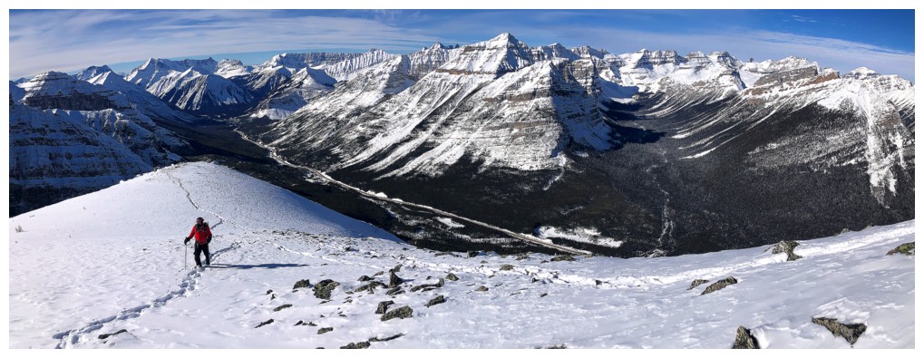
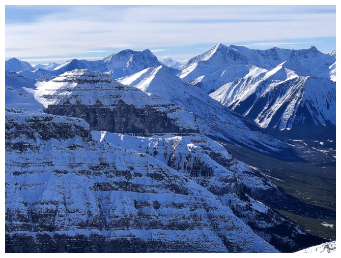
More peaks appear to the north
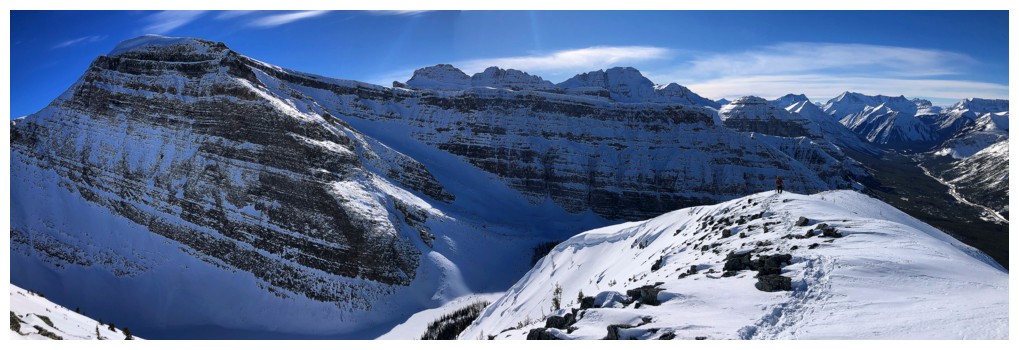
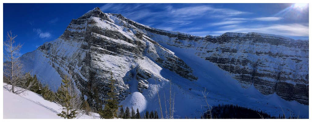
Mount Drysdale (just left of centre) and The Rockwall running right from Drysdale
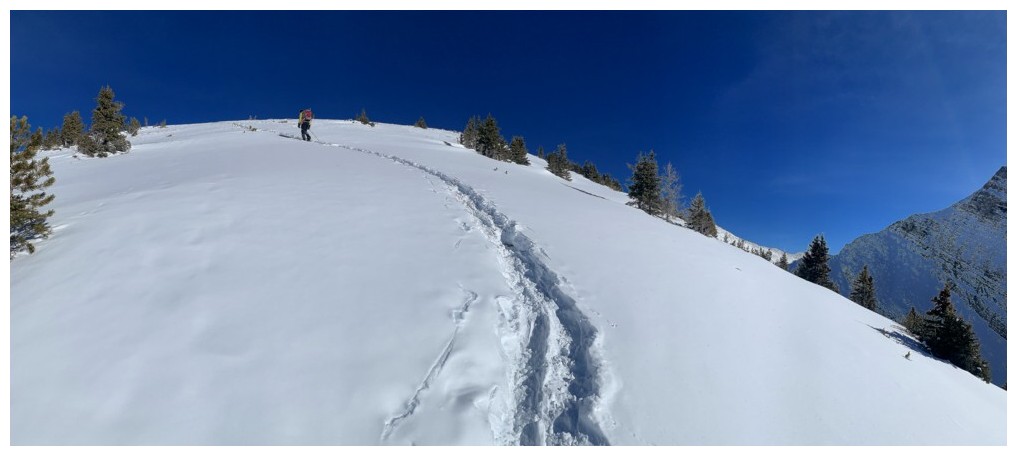
Several hours later and we still have a long way to go
Hallelujah!! Finally on the correct trail.
Note how deep the trench is. Must have been an epic effort by the January 30 group.
That tree at the right looks dangerous or maybe is just pointing the way!
Yep, we are going the right way
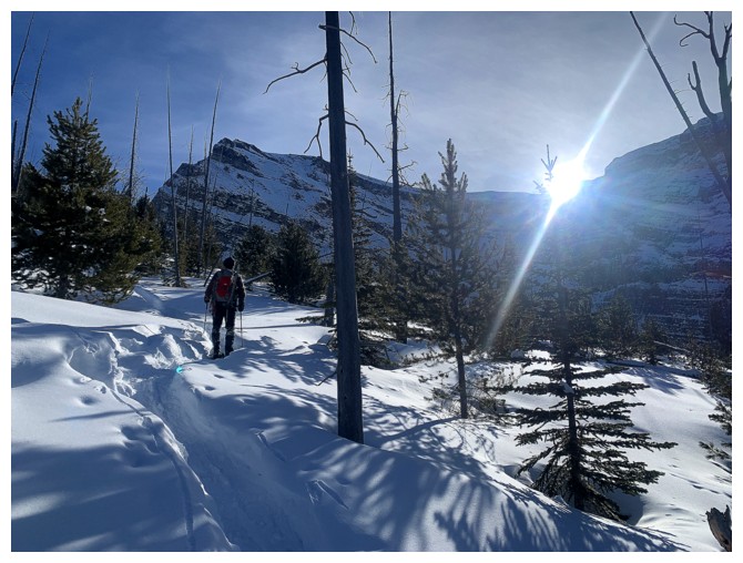
Finally breaking treeline
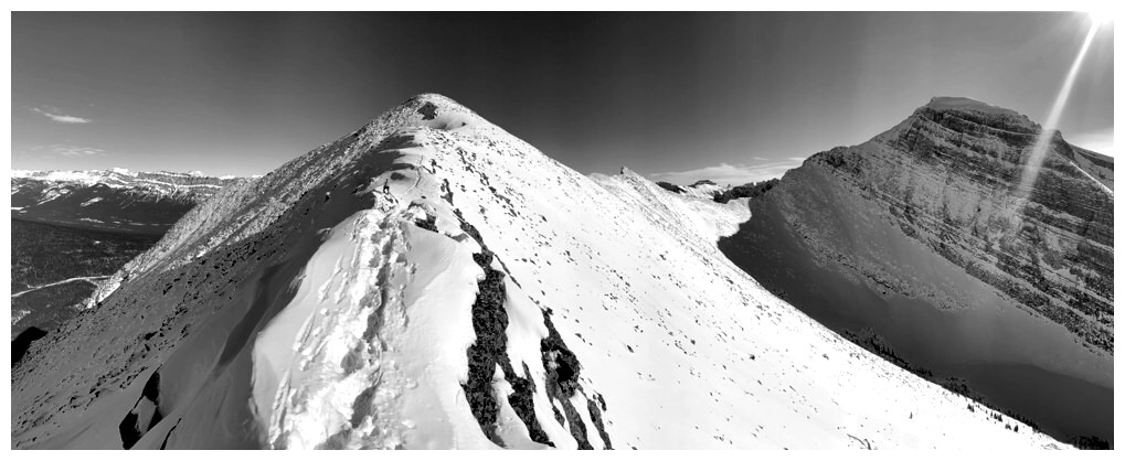
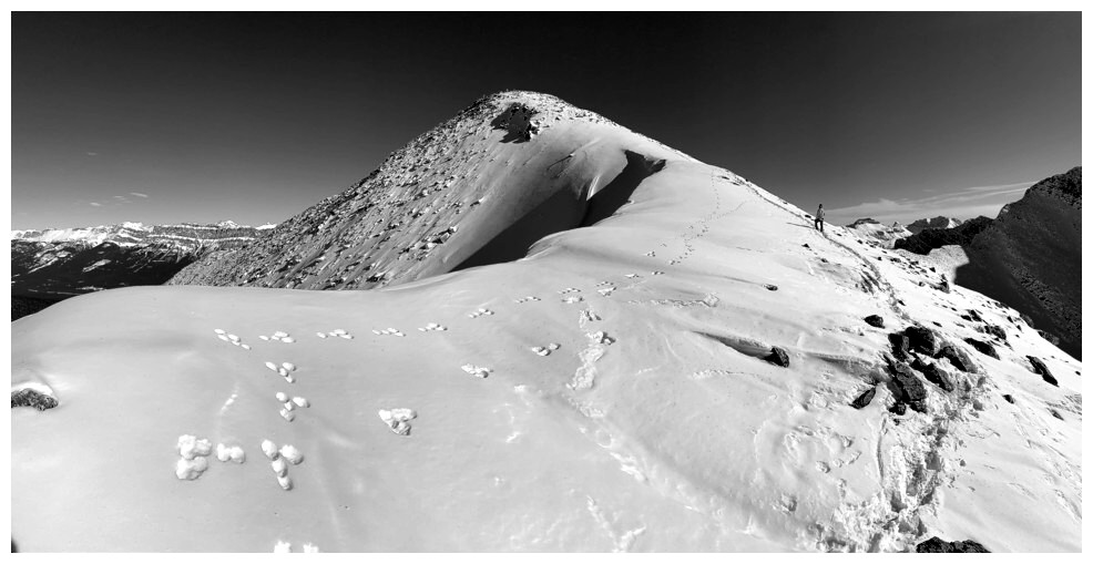
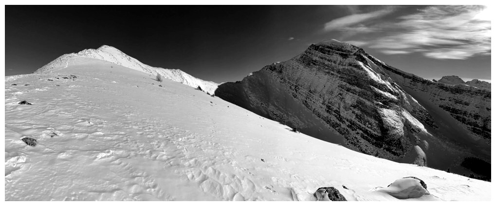
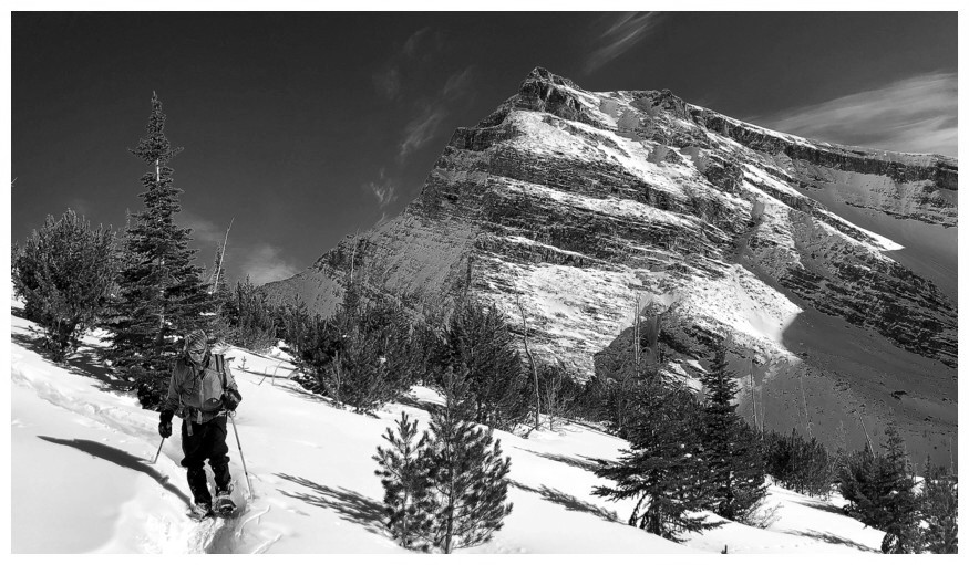
My brother inspired me to throw more black and white photos into the mix
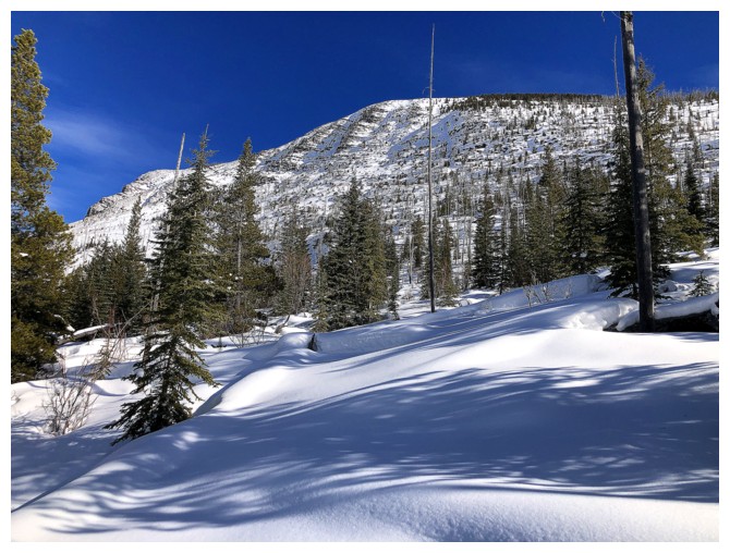
Colour is good too
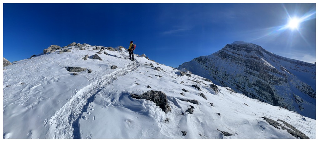
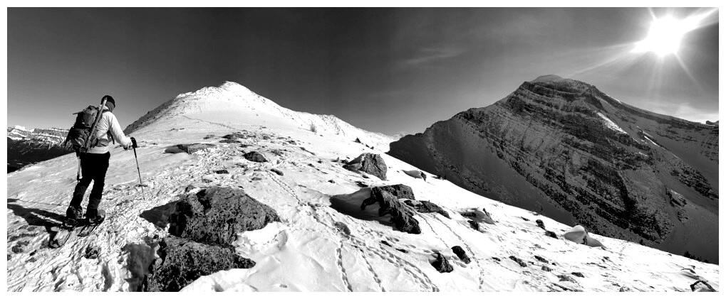
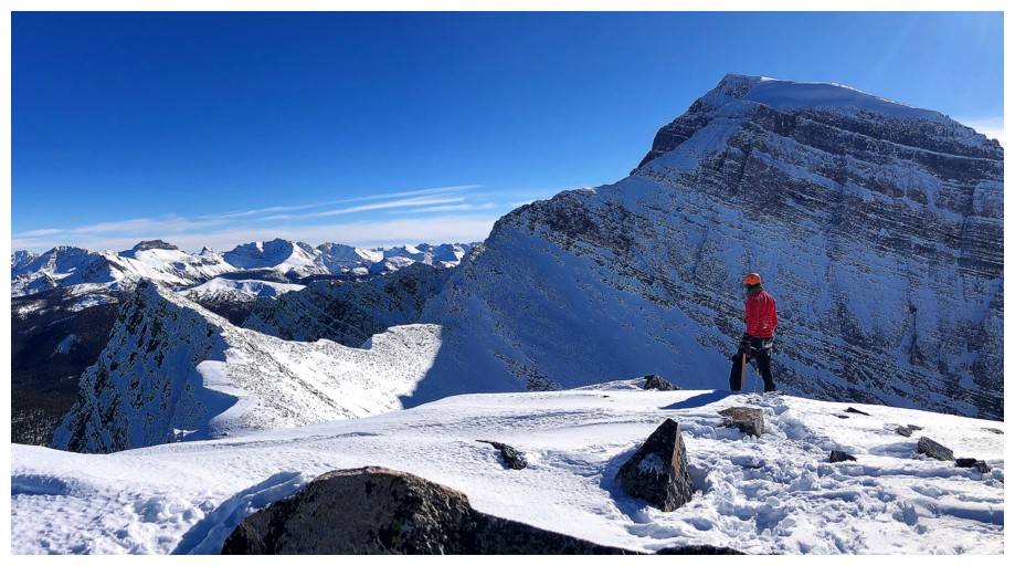
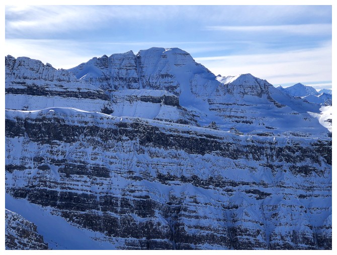
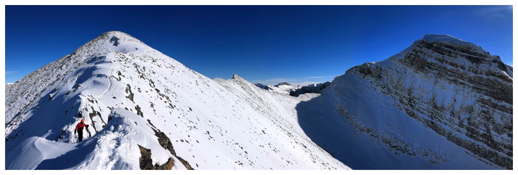
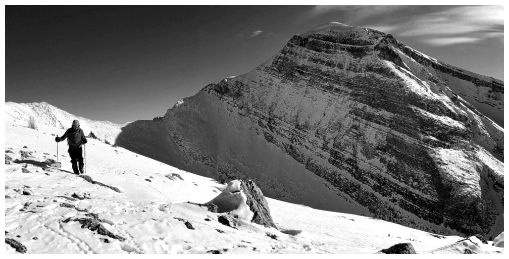
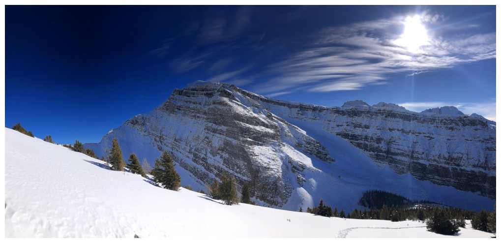
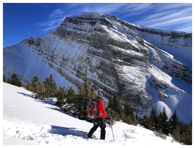
Nearing the first false summit. Storm Mountain at the right.
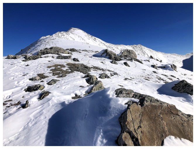
View to the summit
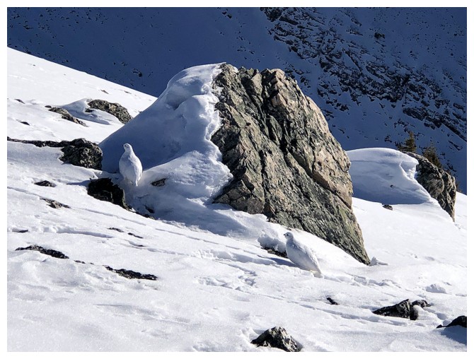
A minor summit east of Vista, but that wasn't what I was photographing here
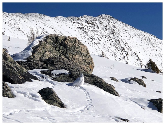
Two ptarmigans wearing their recently laundered whites!
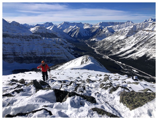
Still a bit of elevation and distance to cover to the summit
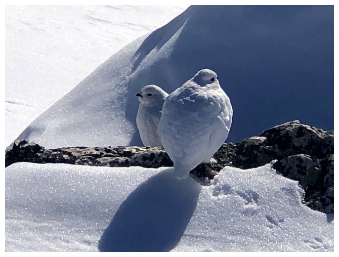
Close-up of the pair
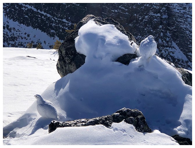
Not so close
Good camouflage - they are still standing there
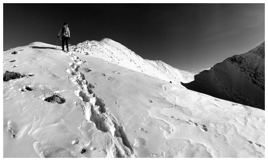
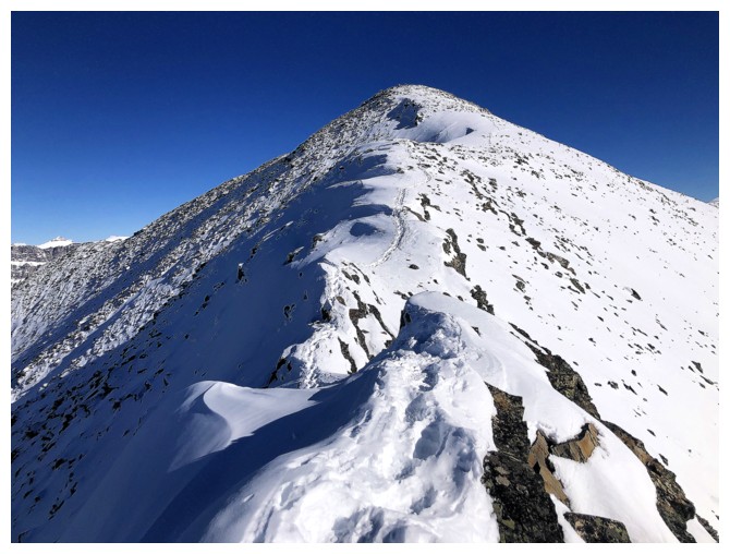
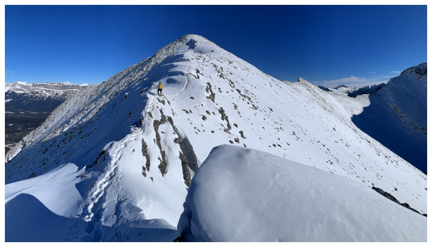
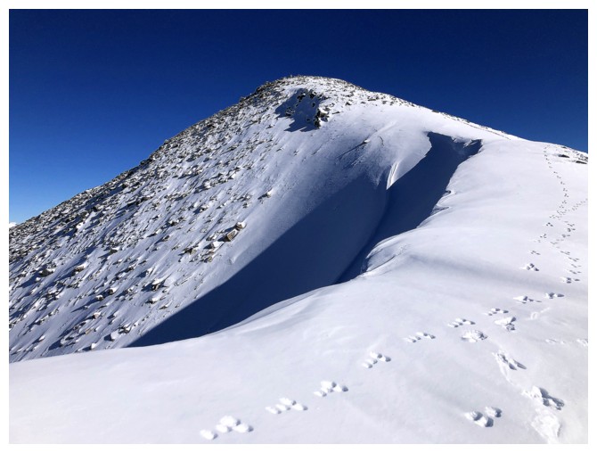
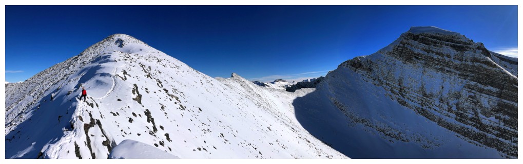
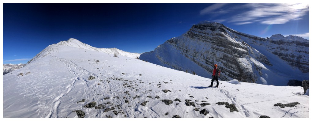
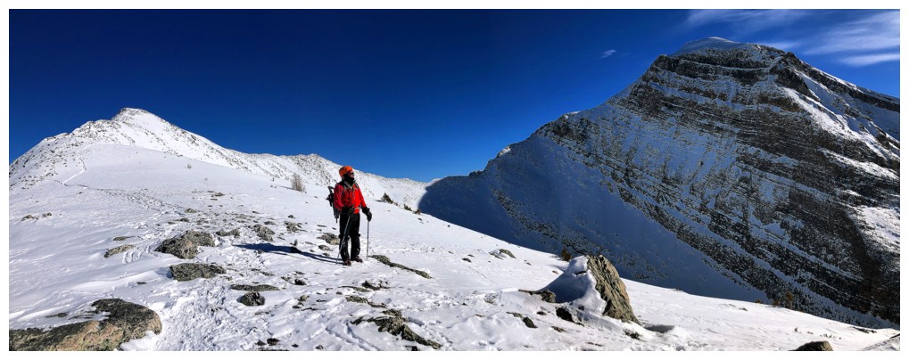
Heading for the next false summit
The view behind is stellar from here on in
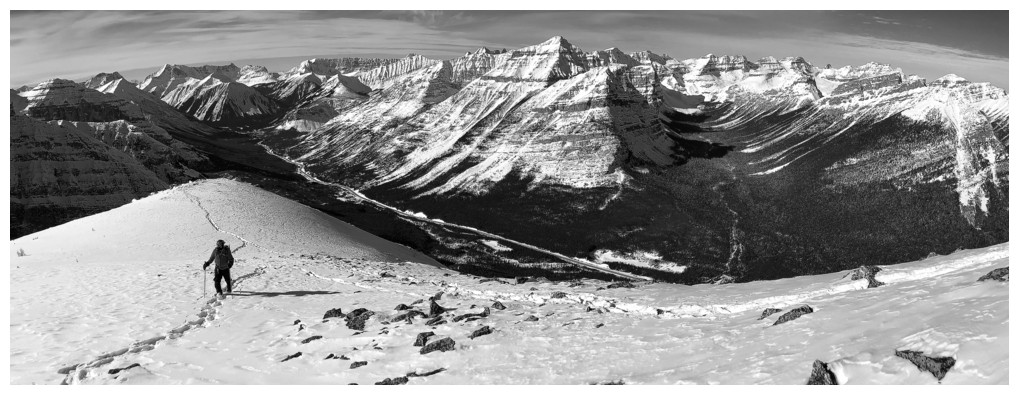
Now I'm getting carried away with the black and white photos

Reeling myself in!
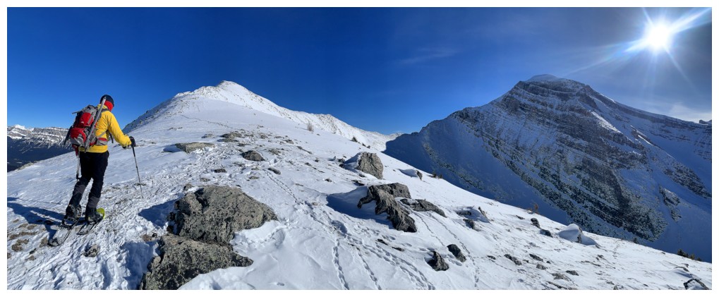
Travel from here to the summit may look easy but there's a hiccup along the way
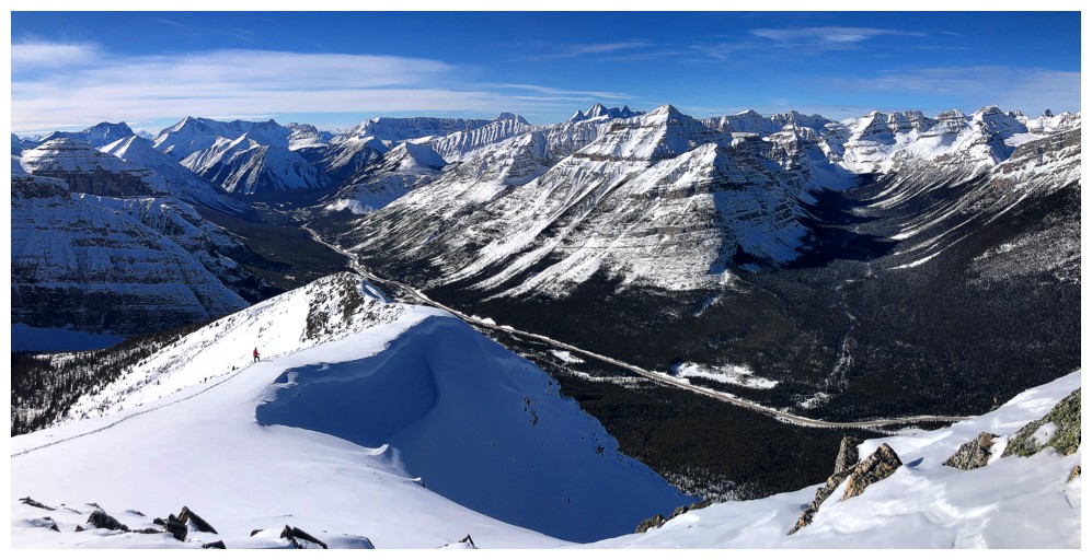
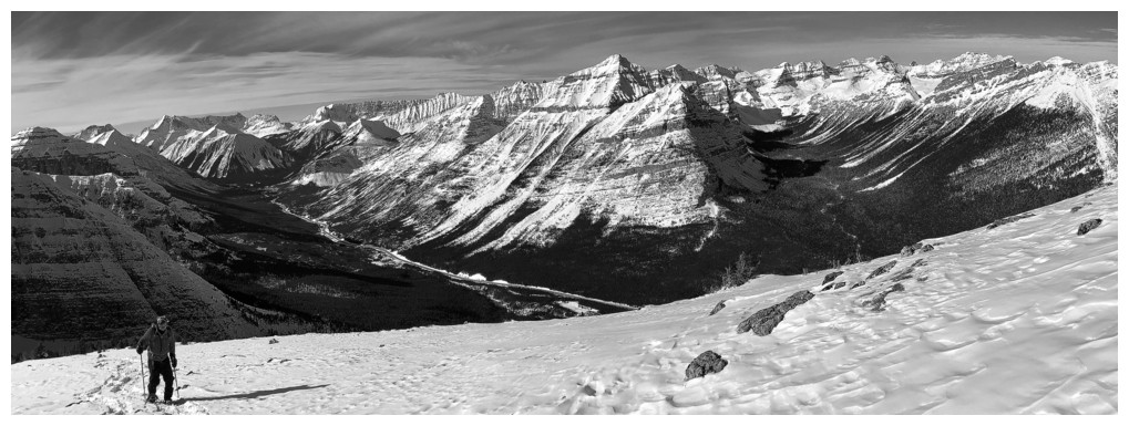
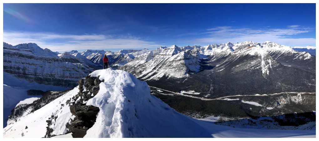
Bigger picture
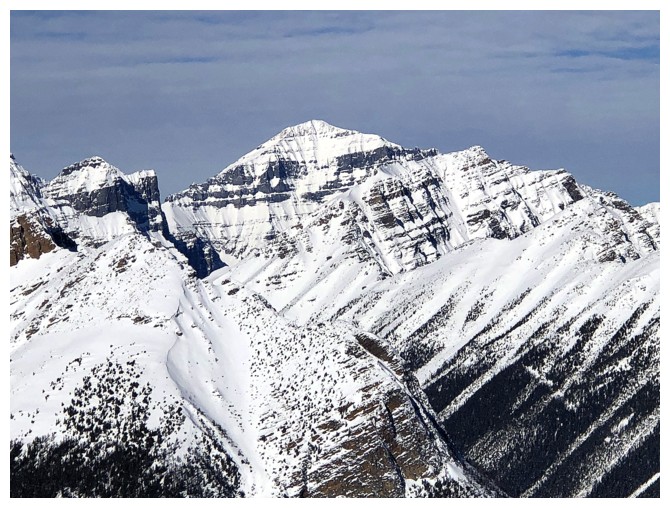
Mount Temple
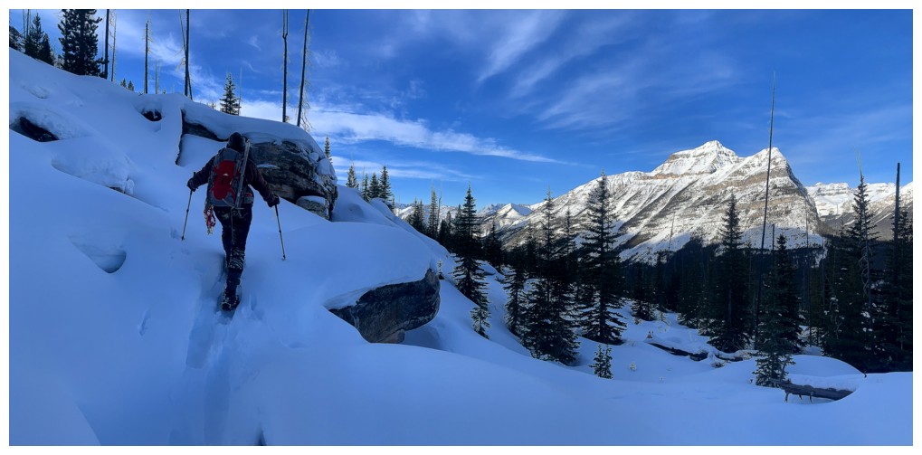
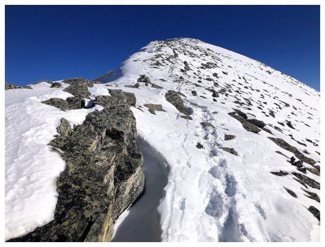
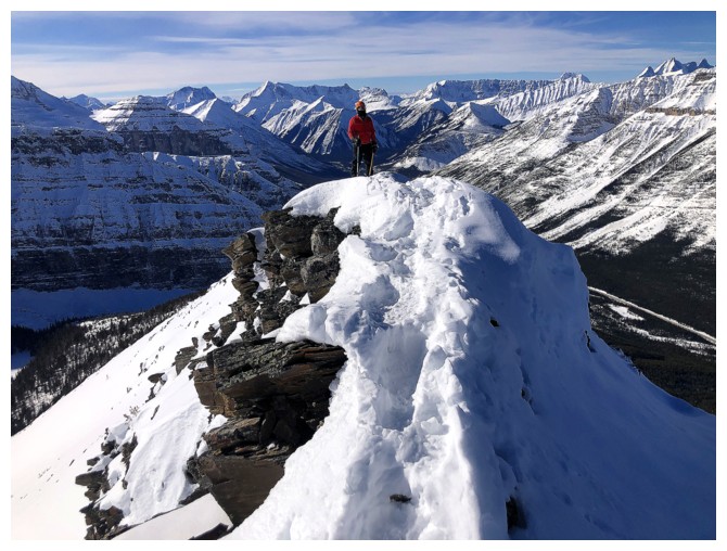
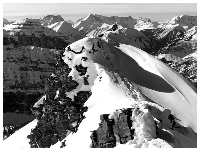
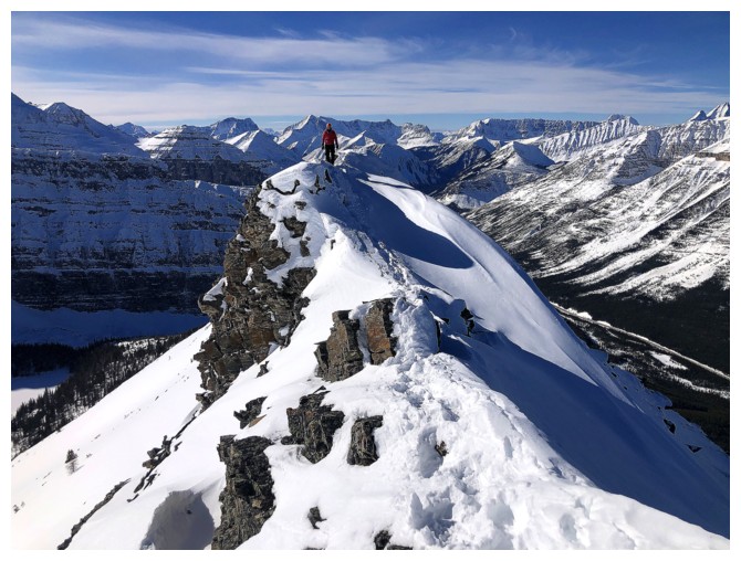
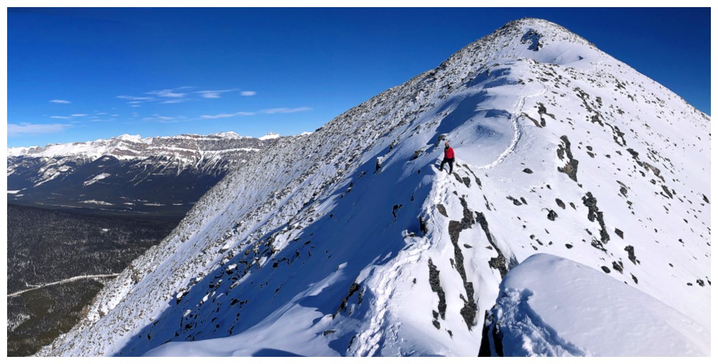
Here's the hiccup. The ridge narrows ahead and is quite exposed on the right
side. Thankfully the previous groups had made a nice pathway in the
snow to follow. Still, we opted for crampons and ice axes here.
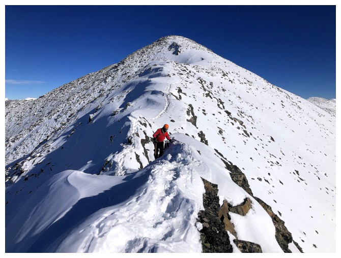
Mark approaches the narrow section
Same as above
Mark's view of me
A few tricky steps along the way
Same as above
Past the narrow part - just a few steps from easier terrain
Mark's view of me again
Nice, easy hike to the top
The curve of the ridge and the snow on the north side made for some very pleasant scenery here
Same as above
From above
Mark takes the final few steps to the top
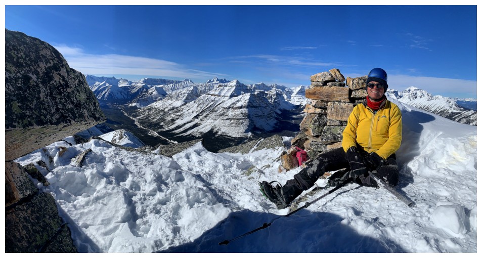
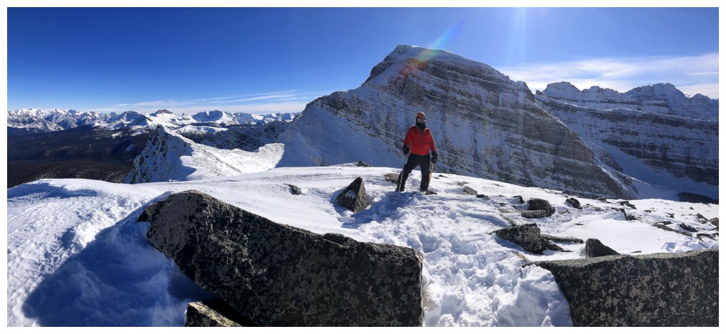
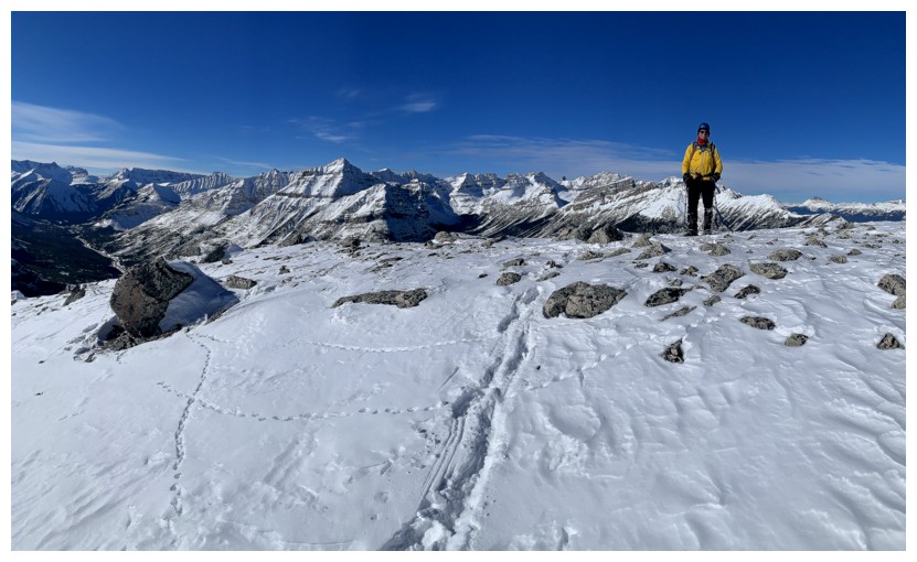
Summit
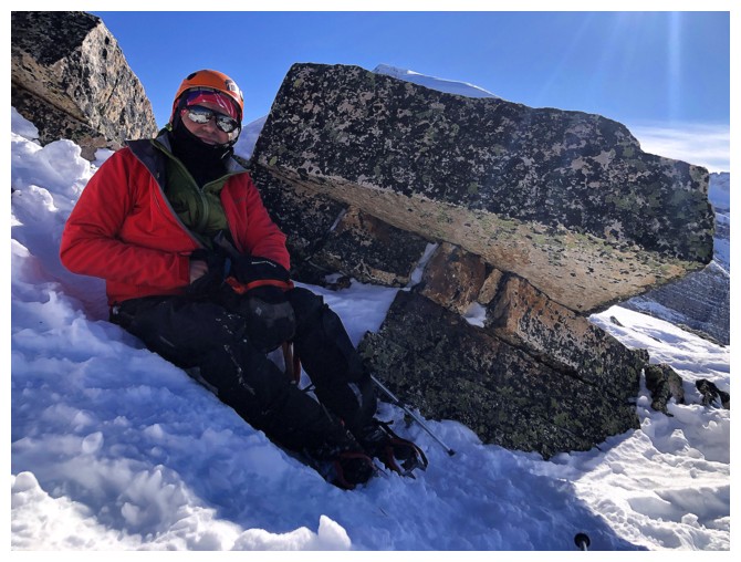
Mark takes shelter behind a few quartzite boulders. It was very cold at the summit.
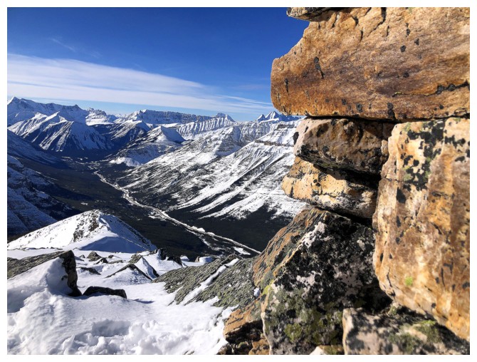
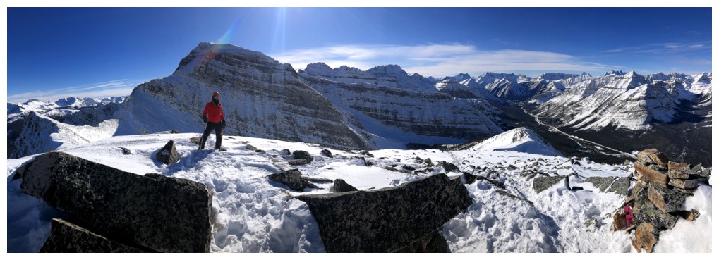
The cairn and the view
View to the southeast and south
South, southwest, and west
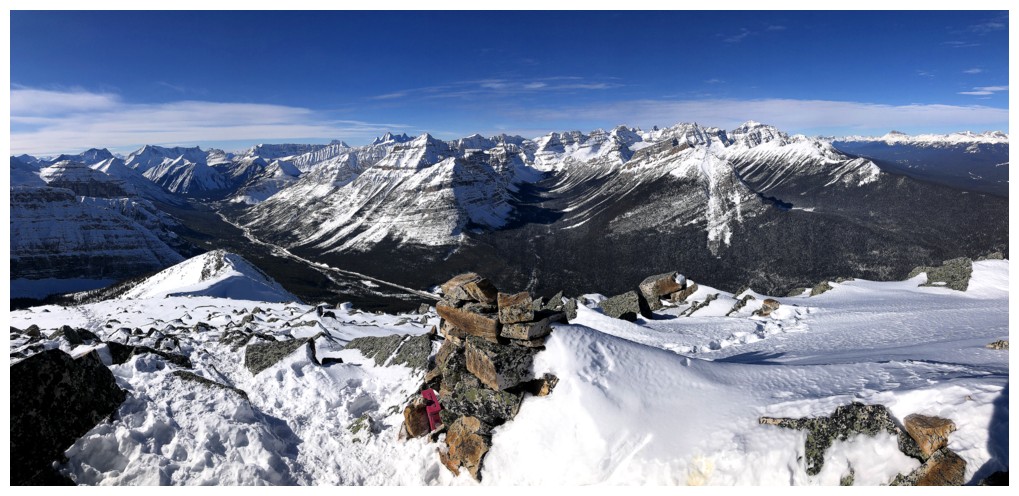
West, northwest, and north
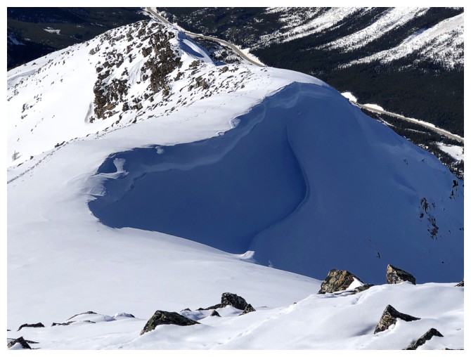
Back to that cool view of Storm
The super flat Rockwell to the west is very eye-catching
As are many others peaks to the west
Stanley Peak
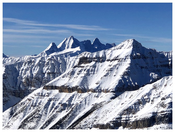
The striking Goodsirs
Chimney N1 is front of Deltaform at the left, and Hungabee is just right of centre
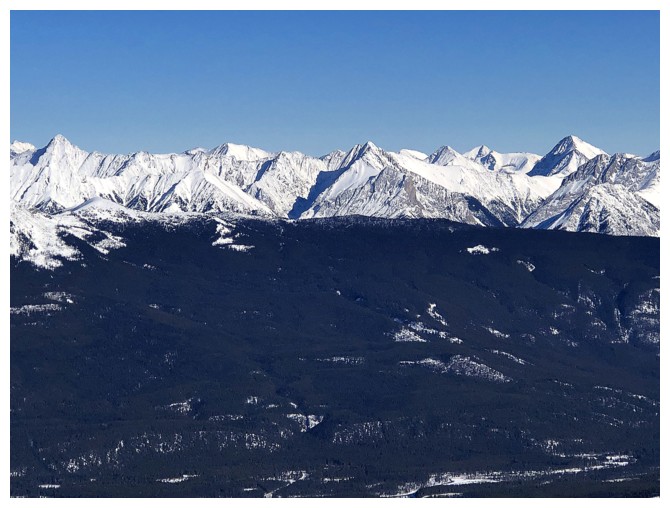
Lots of cool, unnamed peaks to the east
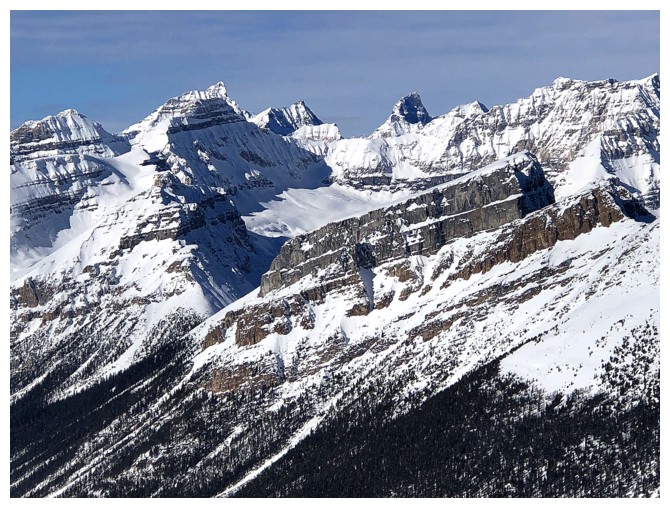
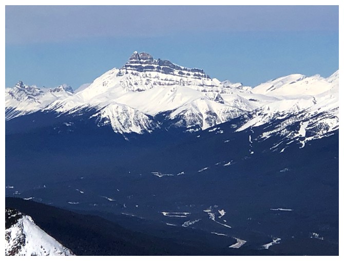
Block Mountain and Noetic Peak perhaps? Eisenhower Tower in the foreground.
Mount Hector
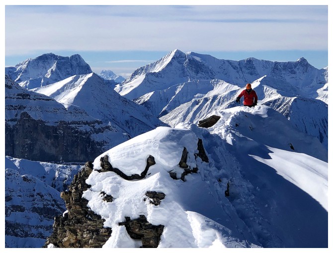
Returning over that cool curve
Returning over the crux
Same as above
I really liked this section!
Yes I did!
Returning to the false summit
Looking back at some of the route
Same, without Mark and colour
At the false summit
Leaving
Maybe not!
Definitely leaving
The cloud here was super cool
A mercifully easy descent until we chose the wrong track to follow down
Views of Storm were amazing throughout
Yes they were!
The deep blue sky further added to the scenery
One more B&W for good measure
That beautiful, deep trench again
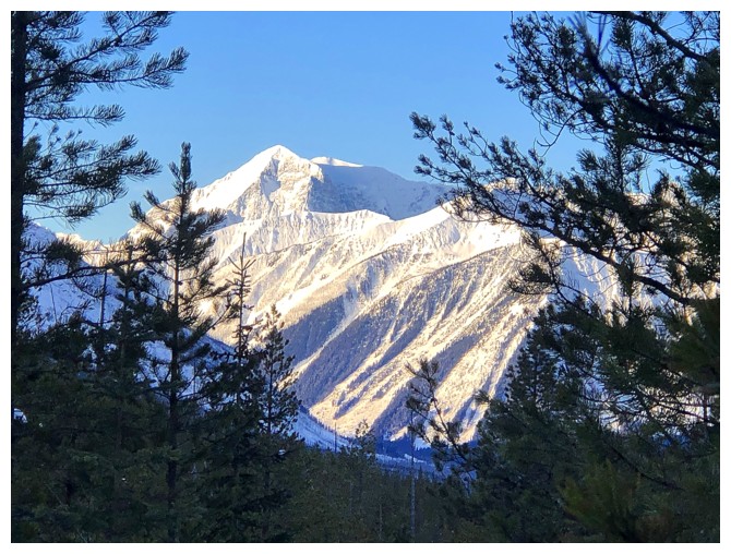
Looking back at the objective from low down on the mountain
The End
LOG