Mountain height:
approx. 2360 m
Elevation gain:
approx.
1400 m
Ascent time:
4:05
Descent time:
3:00
Solo scramble.
Last year I attempted to ascend the east ridge of Wendell
Mountain (not be to confused with the East Peak of Wendell Mountain, which I
ended up ascending 3 times in 2006). The
After ascending the east shoulder of
Following an obvious drainage, I soon reached the west side of the mountain and started up the scree slopes. The slabby rock scenery on the west side was terrific. Unfortunately it was too cold for me to tackle any of the slabs and, in any case, I would have liked to have company just in case any difficulties were encountered. Route-finding up the west side was fun. There were several different routes to the ridge, but once again, I decided to take the easy scree slopes, as opposed to the more challenging slab terrain.
Once on the ridge, the remainder of the ascent was fast,
easy, and enjoyable. I bypassed a couple of daunting-looking pinnacles and then
continued easily to the summit. The panorama was a very respectable one, under
relatively clear skies. I continued along the summit ridge to check out the
On descent I decided to explore more of the west ridge, finding a route over the aforementioned pinnacles in the process. When time became a concern, I descended the same way I came. Gaining the 200 metres back to the Yamnuska shoulder was excruciating, having already completed about 1200 m of elevation gain. Overall, a very pleasant and stress-free route to the summit of an infrequently ascended mountain.

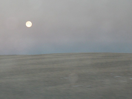
A full moon over the prairies
The CMC Wall
The pinnacles (lower left) silhouetted against the CMC Wall
Same as above from a different angle
More of the impressive Wall
Taking the good
scree trail below the Wall; eventually I dropped down into the valley at the far
lower left;
The west side of Wendell Mountain is just visible
at the far right
Wendell Mountain
The west side of Wendell Mountain
Beautifully clear skies and beautiful slabby terrain alongside the ascent slope
A closer look at the slabby terrain
Other potential routes to the ridge; I ended up going around to the left
Almost at the ridge with the two pinnacles ahead
On the ridge looking at the summit (centre) and the first pinnacle
Looking back at the west ridge and a higher unnamed peak, just before the summit
The summit view to the southwest
A closer look;
visible peaks include:
Big Sister, Old Goat, Nestor,
Rimwall, The Windtower,
Lougheed, and Wind
Lots of unnamed stuff to the northwest
Looking down the
east ridge of Wendell Mountain,
with the East Peak of Wendell
Mountain to the right
Heading back to the summit
Same as above
Same as above
A last look to the west
Looking back at
the pinnacles on the ridge;
both are easily scrambled over (with a touch of exposure)