(via "Thin Man's Pleasure")
 August
1,
2009
August
1,
2009
Mountain height:
2841
m
Elevation gain:
1300
m
Ascent time:
8:45
Descent time:
6:15
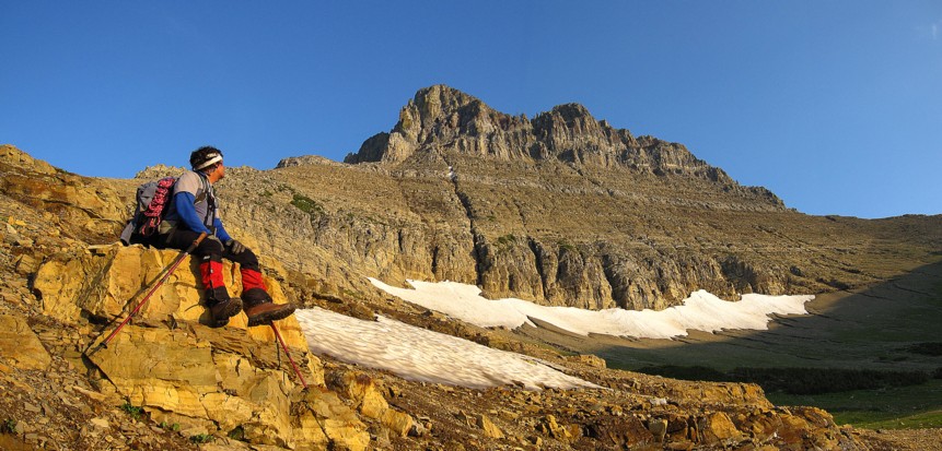
Climbing with Mark.
This route is aptly named. Drenched
in two kegs of Moosehead
beer, I barely tip the scales at 150 pounds and I still had to suck in
my gut
to squeeze through the hole on the “Thin Man’s
Pleasure” route up
We first saw the strikingly beautiful
form of  Wilbur immediately
moved near
the top of our “to-do” list. Of concern, however,
were the multiple warnings and
some uncertainty in Gordon Edward’s description in A Climber’s Guide to Glacier National Park.
Gordon states that the
climbing is 5th class. Given the tremendous
range of climbing
levels that exist between 5.0 and 5.10, I wanted to get more specific
information. Fred Spicker, an expert on mountains in
Wilbur immediately
moved near
the top of our “to-do” list. Of concern, however,
were the multiple warnings and
some uncertainty in Gordon Edward’s description in A Climber’s Guide to Glacier National Park.
Gordon states that the
climbing is 5th class. Given the tremendous
range of climbing
levels that exist between 5.0 and 5.10, I wanted to get more specific
information. Fred Spicker, an expert on mountains in
Also of concern was the warning to
hit the trail by 6 am
because of the lengthy ascent and descent. Mark and I are pretty slow
technical
climbers so we left the car at 4:10 am. After hiking right past the
turn-off
point at
From the great basin, the start of the route looked very close, but as Edwards says, it’s a good hour of scree and rubble to the ascent gully. And it was! However, the views of the impressive face provided enough entertainment along the way. Finally in the ascent gully, we put on rock shoes and took out the rope. That was probably overkill, but we would soon need them and I’d rather take the gear out too early than too late.
Half way up the gully, Edwards describes the hard, igneous rock (diorite) common to many mountains in the area (and Waterton), comparing it to climbing granite. This rock was truly amazing – solid, with huge holds, and beautiful to look at – everything you want in climbing rock. Thirty seconds of climbing the diorite and we could only think, “Why couldn’t the whole mountain be made of this stuff?” Hence the famous American expression, “Give me diorite, or give me death!”
 Although the rock quality
deteriorated after the diorite,
the terrain was ledgey throughout and therefore fun to ascend. We
finally
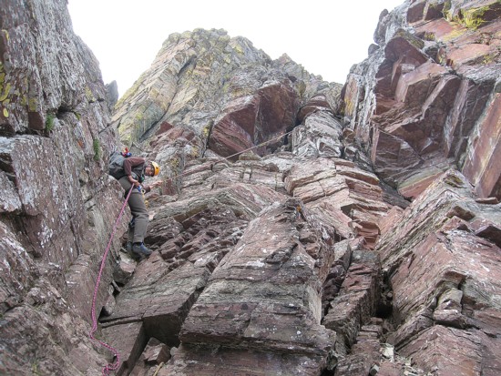
reached the start of “Thin Man’s
Pleasure”. The highlight of this route is
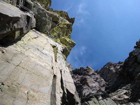
climbing a steep wall of red argillite and then passing through a small
hole,
made by a chockstone, at the top of the argillite. The route is very
similar to
the final few metres of Grillmair
Chimney
on
Although the rock quality
deteriorated after the diorite,
the terrain was ledgey throughout and therefore fun to ascend. We
finally
reached the start of “Thin Man’s
Pleasure”. The highlight of this route is
climbing a steep wall of red argillite and then passing through a small
hole,
made by a chockstone, at the top of the argillite. The route is very
similar to
the final few metres of Grillmair
Chimney
on
Climbing up to the hole was steep, but with good holds; squeezing through that hole an exercise in human contortion (easy for those with Cirque du Soleil experience). It took me several minutes to get through. Mark then climbed up, passed the packs through (a trial in itself) and then squirmed his way up into the open gully. The whole process, though time-consuming, was very unique and heaps of fun.
Above the hole, climbing the next
gully was easier, but
fairly steep and exposed in a couple of sections. 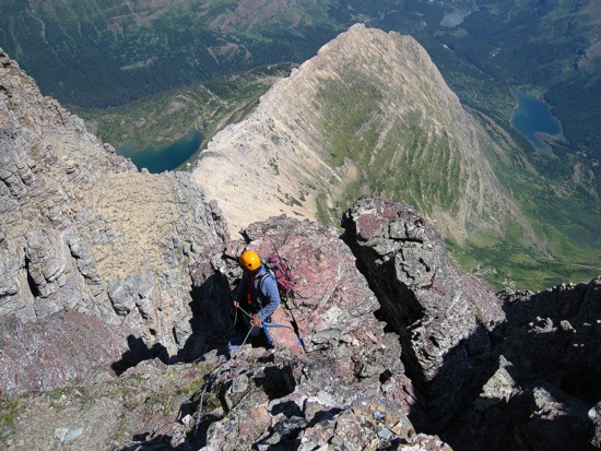 The crux of the trip
came at
the top of the gully. Here, you have to traverse a narrow ledge that
peters out
to almost nothingness, to gain the top of the parallel running "
The crux of the trip
came at
the top of the gully. Here, you have to traverse a narrow ledge that
peters out
to almost nothingness, to gain the top of the parallel running "
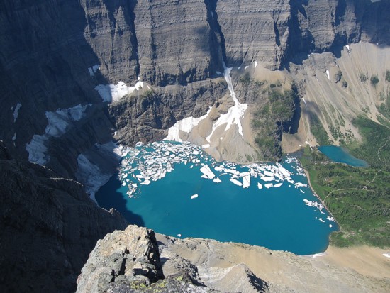
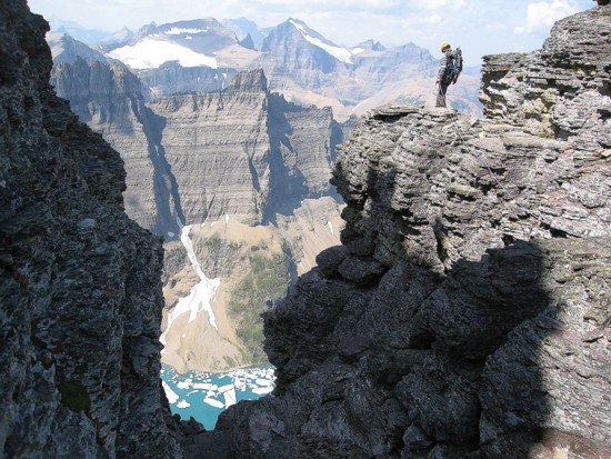
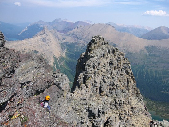
The next section involved walking around a large section of the mountain on a wide ledge. Towering pinnacles of vertical rock made this one of the most visually interesting parts of the trip. The end of the ledge rewarded us with our first look at the milky-blue, icy waters of Iceberg Lake - also appropriately named, given the huge chunks of ice floating on the lake, even in the late month of August. The remainder of the ascent was much easier than what had preceded it.
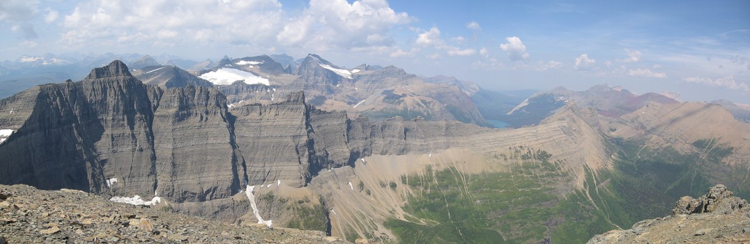
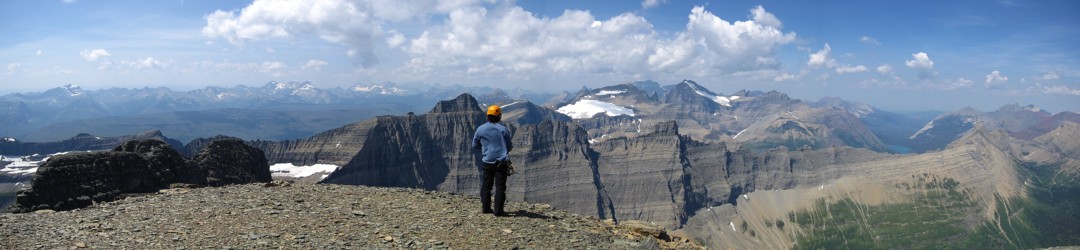
The only real disappointment of the
day was to arrive at the
summit to skies that were almost cloud-free, but not haze-free. This
marred
what would have been a remarkable summit panorama. At least the views
down to
Our descent was slow, but straightforward. We rapped a few sections and down-climbed the rest. Getting back down through the hole took as much time as ascending the same section. Were we to repeat the ascent (and this mountain definitely is worthy of a repeat ascent), we would rappel to the descender’s left of the hole, thus avoiding having to pass the packs through and the awkwardness of climbing down though the hole. Below the hole, the remainder of the descent was pretty easy.
One of our most interesting and
enjoyable trips ever.
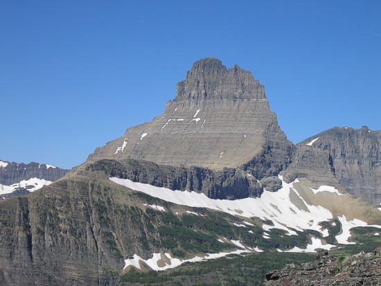
Mount Wilbur, as seen from the ascent slopes of Mount Henkel in July of 2008
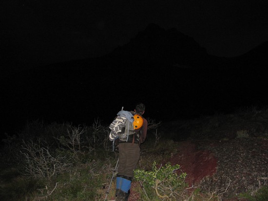
Mount Wilbur as seen at 5 am on August 1 of 2009; the outline of the peak is just visible
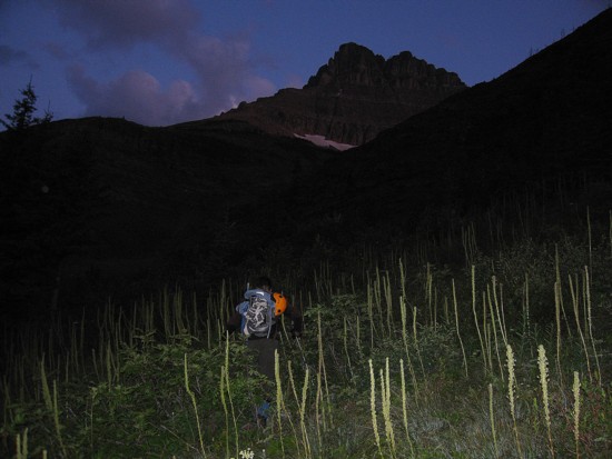
Improving visibility
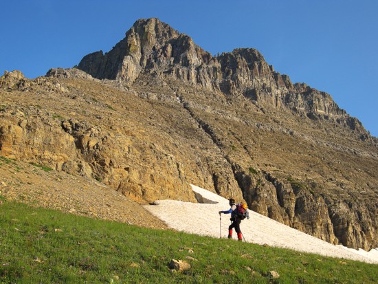
The lower slopes of Wilbur, with Grinnell Mountain behind;
right before this photo was taken we accidentally spooked a bear about 100 metres away;
he/she belted down the mountain at Mach 6
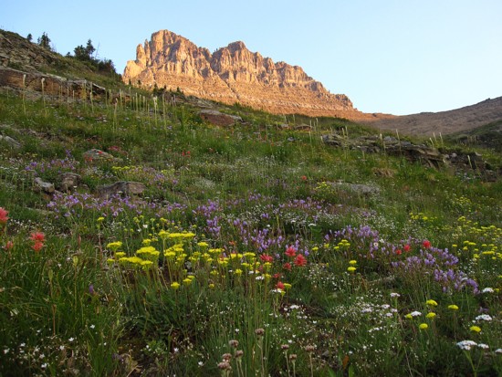
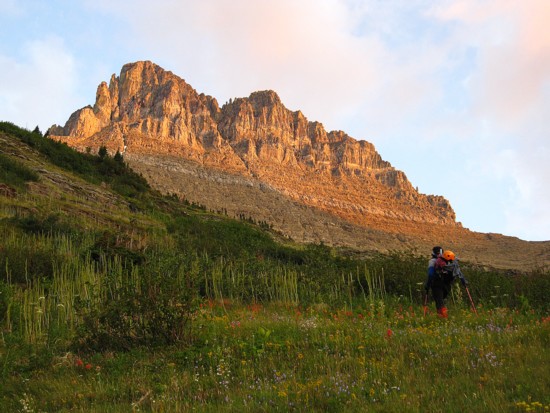
Wilbur and flowers
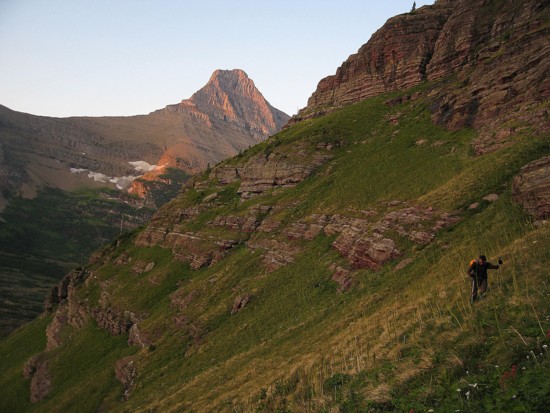
The sun lights up the east face of Wilbur
Same as above
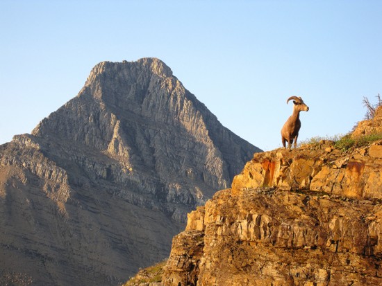
It's almost NFL time!
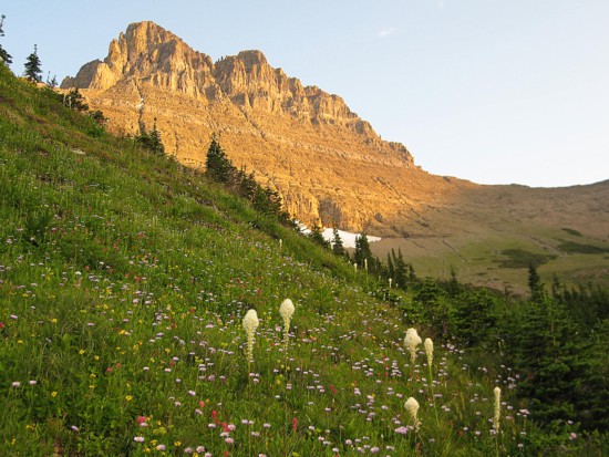
More of Wilbur in early morning light
Same as above
Same as above
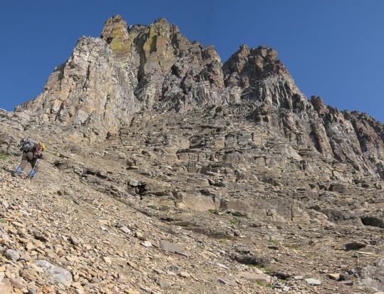
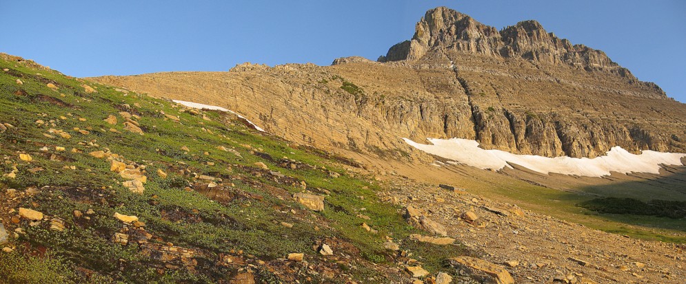
Approaching the ascent gully
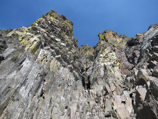
Looking up the ascent gully and the beautiful rock at the top
The beautiful rock at the top
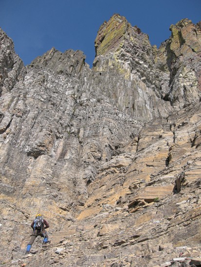
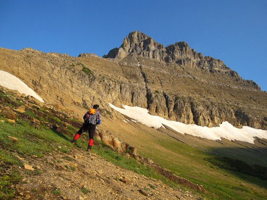
Ascending the gully
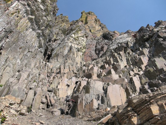
Approaching the diorite
Climbing the diorite
More cool rock
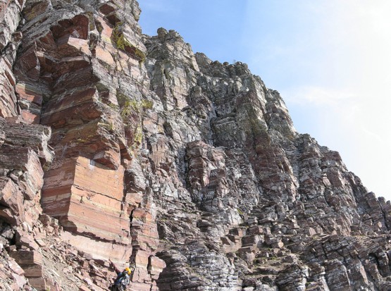
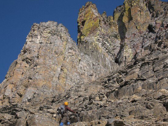
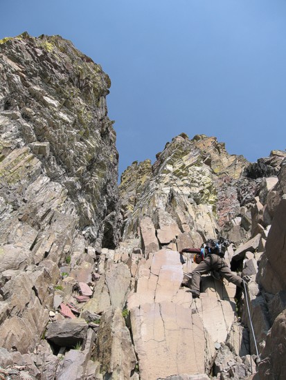
Searching for the "Thin Man's Pleasure" route (far left)
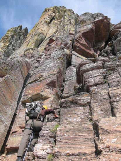
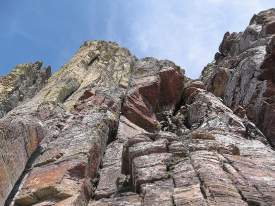
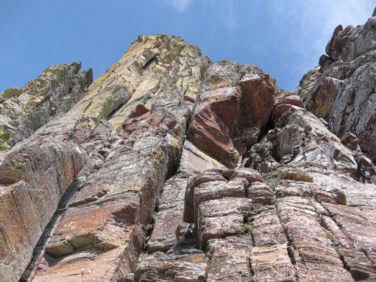
Starting up the route; the hole is the small black part in the upper right
Approaching the hole
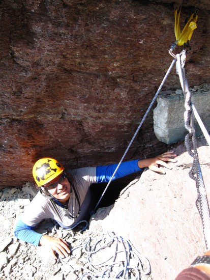
Through the hole
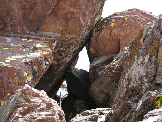
Looking down through the hole
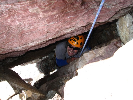
Mark prepares to squeeze through
A snug fit
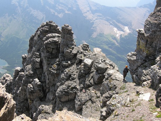
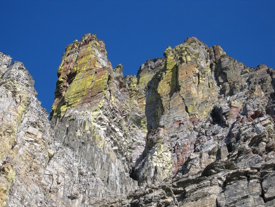
Some of the pinnacle scenery higher up
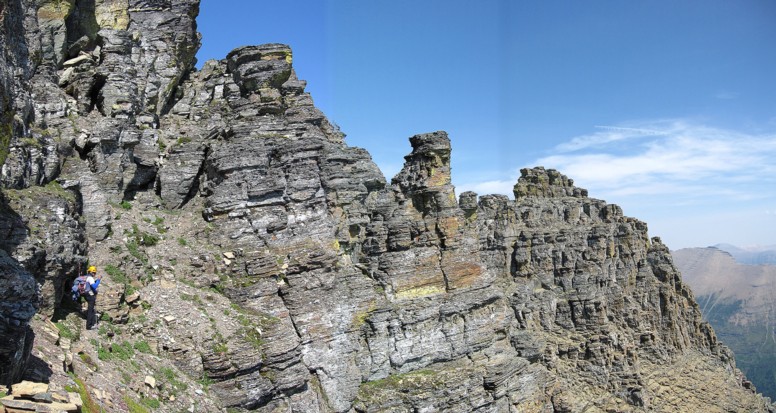
Same as above
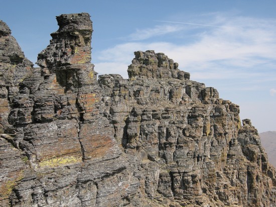
A closer look
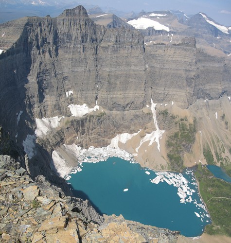
Iceberg Lake and Iceberg Peak
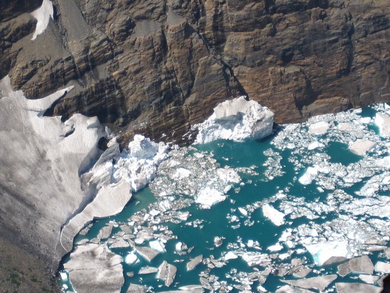
The ice-chunks
Mark at the summit
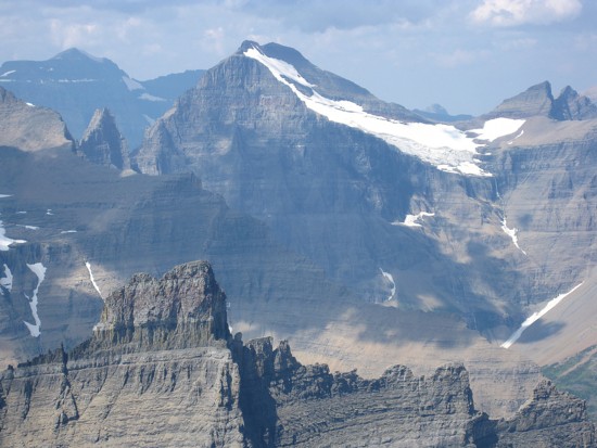
Mount Merritt
Trying to imitate the photo of the front cover of Gordon Edwards A Climber’s Guide to Glacier National Park
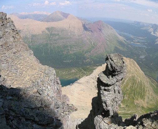
More pinnacles
The scary-looking north side of the east face
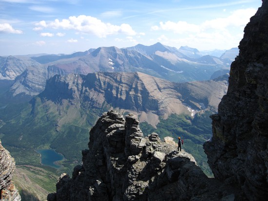
The view to the south
Rappelling the "hole" section