Mountain height:
2545
m
Elevation gain:
1000
m
Ascent time:
8:15
Descent time:
5:05
Scrambling with Mark.

This was actually an attempt at
We left the parking area at 9:45 am
and cycled approximately
15 km to the ascent drainage.
There were two potential drainages and
unfortunately we picked the wrong drainage. Checking the GPS seemed to
indicate
we were in the correct place, but an hour of unpleasant bushwhacking
proved
that assumption to be wrong. By the time we figured it out and worked
our way
to within reach of the correct drainage, it was clear that we would
have
neither the time nor the energy to attempt Castle Peak and settled for
an
attempt of
Even this much scaled down objective
proved to be more
challenging than expected. Huge vertical cliffs kept popping up in
front of us
and though the scenery was very interesting, it was frustrating to be
unable to
find a decent route towards the summit. Just as we were to call the day
a
right-off, we stumbled onto a fairly well-maintained trail and decided
to
follow around the south side of the mountain. This trail actually went
most of
the way up the mountain. At one point we abandoned the trail to seek a
more
direct route. This resulted in some outstanding hands-on scrambling on
fantastic rock. Of course, that was quick to give way to the usual fare
of
We finally gained the south ridge of
For descent, we followed the trail
all the way back to the
correct ascent drainage and then bushwhacked back to the trail. The
bike ride
back had many long sections of uphill riding and sucked the remaining
life out
of both of us. We made it back to the car just before midnight. Though
disappointing not to have been afforded an opportunity to try
challenging
Castle Peak, the scenery and summit view of
Checking the GPS; Castle Peak in the background
Scrambling
Interesting terrain on the way to Windsor
One the cliffbands that barres the way
Great scrambling to circumvent the cliffbands
Same as above
Mark at the bottom of the rock-step
Mount Jutland

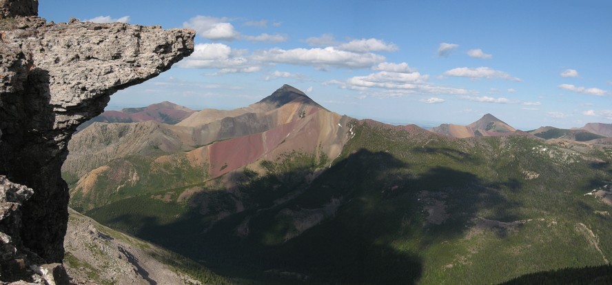
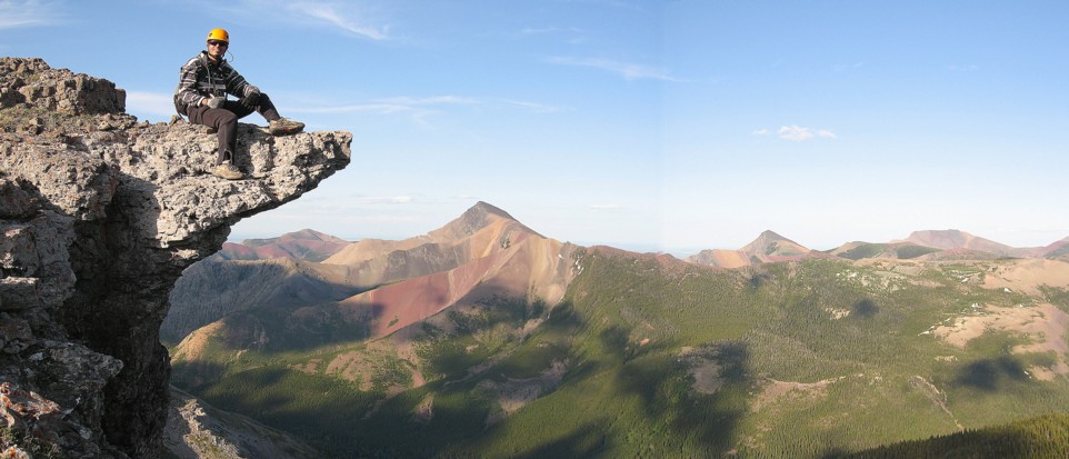
An interesting outcrop of rock and the beautiful form of Victoria Peak
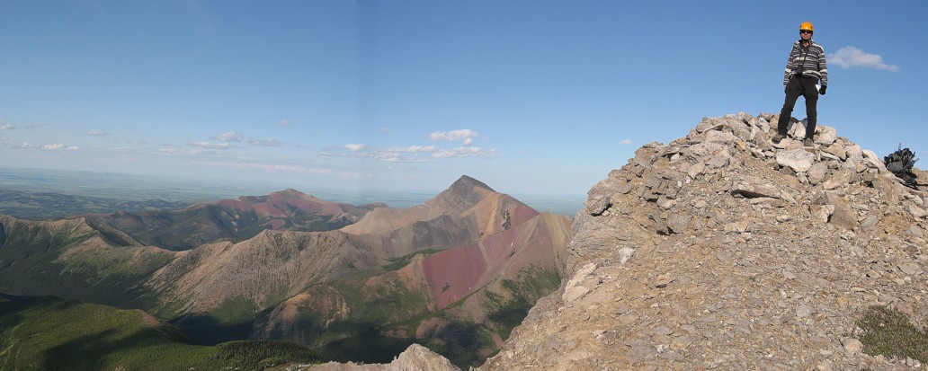
The summit of Windsor
Same as above, with me
Mark traverses the ridge
A little diversion
Not a place where you would want to slip
Mark completes the ascent

At the summit
Mark at the top, looking towards Castle Peak
The connecting ridge to Castle Peak
Another summit view to the east
On descent, looking down the precipitous notheast face

Another place where you don't want to slip!
Cool rock