Mount
Worthington
and
Mount
McHarg
– August 24, 2006
Mountain height:
2915 m (
Worthington
, a few less for McHarg)
Elevation gain:
1200 m
Ascent time:
5:50 (from car)
Descent time: 1:30
(to camp at
Three
Isle
Lake
)
2:45 (from camp to car)
Scrambling with Kevin.
Kevin and I previously
attempted
Mount
Worthington
as a day trip in June of 2004 and failed because of excessive snow and dismal
weather. This time, we chose a more leisurely two day affair, with the hopes of
reaching the summits of
Worthington
and McHarg on the first day, and then some else close by on the second.
After completing the 3.5 hour
hike to
Three
Isle
Lake
and setting up camp, we started the easy ascent under increasingly cloudy
skies. We planned to head for the col south of the summit and then hike north
easily to the top from there. However, as we approached the once
daunting-looking the east face, I thought it might be more interesting to head
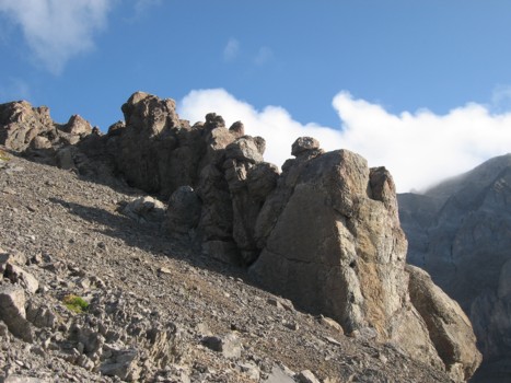
right up face, as it didn’t look so daunting anymore. The east face was fun,
with lots of hands-on scrambling and a one fairly steep section. The rock was
solid where it needed to be and before long I was at the summit. Kevin had
chosen to take the south ridge route and followed shortly afterwards.
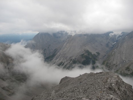
The summit panorama was
absolutely fantastic, even in less than perfect weather conditions.
Worthington
occupies a position pretty much in a centre surrounded by 4 spectacular and
unique 11,000ers: the “white fang” of Joffre to the south, awesome King
George directly west, the pyramid of
Assiniboine
to the northwest, and beautiful Sir Douglas to the north. Of course,
innumerable other peaks of the Royal Group, British Military Group, French
Military Group, and
Opal
Range
did nothing to deter from the spectacle.
Getting to Mount McHarg was as
close to a joke as one can get - 10 minutes of scree slogging, with about 50
metres of elevation loss, followed by 30 odd metres of gain – nothing more
than a little bump to the west of Worthington. I ranted to Kevin about why this
“bump” had been designated as a separate peak with an official name. He
conjectured that from the
Palliser
Valley, to the west of McHarg, the mountain probably appeared to be a distinct summit
and not part of
Worthington
. Later, Linda Breton pointed out that McHarg was named in 1918 and
Worthington
in 1956, which probably gives credence to Kevin’s observation. We both took
the south ridge descent route and were back at the camp before 7 pm.
The following day, we made an
attempt at
Mount
Beatty. Putnik was much closer, but Kevin had already done that, so we started up the
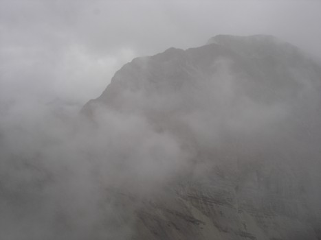
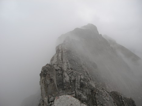
very long south ridge of Beatty. Unfortunately, the weather, that looked
promising in the morning, quickly turned into heavy and low-lying cloud cover,
the potential of rain or snow, and very cold temperatures. When we closed in on
a section that looked to be technical and very exposed, we decided to back down.
Both of us had very cold hands and the threatening weather conditions were not
about to improve. Back at the camp, the sun came out and we returned to the car
in great weather!
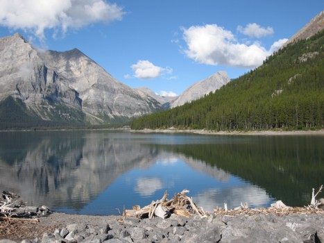
The Upper Kananaskis Lake; Mount
Worthington is far in the distance below the small cloud in the centre
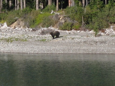
A grizzly on the lake shore
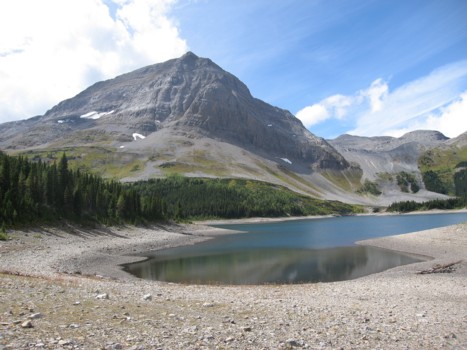
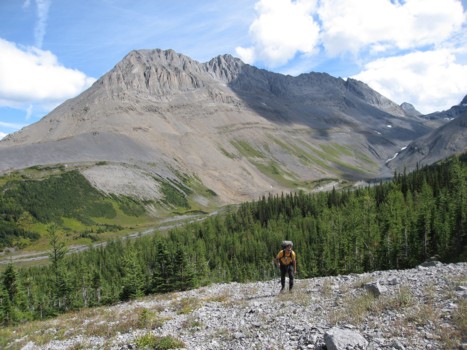
Mount
Worthington and Three Isle Lake
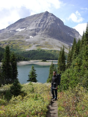
Me and Worthington
(photo by Kevin)
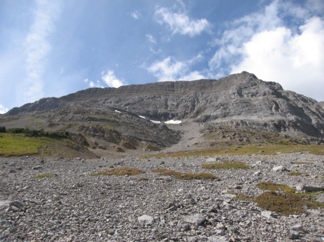
Kevin ascends the lower slopes
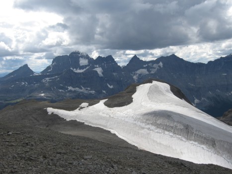
The east face of Worthington
Heading up the east face (photo
by Kevin)
The northwest side of
Mount Northover
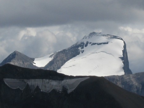
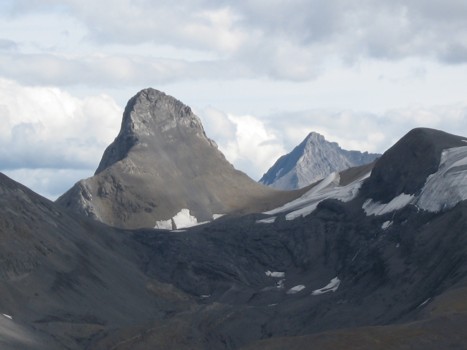
Mount Joffre
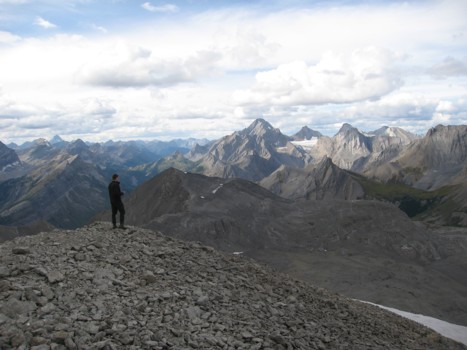
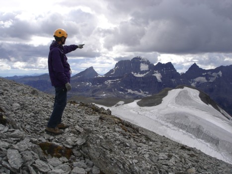
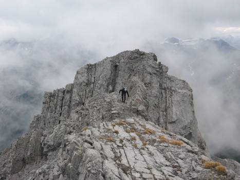
Kevin at the summit, looking to
the north
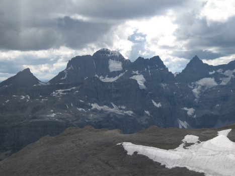
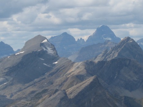
Most of The
Royal Group
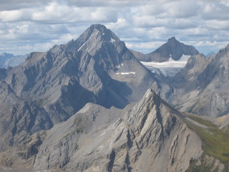
Mount Sir
Douglas (left) and Mount Robertson (right)
Mount
McHarg (lower right) and The Royal Group
behind
Mount
Assiniboine (right)
Me at the summit (photo by
Kevin)
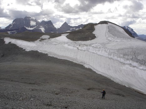
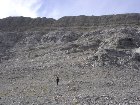
On the way to McHarg
(photo by Kevin)
The following day:
The lower section of Mount
Beatty's south ridge
Clouds cover Mount
Putnik (photo by Kevin)
Kevin comes up the ridge (the
dot in the clouds)
More cloud and ridge
Kevin on the ridge, just before
we turned around
LOG