Bellevue Hill XI
June 10, 2023
Mountain height: 2116 m
Elevation gain: 900 m
Round-trip time: 4 hours
Solo scramble.
 With a very foreboding
weather forecast in hand, I set to find something short and not overly committing
in case things went south with the weather. I’ve always been intrigued by a
couple of drainages on the south side of Bellevue Hill and so I picked the east
one.
With a very foreboding
weather forecast in hand, I set to find something short and not overly committing
in case things went south with the weather. I’ve always been intrigued by a
couple of drainages on the south side of Bellevue Hill and so I picked the east
one.
Although highly
unlikely to become the route of choice up the Hill, the drainage ascent was a gratifying
success. Lower down, the drainage boasted numerous beautiful cascades and
higher up the usual glut of colourful and striking rock. In addition, the
weather was significantly better than expected. Low-lying clouds streaming in
from the east provided some atmospheric views later in the day.
For descent I
would have liked to traverse west along the ridge and then down the next
south-trending ridge back to the road. However, the weather was definitely in
the process of changing from entertaining to threatening. As such, I took the
fastest route down via the closest south rib. Good thing, as an hour so after
completing the trip, all hell was loosened upon the area is the form of violent
thunderstorms and torrential rain.
Overall, a very
rewarding half day out. Add yet another thrilling route up the runt of
Waterton!
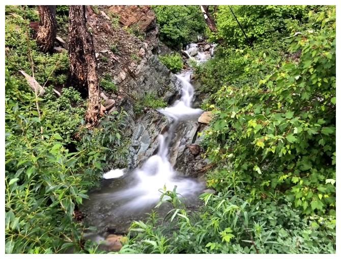
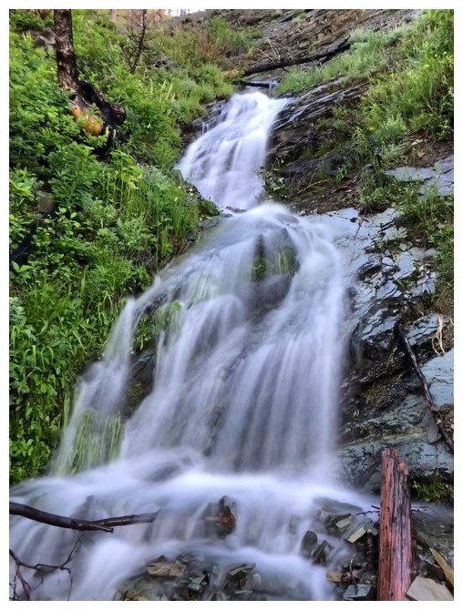
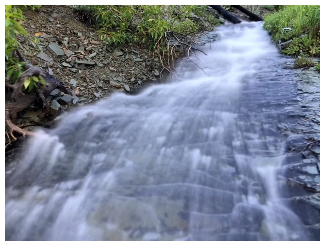
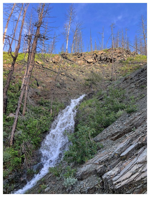
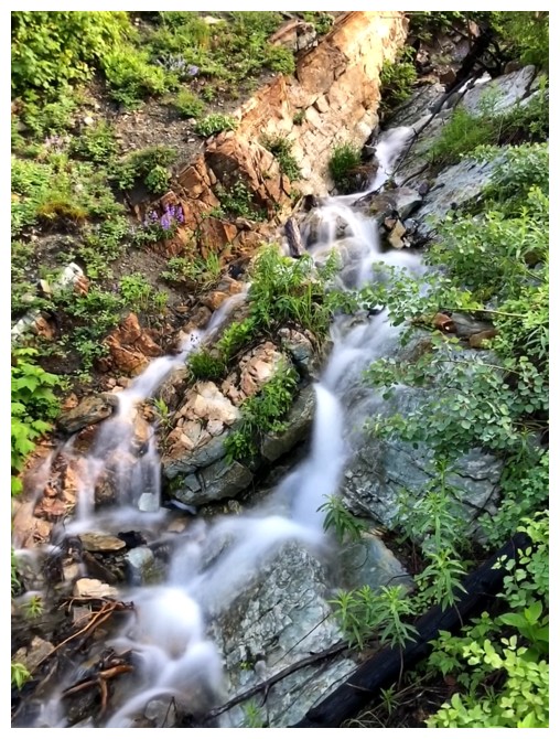
A small sample of the numerous cascades to come
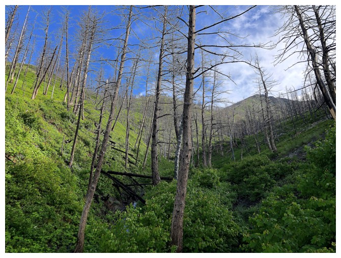
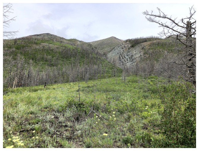
The route up looks interesting
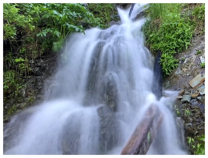
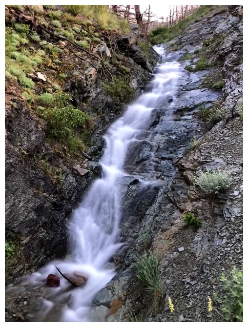
It's cascade heaven for the next little while!
Looking back to Saakiihmabii (Vimy Peak). Check out Dave's report to learn about this name.
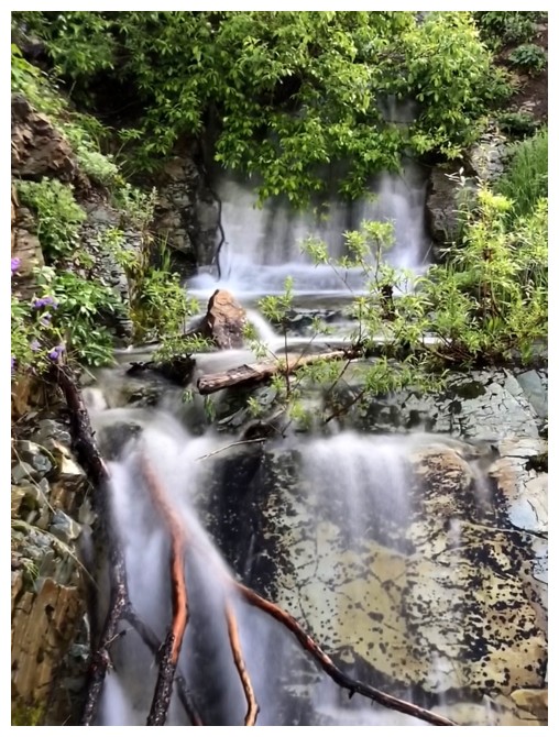
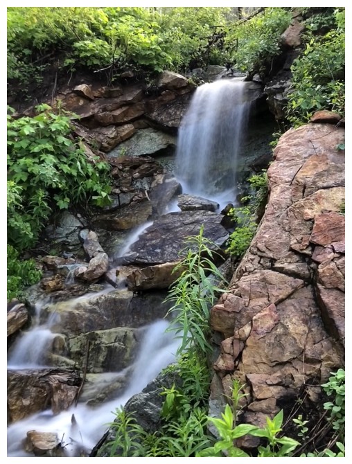
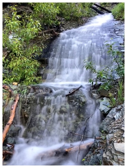
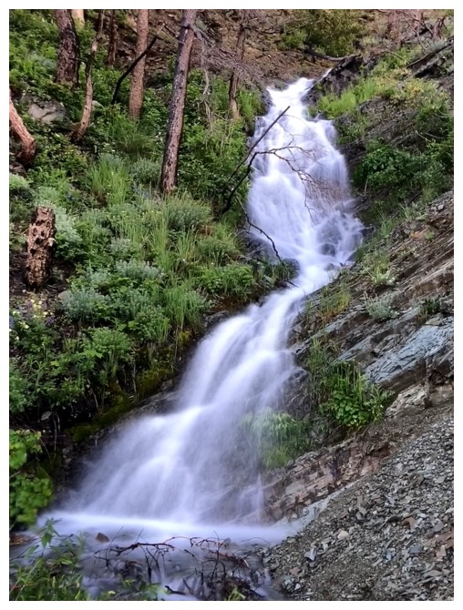
Another small but beautiful waterfall
The route ahead
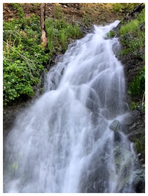
The last cascade, but not The Last Crusade! Opening scene filmed in Moab, Utah.
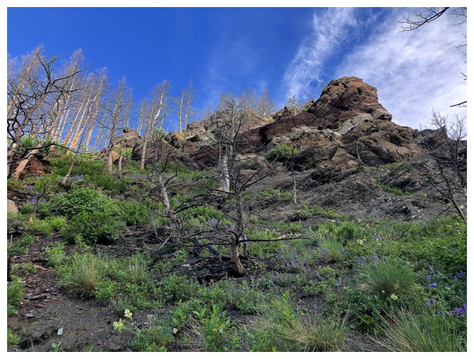
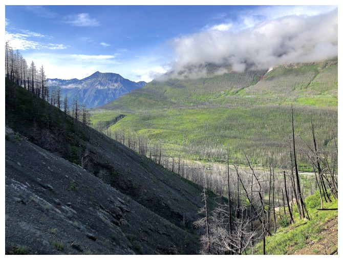
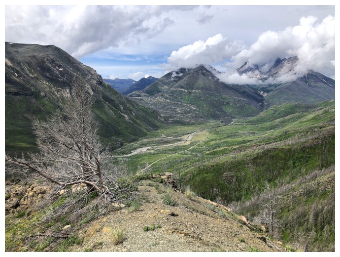
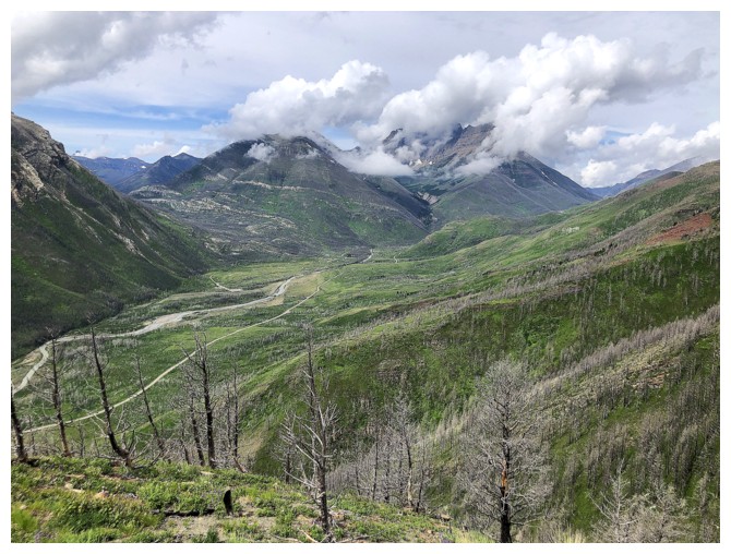
Great water scenery gives way to great rock scenery
The north side of Mount Crandell - tried a route up near the right side of the photo about 6 weeks earlier
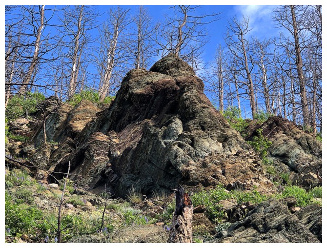
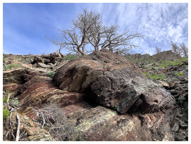
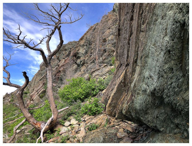
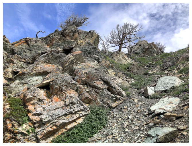
Cool rock
Cool rock and tall tree
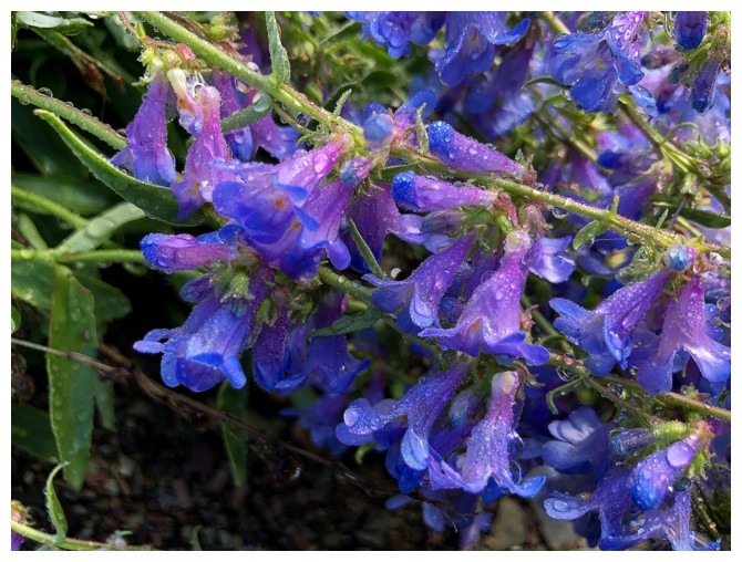
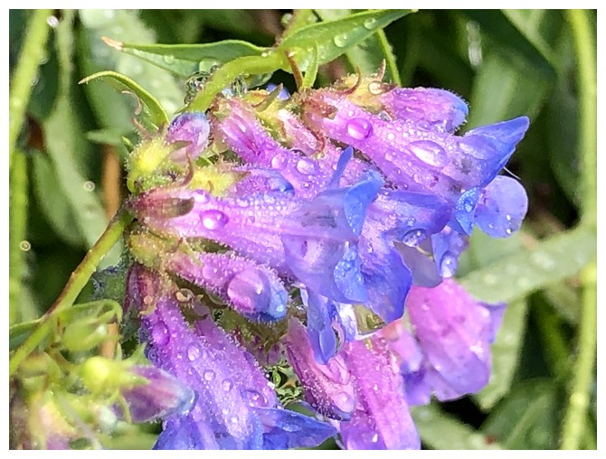
Blue bells?
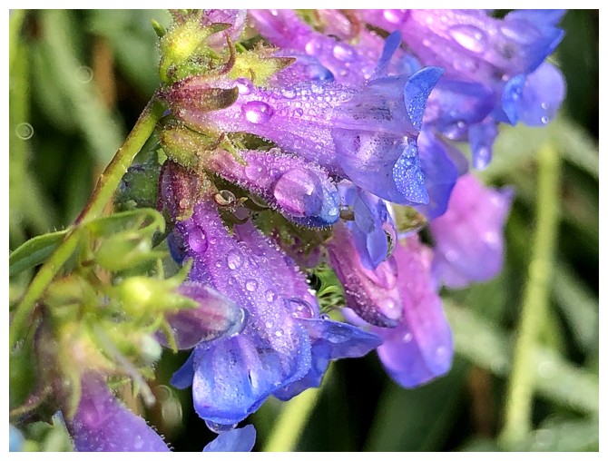
The detail you can get with a phone camera always amazes me
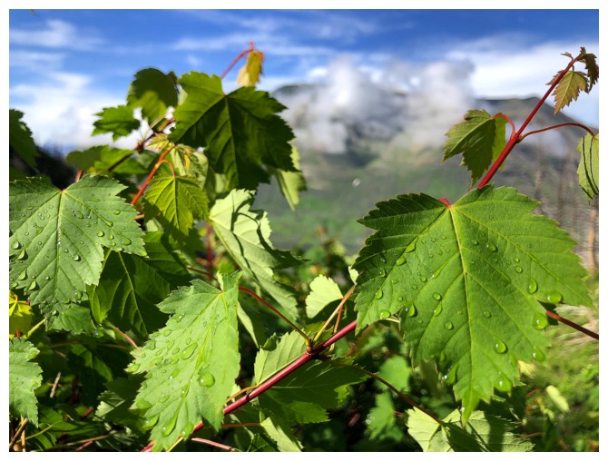
Green leaves?
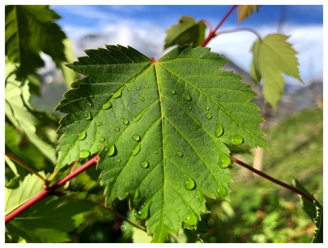
...with water
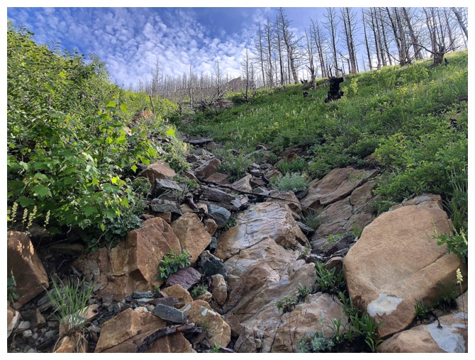
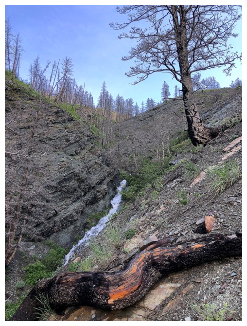
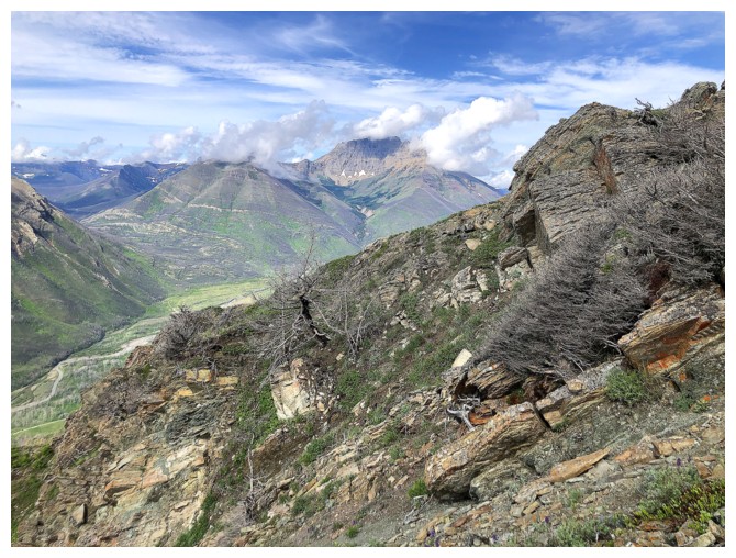
The green foliage is starting to give way to more rocky terrain
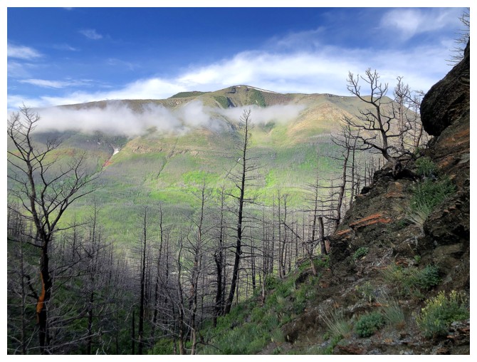
Better view of Crandell
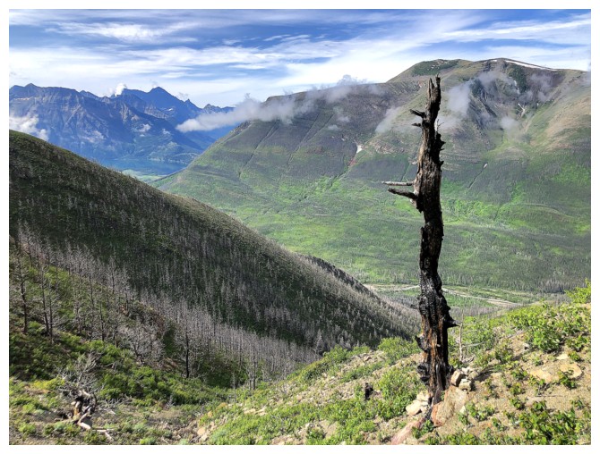
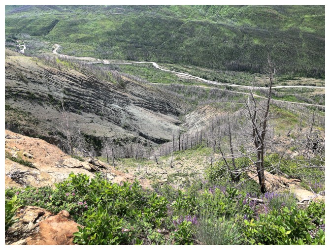
Burned and lonely - doesn't get much more depressing than that!
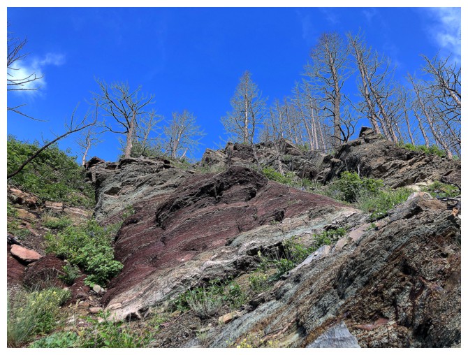
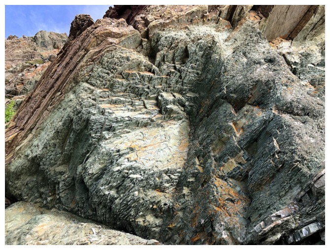
Wall of gray/green argillite
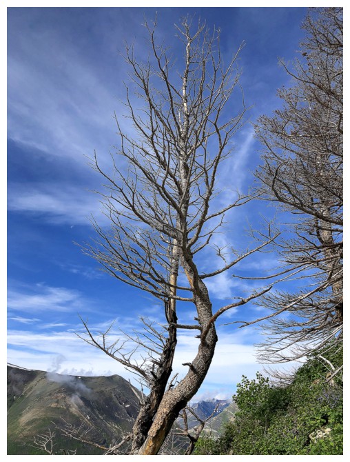
Another tree, but this one isn't lonely
Neither are these
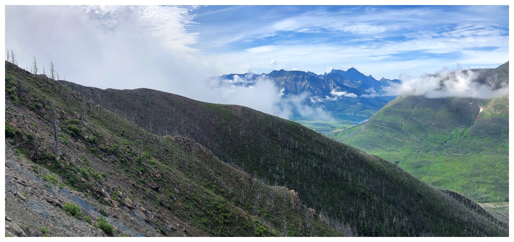
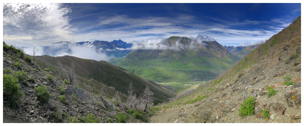
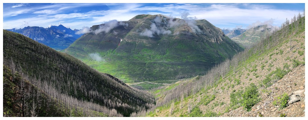
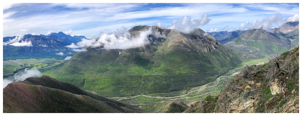
Mount Cleveland asserts its dominance as the highest peak of the
mountains that make up The Castle, Waterton, and Glacier National
Parks. Meanwhile the cloud are forming in the east.
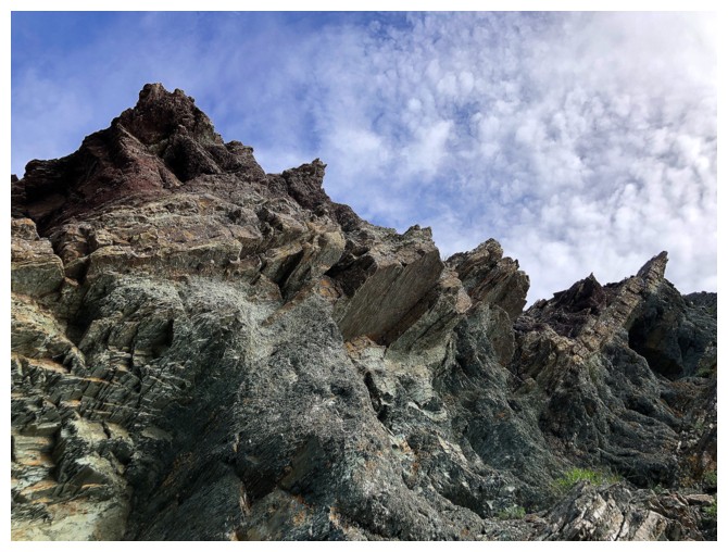
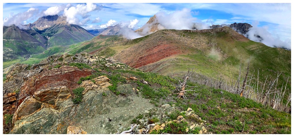
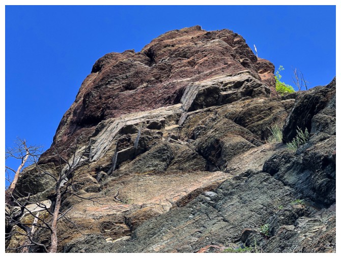
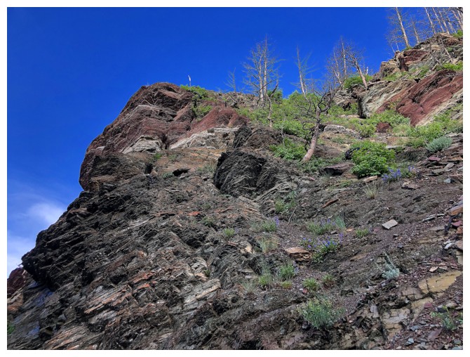
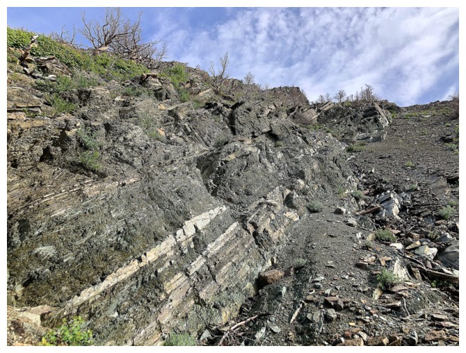
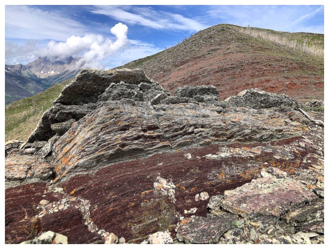
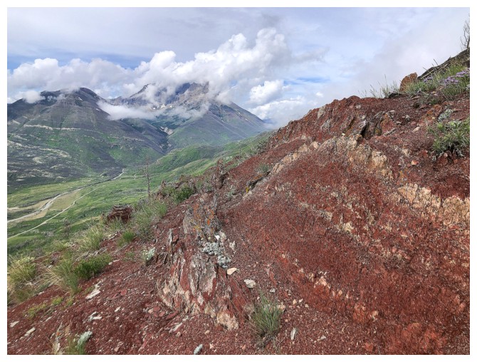
Striking rock
Colourful rock
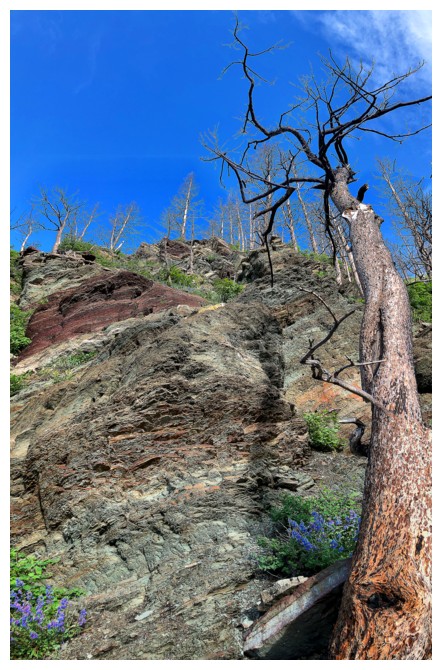
Striking and colourful rock
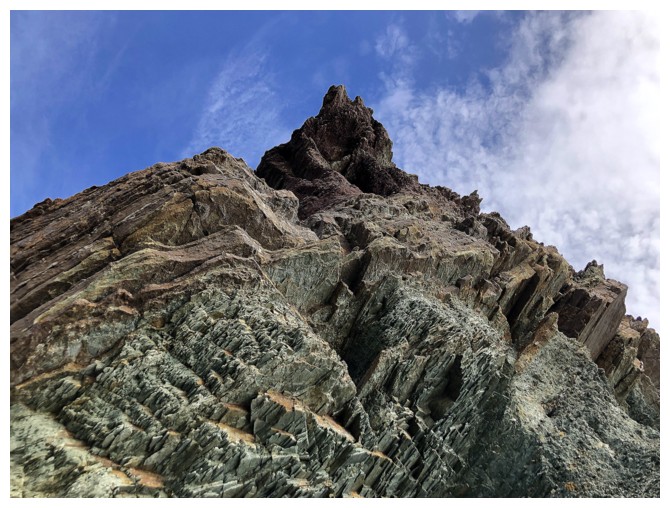
Same as above with a tree
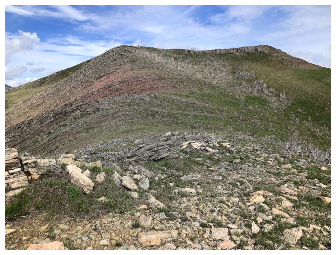
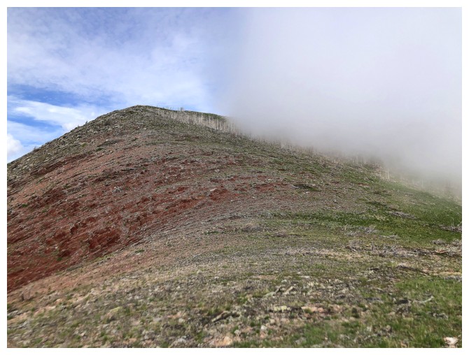
Approaching the false summit of the Hill
Piinaquiium (Mount Blakiston) asserts its dominance as the highest mountain on the Canadian side of the Castle, Waterton and Glacier ranges
Crandell again
Popped up right at the cairned false summit
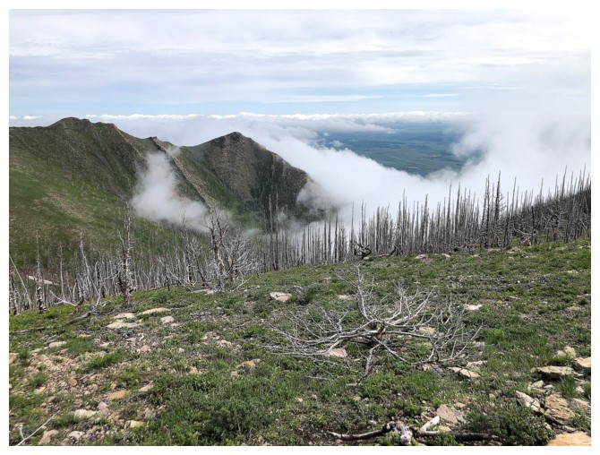
Clouds creeping over the northeast ridge of Bellevue
True summit at the right
But first, a few amazing distractions!
"Send in the Clouds". If 3:58-4:20 doesn't freeze your soul, it's because you don't have one!
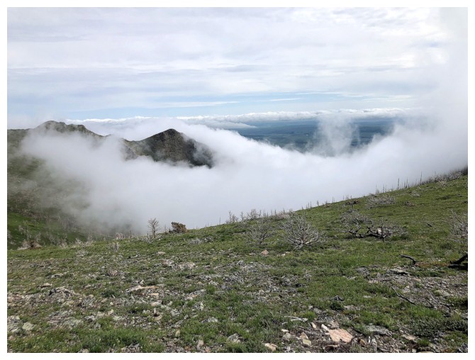
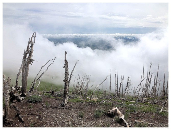
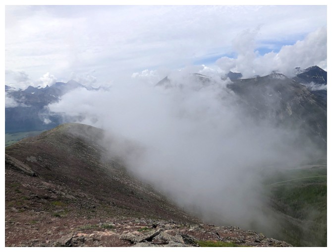
The true summit has disappeared
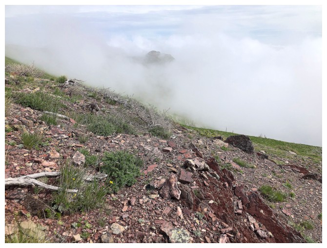
So has the northeast ridge
And now the false summit
Conditions to the southwest are holding on but could change any second
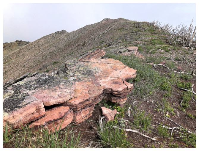
Summit in sight, as is a beautiful outcrop of argillite
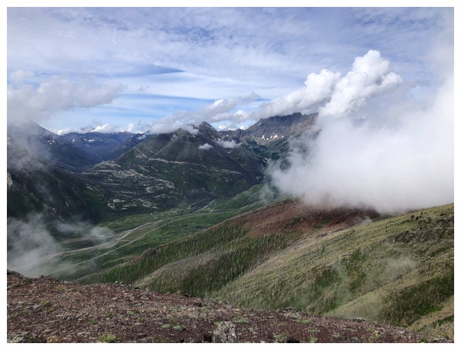
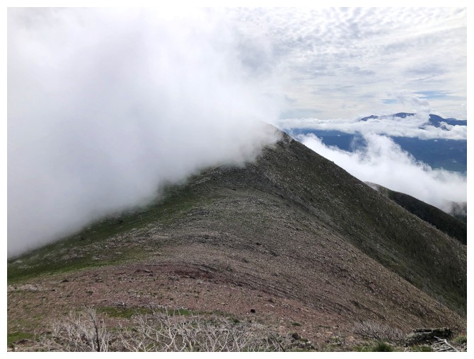
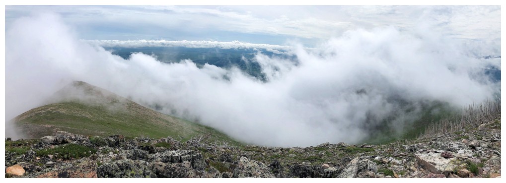
Clouds are now consuming the ridge between Bellevue and Galwey
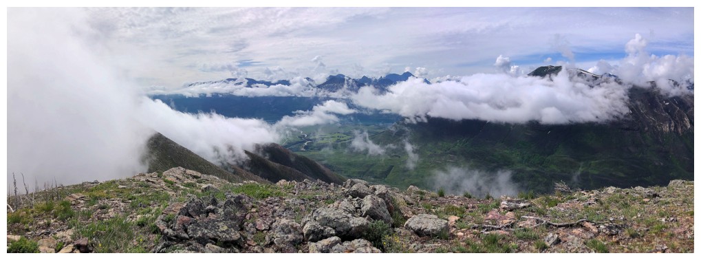
Cloudy but cool views to the east
Summit view to the east
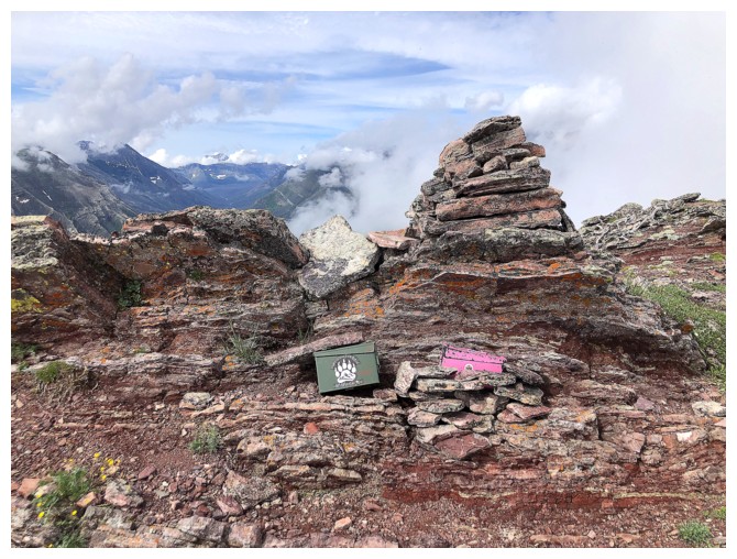
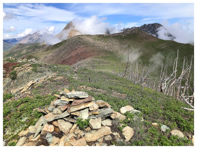
Summit cairn
The clouds are now threatening to consume the descent route
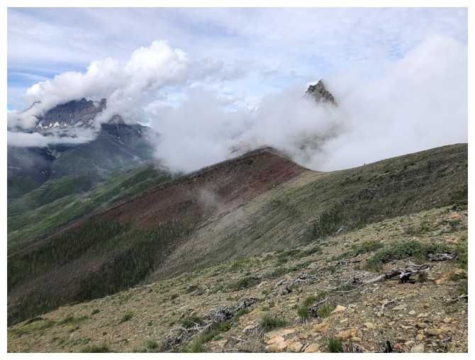
The summit of Galwey makes a brief but dramatic appearance
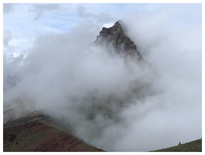
Close-up
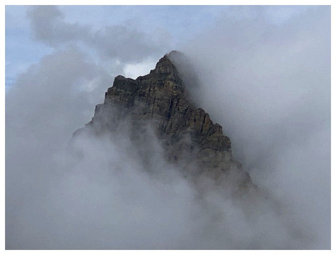
REAL close-up!
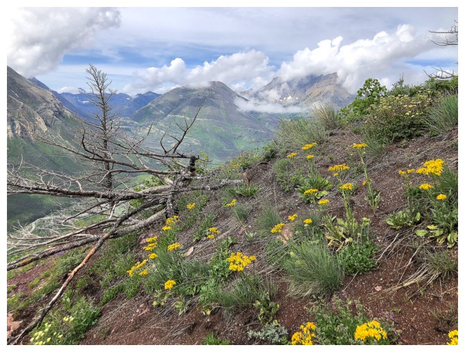
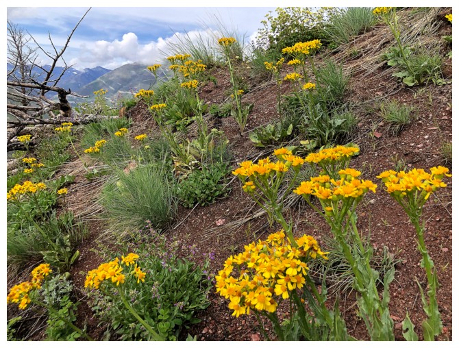
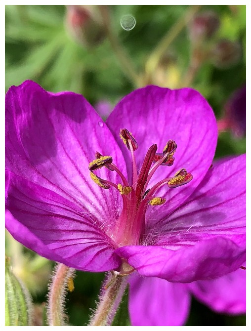
Round 2 of Wildflowers
Red rock and the now cloud-free false summit
Red rock and still cloud-consumed Blakiston
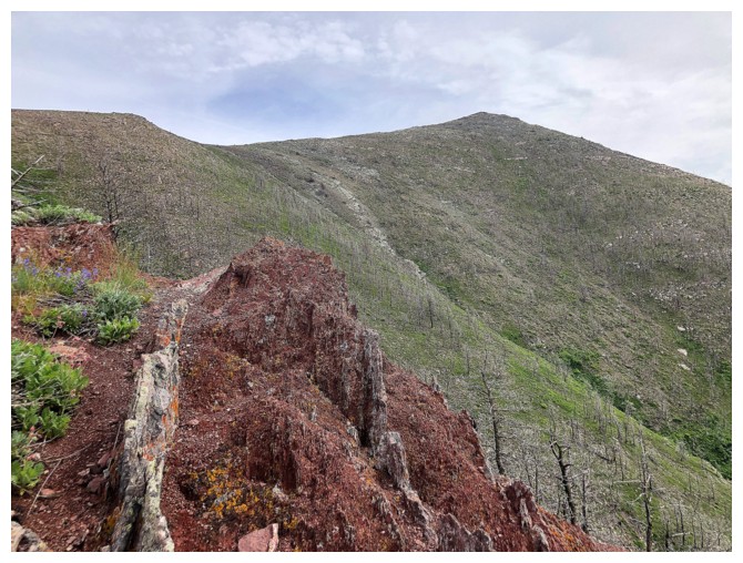
Easy travel down the ridge
And good views, even with the clouds
Glimpse of the other drainage. It looks to have lots of interesting terrain and challenges.
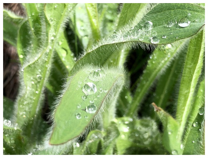
Hairy, watery leaves
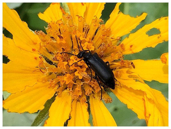
Bug on a flower
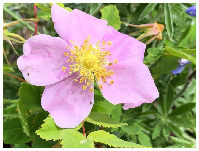
No bug
Ditto
Looking back up to the false summit from near the road
The End
LOG