Mount Crandell
attempt (north side)
April 30, 2023
Elevation gain: 825 m
Round-trip time: 7 hours
Solo scramble.
The
order of the day was to cycle the, still closed to vehicles, Red Rock
Parkway and pick an objective en route. With limited time it would have
to be a relatively short trip.
Approaching
the turn-off to the old Crandell Campground site I decided it might be
interesting to attempt to the gain Mount Crandell’s northwest ridge
directly from this point – a line north of the west ridge ascent route
that starts from the Crandell Lake trailhead. The summit could be
reached in short order from the ridge.
In a nutshell, the route up had more cons than pros, especially when compared the other three main routes up the mountain (Tick Ridge, Bear’s Hump, and the west ridge route).
The Pros:
1. A few interesting sections of colourful and very solid rock.
The Cons:
1. Insanely foreshortened
2. Relentlessly steep
3. Mid-thigh-deep postholing for long stretches.
4. Not enough sections of colourful rock!
I
reached the ridge after about 3.5 hours of laborious and at times
tricky travel, almost double the time I expected to take. Thankfully,
the ridge greeted me with two rewards: excellent weather and a surprise
meeting with Jared Szakacs. I knew Jared from his social media
postings, and it was a pleasure to meet him face-to face. We had short
but great chat about our shared love for and appreciation of the
mountains of Southern Alberta, before parting ways along the ridge.
Unfortunately, the “relatively short” requirement of the trip had died
a slow and agonizing death on ascent and getting to the
summit of Crandell was no longer an option for me. I was also quite
intent on finding an easier way down, somewhat dreading having to
descend some of the steep and slippery terrain I ascended.
I did find a much easier way down, though it did require bit of a walk back around the mountain to rejoin my ascent route.
Interesting day on a route I will never repeat!
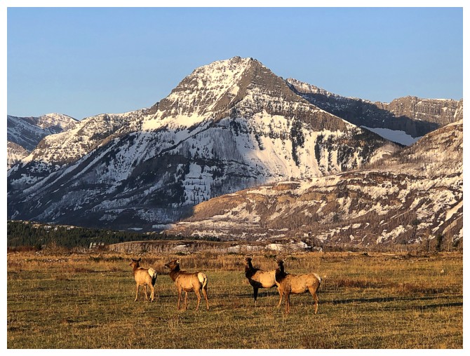
On the drive in I had to stop to let this crew cross the road
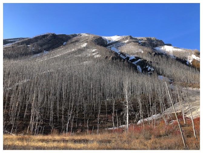
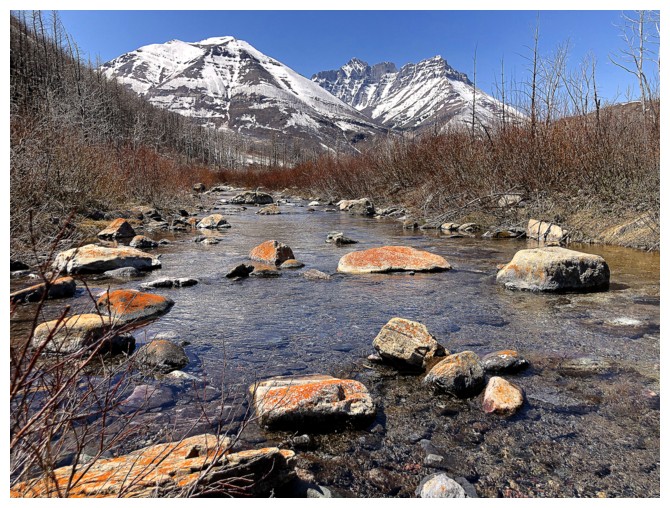
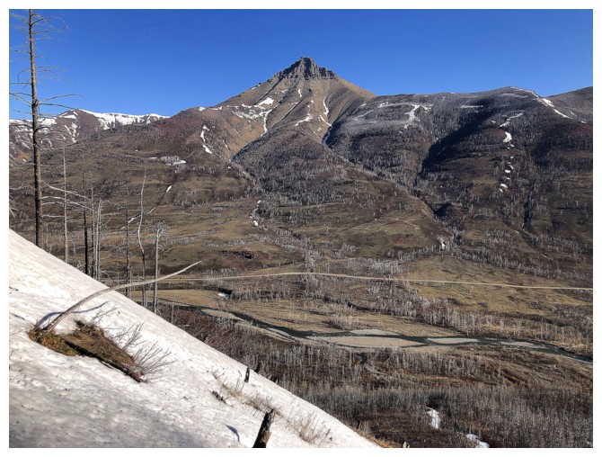
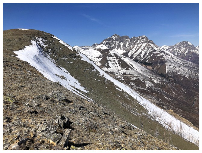
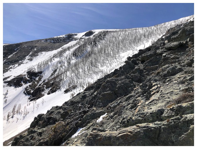
The north side of Mount Crandell from where I started
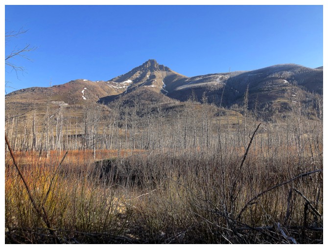
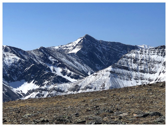
Looking over to Mount Galwey
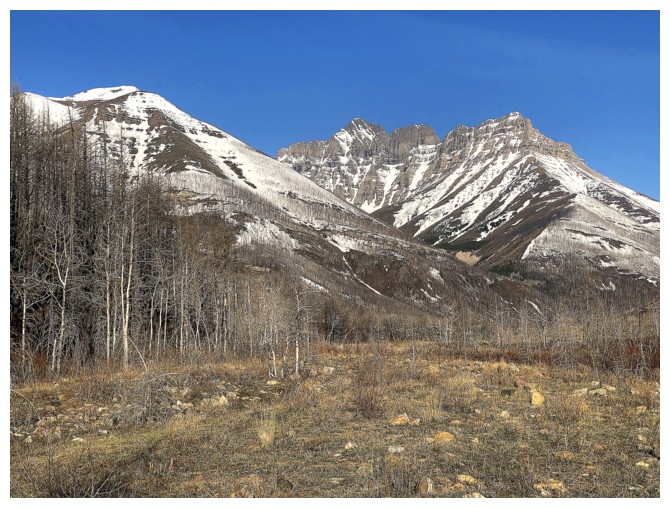
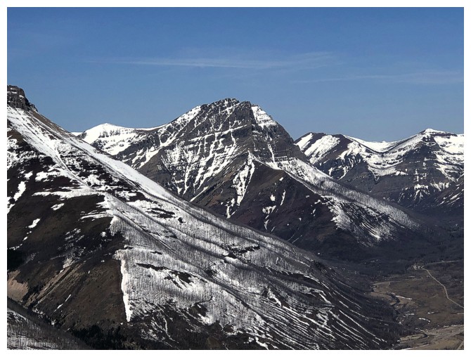
Mount Blakiston is going to be front and centre throughout
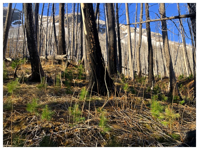
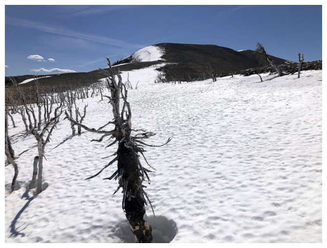
New growth emerges from the 2017 Kenow fire
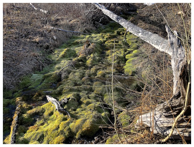
Moss
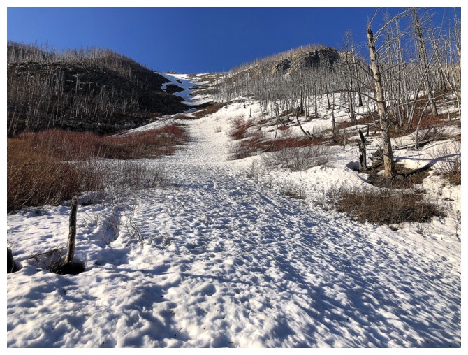
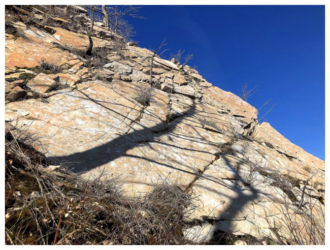
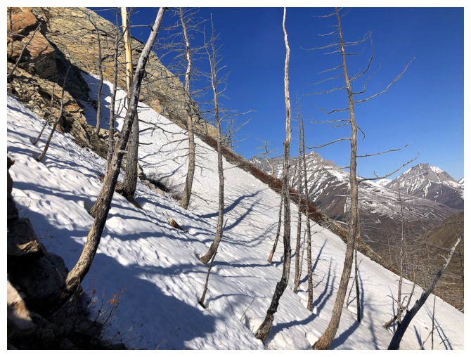
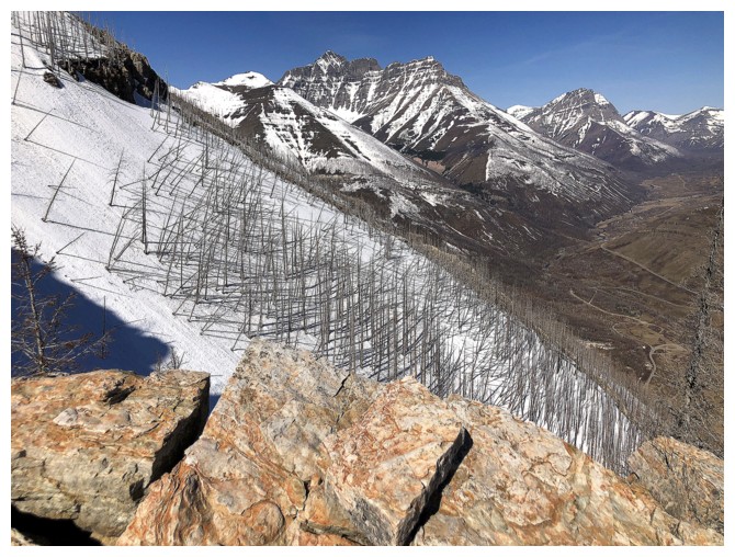
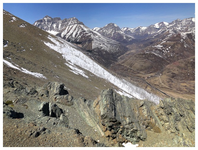
The ascent route - looks easy but its foreshortened and quite steep in places
Thought I was about halfway up at this point, but not even close
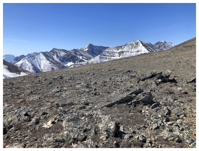
Galwey again
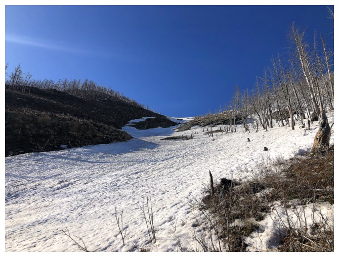
Could have followed this snow slope but the snow was isothermal and very deep - not fun!
Took this line instead where the snow was more supportive and the rock more interesting
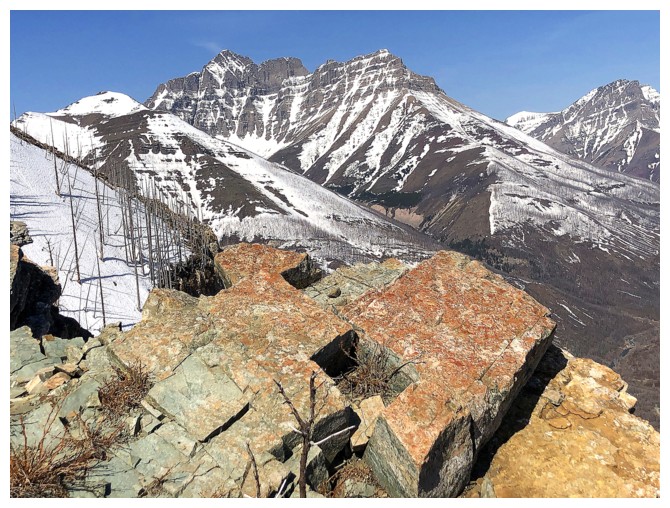
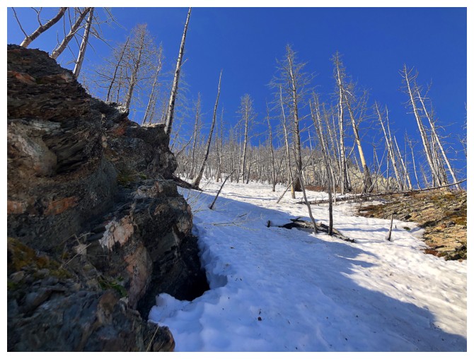
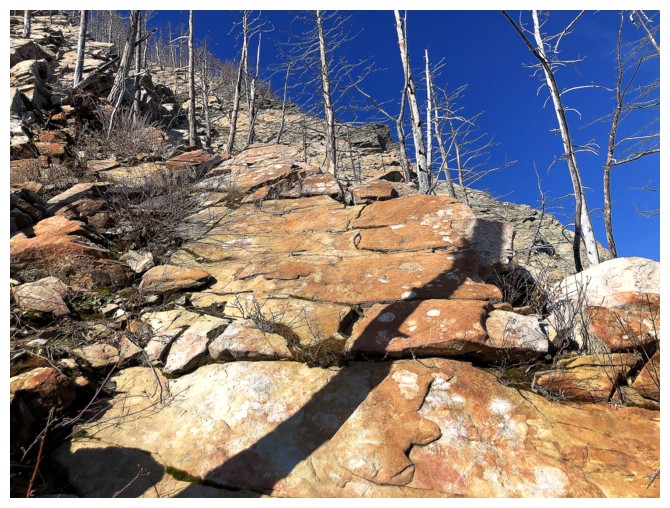
The section of beautiful rock has arrived
Would have liked to go right over to the edge of the ridge but the postholing here was too much
Settled for this
View west, northwest, and north. A few weeks in the future all the brown will be replaced by green.
The snowy gully to the west might have offered a good ascent line in the right conditions
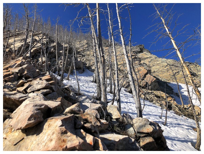
Same as above with some cool rock
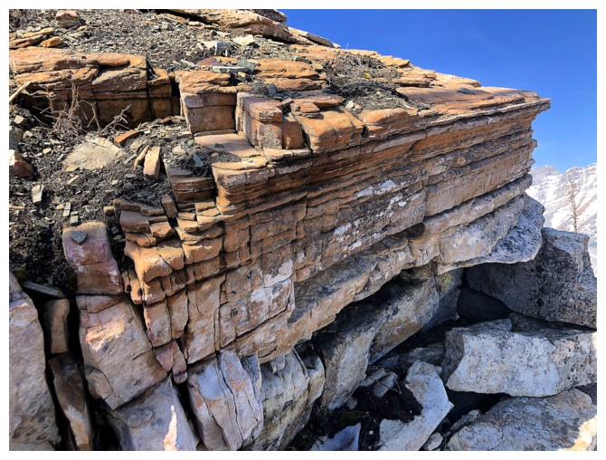
And more cool rock
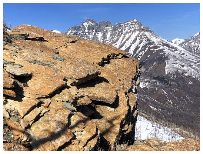
Ditto
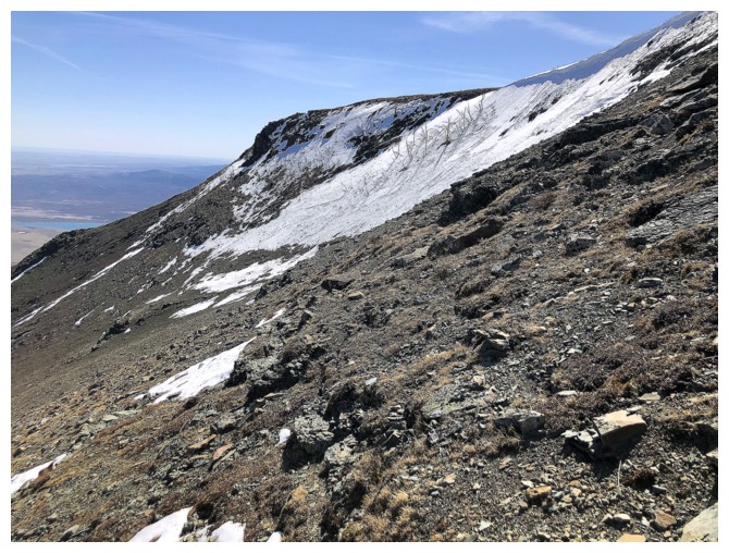
Looking over to where I planned on descending
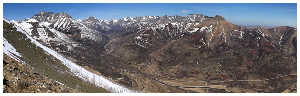
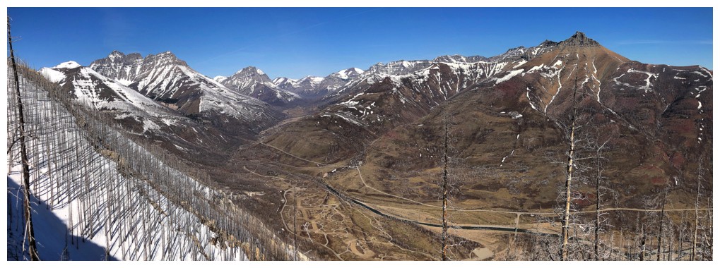
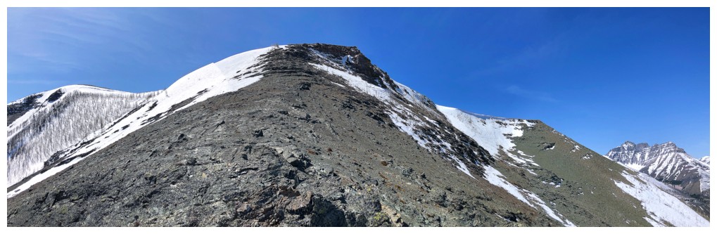
Another pano
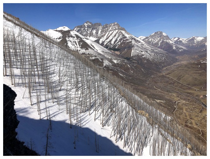
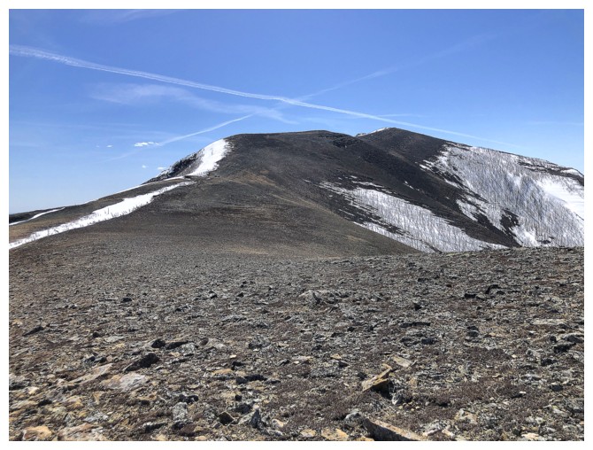
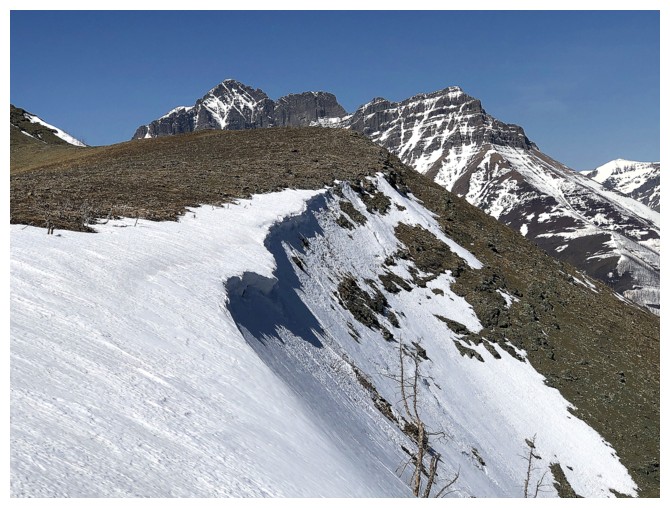
3.5 hours after starting up, the ridge is finally reached
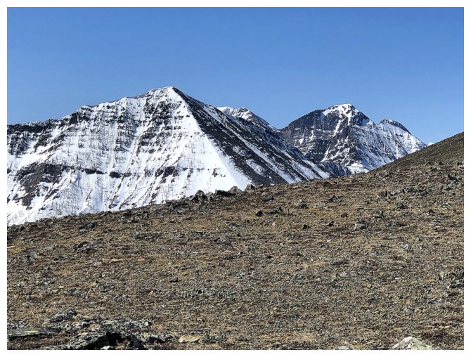
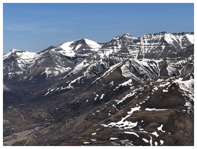
The ABBC quartet: Alderson, Bertha, Buchanan, and Carthew
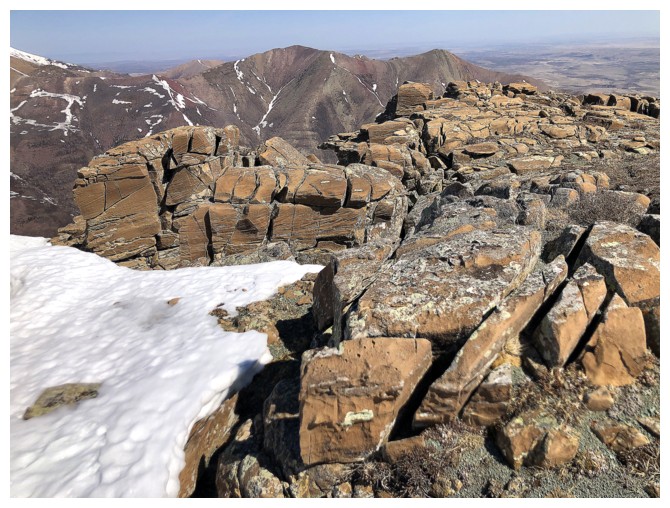
The summit of Crandell is not far away, but too far for the limited time I have
Alderson
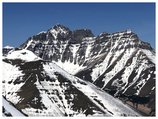
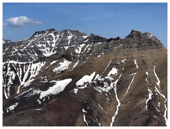
Three of the four peaks of the Buchanan massif (Northeast, The Middle Child, and Buchanan Ridge).
 Blakiston, with Ruby Ridge in the foreground
Anderson Peak
Newman Peak, Newman Senior, and Glendowan
Dungarvan, Galwey North, and Galwey
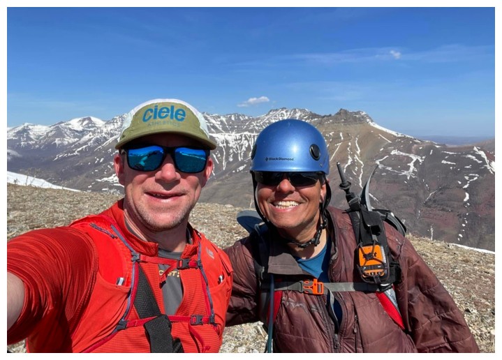
Finally bumped into Jared Szakacs (photo by Jared)
Jared is on his way to the summit while I look longingly at it
A bitter-sweet reminder that the snow season is on its way out
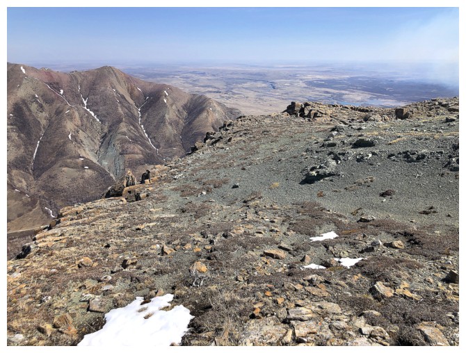
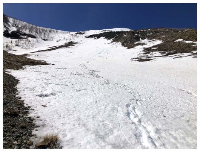
Hiking the north side of the ridge, looking for an easier way down
Another section of interesting rock
Looking back, while heading down
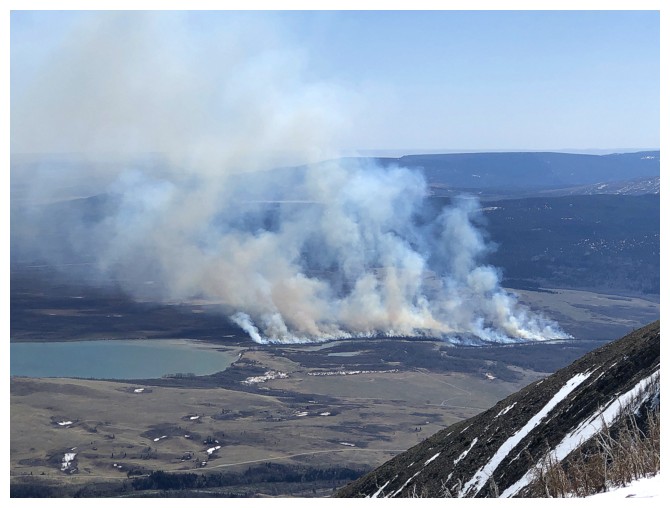
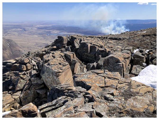
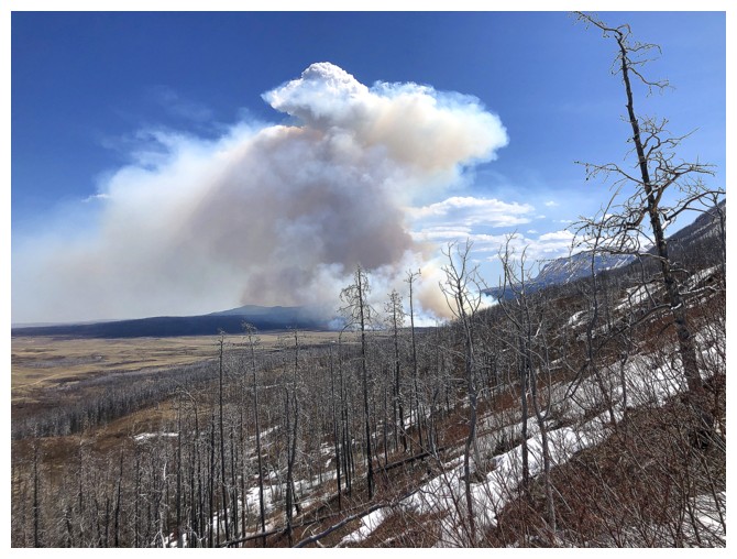
A prescribed burn near Lower Waterton Lake
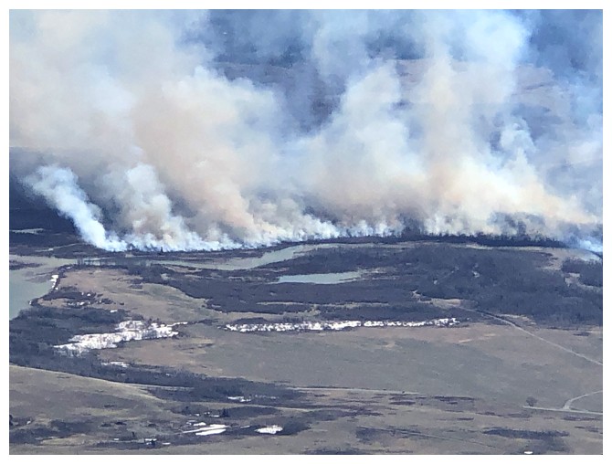
Close-up
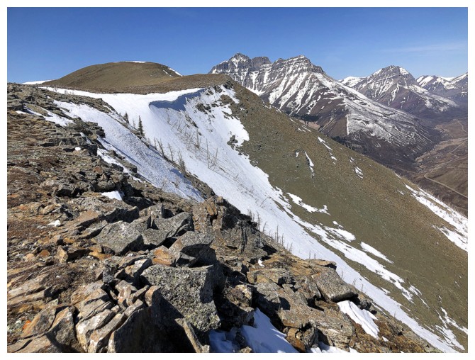
The descent route featured easy and scenic terrain
Looking up my descent route. Ascent route at the right.
Staying off the isothermal snow for as long as possible
Managed a pretty decent glissade down this some of this slope
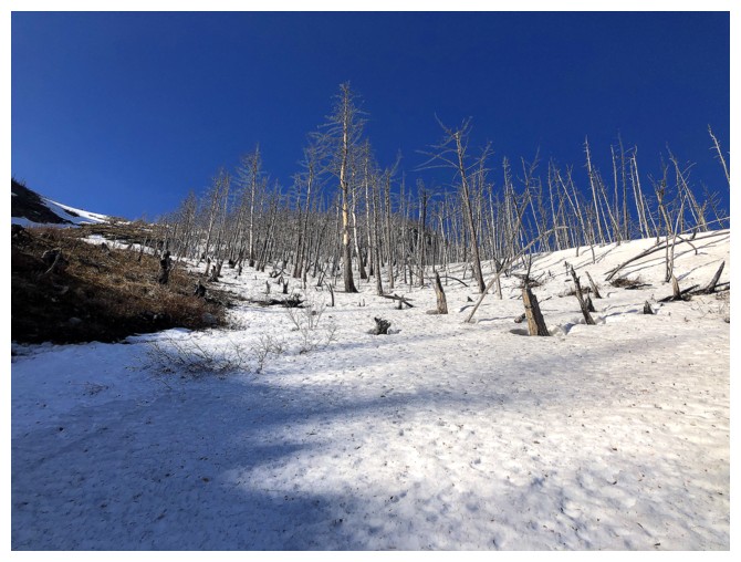
The burn
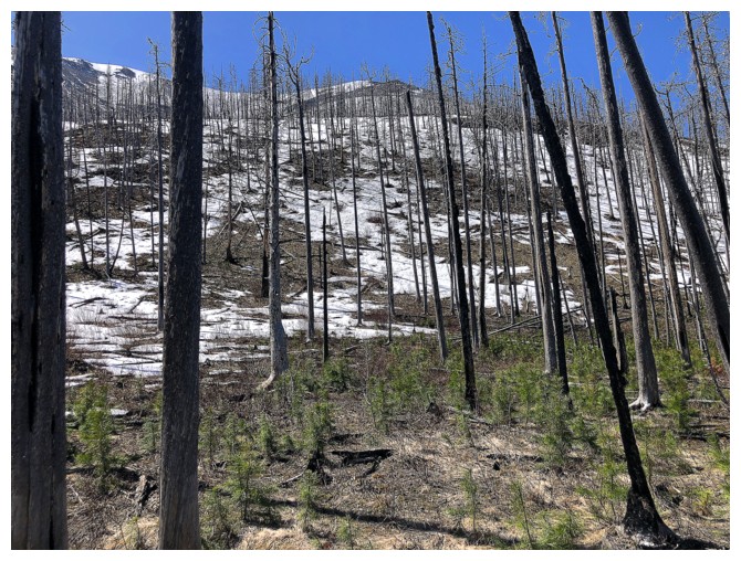
Back to the new growth
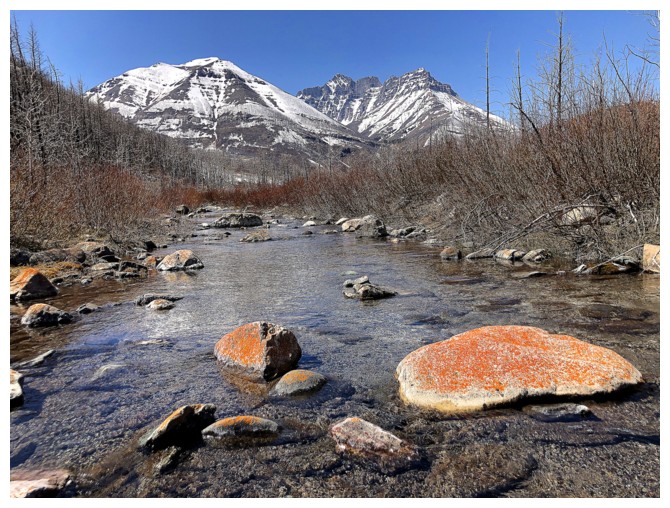
Vibrantly colourful lichen
The End
LOG