Bullhead Point
August 29, 2023
Mountain height: 2269 m
Elevation gain:
838 m
Round-trip time: 5:15
Solo scramble.
Bit
of a
bizarre day! I needed to be back in Canada around 2 pm in the day, but after a mind-blowing trip up Medicine Grizzly Peak 24 hours earlier and clear skies forecast for the day, simply heading back north was not an option. And so
after
spending the night at the St. Mary's KOA campground, I packed up around
5 am and was in
the Grinnell Glacier parking lot by 6 am. The objective was Grinnell
Point,
advertised as a short but interesting ascent that would take 5-7 hours
round-trip. 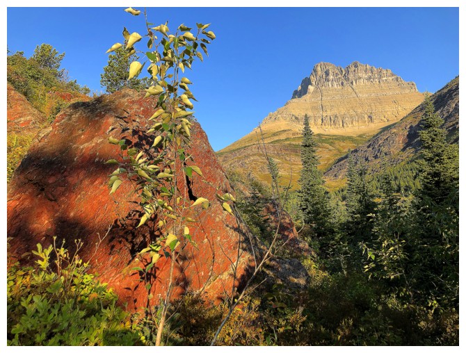 Upon reaching the point where I would leave the Grinnell
Glacier Trail to head upslope, I heard and then saw something in the
bush. It was a black
bear, hanging out pretty much exactly where I needed to go. Abort! I
turned
around immediately, warning a multitude of other hikers on return.
Upon reaching the point where I would leave the Grinnell
Glacier Trail to head upslope, I heard and then saw something in the
bush. It was a black
bear, hanging out pretty much exactly where I needed to go. Abort! I
turned
around immediately, warning a multitude of other hikers on return.
Plan B – Altyn
Peak via the South America route. The summit of Altyn wouldn’t be new to me,
but the short, direct route would be. I arrived at the parking area to see two gentlemen
looking at the ascent slopes through binoculars. “Anything of interest up
there?”, I queried. “Yep, there’s a black bear wandering around”, was the
response. Abort!
Luckily, there
was a Plan C. Bullhead Point is merely a highpoint on the east ridge of awesome
Mount Wilbur, but Blake Passmore describes the south face route as, “an uncomplicated
slog of Class II and III rock”, with a round-trip time of 3-5 hours. Game on!
After hiking
about 3 km to Redrock Falls, I spotted a faint trail heading in the right direction
and so that way I went. Unfortunately, I may have “jumped the gun” and ended up
in some fairly dense bush. Not wanting to retreat to find a better route, I
simply bashed through it to the rock bands above. At this point, completing the
route within the 3–5-hour window was severely in question.
The next
section of the ascent was the most interesting and engaging part of the day. It
involved zigzagging up the mountain, looking for non-technical routes up or
around steep rock bands. 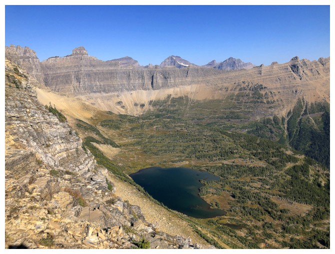 Easier terrain sat above, but it was steep,
foreshortened and consequently grueling. I eventually reached the east ridge to
enjoy a terrific view north. The summit was a short scramble and ridgewalk
away.
Easier terrain sat above, but it was steep,
foreshortened and consequently grueling. I eventually reached the east ridge to
enjoy a terrific view north. The summit was a short scramble and ridgewalk
away.
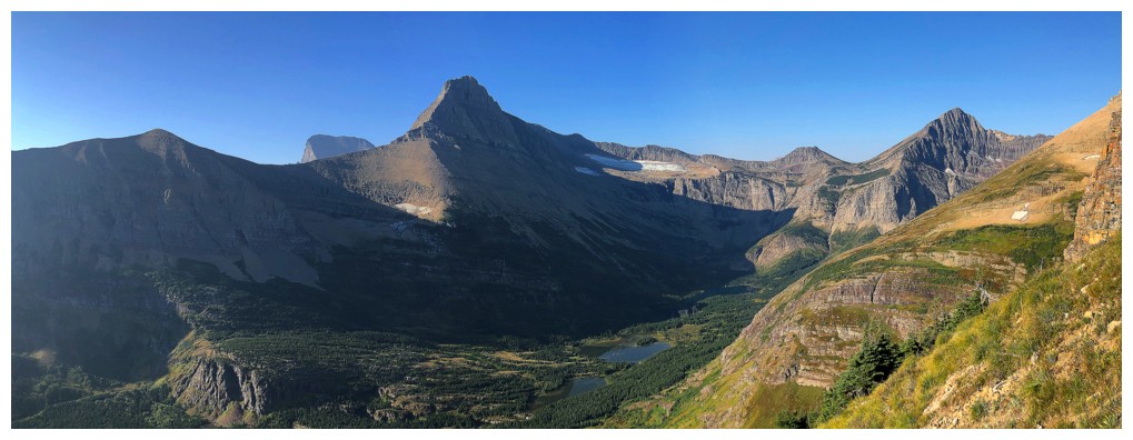
Needless to say,
the highlight of the view (in fact throughout the entire ascent and descent)
was the stunning form of Mount Wilbur. Other notable sights included The
Ptarmigan Wall below Iceberg Peak, Mount Grinnell, Swiftcurrent Mountain, and
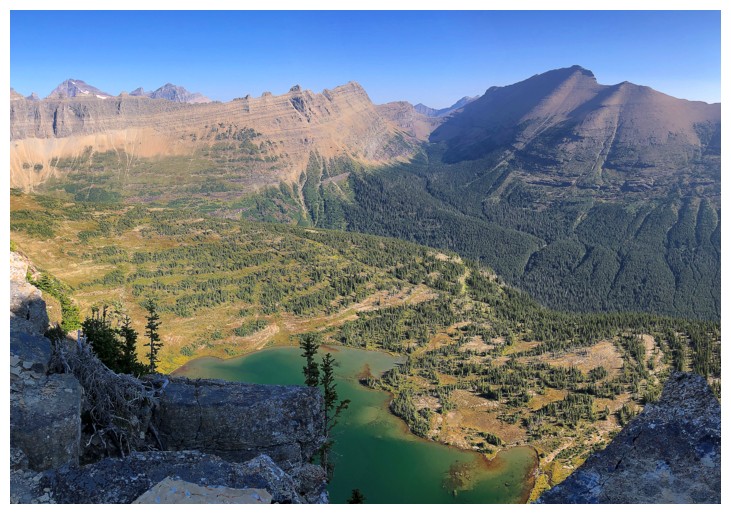
an unnamed lake directly below Bullhead.
As Passmore
suggests, returning the way you came could be quite the route-finding challenge
and so I took his recommended descent route via the obvious drainage between
Bullhead and Wilbur; but not before traversing the ridge towards Wilbur for a
while. With more time, exploring the area would have been very cool.
The alternate
descent went with ease. It was also a touch nostalgic, eventually intercepting part
of the route we took up Wilbur, 14 years earlier. Round-trip I ended up taking
5.25 hours. Without the extended ridgewalk near the summit, I may have been
able to do the trip in 5 hours, but I would need my 35-year-old body back to do
it in 3!
Great little
trip and I made it back into Canada by 1 pm!
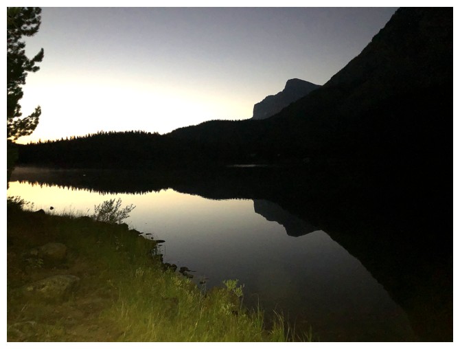
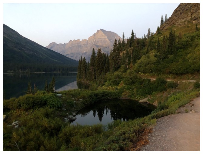
An early morning look at Swiftcurrent Lake
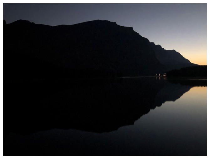
Same as above, with lights from the Many Glaciers Hotel
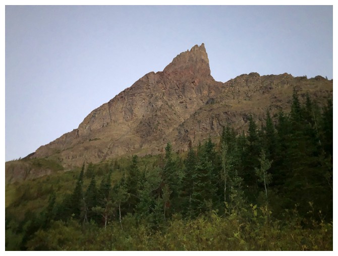
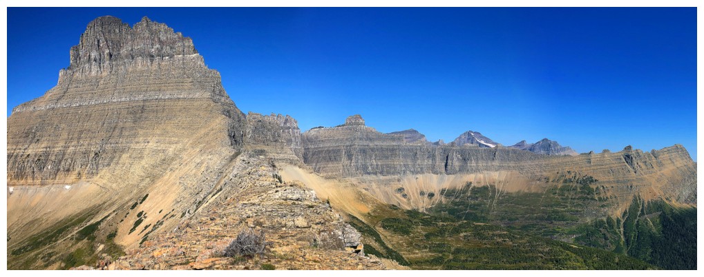
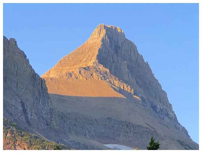
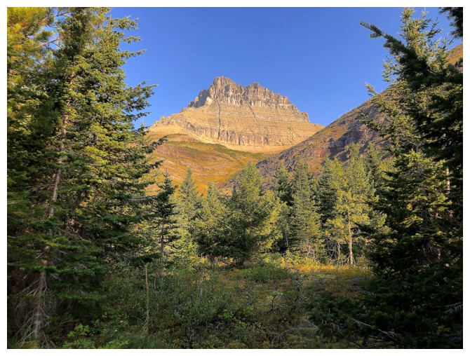
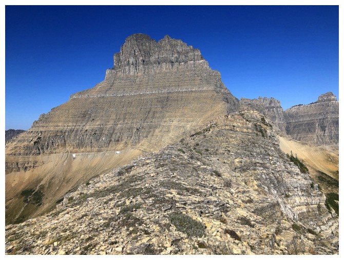
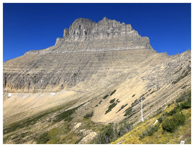
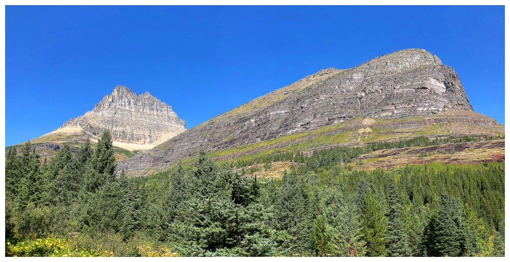
The southeast side of Grinnell Point
Mount Gould in the distance. Shortly after this was taken, I was heading back at a brisk pace!
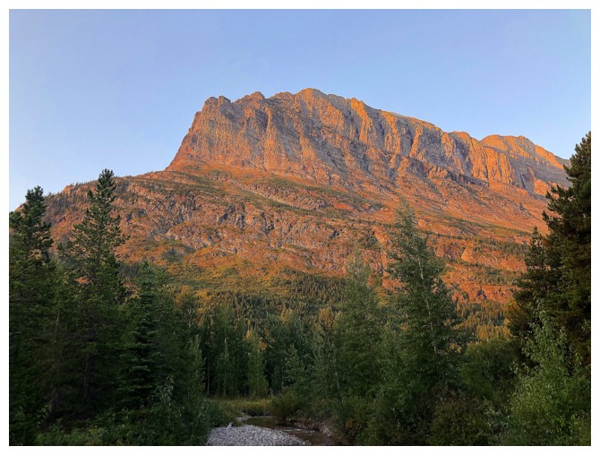
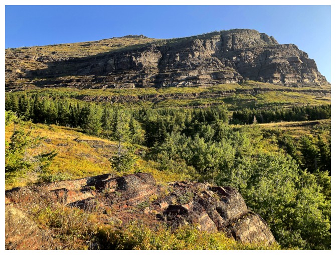
The northeast side of Grinnell Point from the Swiftcurrent Pass Trail
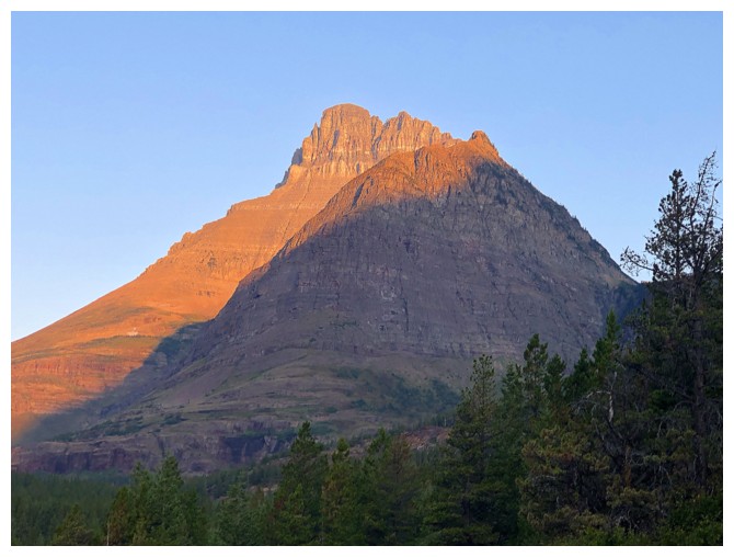
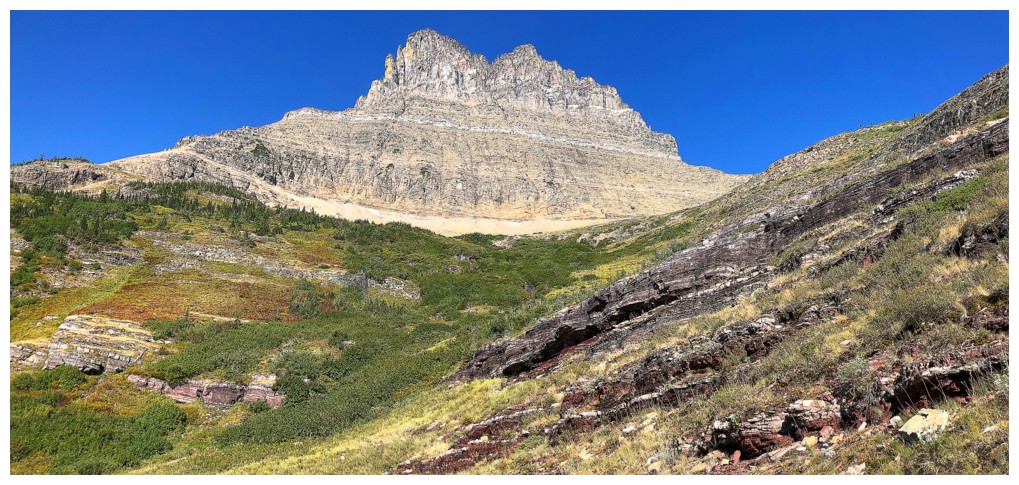
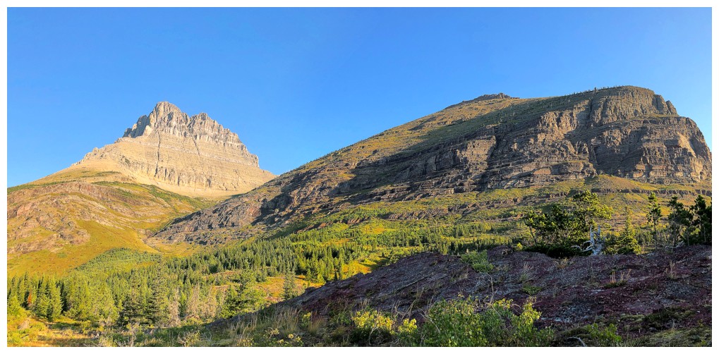
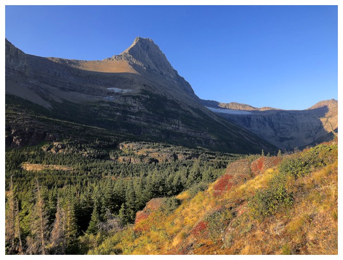
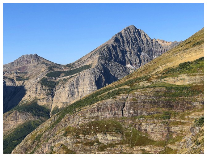
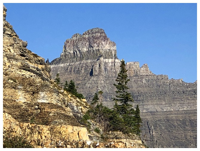
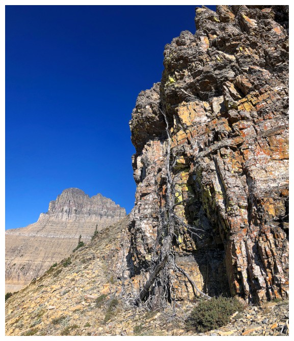
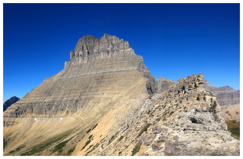
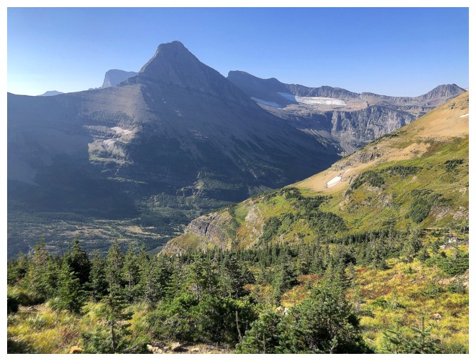
Mount Wilbur, with Bullhead Point in front
Mount Grinnell
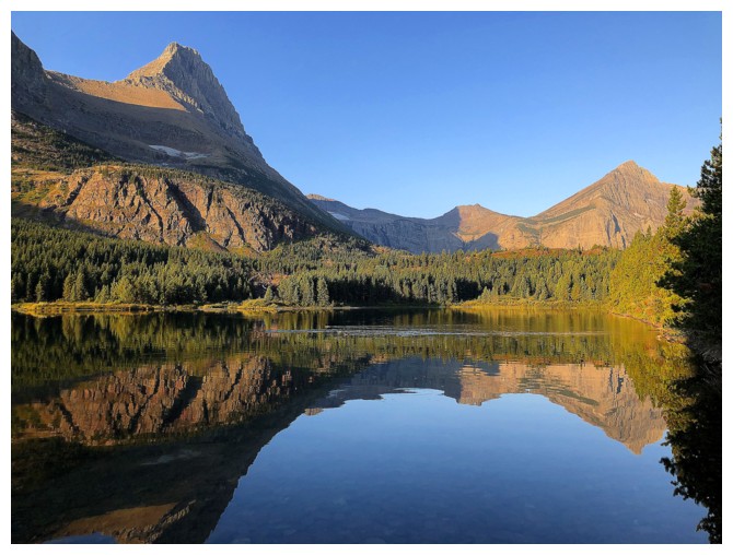
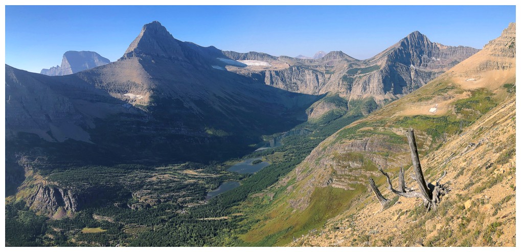
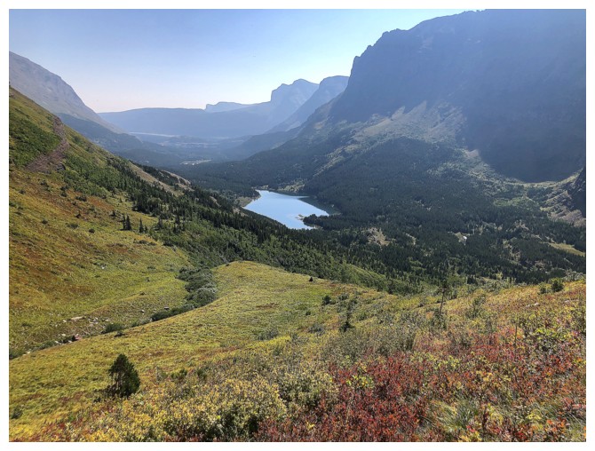
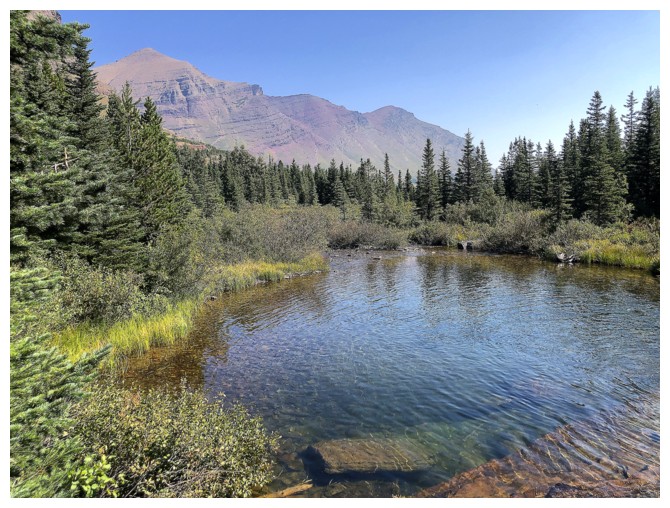
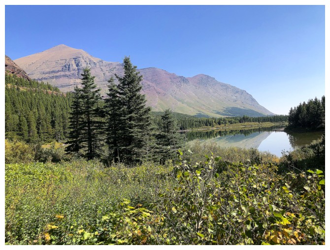
Grinnell and Swiftcurrent Mountain from the shores of Redrock Lake
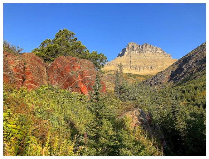
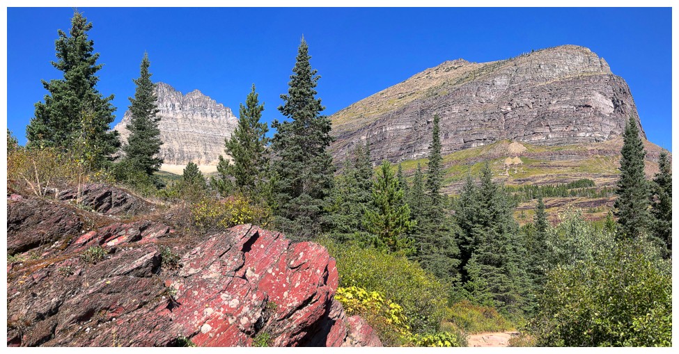
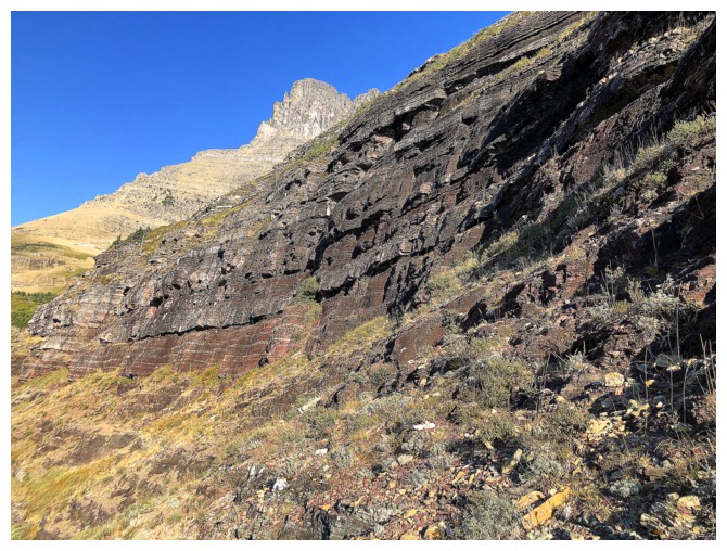
Into the dense bush, but at least there's some red argillite and a good view of Wilbur to distract me
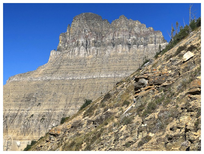
Wilbur and Bullhead Point. The bushwhacking from here to the ascent slopes was much worse than it looks.
Distracted again
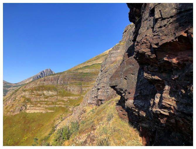
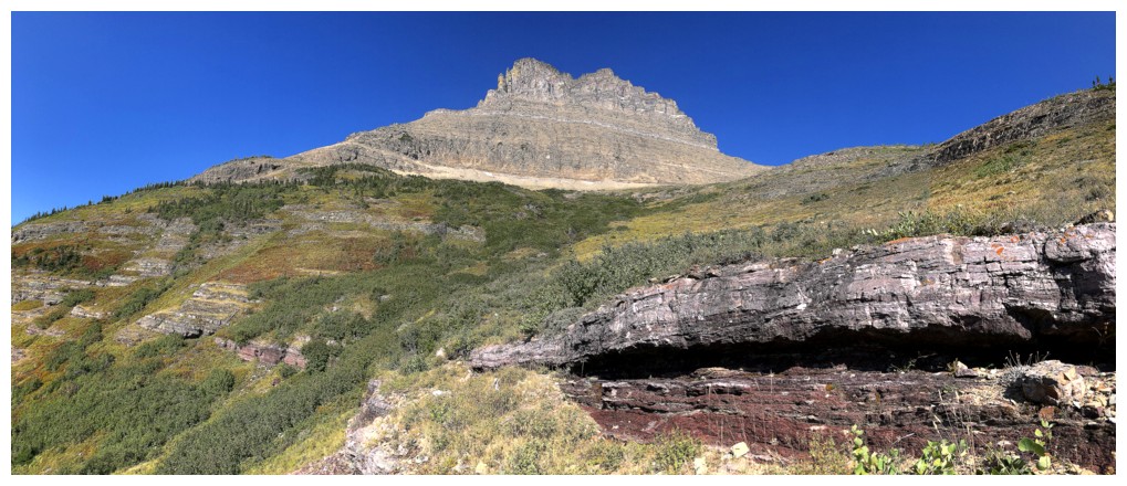
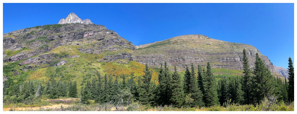
The route up Bullhead goes up near the left side
Distracted by Grinnell this time
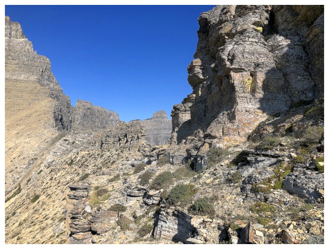
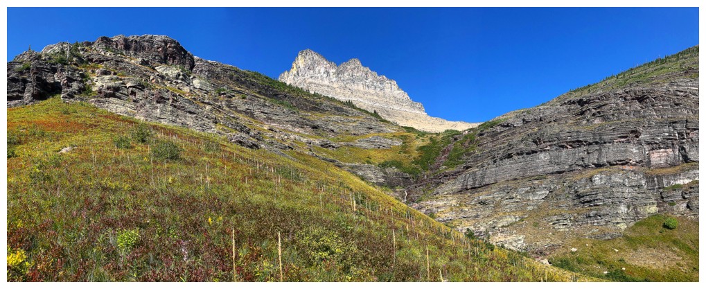
Traversing below the steep rocks bands, looking for a way up
There's an unseen route up ahead
Swiftcurrent Mountain
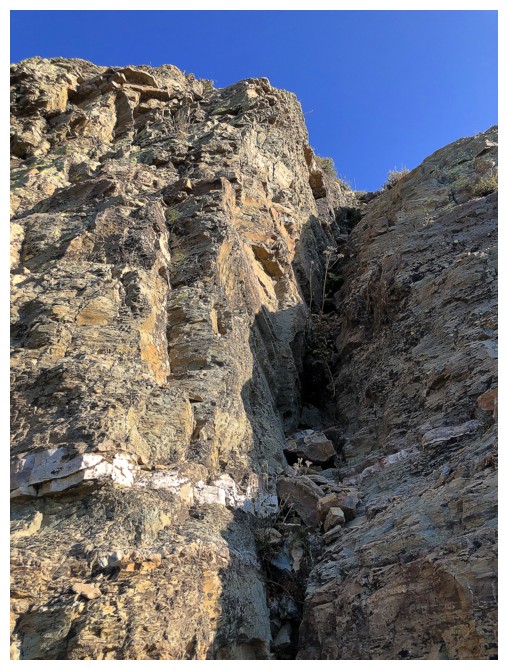
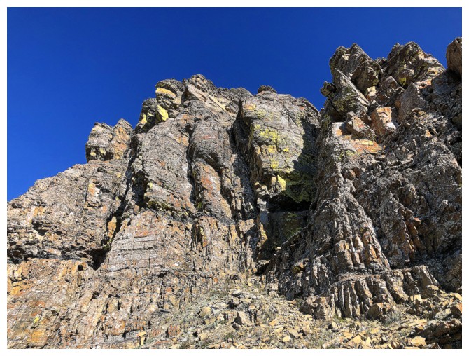
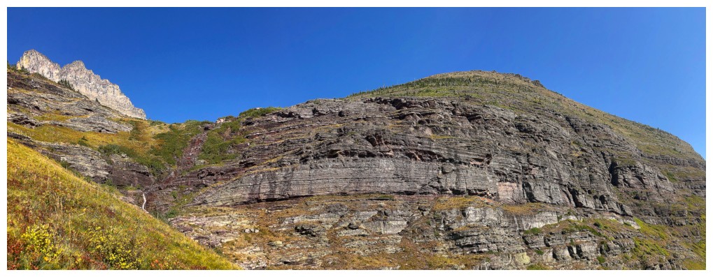
Typical terrain through the rock bands
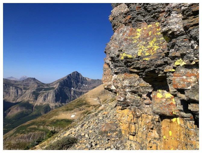
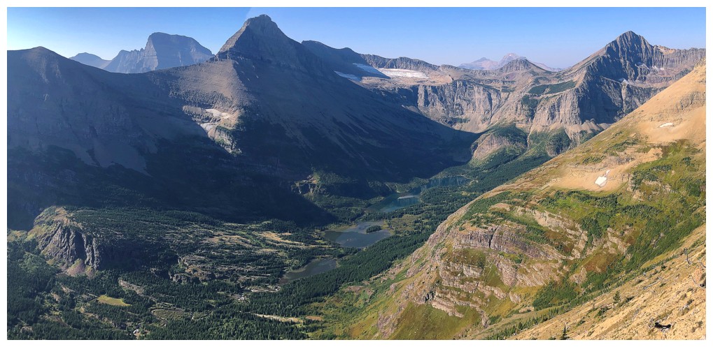
Views of the Swiftcurrent valley are pretty sweet throughout
Of course I can't take my eyes off Wilbur!
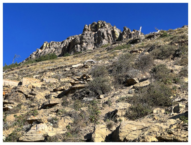
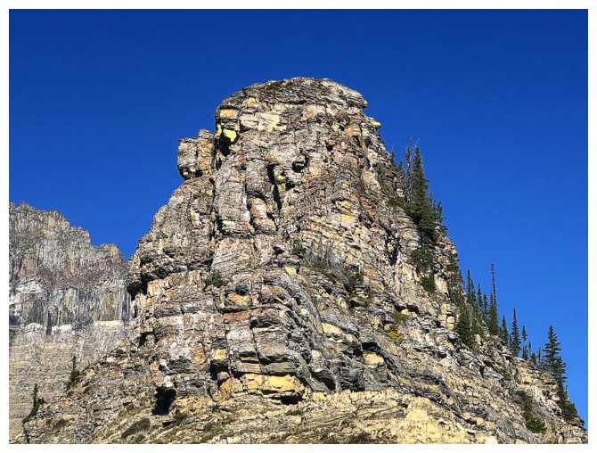
A zoomed-in shot of the summit block of Bullhead from above the rock bands. It's a steep and foreshortened slog to the base.
Finally on the ridge and checking out the view into the next valley. Crowfeet and Henkel are featured.
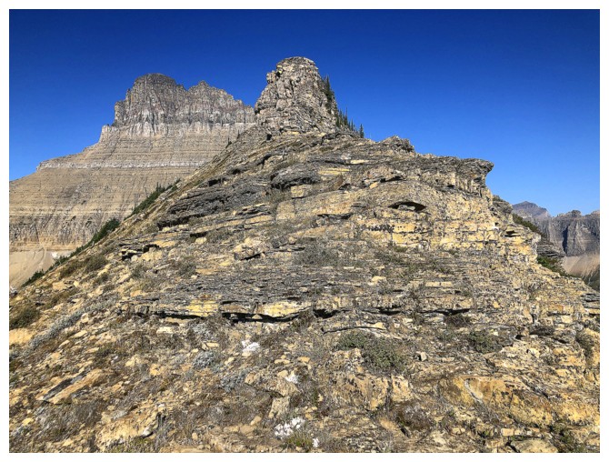
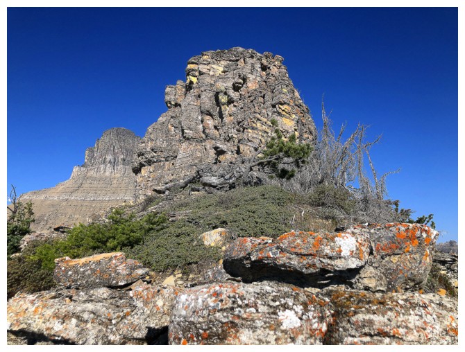
The east end of the summit block. The true summit is not visible yet.
The infamous B-7 Pillar, northeast of Wilbur. No easy routes up that one.
It was tempting to try to scramble up this, but the summit was still a distance away and I was already behind schedule
Traversed around it instead
Good thing as there's another steep buttress blocking the way
Traversed below this one too
Still traversing
Taking a breather to admire the view
The summit is actually past all the pinnacles and rock bands - good thing I traversed below them
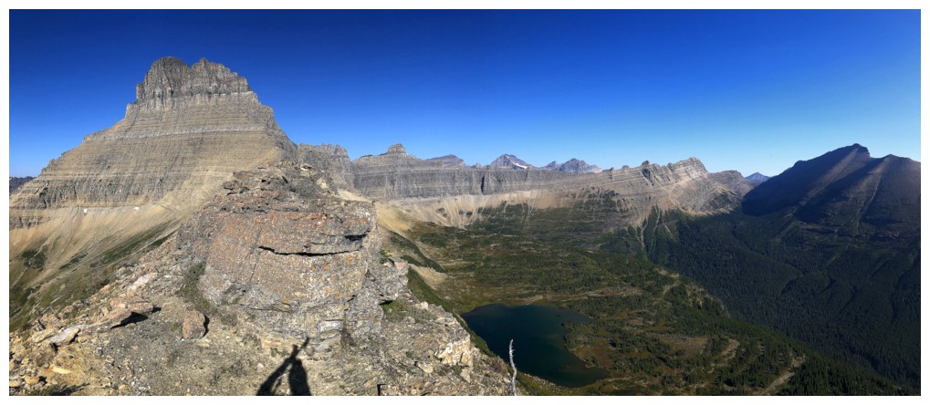
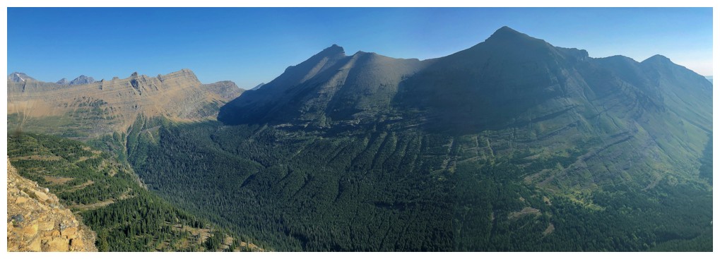
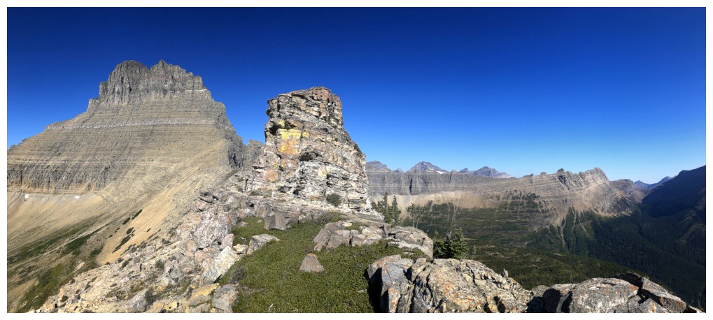
Summit pano
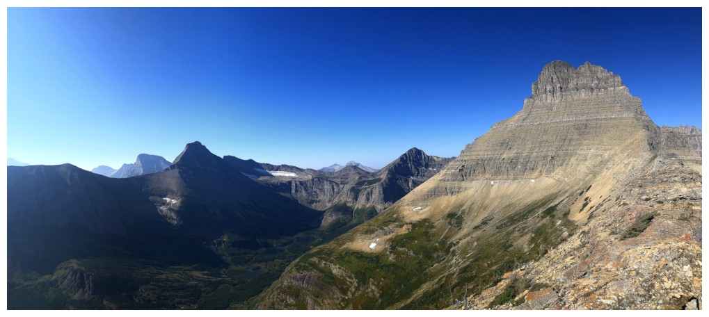
Same as above
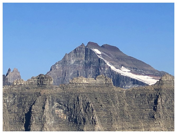
Spectacular Mount Merritt
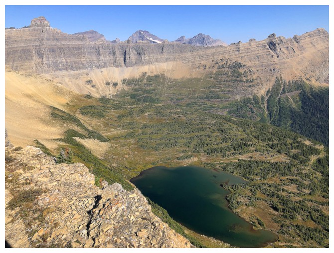
Beautiful unnamed lake below
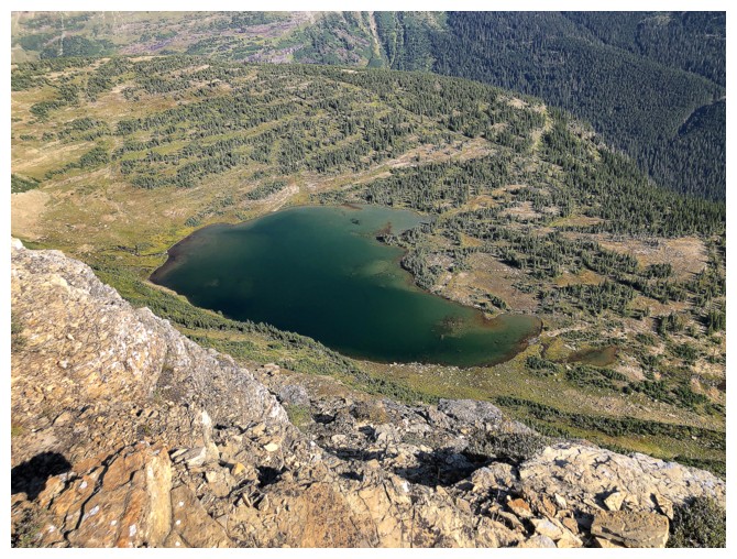
Close-up
Traversing further along the ridge before descending
B-7 Pillar through the gap
Had I more time I would have went all the way to the base of Wilbur's daunting northeast ridge
Different view of the lake
The best views of Wilbur were on descent
The descent route was straightforward and interesting
More Wilbur
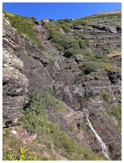
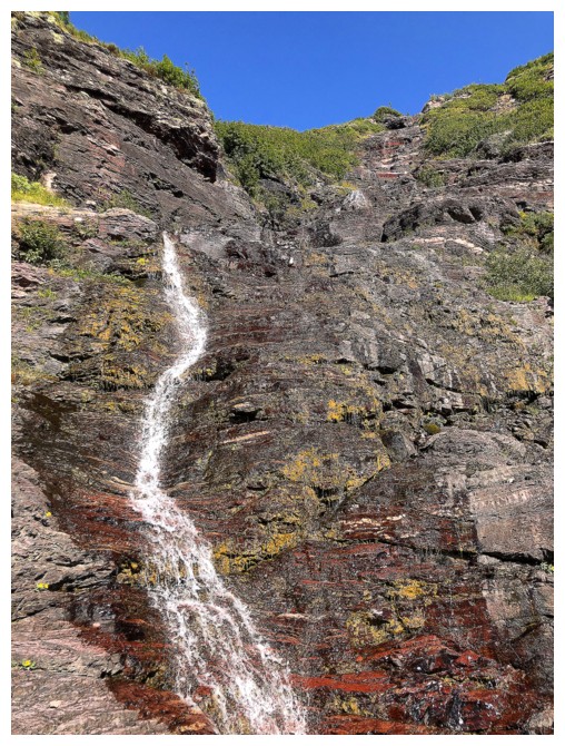
Nice waterfall down red argillite
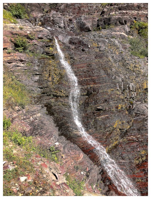
Same as above
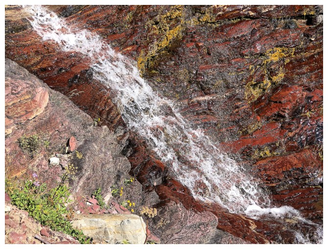
And again
Redrock Lake again
Different perspective of Wilbur and Bullhead
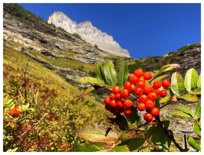
Berries and blurry Wilbur
Too bad I didn't get a commission for every time I wrote "Wilbur" in this report!
Won't even write it!
Back near the main trail
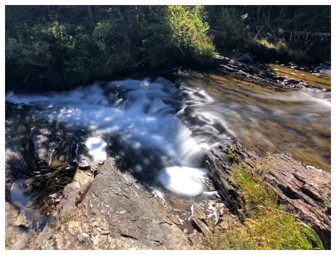
A very small waterfall
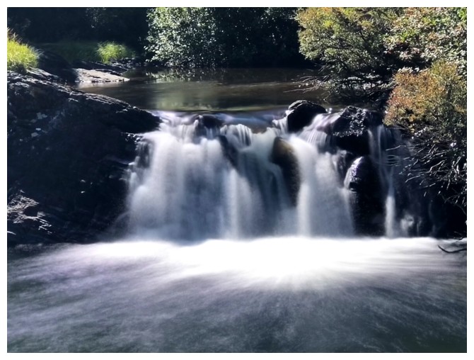
A slightly bigger one
Saying goodbye to you know who and you know you!
Pleasant scenery on the easy hike out
The End
LOG