Evangeline Peak
July 27, 2021
Mountain height: 2572 m
Elevation gain: normally
about 1500 m, but I took the entertaining 2200 m route!
Round-trip time: 9 hours
Solo scramble.
An odd day out,
for sure!
The goal of this
trip was the summit of Evangeline Peak, but instead of ascending the fairly mundane
southwest ridge, I wanted to first ascend Poplar Peak (Rum Ridge), swing around
to Evangeline, and then use the southwest ridge as a descent route. Given that
I had previously traversed most of the Poplar Peak ridge, but in the opposite
direction, I didn’t think I would have any issues.
But I did. Because
of the orientation of the rock on Poplar Peak’s narrow ridge, going in the opposite
direction meant downclimbing many of the difficult steps instead of upclimbing
them. I eventually reached one short, but very exposed downclimb that I dare
not risk. 43 year-old me would have went for it – 53 year-old me said, "No Way!"
Instead, I backtracked
and then lost of huge amount of elevation (almost 400 m) into the valley to the north before
slogging my way back up to the ridge between Poplar and Evangeline. From that
point, the summit of the objective was easily reached.
Worse than the
failure to complete the route I wanted, however, was the severe haze from forest
fire smoke. Views were obscured throughout. I fully expected less than stellar
conditions, in the midst of an awful forest fire season, but the lack of views was
still very disappointing. At least the southwest side of the peak did offer a
very easy way down.
Not the
experience I was hoping for, but got the job done – eventually!
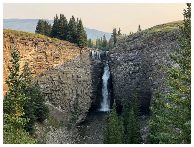
Big Ram Falls, seen near the beginning of the trip
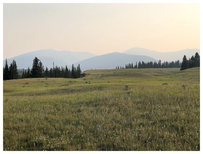
That doesn't bode well for good views
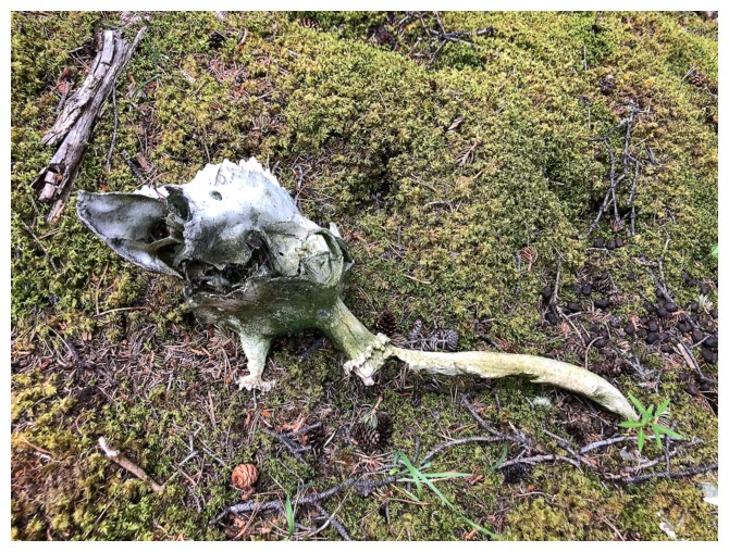
That doesn't bode well for the animal it once was!
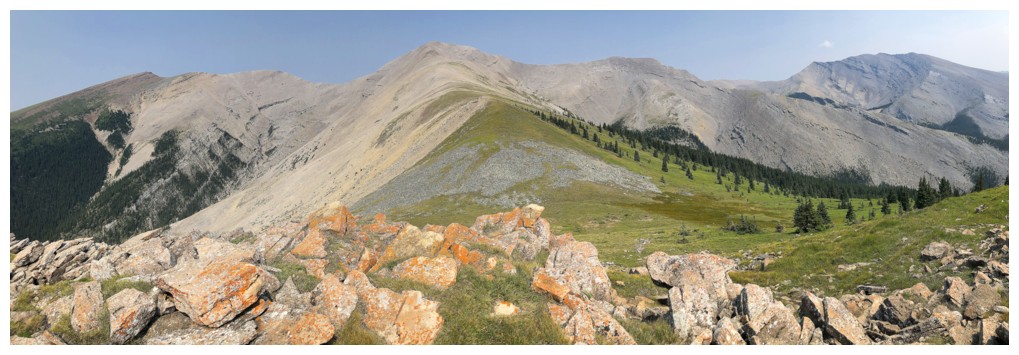
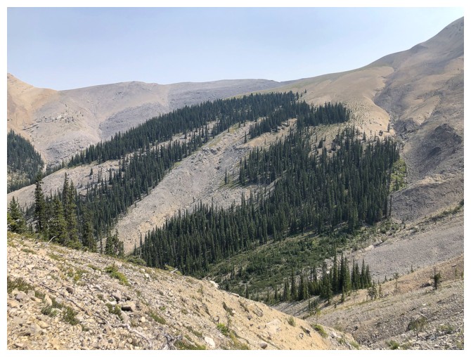
A few hours into the trip, some of the route up Poplar Peak is revealed
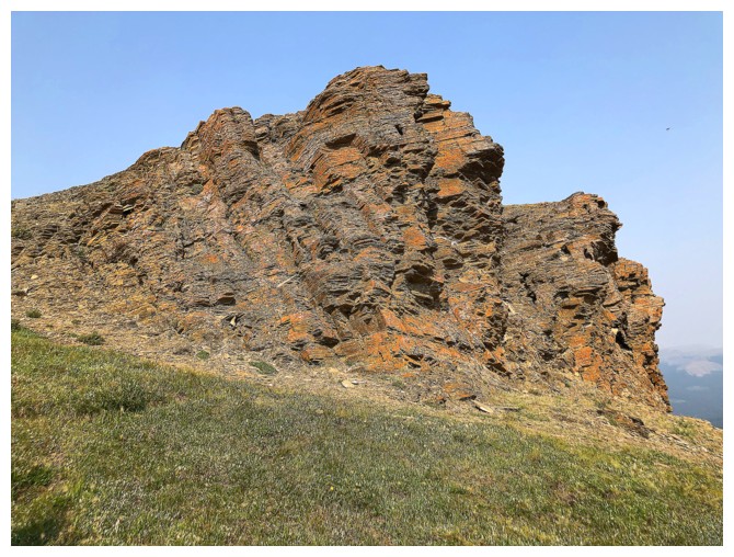
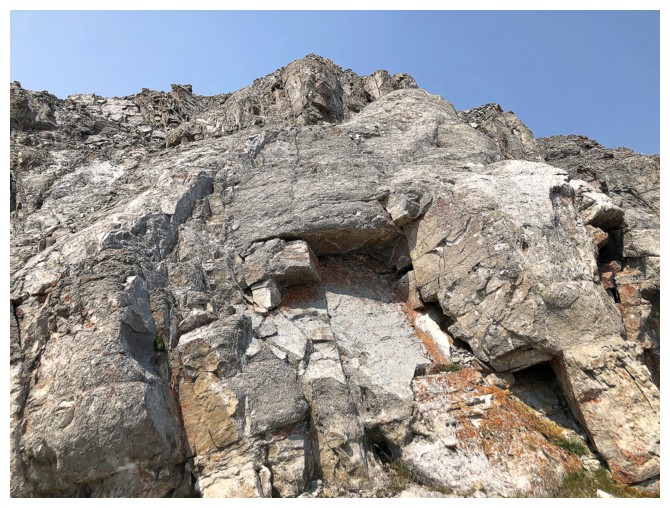
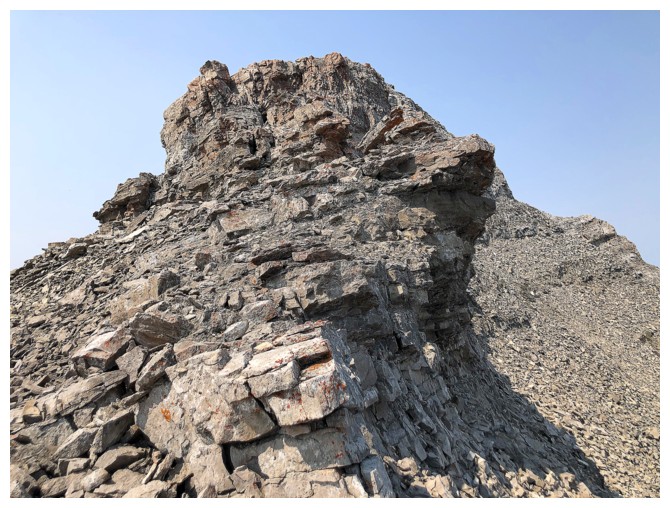
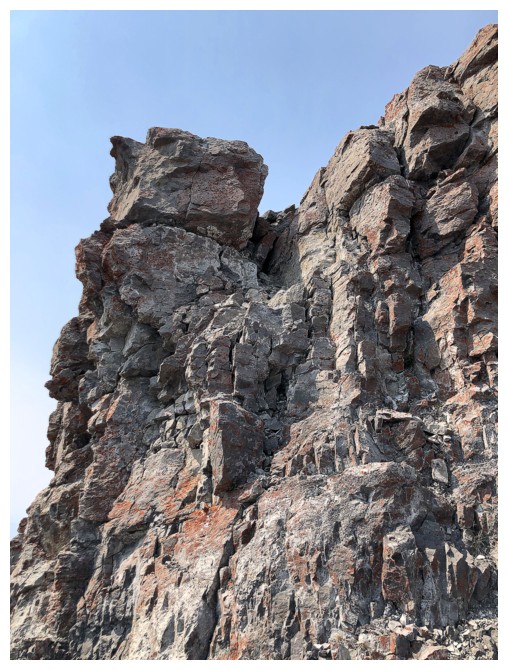
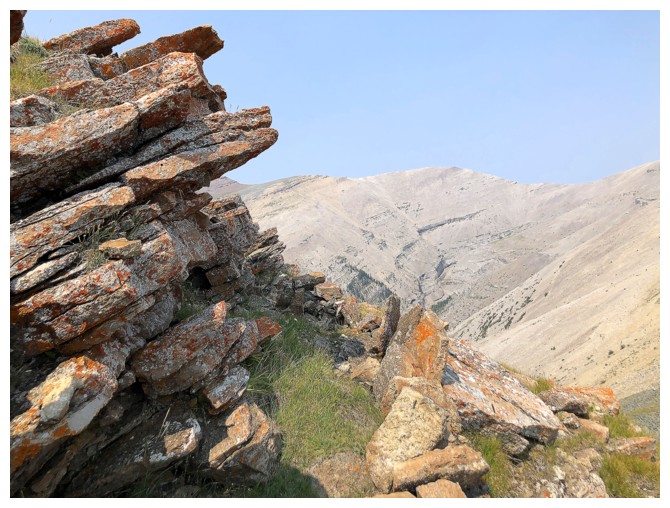
A nostalgic run-in with the lichen-covered rock band Doug, Ken, Jason, and I encountered on an awesome day in 2018
Same as above
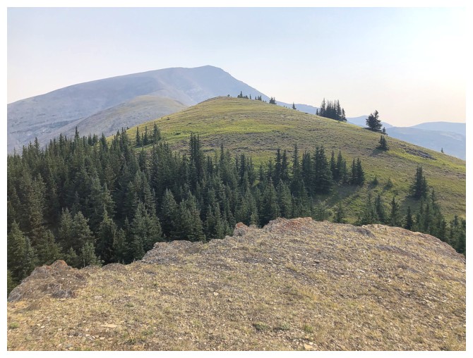
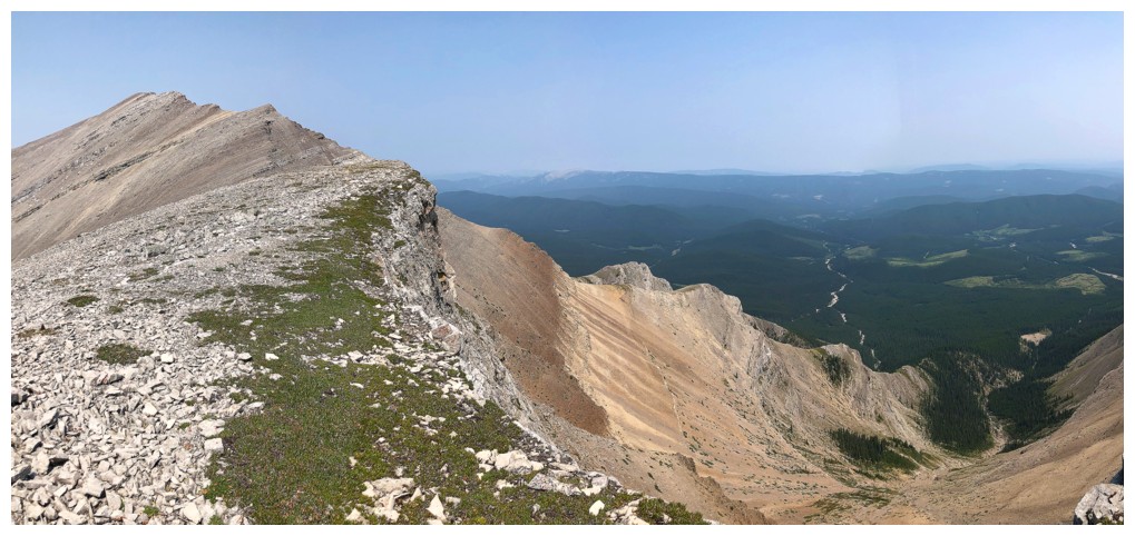
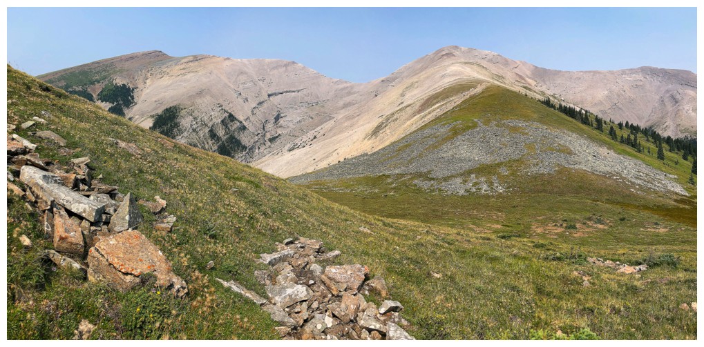
The route ahead looks easy but eventually the ridge narrows considerably
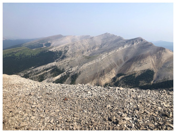
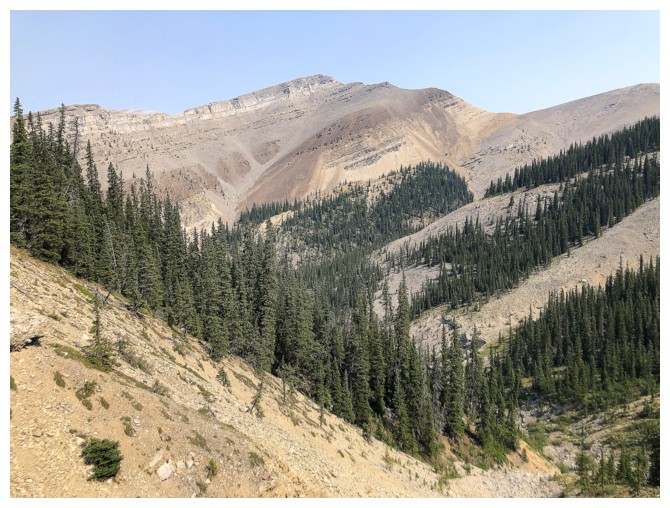
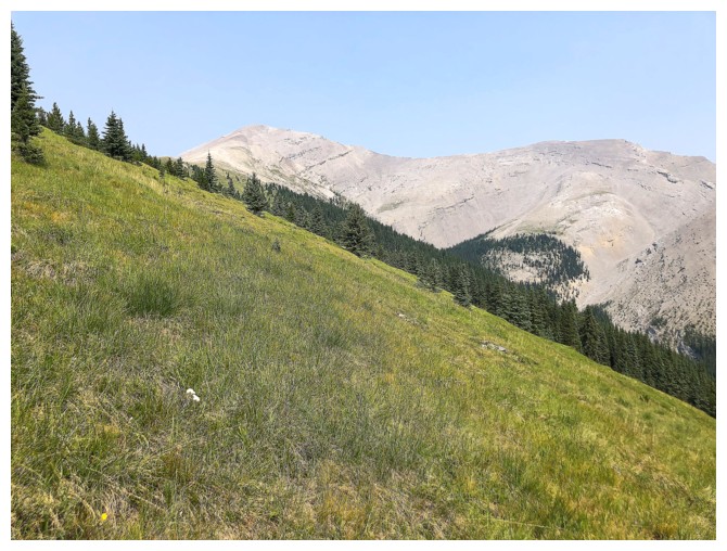
Evangeline Peak to the north
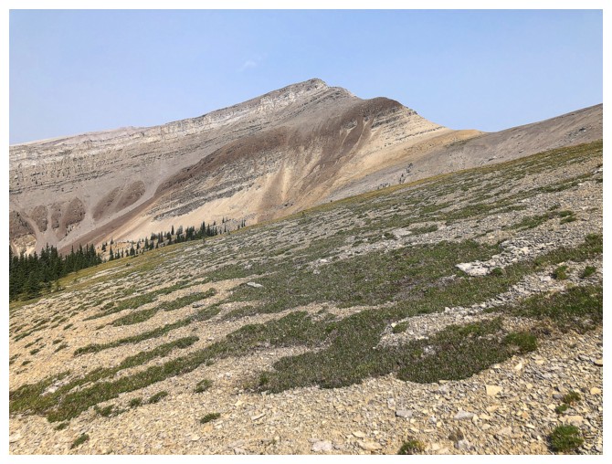
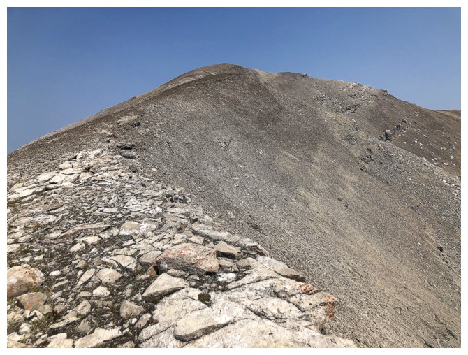
Getting close to the narrowing
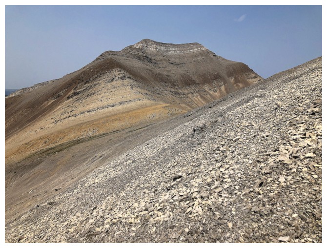
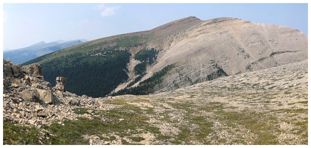
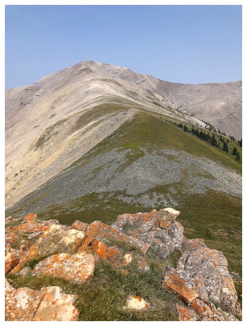
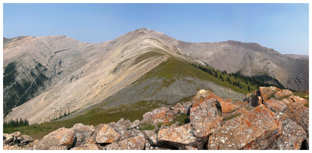
Poplar and Evangeline

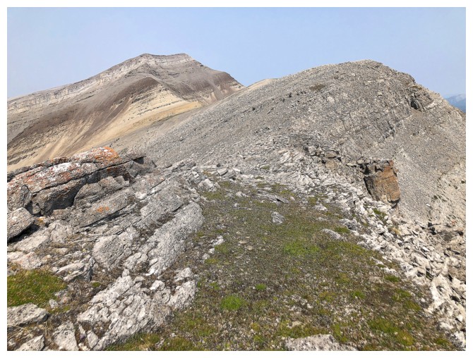
Hazy views of Eagle and Maze
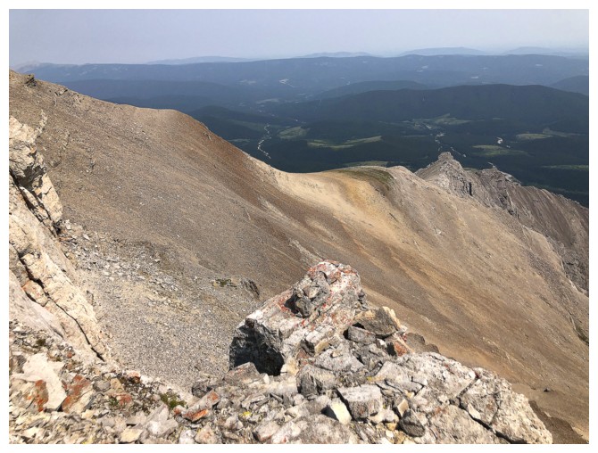
Looking longingly at Evangeline, having backed-off the ridge
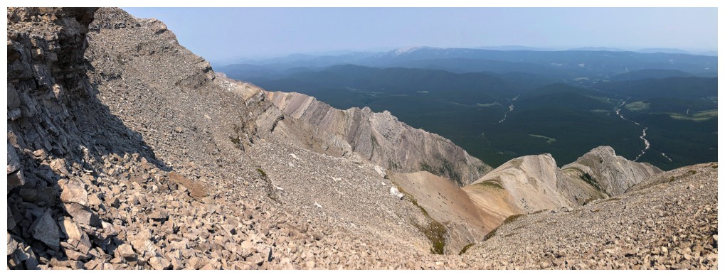
Descending into the valley below
Still descending
Back up the other side
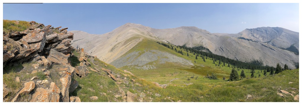
Finally on the ridge between Poplar and Evangeline
It's still a ways to the summit but travel is easy
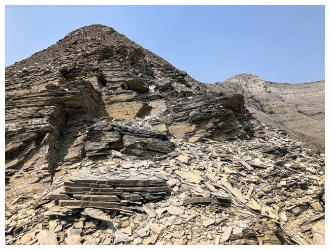
Lots of shale in this neck of the woods
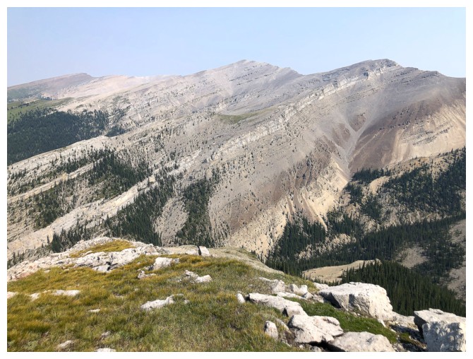
The northeast side of the peak is quite interesting
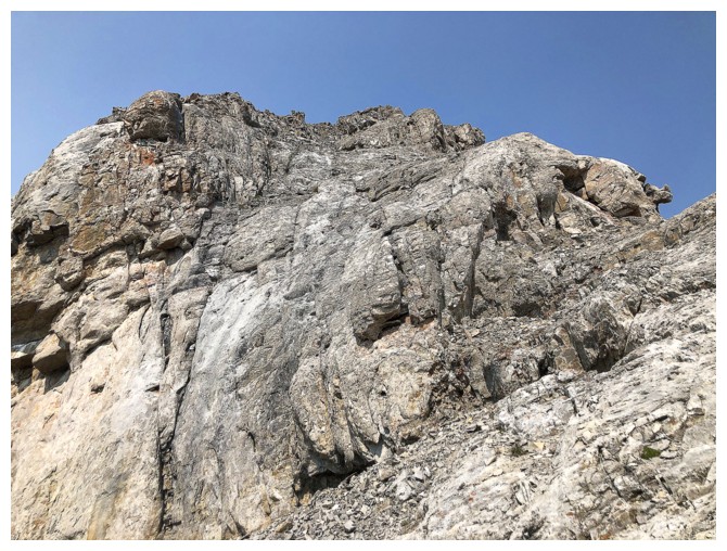
One of the few sections of scrambling
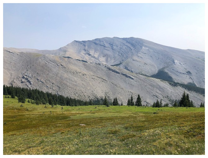
Looking over to Poplar
Another section of scrambling
The northeast side again
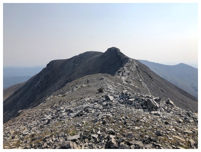
Summit in sight
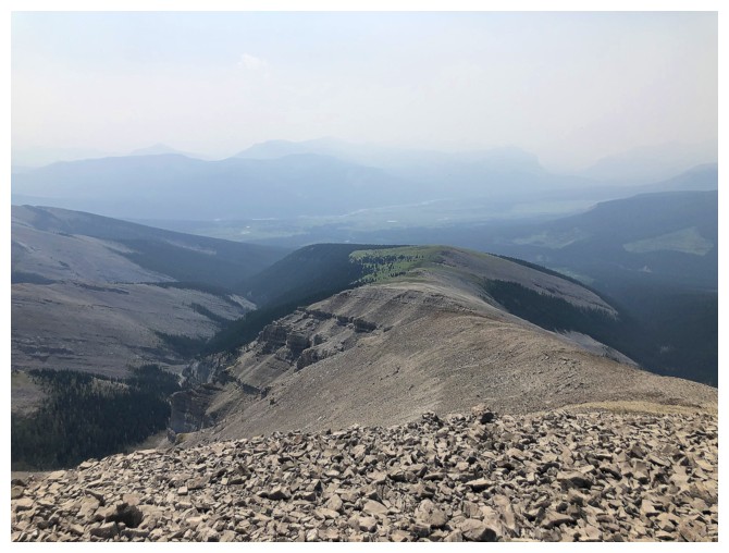
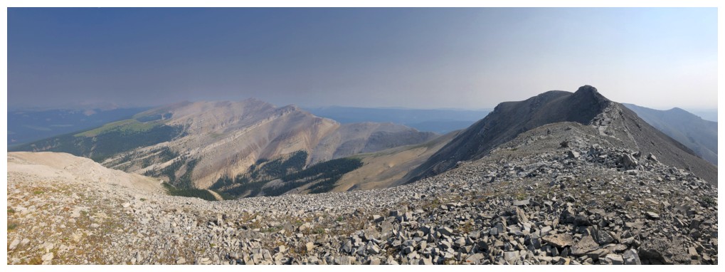
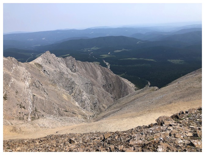
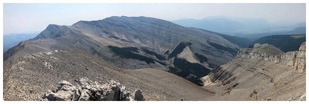
The depressingly hazy summit view to the southwest
Poplar is pretty much the only thing you can see to the southeast
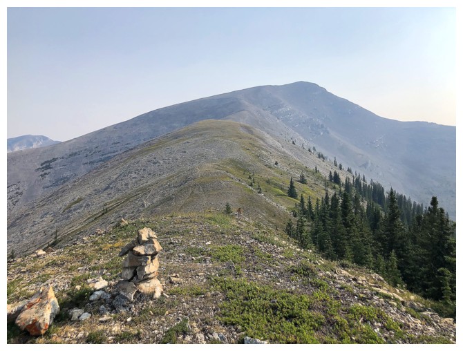
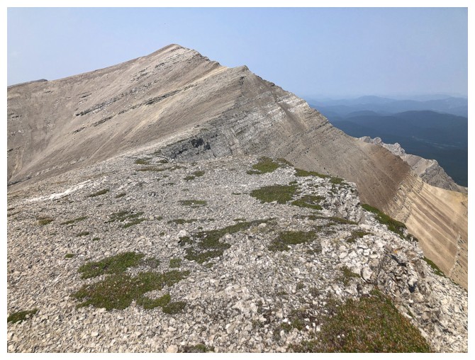
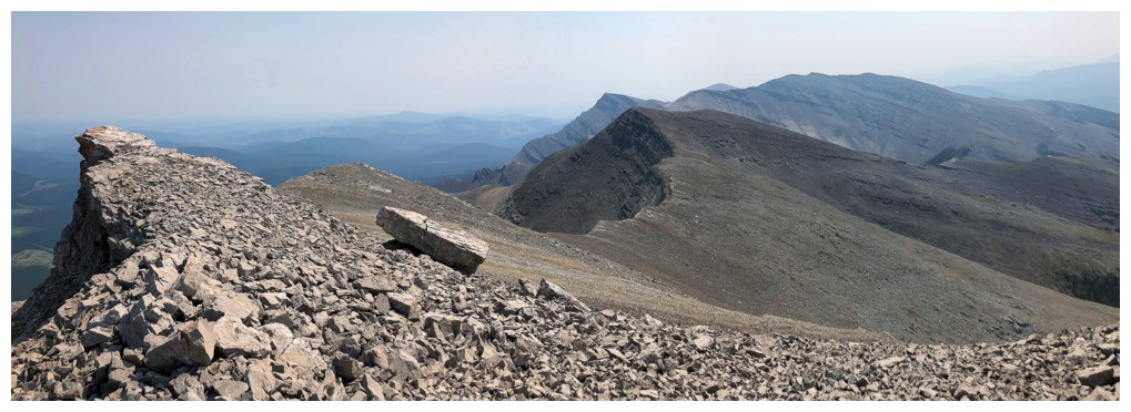
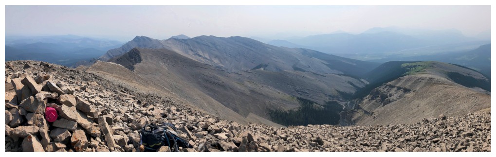
The ridges continues to other summits to the northwest
Descending
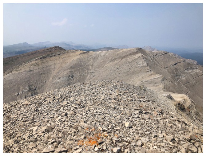
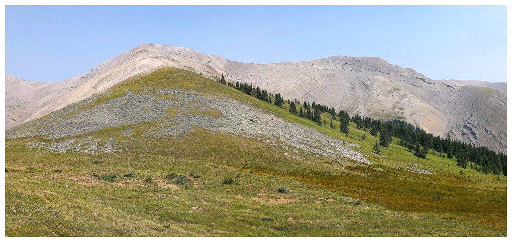
The next summit to the northwest
Poplar
Looking back to Evangeline
Same as above
Same as above. This area was the scenic highlight of the trip.
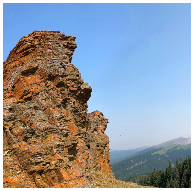
...courtesy of the small section of lichen-covered rock
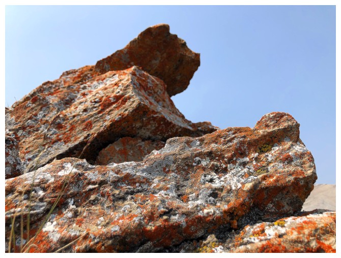
Close-up
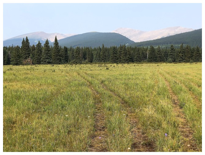
Open, grassy slopes helped to make easy work of some of the descent
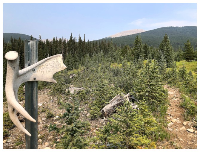
Back at the famous Poplar Ridge sign
Parting look - still hazy
The End
LOG