Mountain height:
2458 m
Elevation gain:
normally 1000 m, but we took the scenic1500 m route!
Ascent time:
6:30
Descent time:
2:15
Scrambling with Mark.
After a successful ascent of
To avoid the difficulties we encountered trying to cross Mill Creek last year, we dragged along our hip-waders. Right at the beginning, instead of following the ATV trail, we took a slightly more circuitous route, following a horse trail. It turned out to be a good decision, as the trail ascended the valley a short distance away from the creek and so all the crossings except for the last one were avoided. We arrived at the Creek thinking we had one obstacle to get by before a good trail led us to the start of the ascent route. Surprisingly, we weren’t even granted that one obstacle – the creek was bone-dry – it striking contrast to its high level last October.
Once on the mountain, we took a direct route to the ridge. The ridge itself was beautifully scenic – like Syncline the day before a blue sky, a little snow, yellow larches, and the striking rockbands up ahead, made for some stunning scenery. As we approached the first the rockband, it quickly became apparent that we would searching for a route around it, not a weakness in it. The band was huge and vertical and even with the climbing gear we brought with, we were not going to be getting straight up this one.
We searched for a way around the band, but all routes were blocked by vertical rock. Finally, we had to give up and decide how to proceed. The only feasible route, at this point, involved losing a tremendous amount of elevation, and neither of us were happy about that prospect. We decided to start heading down and then see how we felt once at the lowpoint. Losing the elevation was pretty easy on good scree and we did manage to avoid a little bit of the loss by scrambling up a rockband earlier than expected.
Thankfully, the variety the rocks colours on this side of the mountain was terrific and helped to motivate us. We worked our way back up the mountain, but soon arrived at another impasse and had to retreat again. This loss was not as big as the first and when we were able to start back up, much of the route towards the summit looked to be straightforward. It was, except for the black band right before the summit. We ascended alongside it all the way to the ridge before ascending the band up a weakness. Atop the weakness the summit was only about ten steps away and after 6.5 hours of routefinding, going up coming down, and then repeating the process, we were both elated, to say the least, to reach the top.
After an enjoyable summit stay in perfect weather, we started down one of the best descent routes in the area - the same one Linda and I had tried to ascend on our first attempt, and the one we had used as a descent route last year. The route boasts excellent scree-surfing on red argillite and is fast and fun. An easy return to the car ended a great day and an outstanding weekend.
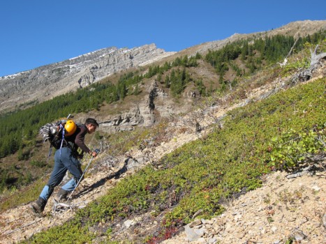
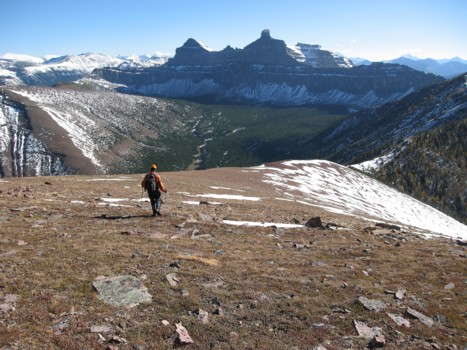
The slog to the ridge begins; the steep rockbands of the northeast ridge visible in the centre
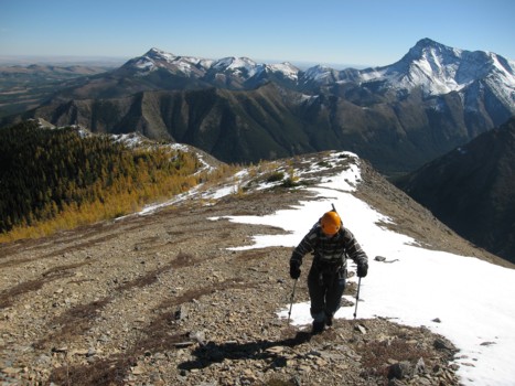
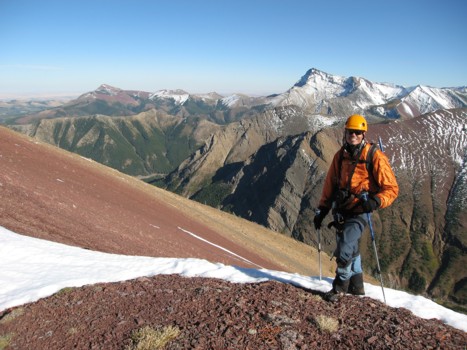
On the ridge
Looking the other way on the ridge
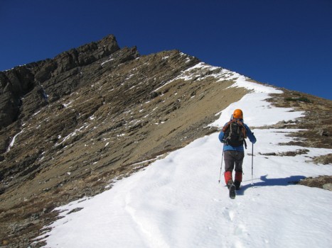
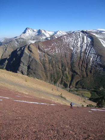
Approaching the rockbands
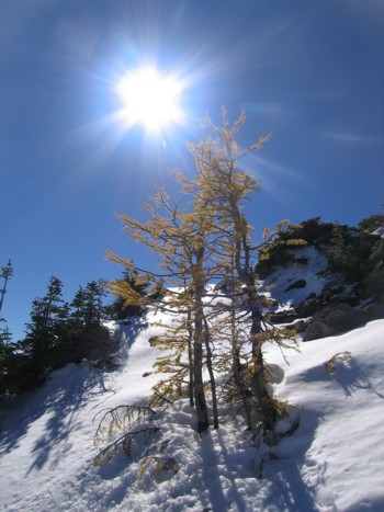
Larches and the sun
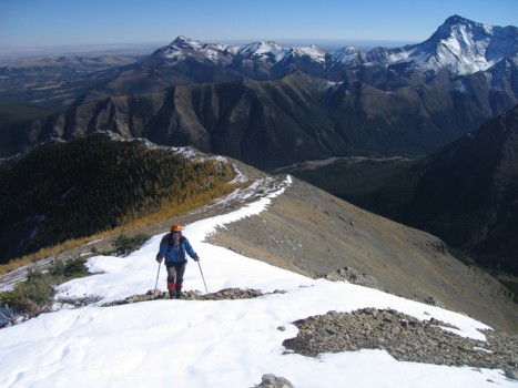
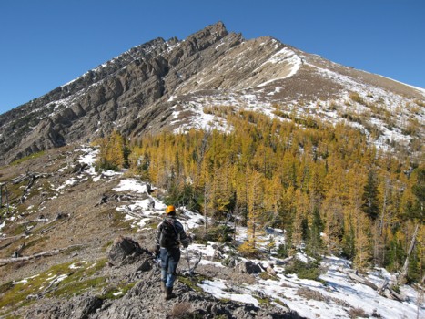
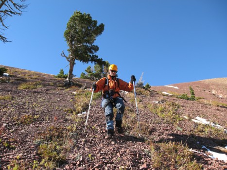
Mark hikes up the ridge
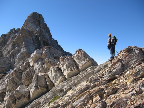
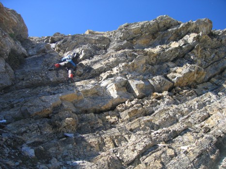
Examining the first rockband
Scrambling towards it
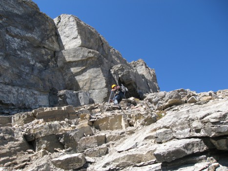
Mark scrambles up a rockband much lower on the the mountain
Losing more elevation after hitting another impasse
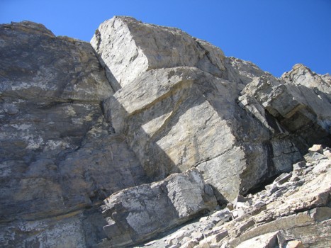
Some beautifully sheer rock
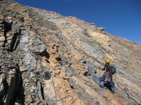
Colourful layers of rock en route to the summit
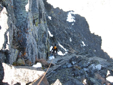
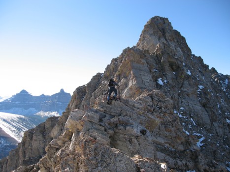
Mark belays me up the final obstacle before the summit
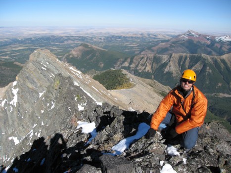
At the summit, with the northeast ridge to the left
The same with Victoria Peak to the right
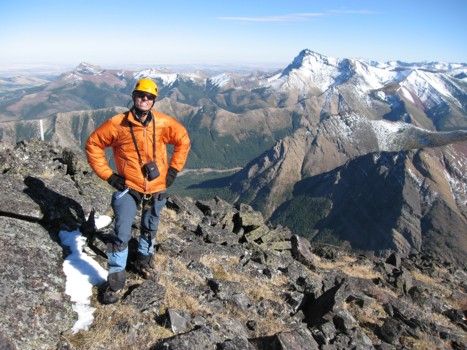
Mark at the top
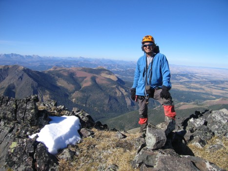
Starting the descent
Getting ready for the best scree-surfing around
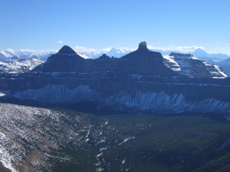
Windsor Mountain (left) and Castle Peak (right)

A closer look at Castle Peak
Mark bombs down the slope!
My turn to surf
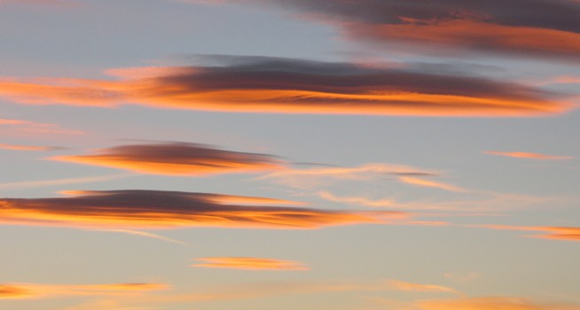
Beautiful colours in the evening sky