“North Kootenay Point”
“North Kootenay
Mountain”
July 13, 2020
Mountain heights: 2240 m, 2400 m
Elevation gain:
approximately 1300 m
Roundtrip time:
approximately 7 hours
Solo scramble.
North Kootenay Pass was recommended to me by
the King of Southern Alberta hiking, Joey Ambrosi. I thought that if the North
Kootenay Pass was only half as interesting and scenic as it’s brothers Middle
Kootenay Pass (southeast of Mount Haig) and South Kootenay Pass (south of
Kishinena Peak), the trip would still be a resounding success. There also
existed the possibility of making the summit of Hollebeke Mountain, as beautifully documented by All Stone Adventures. The final attraction of this trip was the “bikeability”
of much of the trail (“ebikeability” in my case!)
 I parked about 4 km before the North Kootenay
Pass trailhead, not wanting to test the clearance of my car on what appeared to
be a rough road. Good decision. Although the road was driveable, it would have
been a very slow drive and timewise longer than cycling it. The next 4 or so km
were great for (e)biking also.
I parked about 4 km before the North Kootenay
Pass trailhead, not wanting to test the clearance of my car on what appeared to
be a rough road. Good decision. Although the road was driveable, it would have
been a very slow drive and timewise longer than cycling it. The next 4 or so km
were great for (e)biking also.
Reaching an unbridged crossing of the
Carbondale River I decided to ditch my bike. Mr. Ambrosi states that the trail
is steeper and rougher from here and I felt two feet would be preferable to two
wheels. The remainder of the ascent to the pass unfolded with ease. En route a
significant peak to the north (Centre E3 or "North Kootenay Mountain") did catch my attention, which I would put on the
back burner for the time being.
Perhaps the most interesting aspect of this
trip is that the pass represents the very clear delineation between two major geological
faults: The Lewis Thrust to the south (the big slab of very old and super
colourful layers of rock that makes up The Castle, Waterton, and Glacier
National Park, Montana) and the McConnell fault to the north (the predominantly
grey limestone rock that makes up pretty much everything to the north). Needless
to say, my attention wandered most often to the colourful south!
Views from the pass were very respectable,
although the overcast skies did their best to dampen them. Still with lots of
energy I decided to check out the first high point to the southeast of the
pass. Given the seemingly colourful nature of the Hollebeke ascent, that
extension would be put on hold until I could return with clear skies.
The high point was easily reached and sported a
terrific view. Scowling a bit that the weather hadn’t cooperated I returned to
the pass and started the descent. That was until the peak I had seen earlier
beckoned. North Kootenay Mountain yielded with relative ease, although it was quite
foreshortened. Nevertheless, that foreshortening meant the peak rose to a
respectable elevation of just over 2400 m (respectable for the area anyway!)
and another terrific summit view.
I had already seen a potentially more direct
route back down to the North Kootenay Pass trail and it worked like a charm. A
very exhilarating bike ride back brought to an end an enjoyable day of
exploration of new terrain.
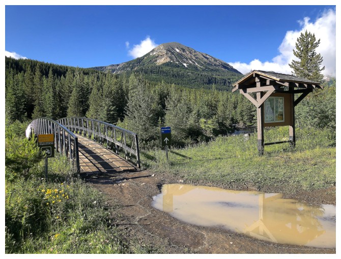
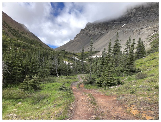
4 km of biking and the The North Kootenay Pass trailhead is reached
Hoping the clouds ahead will dissipate
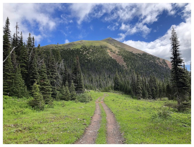
Passing the summit of North Kootenay Mountain. This line up the peak looks very interesting.
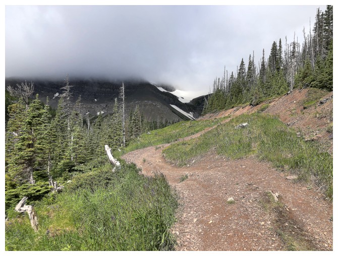
So much for cloud dissipation!
Looking back to North Kootenay Mountain
North Kootenay Pass in the distance
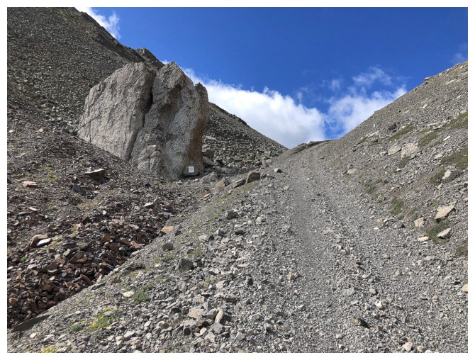
Last few hundred metres before reaching the pass. Note the plaque on the huge boulder
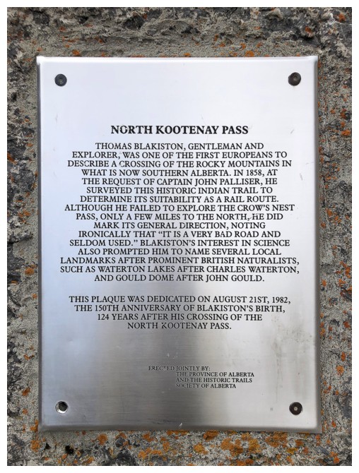
The plaque. A nice tribute to explorer Thomas Blakiston.
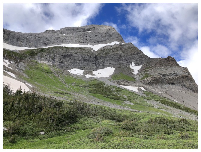
Hollebeke Mountain
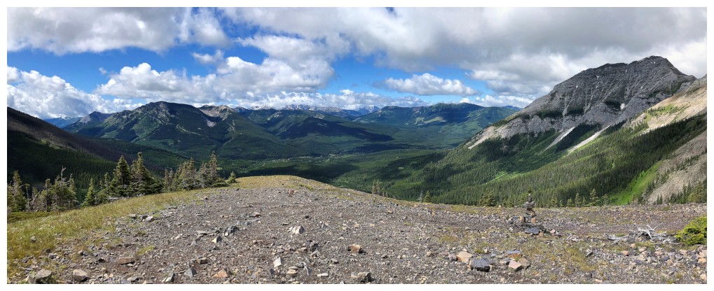
View to the southwest from North Kootenay Pass. Mount Borsato at the far right.
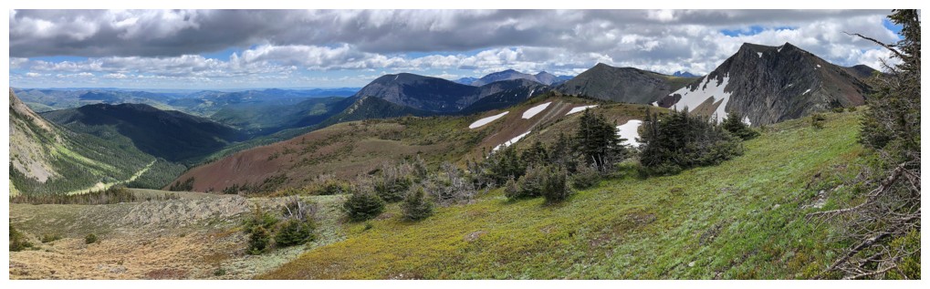
View to the northwest. Lots of significant but unnamed peaks.
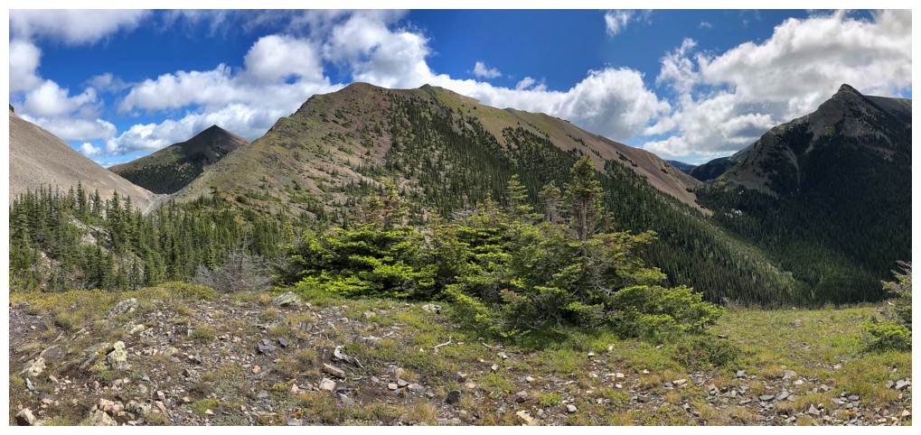
North Kootenay Mountain (distant left), North Kootenay Point (centre) and Hollebeke Mountain (right)
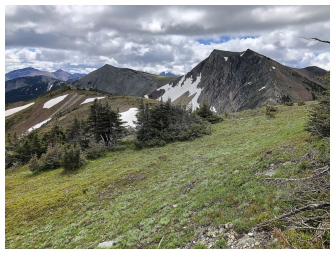
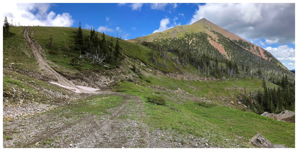
Heading to North Kootenay Point
Easy but fun ascent route
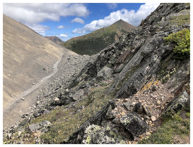
The trail to North Kootenay Pass below
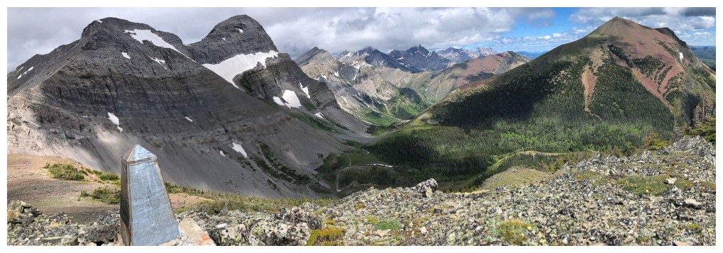
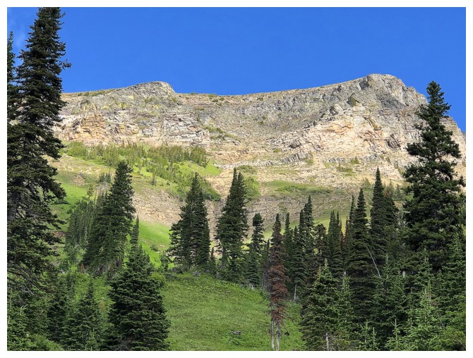
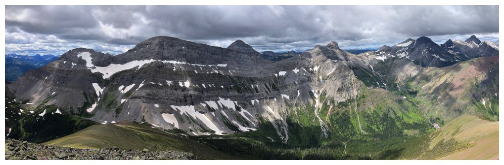
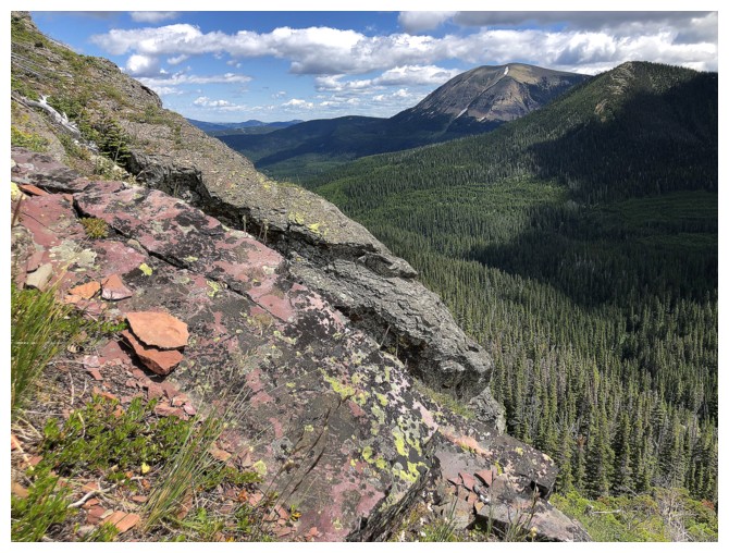
The delineation between the geological faults is very clear here
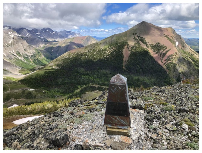
A boundary marker and North Kootenay Mountain
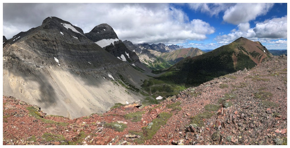
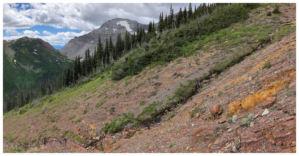
View towards Hollebeke (far right) and Mount McCarty (centre)
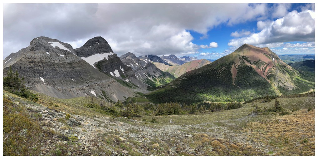
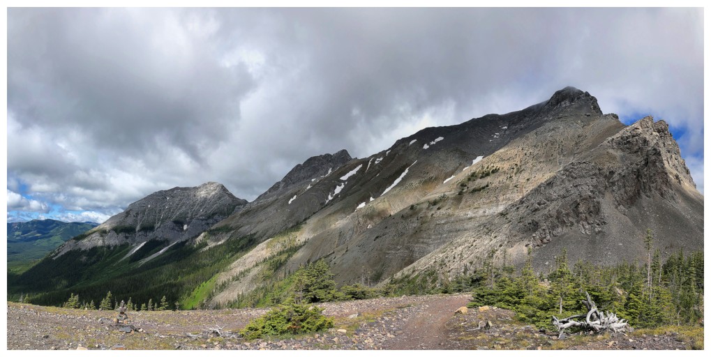
The Flathead Range (left to centre) stretches far to the north. North Kootenay Mountain at the right.
Hollebeke was very tempting
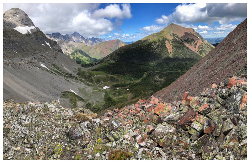
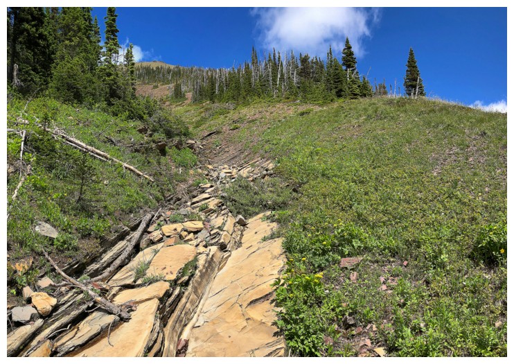
Descending the red argillite slopes of North Kootenay Point.
Nothing but gray limestone to the northwest.
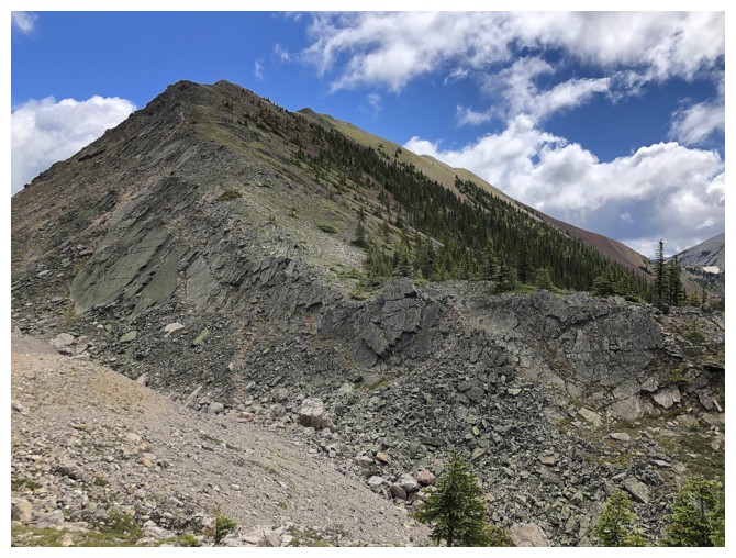
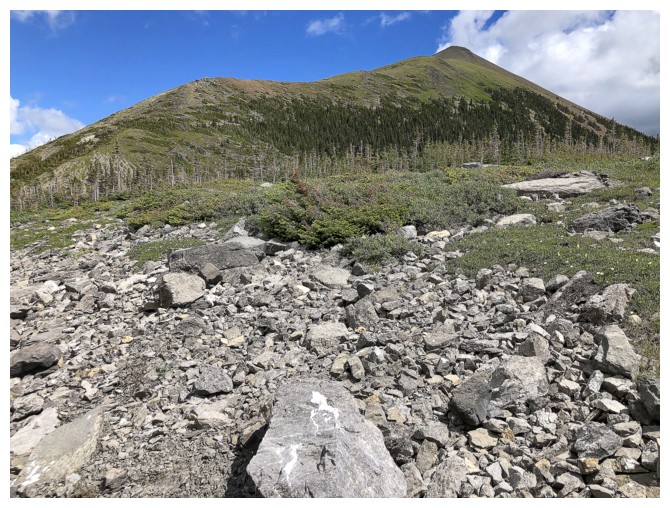
An ascent of North Kootenay Mountain from this point was irresistible
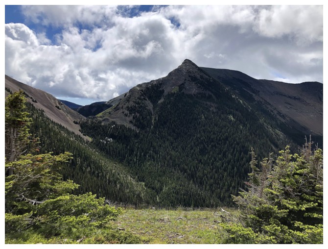
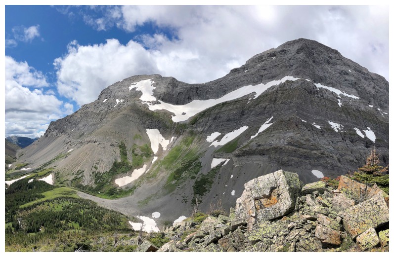
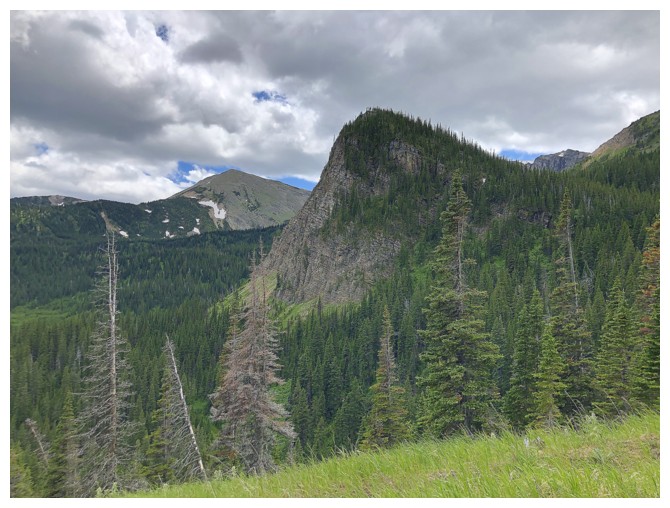
Centre SE1 is quite an impressive peak
Not as simple as it looks. There are some ups and downs and minor bushwhacking to get onto the easy west ridge.
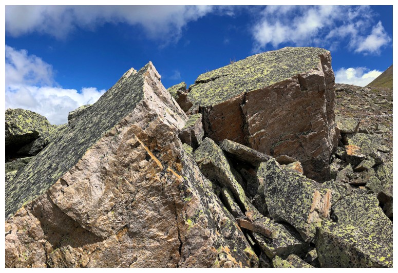
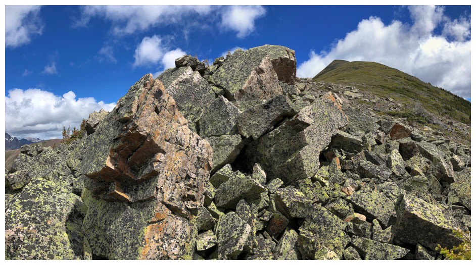
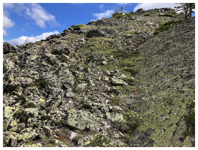
Awesome lichen covered rock
Ascending North Kootenay Mountain certainly increased my interest in all the unnamed peaks north of the pass
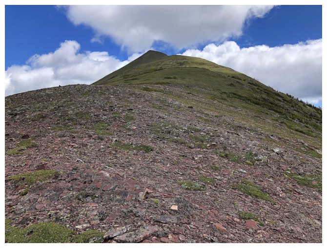
Super easy from here to the summit
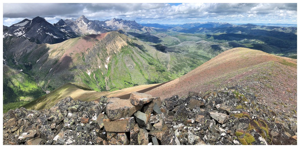
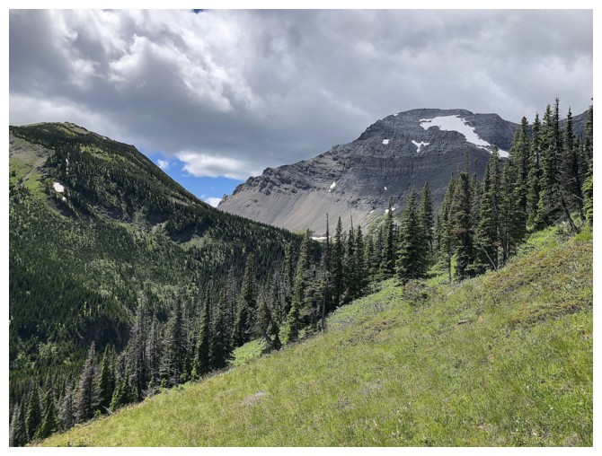
View to the south
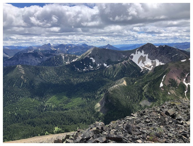
Summit view of the south end of The Flathead Range
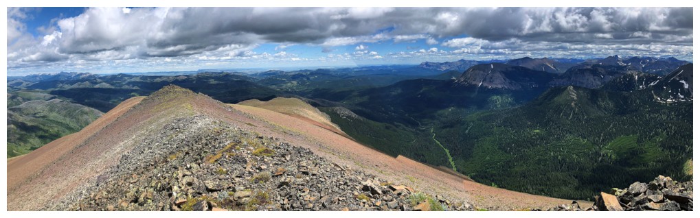
View to the east
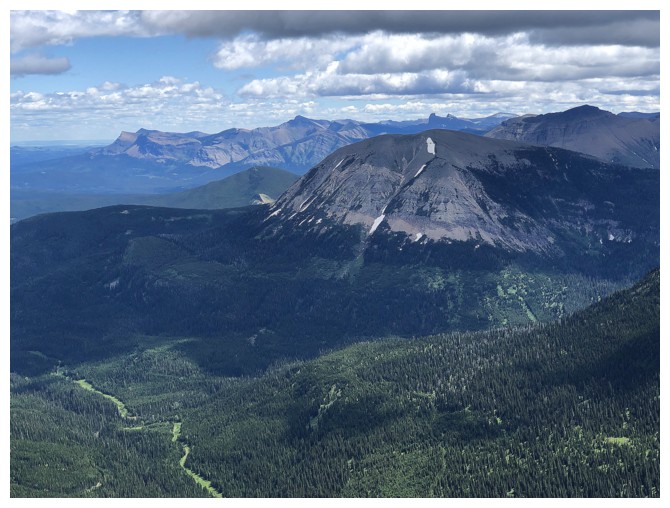
Mount McCarty - someday, but it's not high on the list
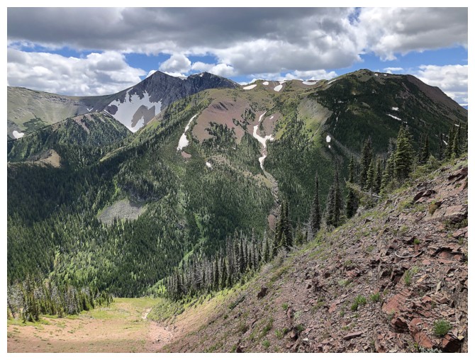
The colourful peak to the north looks fantastic. It's the last blob of colourful rock that is part of the Lewis Thrust fault.
Excellent view to the north
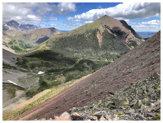
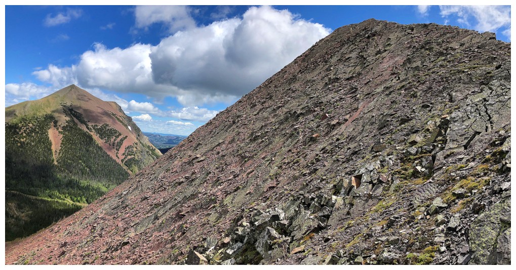
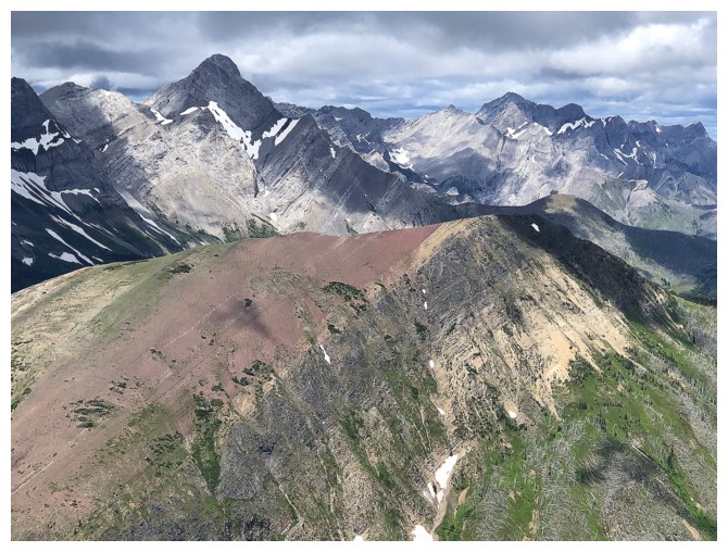
Descending easy slopes of sweet red argillite
Looking over to North Kootenay Point and Hollebeke Mountain
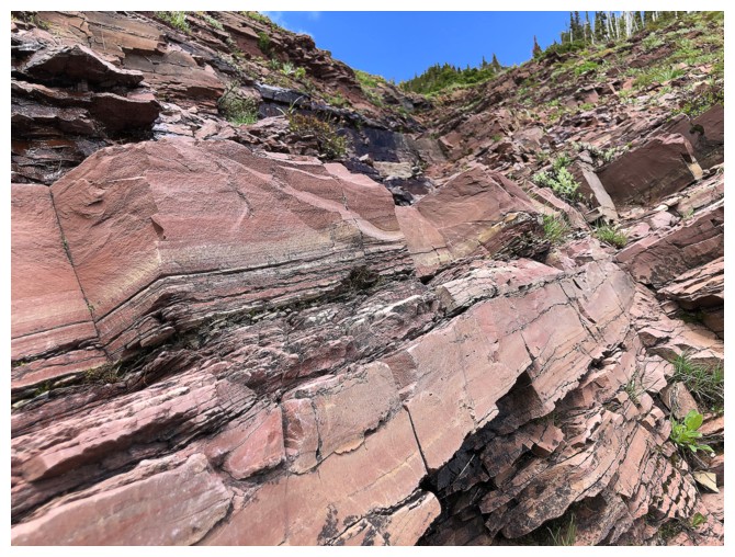
More argillite
Looking back up the lower section of the descent route
Looking back to North Kootenay Pass
An interesting outlier of North Kootenay Point
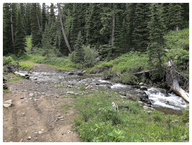
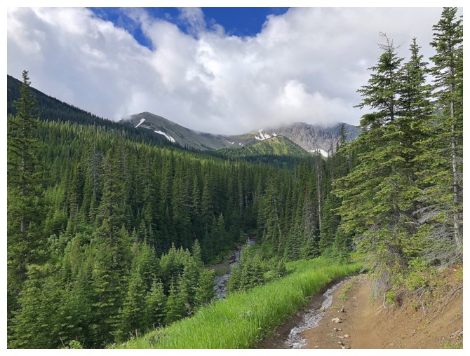
Back at one of the creek crossings
The End
LOG