Silverhorn Mountain
July 2,
2016
Mountain height: 2911 m
Elevation gain: 1200 m
Solo scramble.
In another lifetime Mark, Kevin Barton and I had attempted
an ascent of Silverhorn Mountain, the poor and unjustly neglected middle child of the Weed,
Silverhorn, and Observation trio. We tried going up the southwest side of the
mountain, but snowy conditions and steep terrain ended the attempt. However,
several recent ascents up the northwest side by other parties renewed my interest in this
mountain. The trip turned into one of my favourite ascents of the summer.
I loved every part of this trip. I may have scowled once in
a while at the less than perfect weather, but then whining has become part of
my charm!!!
Highlights:
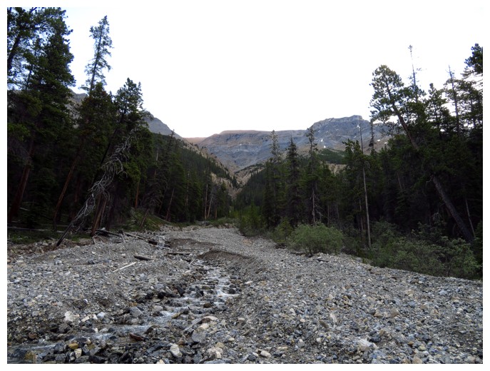
1. Easy,
scenic approach, with an option to do some difficult scrambling alongside a
waterfall.
2. A
section of outstanding hands-on scrambling up solid rock.
3. The
exciting ridgewalk to the summit
4. Spectacular
views, as good as those from the neighbouring peaks.
5. Fascinating
rock colours, while extending the trip to a highpoint between Silverhorn and
Weed.
Lowlights:
1. A
stretch of tedious scree between the outstanding hands-on scrambling and the
summit ridge.
2. Cloudy
skies (how charming!)
Great trip! Don’t let the relatively diminutive stature of
Silverhorn prevent you from trying this one.
 Silverhorn doesn't look that impressive on approach
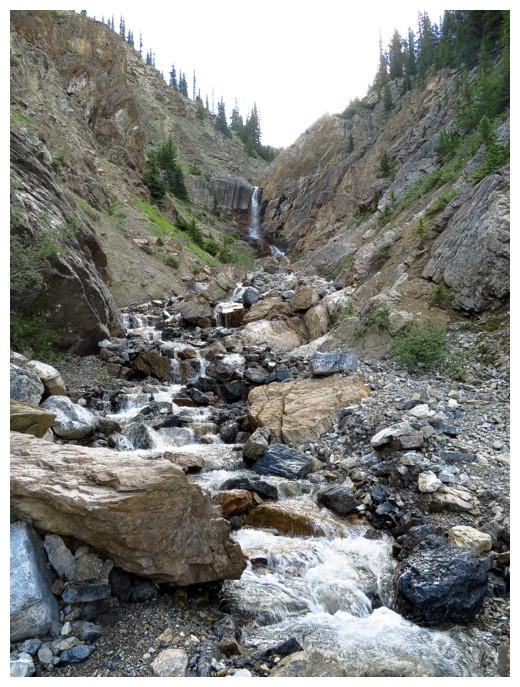
Approaching the large waterfall in the ascent drainage
The waterfall can be bypassed, but its a steep, exposed affair. Better to gain elevation well before the waterfall
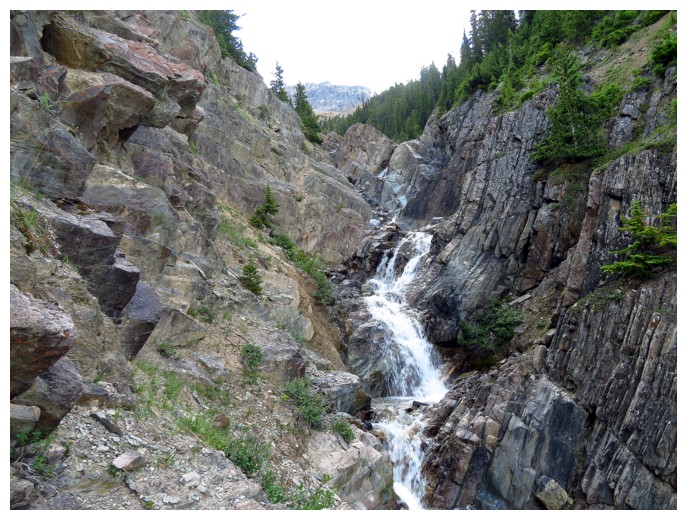
More challenging terrain if you stay in the drainage
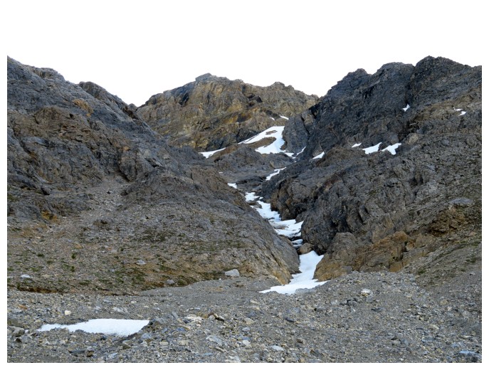
Approaching the super fun upper slopes
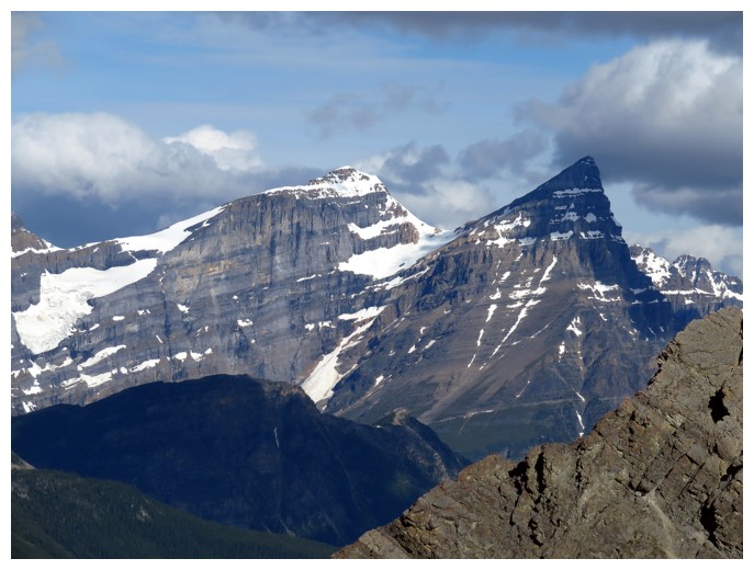
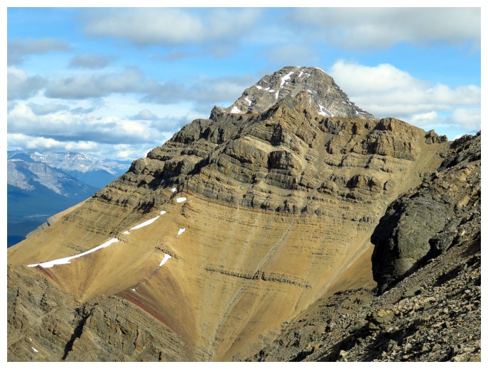
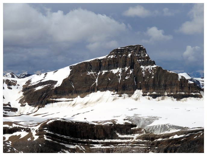
White Pyramid and Mount Chephren
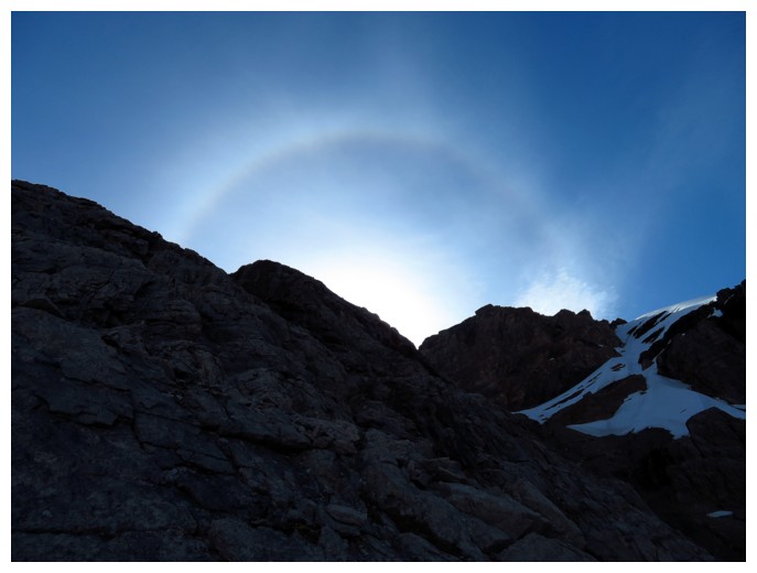
A Sun halo appears over the upper ridge
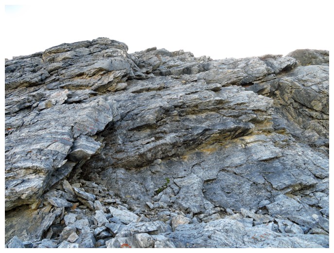
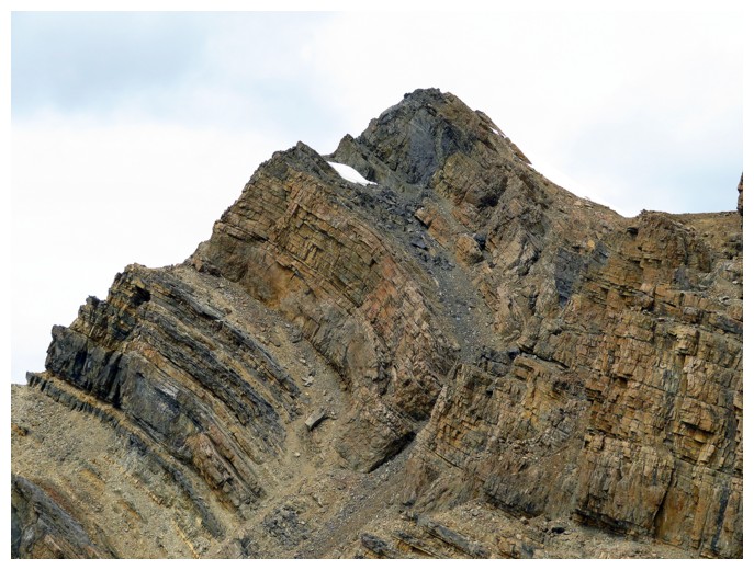
This rock is solid and heaps of fun to scramble up
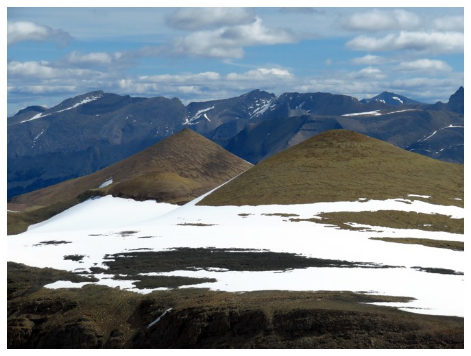
Mount Weed peaks over a northern outlier of Silverhorn
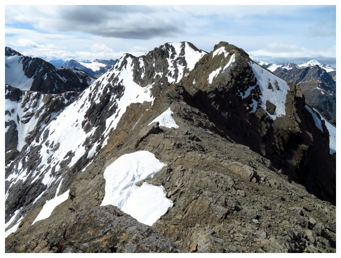
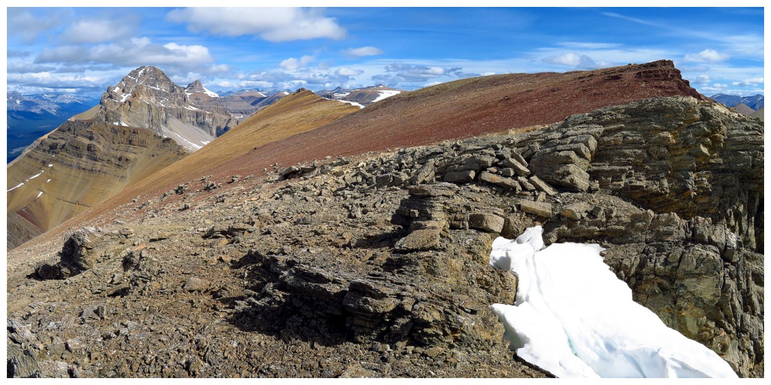
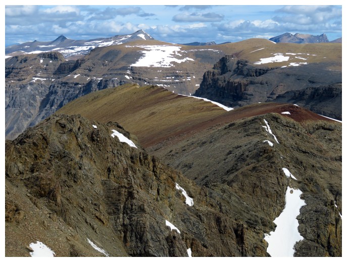
The ridge that leads to the summit (centre)
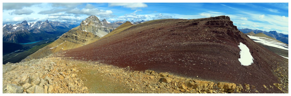
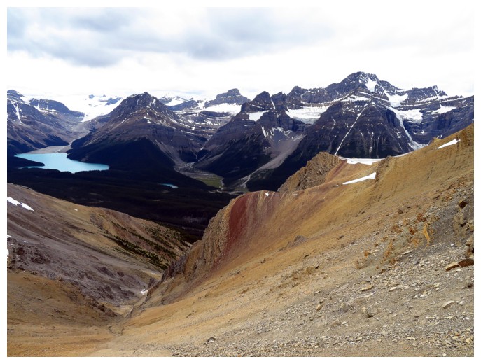
Colours more reminiscent of those in the Southern Alberta Rockies
Conical Peak (left) can be accessed from Silverhorn, but it's a long day
Quill Peak in the background (?)
Mount Baker, across the road
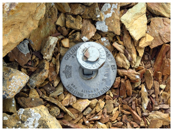
Ah..... the British are everywhere!!
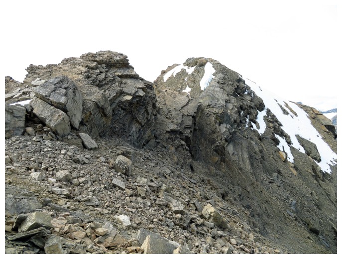
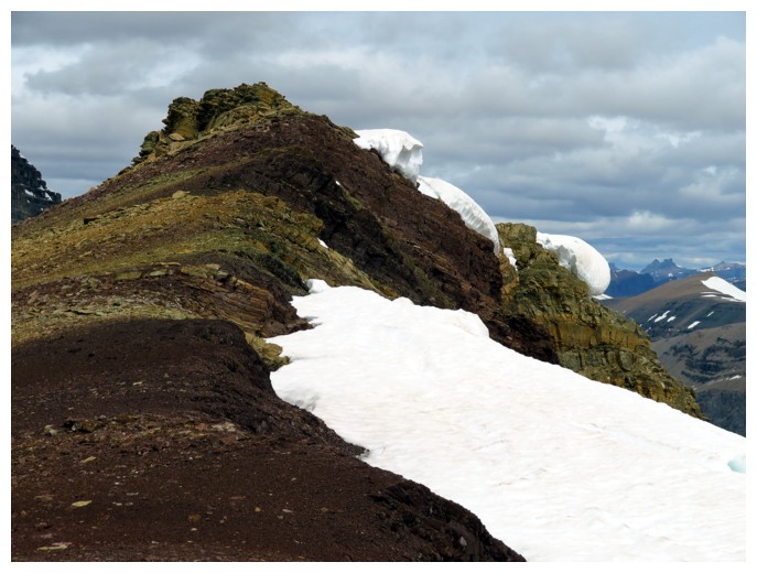
The tricky terrain on the ridge can be bypassed by going below the ridge, but it's not really worth it
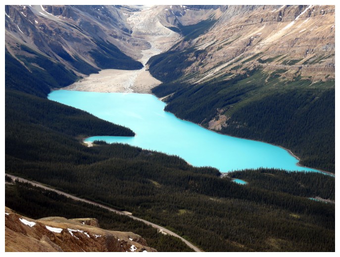
Milky, blue/green Peyto Lake
The summit view to the north and northeast
Looking back down the ridge
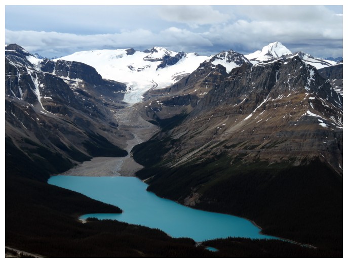
Peyto Lake and some of the Wapta Icefield. There's Baker again, at the right
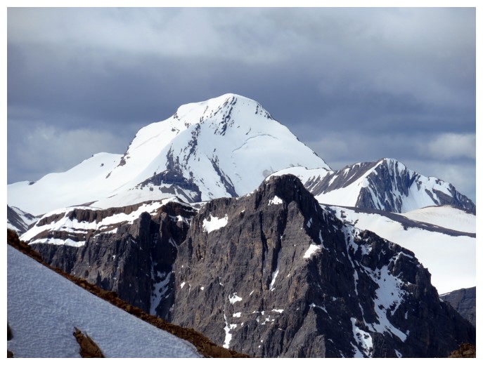
Mistaya Mountain
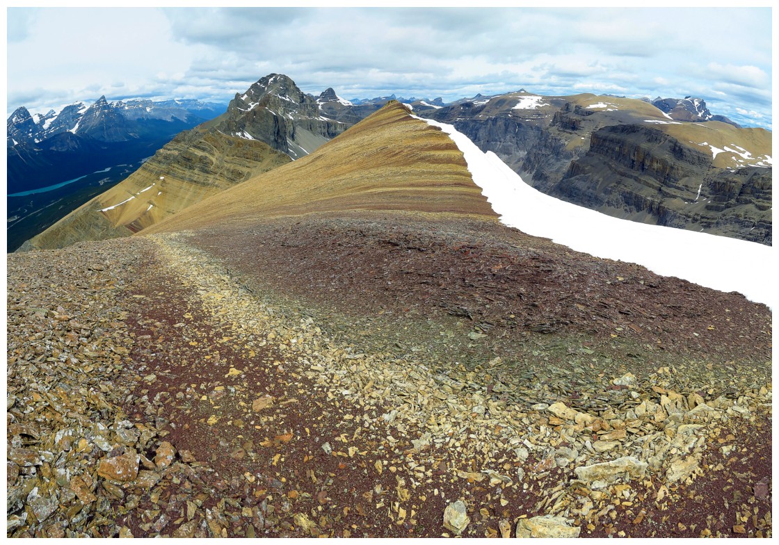
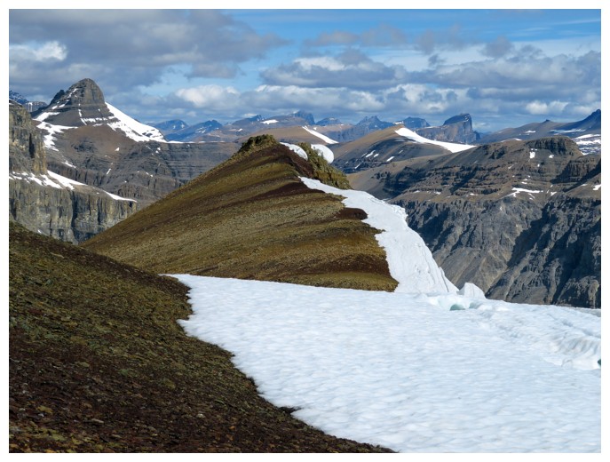
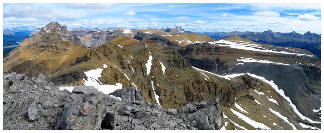
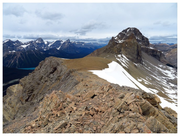
Heading back along the wildly colourful ridge towards the next highpoint to the north
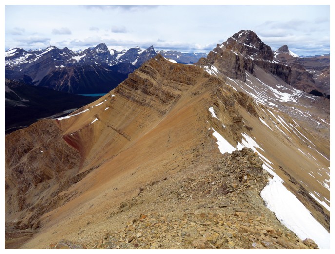
The destination is in the centre
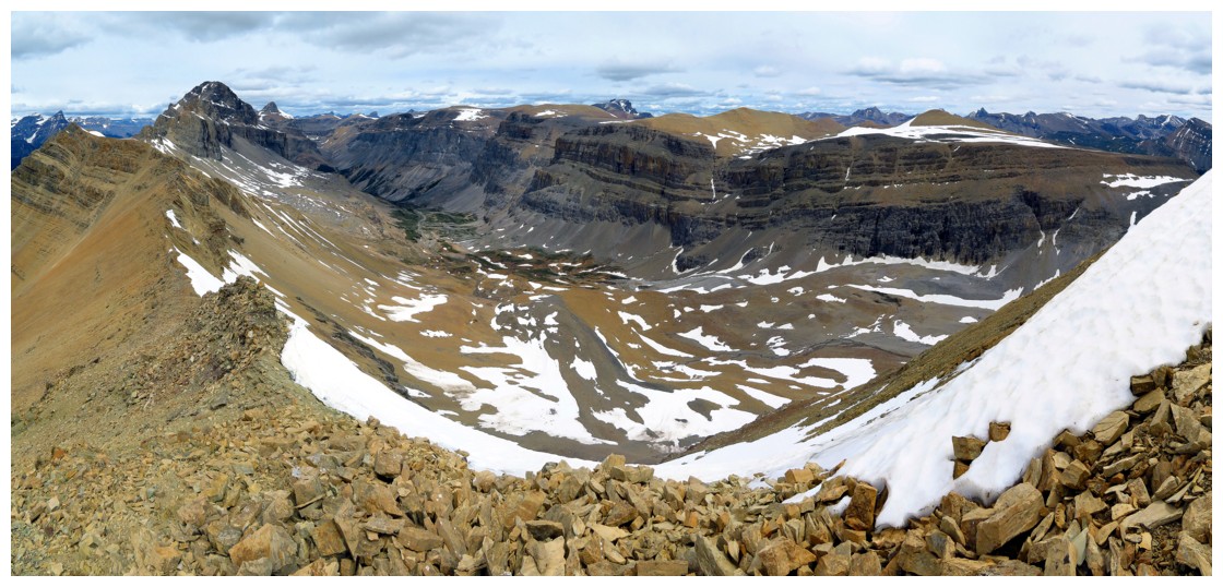
Looking down into the Silverhorn Creek valley
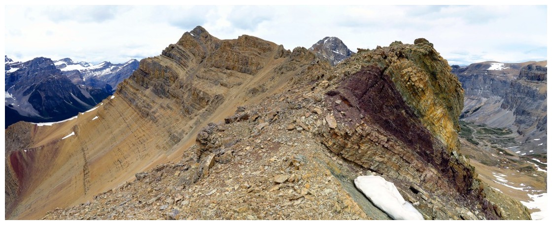
More colourful rock
The objective
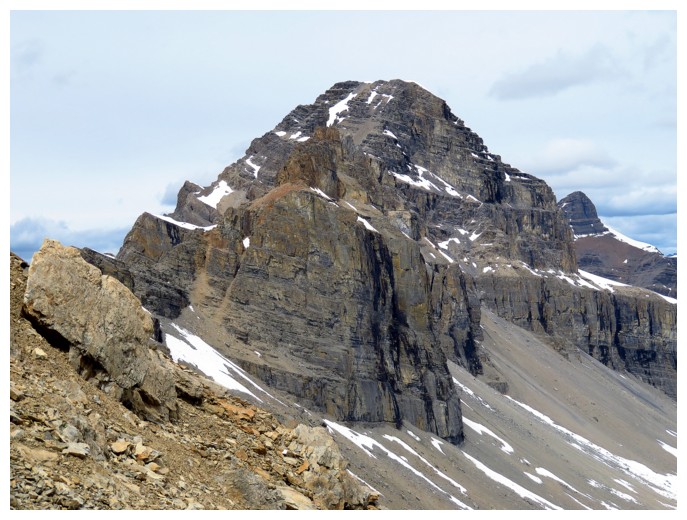
Mount Weed
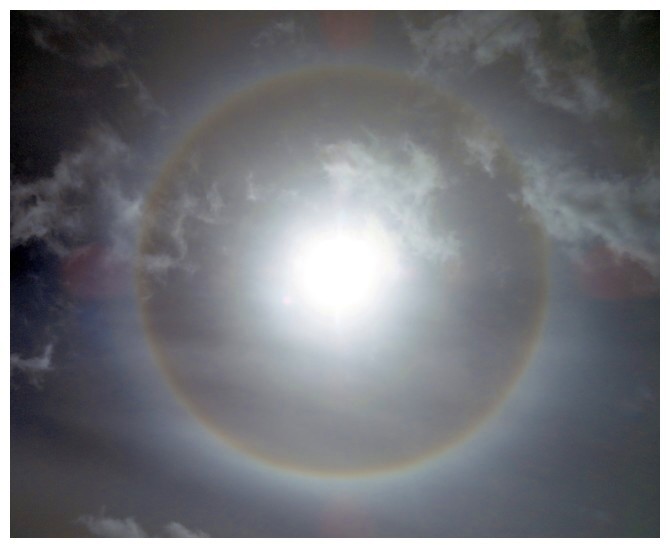
A full Sun halo
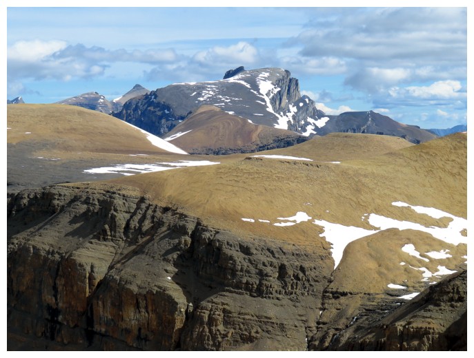
At the highpoint, looking towards Weed
An alternate descent route goes right down here. It's not the pushover it appears to be, though
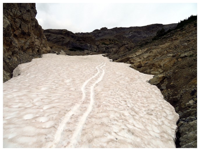
The remaining snow provided a few short sections of good boot skiing!
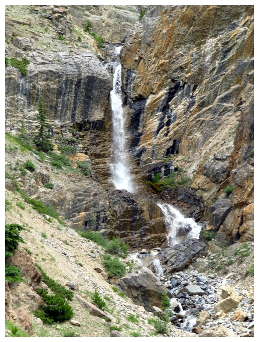
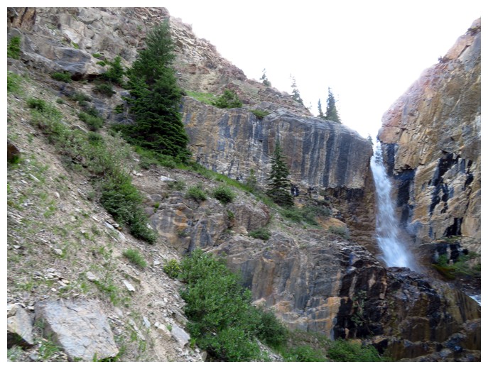
Back to the waterfall