Mount Yamnuska VIII
March 12, 2022
Mountain height: 2240 m
Elevation gain: 900
m
Round-trip time: 6.5
hours
Solo scramble.
Yamnuska saves
the day again! When the morning satellite image shows a wall of cloud streaming
in from the west but a clear patch of sky right at the mountains/foothills
border, The Yam is often your best bet for the most favourable weather. And
such was the case for the day’s outing.
Another
motivating factor for an 8th ascent of Mount Yamnuska was to check
out the new and improved hiking/scrambling trail. It would likely be snow
covered but probably well tracked.
Alberta Parks
did an excellent job of re-signing the new hiking trail and rerouting a few
sections en route to the far east end of the peak, known as Raven’s End. Likewise
for the scramble route to the summit. Blue markers and a good warning sign
about the potential dangers of this scramble (not hike) should hopefully keep
people as safe as possible on what can be a very serious scramble in less than
ideal conditions.
For descent I
took the west ridge route, but once again tried to stay near the ridge for as
long as possible. The new trail stays far from the edge and misses several cool
and vertiginous views along the ridge.
From the Yam/Goat
col at the far west end of Yamnuska, I was hoping to complete the new descent route
that goes through the trees to the west – but really I wasn’t! The old route
traverses under the awe-inspiring south face of the iconic mountain and is replete
with amazing views of that face. Heavy snow cover on the new route promoted me
to take old reliable. As expected, the views were terrific and the descent
straightforward.
A very satisfying
trip on a mountain that never provides anything less.

The new signs leave no room for confusion
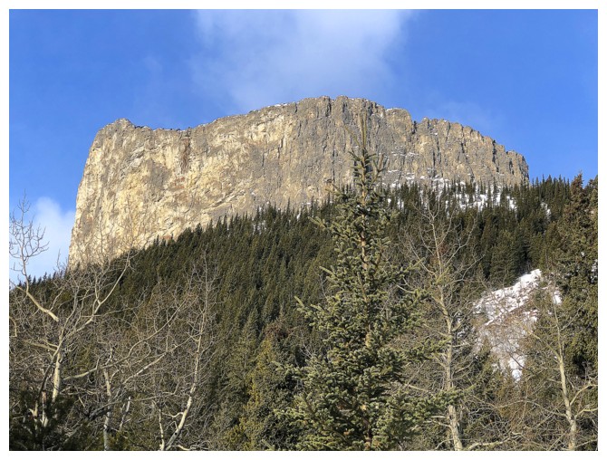
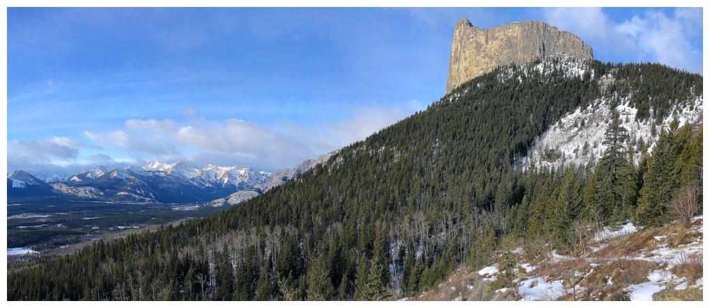
The occasional view of Yamnuska from the hiking trail
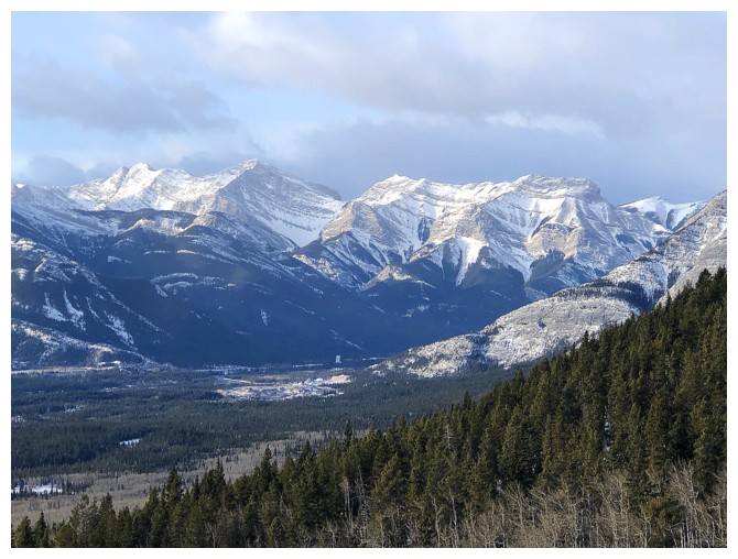
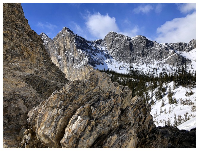
Right to left: Mount McGillivray, "Gilligan Peak", Skogan Peak
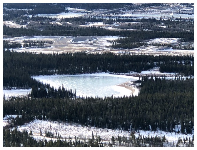
I don't know if this lake has a name, but, given it's shape, it should be Heart Lake!
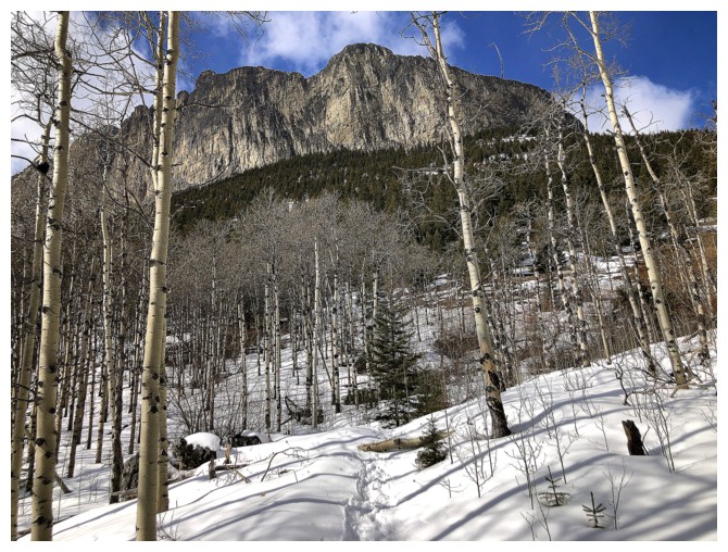
Gaining elevation, with improving views
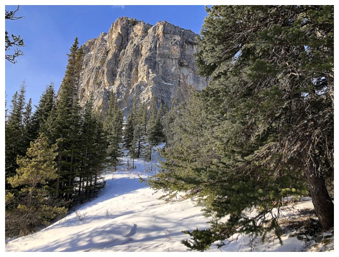
Approaching Raven's End - the east end of Yamnuska
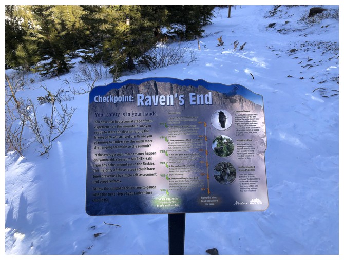
New information and warning sign - it's a good read
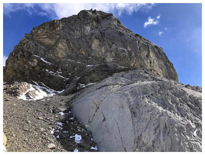
End of the hike - start of the scramble
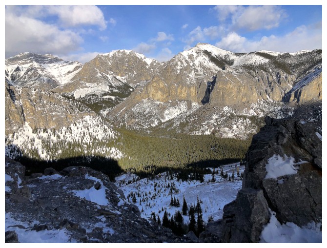
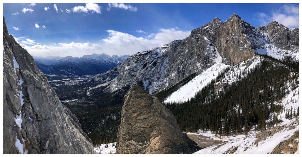
To the northwest and north sit Morrowmount, Wendell Mountain, and the East End of Wendell
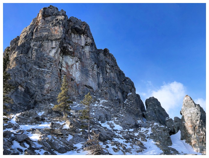
The scramble starts by going through the gap at the left
Yamnuska's north ridge
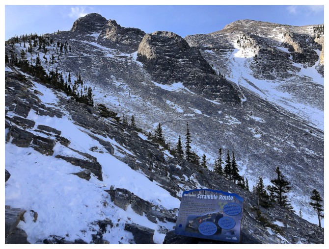
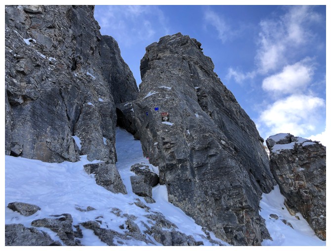
Another strategically placed sign and a good section of the route ahead
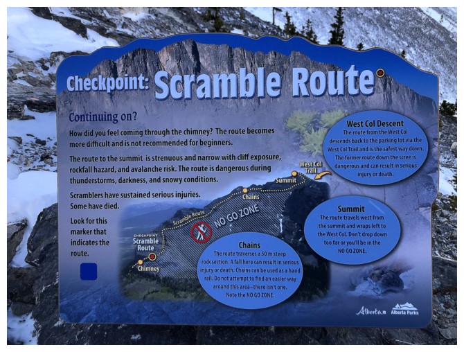
The sign - this is a must-read for everyone who reaches this point. Excellent work Alberta Parks!
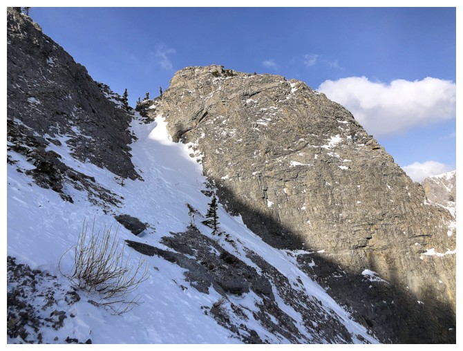
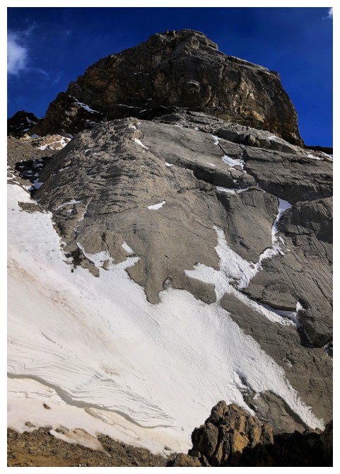
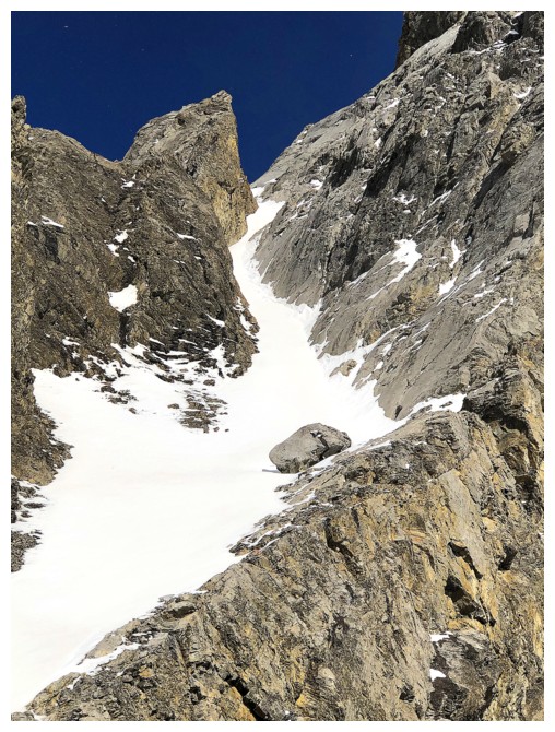
A steep snow gully to ascend. Glad I had at least Microspikes for this.
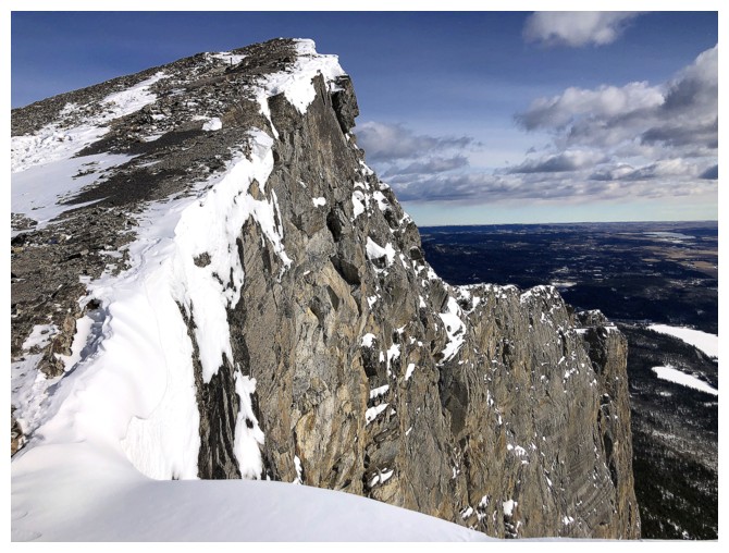
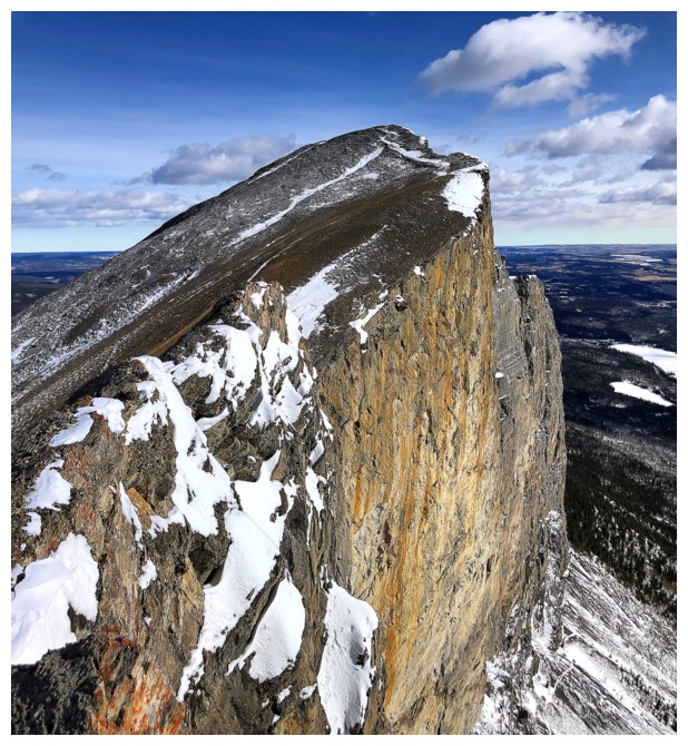
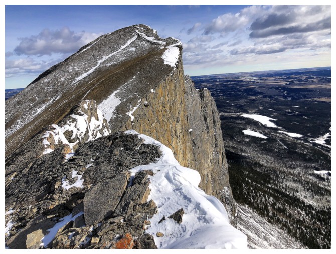
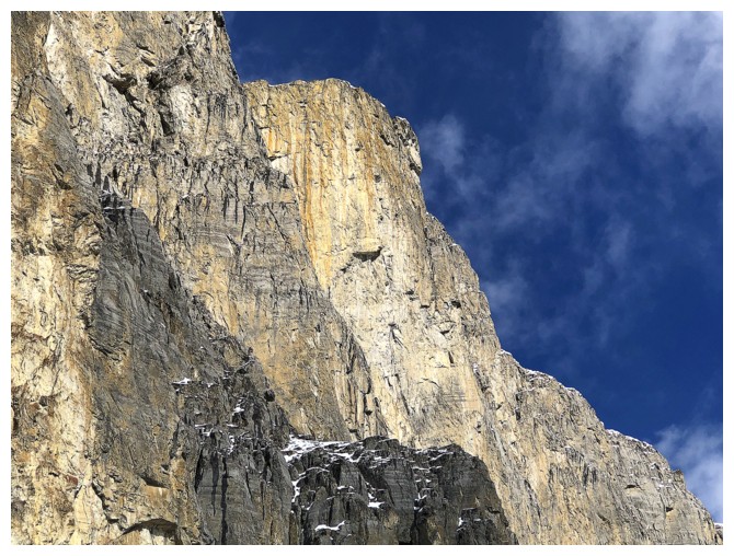
The classic Yam view down the south face
Same as above
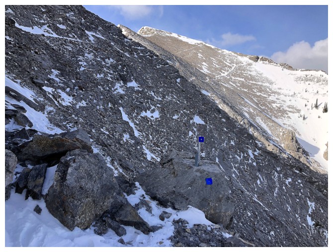
The blue markers help to keep everyone on route
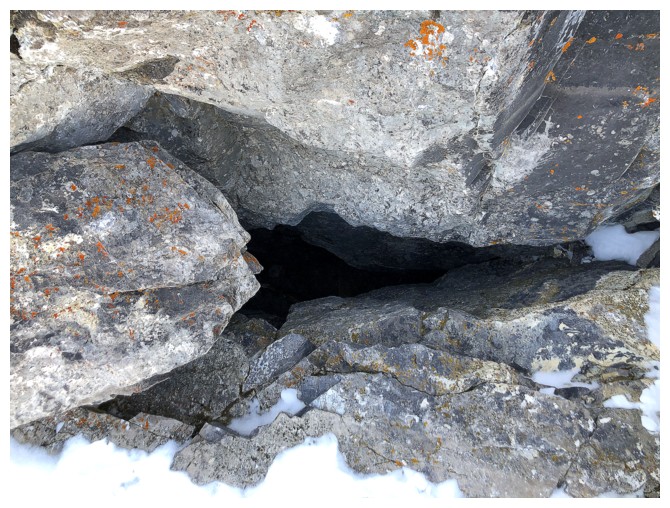
Epic nostalgia! The hole in the mountain from which you emerge if ascending the famous Grillmair Chimney route on the face.
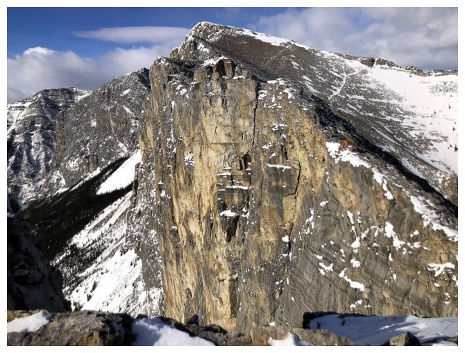
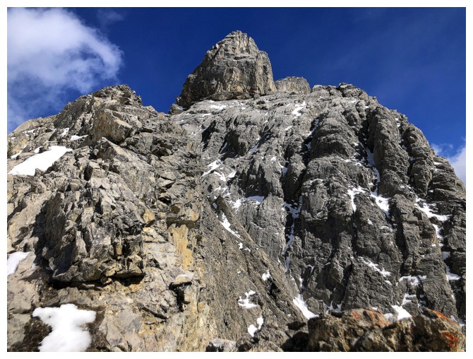
The face is consistently awe-inspiring, regardless of how many times you've seen it
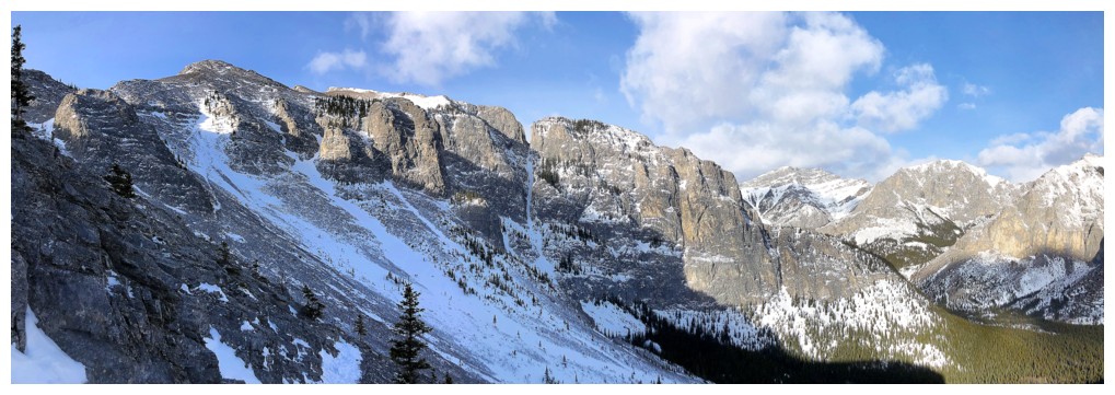
At the chain section (around the corner, at the left) and looking at the remainder of the route
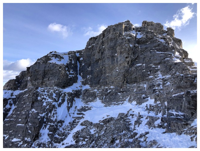
Looking back at the chain section. The chain is too small to see, but it basically goes right across the face at mid-height.
Detours to the right are required to get past some very steep terrain
Staying on the trail instead of following the ridge
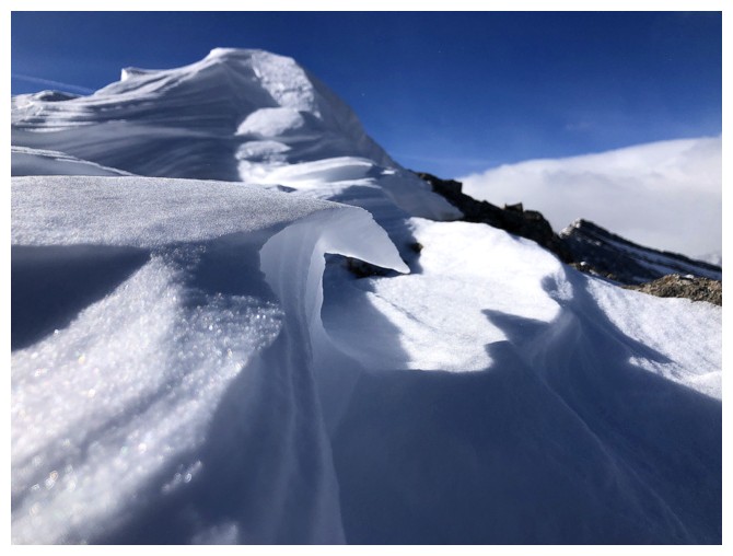
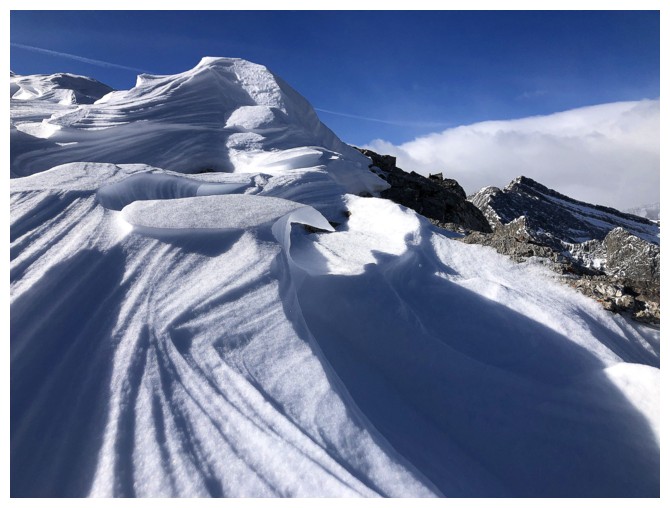
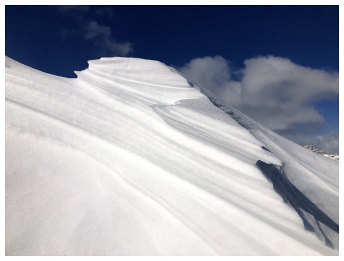
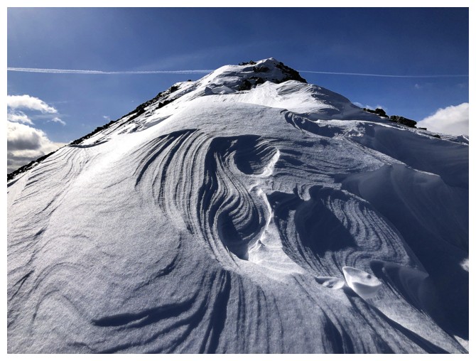
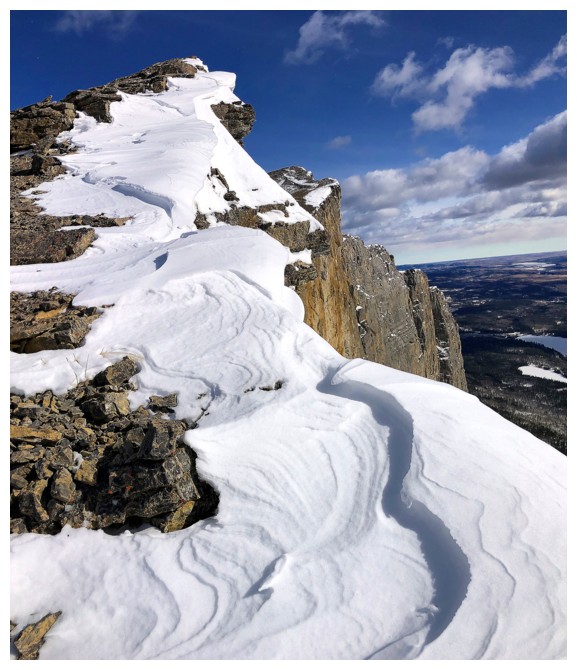
The highlight of the trip was this short section of amazing snow scenery
See the sideways face?
Summit view to the east
Summit view to the west
Descending and staying near the edge for the best views
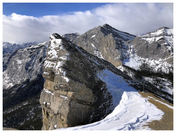
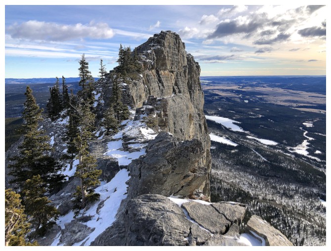
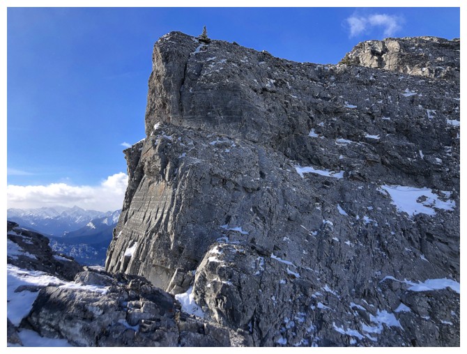
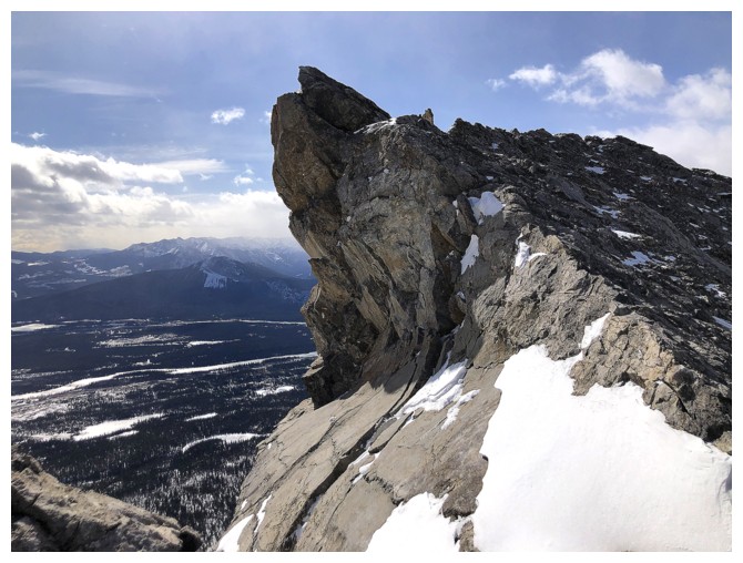
This minor highpoint definitely deserves a quick visit
Looking down the near vertical south face. Trails in the scree are visible.
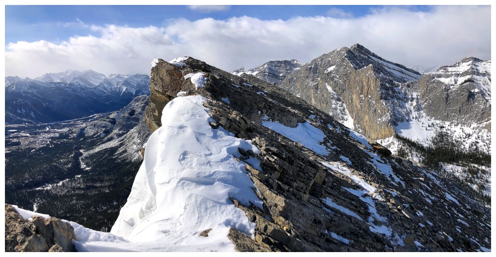
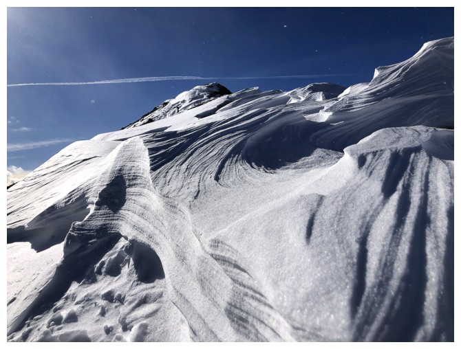
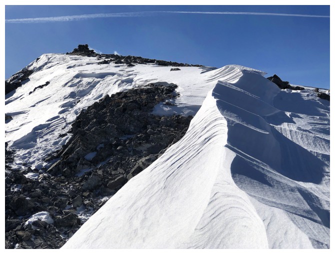
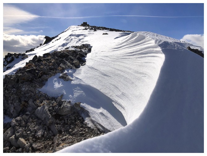
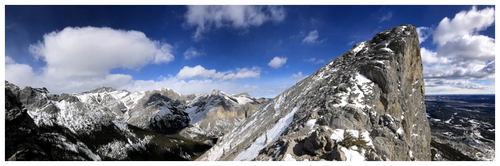
Continuing to follow the ups and downs of the ridge
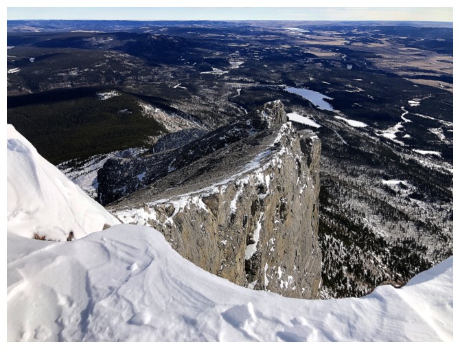
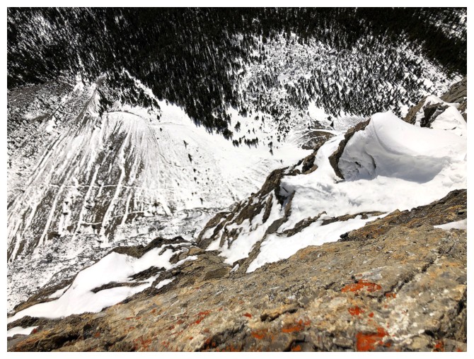
The reason why staying near the edge is really cool
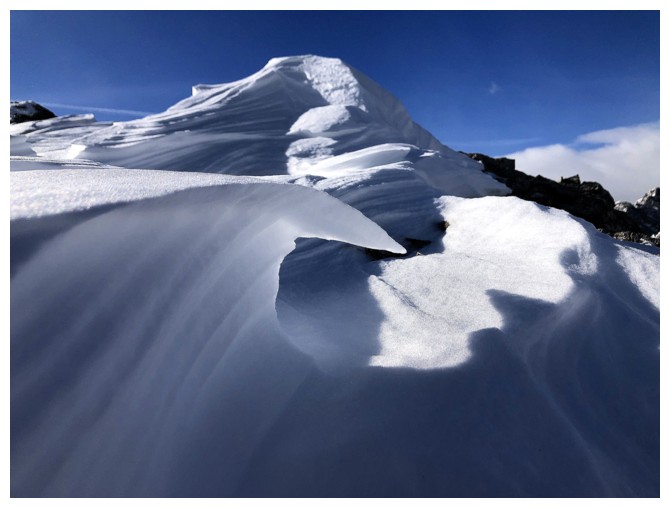
Same as above
Don't get too close though!
Another reason
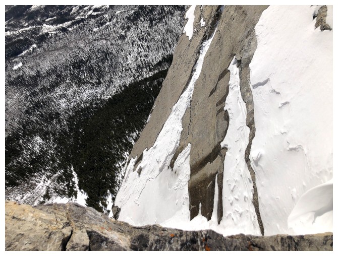
Looking down again
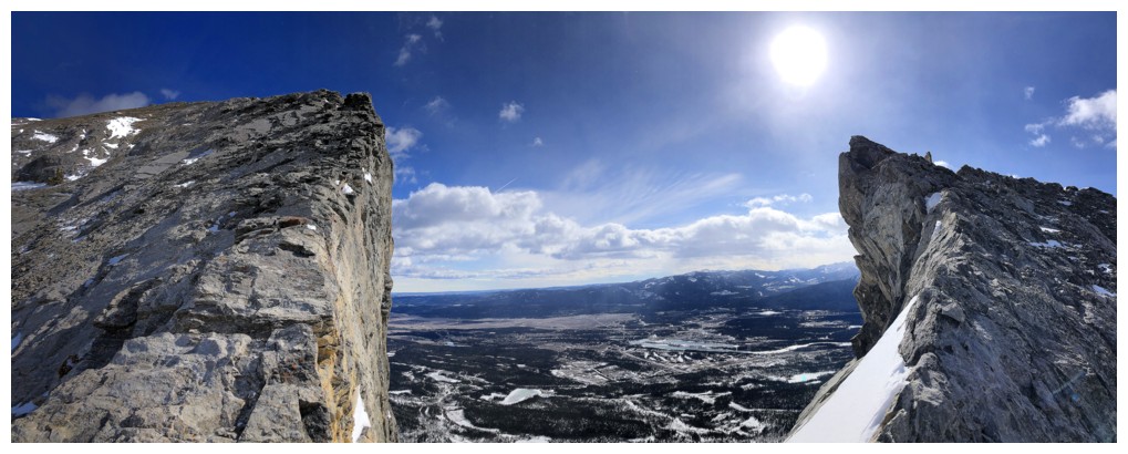
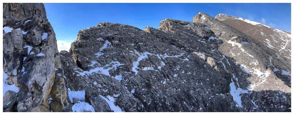
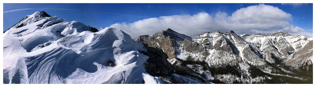
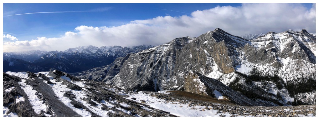
Pano of two highpoints
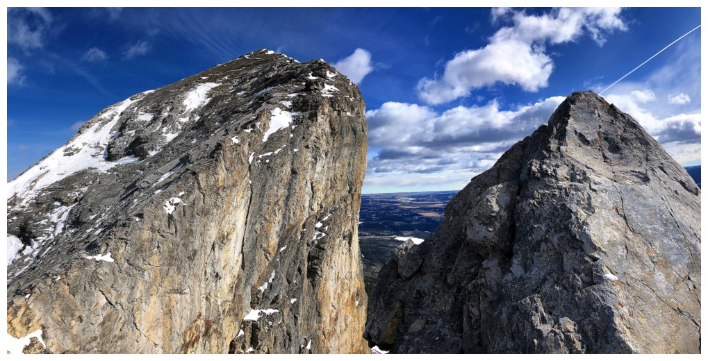
Same as above
Approaching the Yamnuska/Goat col
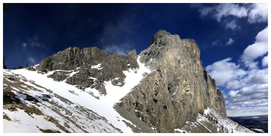
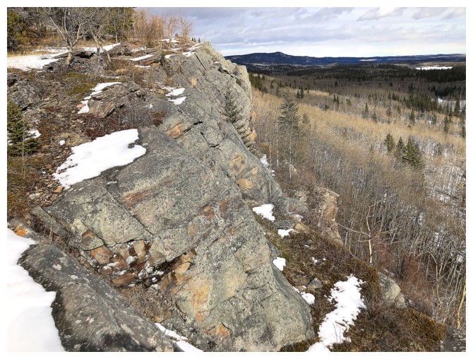
Wonderful rock scenery on the west end of the mountain
Looking down the gully that should have cost me my life when I foolishly tried to descend it in February of 2002
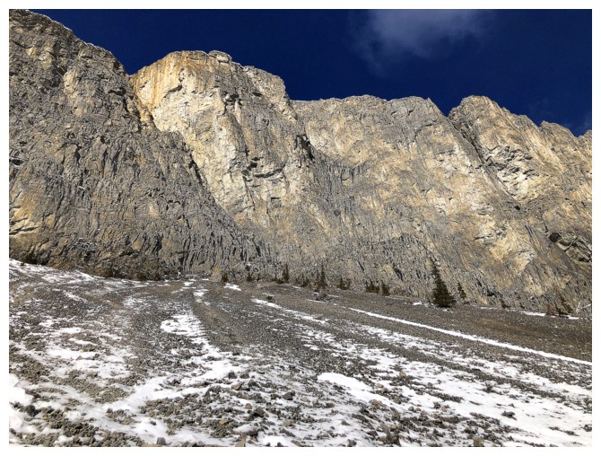
The great rock scenery continues
Same as above
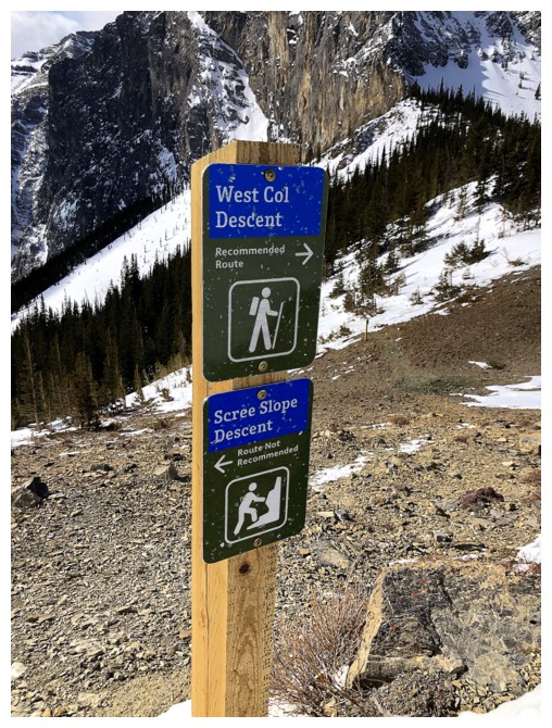
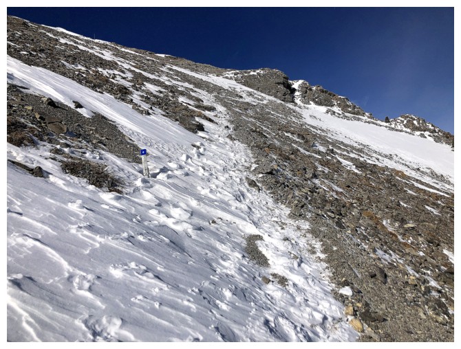
Another new sign. I did try the West Col Descent, but it was too snowy.
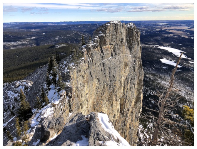
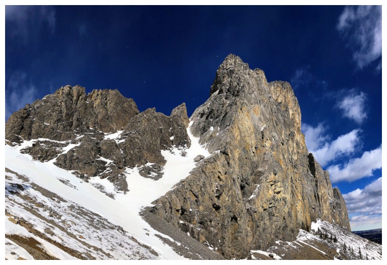
The pinnacle at the top has on it the last few pitches of the King's Chimney route and a few others
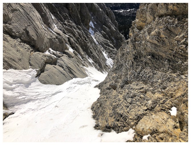
Best view of the west end, the south face, and that death gully
Close-up of the gully. In February of 2002, I slipped near the top, was
launched into an involuntary glissade, side-swiped the boulder at the
bottom, went airborne, and landed on my back a few metres from the edge
of the cliff. Walked away unscathed but severely shaken and grateful I
didn't go over the cliff. Bought an ice axe several days
later!
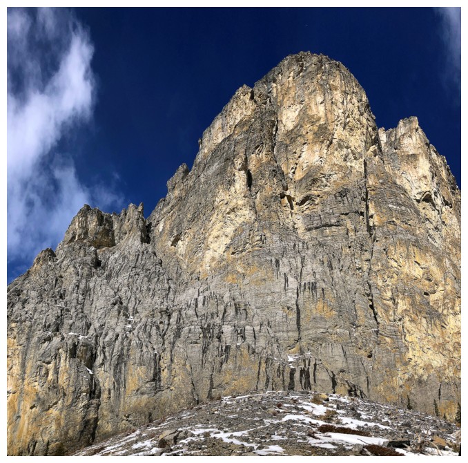
West end of the south face that is home to Easy Street, Windy Slabs, King's Chimney, and many others
The centre of the face is home to a huge host of higher level climbs
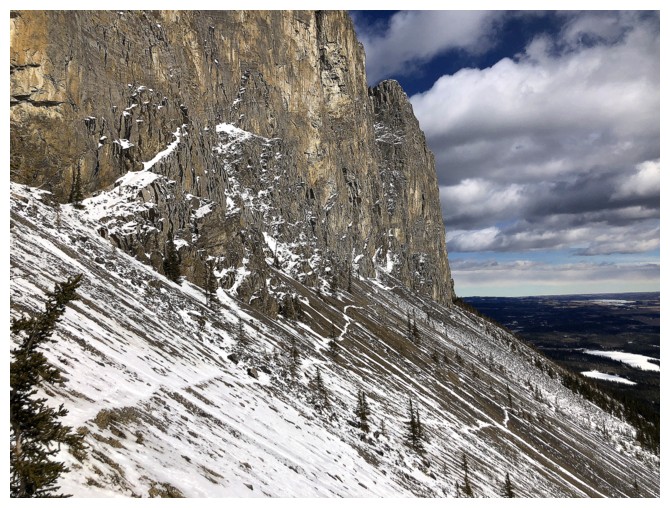
Following the prominent scree trails across the face
Heading down the once famous scree run. It's more rubble than fine scree these days and varies in the quality of scree surfing.
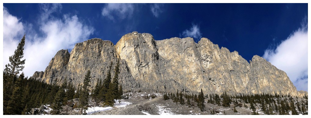
Easy to see why this is such an iconic peak - what a beaut!
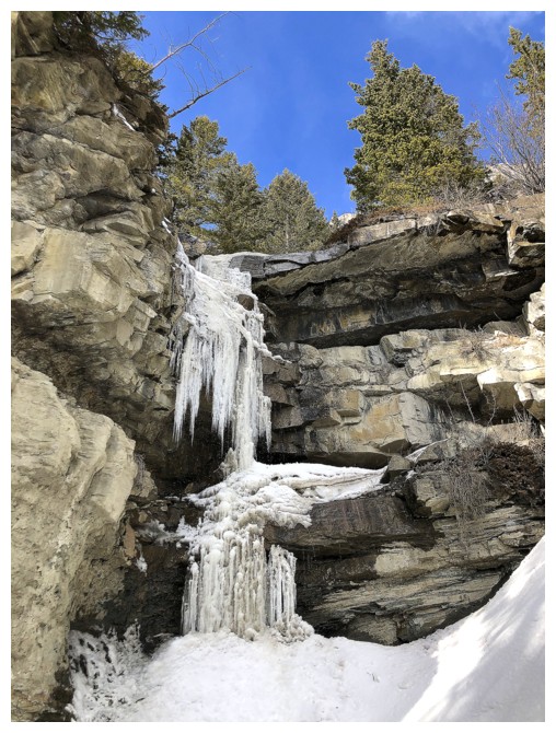
The "always good to see" frozen waterfall, though it's looking pretty thin right now
Parting look at this fine mountain
Checking out the Yamnuska Bluffs climbing cliffs
The End
LOG