Jewell Peak attempt
Barrier Mountain Lookout
VI
March 11, 2025
Mountain height: 2030 m
Total elevation gain: approximately
1000 m
Ascent time: 7:10
Descent time: 1:30
Snowshoeing and
hiking with Mark.
Given the
outrageous ascent time, clearly this was a case of picking the wrong objective
for the conditions.
My only ascent
of the Twins Towers (one of them sometimes referred to as Jewell Peak) occurred in 2005. The Towers are usually approached from Grant MacEwan
Peak - a relatively recently named peak that is part of the Heart Mountain loop
route and is fact the highest point of the loop. Also recently, a different route up Jewell from Barrier Lake has
gained a level of popularity. 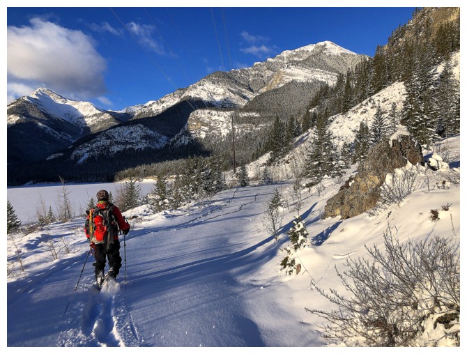 I’m not sure what part of my brain told me this new
route would be a good candidate for a winter ascent, but it was obviously the
bad part!
I’m not sure what part of my brain told me this new
route would be a good candidate for a winter ascent, but it was obviously the
bad part!
The route
started very well, following a set of old tracks in the snow. Those tracks soon
ended, but still we were making good progress breaking a new trail. Upon
reaching the bridge, where you leave the Jewell Pass trail, we put on snowshoes
and started up the creek. Again, progress was pretty decent, even with very
deep snow in the creek.
Unfortunately,
as we gained elevation, conditions became increasingly more challenging, and
our progress slowed accordingly. As well, we could see the Jewell Peak ridge
above and it was getting pounded by vicious winds. I checked the required
elevation gain to get to the top, it turned out to be a harrowing 600 m – that
may not seem to be a big number, but in present conditions it might as well
have been 6000! I predicted we were still at least 3 hours from the summit. 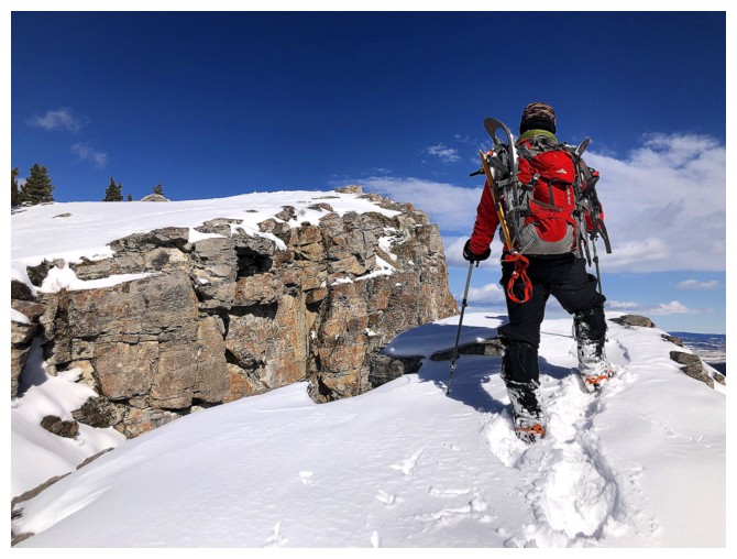 We
had no choice but to turn around and call it a day or try to salvage the trip.
We
had no choice but to turn around and call it a day or try to salvage the trip.
Our salvage
operation (the Barrier Lake Lookout), though straightforward, was far from a
pushover. Travel was easy throughout, but the journey was sooo long and sooo
boring! Of course, we had used a huge amount of energy trying to get up Jewell,
and therefore everything seemed longer and more strenuous than it normally
would be.
Once we hit the
intersection with the “regular” lookout trail, we abandoned our backpacks and
made our way up slowly up to the lookout. The view was decent, but we were both
too tired to really enjoy it.
The upside of
our long ascent route would be the luxury of the super easy and much shorter
descent. Even then, we were both completely depleted by the time we reached the
parking lot.
A disappointing
day with some light at its end. Lesson learned but probably not! I doubt this
will be the last time we will fail because of challenging conditions and/or a
poor choice in objectives.
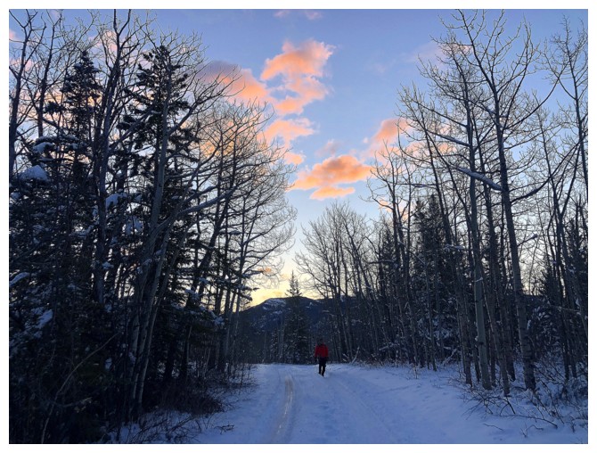
Nice morning light
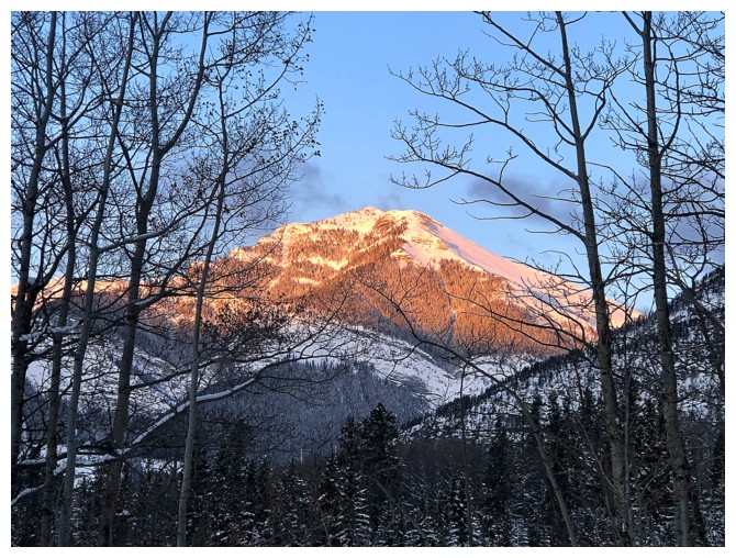
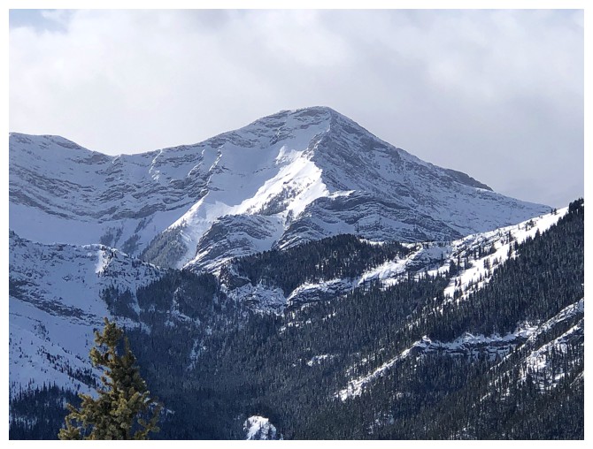
A close-up of Jewell Peak. It looks snowy and inviting at this point.
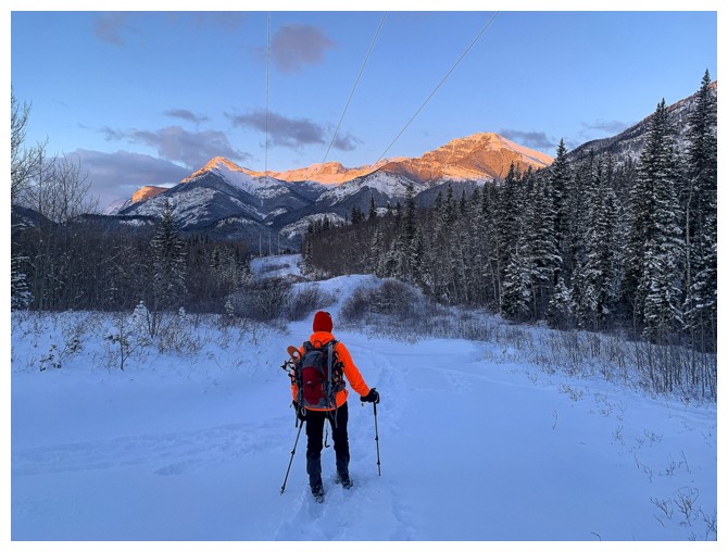
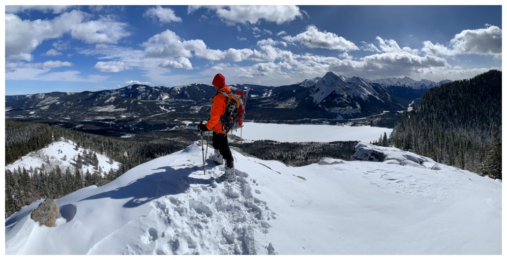
Better look at how far away Jewell is
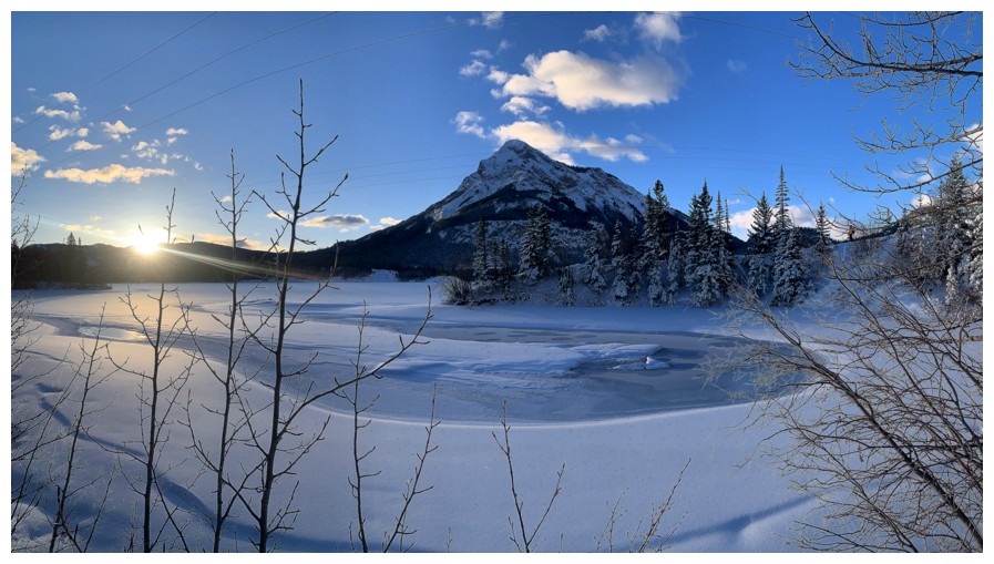
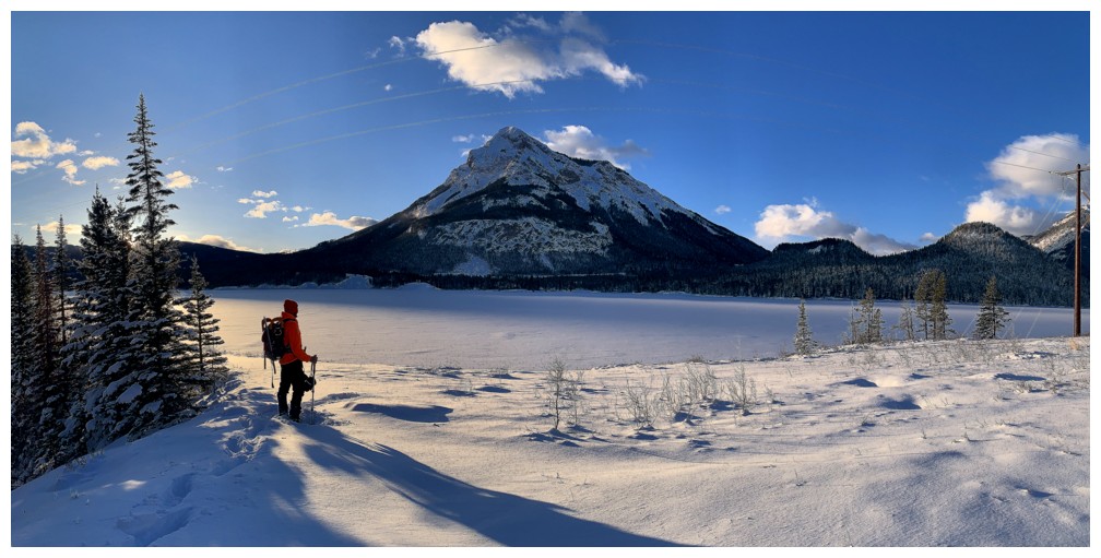
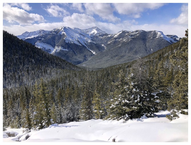
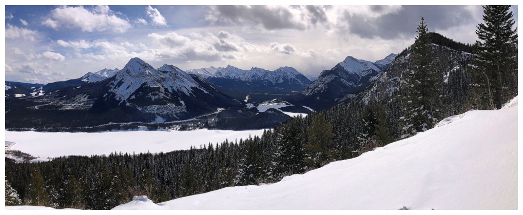
A very scenic point along the Barrier Lake trail. Mount Baldy in the background.
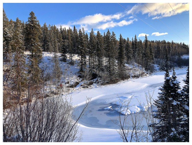
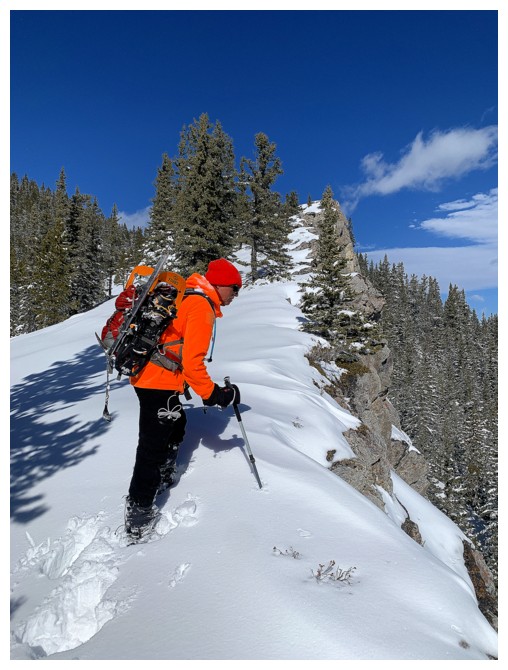
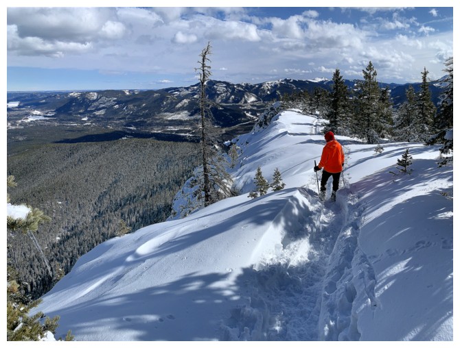
Looking down on the trail where Mark is taking the previous photo
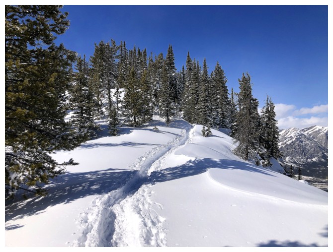
View from above
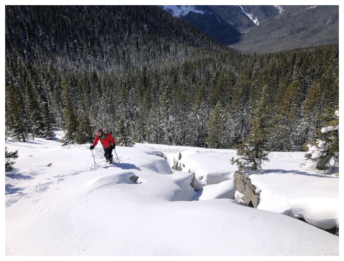
Onward, now breaking a new trail, but snowshoes were not necessary
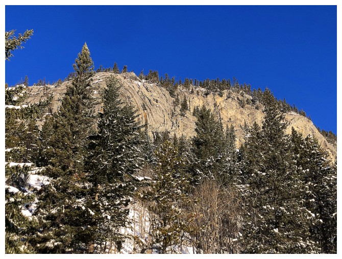
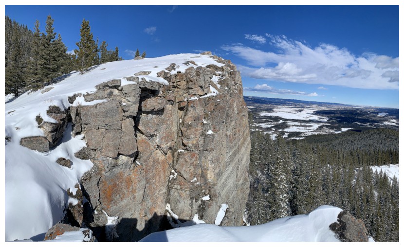
The south side of Yates Mountain (where Barrier Lake Lookout resides) has some very interesting strata of rock
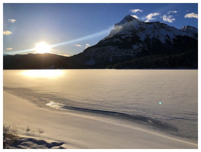
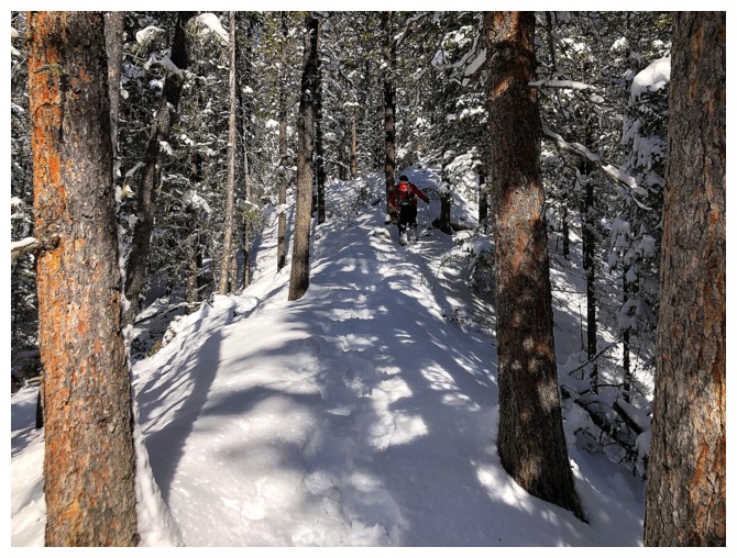
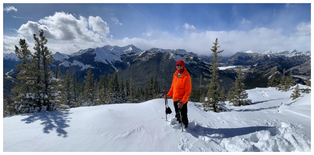
Here Comes The Sun
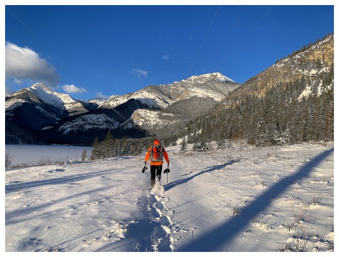
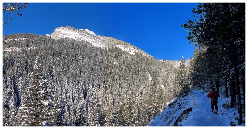
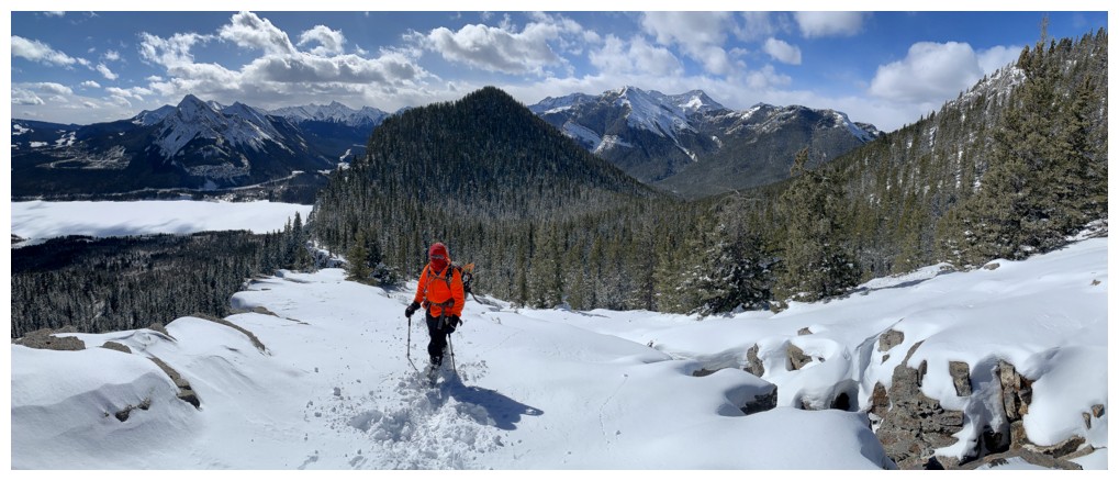
Now on the Jewell Pass trail
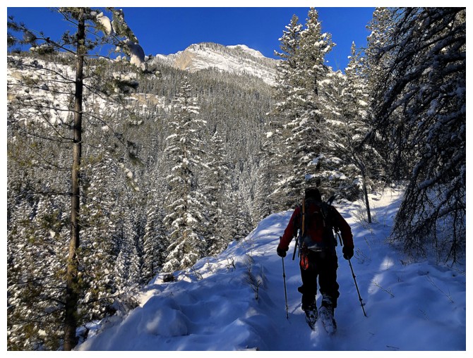
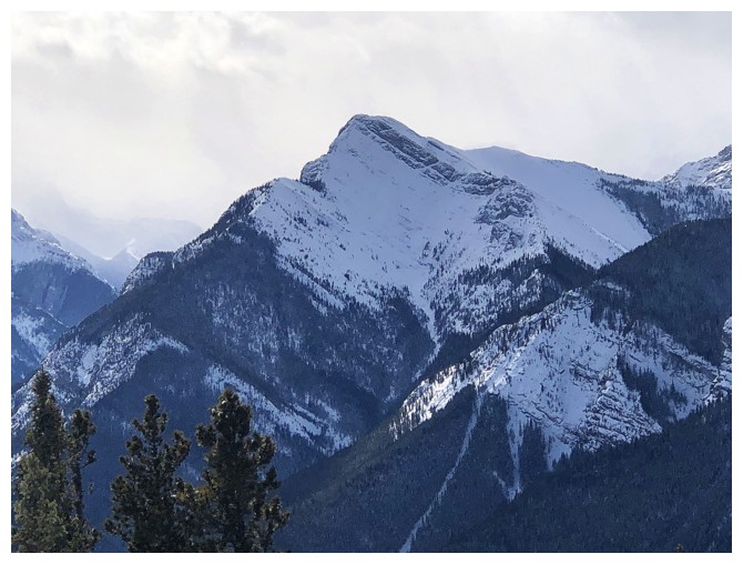
Jewell Peak
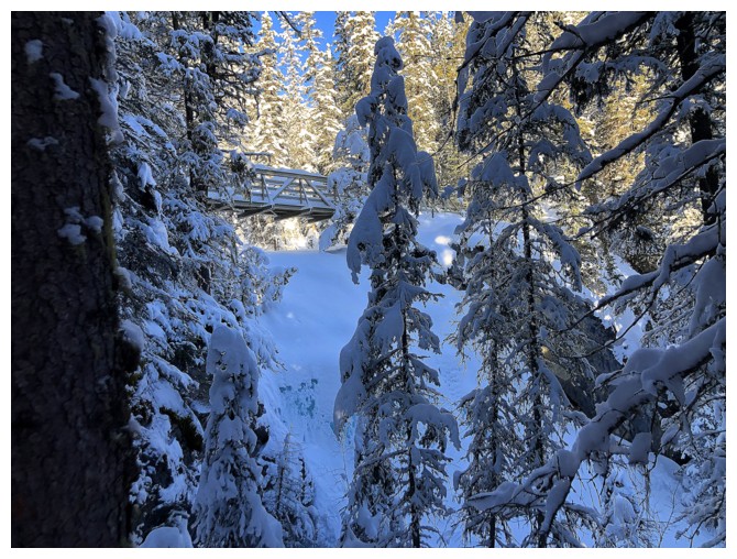
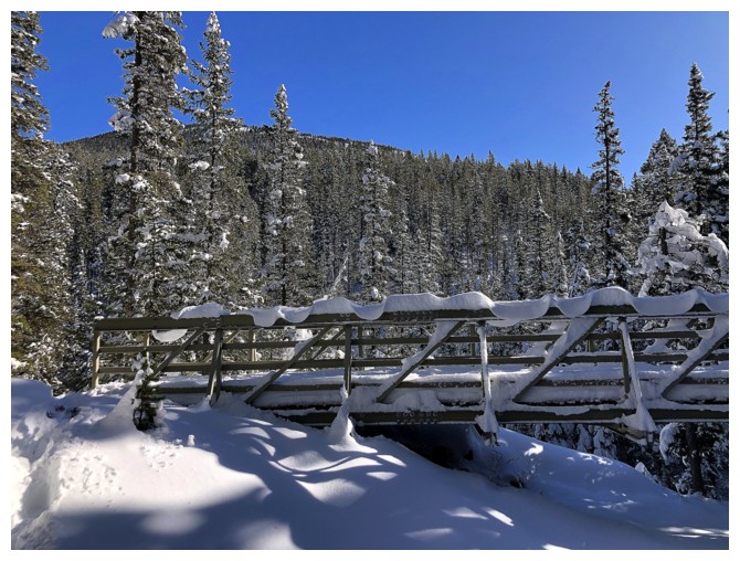
The bridge
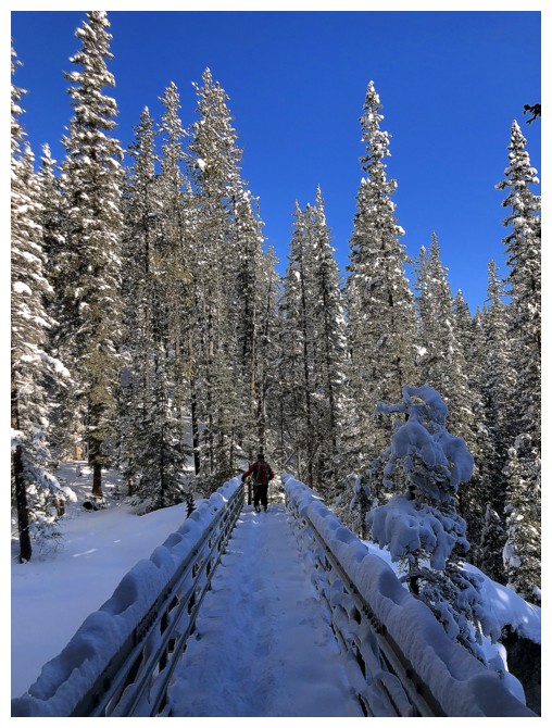
After crossing it, we put snowshoes on and started up the creek
Sometime later, watching snow blow violently off Jewell's north ridge
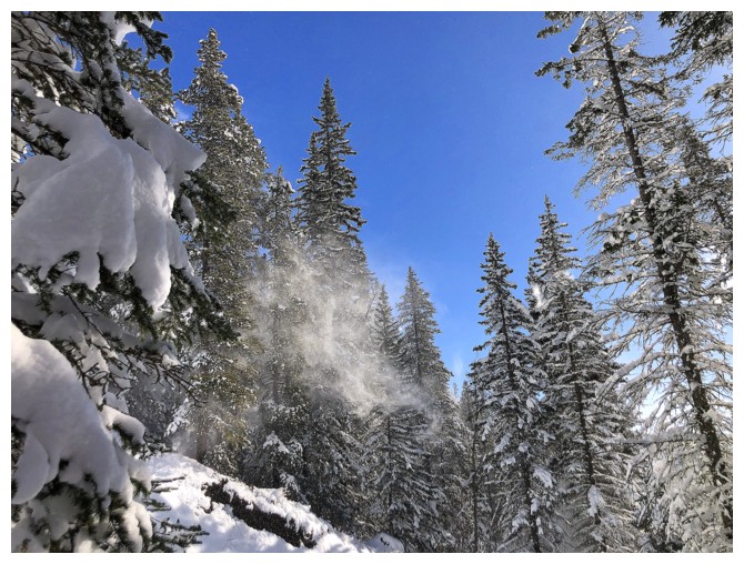
And off the surrounding trees
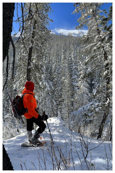
Somewhere near the point we decided to bail on Jewell. With a perfectly blue sky we wanted to get to the top of something.
Back at the bridge
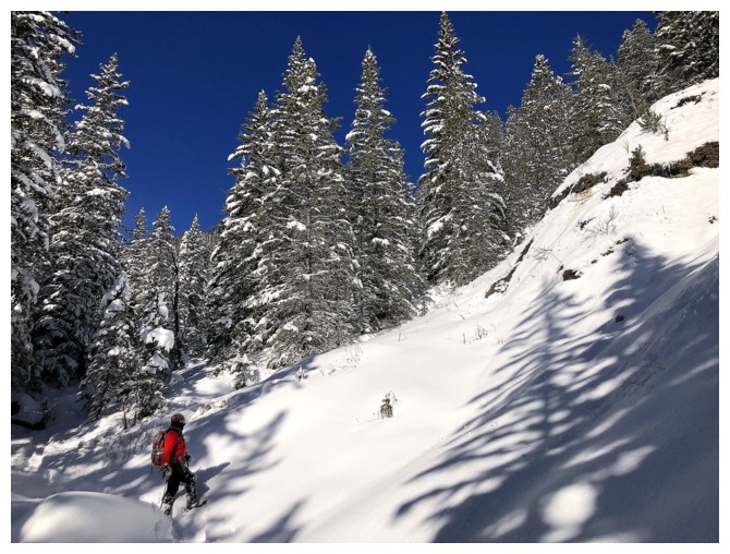
Typical travel for the next two hours - lots of trees and no views
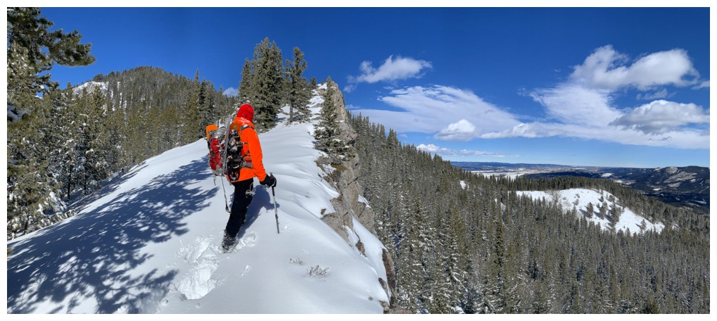
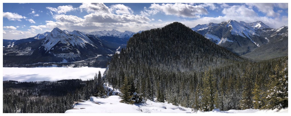
Finally getting out of the trees and checking out the drop over McConnell Ridge

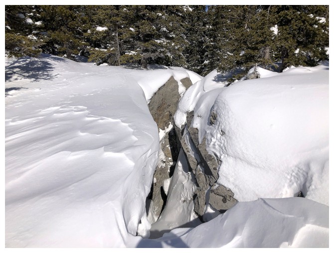
There are several deep fissures in this area and much care is needed, especially when snowy
Clouds are starting to build to the west, as predicted on Spot Wx
Hitting an impasse. Trying to get to the other side would have been a very questionable decision!
This is one of the cooler areas on the mountain
Fissure to the right, drop-off to the left
Now on the other side of the fissure
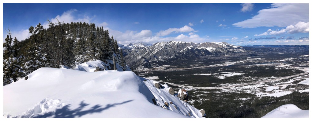
View to the south
Another gap you want to be cautious around
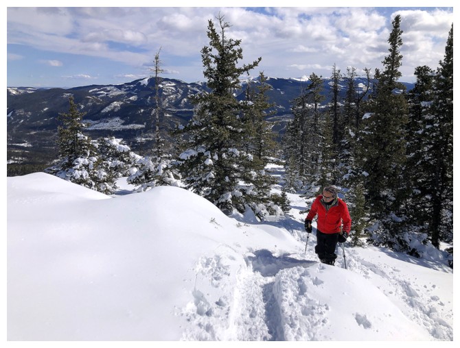
Grinding our way up to the lookout
The lookout is atop the bump at the left
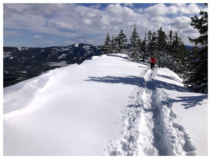
Thankfully a group had been up here earlier and had beaten a trail into the snow
There's the trail
At the top, looking west

View to the north
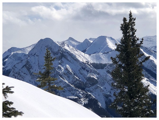
Peaks to the southeast
Mary Barclay's Mountain (I think)
Gilligan Peak
Heading down
View from the popular open area along Prairie View Trail
The End
LOG