Bertha Peak outlier attempt
July 9, 2025
Elevation gain: 650 m
Round-trip time: 4:30
Solo scramble.
This trip did
NOT go as planned!
I had this
happy idea that reaching a highpoint on the east side of Bertha Peak later in
the day would grant me an outstanding view of the Waterton Lakes, the mountain
surroundings the lakes, and the townsite, as the Sun moved into the western
skies. I had visited the highpoint a few weeks earlier on an awesome ascent of Bertha's east face. 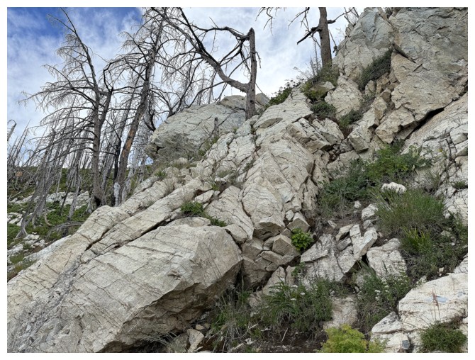 Looking down from that highpoint, it appeared one could
descend directly down to Bertha Creek, follow the creek down to the trail, and out
to the parking lot.
Looking down from that highpoint, it appeared one could
descend directly down to Bertha Creek, follow the creek down to the trail, and out
to the parking lot.
Also, still
smitten from a recent ascent of an unbelievable drainage between Newman Senior
and Mount Glendowan, and an earlier trip up a drainage on Mount Blakiston, I
convinced myself that descending Bertha Creek would provide a similar,
awe-inspiring experience. Apparently, I was wearing my double-tinted, rose-coloured
glasses as I drove to the Bertha Lake trailhead!
The trip
started by hiking to the point where the Bertha Lake trail makes a dramatic turn into the
Bertha Creek valley. I left the trail here, making my way up to the ridge that
goes all the way to the objective. I knew this ridge was interrupted by a
significant rock band but thought I could find weakness on the east side.
Approaching the
impressive near-vertical rock band I went to the right of it and the search began. It was a
long search. After much route-finding and several failed lines, I found a
feasible route up, aided by several fortuitously placed trees. Downclimbing
this way was not appealing in the least. 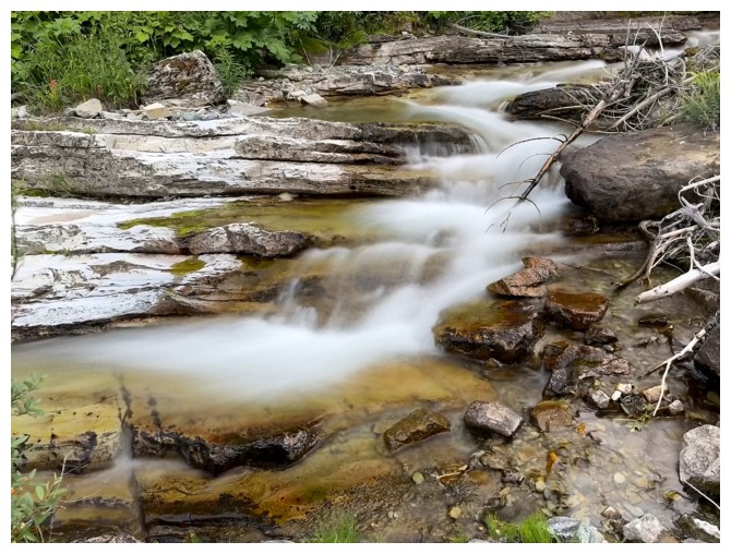 I was relieved an alternate descent
route was available.
I was relieved an alternate descent
route was available.
Above the rock
band I continued up much easier terrain, however under increasingly cloudy
skies. At this point my motivation to make it to the viewpoint plummeted to
practically “non-existent”. In this specific case a cloudy view would be
tantamount to no view at all. I decided I would rather check out that alternate
descent route and spend some time exploring Bertha Creek. The creek was replete
with numerous cascades and waterfalls and had all kinds of scenic potential.
Turns out the
greatest potential of this route was to end my existence! Although the upper slopes were
descended with ease, the lower slopes were teeming with unseen cliff bands. I
ended up having to do some intense downclimbing to get down to the creek.
And to “add
insult to injury”, following Bertha Creek down to the trail was NOT a repeat of
Newman Senior VI or Blakiston drainage north. While quite scenic at times, at
other times travel was difficult, treacherous, or downright dangerous. I was
forced to gain elevation several times to get around huge drop-offs and go to
battle with a few sections of insanely dense bush. Sometime later, the sight of
the Bertha Lake horse trail was a sheer relief.
A good “wake-up
call” trip, to remind me of the potential challenges and risks of unknown
descent (and ascent for that matter) routes. I will visit that highpoint again
someday, but via the tried and tested east face route.
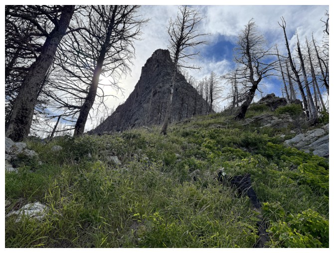
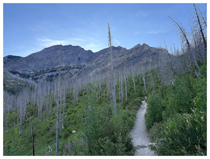
From near the start of the Bertha Lake trail, looking up to where I want to be eventually
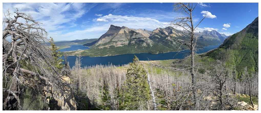
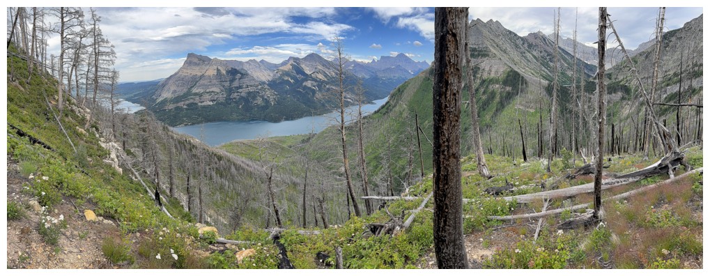
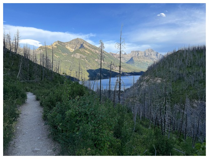
The always rewarding view of Vimy, Boswell, and Cleveland lining the Upper Waterton Lake
At the point where I left the trail
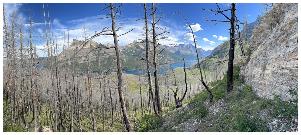
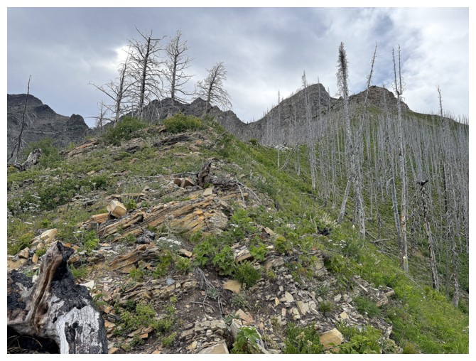
On the ridge that leads to the objective
Same as above. The objective is the second point, left of centre
Trees block some of the view back towards the lake, but I quite like them
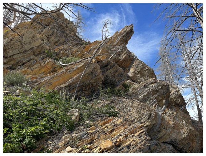
Enough interesting rock to give me motivated and moving
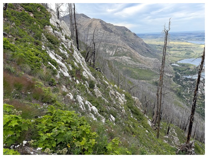
A more open view
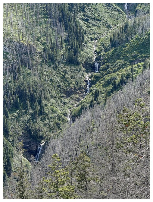
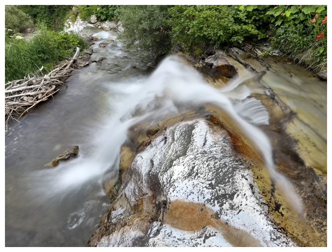
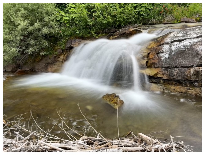
A few of the numerous cascades and waterfalls of Bertha Creek
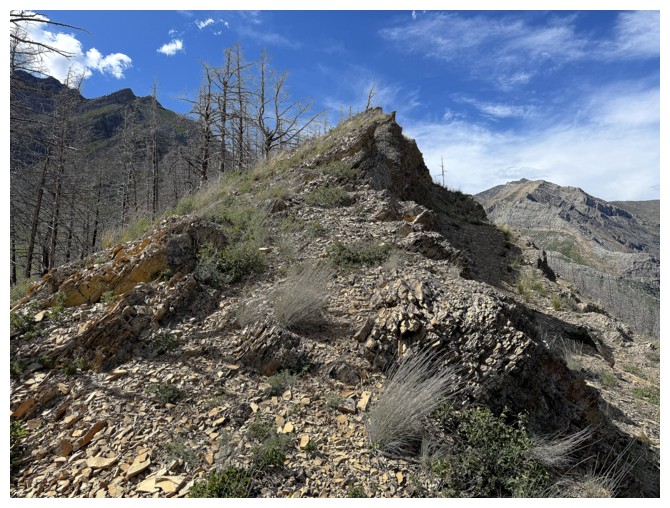
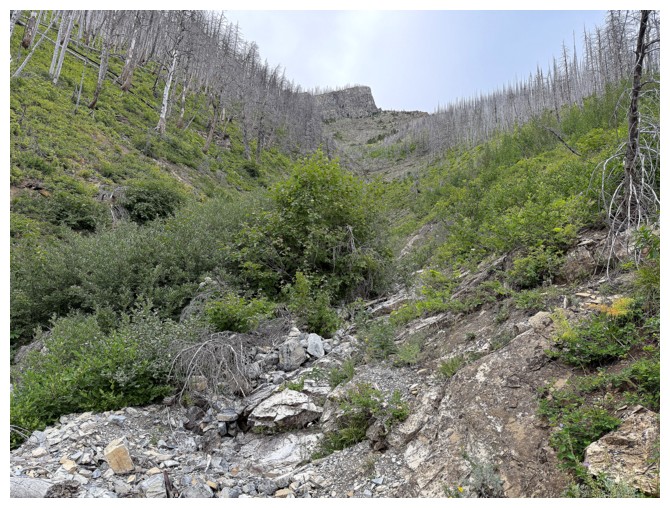
Approaching the major obstacle on the ridge
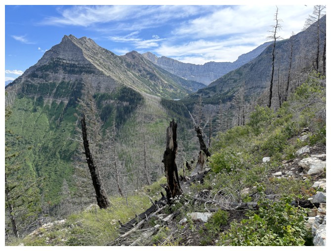
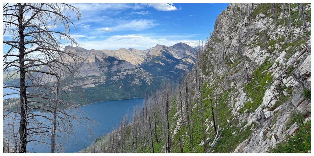
The challenging north ridge of Mount Richards at the left and barely visible Bertha Lake
Bertha Lake

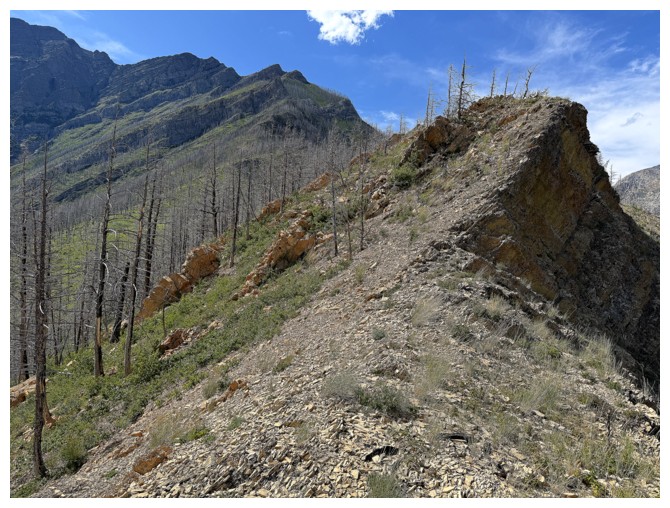
Near the base of the obstacle and ready to go to the right of it
Terrain to the right
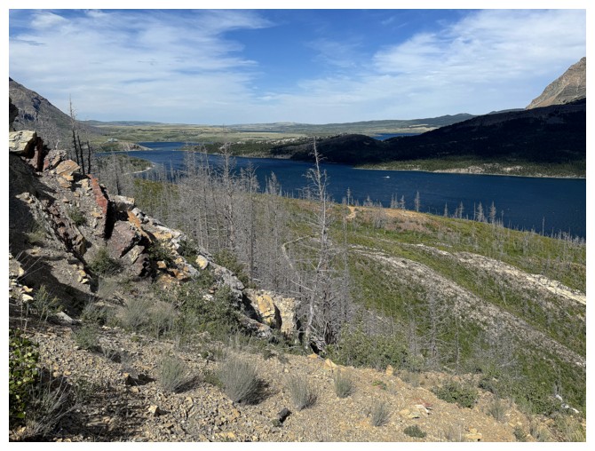
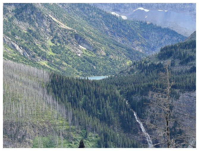
The Middle Lake now visible
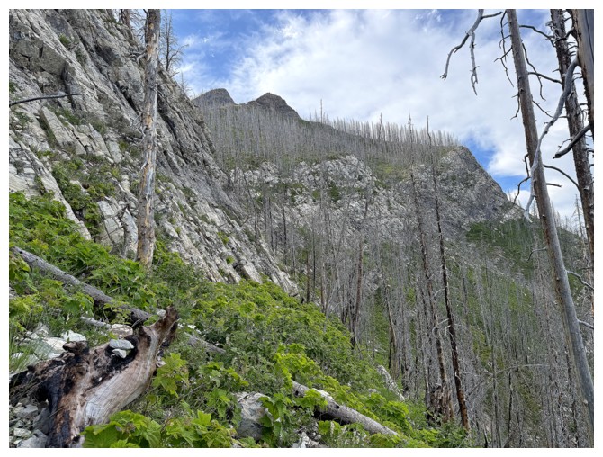
Looking back at what I've traversed so far. Still no feasible route up.
Sometime later, above the difficulties
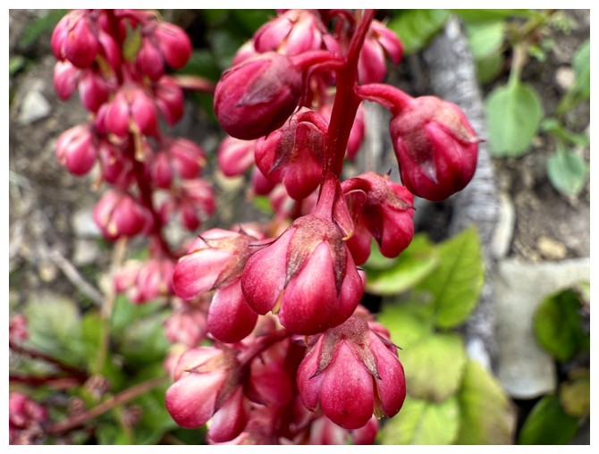
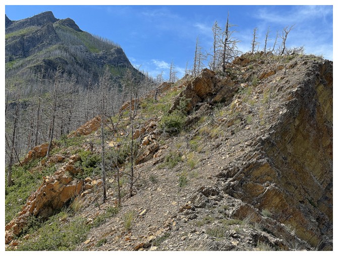
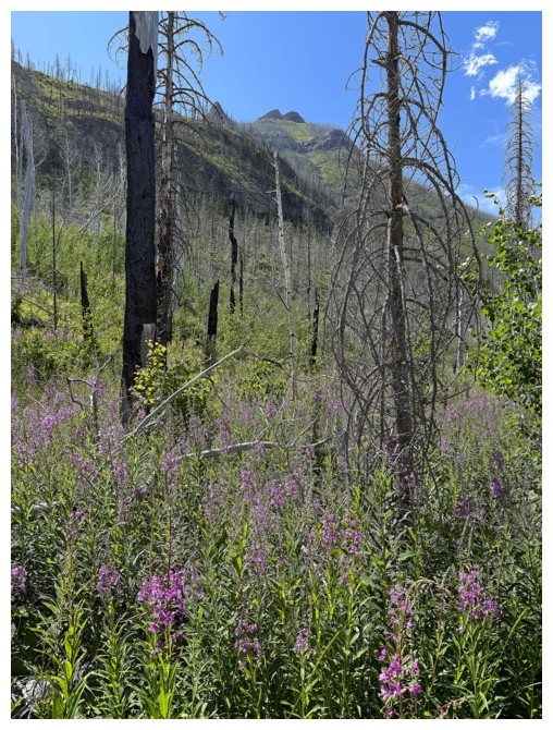
A colourful distraction
In with the clouds, out with my motivation to continue
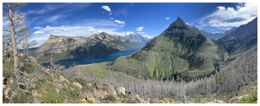
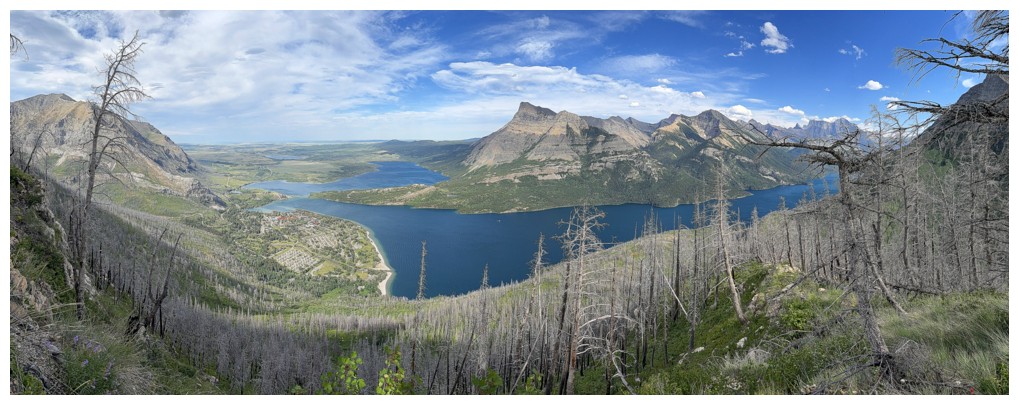
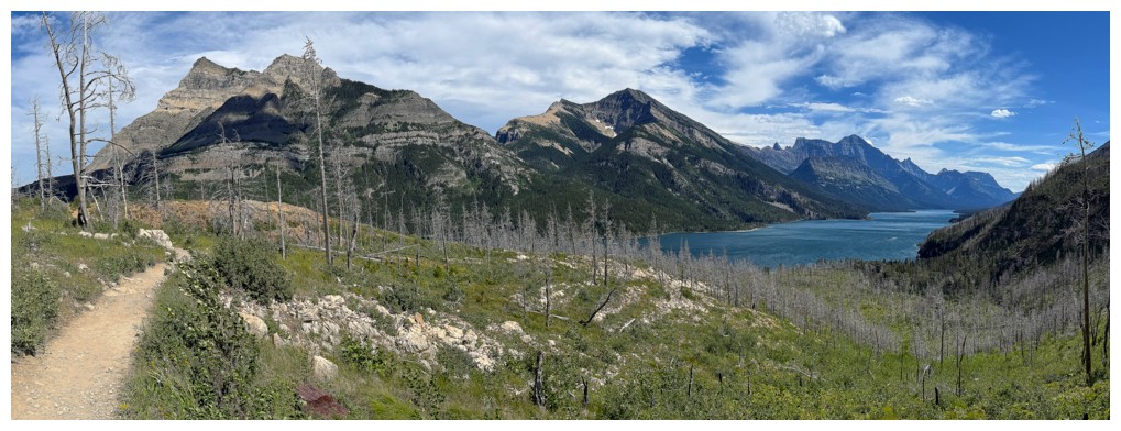
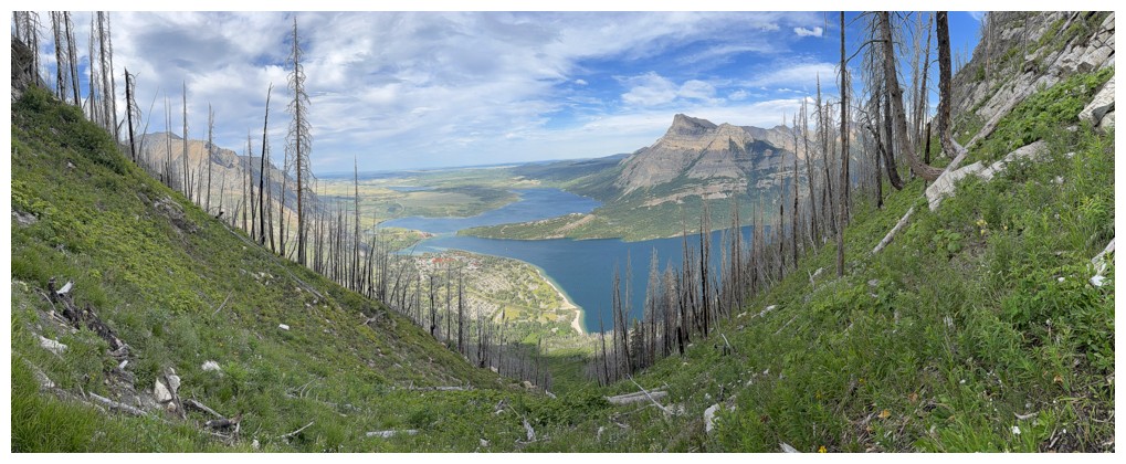
Pano from near the highest point I reached before heading down into hell!
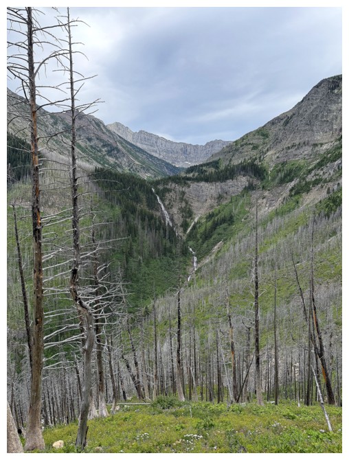
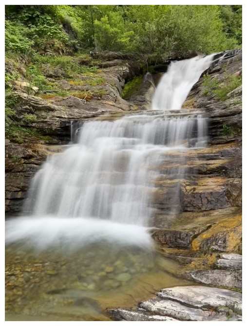
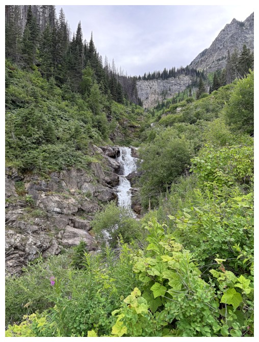
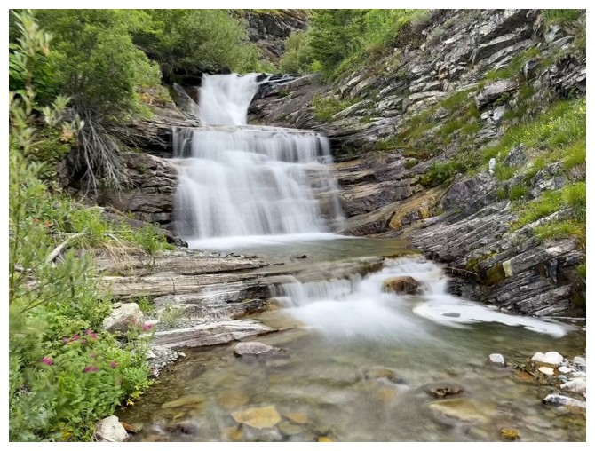
Upper Bertha Falls is extremely impressive, however, close-up views of it are hard to come by
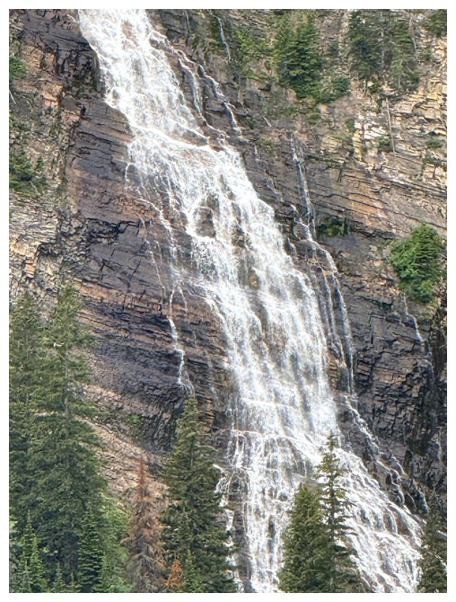
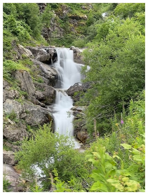
Zoomed-in shot of the Upper Falls
Looking up the easy part of the descent
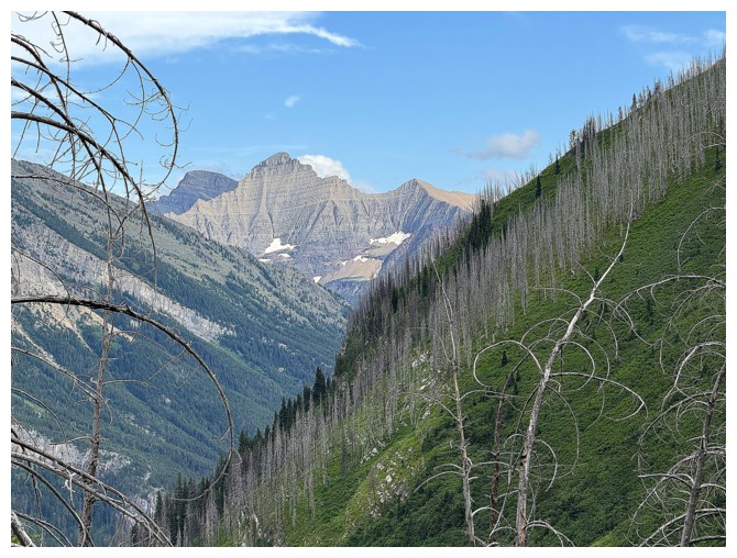
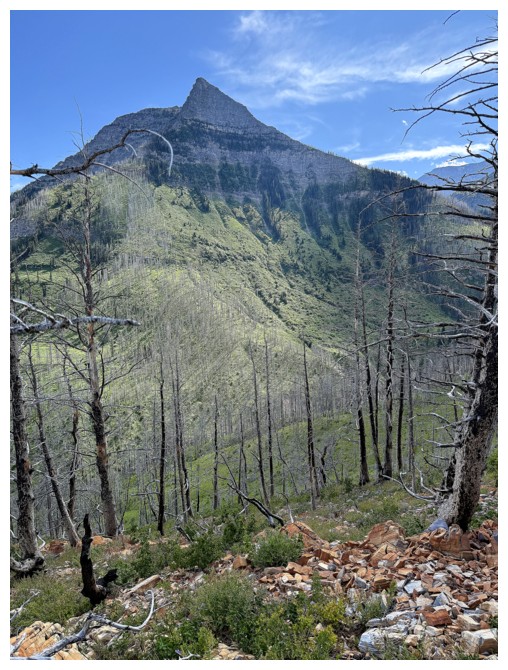
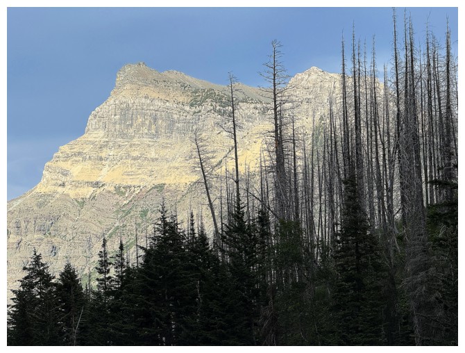
Striking Miche Wabun Peak in GNP
Arriving at the creek after some intense scrambling to get down to it
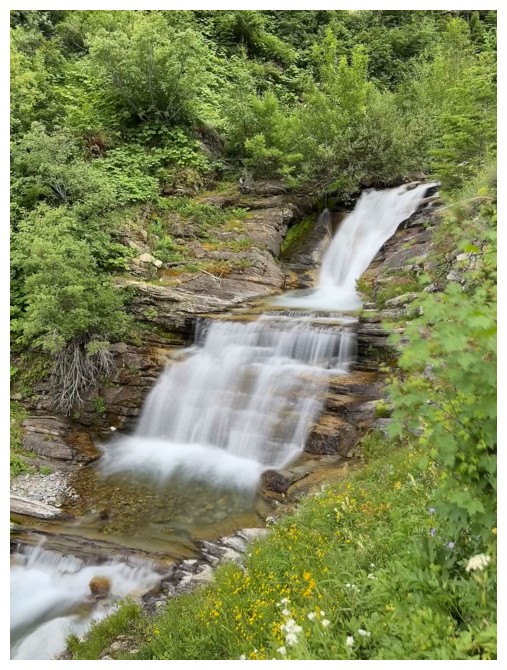
Lots of cascades to photograph, but travel down the creek is as hellish as the route down to it
Vimy Peak
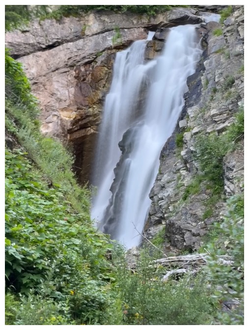
Huge waterfall, but I couldn't get close to it
Severely relieved to be back on the Bertha Lake trail
Looking back at a route I will never go near again!
The End
LOG