Blakiston drainage northeast
June 15, 2024
Highpoint: 2112
m
Elevation gain: 640 m
Round-trip time: 4:50
Solo scramble.
Certainly not
for the first time and hopefully not for the last, I drove the Red Rock Canyon
road in search of some exploratory route that would keep me entertained for a
few hours. With a weather forecast that was far from stellar achieving a summit
not an objective.
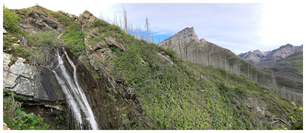
 Several
drainages coming down the northeast side of Mount Blakiston caught my
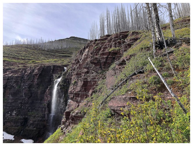
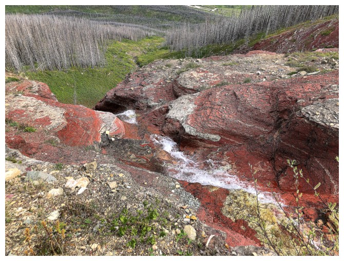
attention. Upon arriving at the end of the road, I had picked the closest one. About
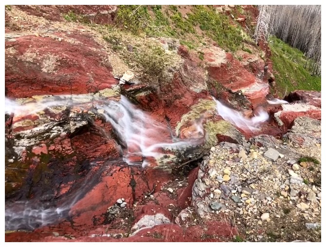
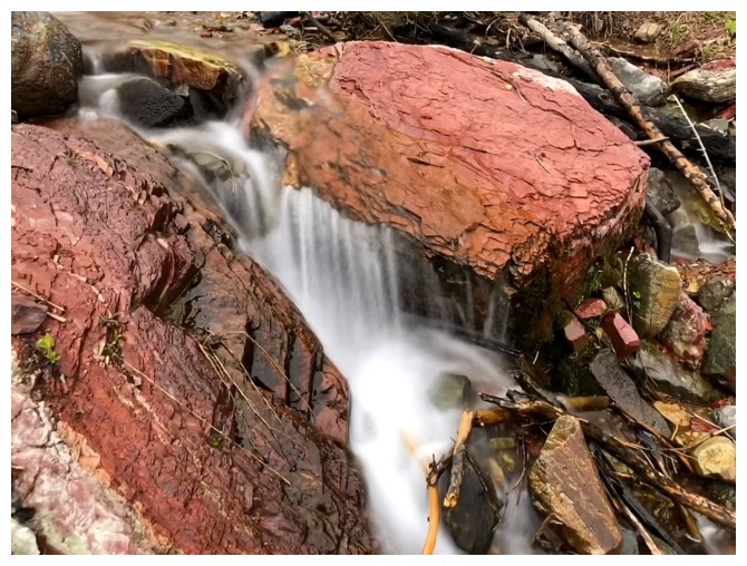
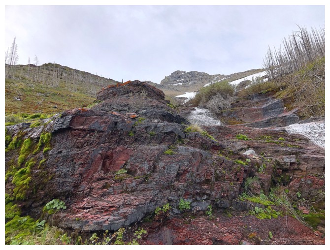
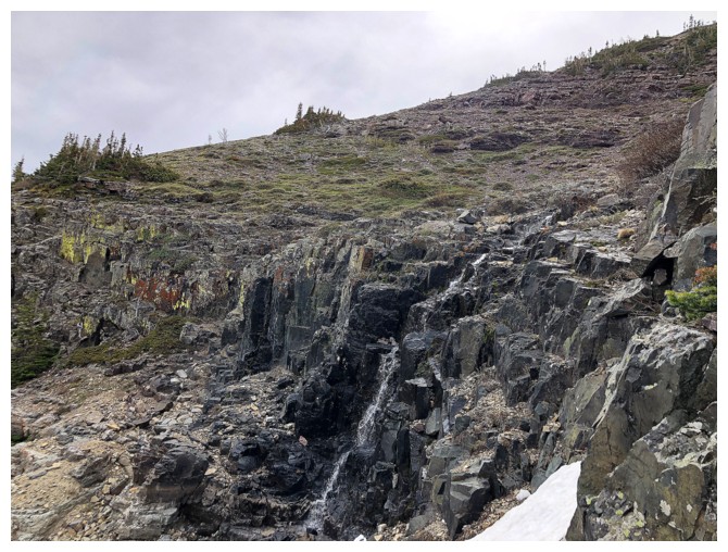
halfway up, it appeared to boast a waterfall pouring down red argillite rock – no
other motivation needed!
Several
drainages coming down the northeast side of Mount Blakiston caught my
attention. Upon arriving at the end of the road, I had picked the closest one. About
halfway up, it appeared to boast a waterfall pouring down red argillite rock – no
other motivation needed!
Getting to the
drainage was generally easy but not a pushover, requiring two creek fords right
off the bat: knee-deep Bauerman Creek followed by almost waist-deep Blakiston
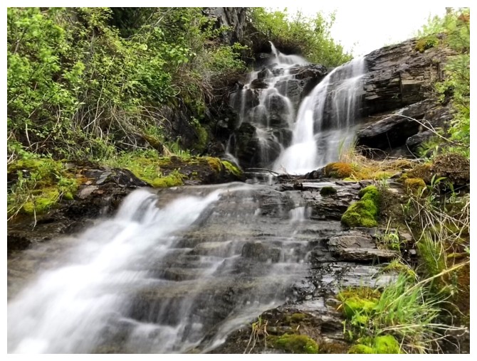
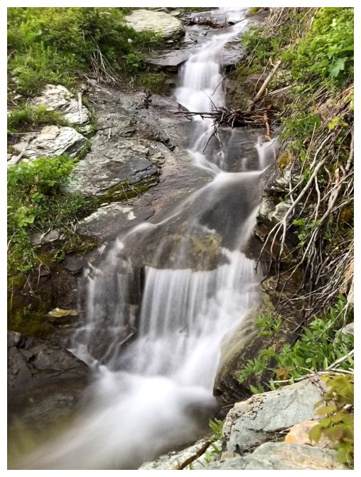
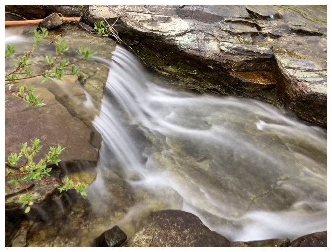
Creek. 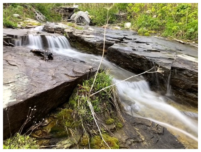 A bit of a bushbash ensued, but once in the drainage, the scenery and
long exposure photos took on a life of their own!
A bit of a bushbash ensued, but once in the drainage, the scenery and
long exposure photos took on a life of their own!
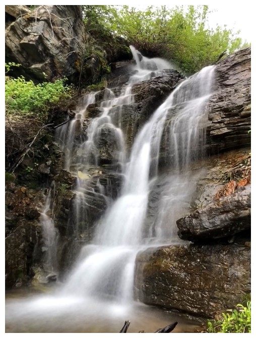
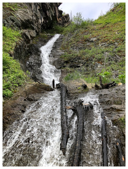
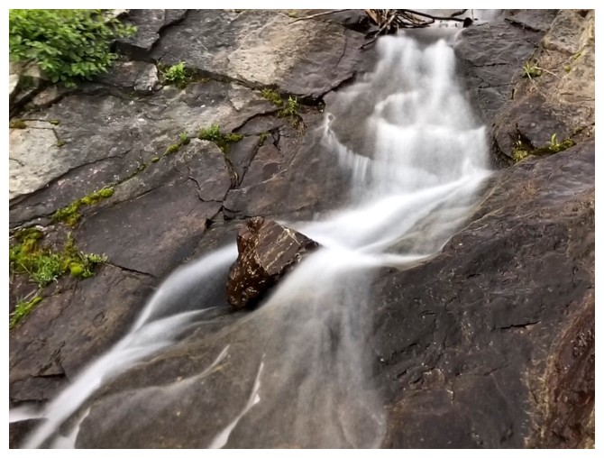
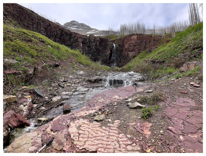
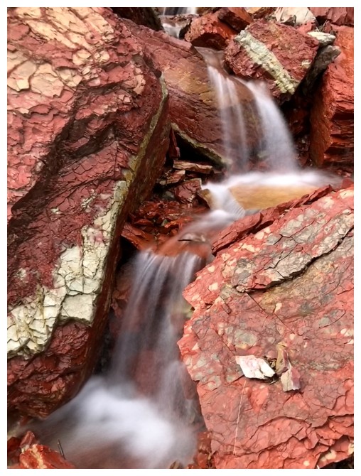
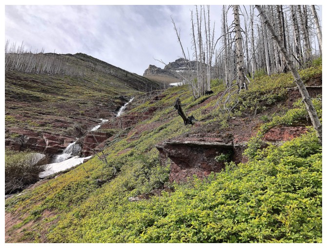
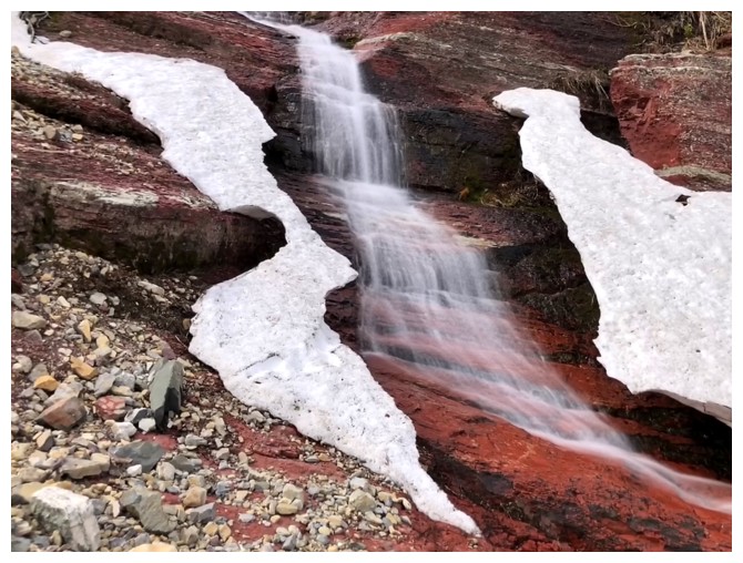
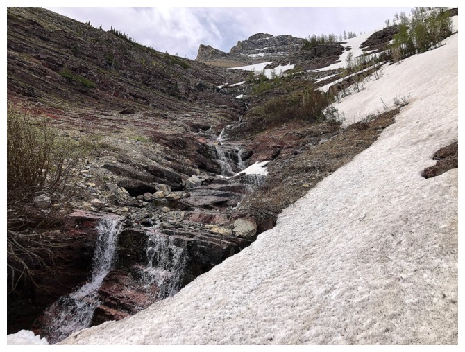
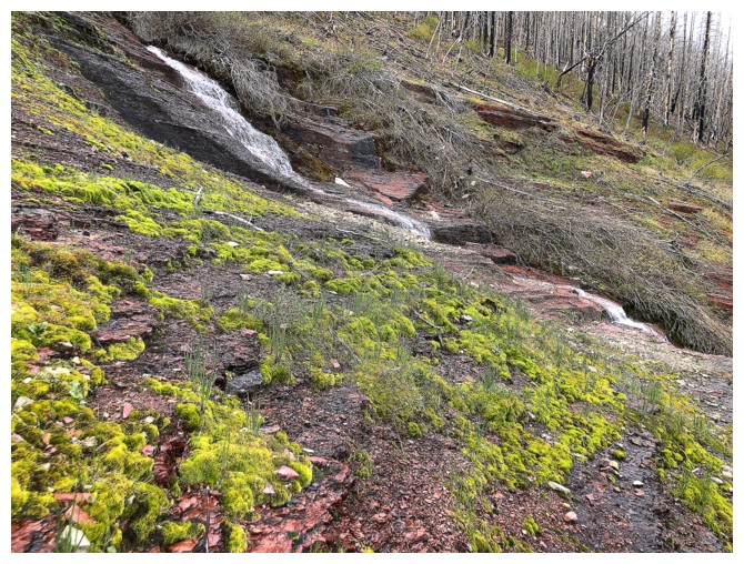
At times, steep
terrain prevented a direct route up the drainage, but in general I was able to
stay in or very close to the seemingly infinite number of cascades and small
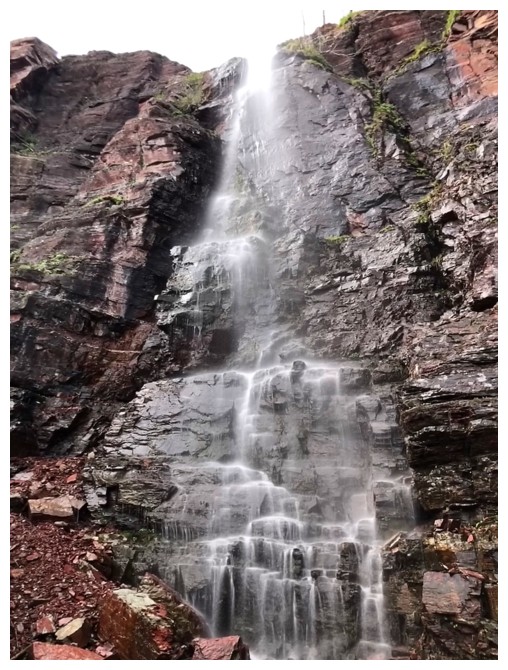
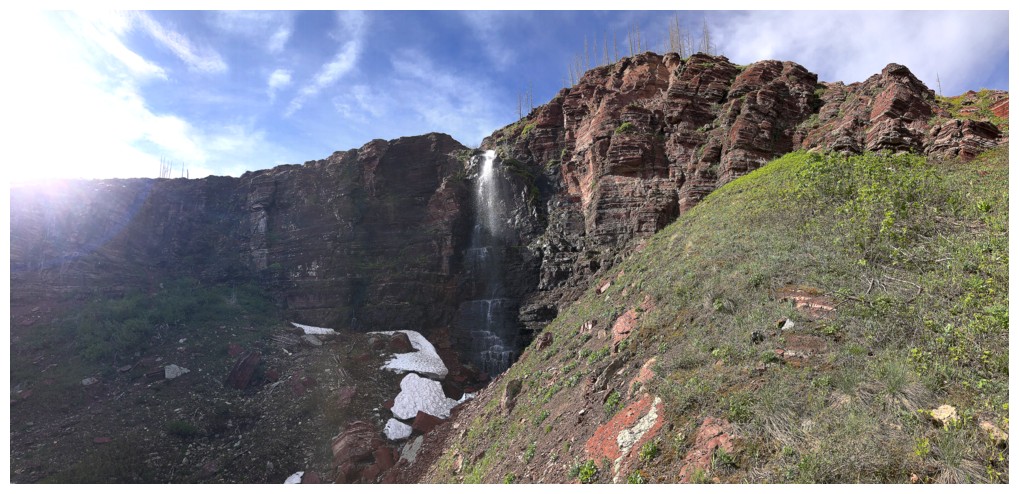
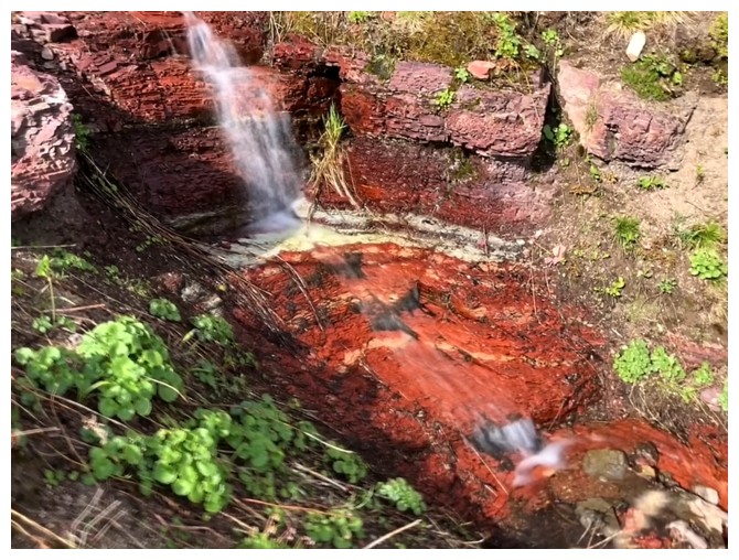
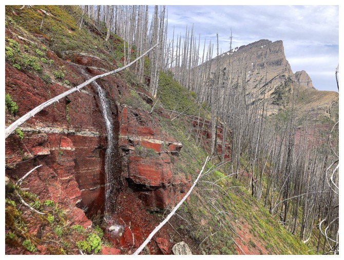
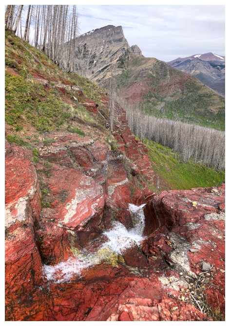
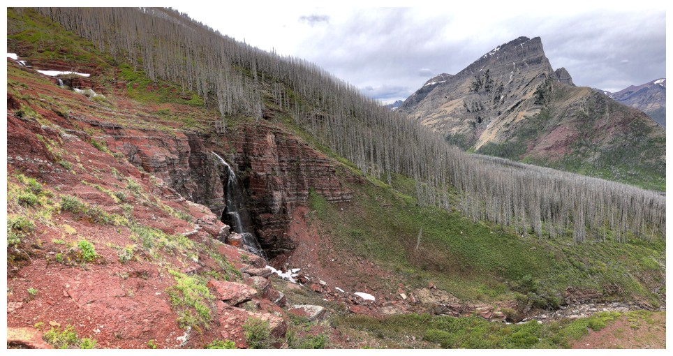
waterfalls (or so the number of photos I took would indicate!). Eventually I
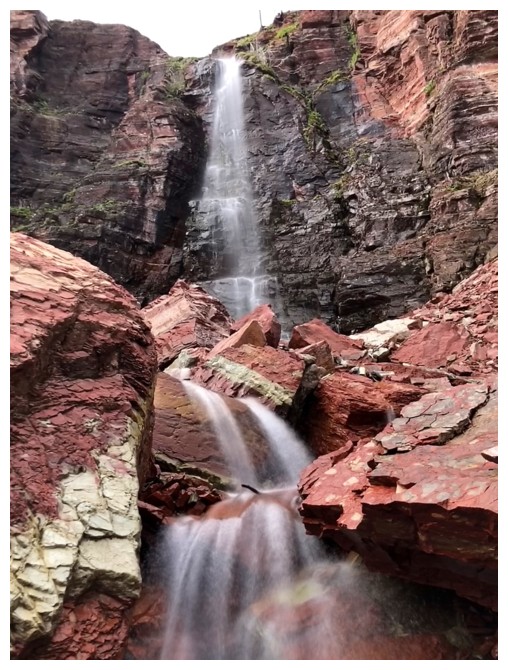
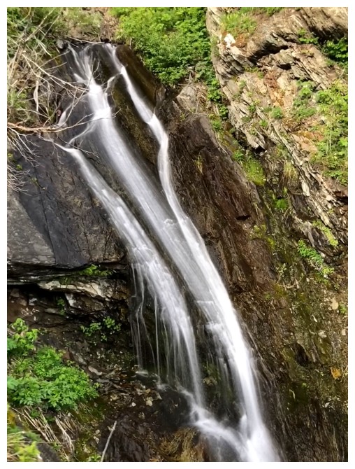
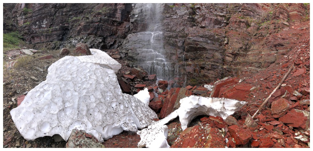
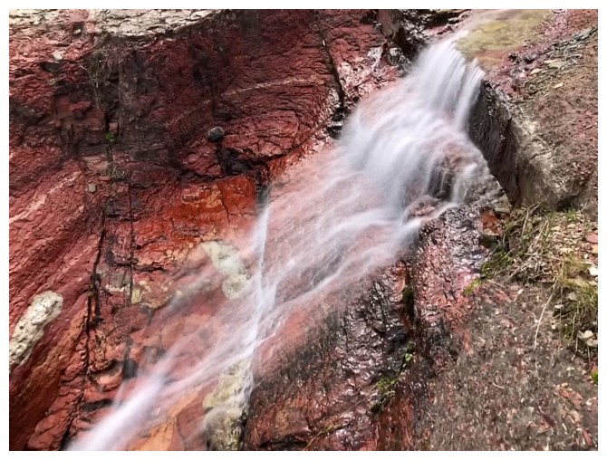
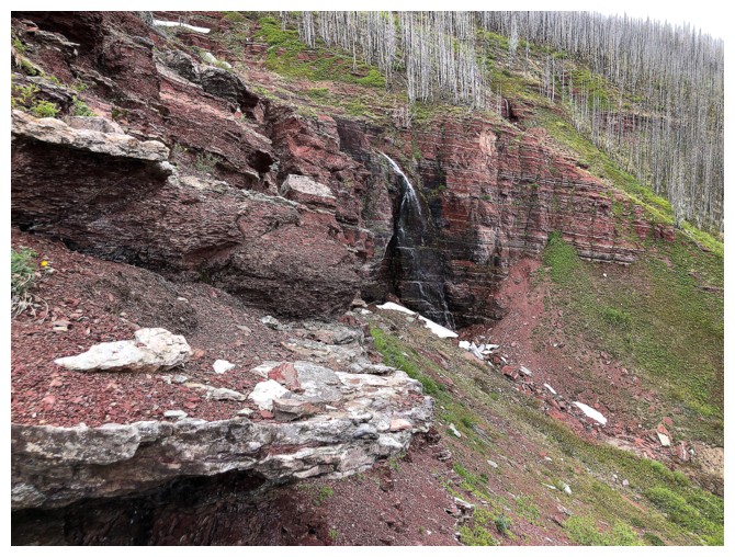
reached the massive wall of red argillite, and it was every bit of amazing as
expected, except for the cloudy skies above. After an extended stay at the
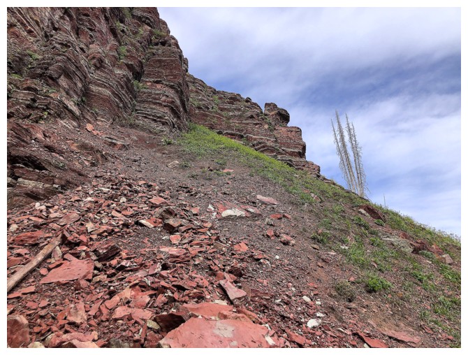
waterfall, I found an easy route to get above it and kept following the bright
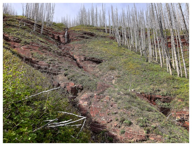
red drainage upwards. I could see a minor highpoint above that would probably
make a decent stopping point.
That highpoint
turned out to not be a highpoint at all, but still was a good place to call it
a day. On descent I followed the drainage down on the opposite side than ascent.
Once below the argillite waterfall, it was much easier and faster to keep some
distance from the waterway.
A fantastic trip,
devoid of a summit and my usual summit fever. Southern Alberta drainage ascents
could be my next mountain addiction!
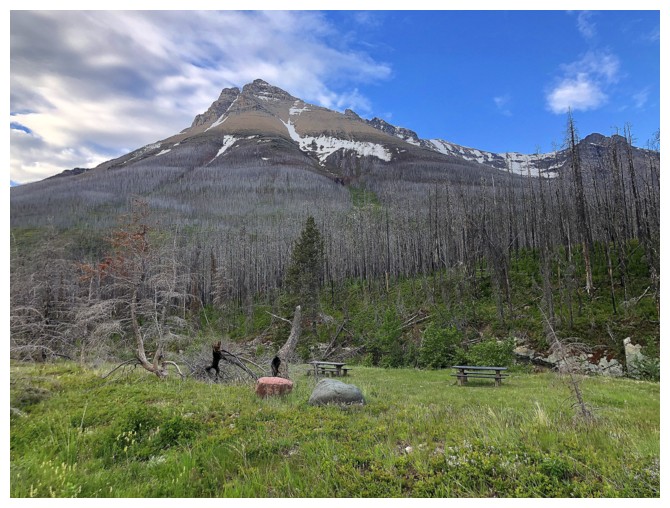
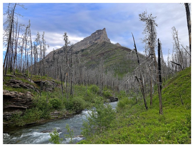
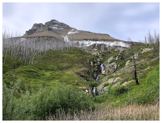
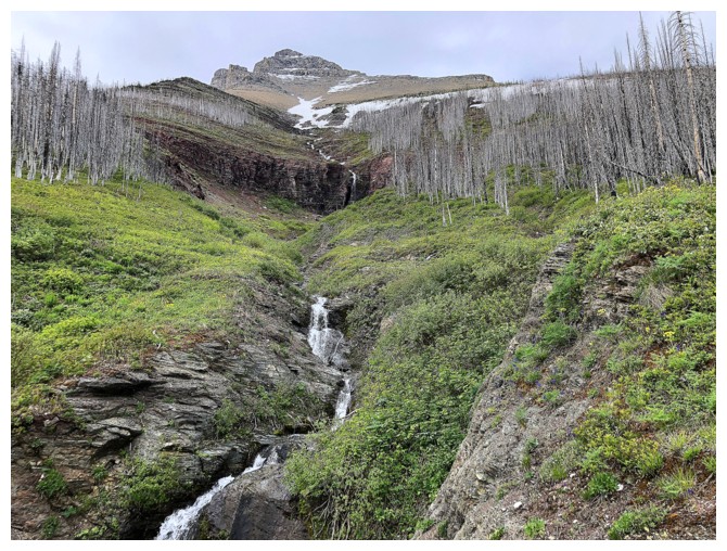
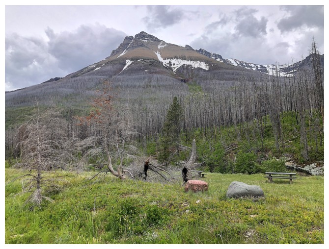
The east end of Mount Blakiston from the parking lot. The drainage I ascended goes up the middle from right to left.
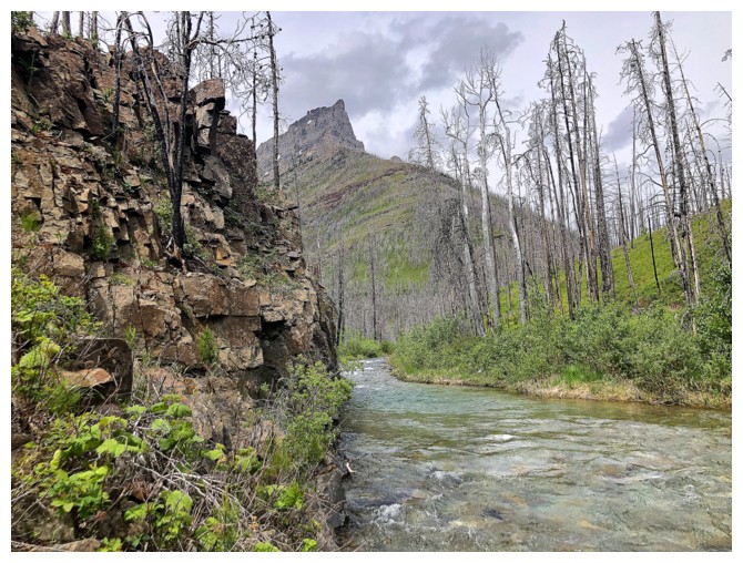
The east end of Anderson Peak and Blakiston Creek
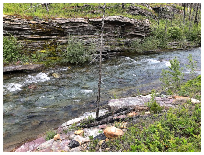
At this time of the year the creek is deep and fast flowing
There's the drainage near the right
Here we go
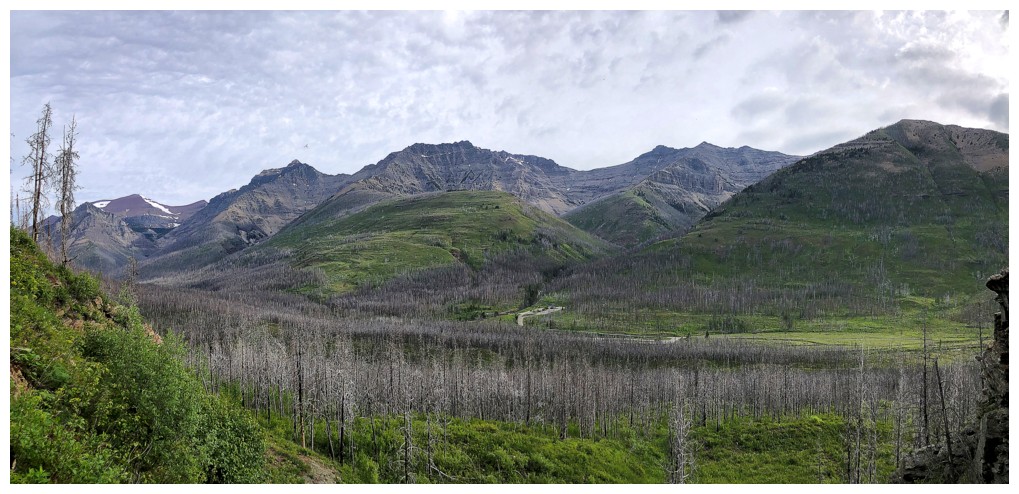
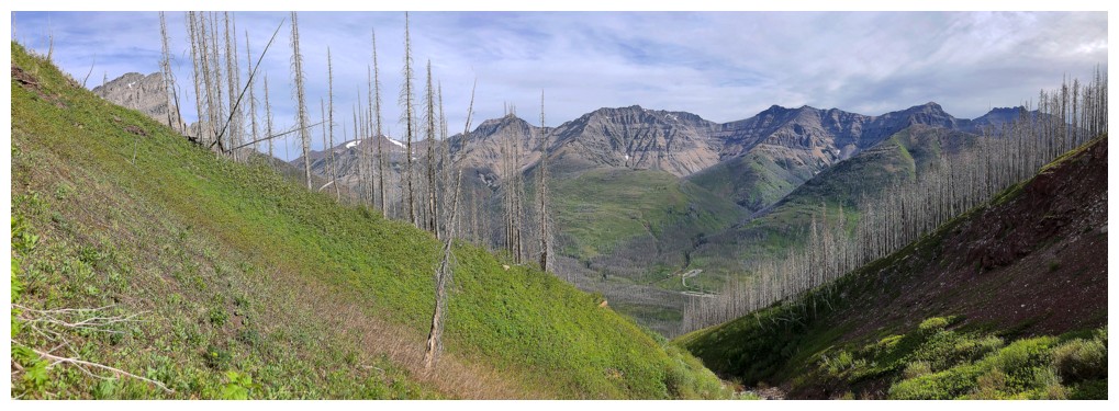
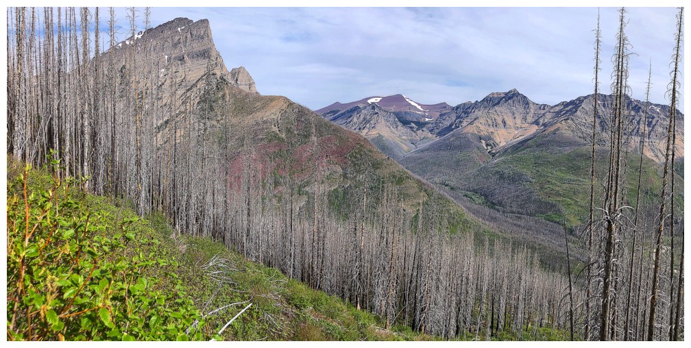
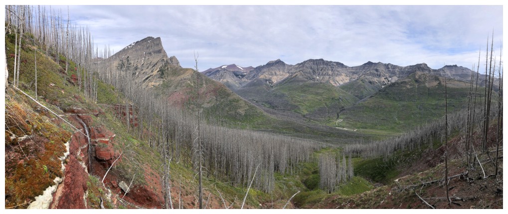
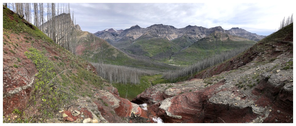
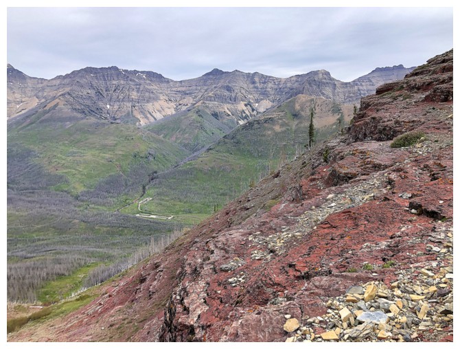
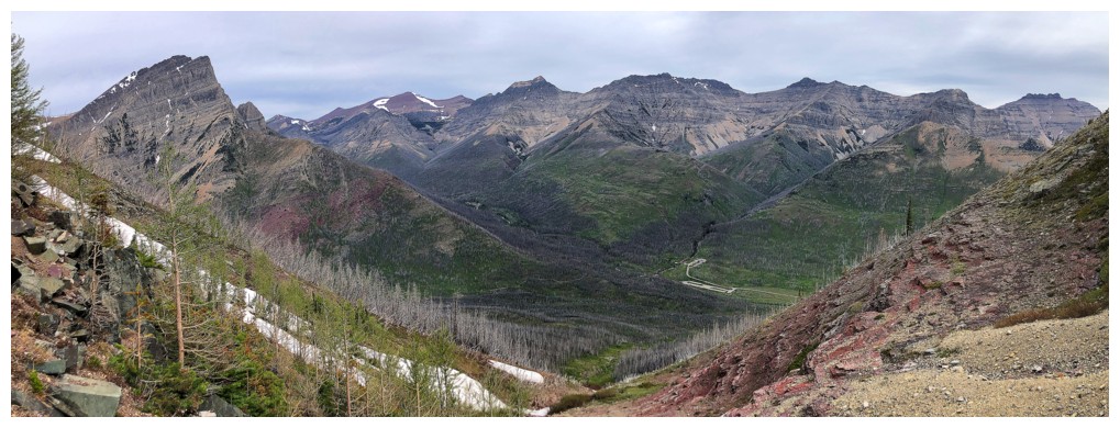
Lots of familiar faces across the valley: Newman Senior, Glendowan, Cloudowan, Cloudy Ridge, and Dundy Junior
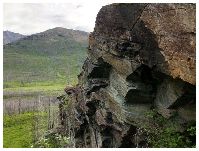
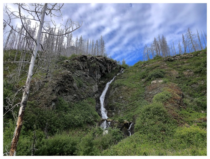
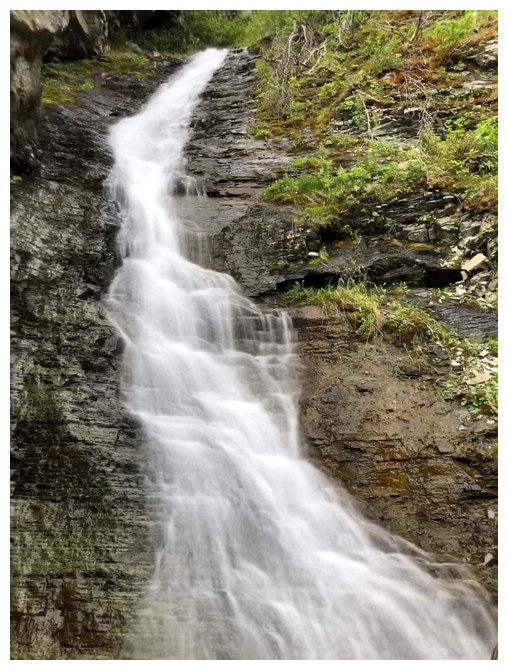
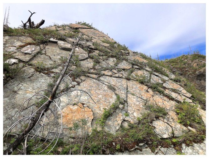
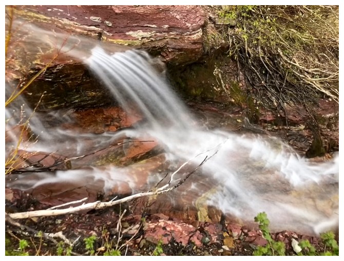
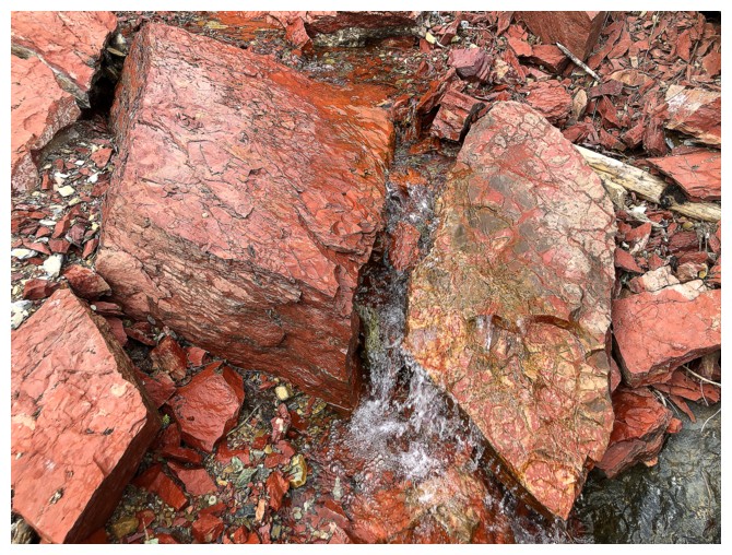
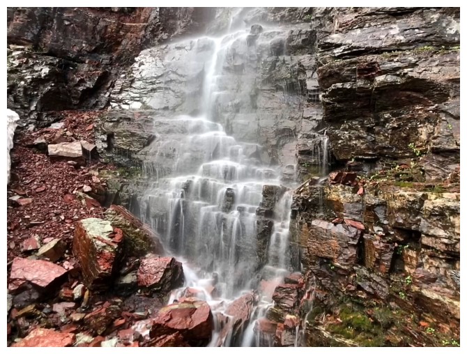
Would have liked some Sun on this rock
The next section was more challenging due to the bush around the drainage and the steepness of the drainage
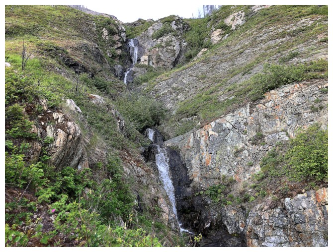
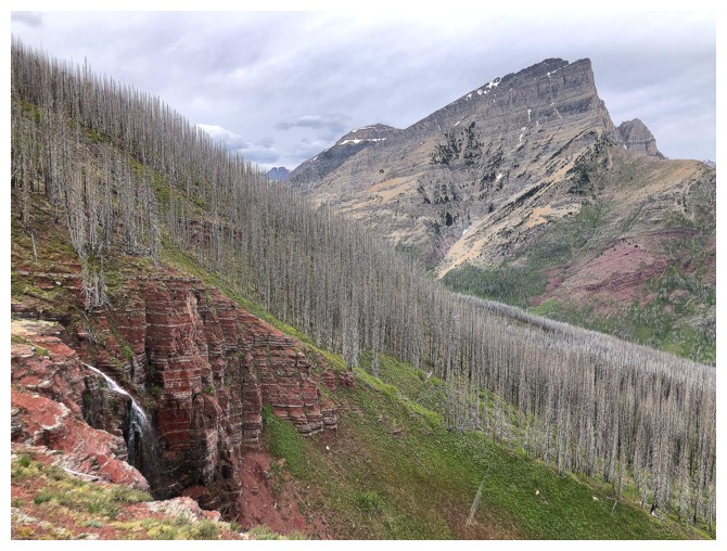
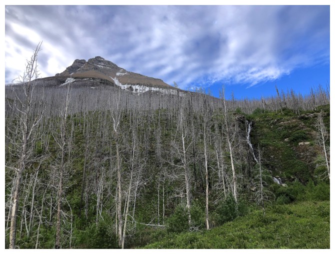
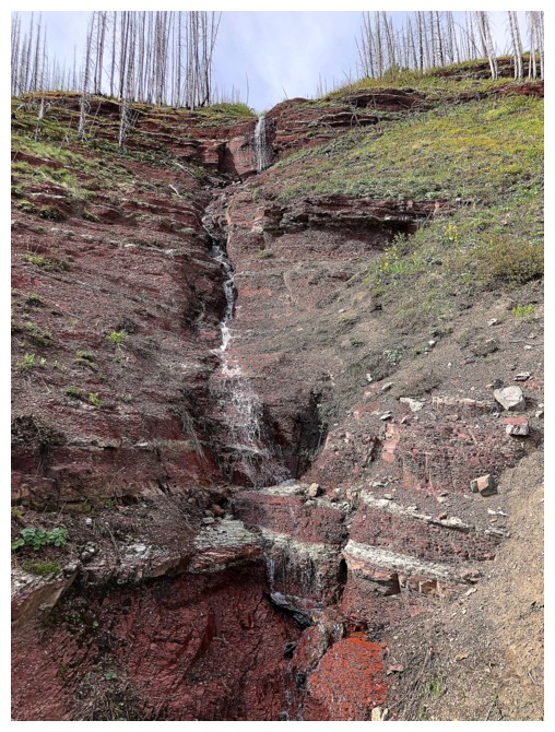
The red argillite band is in visual range
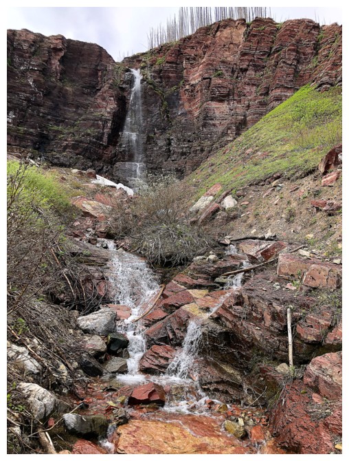
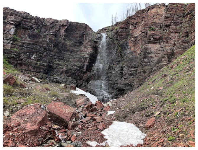
Arrived
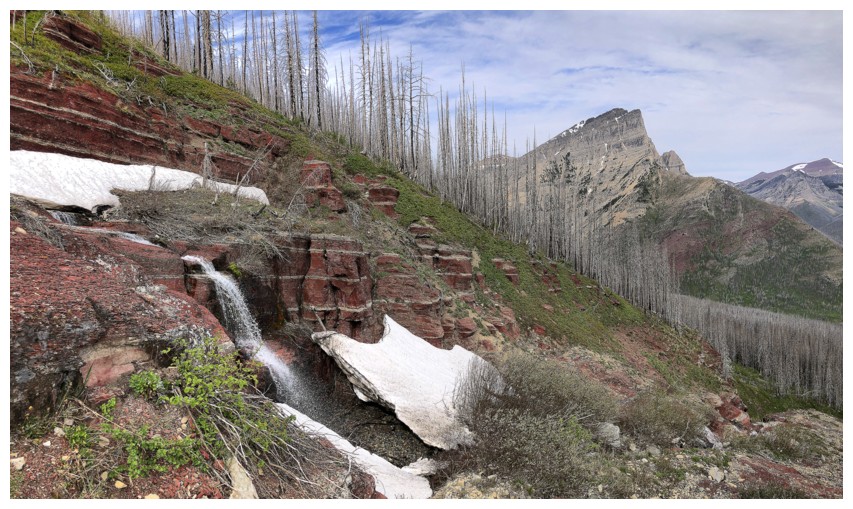
Eventually I went up here to get above the waterfall
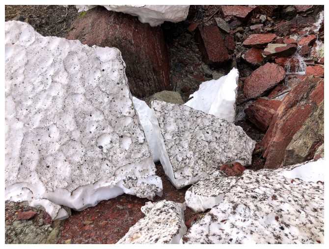
The last remnants of winter

Gaining elevation again
Almost above the fall
There's another drainage to the right of the main one
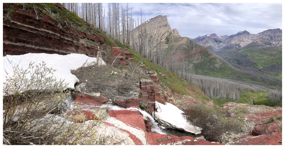
The view is opening up
The right drainage
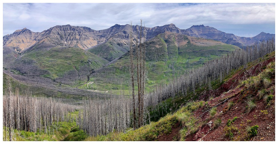
Dundy, Dungarvan, and Rogan Peak join the view
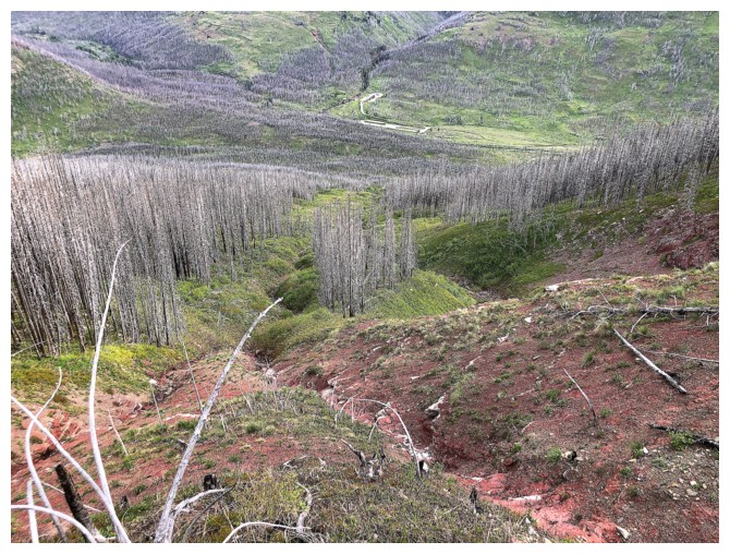
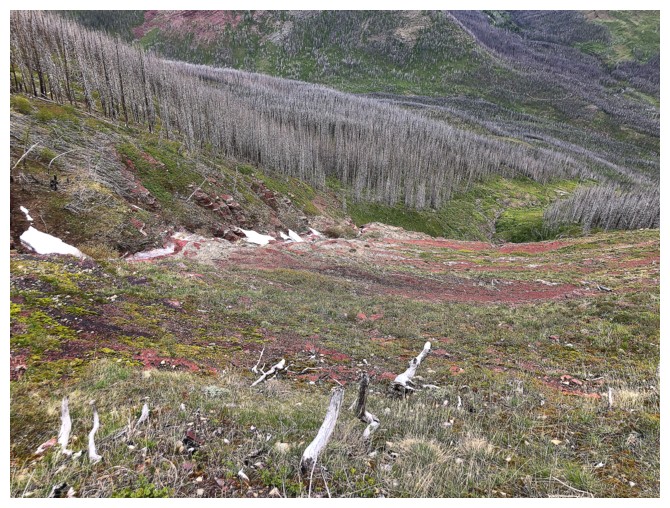
Looking down the route all the way to the parking lot
Traversing back to the main drainage
The goal at this point was to make it to the highpoint at the left
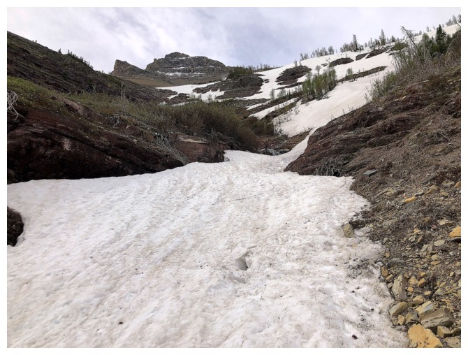
The snow helped here
The famous igneous rock band
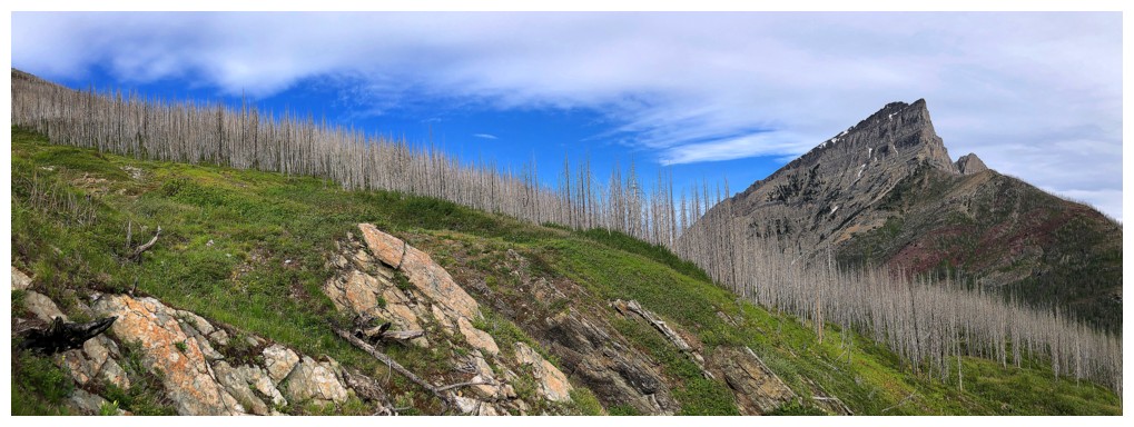
Most open view of the day
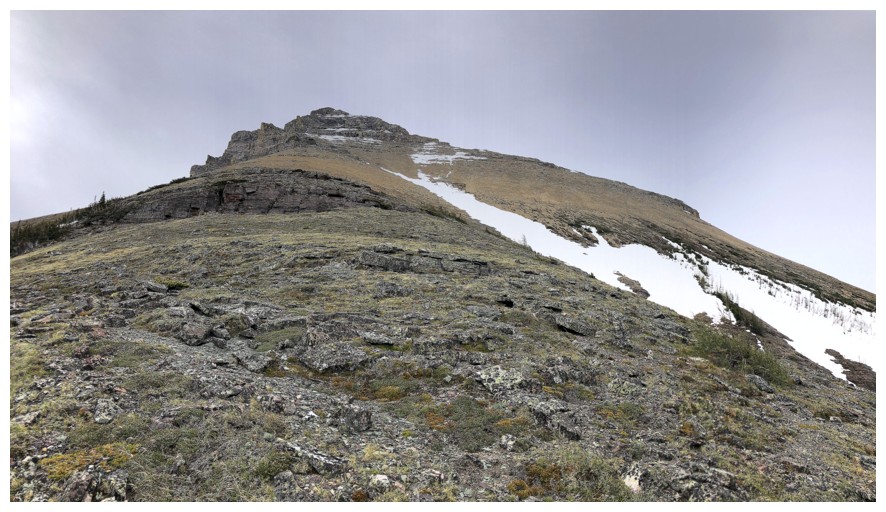
I stopped here. The summit above is still over 400 vertical metres away
and the summit of Blakiston even further and apparently a 4th class
climb.
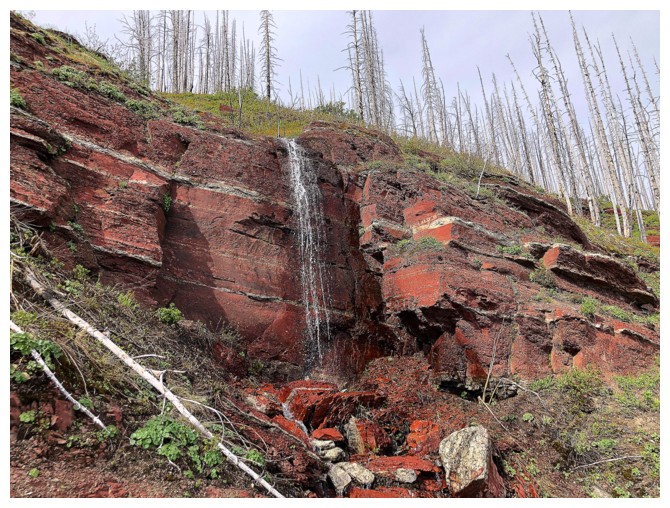
Heading down
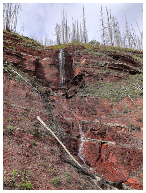
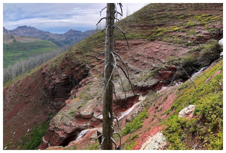
The waterfall from the other side
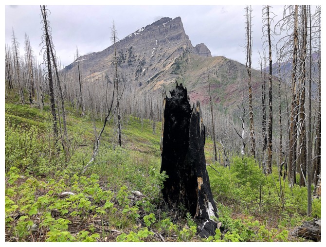
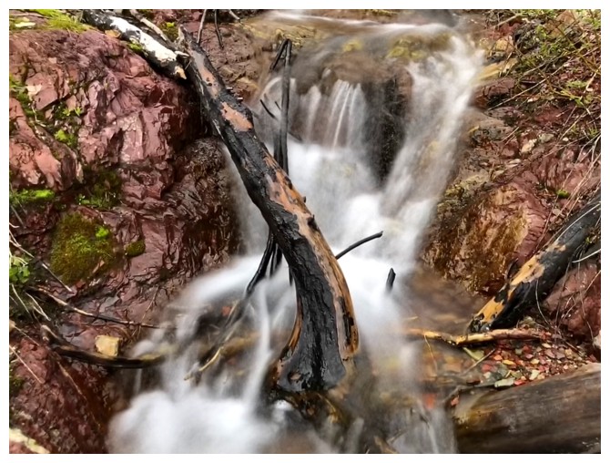
That one lost the battle in the Kenow fire!
Black to Blakiston Creek
Back at the start
The End
LOG