Blue
Mountain
November 25,
2018
Mountain
height: 1715 m
Elevation gain: approximately 440 m,
but normally 340 m
Ascent
time: 1:20
Descent
time:
2:30 (took the scenic route!)
Solo
scramble.
Blue
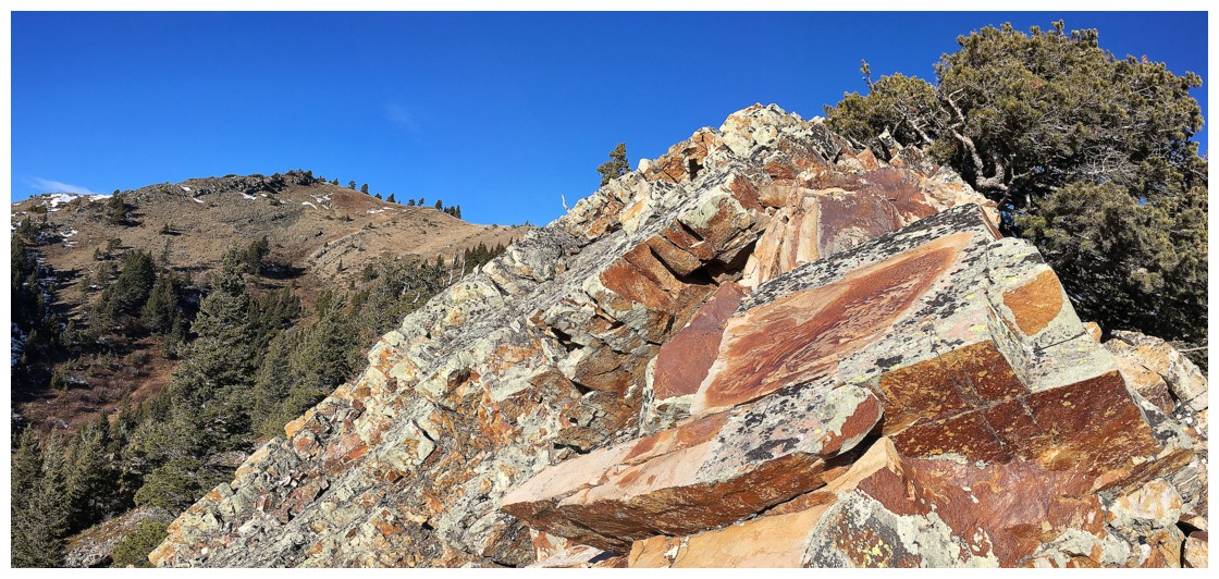
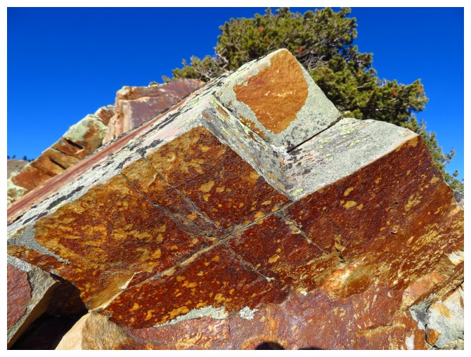
Mountain is terribly named. A more fitting name would be “Orange, Rust, Yellow,
Multiple Hues Of Green, Grey, Chartreuse, A Weird Shade Of Fusia, Umber, Pale (But Not Too
Pale) Pink, Ochre, And Every Other Colour You Can Think Of, Shake A
Stick At, And/Or Throw The Kitchen Sink At (Except Blue) Mountain”. The next generation of cartographers had better be using a small font for the next official
topographical map!
 Searching for something short and easy, so I
could be back in time to watch the Calgary Stampeders face off against the
Ottawa Redblacks in the 106th Grey Cup, I was extremely lucky to receive a text
from Dave McMurray, suggesting Blue Mountain as a great fit for those criteria.
Dave had ascended the lowly peak a couple of times and raved about both trips.
However, even Dave’s enthusiastic endorsement didn’t prepare me for how awesome
the trip actually was.
Perhaps
the above statement needs a little
clarification or context – I wouldn’t want half the world running up
Blue
Mountain and asking “what’s this twit on about?!” (me, not Dave). As
some may know, I love the combination of colourful rock and clear blue
skies. I’ll take a sunny day on 2258 m Prairie Bluff over a cloudy one on 3544
m Mount Temple anyday! This is simply a personal preference – one that some
will share and others will not. At an elevation of 1715 m with a gain of 340 m,
Blue Mountain will hardly be giving hardcore mountaineers or scramblers a run
for their money and few will experience the same sense of accomplishment that
they would upon reaching the summit of aforementioned Mount Temple. To me (and
Dave also) Blue is simply a wonderful little mountain with a few fantastic
little surprises and therefore more than worthy of the effort.
Onto the trip
Following Dave’s excellent instructions, I
hiked to the southeast ridge and started up. As Dave describes, the ridge is a
wonderful surprise in itself – beautiful rock and fairly narrow in places. It
seems quite out of place on this rounded hump of a mountain. 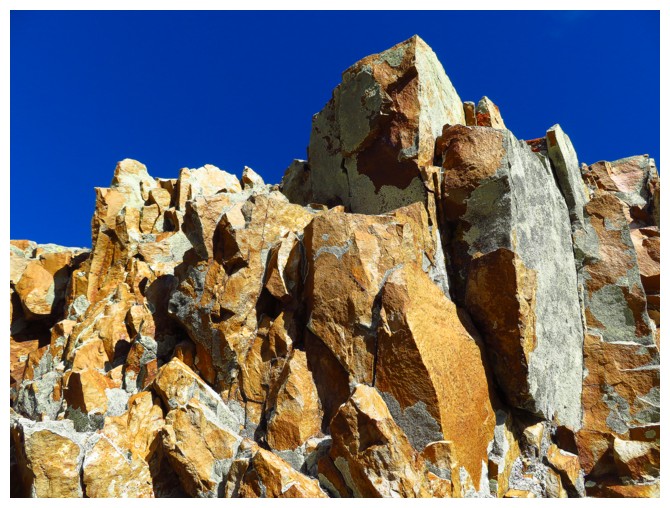 Going up the
southeast ridge, I noticed that the south ridge appeared to have some fairly
interesting rock of its own and also appeared to be part of a potential loop
route - put that idea in my pocket for now.
Although I’m sure I could have made the summit in less than hour from
the car, innumerable scenes of vibrantly coloured, lichen covered rock along
the fascinating ridge stopped me dead in my tracks. Eventually the southeast ridge joined with the
south ridge and the summit followed shortly. I had a little chuckle approaching
the summit cairn that Dave had built and named “Steve”. The weather to the west was not stellar, much
of the Flathead Range draped in heavy cloud, however, views were still excellent.
From the summit, heading straight down the
south ridge looked to be a breeze and so it was. I soon came across the
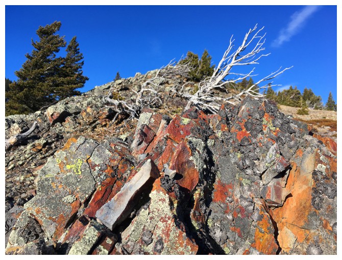
interesting rock spotted from the southeast ridge – beautiful conglomerate rock
streaked with patches of red and orange lichens. It quickly became clear that
this rock would be best viewed from below. As such, I descended most of the
south ridge, swung around to the east side of the rock, and re-ascended the
east side of the ridge below the rock.
“Interesting” turned out to be a pretty weak
adjective to describe the rock – it was ridiculous! One formation in particular
took on the striking profile of an ape (perhaps the distant cousin of the
orangutan of Mount Denny). Higher up, the rock band became overhanging
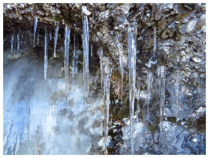
and a few small but beautiful frozen seepages were encountered. Eventually I
arrived back on the south ridge, having fully circumnavigated the wonderful
rock band.
That wasn’t the end of the good stuff however. This
trip had already exceeded my expectations by leaps and bounds (really, really,
BIG ones!) and the mountain seemed to be littered with hidden treasures. Really,
I just wanted to go back to the southeast ridge to see the cool rock there,
now that the Sun was in a slightly better position. This entailed a very scenic descent
into the valley below and then an infinitely more scenic ascent back up to the
ridge. This is because when you ascend the southeast ridge you miss what is
below the ridge, on the west side. And the “what” is a smorgasbord of insanely
colourful rock and stunning formations. After a lengthy stay, enjoying the unexpected
spectacle, I retreated back down the southeast ridge and back to the start,
having plenty of time to drive back to Calgary and watch the Stampeders win the
Grey Cup – could not have asked for a better end to an already amazing day!
Huge shout out to Dave for recommending the
route and for his adventurous spirit in exploring the hidden gems of Southern
Alberta.
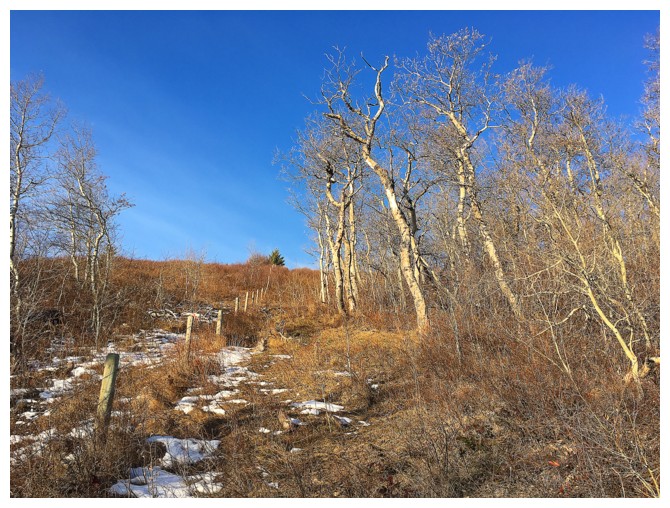
The hikes starts with a pleasant hike up a cutline
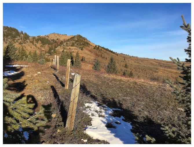
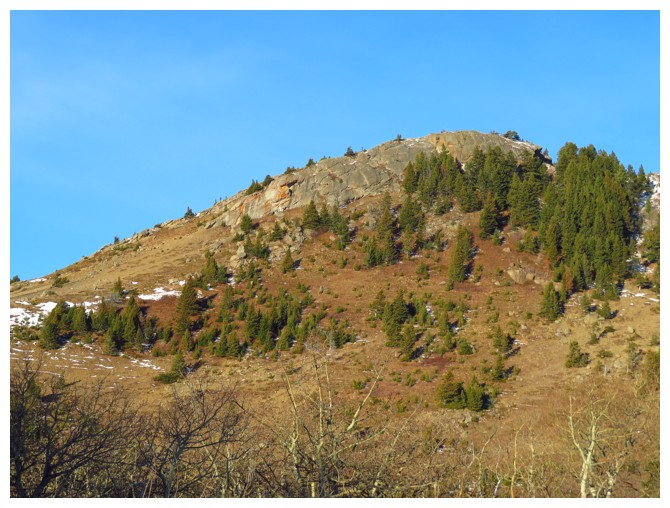
On the southeast ridge. Looks nice from here, but it's way nicer than nice!
The "interesting" rock band on the south ridge
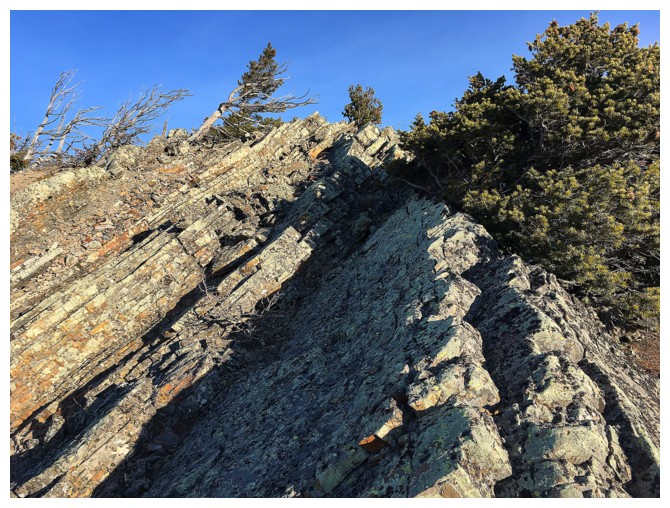
Pleasant ridgewalking on terrific rock
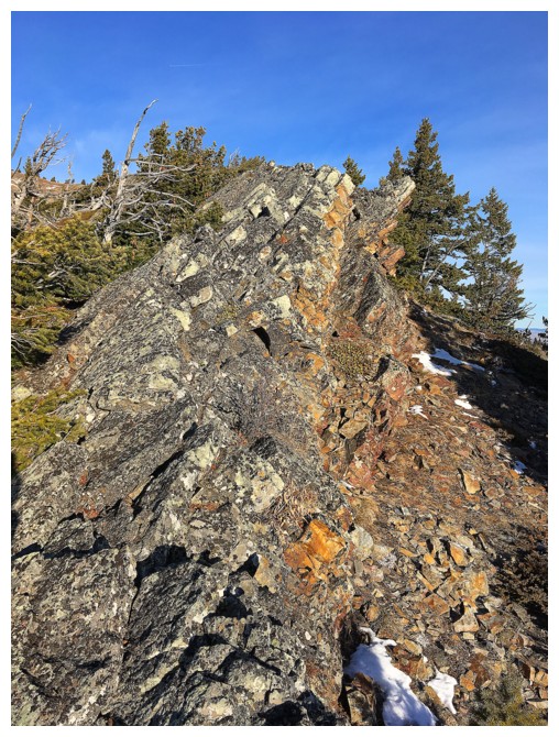
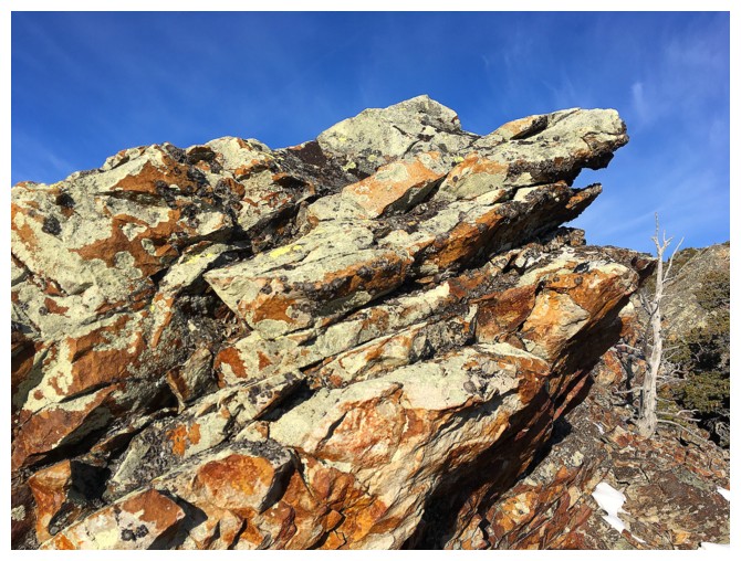
Things are starting to look cool!
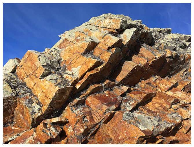
Things are starting to look crazy!
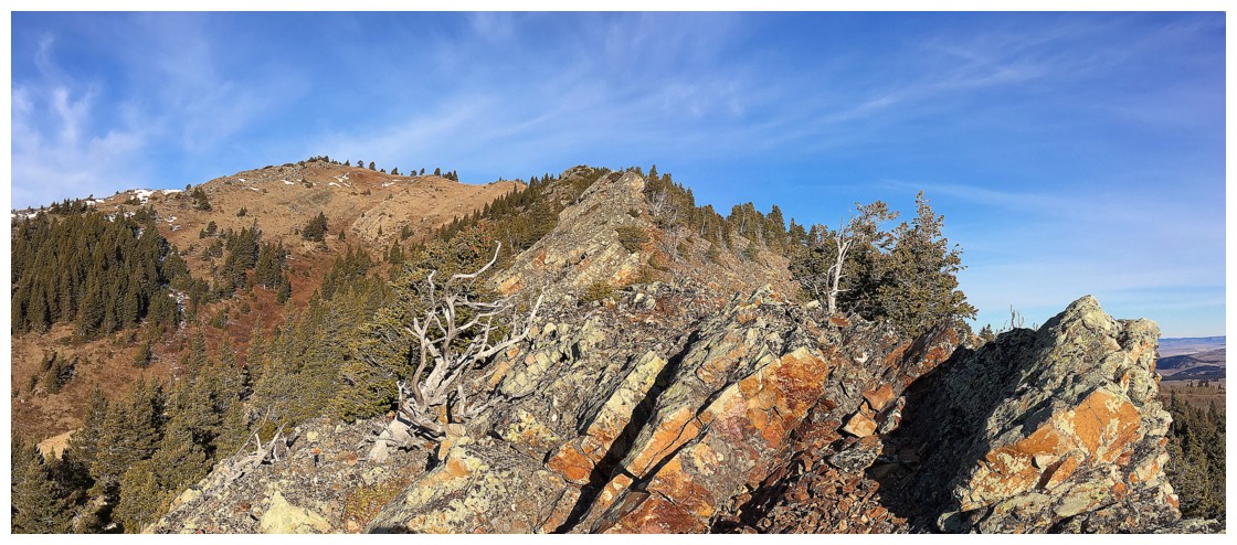
More sweet ridgewalking
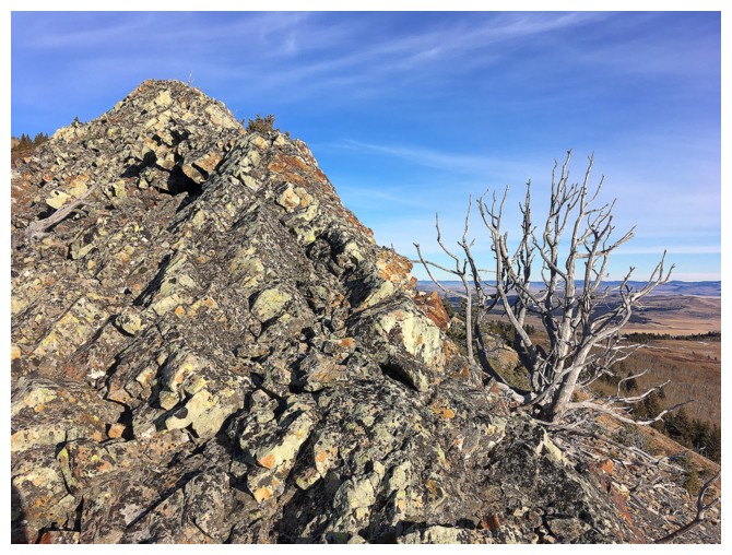
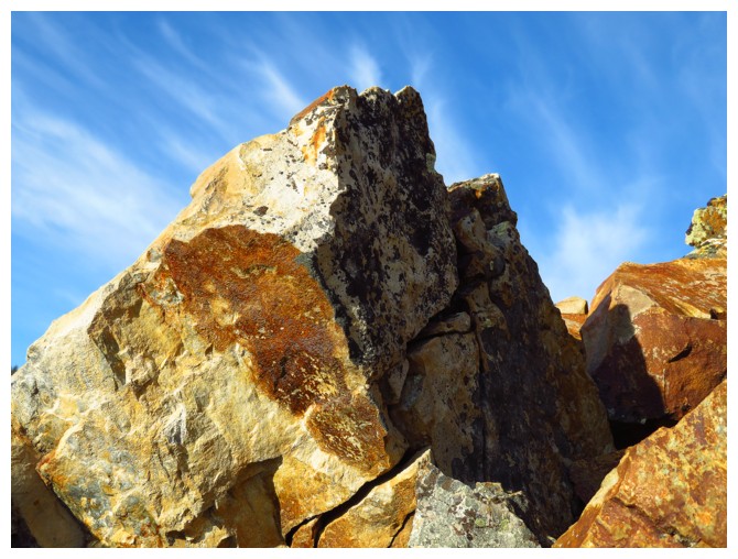
Love this rock!
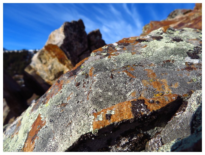
....and the lichen
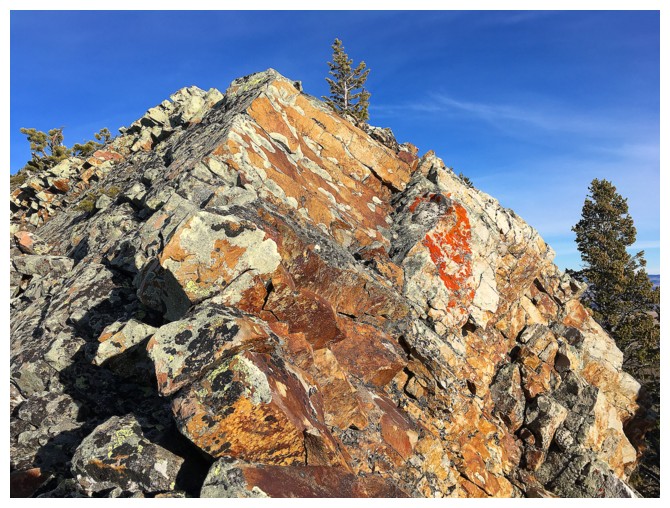
One of my favourite sections of colourful rock on ascent
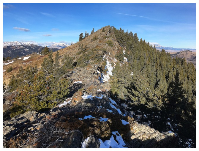
At the end of the southeast ridge looking at the summit
Heading to the summit
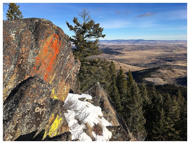
Relatively speaking, this rock wasn't that colourful!
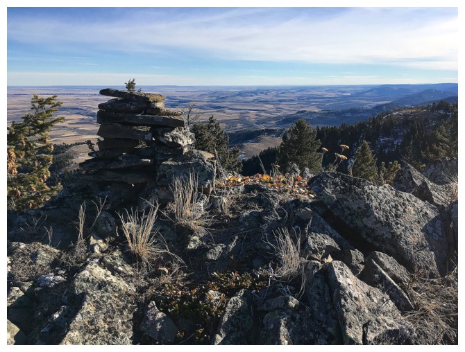
"Steve" the cairn. Great name, Dave!
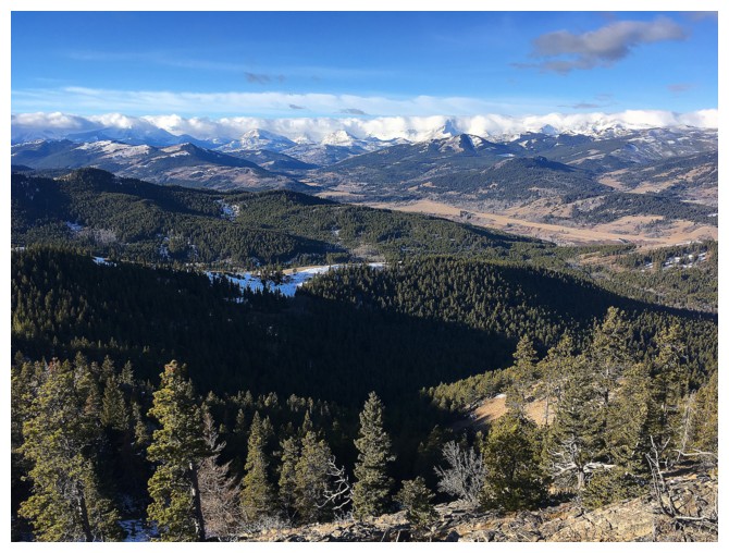
View to the west
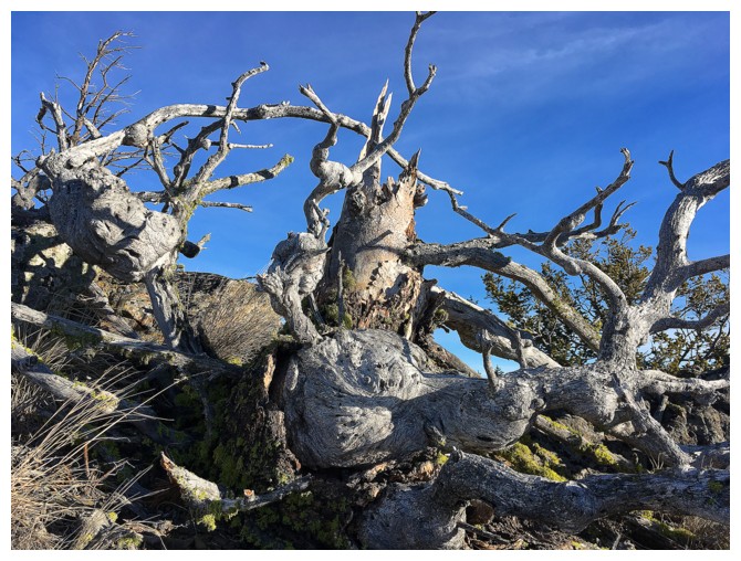
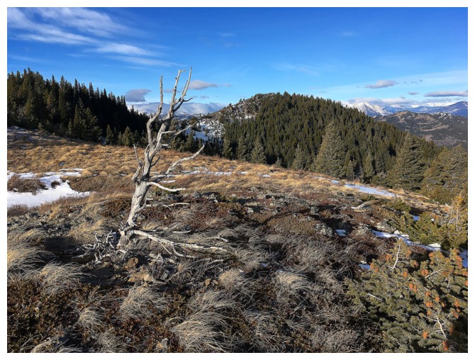
A beautiful mess of twisted branches
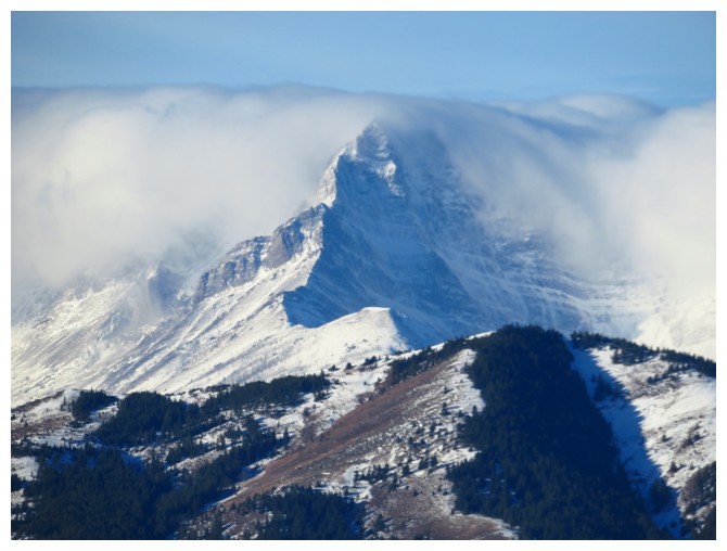
Clouds pour over Mount Darrah
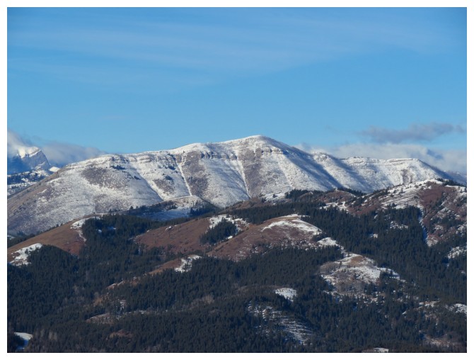
Hillcrest Mountain
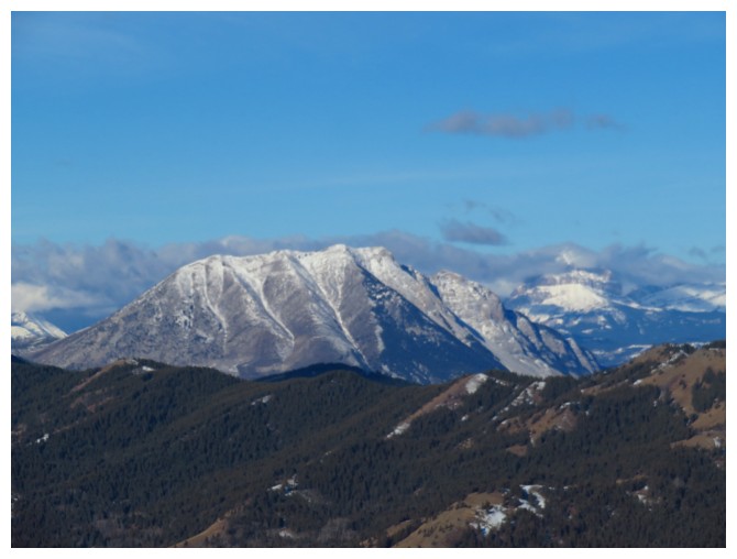
Turtle Mountain and Crowsnest Mountain in the clouds at the right
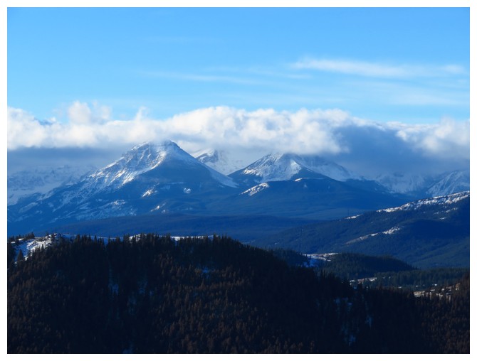
Syncline Mountain - definitely a mountain I'd like to ascend again
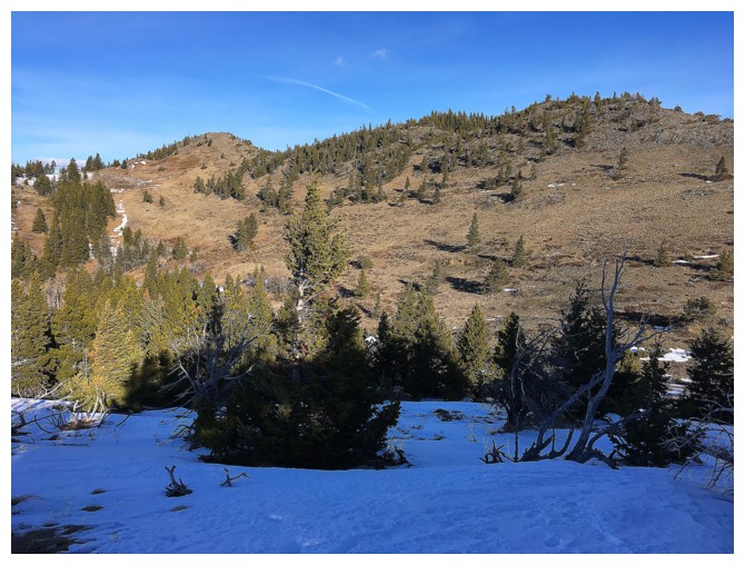
Looking back to the summit from the south ridge
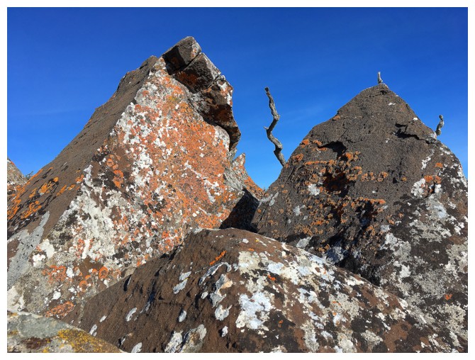
Some cool rock before reaching the REALLY cool rock!
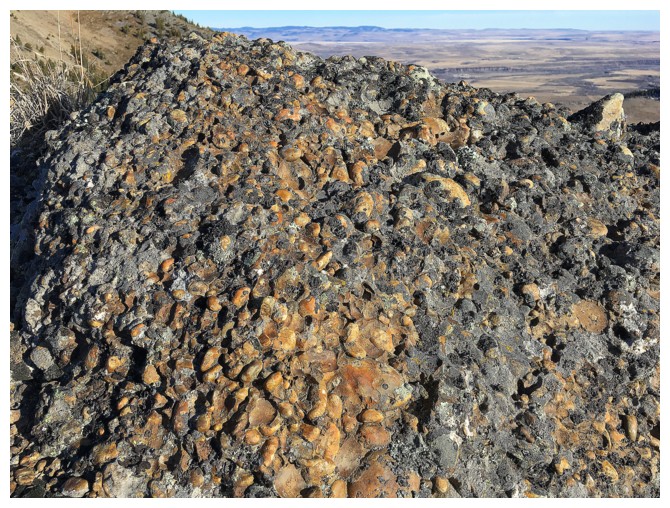
Here's the conglomerate
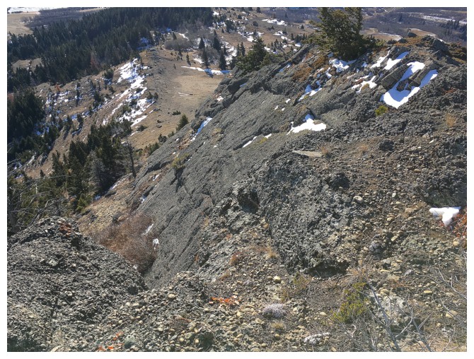
Looking down the east side of the south ridge, where the rock bands of conglomerate rise
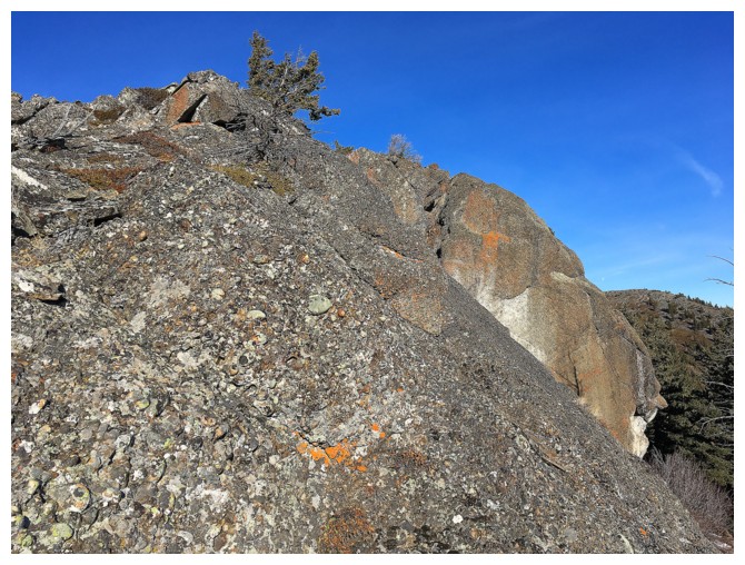
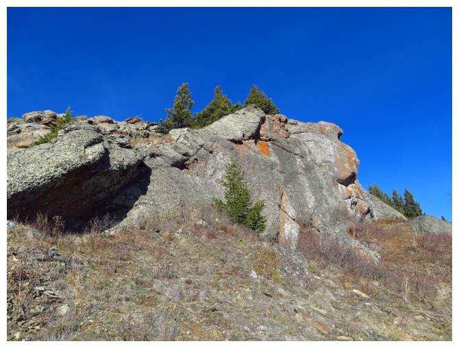
Below the ridge and heading back up, alongside the rock band
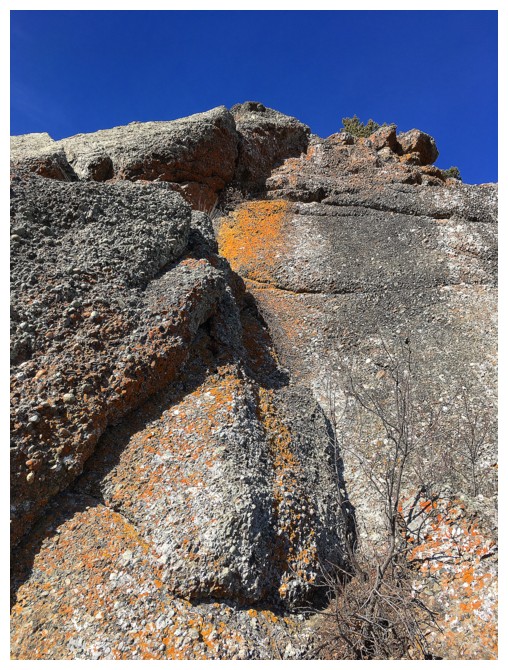
Lichen covered conglomerate - that's something you don't see everyday
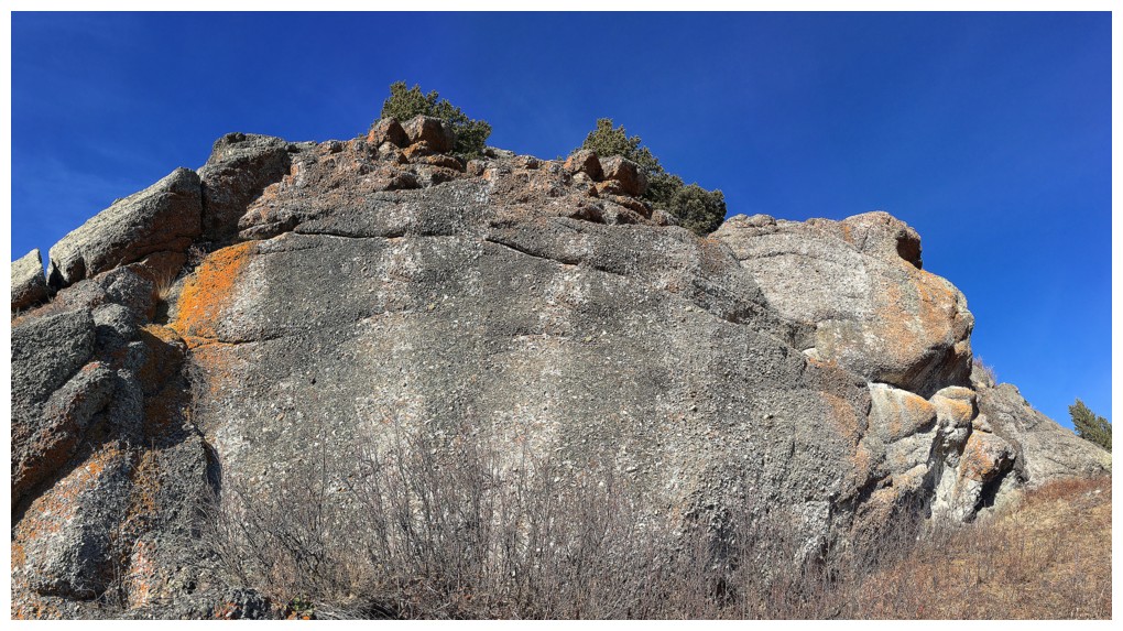
A look at the whole rock band
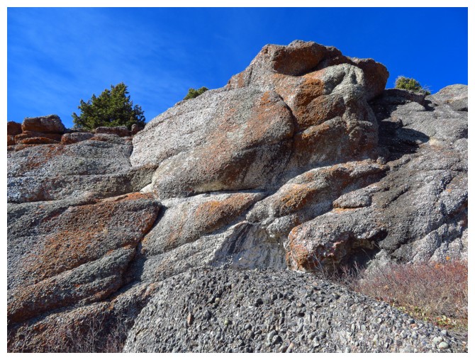
"The Ape"
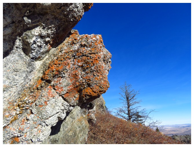
More traversing and more striking conglomerate
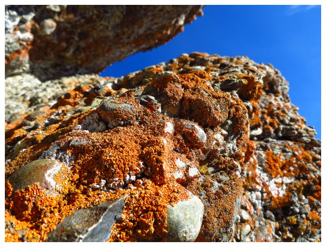
Close-up
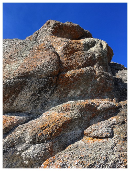
Baboon??
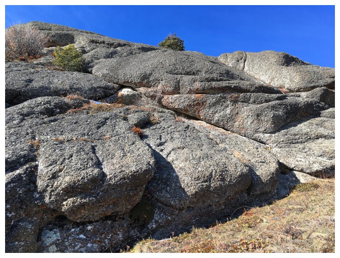
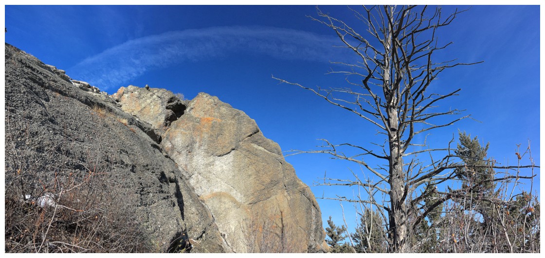
The next section of the rock wall featured more cool rock and a very distinctive tree
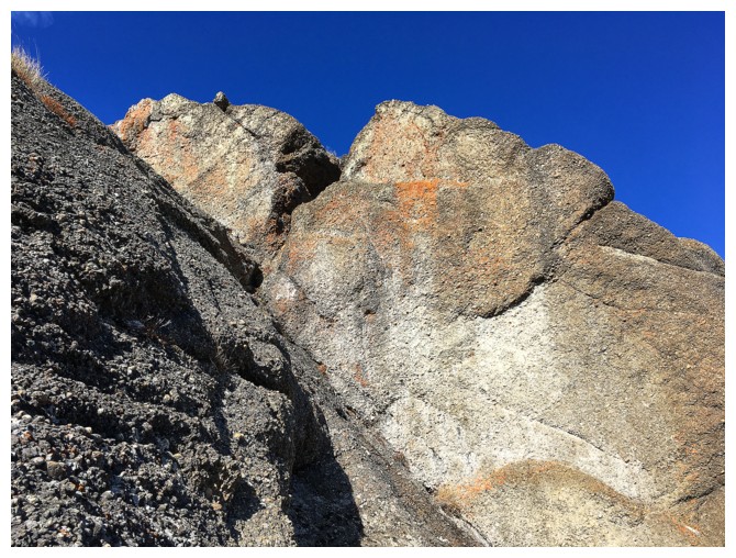
The rock
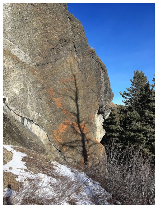
The shadow of the tree on the rock
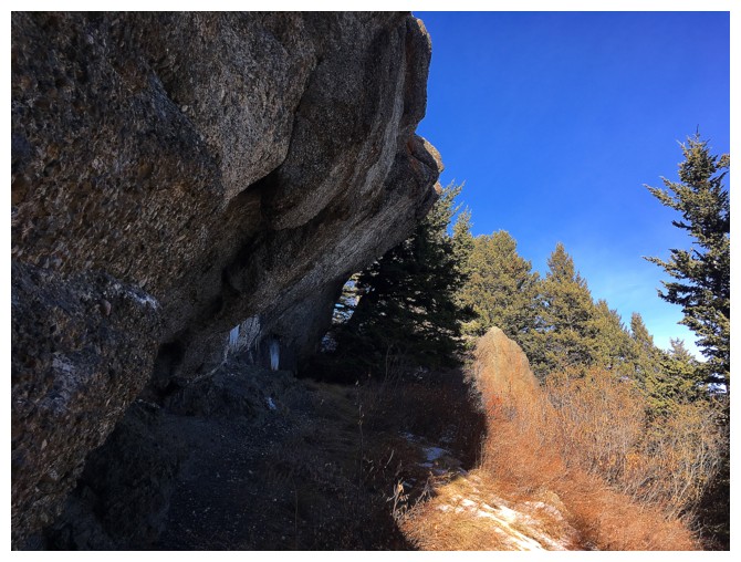
The overhanging section and the seepages
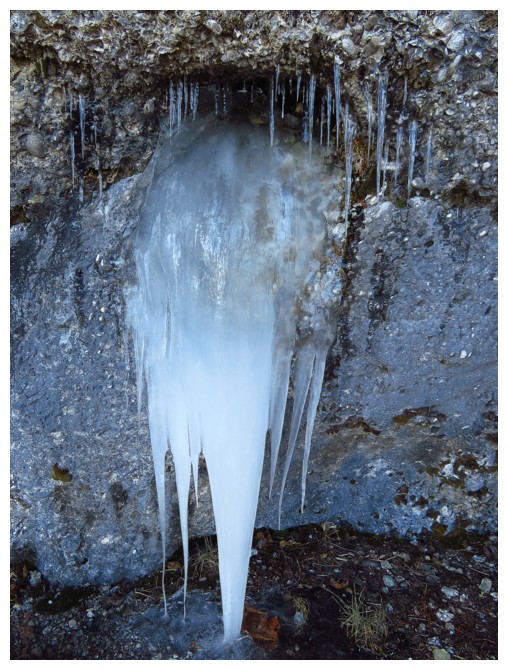
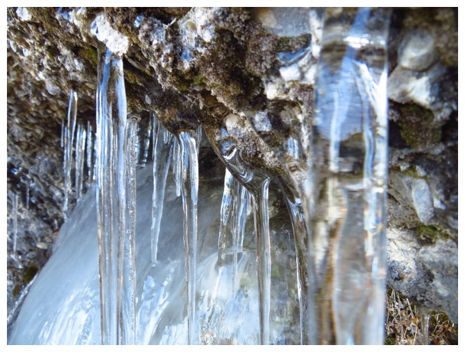
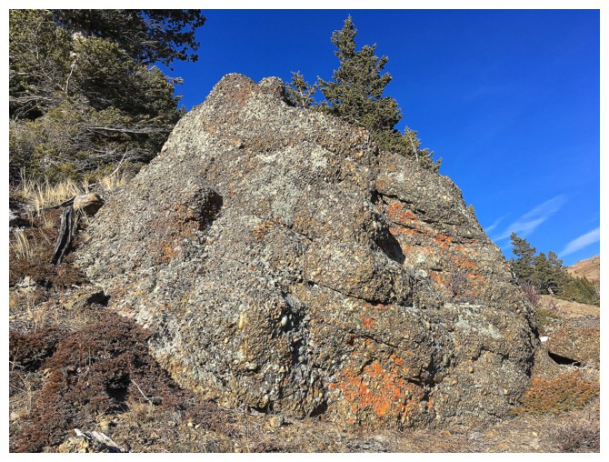
Huge conglomerate boulders littered the lower slopes
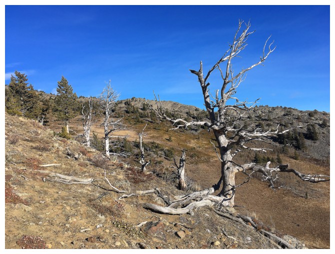
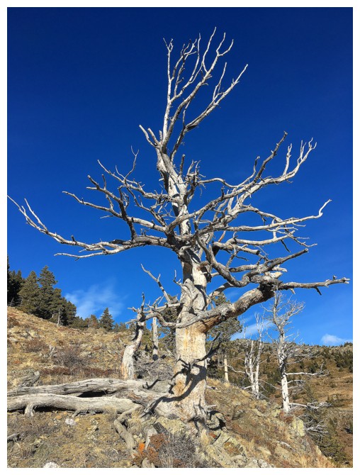
The obligatory dead tree photos
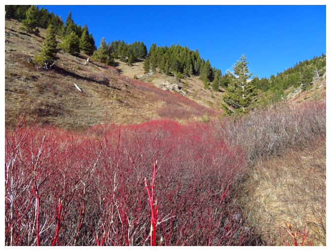
Down in the also colourful valley between the southeast and south ridges
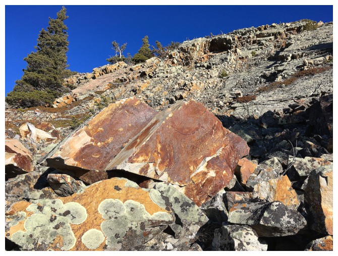
Here comes the REALLY, REALLY cool rock
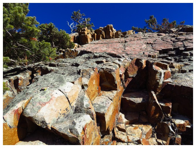
Some fusia and pink near the top?
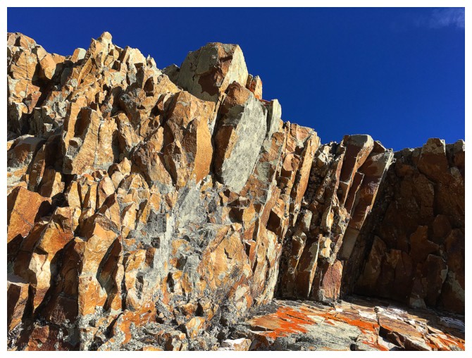
Umber and ochre?
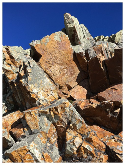
Hues of green and gray?
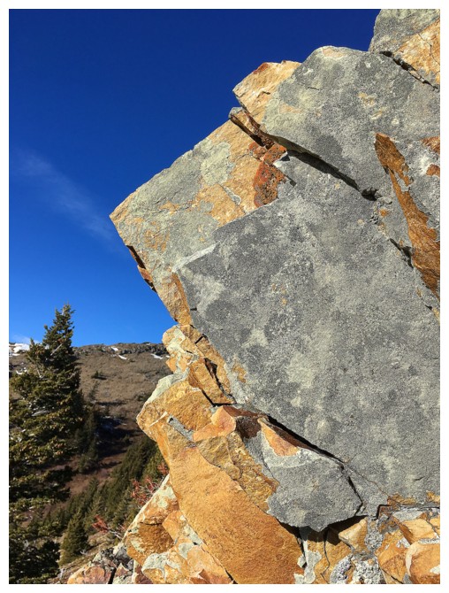
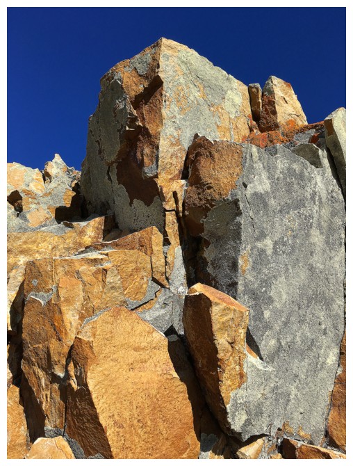
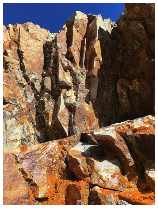
Rust and orange?
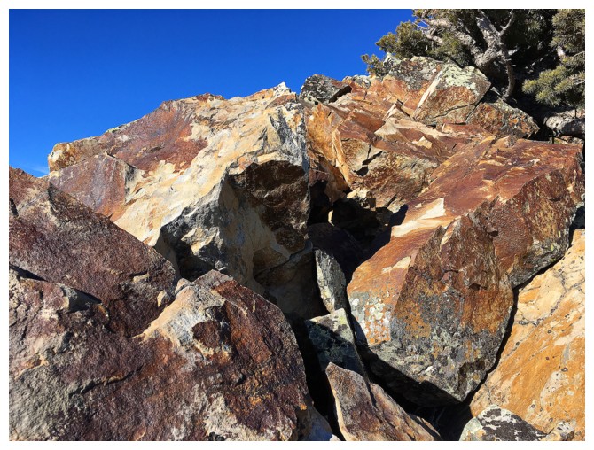
Back on the southeast ridge
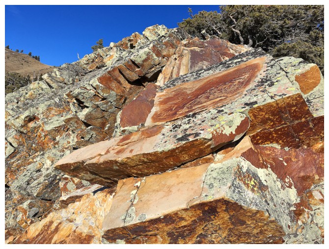
I know there is some Chartruse in there somewhere!
Almost back at the start of the southeast ridge. The colours never end on this peak.
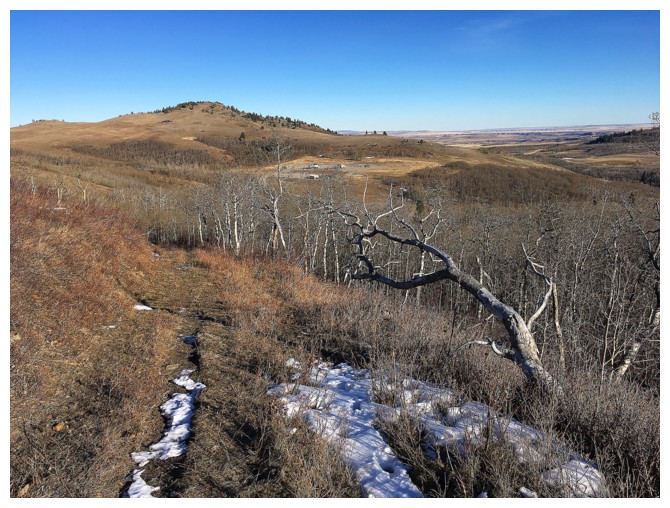
Took this obvious path back down to the road instead of the cutline
The End