Crystal Ridge IV
January 3, 2018
Mountain
height: 2810 m
Elevation gain: 1000 m
Roundtrip
time: 7 hours
Solo
snowshoe.
 Crystal
Ridge again? Weren’t three ascents enough (I, II, III)? Not by far! This is one
ridge I could explore again and again. It’s one of the best shorter trips in
the area.
Crystal
Ridge again? Weren’t three ascents enough (I, II, III)? Not by far! This is one
ridge I could explore again and again. It’s one of the best shorter trips in
the area.
The
initial plan of a short jaunt around Peyto Lake was scrapped when I arrive in
the Bow Lake area under completely clear skies. Something a little more
ambitious was definitely in order and Crystal Ridge seemed to be a very logical
choice – the trail up to the ridge was well broken and I was super keen and
motivated to explore the north ridge even farther than my ascent with Mark two
days earlier.
1.5 hours
of easy travel brought me to the ridge where I was pleasantly surprised to see
Marcus Baranow, whom Mark and I had met on our trip. Marcus and his team were
doing ski runs down the steep and exciting east side of Crystal. 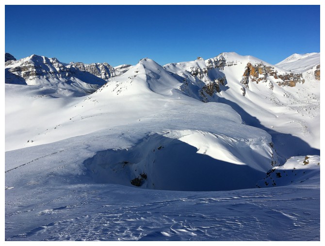 Before he
skillfully descended insanely steep terrain that made me cringe, Marcus
revealed that he and his partner had skied all the way to the highest point of
Crystal Ridge (sometimes called Cirque Forepeak); it was just a matter of following
his tracks to the summit. Great news!
Before he
skillfully descended insanely steep terrain that made me cringe, Marcus
revealed that he and his partner had skied all the way to the highest point of
Crystal Ridge (sometimes called Cirque Forepeak); it was just a matter of following
his tracks to the summit. Great news!
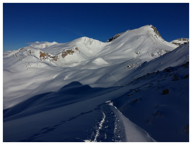
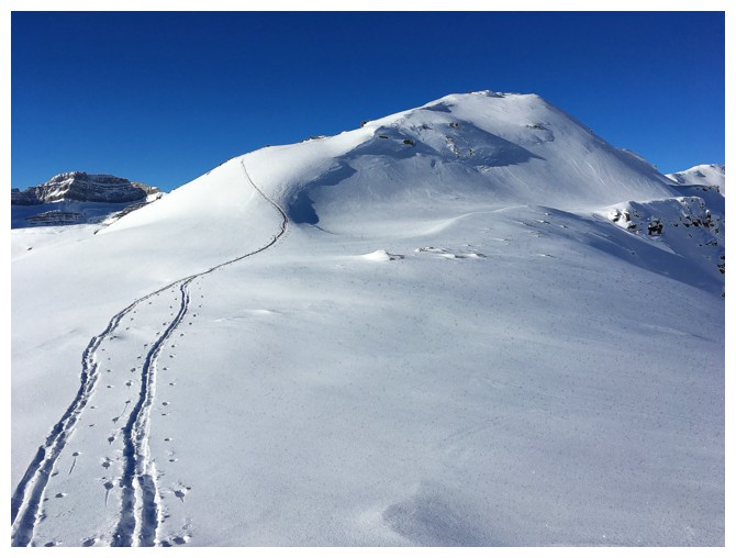
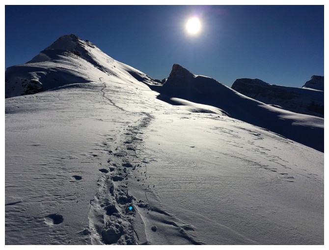
The
ridgewalk to Cirque Forepeak was magnificent: lots of ups and downs, wonderfully
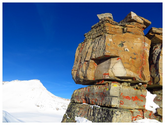
interesting terrain to negotiate, awesome outcrops of blocky quartzite, and of
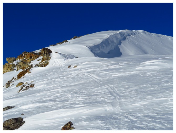
course amazing views throughout. Marcus’ tracks stopped just before the summit
and that was also as far as I was prepared to go. Although the apex was only
about 50 horizontal and a few vertical metres away, the traverse to get there
looked precarious at best. A huge cornice on the left and steep, avalanche-prone
slopes on the right were enough for me to err on the side of caution.
Although
briefly tempted to take a direct line down to the highway and then hike the
road back to my car, I couldn’t pass up the opportunity to see the amazing
ridge scenery again. The extra elevation gains were tiring but worth every
second of it and once again the plunge-stepping descent from the ridge to the
parking lot was wonderfully easy and fast.
Having
now reached all the highpoints on Crystal Ridge I can safely put any one of them
in list of favourite snowshoe trips in the Rockies.
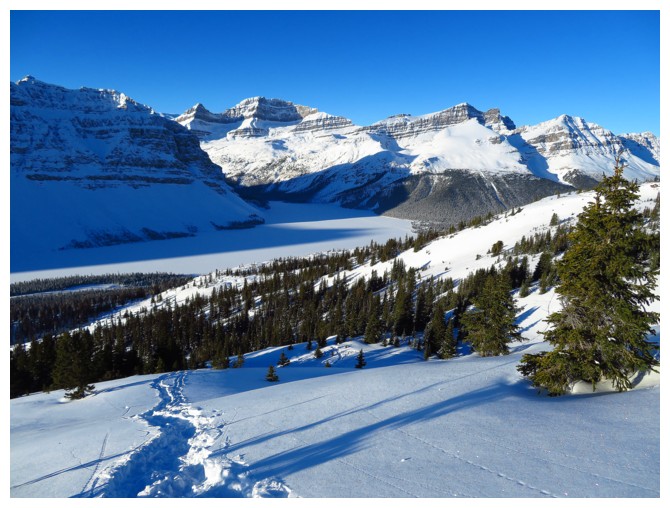
Any view towards Bow Lake is a perfect view
Mount Jimmy Simpson and Jimmy Junior (I, II)
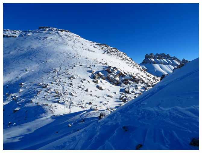
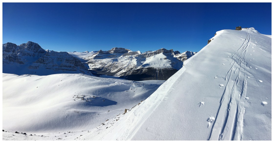
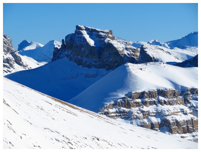
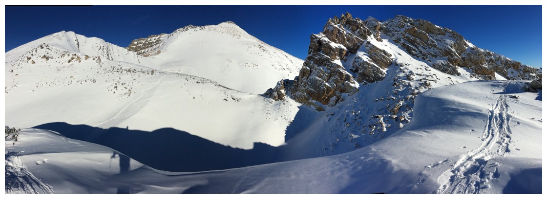
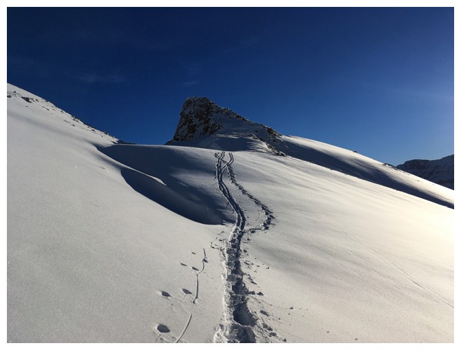
Approaching the ridge
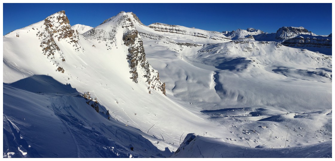
Mount Rhondda (right) and Mount Collie (distant left)
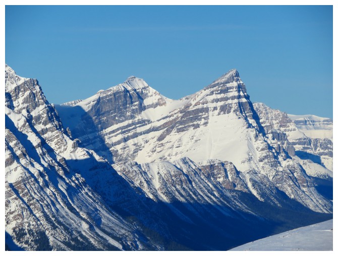
White Pyramid (left) and Mount Chephren (right)
Marcus descends the east side of Crystal Ridge
Follow the tracks to faintly see his two team members far down below
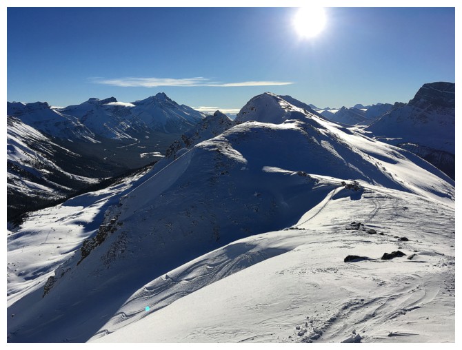
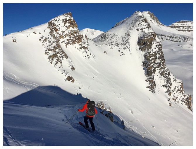
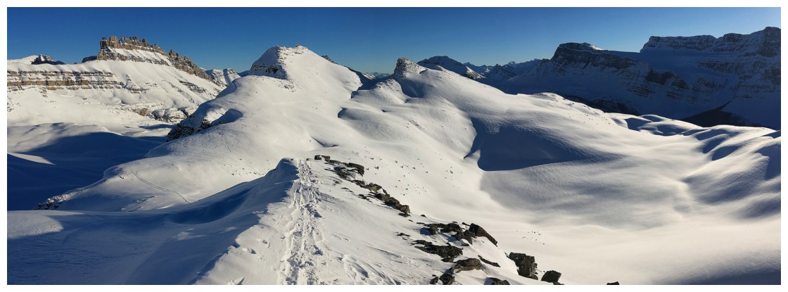
Looking south along the ridge
A nostalgic look at our tracks up the second summit from two whole days ago!
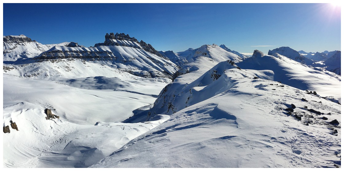
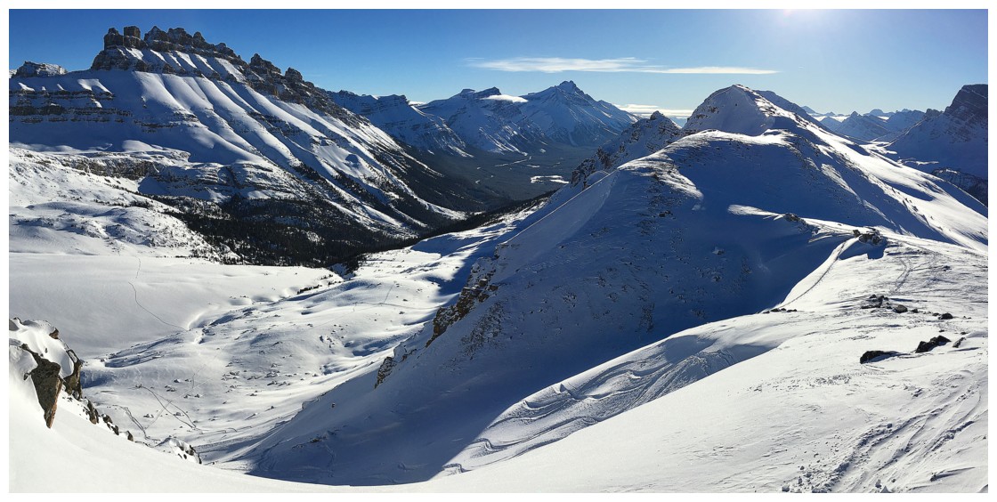
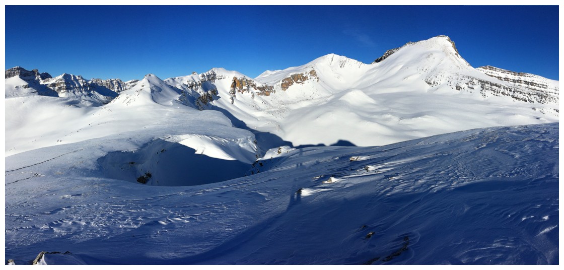
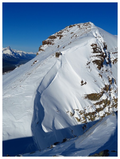
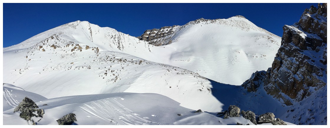
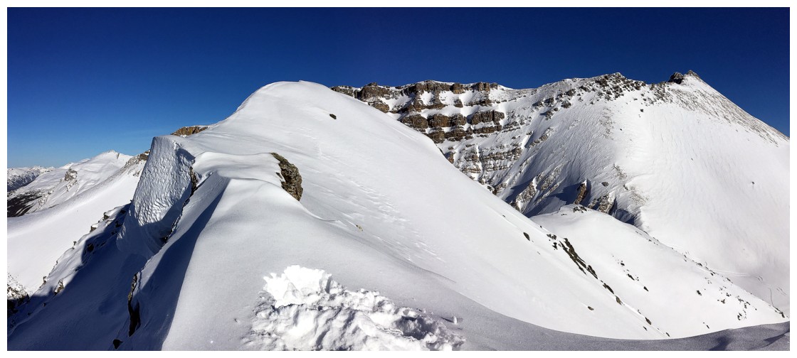
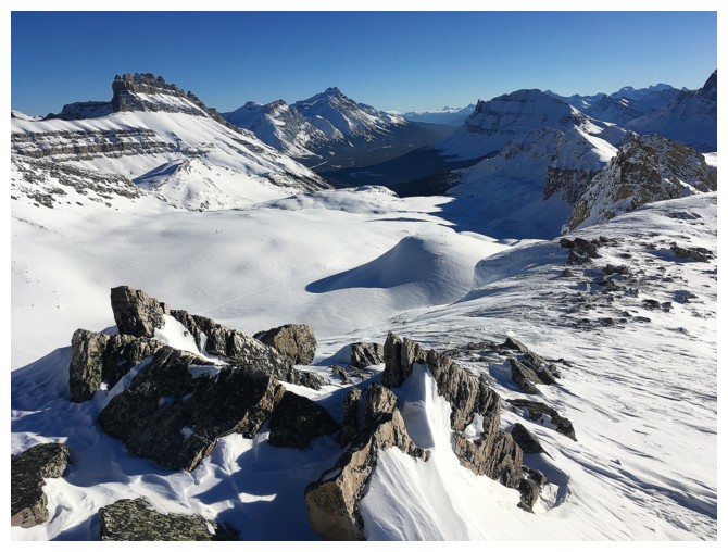
The route ahead. The objective is Cirque Forepeak in the centre. Cirque Peak lies to the right.
Looking back at the first summit from two whole days ago
At the first highpoint of the day looking towards the second
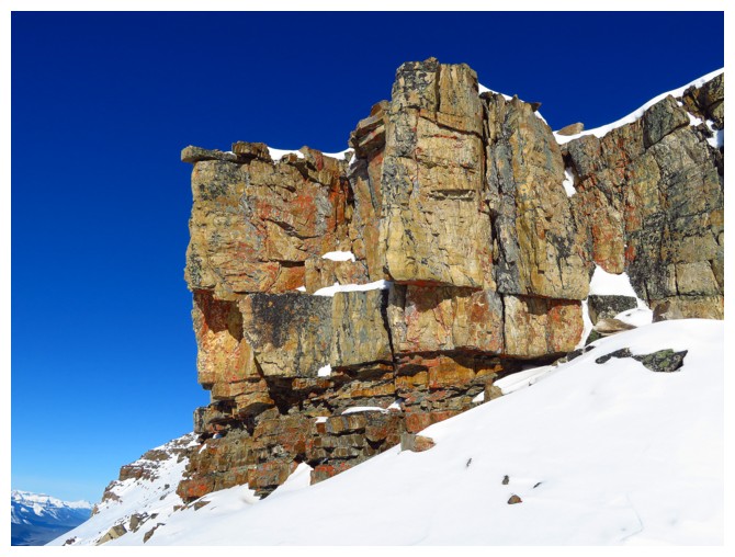
Sweet blocks of quartzite!
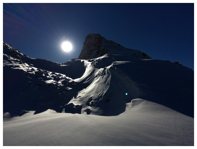
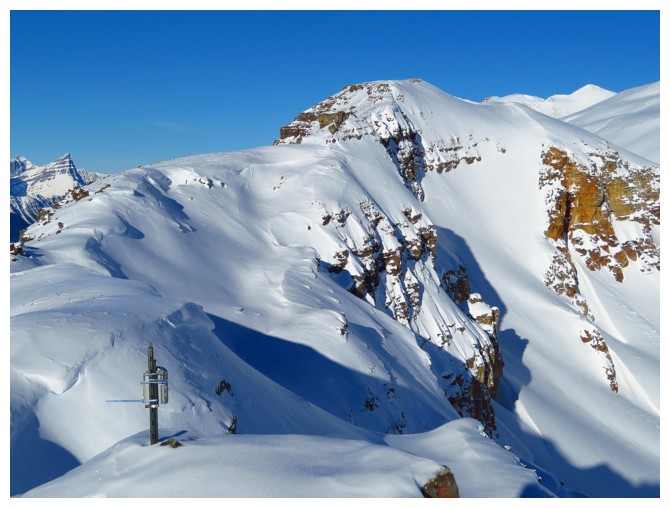
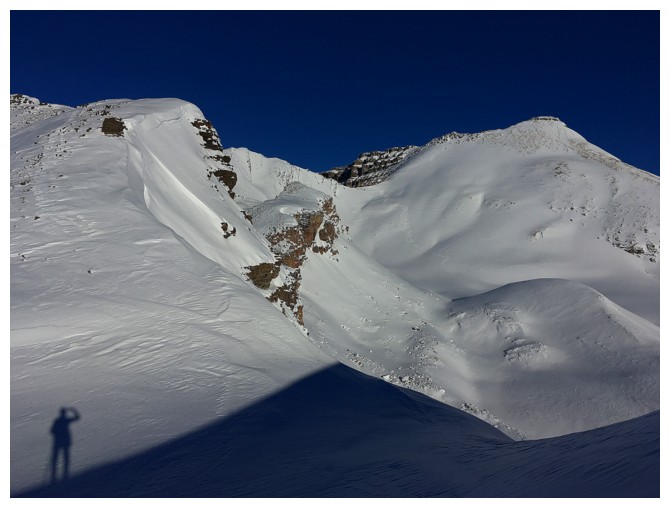
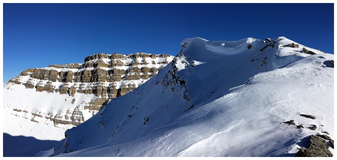
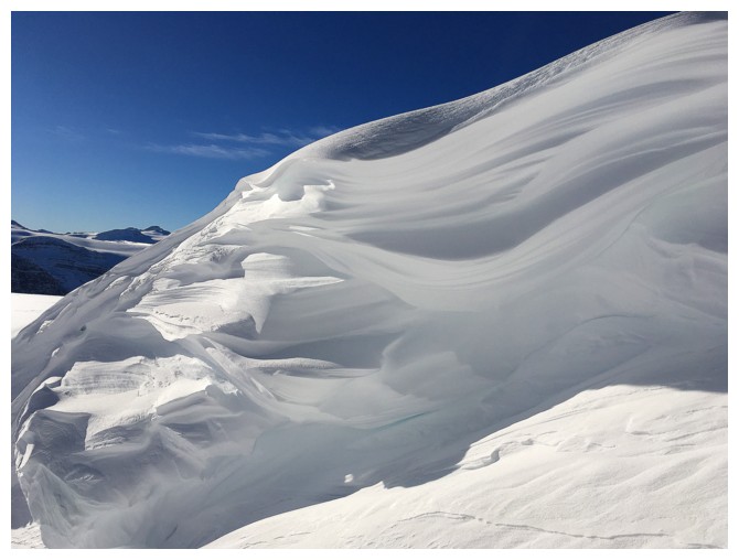
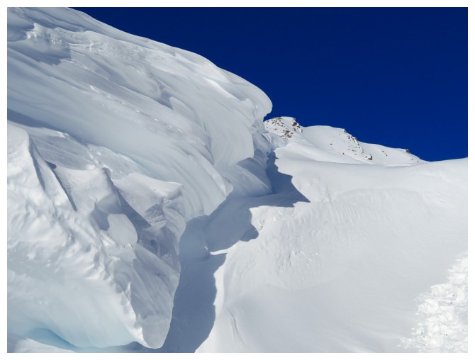
The cornices are already fairly big for this time of the year. They will HUGE by March, April!
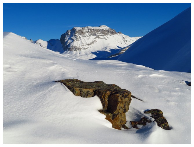
Time permitting I would have ascended the lump of rock in front; instead I skirted it on the left side
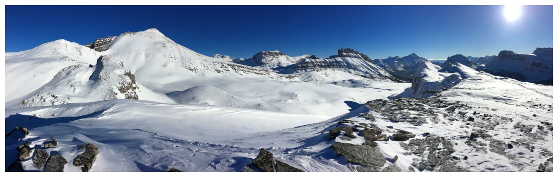
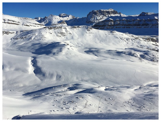
An overview of the area to the north, east, and south
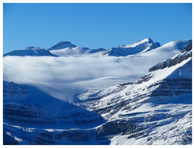
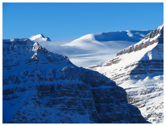
A bank of clouds on the Wapta. Mont des Poilus to the left
Some old memories: Mount Gordon (left) and Mount St. Nicholas (right)
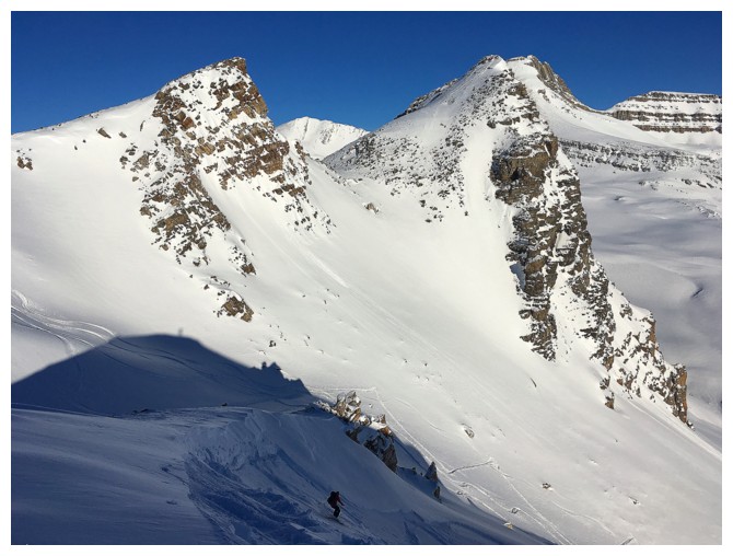
Approaching the next highpoint
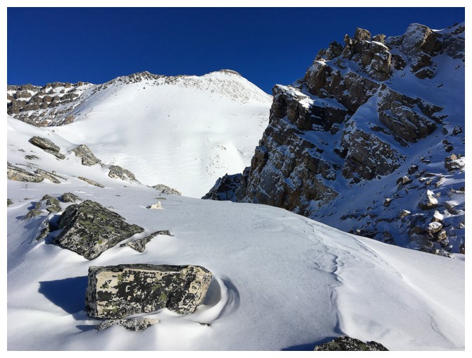
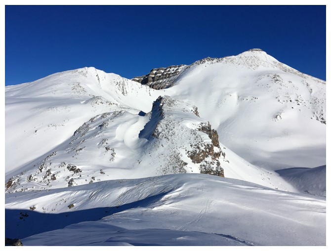
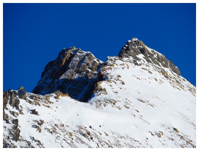
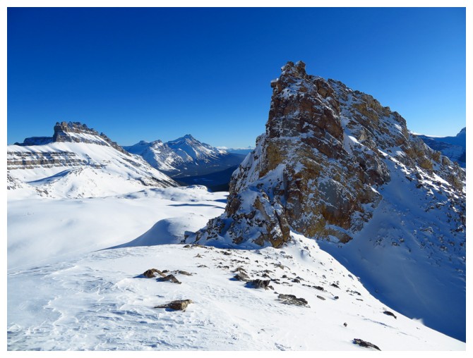
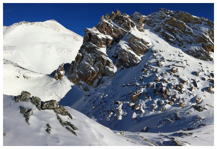
Cirque Peak and the aforementioned "lump of rock"
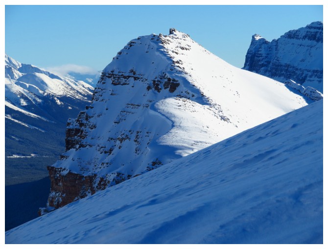
With Cirque Forepeak
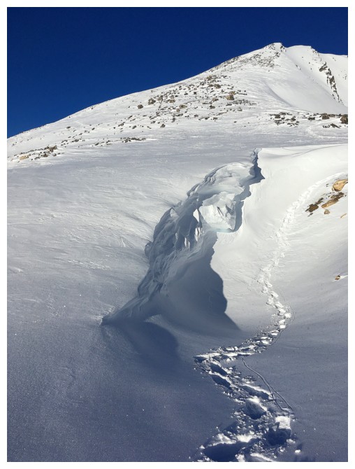
Final steps to Cirque Forepeak
End of the line. The slopes to the right are quite steep are deserve respect!
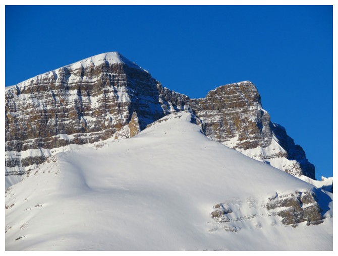
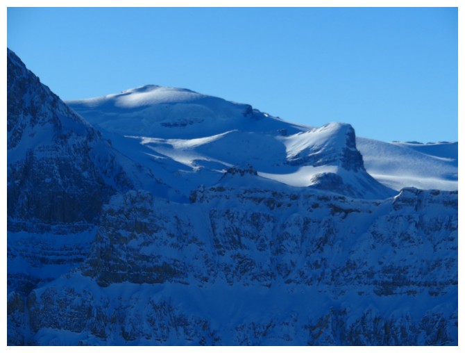
A close-up of the summit of Cirque Peak (left)
Observation Subpeak and Observation Peak (distant centre)
Going a little farther north to check out the cornice below the summit
The northeastern outlier of Dolomite Peak
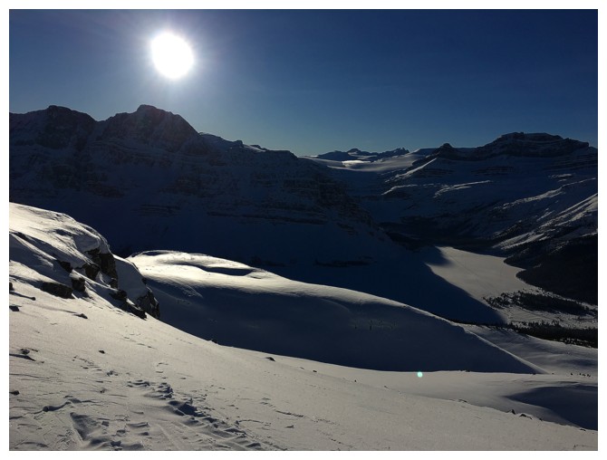
Can't get enough of this view down the valley
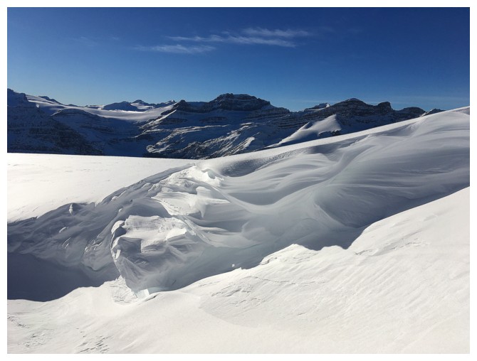
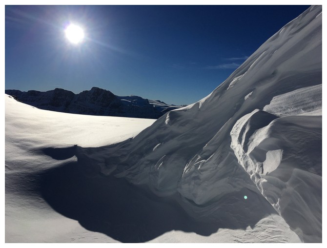
This small area of wind-sculpted snow was one of the highlights of the descent
Back at the "lump of rock"
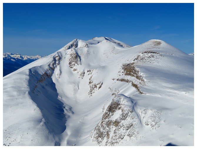
The summit we reached two whole days ago looks quite impressive from this angle
Mount Hector looks impressive from any angle
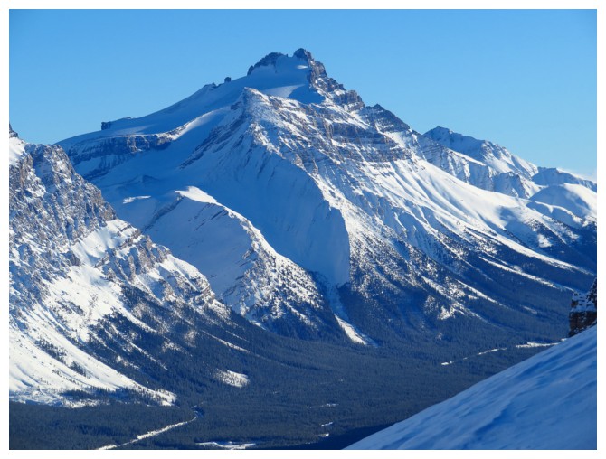
The incredibly scenic, very exhilarating, but extremely dangerous OXO Peak (also see Vern's report)
Last look at the beautiful rock
The Sun is low, it's time to go!
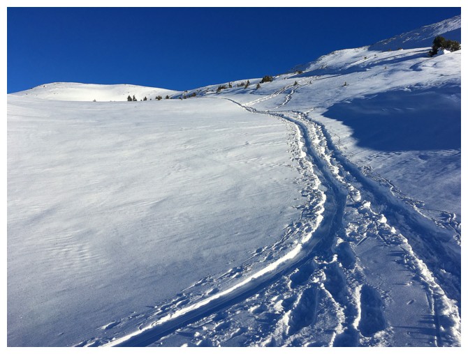
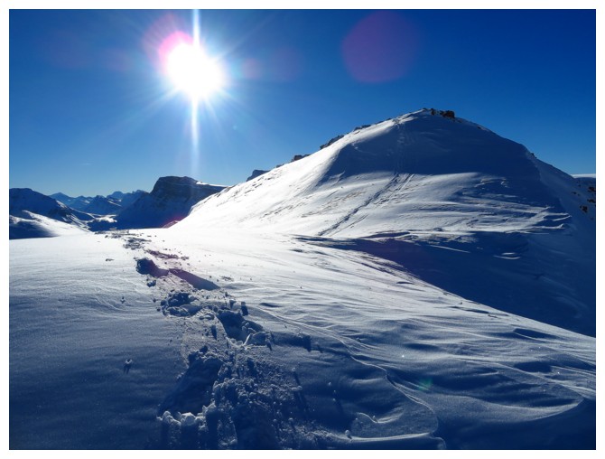
One more uphill battle to the first summit of "two whole days ago" and then it's a sweet ride down
(as sweet as snowshoeing down perfectly skiable slopes can get, that is!)
The End