Darrah S2 attempt
September 15, 2019
Roundtrip time: approximately 6 hours
Scrambling with Dave.
There are failures that feel like failures and then there are failures
that feel anything but – this trip certainly fits in the latter category,
joining Crypt, Logan, Smutwood, and Loomis as one of my favourite “failures” to date.
 Darrah S2 is a southern outlier of Mount Darrah and reaches an
impressive height for mountains in the general area. Dave had scoped out a
potential route up the peak and we were both super excited to give it a go.
Besides some challenges later on in the day (more details to come), the
crux could have been the drive to the start. The Forestry Trunk Road from the
Corbin mine is far the smooth and highway wide. Heavily rutted, pot-holed,
rocky, and quite narrow in places, with a big drop on the west side, this was a
job for Dave’s burly Toyota 4-Runner and the requisite driving skills. I had
once tried to drive the road in my Honda CR-V but turned around (with a sketchy
84-point turn!) when the road (or lack of it) pushed me beyond my driving comfort
level.
 Dave skillfully got us to our starting point and away we went. The plan
was to gain the ridge of S2 as soon as possible and then follow it to the
summit. This entailed a bit of a bushwhack, but it was a surprisingly pleasant one
and not half as bad as it looked from the parking area. Only the drenched
condition of the bush put a bit of a damper on things. We both emerged from the
treeline soaked from mid-thigh down.
Already enjoying great views of Limestone Ridge, Mount Corrigan, Centre Mountain and
numerous unnamed outliers in the immediate area, we ascended the wide ridge to
a minor highpoint, where much of the route towards Darrah S2 became visible. It
looked interesting to say the least: much narrower and steeper than we thought
it would be, with many unseen drop-offs.
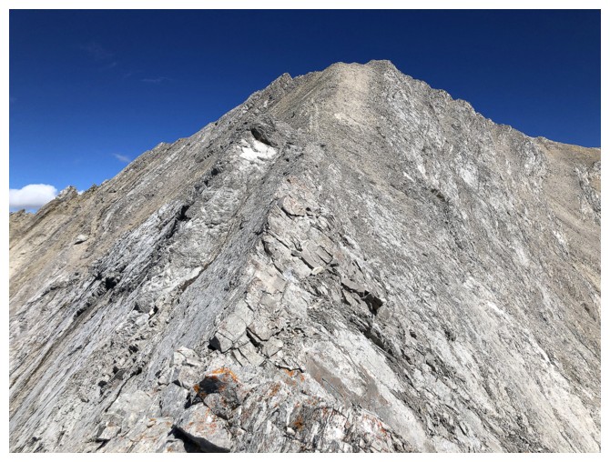
Continuing, almost immediately the ridge narrowed to a point where solid
concentration was paramount. The first drop-off we reached was not
downclimbable, requiring a good elevation loss and some tricky maneuvering to
bypass. Back on the now even narrower ridge Dave led the way up a steep section
of thankfully solid rock. I took the lead for the next section and it was a
doosy!
At this point the ridge was very narrow with significant exposure on
both sides, it’s saving grace the solid grippy rock underfoot. Dave waited
while I ascended the ridge to see if it would go. To my delight it did –
almost! Only two steps from safer terrain, but still on the extremely exposed ridge,
I reached to grab a handhold when it and a huge chunk of rock below simply
crumbled and went crashing down the side of the ridge. Bummer! What happened to
the solid rock?? I told Dave not to follow me and then proceeded to clear as
much of the loose rock off the ridge as possible. It was insane! Massive chunks
of flaky rock just peeled away from the mountain, requiring very little effort
on my part. I was then able to step onto rock that I hoped was solid enough to
hold my weight and make it to safety. Even so, both were two of the scariest
steps I’ve taken in my mountain trips. I’ll take the “Triple Divide Ledge of Insanity” over those two steps any day!
Dave,
thankfully, was able to circumvent the difficulties on the ridge
and eventually rejoin me. However, his route was far from trivial,
again testing
his scrambling skills on loose and exposed terrain. We continued up the
ridge,
where all the difficulties seemed to be behind us. We had pretty much
written off S2 by now, but the outlier just southwest of S2 looked to
be within reach and
was a significant and impressive highpoint in itself.
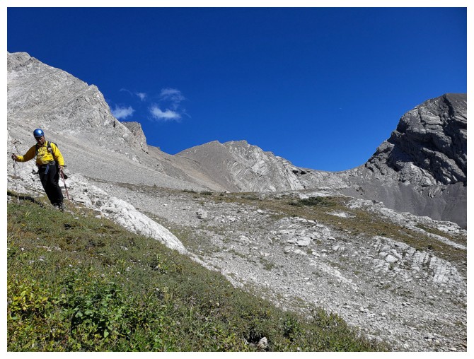 Our excitement at reaching the top of the outlier was short-lived. This
mountain had already provided a slew of daunting challenges and it had no intention
of letting up. The ridge ahead looked even narrower and more exposed than what
we had just come up. I immediately thought of the classic line in the movie “Vertical
Limit”, when, in reference to climbing K2, Elliot Vaughn says to Tom McLaren, “Come on, what did you
think? She'd just lift up her skirt and pull her panties down for us?” (please
forgive the suggestive and perhaps inappropriate reference).
Dave
was done and suggested we turn around. I was of the same frame of mind but had
to check it out just in case. The ridge started well but quickly became knife-edged
– very literally! The only way to continue would be to hang off one side of the
ridge with your hands on top of the ridge and shimmy your way across. The
exposure on both sides was unforgiving and given my earlier experience on “Apple
Crumble Ridge”, this was a no-brainer. I turned around immediately and slowly made
my way to safer terrain.
We
were a little disappointed, however the scenery up to that point had been fantastic
and we were both still alive – yeah for us!
For
descent, we decided to make our way down to the valley below and then follow it
out, hoping at some point to intersect a trail marked on the map. Great
decision! With perfect weather conditions and wickedly blue skies this surprisingly
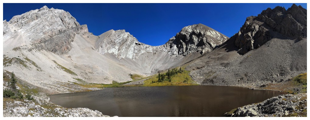
turned into my favourite part of the day. Normally I wouldn’t find much interest
in a small, murky brown, muddy tarn, but even it looked great amid the striking
rock and patches of green.
The
hike out was likewise superb – easy travel through sublime surroundings.
Snippets of trail eventually led to a primitive campsite and then an excellent
ATV trail. Before we knew it we were back at the start, both in excellent spirits,
considering we had failed to reach either summit.
An absolutely
fantastic failure, although I may refrain from eating apple crumble for the next
year or so!
Click here to see Dave's account of our fantastic (harrowing) day!
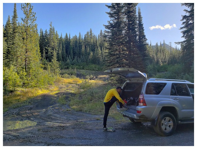
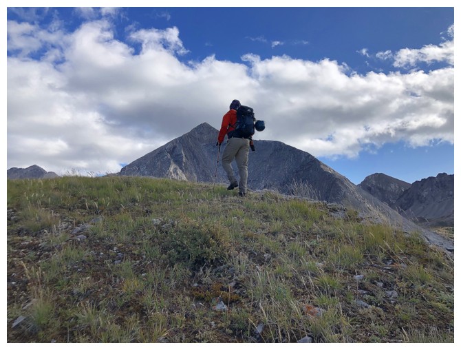
Gearing up at the start. Someone has excessively long legs! (photo by Dave)
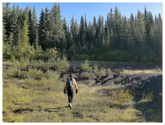
Heading for the bush. Thankfully it was not half as bad as the photo depicts (photo by Dave).
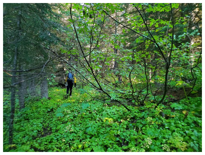
Typical and very pleasant terrain early on (photo by Dave)
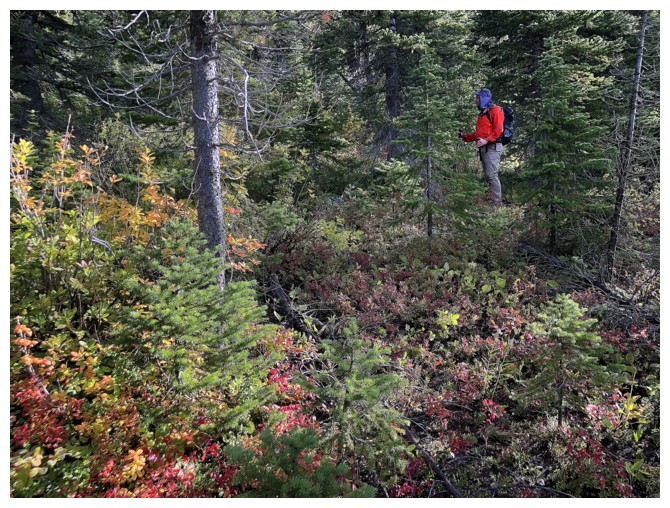
Fall is just around the corner
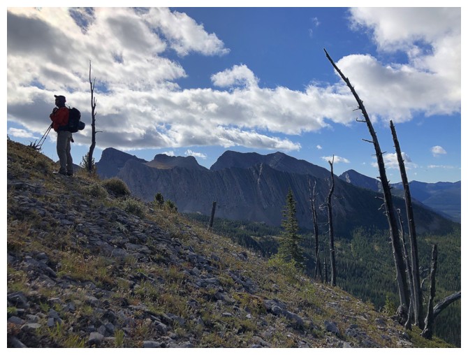
Dave and pleasing form of Centre Mountain

Dave approaches the first highpoint, where much of the route comes into view

There is it. S2 is just visible behind it's outlier at the left
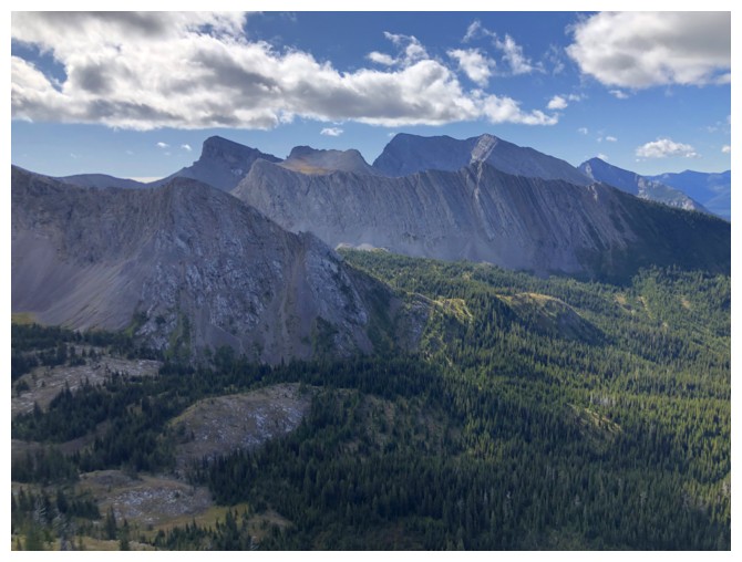
Better view of Centre Mountain
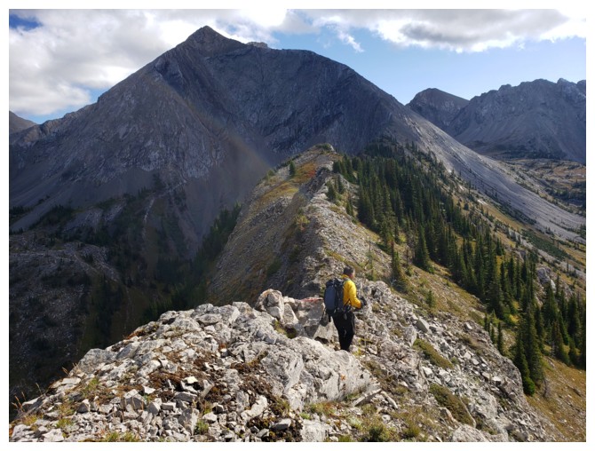
Looked easy from here but we quickly arrives at an impasse (photo by Dave)
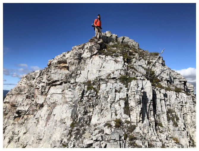
King of the Hill
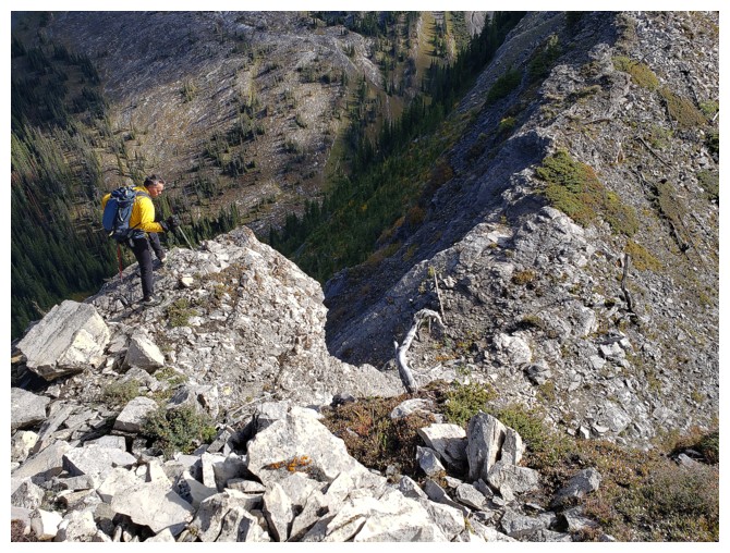
Looking down a section we didn't want to risk downclimbing (photo by Dave)
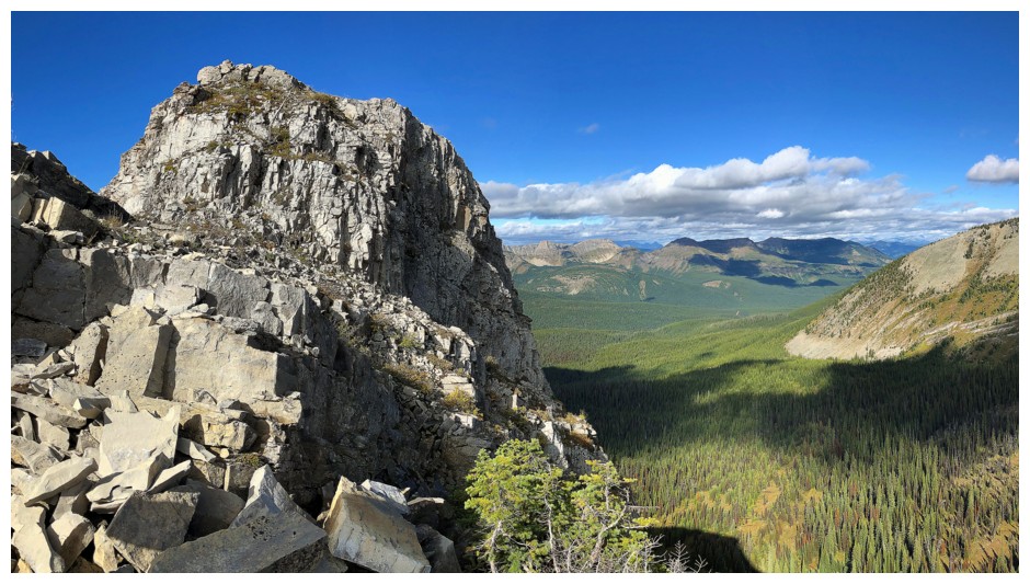
The scenery all around is beautiful, though
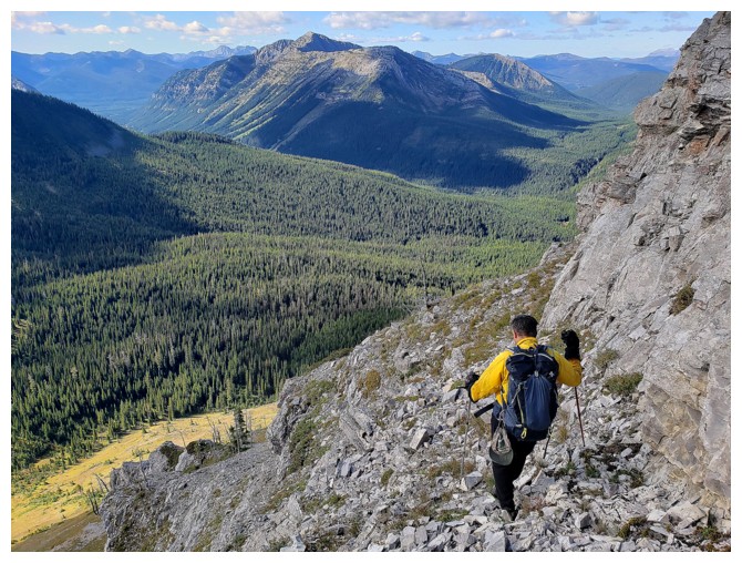
Losing elevation to circumvent the difficulties. Mount Corrigan in the background (photo by Dave).
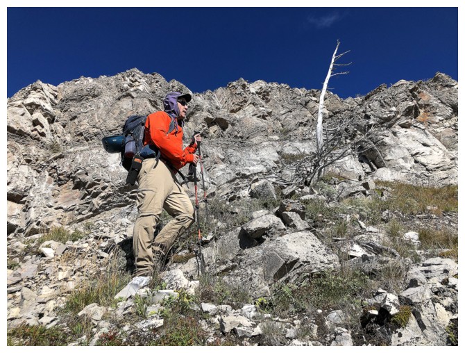
A stunning blue sky
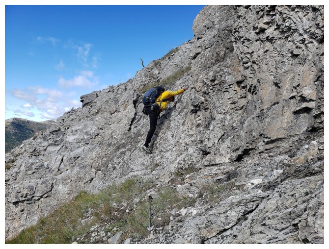
The long legs come in handy here (or should that be "come in footy"?) (photo by Dave)
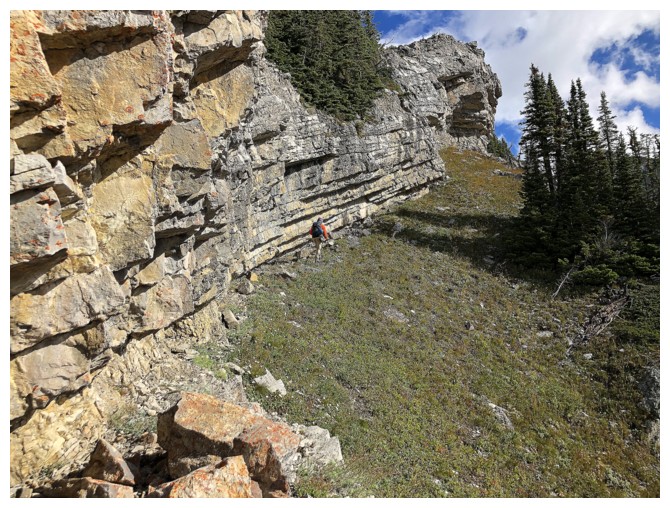
Dave leads a sweet and scenic traverse to regain the ridge
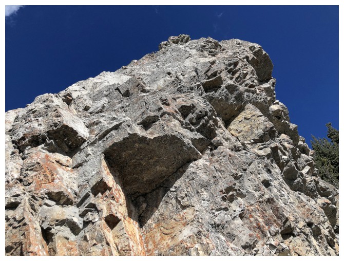
My obligatory shot of beautiful Rockies rock
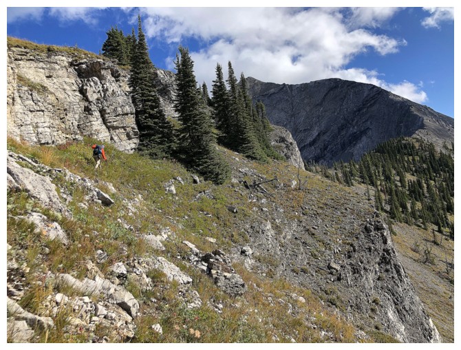
More traversing
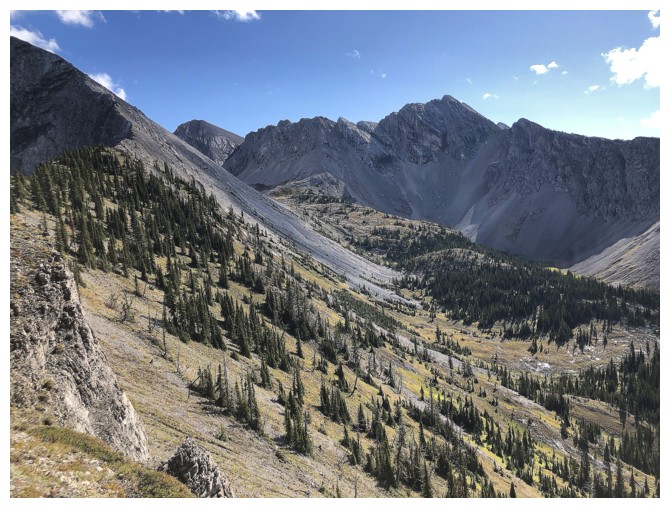
Didn't know it at the time but this gorgeous valley would eventually become our descent route
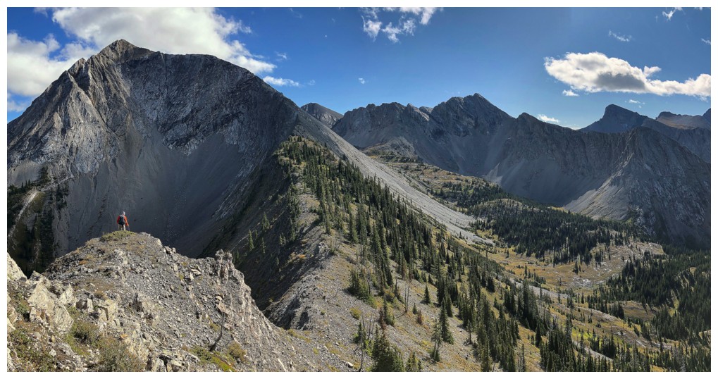
Better view of the whole area. The S2 outlier we were aiming for is above Dave.
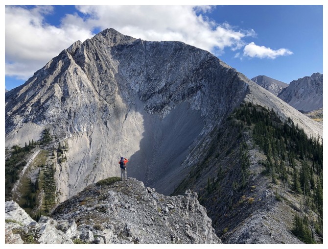
Once again, the route looked straightforward at this point, provided we could get down to the col
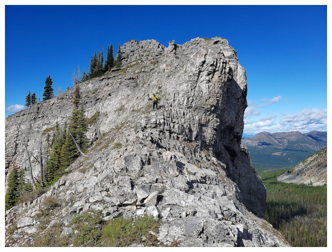
Descending to the col was easy (photo by Dave)
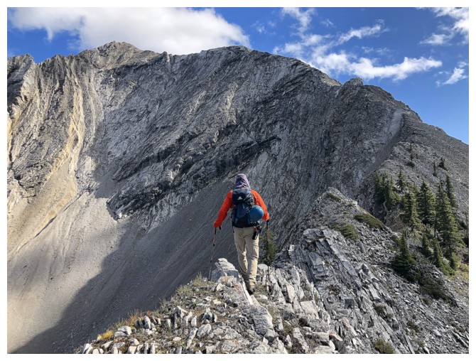
Dave tightrope walks the narrow ridge
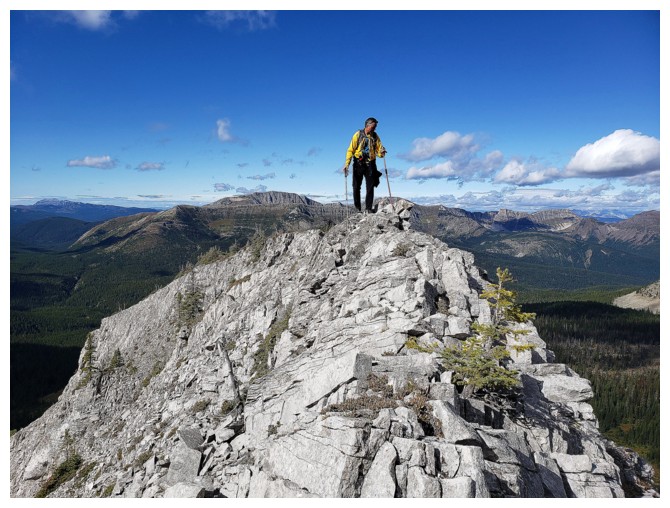
Looking down the deadly drop on the north side of the ridge (photo by Dave)
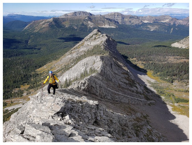
Looking back down the ridge (photo by Dave)
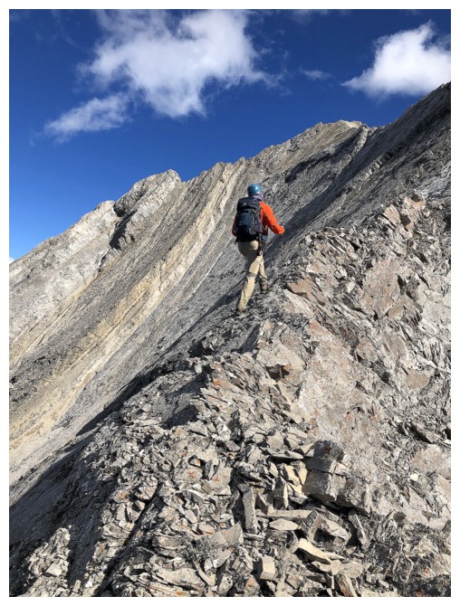
Dave gingerly walks up the increasingly steep and exposed ridge
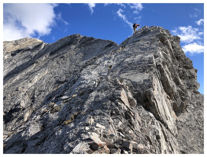
Almost there
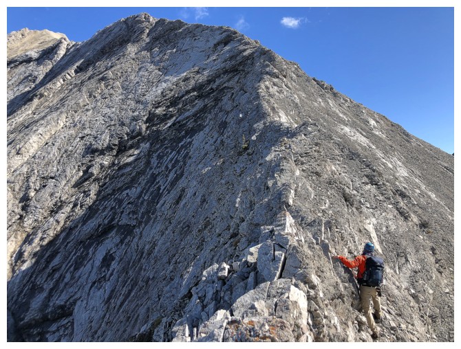
The next section required some traversing below the ridge
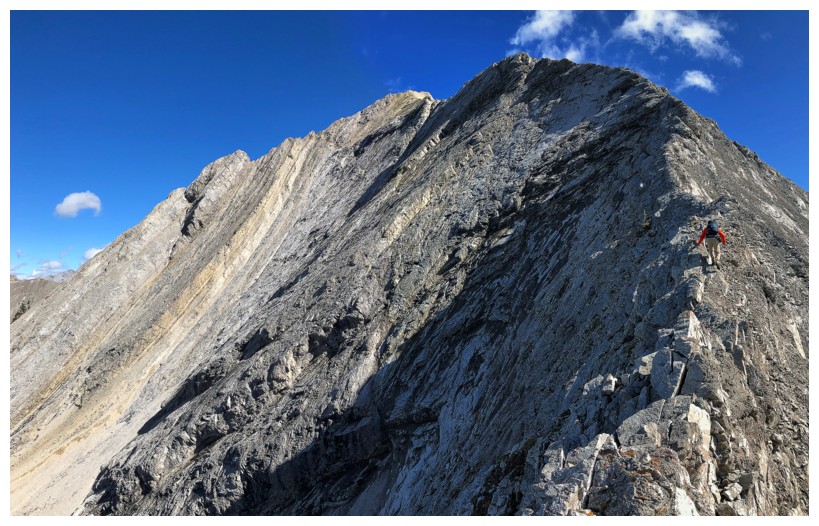
And then Dave is back on the ridge
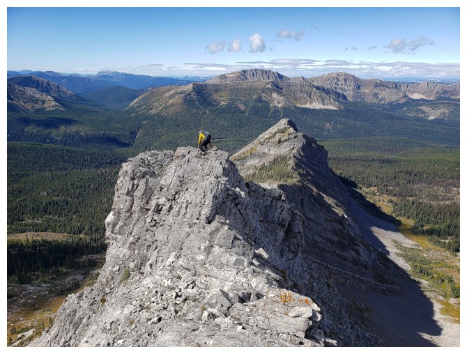
I carefully follow (photo by Dave)
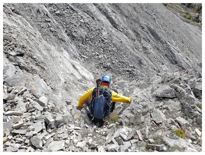
Leaving the ridge again when another impasse was reached (photo by Dave)
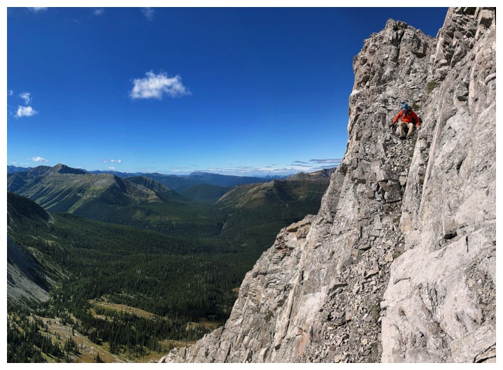
Dave downclimbs the same section
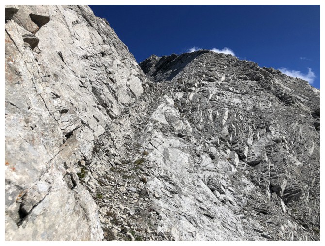
Then a terrific ledge leads back to the ridge (no “Triple
Divide Ledge of Insanity” here!)
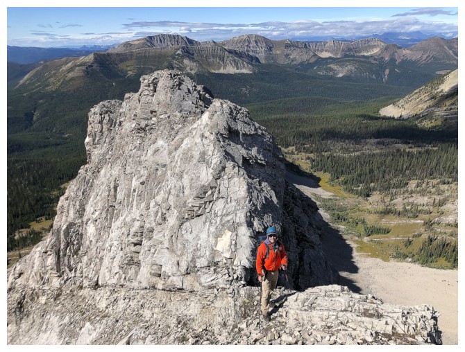
Dave is back on the ridge
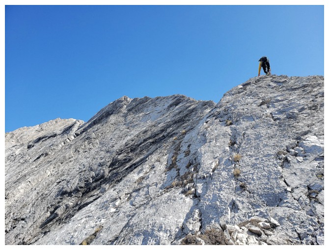
My turn to lead (photo by Dave)
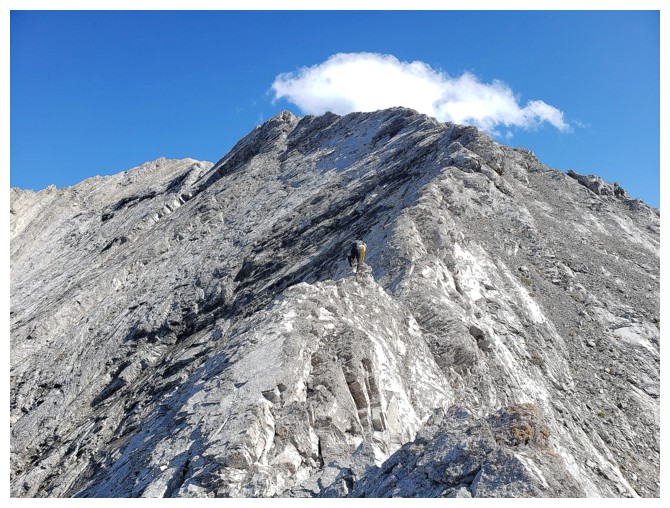
Hard
to see, but here is where the mountain started crumbling in front of
me. The exposure on both sides is intense (photo by Dave).
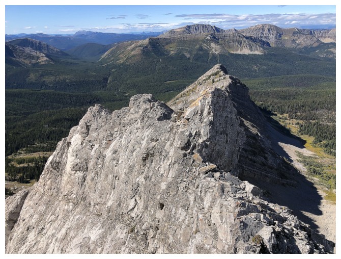
Looking back "Apple Crumble Ridge"
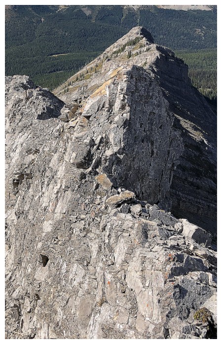
Closer look at the Crumble. The light brown rock is where the huge chunks of rock were just peeling away from the mountain.
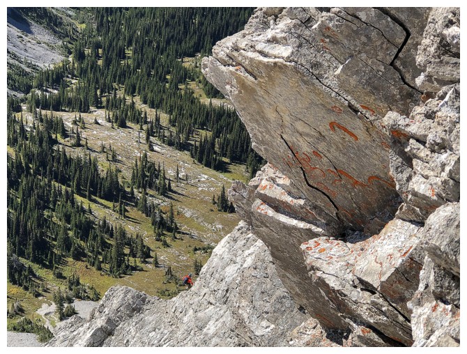
Spot Dave down below, negotiating some tricky terrain of his own
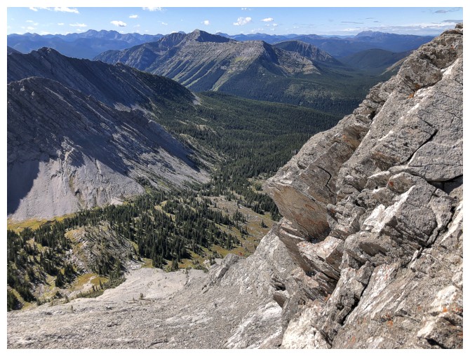
He's barely visible here, but now has a steep slog back up to the ridge
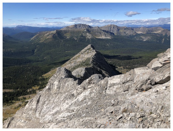
Another view back down the ridge. The mountain in the background is
Limestone Ridge, with Barnes Peak being it's unofficial highpoint.
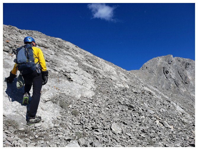
Easier terrain to regain the ridge again and that amazing blue sky (photo by Dave)
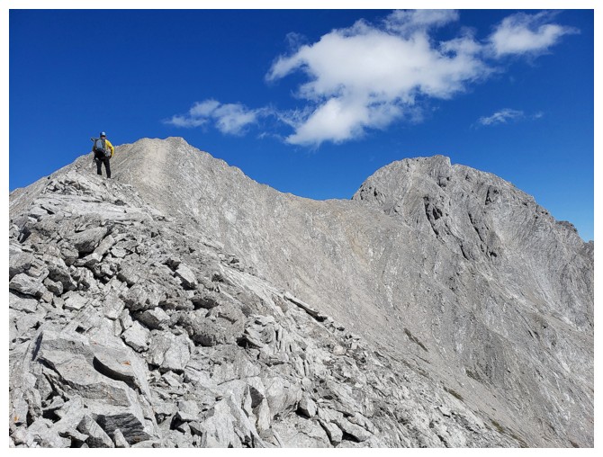
Assessing the unexpected challenges ahead. The outlier is just above me and S2 sits to the right (photo by Dave)
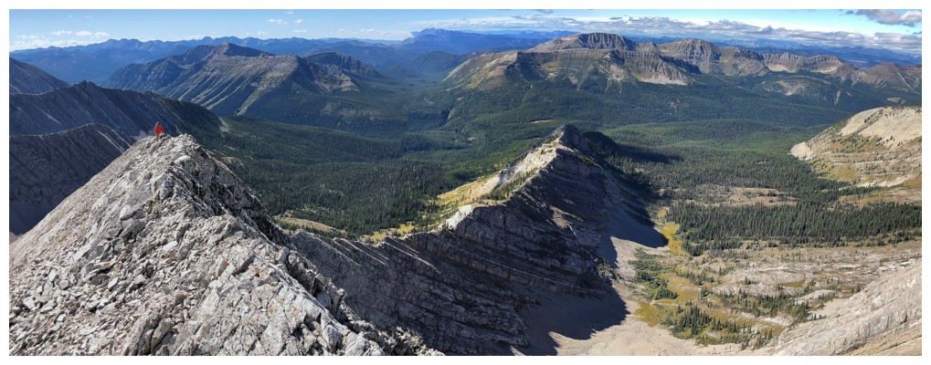
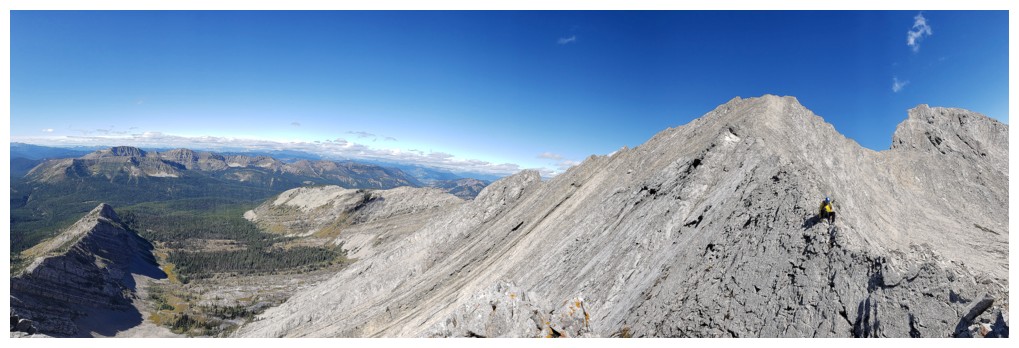
Dave on the ridge, with great views to the west
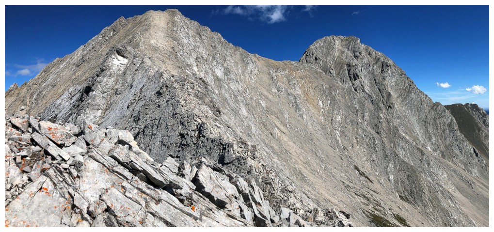
Yet again, appearances are deceiving: the ridge ahead is super narrow and super EX-POSED!!!
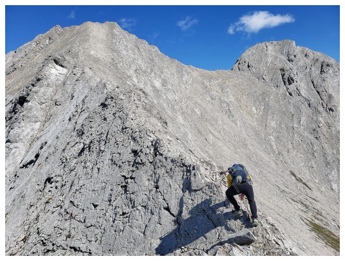
Starting my short sojourn across the narrow ridge (photo by Dave)
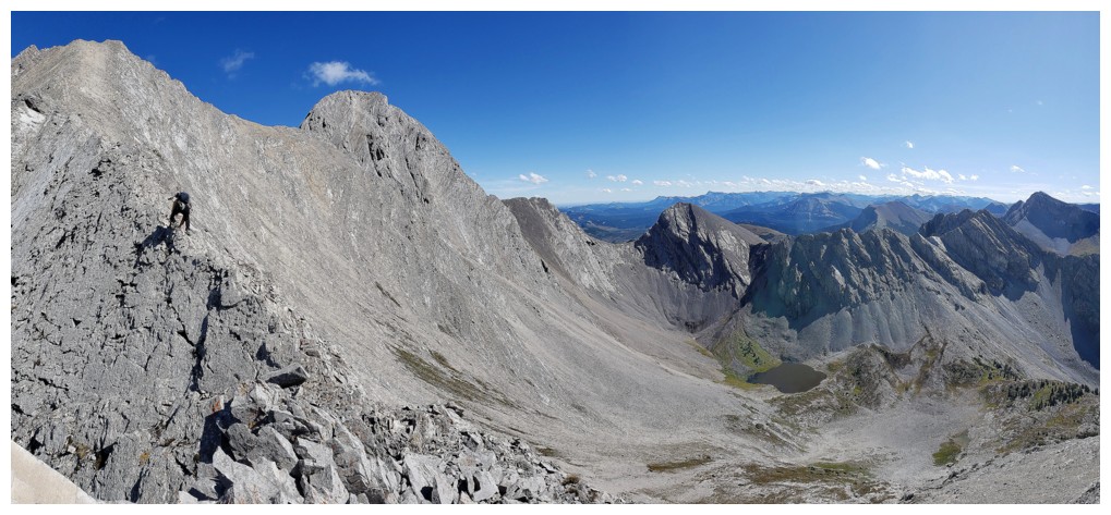
Bigger view of the area (photo by Dave)
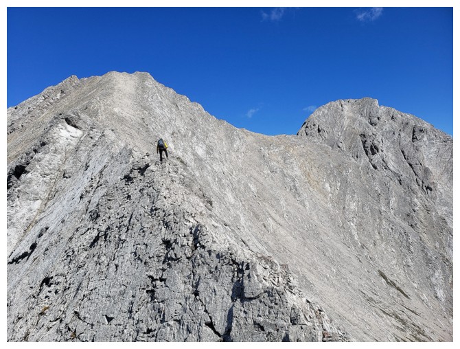
As far as I got (photo by Dave)
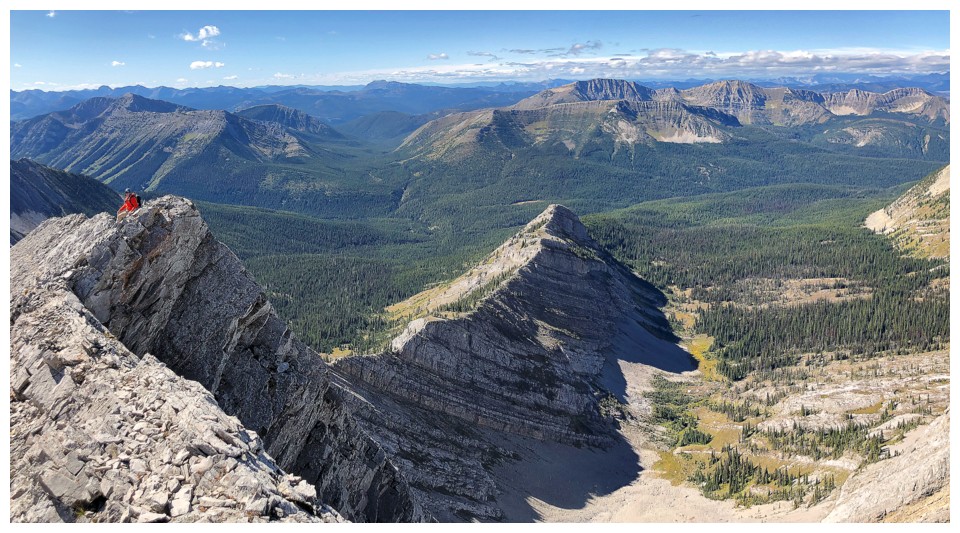
Dave's waits to see if the ridge will go
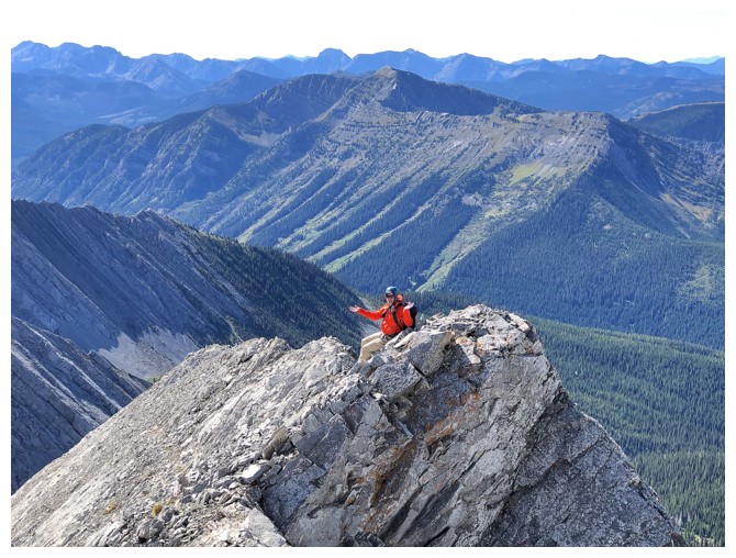
Dave's reaction when he's finds out it doesn't go
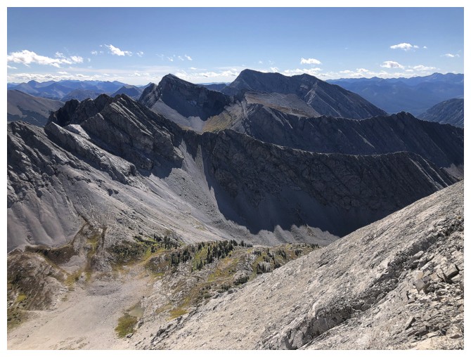
At least Centre Mountain still looks awesome
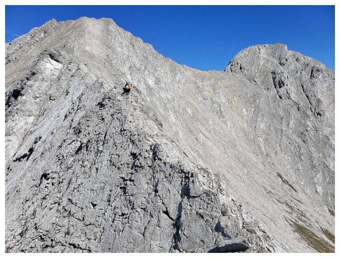
Retreat. I bum-shuffled most of the ridge back (photo by Dave)
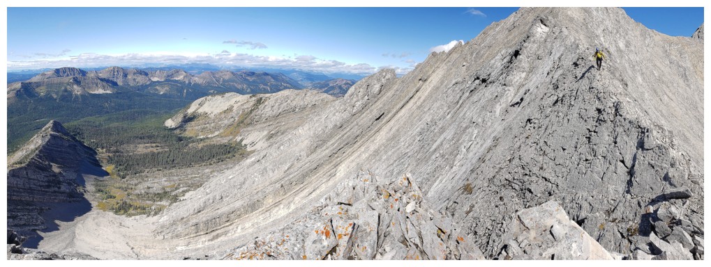
Then walked for a few steps (photo by Dave)
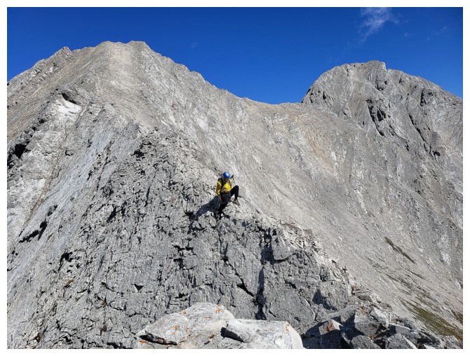
Then back on my butt (photo by Dave)
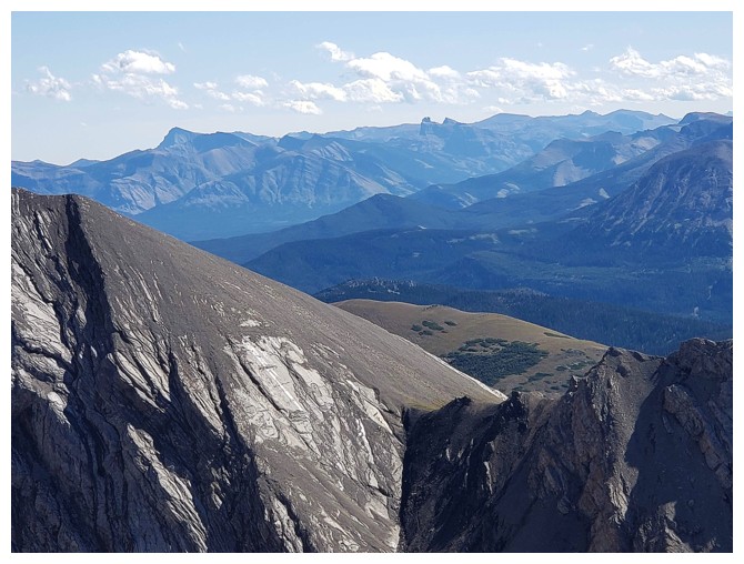
Dave captured a few of the distant, but distinctive peaks of the Castle, including Victoria Peak and Castle Peak (photo by Dave)
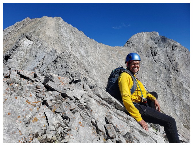
All smiles because I'm not dead (photo by Dave)
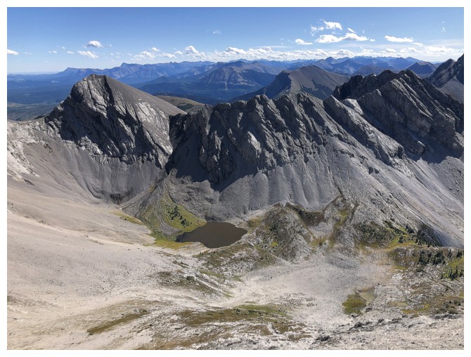
The murky tarn and valley below
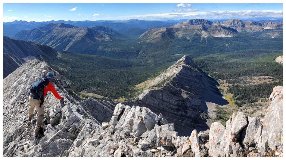
Returning along the ridge before dropping down to the valley
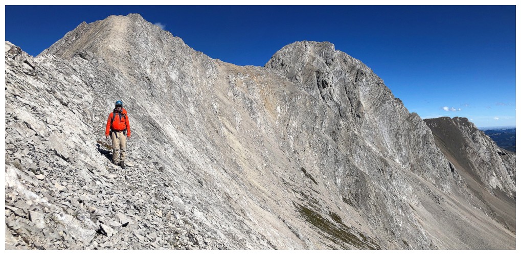
Dave and our failed objectives
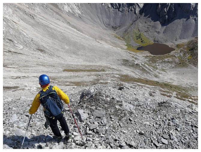
Looks like a long descent, but it was surprisingly short and easy (photo by Dave)
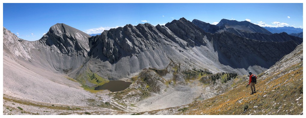
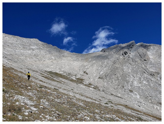
The angle of S2's ascent slopes look quite manageable from down here (photo by Dave)
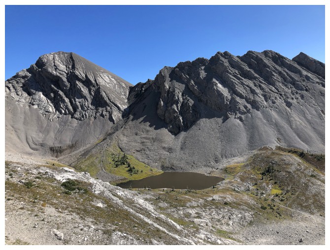
The tarn and more outliers of Darrah
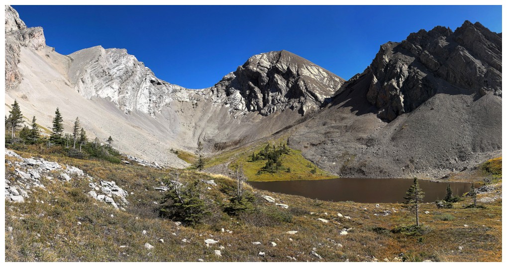
Getting closer
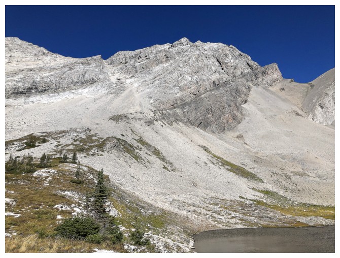
S2
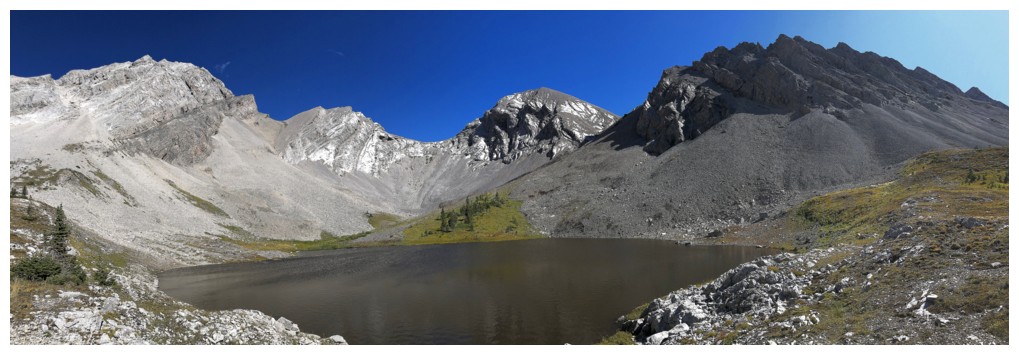
One of the best scenes of the day
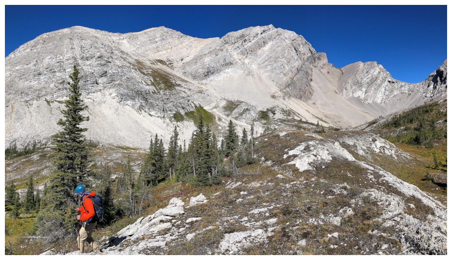
Regrettably leaving
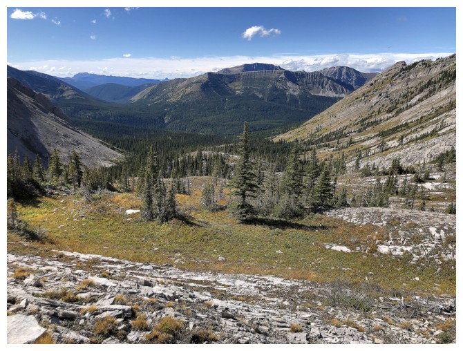
Looking down the valley
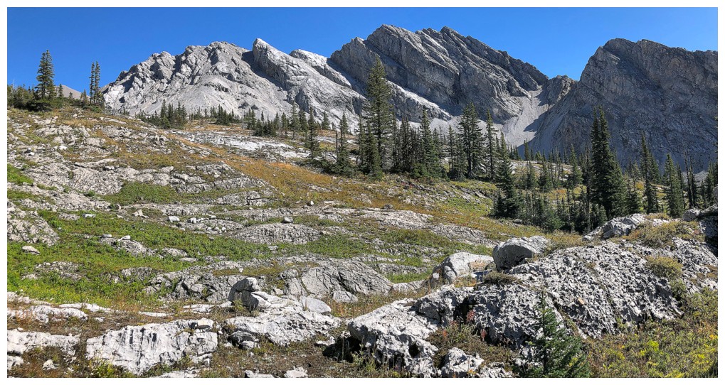
Looking back up the valley
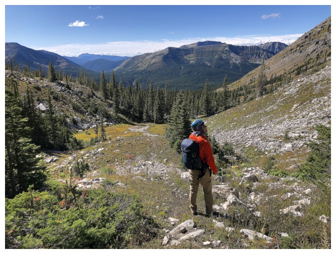
Dave checking out some the ridge we traversed earlier in the day
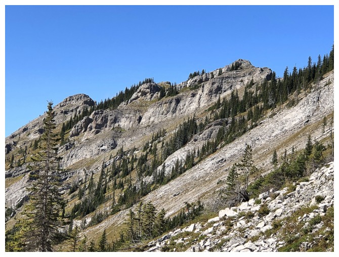
What Dave is looking at
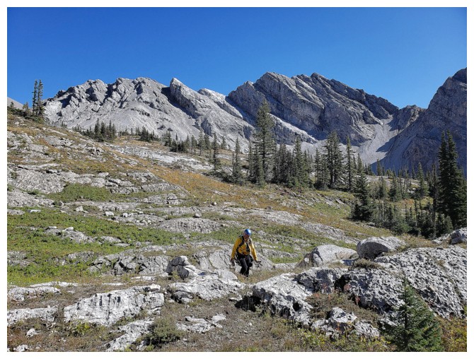 So many tempting outliers (photo by Dave)
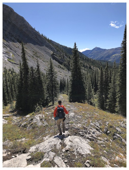
Dave finds the upper end of a faint ATV trail
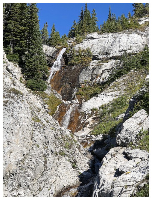
A beautiful multi-tiered waterfall by the primitive campsite
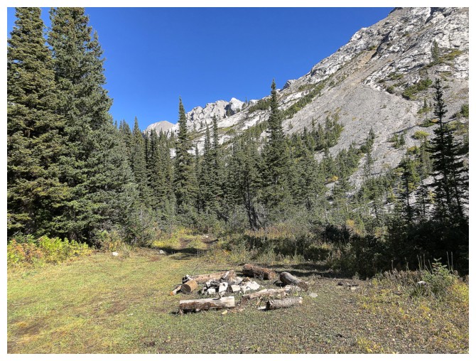
The campsite
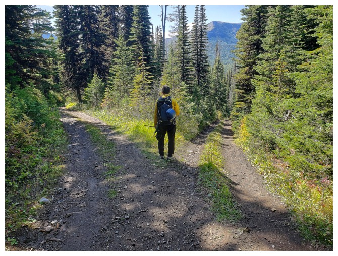
"Two roads diverged in a wood.......
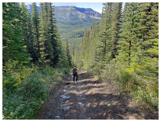
...and the right fork was helluva lot shorter! (photos by Dave)
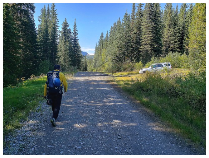
Last few metres back to Dave's 4-Runner. What a day! (photo by Dave)
The End

 Our excitement at reaching the top of the outlier was short-lived. This
mountain had already provided a slew of daunting challenges and it had no intention
of letting up. The ridge ahead looked even narrower and more exposed than what
we had just come up. I immediately thought of the classic line in the movie “Vertical
Limit”, when, in reference to climbing K2, Elliot Vaughn says to Tom McLaren, “Come on, what did you
think? She'd just lift up her skirt and pull her panties down for us?” (please
forgive the suggestive and perhaps inappropriate reference).


