Northeast End of the Northeast End of Loaf Mountain
(“The Muffin”)
December
31, 2018
 Mountain
height: approximately 1940 m
Mountain
height: approximately 1940 m
Elevation gain: approximately 400m
Roundtrip
time:
approximately 3.5 hours
Solo scramble.
No typo
in the title. This was simply a quick trip up the small hill that represents
the first highpoint of Loaf Mountain’s northeast end, as opposed to the northeast summit,
northwest of the east hill, which I reached many years ago. Confused yet? I am!
 Driving
around The Castle area in brutal winds on the last day of 2018, I needed
something quick and easy that would potentially be sheltered from the strong
winds that had been pounding all quadrants of the Rockies for the past 2 weeks.
The far northeast end of Loaf Mountain fit the bill perfectly. I was also to find
out later in the day that Dave McMurray had appropriately nicknamed this hill,
“The Muffin”, so let’s go with that!
Driving
around The Castle area in brutal winds on the last day of 2018, I needed
something quick and easy that would potentially be sheltered from the strong
winds that had been pounding all quadrants of the Rockies for the past 2 weeks.
The far northeast end of Loaf Mountain fit the bill perfectly. I was also to find
out later in the day that Dave McMurray had appropriately nicknamed this hill,
“The Muffin”, so let’s go with that!
I started
from the trailhead on the south side of Loaf Mountain, hiked to a point just
before the first drainage and then went straight up, following an animal track
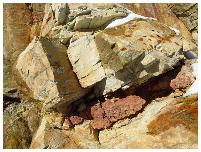
in the snow. Of course, at one point, I was distracted by a random chunk of
colourful rock near the drainage and had to check it out. Nothing much to
report, except your classic, amazing, Castle rock band with a frozen waterfall
running alongside it – wonderful!
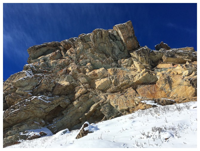
Above the
rock band, the ascent to the top of The Muffin was straightforward, though
longer than expected. For the east end of the east end of a front range peak,
views were pretty darn good! Drywood and Roche garnered most of my attention,
but the ridge heading west on Loaf itself got the rest of it.
I
ascended this ridge for a short distance, up to the next highpoint, tolerating
the viciously cold conditions for as long as possible. Continuing beyond that
would have required an earlier start and a wind chill that didn’t feel like
a liquid nitrogen bath!
Easy
descent and that’s all she wrote!
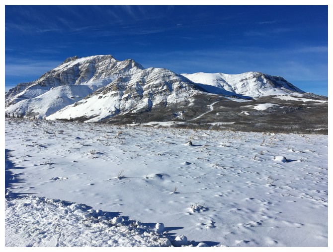
From the access roads, this view of the south side of Drywood Mountain provided
plenty of motivation to try something where that view would be featured.
The northeast ridge route of Drywood goes from right to left
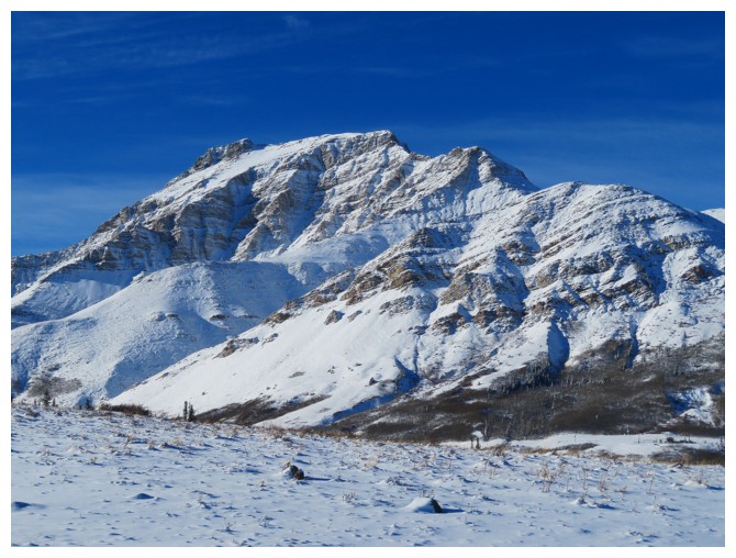
Same as above
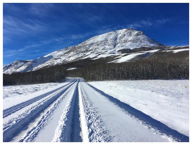
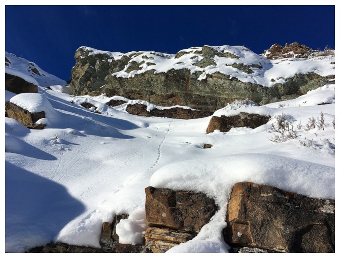
The Muffin. The tire tracks of an Alberta Parks truck helped make easy work of the approach.
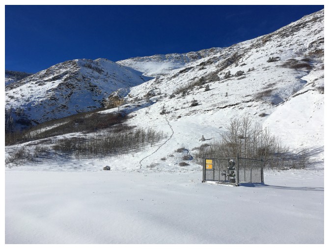
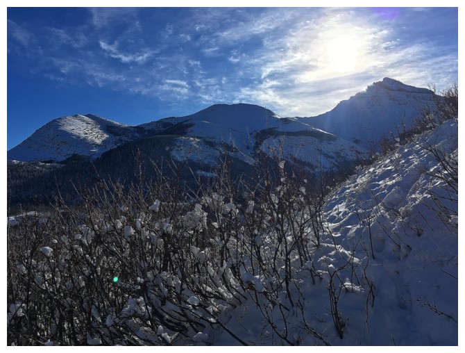
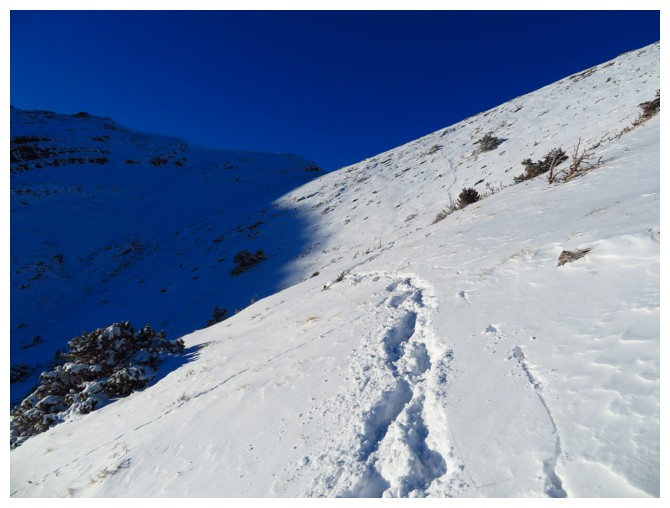
Approaching the ascent slopes. Note the deer tracks that provide a perfect route up
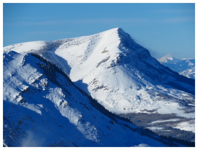
Mount Roche (Spread Eagle Mountain) is one I would love to repeat someday
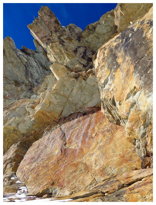
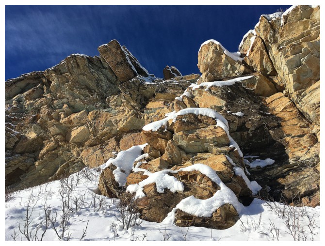
The rock band that distracted me
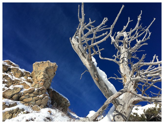
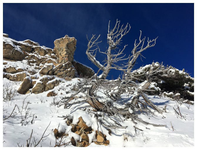
This tree was pleasantly distracting too
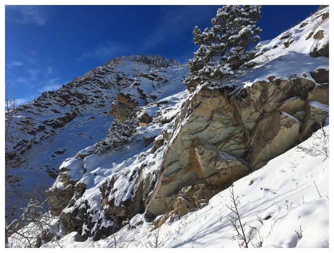
Approaching the rock
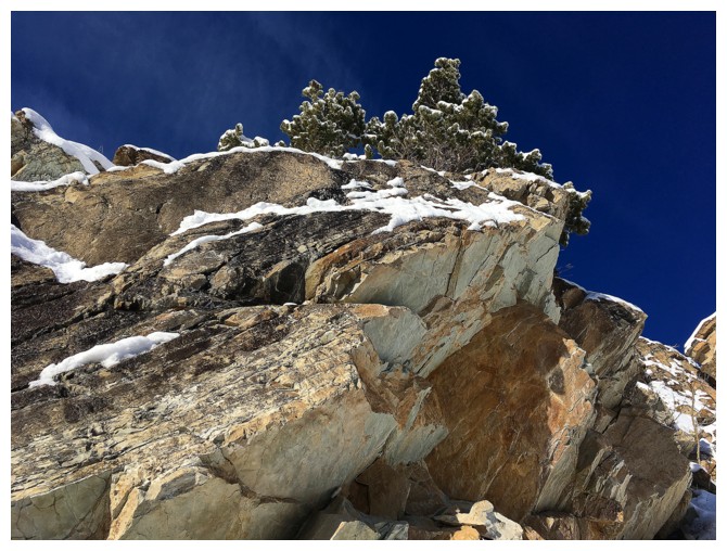
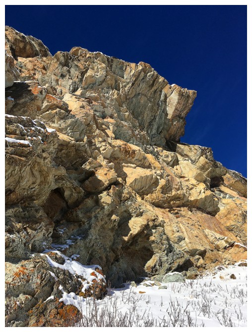
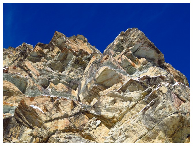
Here comes the classic Castle rock
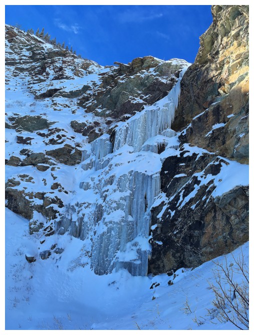
Frozen waterfall. A reminder of our short-lived ice climbing ventures
More classic Castle rock
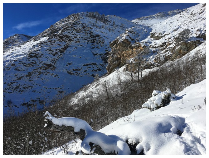
Terrain directly above the rock band by the frozen waterfall
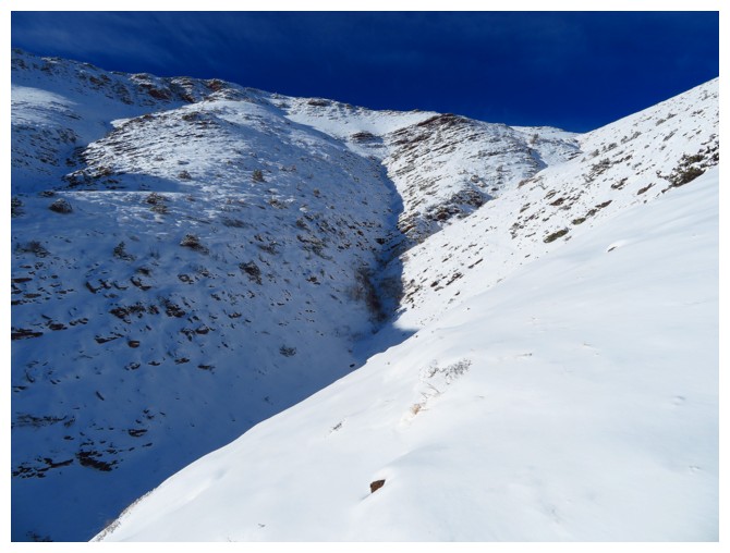
Looking up the drainage. I went to the right.
Another view of Roche
Pretty obvious
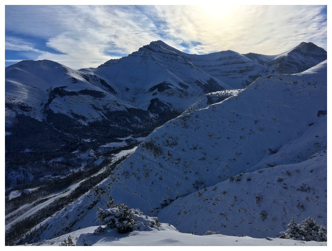
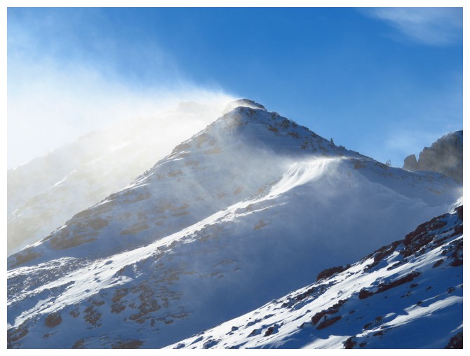
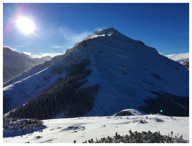
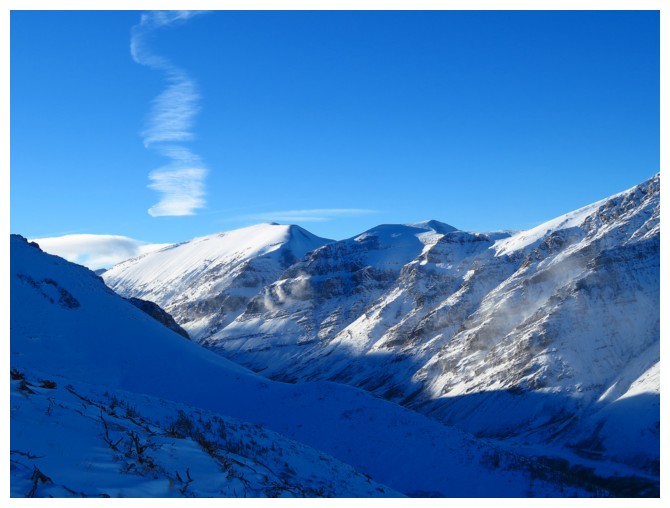
Gaining elevation and better views of Loaf's long northeast ridge
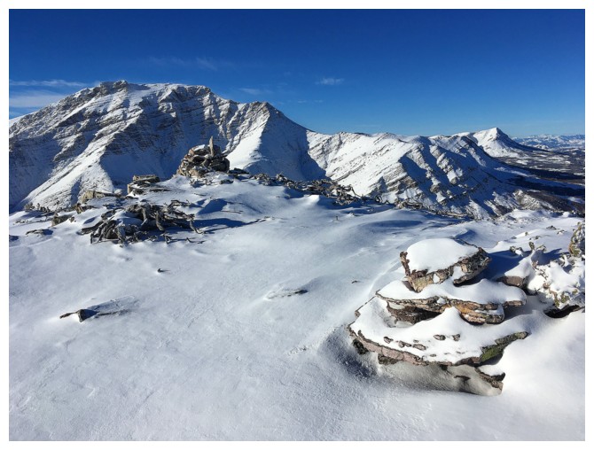
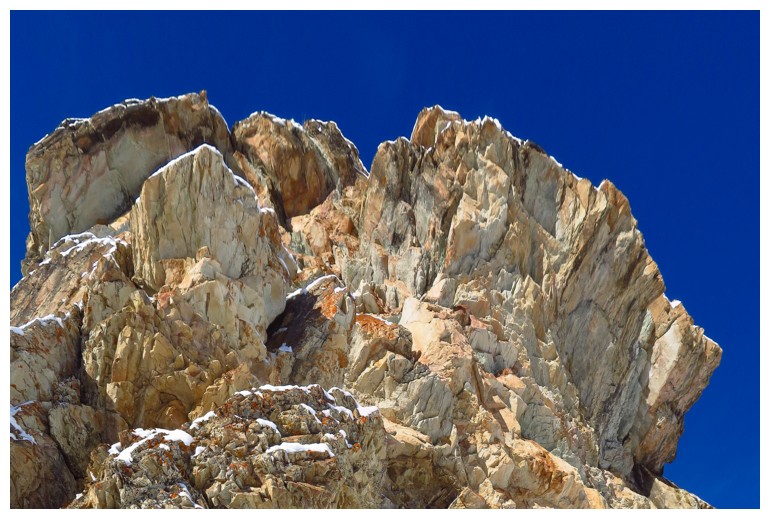
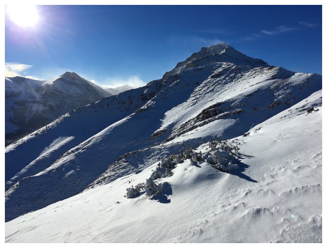
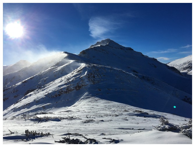
Summit of The Muffin
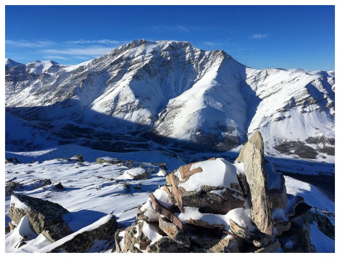
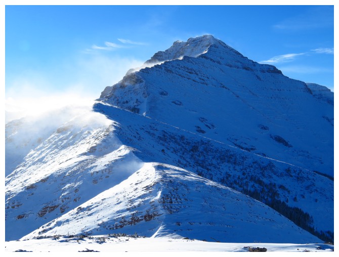
And the view of Drywood
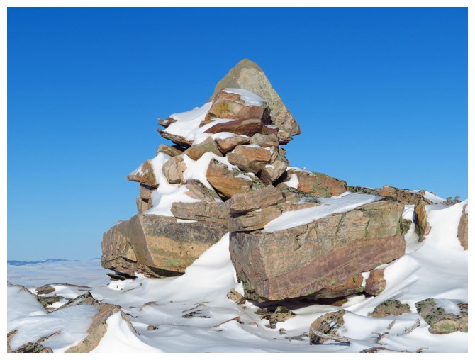
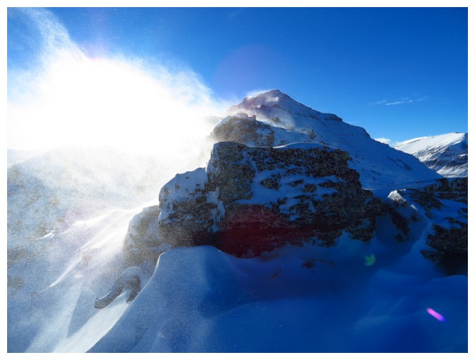
Nice cairn!
Leaving The Muffin towards the next highpoint to the southwest
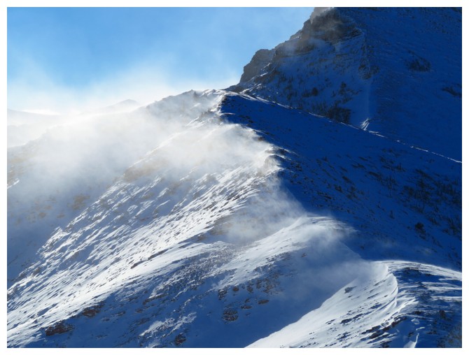
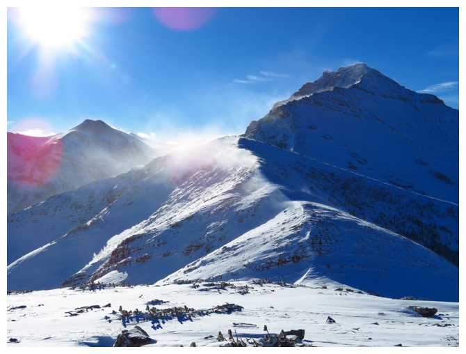
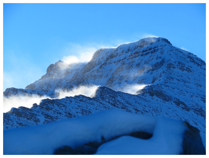
High winds during the snowy months means stunning views, but also severely cold temperatures
One of my best friends in the southern Rockies - Prairie Bluff
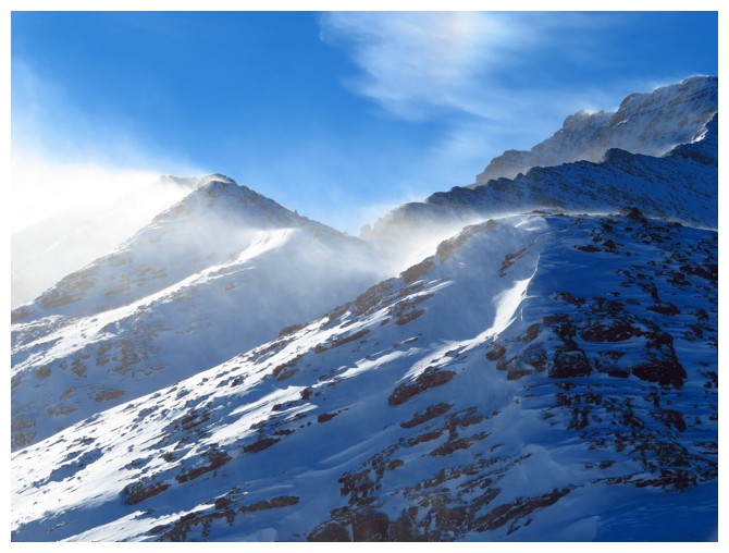
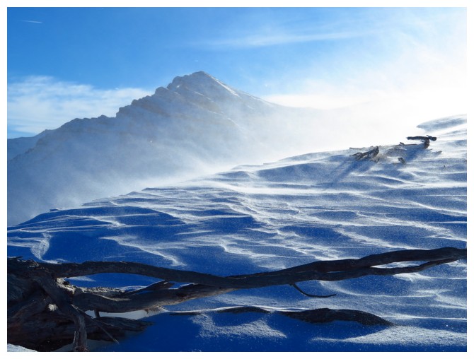
Awesome ridge ahead
Love the blowing snow, but the accompanying temperatures don't agree with my aged hands
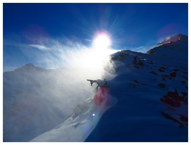
Another nice cairn and another awesome view of Drywood. End of the line for me.
The continuation of the ridge towards the Northeast End of Loaf - another day
The wind is not going to let down for the descent either
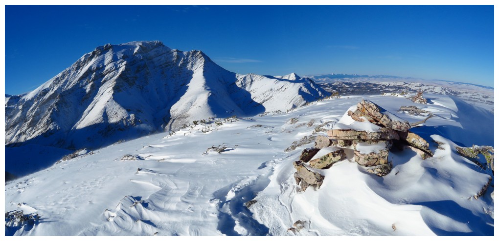
Closer look at the Northeast End Of Loaf
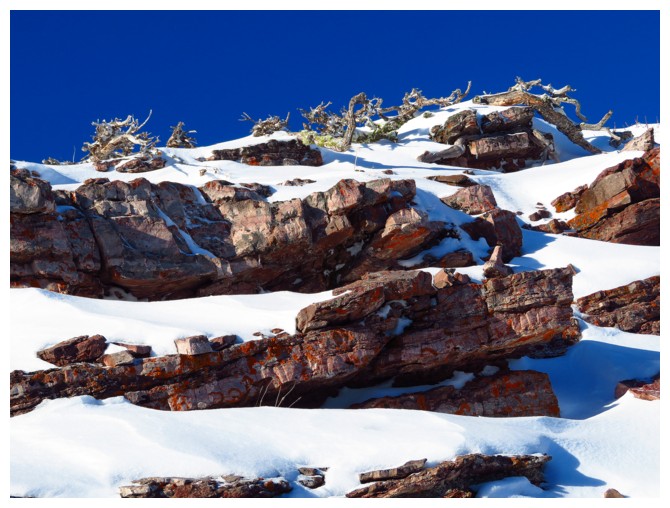
Getting my red argillite fix for the day!
The southwest summit of Drywood
Last look before the Sun sets
The End