Drywood Mountain III

November
5, 2011
Mountain
height: 2478 m
Elevation gain:
934 m
Ascent time:
3:45
Descent
time:
2:45
Solo
scramble.
Borrowing
another Bob
Spirko route, I set out to ascend Drywood
Mountain for a third
time, via the north ridge, instead of the southeast face. 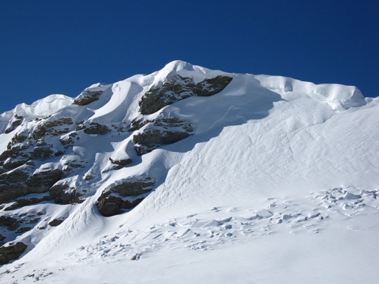 I
didn’t have Bob’s
specific route with me, but knew the general way up.
The
ascent drainage was easy to find and easy to ascend. Higher up the
drainage, the
dazzling shades of the red argillite canyons walls would have looked
spectacular lit up by the Sun. Unfortunately, unless the Earth decides
to
completely shift its angle of rotation this canyon will never see a lick of Sunlight!
When
it looked feasible, I left the creek and headed up a steep, scree slope
leading
to a particularly interesting rockband. From below, it
appeared to be a
straightforward ascent up the rockband; up close it was anything but
straightforward! The terrain was steep, snow-covered, and quite exposed
in
places. 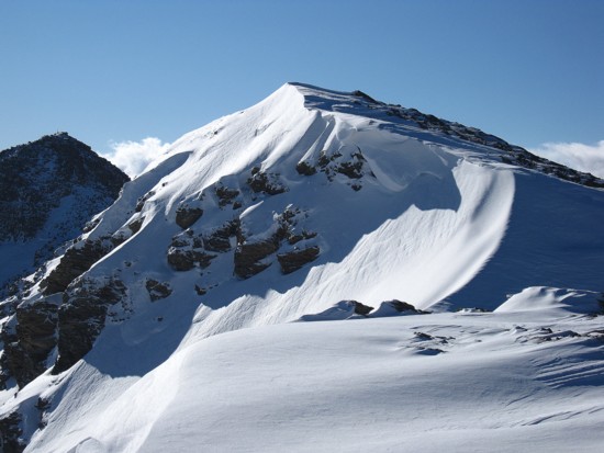 After
a couple of nerve-wracking moves up terrain I should not have
been on by myself, I arrived at a far less serious slope and was able
to
breathe a sigh of relief. The
remainder of the ascent to
the ridge was mercifully easy.
The
only downside of the north-facing ascent, up to that point, had been
that a
complete lack of Sun, the mountain itself casting a tremendous shadow
over the
route. Periodic views of the summit block of Pincher Ridge behind me
provided
at least something to ogle at. That finally changed upon reaching the
ridge,
where glorious views of Pincher Ridge in its entirety and the west peak
of
Drywood awaited. Recent snow covered most of the stunning colours of
rock on
Pincher (in my opinion one of the most photogenic mountains in the
Rockies),
however I have never known snow to ruin the appearance of any mountain
and this
was no exception.
A
somewhat foreshortened and very cold ascent of the north ridge
followed,
bringing me to the far northeast end of the peak and more fantastic,
snowy
views. From there, the 500 odd metre traverse to the true summit took
me a
solid hour – not because the terrain was challenging (it was all
hiking, with
one or two scrambling moves), but because the scenery on the ridge was
so
amazing that I was unable to keep my camera in the case (and
consequently my
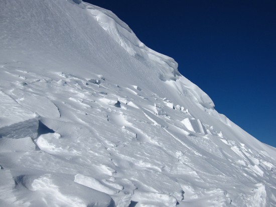
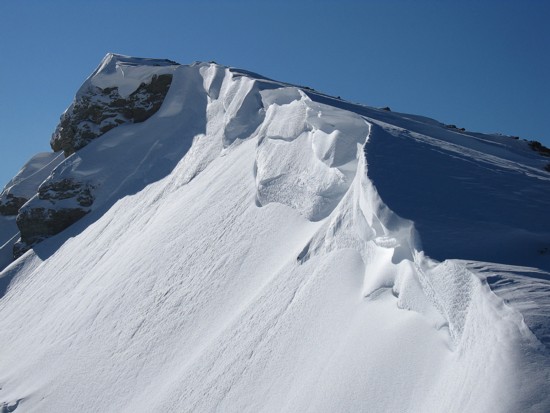
hands warm!). Clear, blue skies, small, but shapely cornices, sun and
shadow, gusts
of violently blowing snow, followed by periods of complete calm, and
just plain
old breath-taking mountain scenery made this traverse as enjoyable an
experience as I’ve ever had in the mountains. I LOVE winter!!

An
absolutely superb trip!
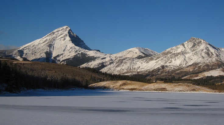
The classic view of Victoria
Peak (left) and Prairie
Bluff, with Butcher Lake in front
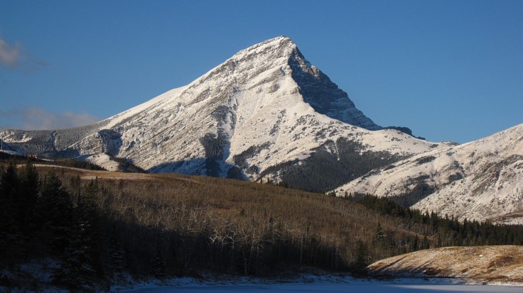
Victoria
Peak
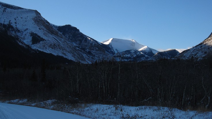
Drywood
Mountain to the left; the west summit in the centre
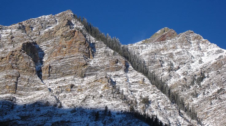
Looking back to Pincher
Ridge
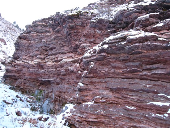
The red argillite in the canyon
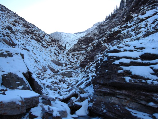
More of the canyon
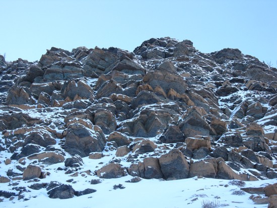
The interesting rockband that lured me
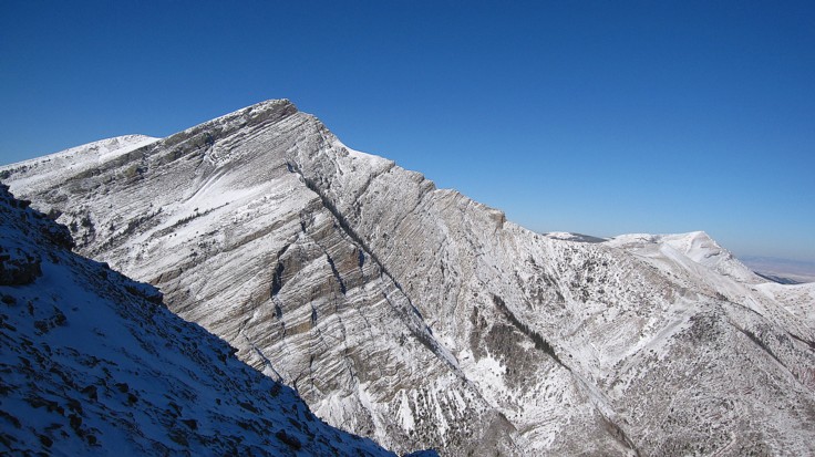
Pincher
Ridge again
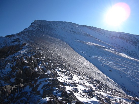
Finally some Sun, looking at the next section of the ascent
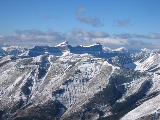
Windsor
Mountain and Castle
Peak

The view to the west, northwest, and north
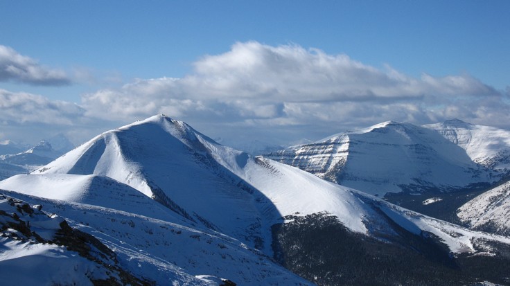
The west summit of Drywood (left) looked fantastic throughout the day;
the summit of Victoria Ridge at the far right
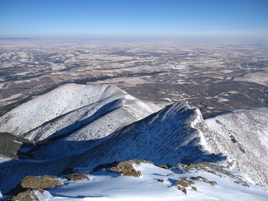
Looking down the east ridge of Drywood, with the prairies beyond
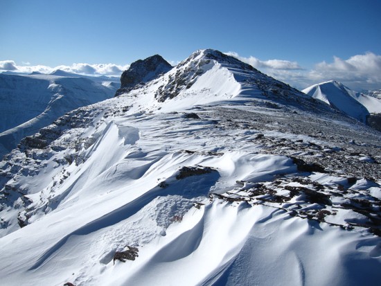
Looking west along the ridge towards the summit at the left
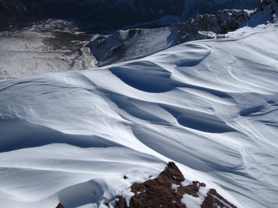
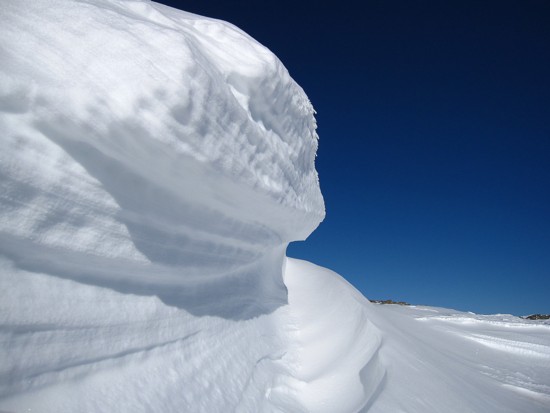
Snow sculpting
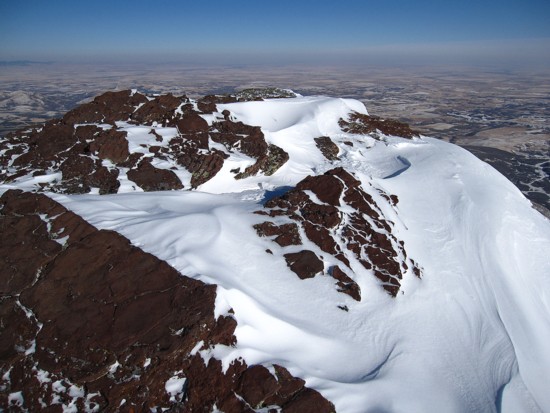
....with red argillite
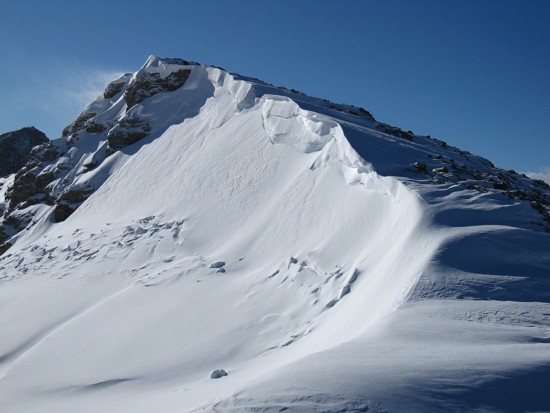
Approaching one of the most scenic sections of the ridge
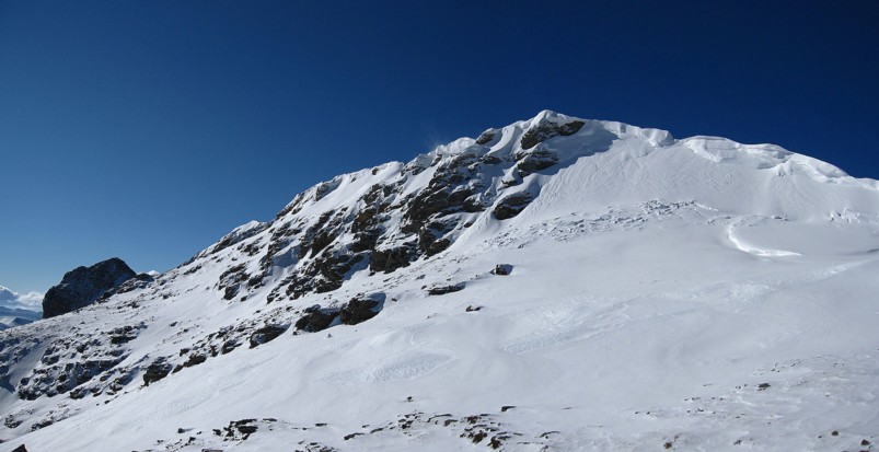
From the south side of the ridge
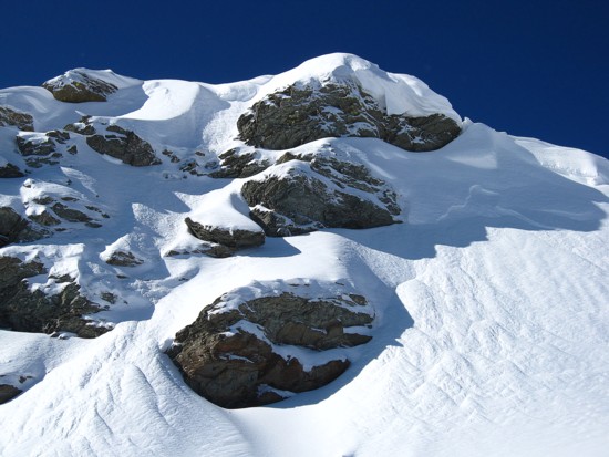
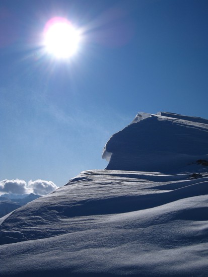
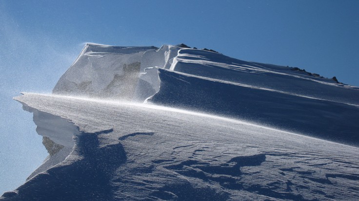
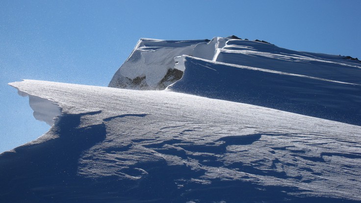
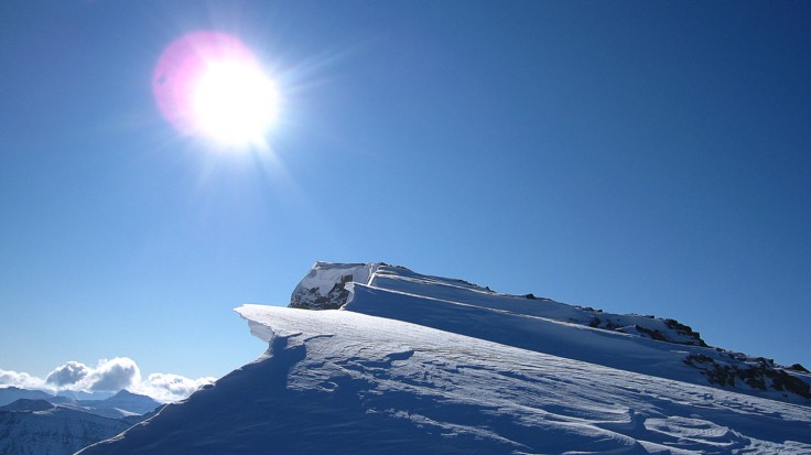
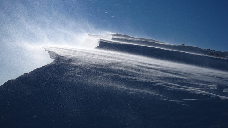
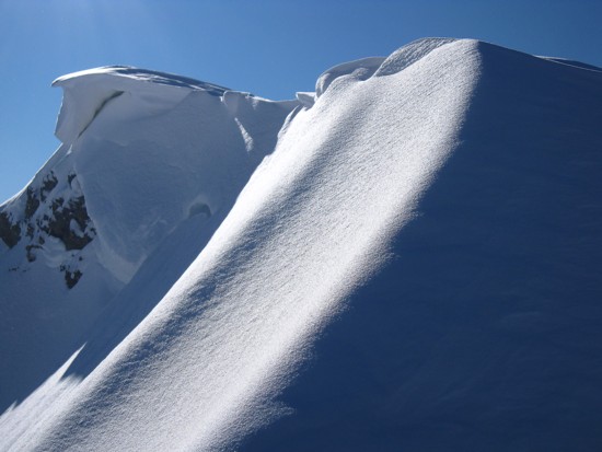
Always one of my favourite scenes: snow, rock and blue sky
Minus the rock
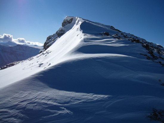
Another one of my favourite scenes: snow and shadow
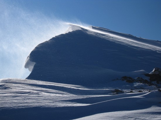
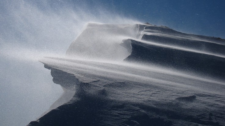
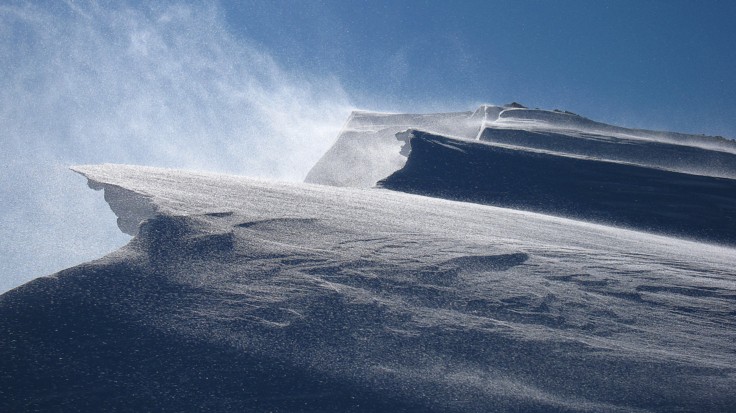
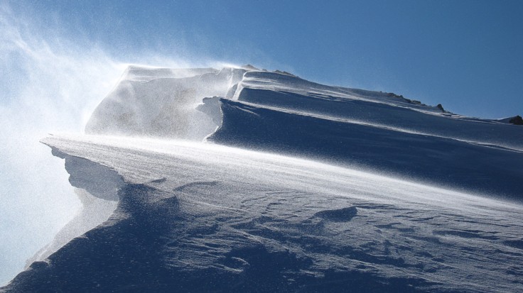
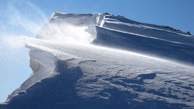
Blowing snow time
or maybe not
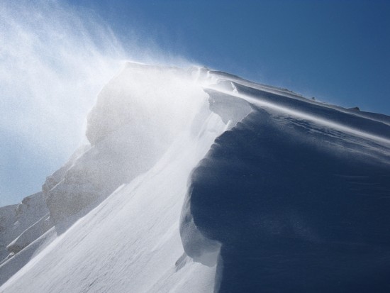
Blustery
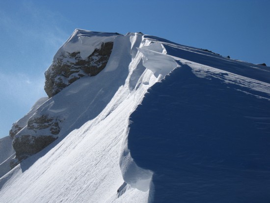
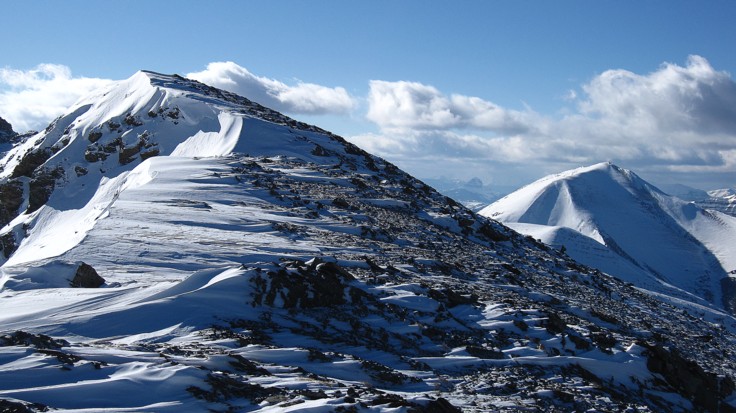
Calm
When you can't decide which photos you like the best, stick them all up!
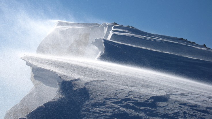
The next section of the ridge
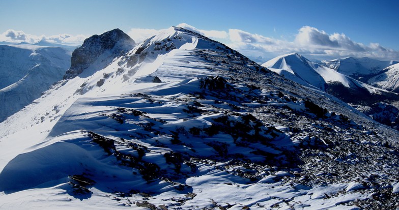
Same as above
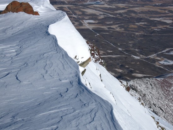
Curves of snow and the prairies below
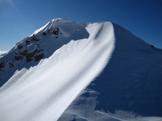
Different curves
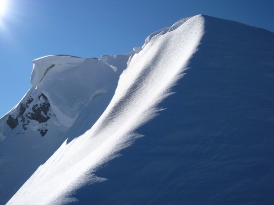
Same as above
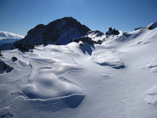
Finally getting closer to the summit
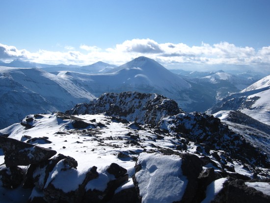
The summit view towards Loaf Mountain in the centre
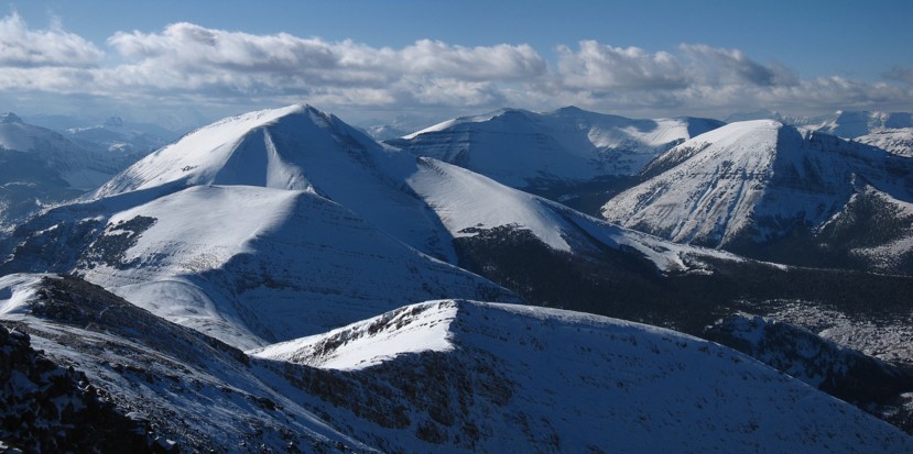
The view to the west; the west peak in the foreground, at the right is the south summit of Pincher Ridge
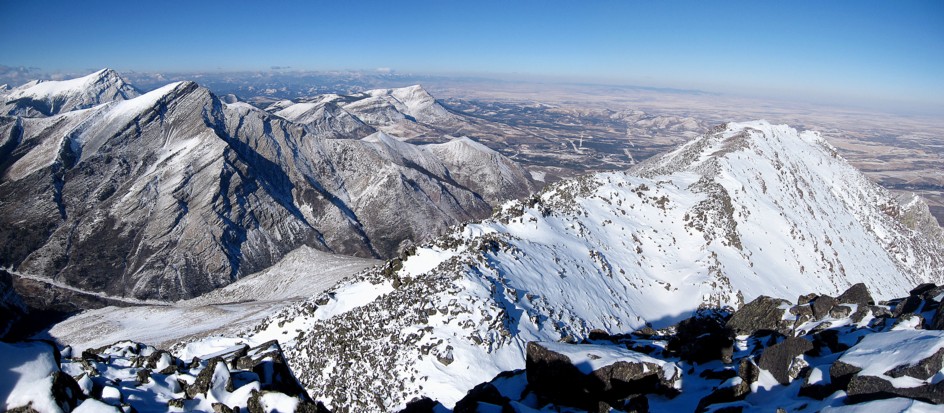
Northeast

A more comprehensive summit view
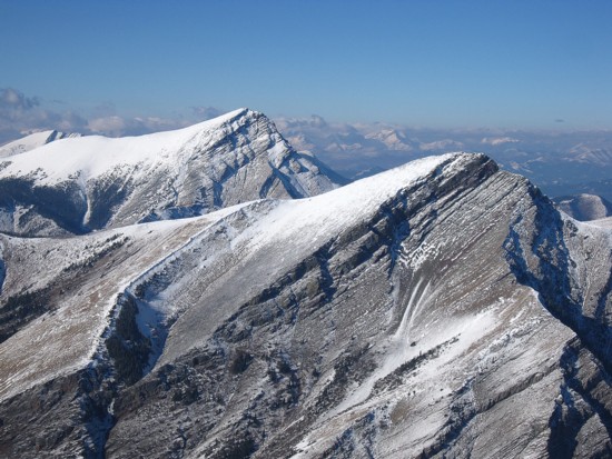
Victoria Peak (left) and Pincher Ridge
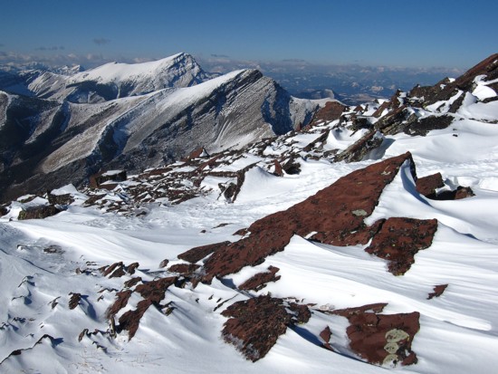
Same as above, with a chunk of red argillite mirroring the peaks
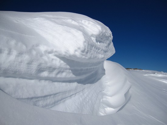
Another superb spectacle of wind-sculpted snow
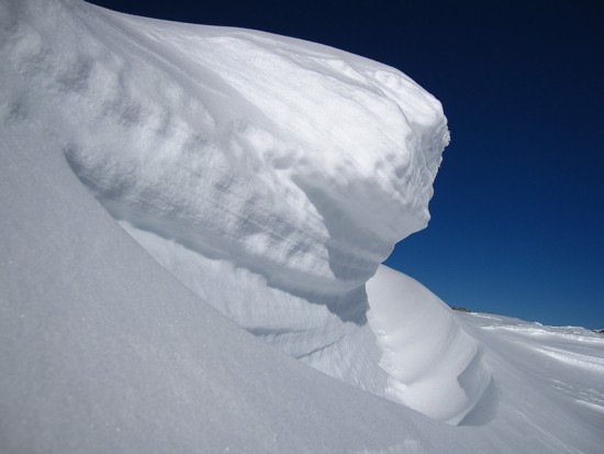
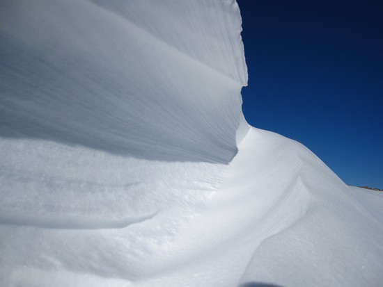 Same as above
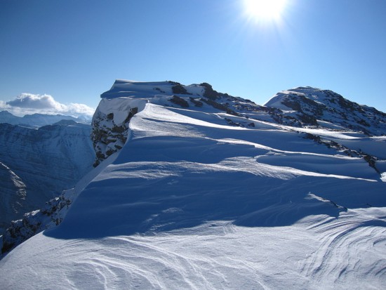
Many scenic views on return also
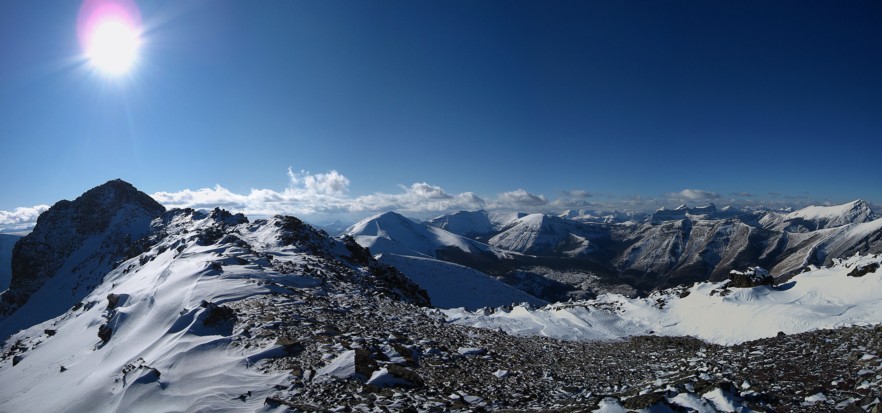
A last look at the ridge and summit
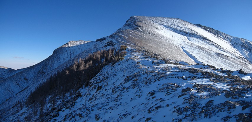
Looking back up the ascent route
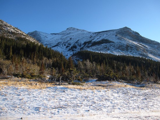
The ascent route from the gravel road
 The end
LOG


 I
didn’t have Bob’s
specific route with me, but knew the general way up.
  After
a couple of nerve-wracking moves up terrain I should not have
been on by myself, I arrived at a far less serious slope and was able
to
breathe a sigh of relief. The
remainder of the ascent to
the ridge was mercifully easy.


