Lys Ridge
September 24, 2016
Mountain
heights: West Castle 2320 m, Lys Peak 2522 m
Total elevation gain: 1500 m
Roundtrip time:
12.5 hours
Scrambling
with Dave McMurray and Jollin Charest.
Triple
WOW for this one!!! Even writing the trip report 9 months after the fact I get
a bit of an adrenaline rush thinking about this day. Lys Ridge had been on my
brain for some time, having read Rick Collier’s excellent trip report on
Bivouac. I was super excited to find that not only was Dave McMurray interested
in the mountain, but he had also scoped out a potential new route. Sweet!
We met in
Beaver Mines and then drove in one car to the trailhead. Within 5 minutes I
knew this was going to be an awesome day, summit or no summit. This was the
first time I had hiked with both Dave and Jollin and they were great! We had
tons to talk about and I immediately sensed their passion and excitement for
the mountains.
Given
Dave’s outstanding report (that all who are interested in this infrequently
ascended ridge should read), I will spare the reader the specific details and
simply offer…
Everything
about this trip was gold:
1. The boulder field ascent route to the ridge – usually
this kind of terrain is annoying, slow, tedious and/or dangerous. However, on
Lys it was super fun, scrambly, with a great variety of rock underfoot.
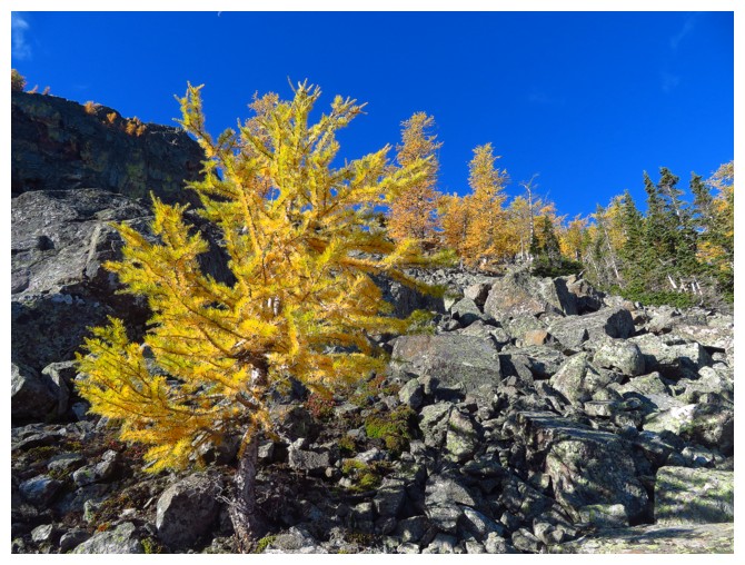
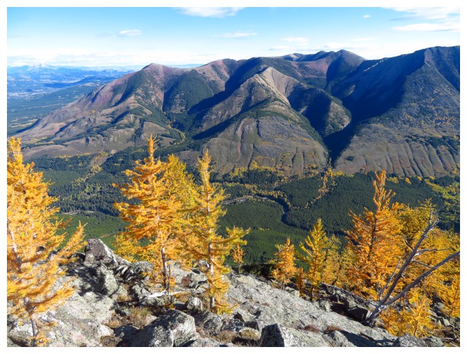
2. Larches – our timing was perfect to see the huge
swaths of golden larches everywhere.
3. The ridgewalk to West Castle – super scenic, varied,
and enough colours to make a rainbow jealous.
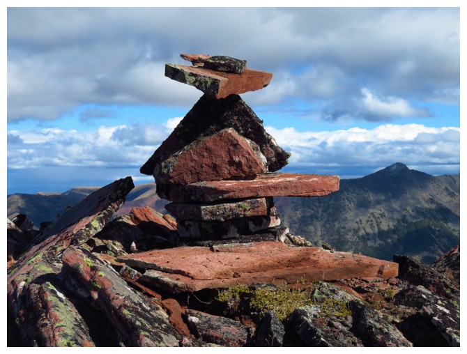
4. Watching Jollin do his magic balancing act with cairn
rocks – and then losing $20 in a bet because I didn’t think he could do it (I
think I still owe him the money!).
5. Another amazing ridgewalk to Lys Peak, with great
ridge scenery, interesting route-finding and more incredible colours.
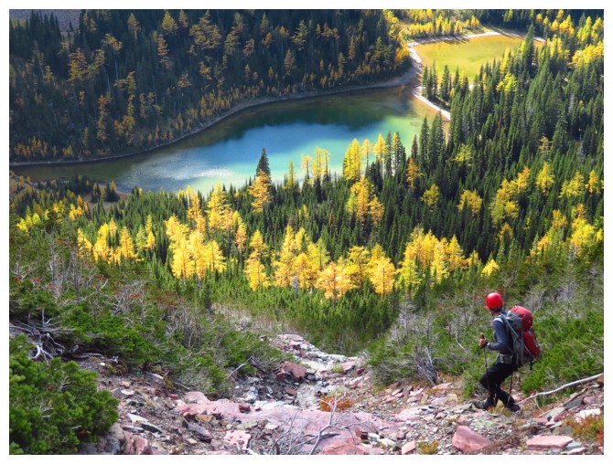
6. Lakes
– four beautiful lakes reside in the valleys
below – Lys, North Scarpe, Grizzly and Ruby. Surrounded by larches, Lys
Lake
was especially
breath-taking from up high and Ruby was gorgeous at
its
lakeshore.
7. Dave and Jollin’s light-hearted banter and antics
throughout – fun guys!
8. The summit view and views throughout were generally spectacular.
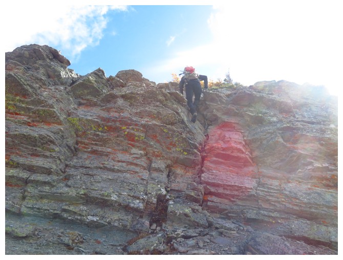
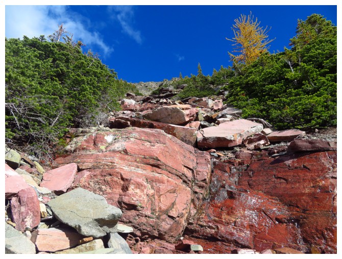
9. The RASC!!!! *RED ARGILLITE STAIR-CASE*. The descent includes
going down a staircase of red argillite. I must have died and gone to heaven!!
10. Once again, the company – what amazing
guys to share 12.5 glorious hours of fun hiking, scrambling and adventure with.
Thank you, my friends!
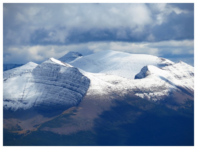
 Dave's ascent route goes up the boulder field, left of centre
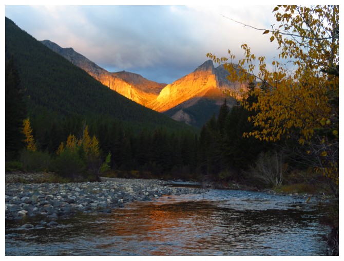
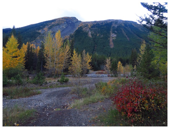
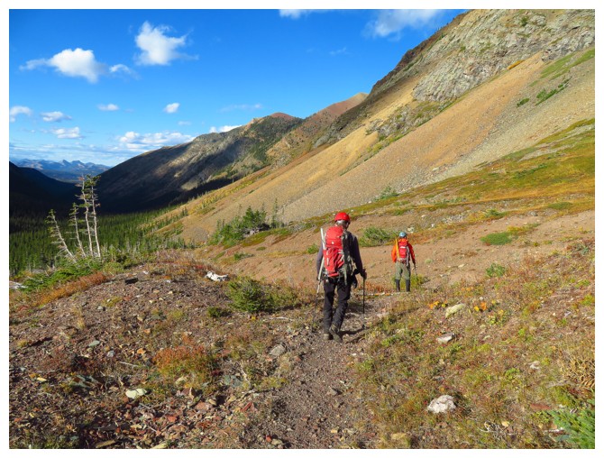
A little sun on Barnaby Ridge before we cross the river
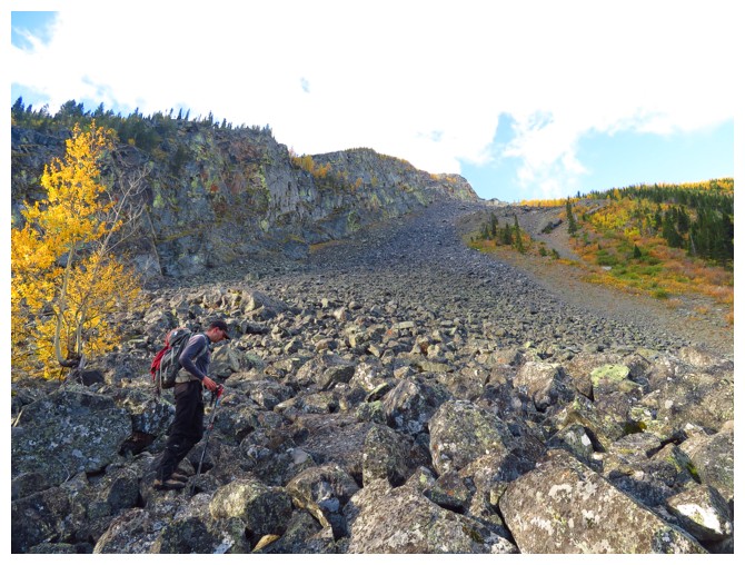
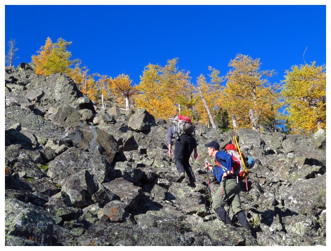
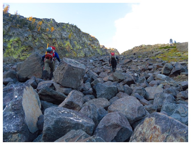
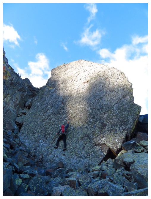
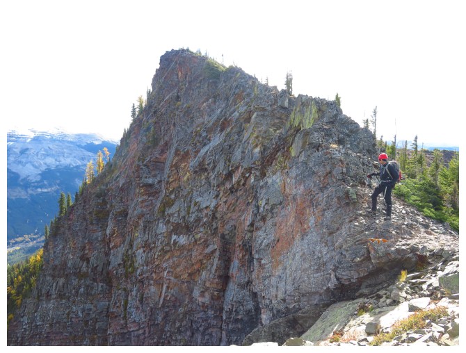
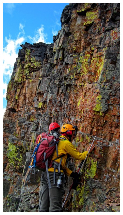
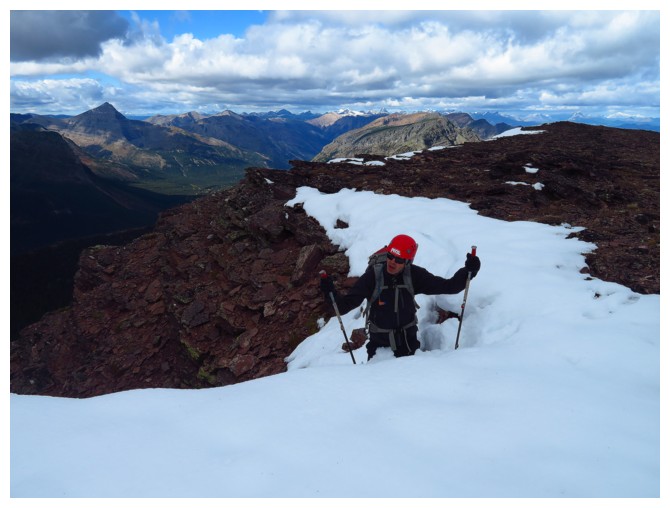
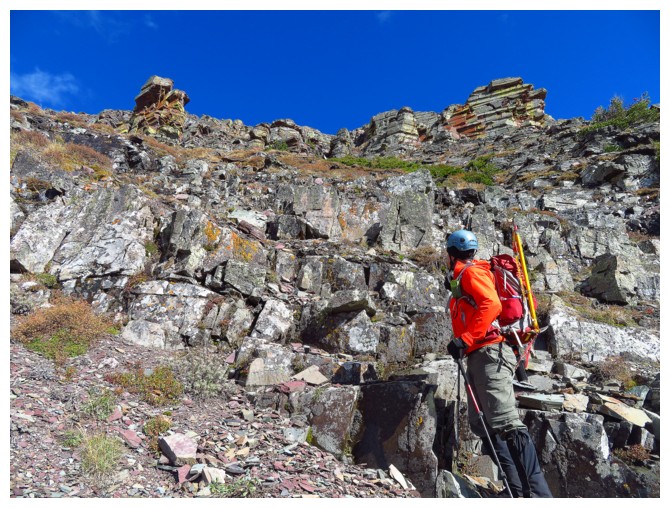
Jollin hits the boulder field. It may look tedious from this vantage point, but was in fact great to ascend
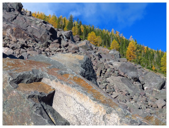
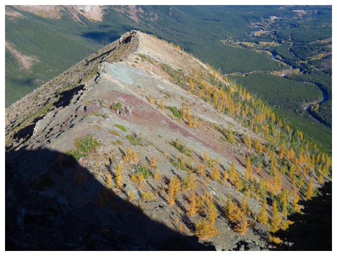
Sections of colourful, slabby rock and the larches contributed further to the enjoyment of this section of the trip
Jollin tackles an enormous, almost vertical slab of rock
And then peeks down it from the top
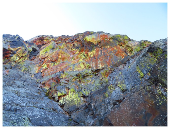
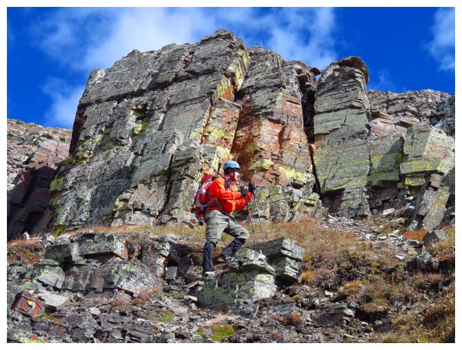
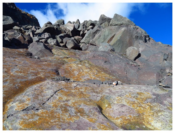
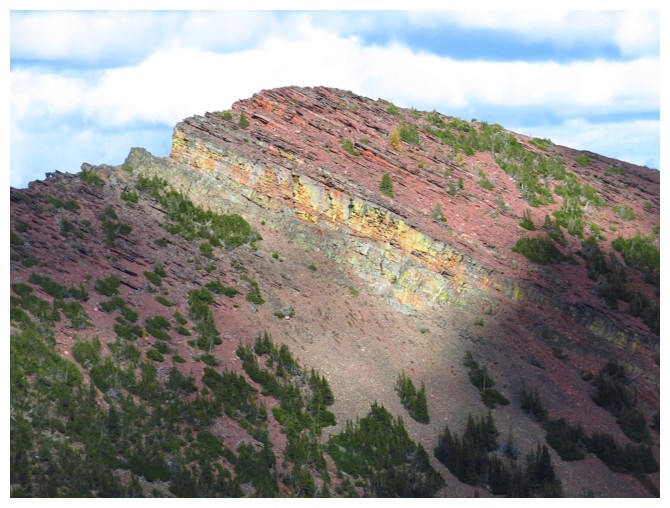
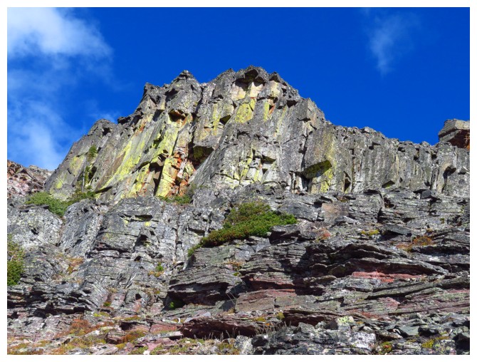
Awesomely colourful rock!
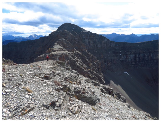
Looking down the north ridge
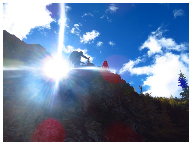
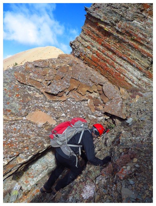
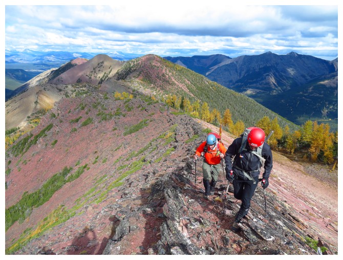
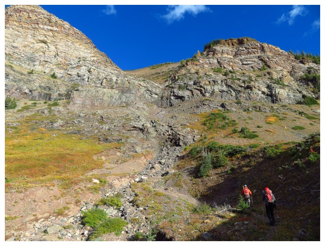
Jollin enjoys a short section of scrambling before we hit the ridge
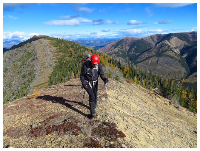
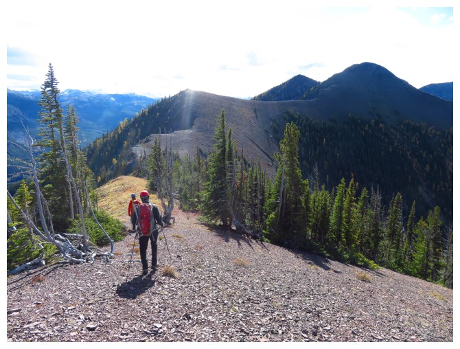
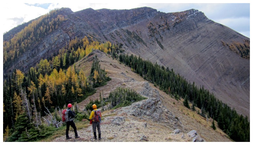
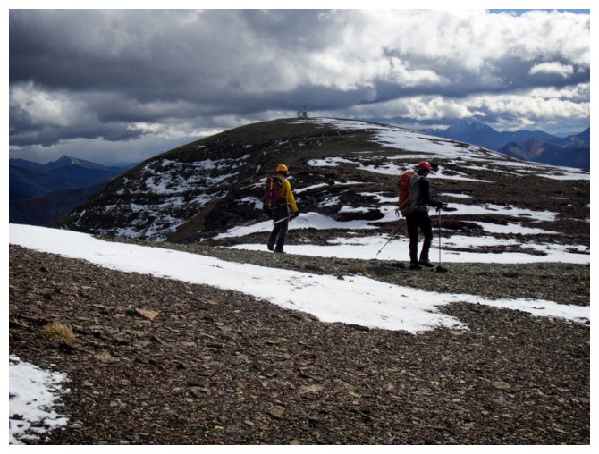
The ridgewalk begins
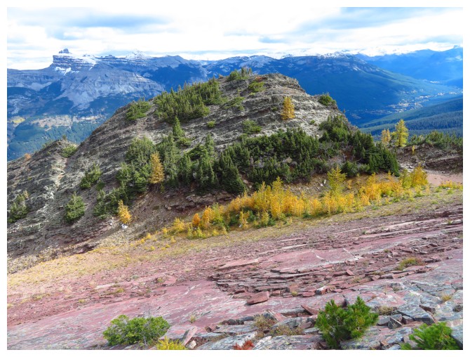
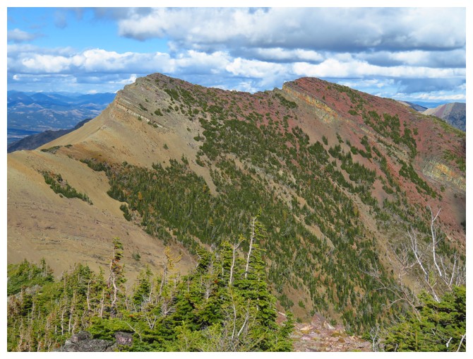
Looking back at the colourful north end of the ridge
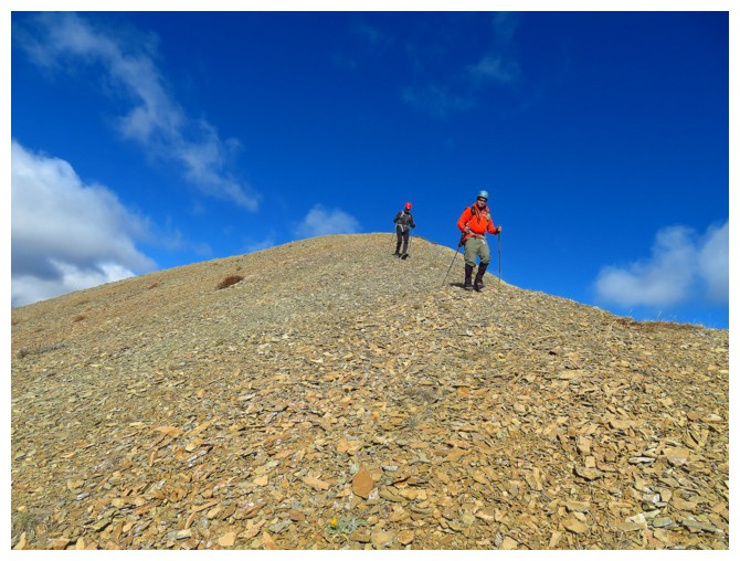
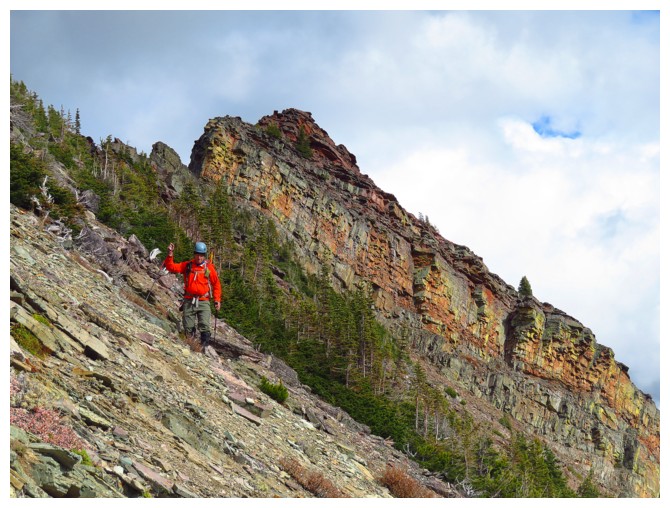
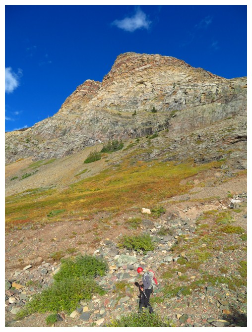
Lots of ups and downs before we reach the summit of West Castle
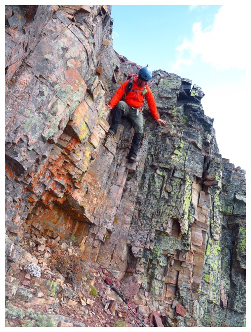
And some fun scrambling
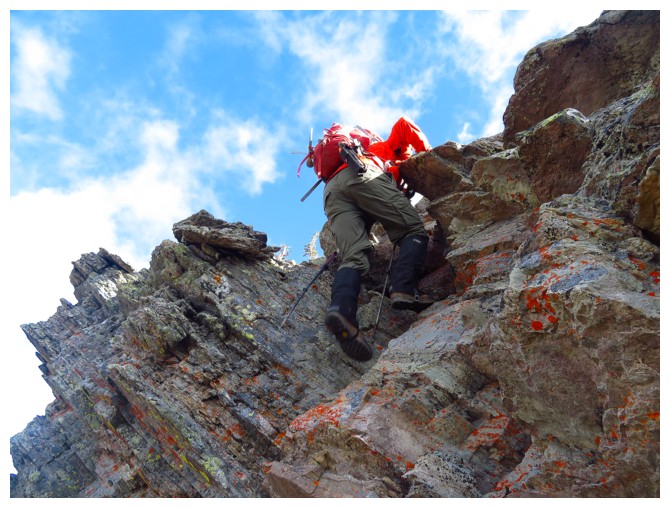
Impressively steep rock
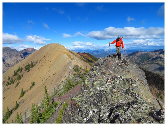
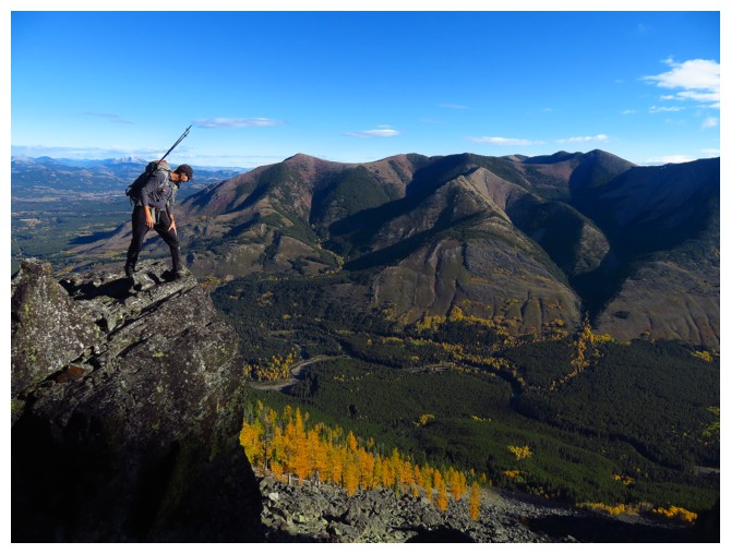
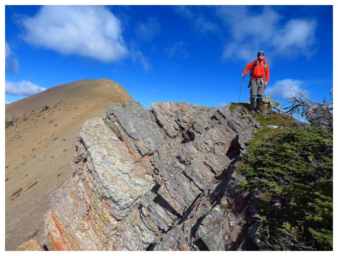
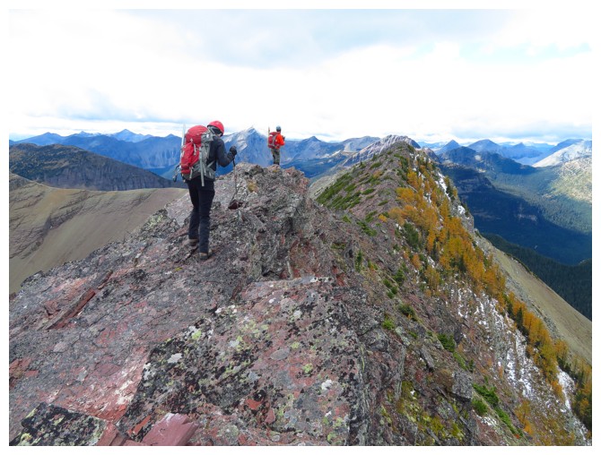
Dave gingerly strolls along the terrific ridge
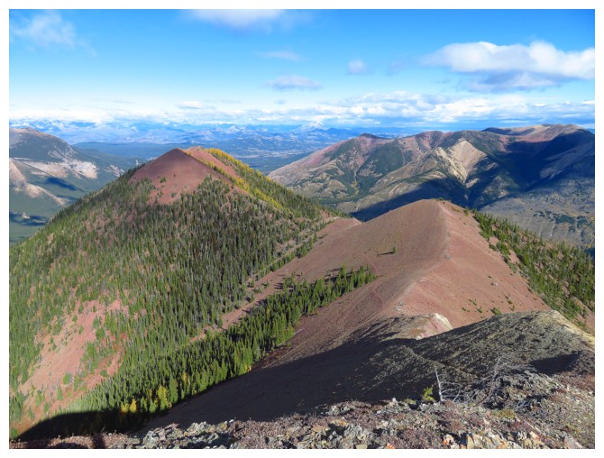
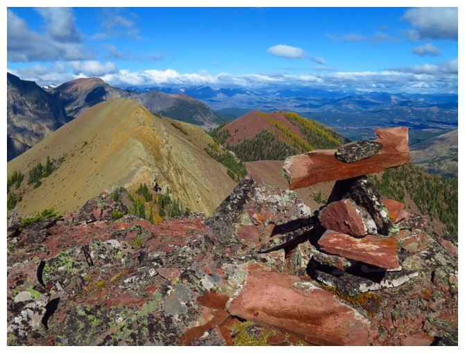
The ridge we have traversed is looking even more colourful
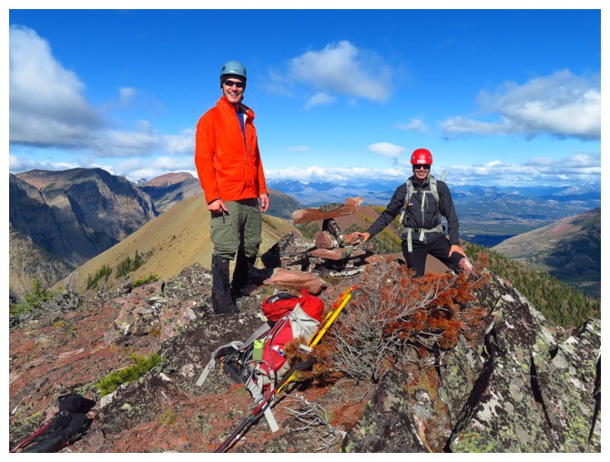
Dave, Jollin's amazing summit cairn, and Jollin at the summit of West Castle
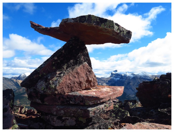
That is poetry, Jollin!
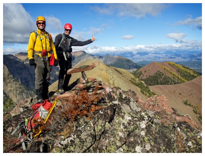
The $20 loser in yellow and the $20 winner in black!
My favourite view of the cairn and ridge behind
Jollin and I check out the next and very interesting section of the ridge (photo by Dave)
An interesting rest spot along the way
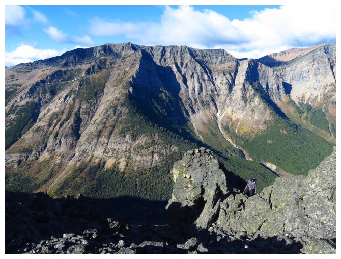
Dave and Jollin approach the drop off where a little backtracking and route-finding are required
Dave downclimbs
Jollin and I have an intimate moment with the rock (photo by Dave)
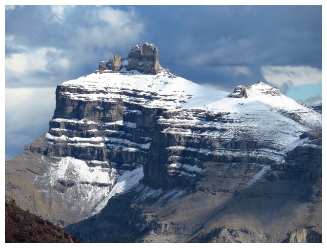
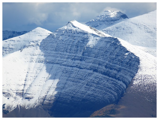
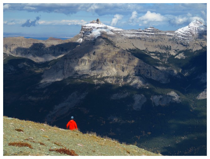
Castle Peak
Looking back at the section we went around
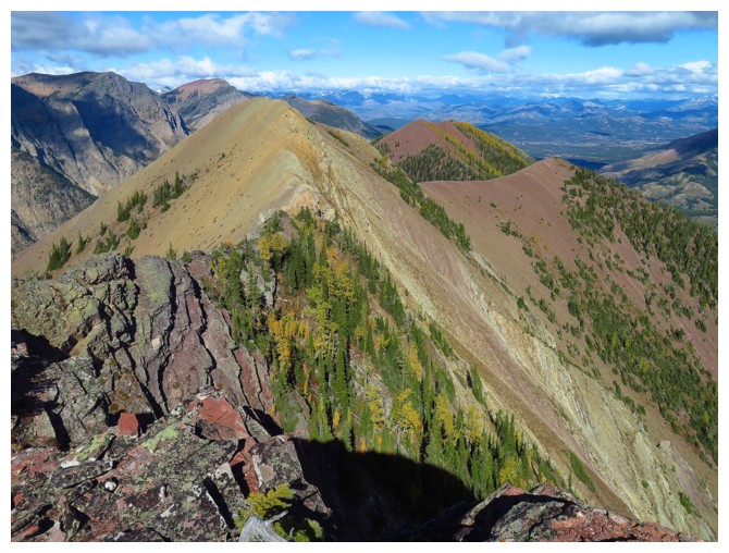
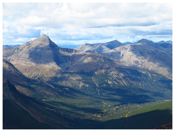
The summits of Spionkop Ridge, Mount Glendown, "Newman Senior" and Newman Peak
A closer look at Spionkop and Glendowan
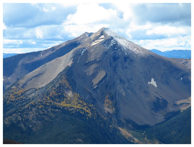
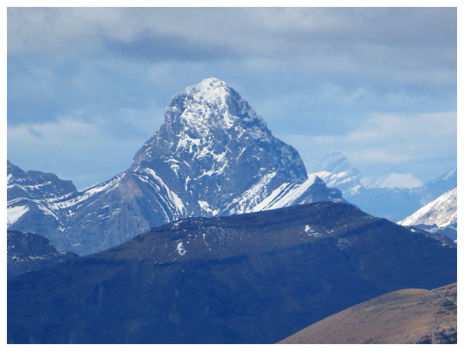
The tallest official mountain in the area, Mount Haig at 2618 m
The tallest unofficial mountain in the area (that's taller than the tallest official one!), "Jake Smith Peak" at 2630 m
Jollin second occupation is a Cornice Tester
Mount Darrah always stands out, no matter how distant
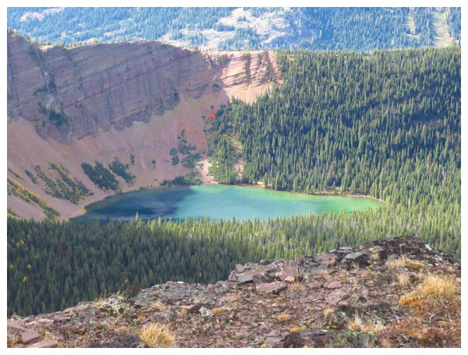
Grizzly Lake
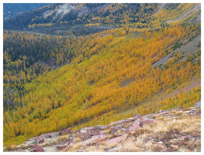
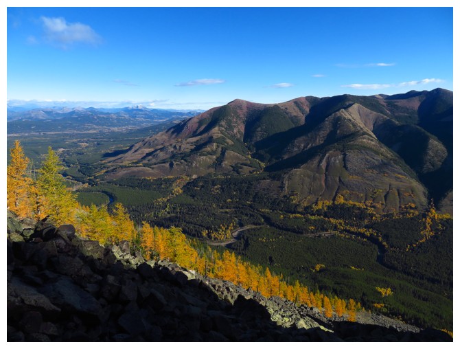
That's a lot of larches!
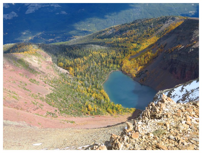
Lys Lake
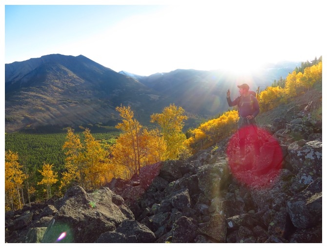
Approaching the summit (photo by Dave)
Dave takes a side-trip to check out Lys Lake
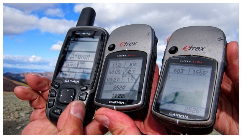
A pretty good example of the inaccuracies of GPS (although personally
I'm always severely impressed that they are within 10 metres of
one another,
given the diameter of our wee little planet is a mere 12,756,320 metres) (photo by Dave)
Heading down
Dave looks back up at some of the interesting terrain we descended
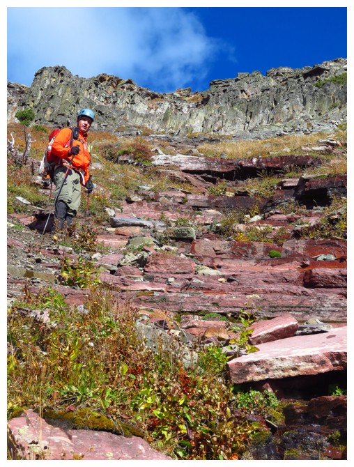
Near the top of the RASC
Oh Yeah!!!!
Approaching Ruby Lake
Jollin is also a Decaying Log Tester
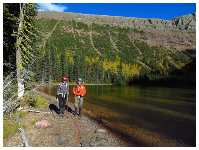
Jollin and Dave at Ruby Lake. You can see that there are actually multiple RASC's!
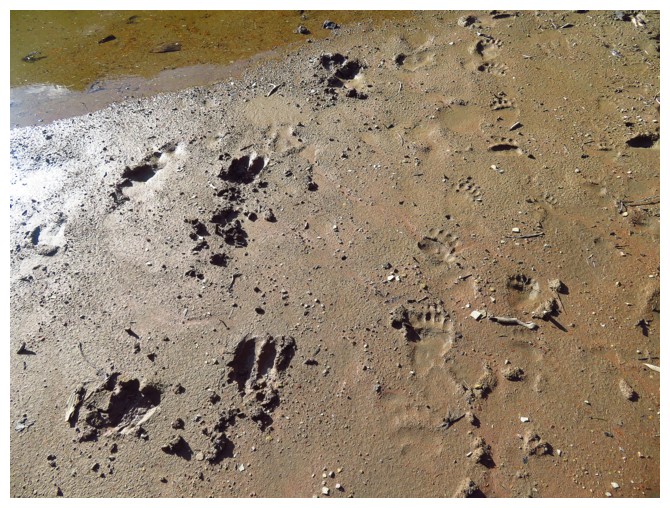
Footprints in the mud. Something with hooves and something with claws!
Part of the long hike back, but even that was super scenic
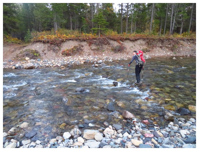
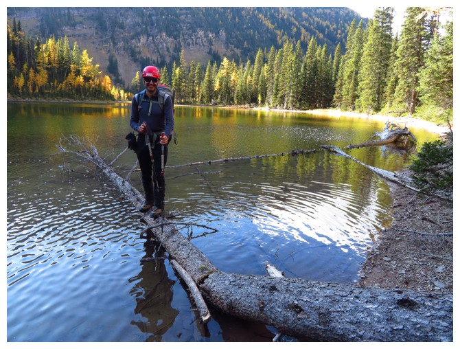
Jollin
re-crosses the river. Of course, we had to walk 2 km upstream and go
back across the river twice to retrieve our hip-waders!
LOG