December 9, 2024
Mountain height: 2415 m
Elevation gain: 900 m
Ascent time: 5:25
Descent time: 2:30
Scrambling with
Mark.
Indecisive, as
we drove into the mountains, we eventually settled on a return to Opal Ridge
North, more so for the nostalgia factor. 22 years had elapsed since our
last ascent, a very memorable day with several of Mark’s work colleagues,
Ashraf, Colin, Holland, and Keung.
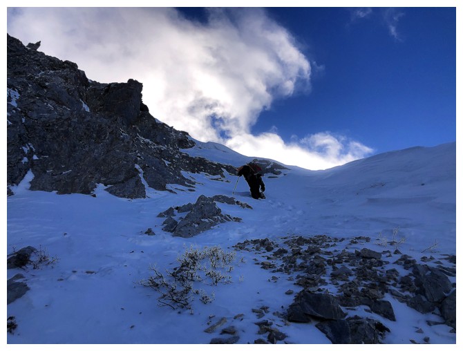
 Starting by
headlamp we slowly gained elevation on the steep slopes leading to the north
ridge. The snow on the route was initially not a factor and with microspikes actually
made travel a little easier. The same was true for the ridgewalk to the base of
the summit block.
Starting by
headlamp we slowly gained elevation on the steep slopes leading to the north
ridge. The snow on the route was initially not a factor and with microspikes actually
made travel a little easier. The same was true for the ridgewalk to the base of
the summit block.
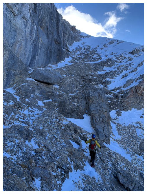
Different story
for the next section, however. Here, the snow was a detriment, turning “moderate”
terrain into “scary” terrain! Mark tried a route straight up a steep snow-filled
gully, but the upper part was too dangerous. We were close to giving up, when I
spotted a potential line over to the right. 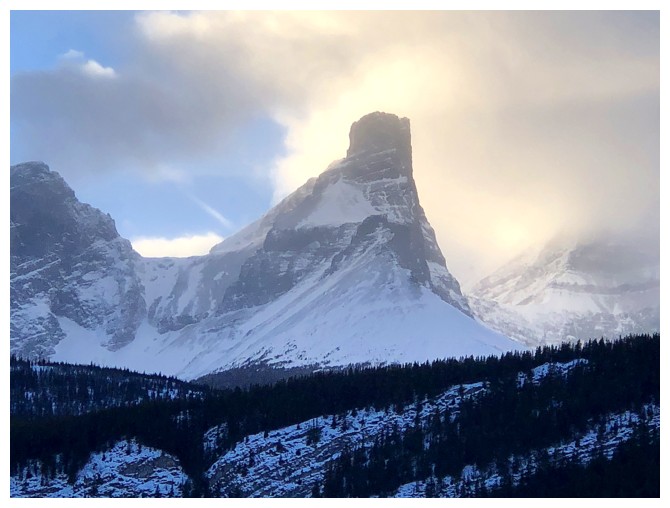 Again, the deep snow made things
more challenging, but I was able to forge a path over to a nearby ridge and
onto much easier terrain.
Again, the deep snow made things
more challenging, but I was able to forge a path over to a nearby ridge and
onto much easier terrain.
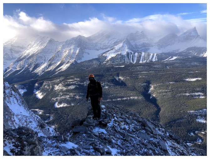
A slog up to
the ridge ensued, followed by a short but steep scramble to the summit. We didn’t
stay long, however. The next highpoint along the ridge to the south looked to
be within striking distance and we set off towards it. This time the snow would
thwart our attempt. Getting to the top would have put us on dangerous snow
slopes. Time was also becoming a concern, as we wanted to be down before darkness.
Instead, we returned to the north summit to take a break and enjoy the
terrific view.
For descent, we
retraced our steps exactly, an easy affair taking less than half our ascent
time.
A more challenging
than expected repeat of a terrific scramble. If the pattern continues, we’ll
return again to this peak in the year 2046!
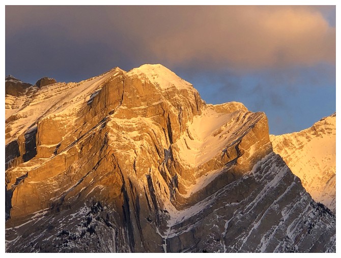
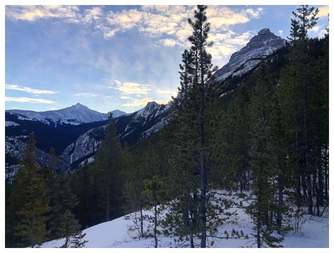
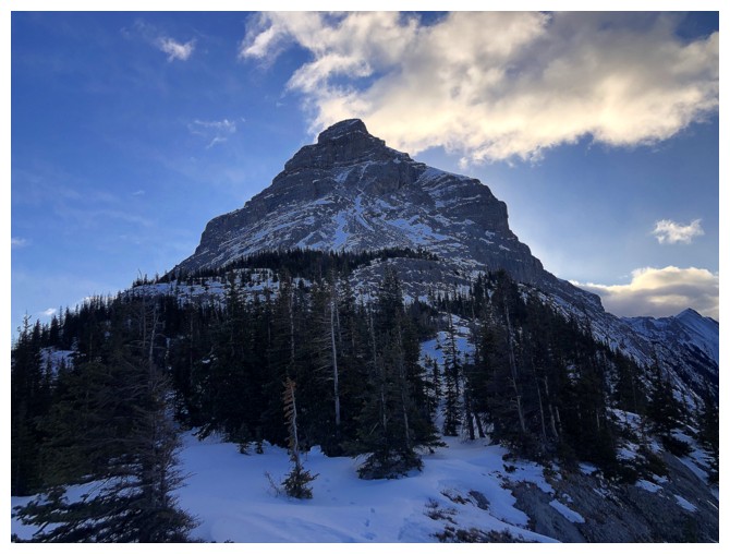
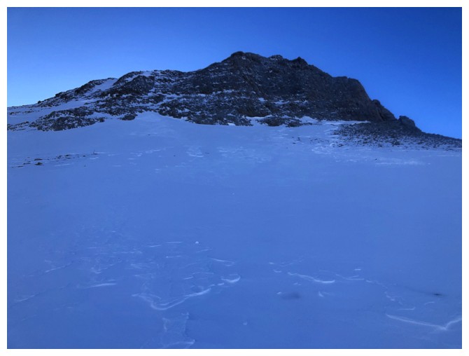
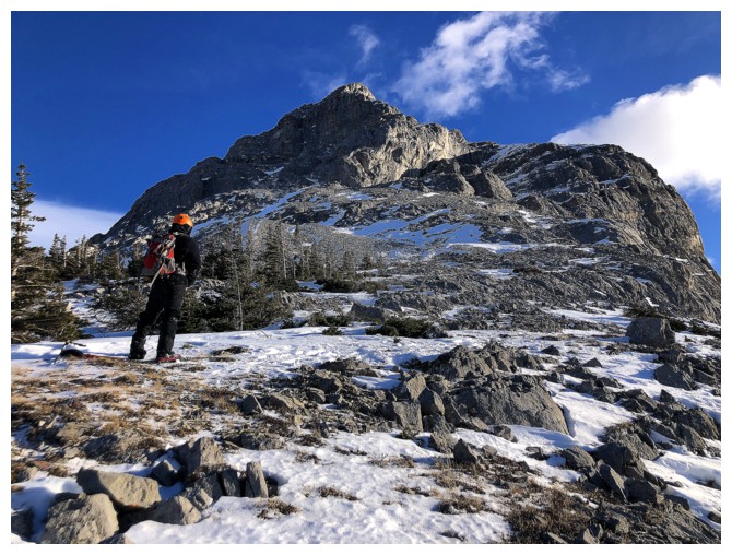
Foreboding view of the initial ascent slopes
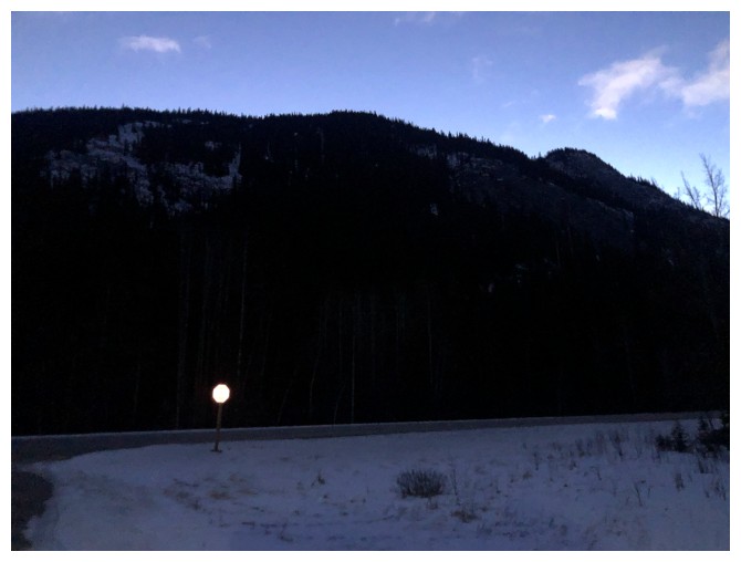
Still in headlamp mode, but only for a short while after
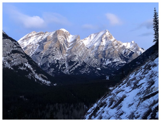
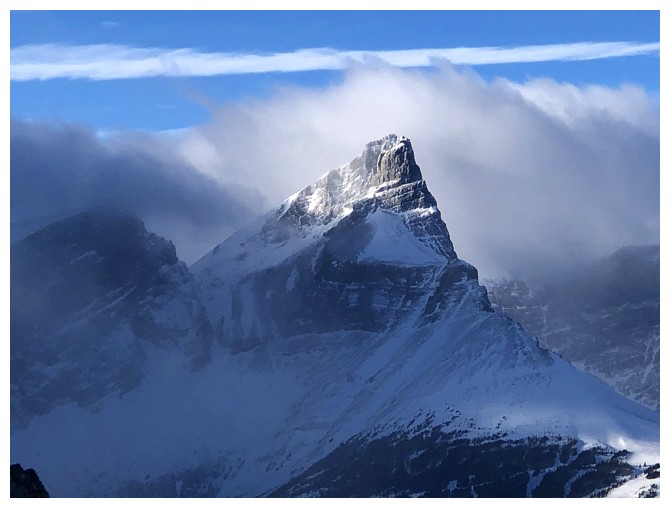
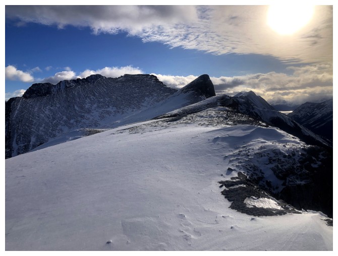
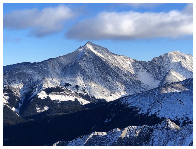
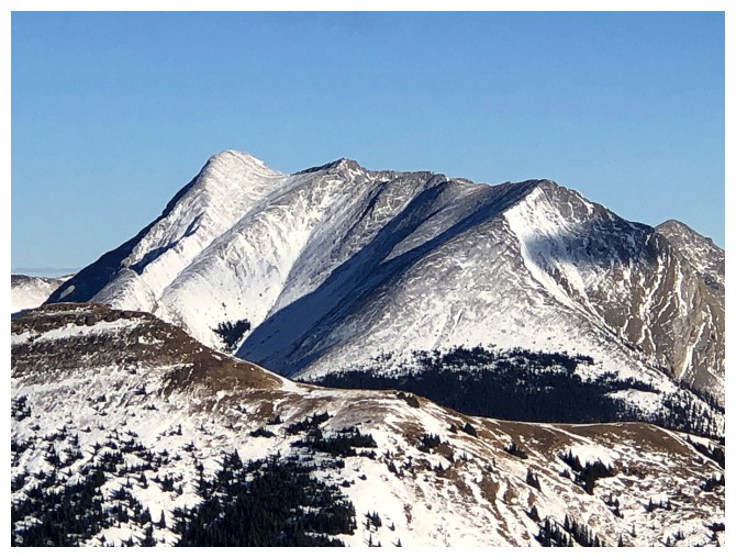
The Kidds - South Kidd on the left and Mount Kidd to the right. Both are on the hit-list for repeat ascents.
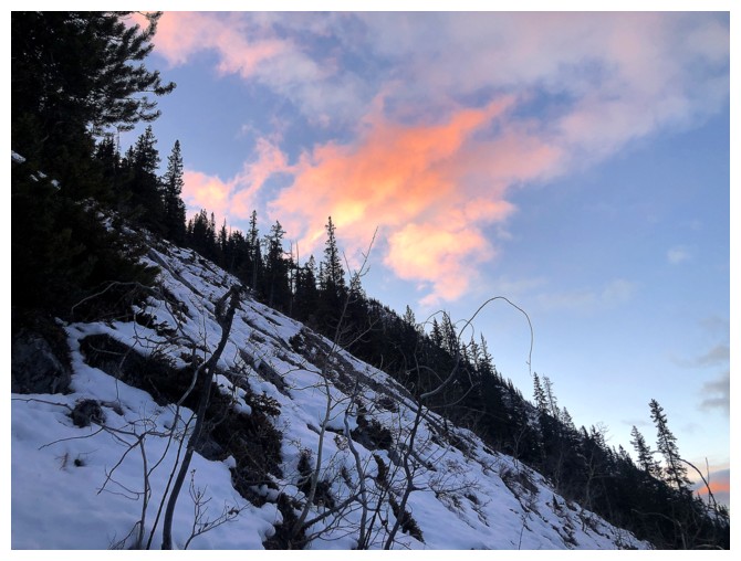
Colours of Sunrise
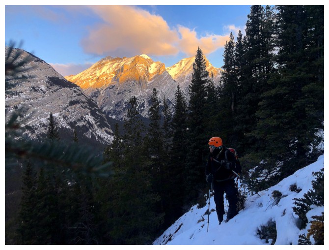
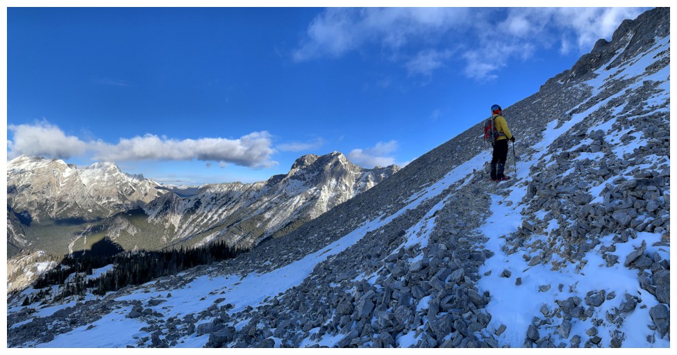
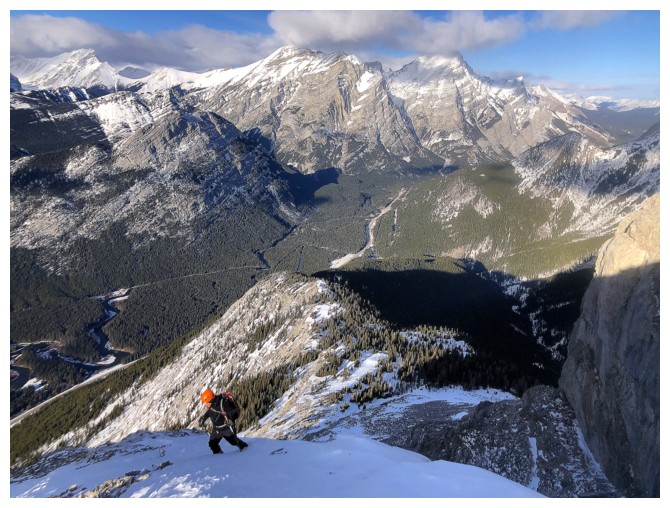
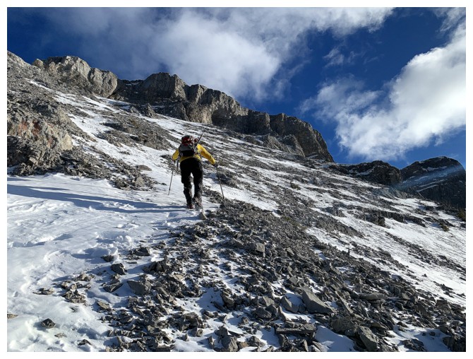
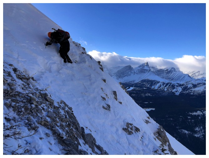
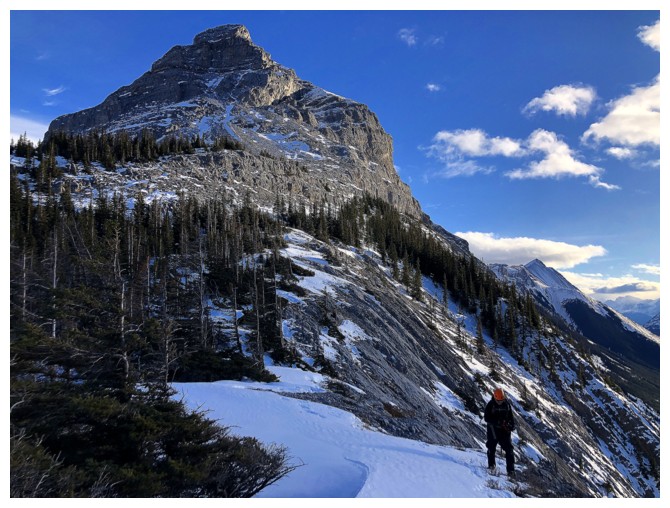
Traversing steep slopes
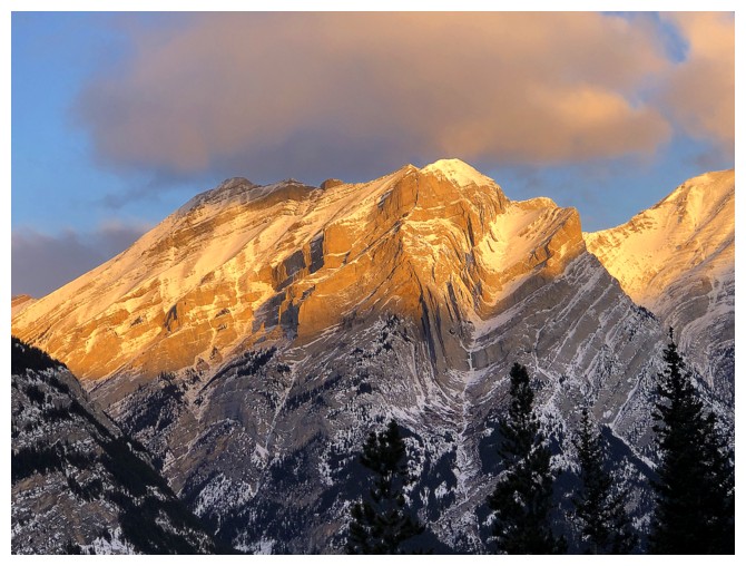
The famous syncline on Kidd South known as "Fold" near the right
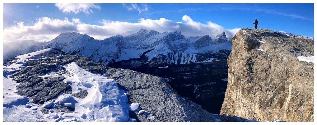
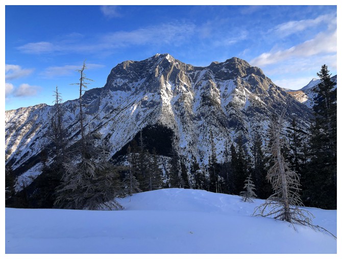
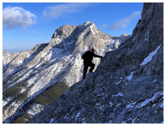
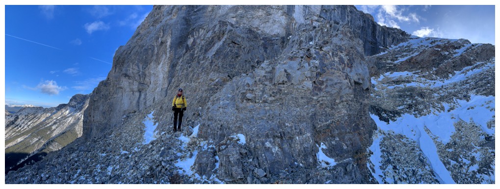
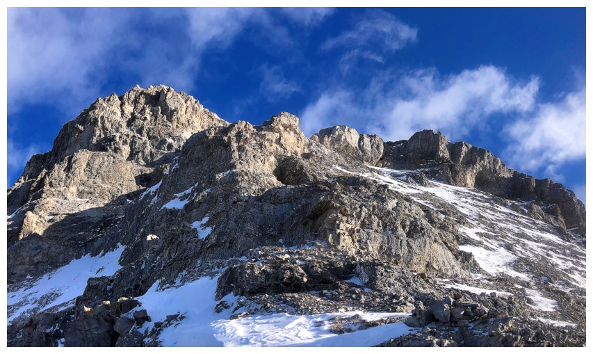
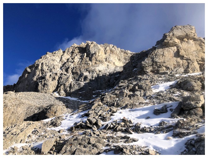
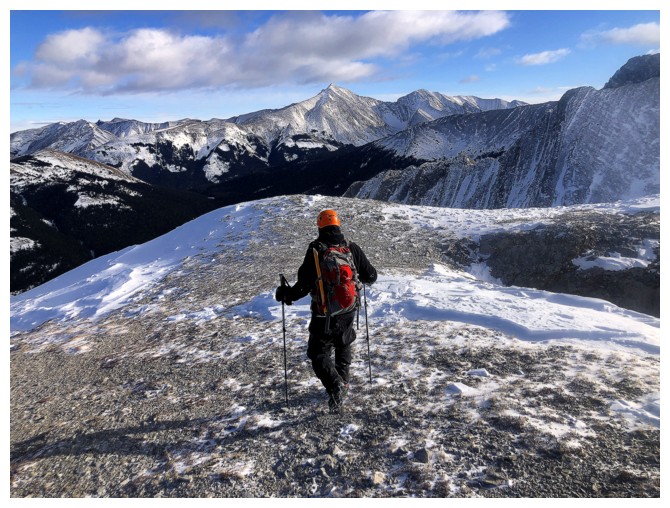
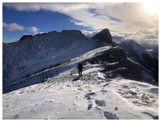
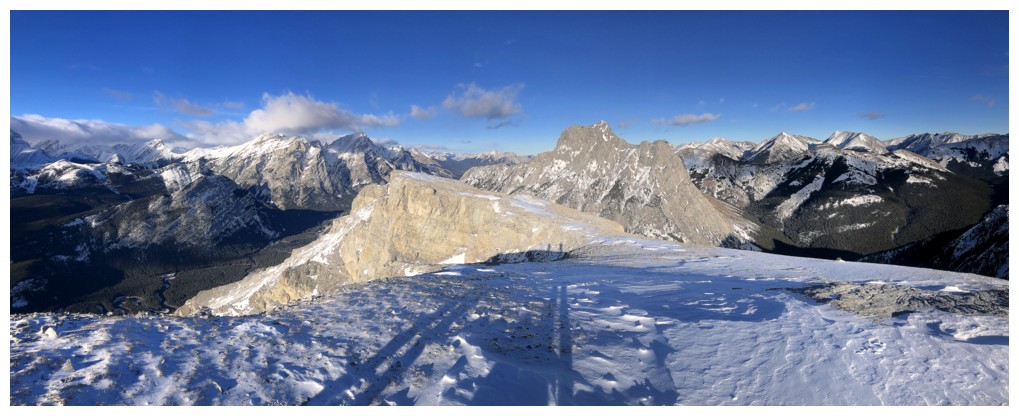
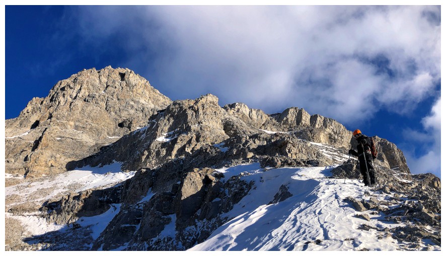
On the ridge, with the first view of the summit block
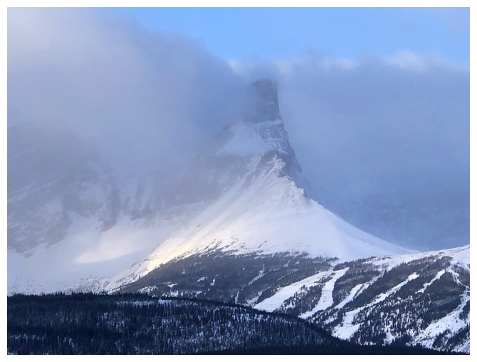
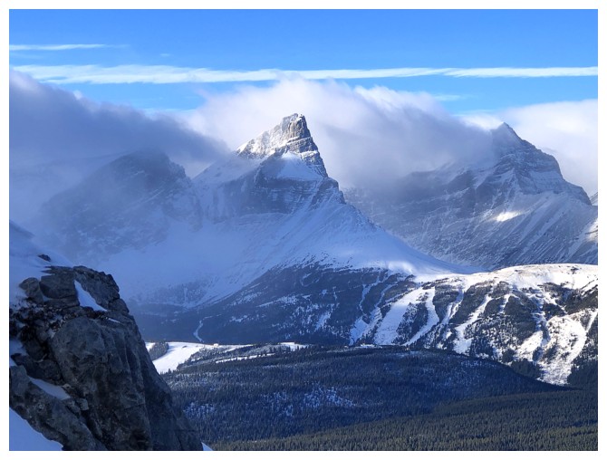
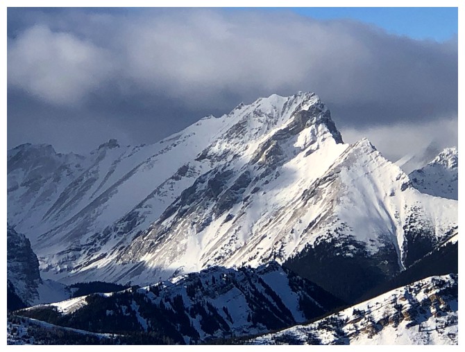
The Fortress experienced cool weather around it all day

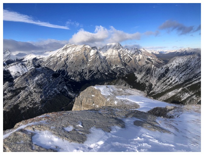
The Lawson, Inflexible, James Walker massif to the west
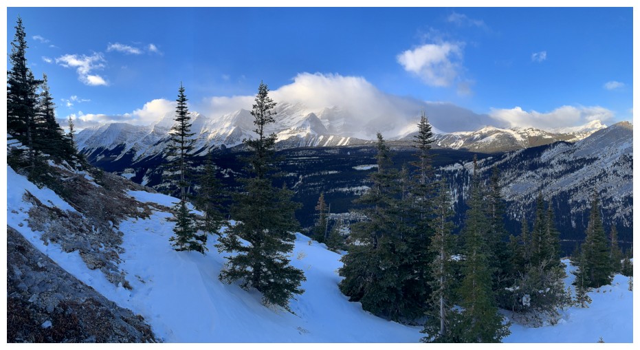
Same as above with a few more peaks
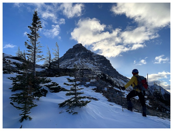
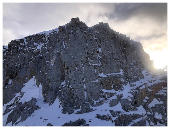
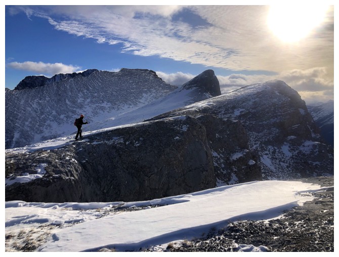
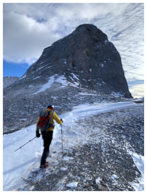
Closing in on the summit block

Same as above
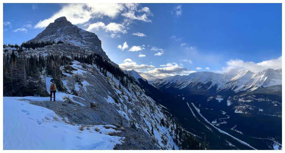
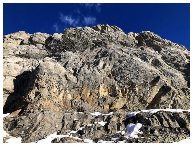
A very aesthetic appearance
The Wedge
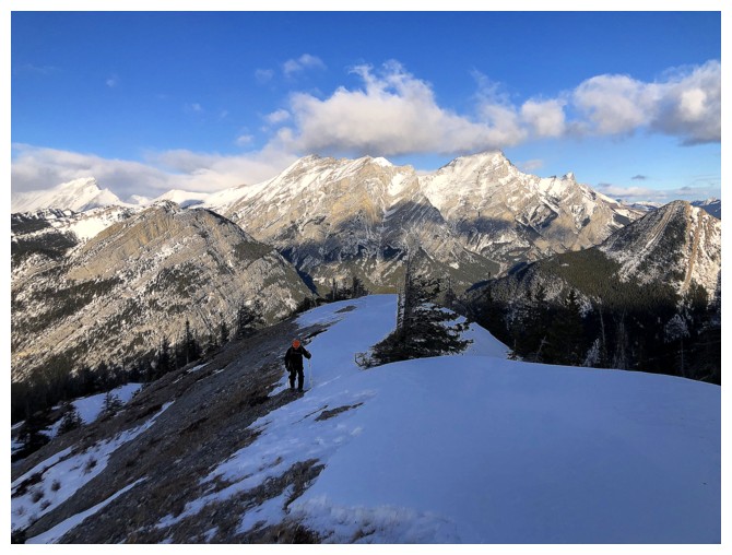
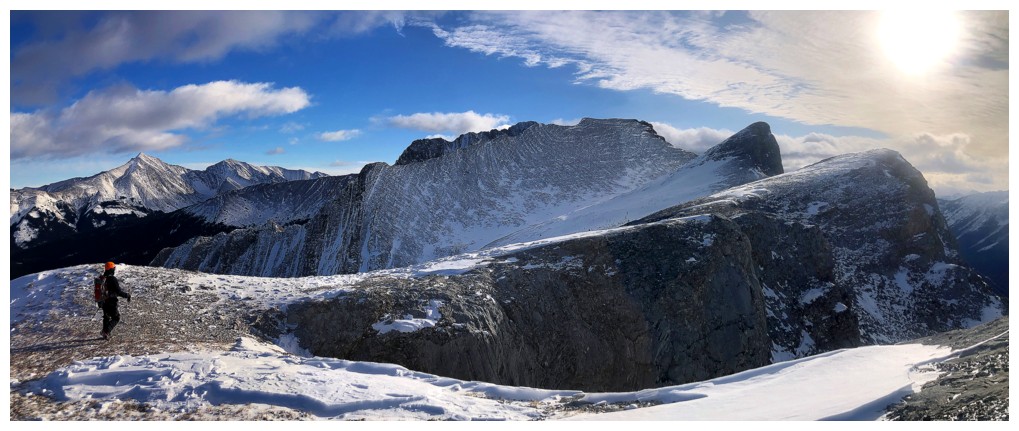
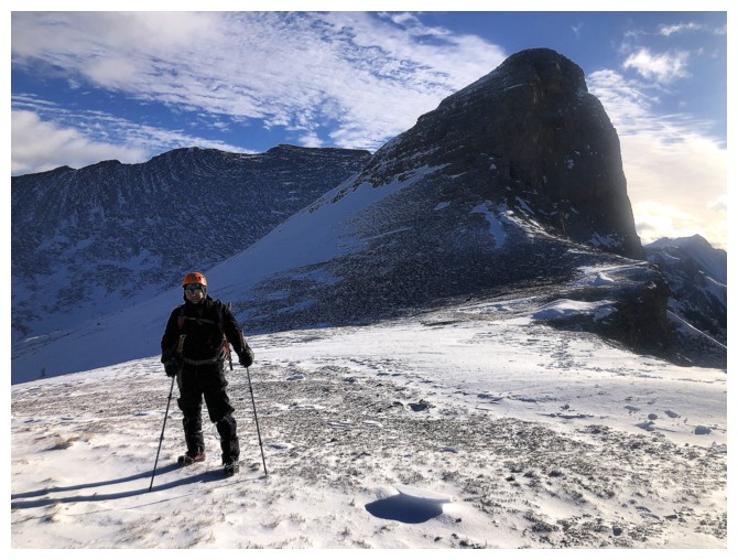
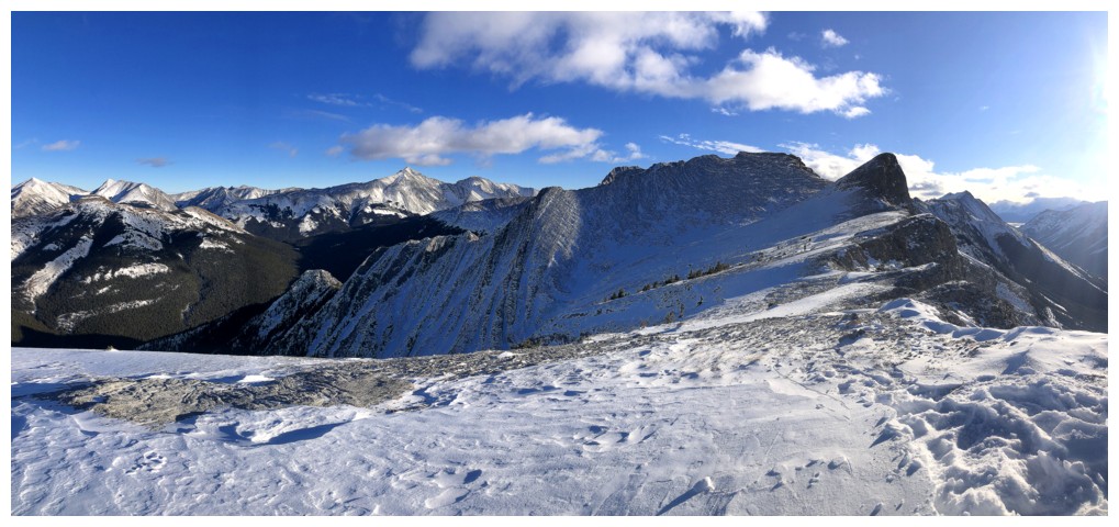
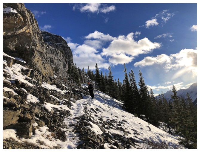
Hiking the enjoyable north ridge
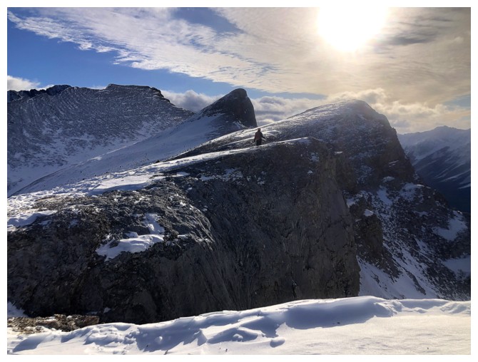
Still closing in!
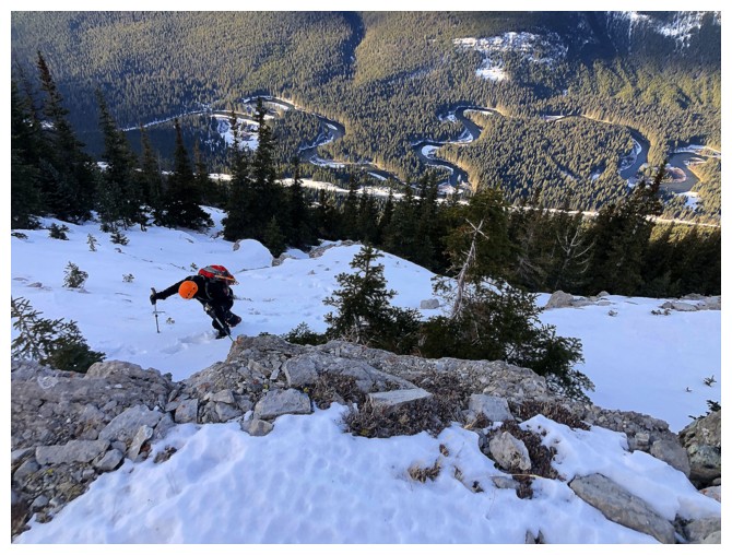
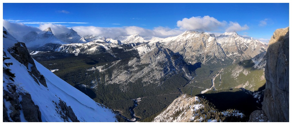
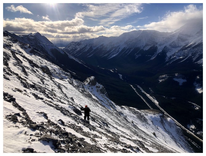
The meandering Kananaskis River far below
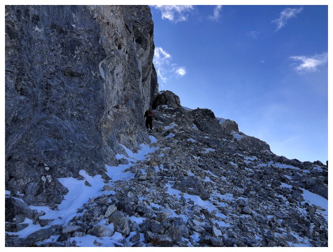
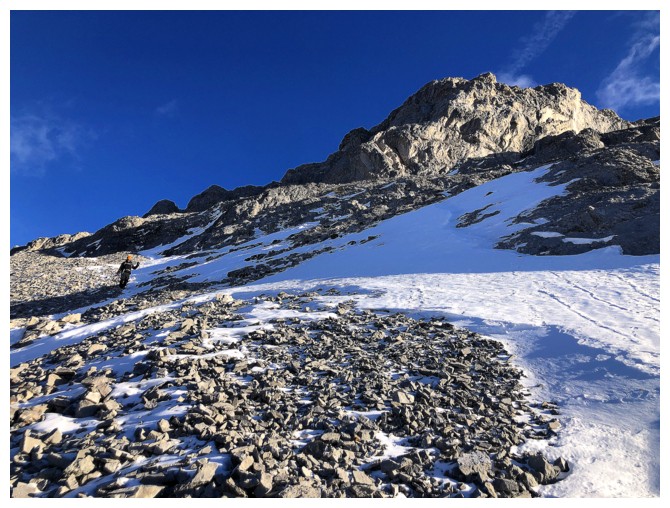
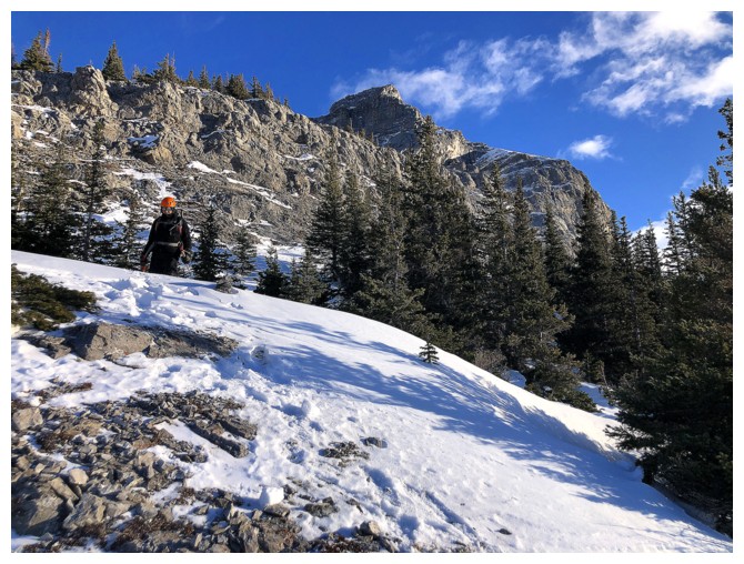
A good trail leads to the base of the summit block, but we lost it in the snow
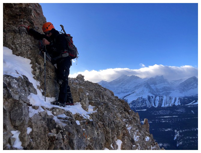
Some steep traversing to get back on track
And back on the trail
At the fork in the path. We took the lower path and had to backtrack.
Mark poses before we go the wrong way
The wrong way. We should have been above, near the vertical rock band.
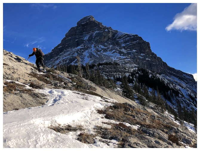
After backtracking and finding the right way, Mark goes up a steep snow
gully. It's much steeper than it appears and he had to back down near
the top.
I hung back to admire the view
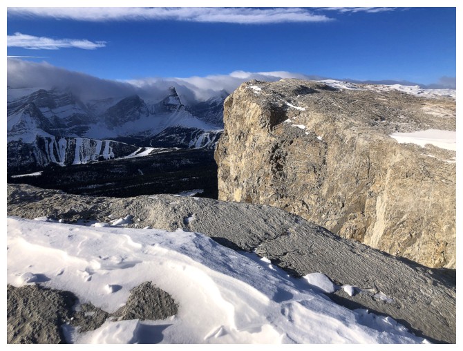
Another terrific view of The Fortress
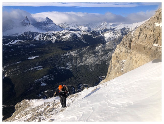
After finding an alternate route we are onto much easier terrain
Heading back up to the ridge
Impressive rock near the ridge
It's a bit of a slog though
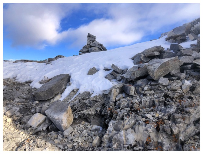
A big cairn is usually a good sign
The short, but steep scramble that leads to the summit
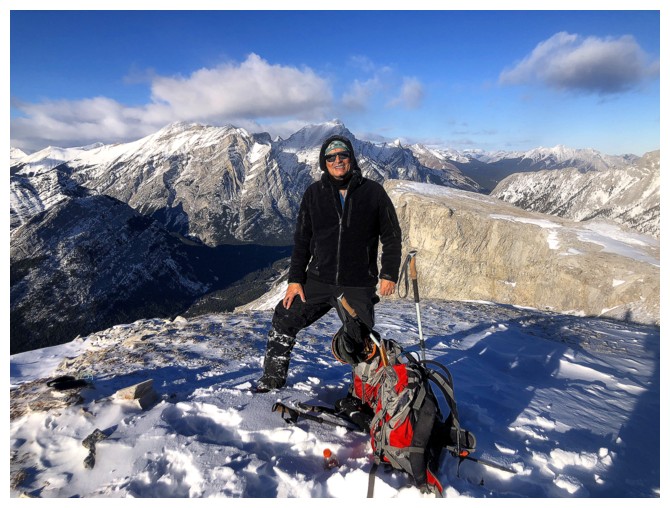
At the top. We tried getting to the bump just right of centre but didn't make it.
View of the Kidds
Leaving for the bump
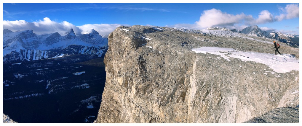
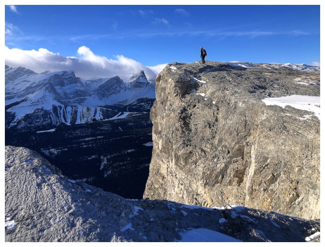
The traverse over to the base was a super scenic and interesting one, with vertical cliffs on the west side
Same as above
The cliffs
Approaching the bump. A circuitous route around the east is required to reach the top.
As far we we got. Further travel would have involved ascending those snow slopes with avalanche risk.
Back on safer terrain
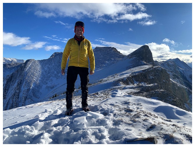
Mark models his new Baerskin hoodie, which he loves. If they have it in bright yellow, I'm getting one too!
That
yellow. I love my Patagonia jacket too, but it's nearing the end of its
life and I cannot find a replacement in that colour anywhere. Doesn't
anyone listened to Young MC anymore?!
The Fortress yet again
Best view of The Wedge all day
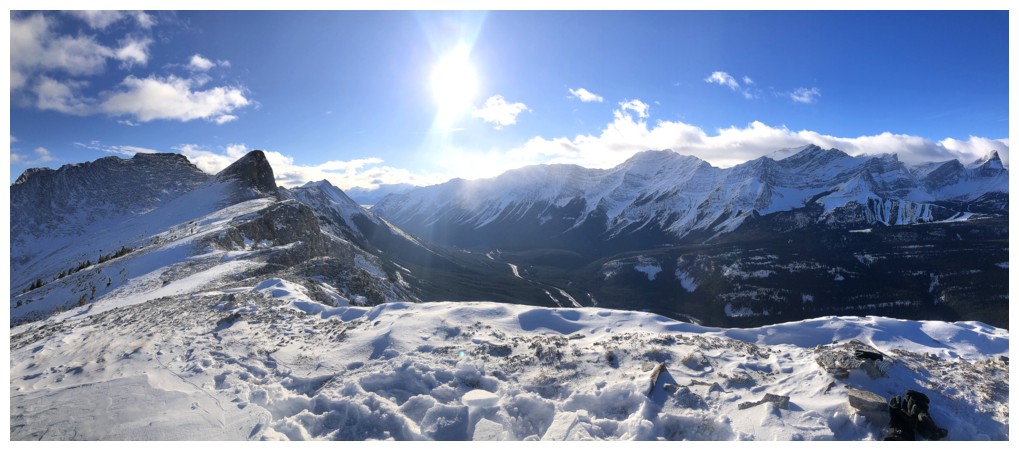
Summit panos

Fisher Peak. The summit is not visible.
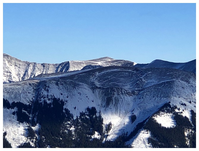
Curious circle of rock missing from the ridge in front
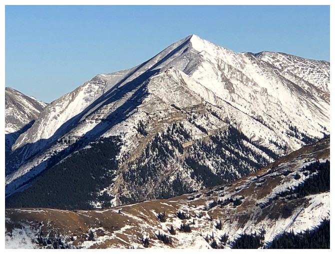
Not sure if this peak has an unofficial name
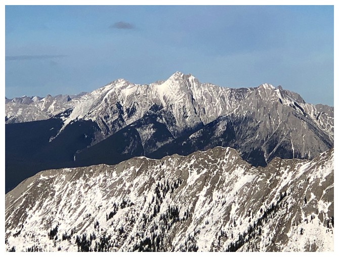
I think this is Perdition Peak, described in the Jones' guidebook
Lorette (left), Skogan (centre), and Mary Barclay
Mount Lillian, above the Galatea Lakes, can be approached from the east or the west (the recommended route)
This minor highpoint on return was one of the scenic highlights of the trip

Downclimbing the short step
Looking for that spot to get past the tricky section
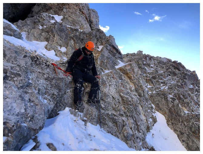
Mark on that tricky part. We took out our ice axes for this part as a slip would have been very bad.
Another short traverse where you wouldn't want to slip
The last step where care was needed
The remainder of the descent was very easy
Still going admire the summit block though
Lots of beautiful and solid rock
Good trail to get us around this rock band
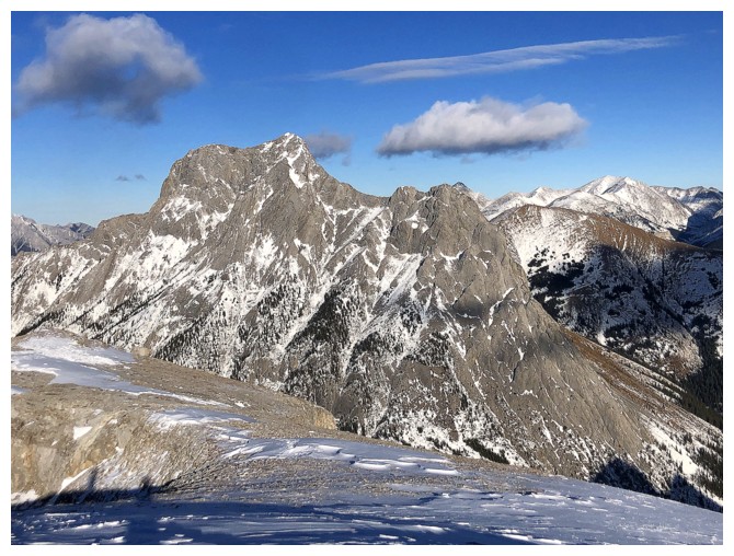
Last look at that magnificent summit block
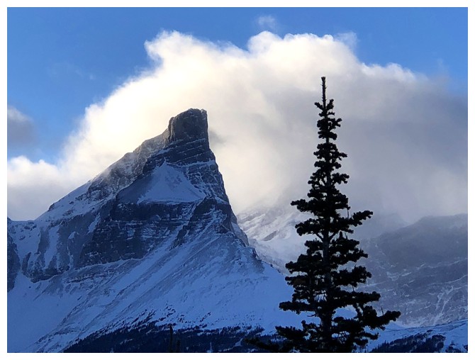
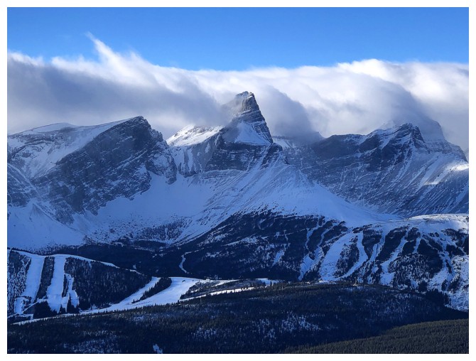
The Fortress is finally cloud-free
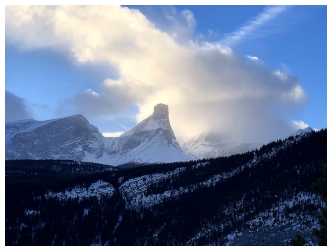
But still looks very cool with the Sun-lit clouds around it

Back at the start of a very rewarding and nostalgic repeat ascent
The End
LOG