Mount Pengelly
June 29,
2019
Mountain
height: 2586 m
Elevation
gain: 1149 m
Ascent
time: 4 hours
Descent
time: 3.5 hours
Scrambling with Raff.
 Dave McMurray astutely pointed out to me that
Rick Collier’s description of his ascent of the north ridge of Mount Pengelly
probably scared off most from going anywhere near this mountain. When a man of
Mr. Collier’s incomparable scrambling abilities states, “I would have preferred
a partner and a rope”, you know you are dealing with very serious terrain, well
beyond the ability of your average scrambler.
Dave McMurray astutely pointed out to me that
Rick Collier’s description of his ascent of the north ridge of Mount Pengelly
probably scared off most from going anywhere near this mountain. When a man of
Mr. Collier’s incomparable scrambling abilities states, “I would have preferred
a partner and a rope”, you know you are dealing with very serious terrain, well
beyond the ability of your average scrambler.
However, Collier’s description was not about to
deter the intrepid Lethbridge duo of Dave McMurray and Brad Wolcott. Having
ascended Pengelly’s northern neighbour, Mount McGladrey,
three weeks earlier,
Dave and Brad set out to see if the southeast side of Pengelly would
yield. And it did! Not only did they get to the top, but they found a
route
that was mostly steep hiking, with a few sections of moderate scrambling.
And so, three days after their ascent and
armed with Dave’s excellent route description, Raff and I
set off to repeat the trip. It unfolded exactly as Dave described: a pleasant,
scenic bike approach, an equally pleasant hike to the base of the mountain; a
much steeper and infinitely more scenic hike up the initial grassy slopes, bit
of a slog up to the summit ridge and then a short but exciting finish to a
splendid summit and view.
 The weather, more or less, cooperated, though
we were denied completely clear skies at the summit. Still, it was a
significant improvement from my own McGladrey trip in 2009. We were both
impressed by the summit view, even though Pengelly is a relatively low mountain
in comparison to its neighbours – McGladrey, Darrah, and lots of unnamed stuff.
The weather, more or less, cooperated, though
we were denied completely clear skies at the summit. Still, it was a
significant improvement from my own McGladrey trip in 2009. We were both
impressed by the summit view, even though Pengelly is a relatively low mountain
in comparison to its neighbours – McGladrey, Darrah, and lots of unnamed stuff.
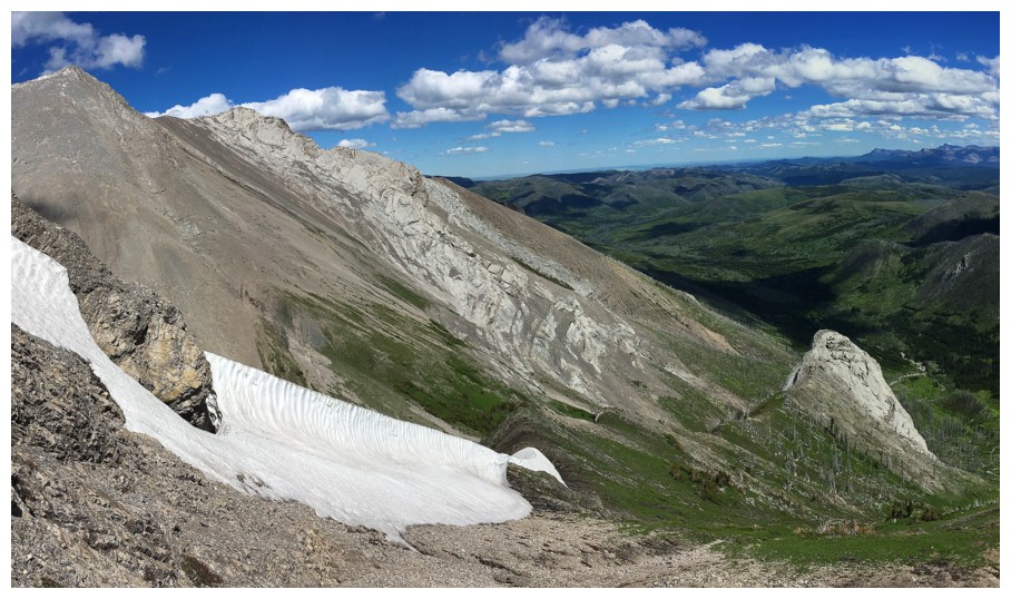
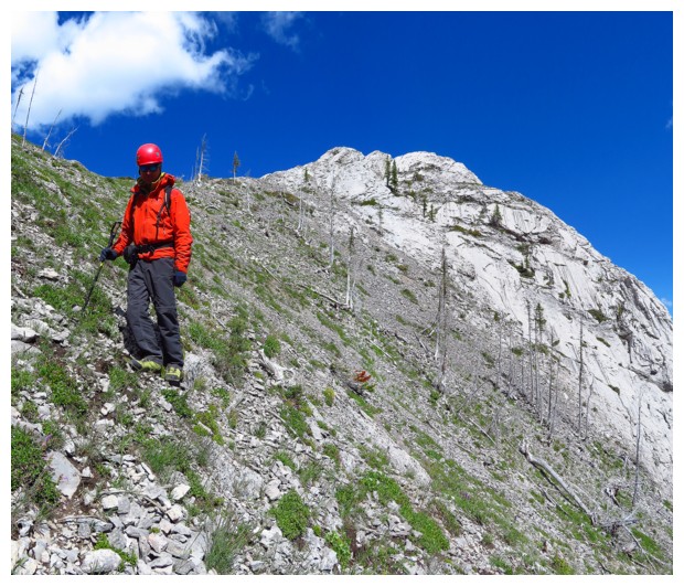
The best part of the trip for me was the middle
part of the descent. The weather started to clear, highlighting the beautiful contrast
of a few remaining and resilient snow patches, green grassy slopes, the blue
sky and light grey rock. To extend this part of the day, we decided to ascend
one of the two huge pinnacles, as seen on ascent – a short but fairly exposed
affair.
The last part of the descent didn’t exactly go
as planned. Although my memory of McGladrey was pretty hazy, I had convinced
myself that I had approached the mountain via a different route that might be
easier and more scenic. I then convinced Raff to give that route a go – it
didn’t! We ended up in some fairly serious bush and eventually traversed back
to Dave’s track and the excellent trail that DOES provide easy travel. An
exhilarating 20 minute bike ride back more than made up for those unpleasantries.
An excellent day on, perhaps a soon-to-be less
obscure mountain. Huge shout-out and thanks to Dave and Brad for paving the
way.
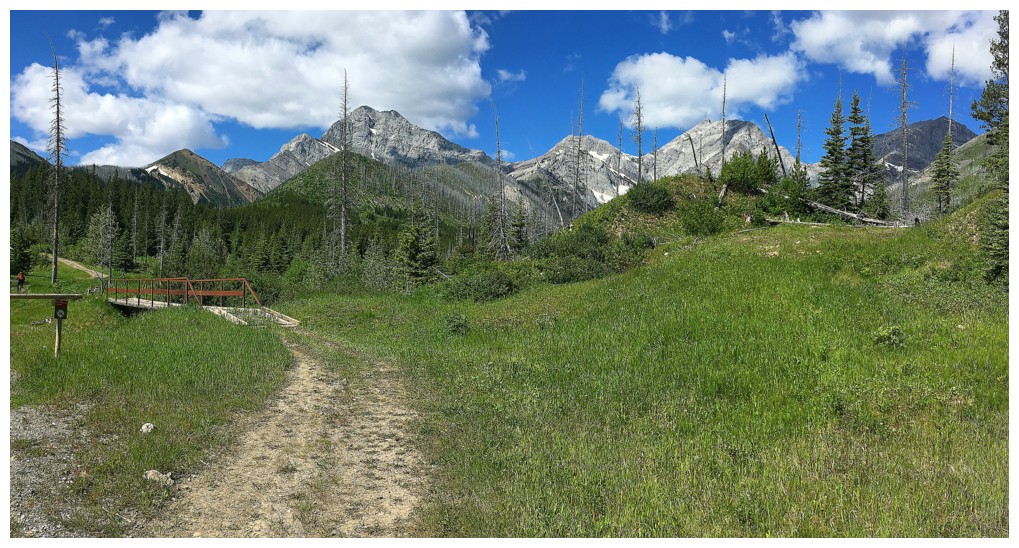
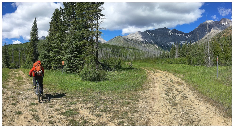
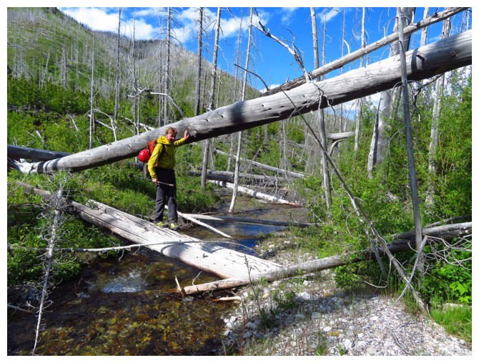
Approaching the end of the biking. The approach on foot starts right after the bridge.
On the wide trail through the forest. Pengelly is just right of centre.
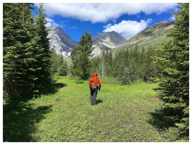
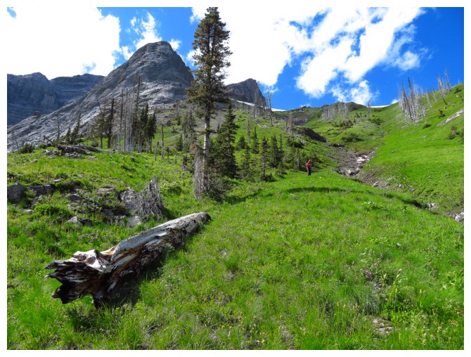
Raff sizes up the rest of the approach
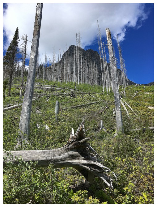
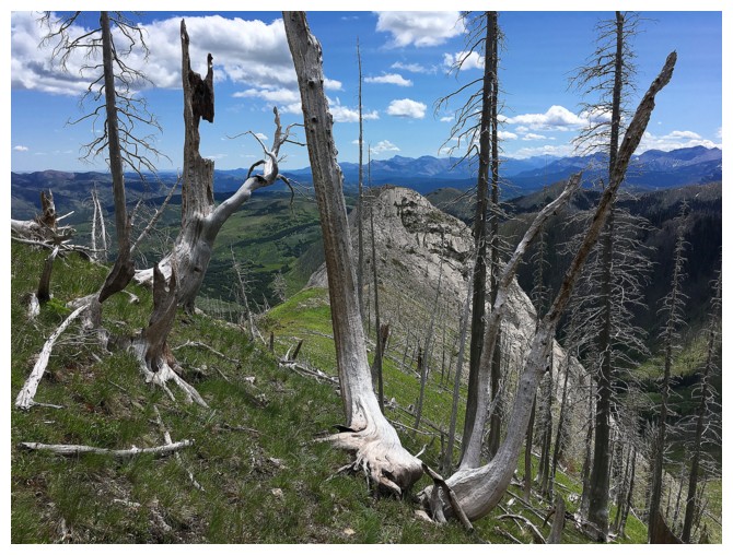
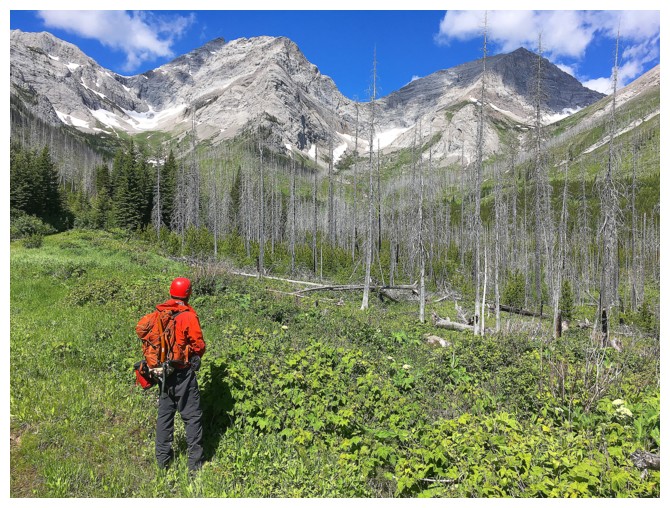
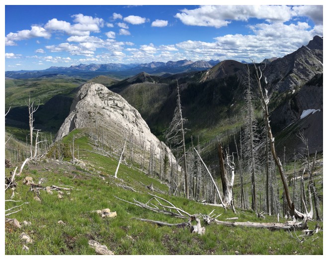
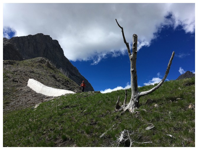
Still lots of remnants from several old forest fires
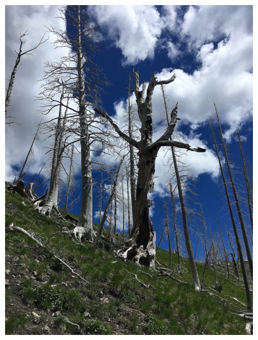
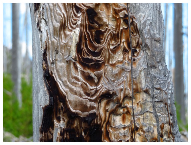
The tree was almost completely hollowed out
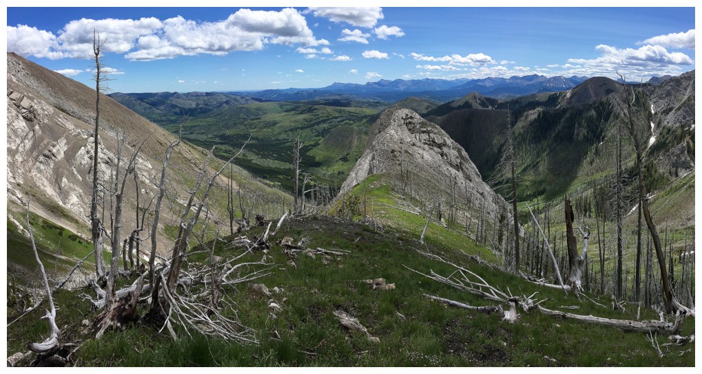
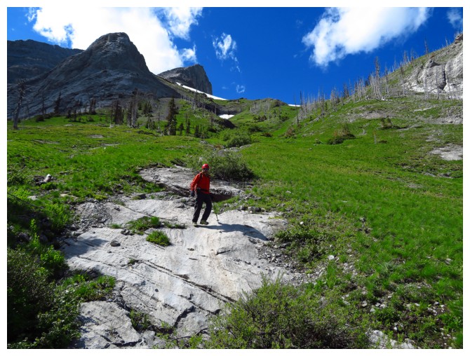
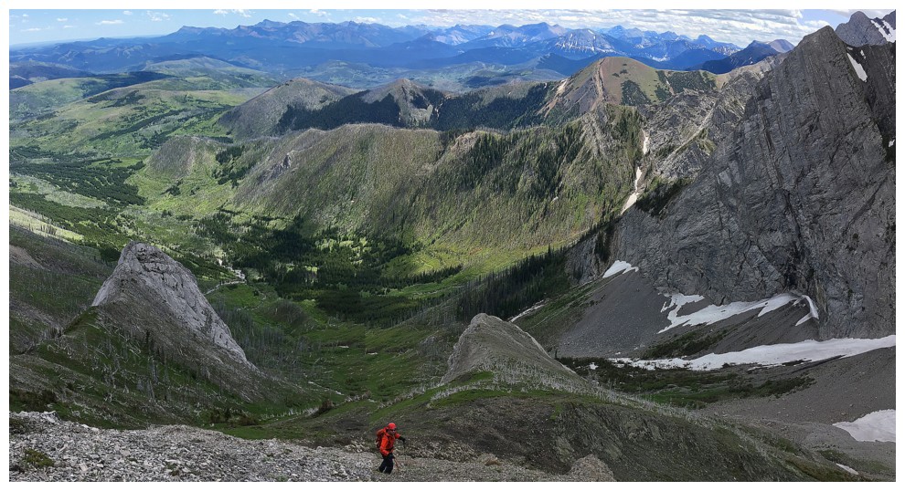
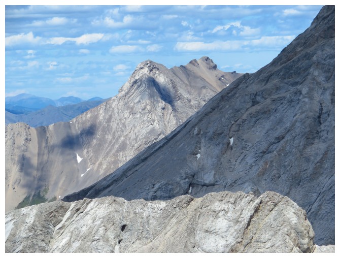
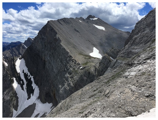
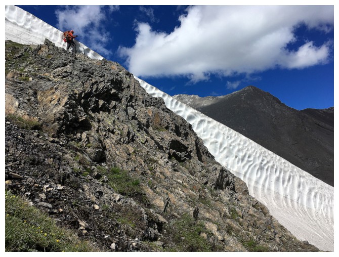
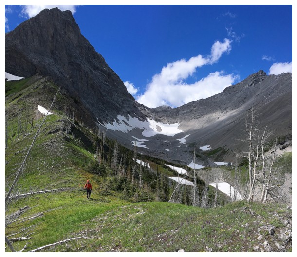
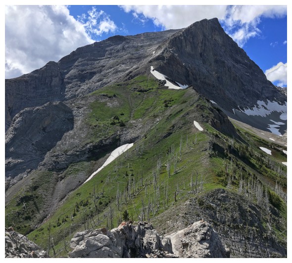
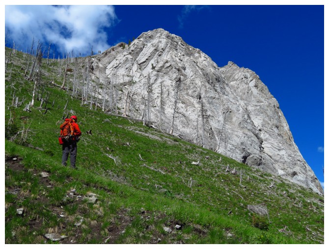
On the southeast ridge and looking back to the route we just came up
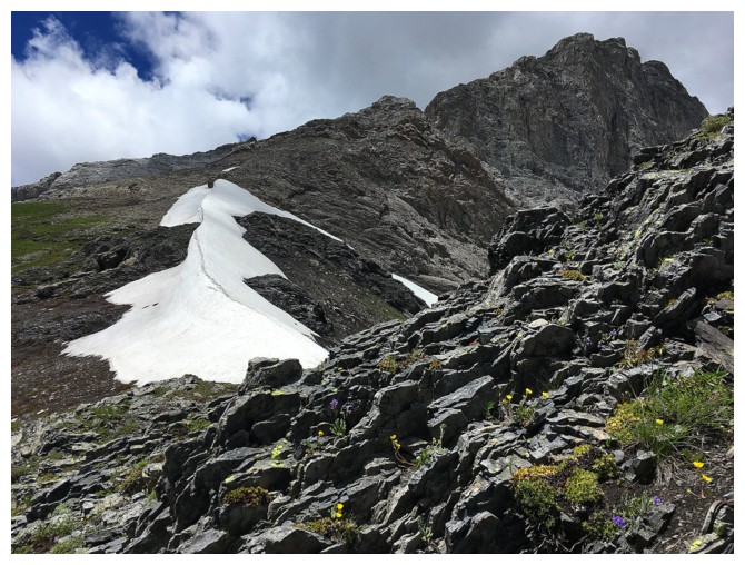
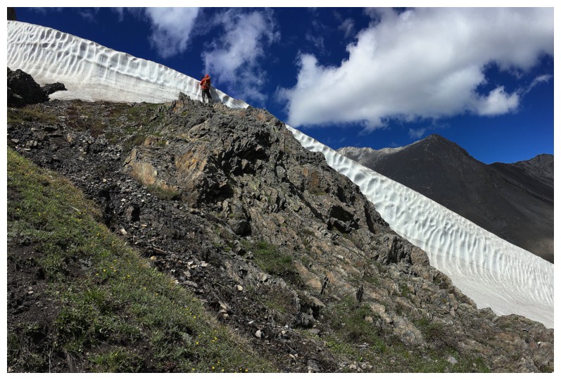
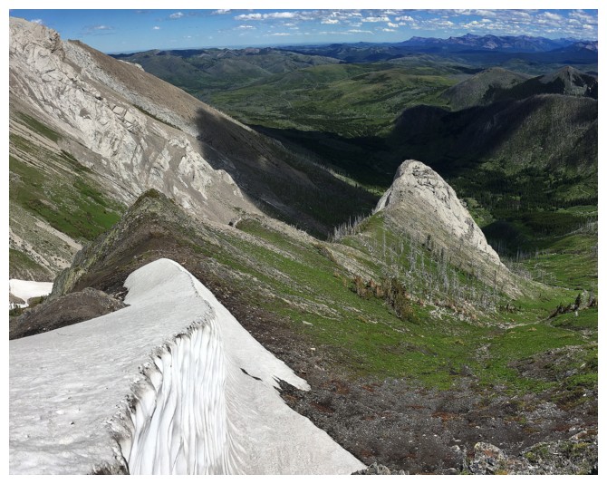
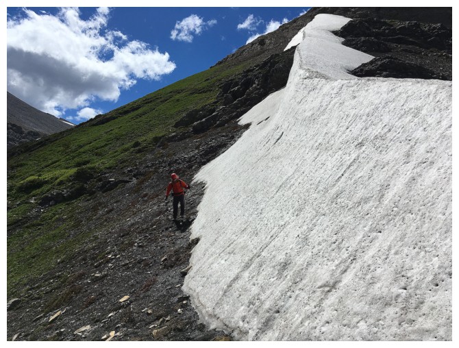
This solitary snow patch was one of the highlights of the trip
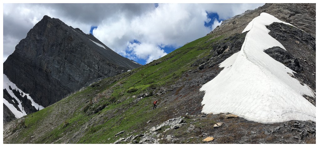
Raff approaches the snow patch
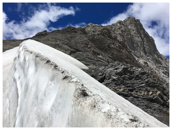
The snow here was rock-hard
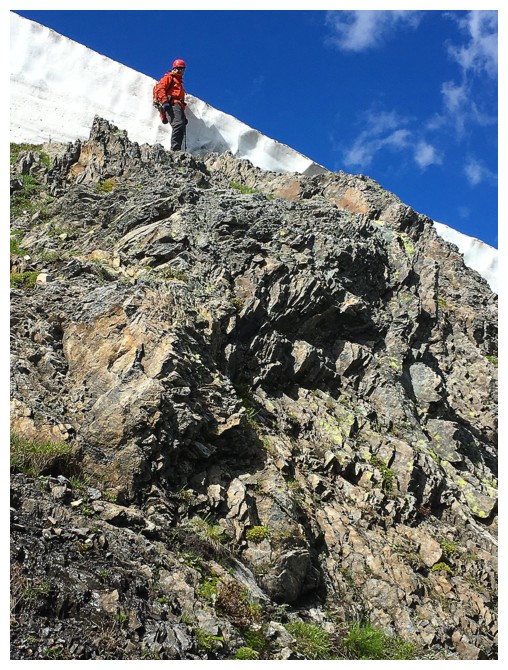
Continuing the ascent
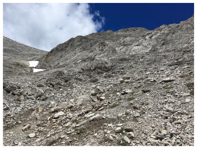
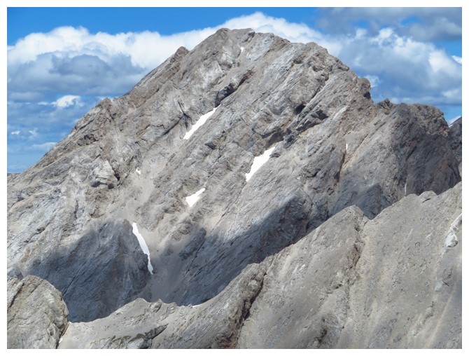
Typical terrain on the upper part of Pengelly
There's the summit
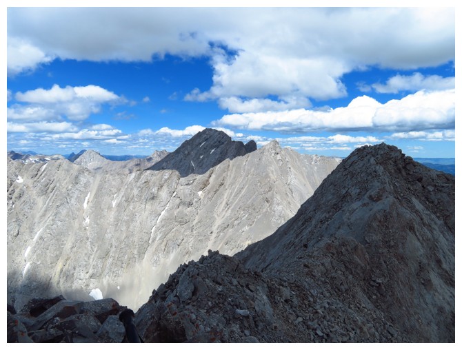
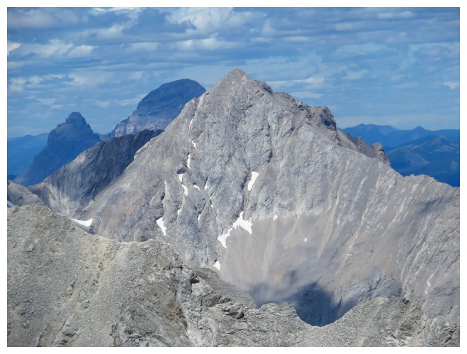
On the summit ridge. The unnamed summit to the north (in shadow) is higher than everything in the area except Ptolemy,
yet McGladrey (in the Sun) and Pengelly both get named? Go figure!
Mount Coulthard
Andy Good
The unnamed summit again
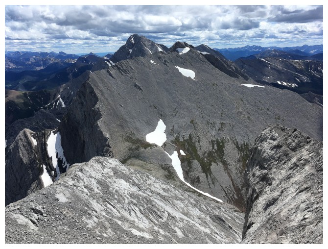
Looking south towards Darrah
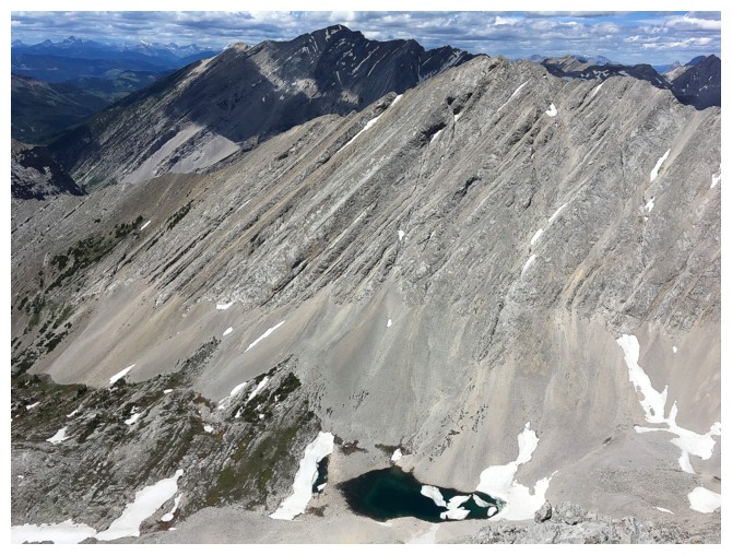
A tarn in the valley on the north side
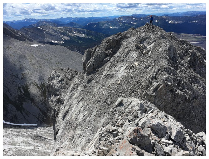
Raff at the true summit, while I head over to a slightly lower summit to the north
Same as above
Would have been nice to attempt this higher summit between Pengelly and Darrah, but we were both too tired
Heading down to the rock outcrop on the left
But we have to check out the snow patch again
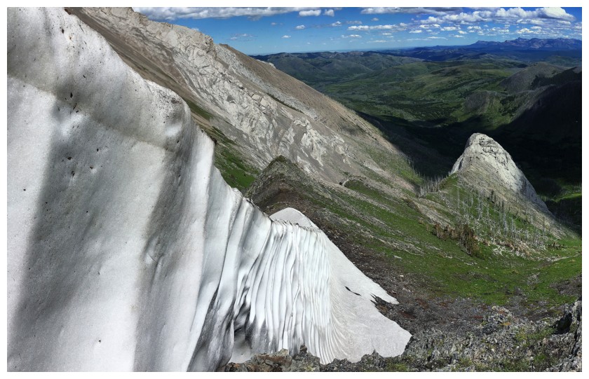
It's more of a snow wall at this point
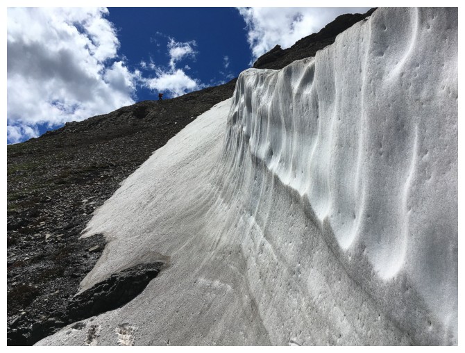
Raff heads to the wall
Raff explores this very cool little feature
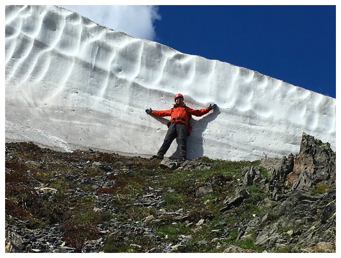
Good size comparsion
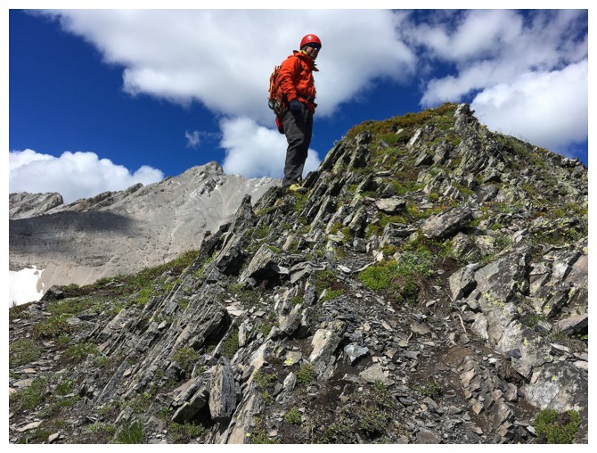
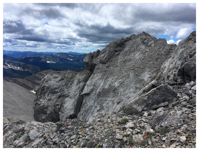
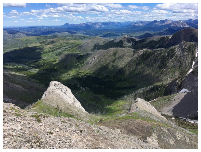
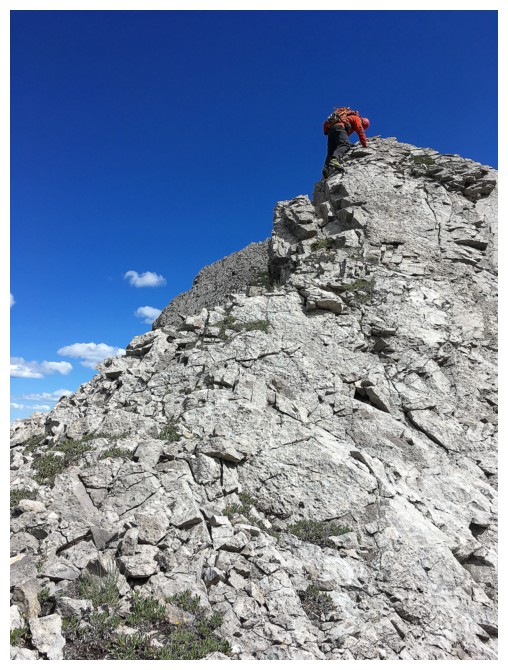
Another minor little highpoint en route to the outcrop
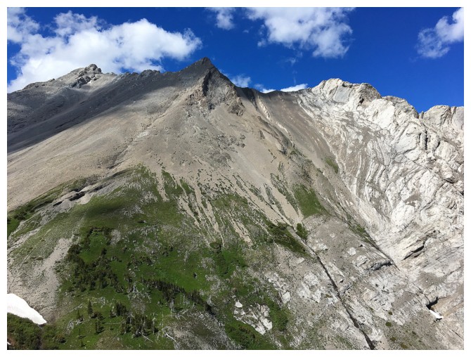
The outcrop looks pretty easy from here
Raff at the saddle
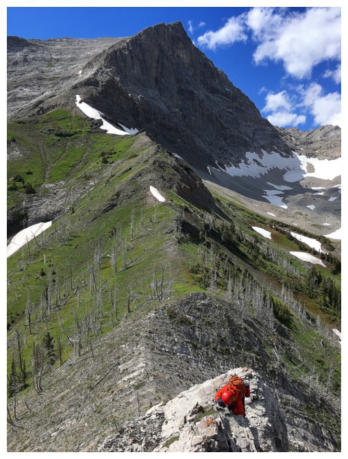
Raff scrambles, exposed terrain to the summit
McGladrey looks so peaceful and easy from here, but it's long, tedious, steep, rubble slog
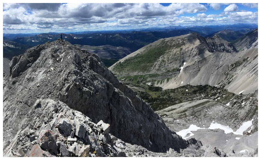
Looking back up at Pengelly's southeast ridge/face
Raff downclimbs. There's an exhilarating free fall to the left if you slip!
Onto easier terrain
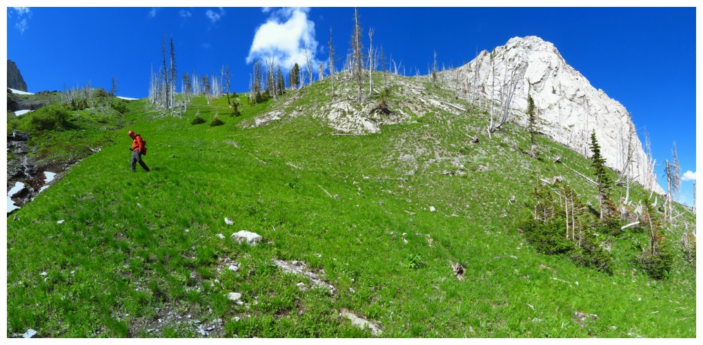
The grass was super green, with the Sun out
Looking back at the outcrop
Losing elevation on awesome terrain
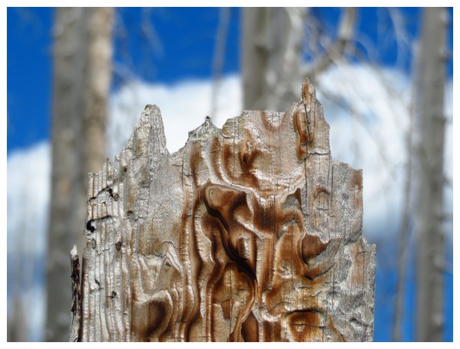
One of an infinite number of burned out trees
An exciting part of our misguided (an highly unrecommended) descent route
The End