Pincher Ridge V
August 13, 2018
Mountain
height: 2423 m
Elevation gain: 880 m
Ascent
time: 2:20
Descent
time: ??
Solo
scramble.
I cannot
buy a good weather day on the south side of Pincher Ridge!! A week and day
after finding an alternate descent (and therefore also an ascent route), I
returned to check out the “Easy” route up I had seen while descending.
Yet again,
a clear, sunny day was forecast and yet again no such weather materialized.
This one was even worse than August 5! Halfway up the mountain the clouds and
mist dropped to a level where I couldn’t even see the easy route up I was
looking for. Luckily, as I approached the area where I thought the route was,
the cloud lifted enough for me to pick it out – and easy it was!
Once on
the ridge, I left the ridge. Why? Because the lichen covered rock below the
east side of the ridge was simply stunning. When the exposure and seriousness
of staying below the ridge increased I scrambled up to the ridge and followed
it easily to the summit – where there was absolutely no view at all! (and yes,
my whiny, scowling demeanor came out in full force here!)
Given the
non-existent views, continuing to the Centre Peak seemed to be a waste of time
and therefore I retreated down the mountain the same way I came up. The weather
did clear up a little on the way down, but it was too little, too late. And, of
course, the forest fire smoke was so thick during most of August that even if
the clouds had cleared I may still have been denied a good view. Although the
forest fire smoke of the summer of 2017was terrible, 2018 put it to shame!
A great
route up a spectacular mountain, but will the Sun and smoke–free skies ever
return to us?!
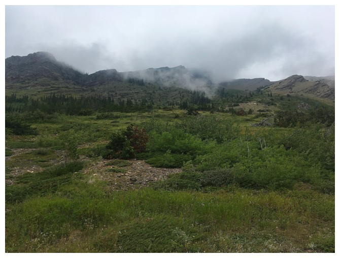 Cloudy again?! Oh my!
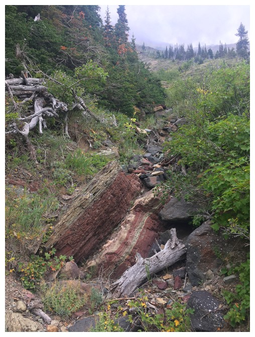
This drainage to the east of the ascent route was fun to ascend
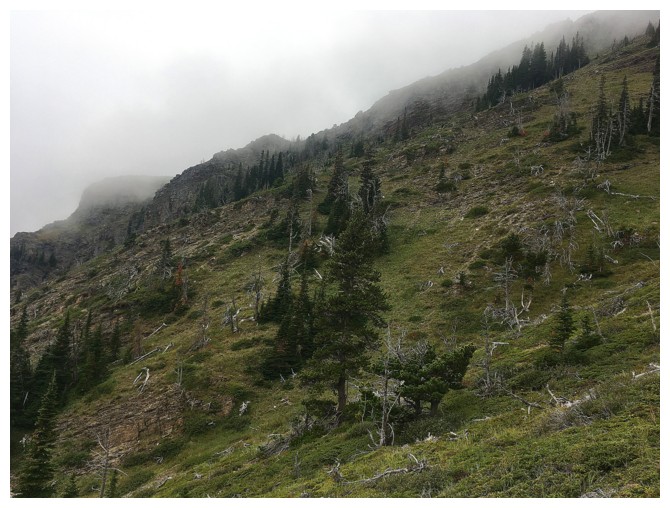
Looking for the easy route to the ridge
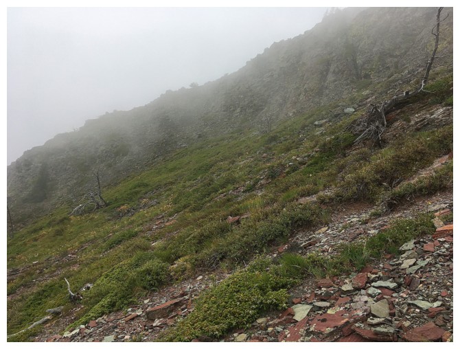
There it is
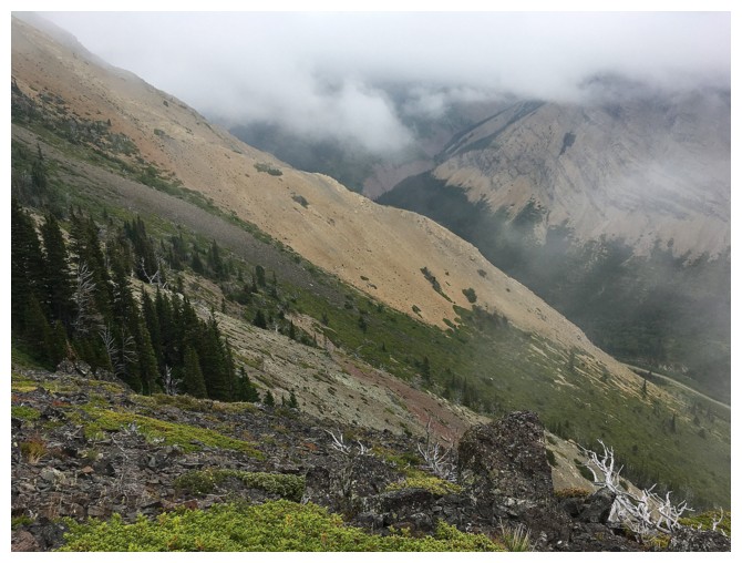
Looking down the ascent route
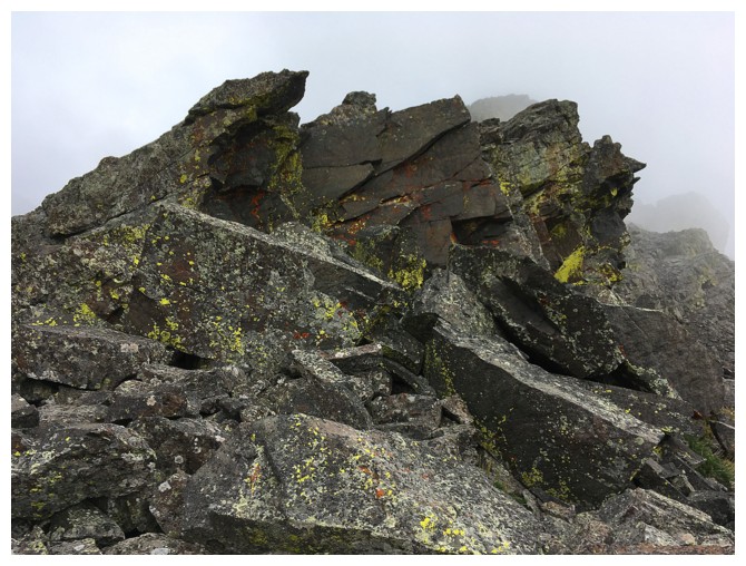
On the ridge
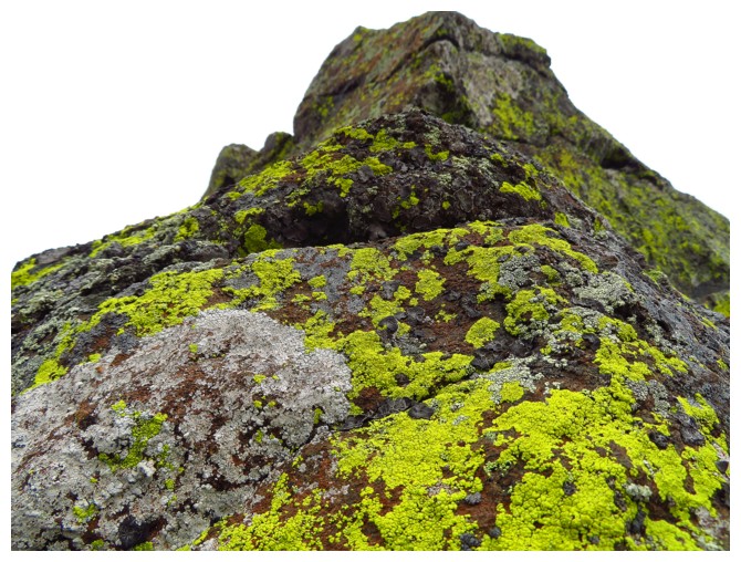
If I can't write "Here Comes the Sun", at least we can go with, "Here Comes the Lichen"
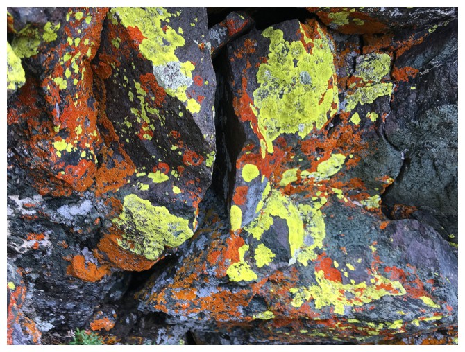
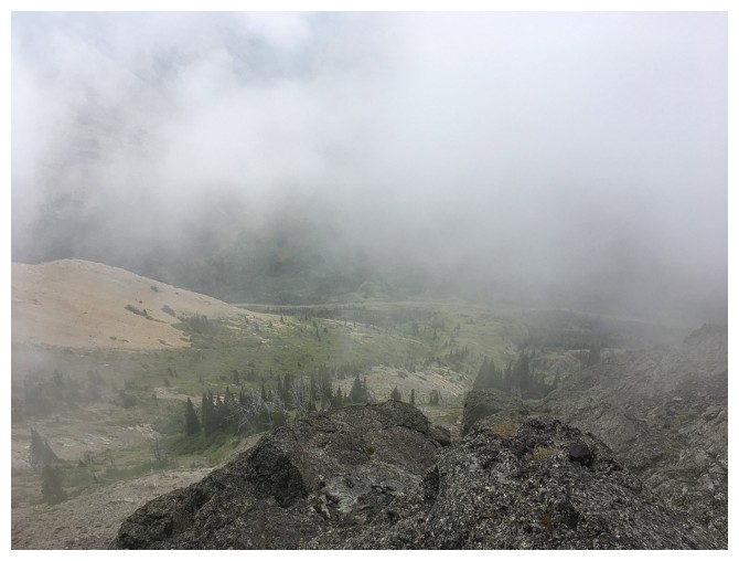
More low-lying clouds blanket the area
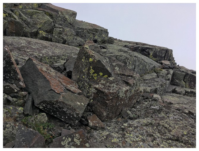
Much of the terrain on the right side of the ridge was super fun to ascend
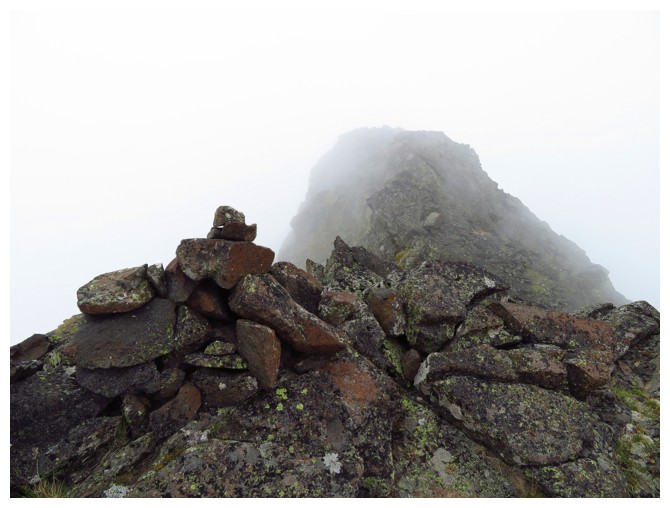
Summit view to the east. At least I can see the cairn!
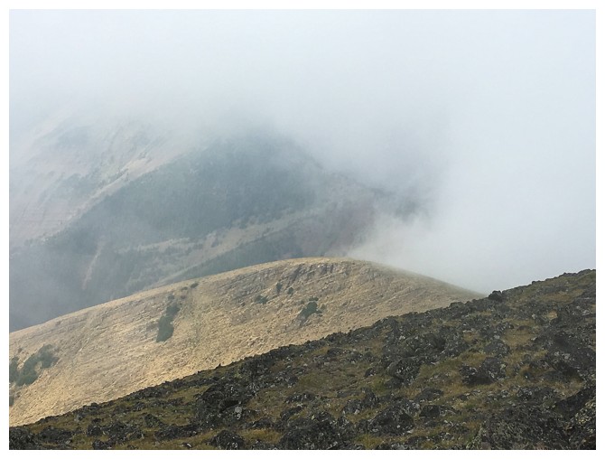
Summit view to the west. At least I can see a few rocks!
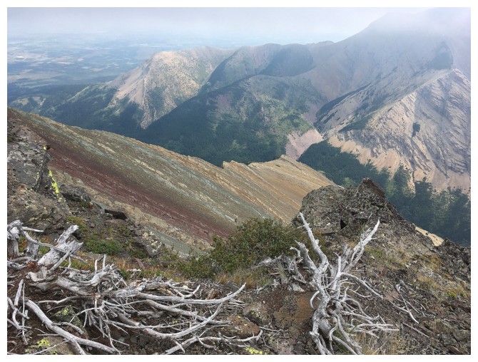
On descent the weather improves
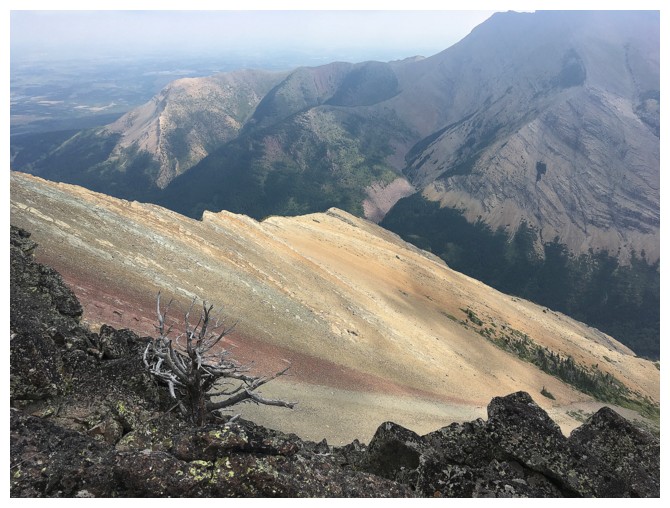
It that the Sun on the slope below? Tough call, it's been so long since anyone has seen it!
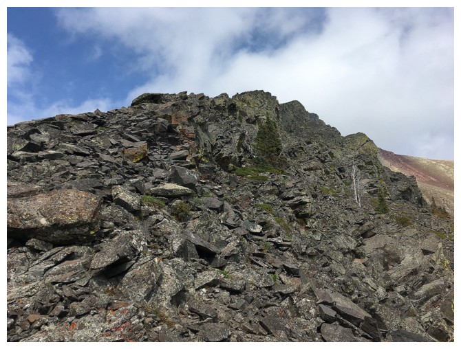
Looking up the ascent ridge. I didn't have the energy or motivation to trudge back up.
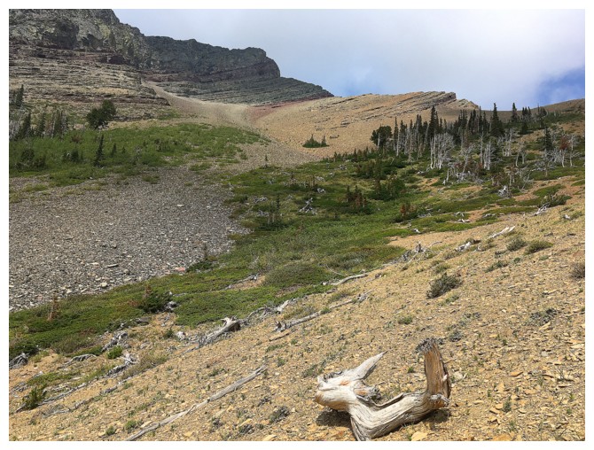
Almost down. The ascent route swings way over to the left.
Click HERE to see Part III of the trilogy
The End