Prairie
Bluff VI
August 4,
2018
Mountain
height: 2258 m
Elevation gain: 720 m
Ascent
time: 1:40
Descent
time: 3:05
Solo
scramble.
 Having
ascended Prairie Bluff via a few different routes (I, II, III, V), it was time to try another. I
first saw this loop route on Bob
Spirko’s website and then on Vern Dewit’s.
A counterclockwise direction seemed sensible (difficult up, easy down) and so
off I went.
Having
ascended Prairie Bluff via a few different routes (I, II, III, V), it was time to try another. I
first saw this loop route on Bob
Spirko’s website and then on Vern Dewit’s.
A counterclockwise direction seemed sensible (difficult up, easy down) and so
off I went.
I managed
to stick pretty close to the described route – at first! Prairie Bluff (as I’ve
learned on several occasions) has a devious way of luring you into taking other
routes. Such was the case when I came across a mildly interesting drainage deep
in valley that lies south of the summit. A few splashes of red argillite in the
drainage were enough for me take a quick detour to check out the rock. In
short, the detour ended at the summit.
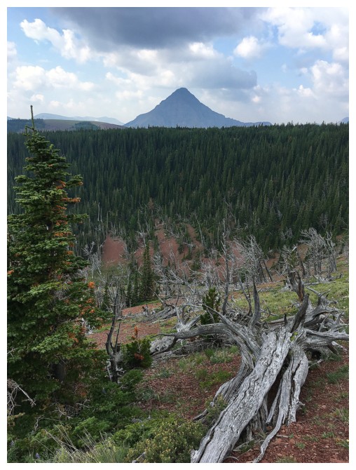
This
route offered all the elements that continue to leave me jaw-dropped when
hiking/scrambling in Southern Alberta: a stunning variety of rock in a stunning
variety of colours, twisted, sun-bleached dead trees, and far reaching views
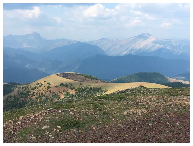
that include mountains to the west and prairies to the east. Only the
slightly hazy skies (a foreshadowing of what was to become the worst month of
forest fire smoke I can remember), and then cloudy skies as I reached the
summit were a source of disillusionment.
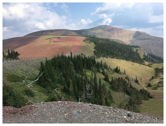
After a
short summit stay, I descended the remainder of the described route that goes
around the (again) jaw-dropping west side of a southern outlier of the
mountain. The wonderfully scenic route, marred only by cloudy skies, led me
easily back to the start. I did vow to return to the west and south sides of
this outlier when clear skies prevailed.
Another awesome
day out on the runt mountain of Castle Provincial Park – two thumbs up for the
little guy!
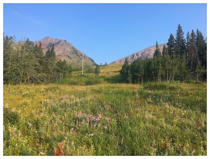
Hiking up a cutline cuts a short distance off the trip near the beginning
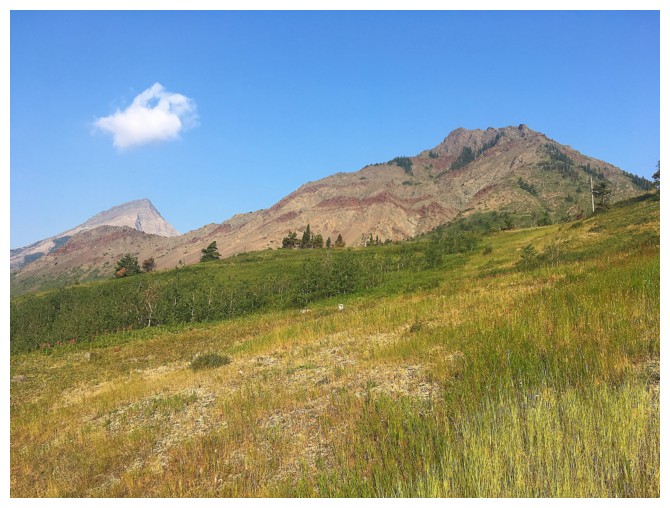
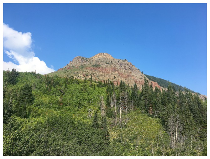
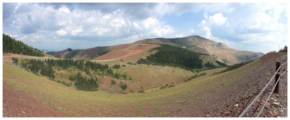
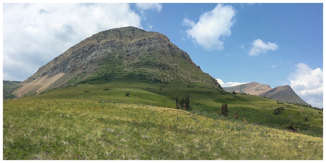
One of the major outliers of Prairie Bluff
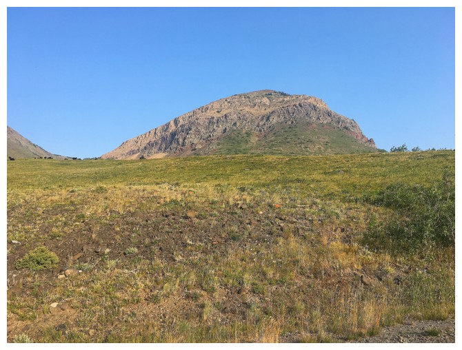
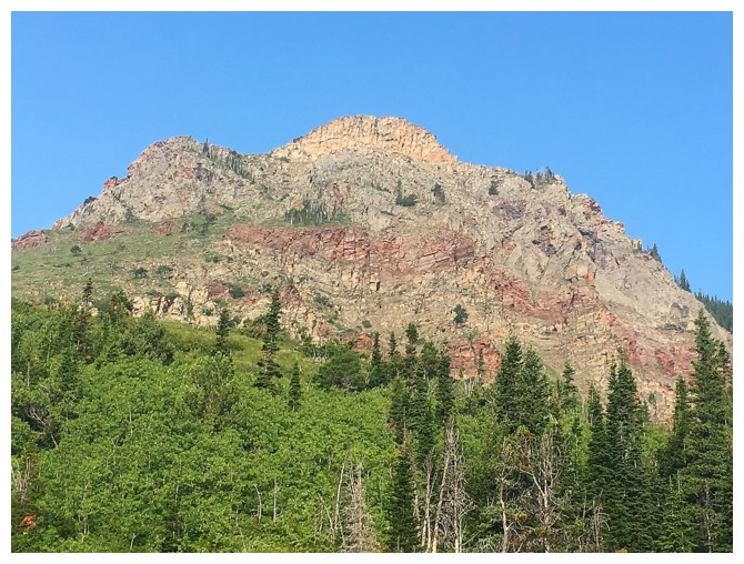
The other major outlier. The route basically goes around this outlier.
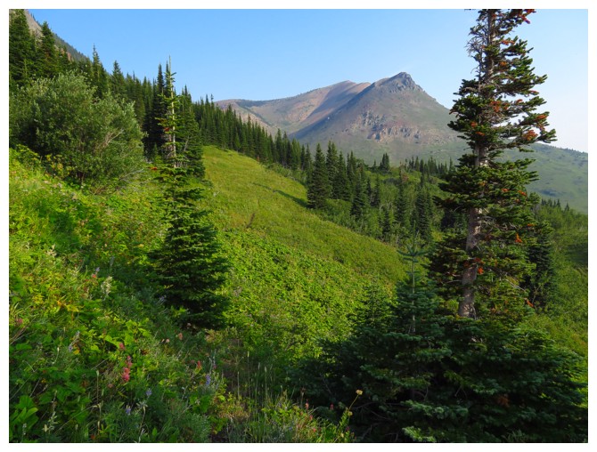
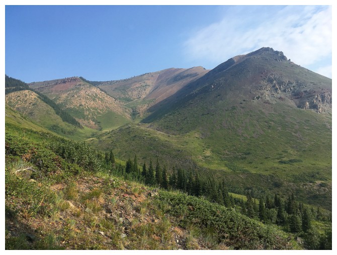
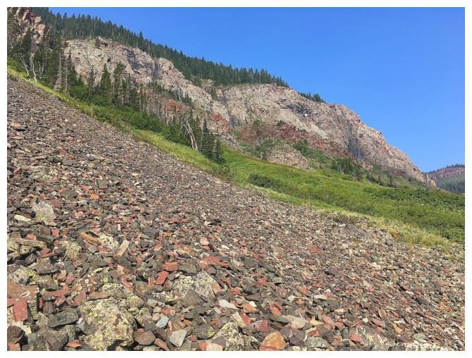
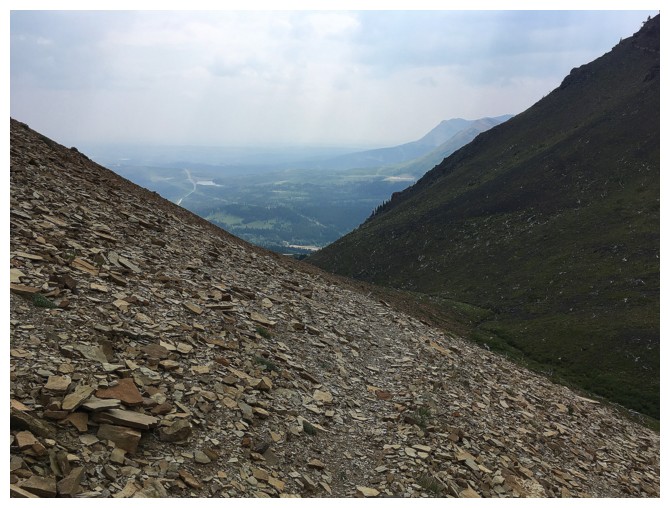
Hiking through lush green slopes towards the ascent valley
The east side of the outlier is quite impressive
I imagine someday I'll try to go up there!
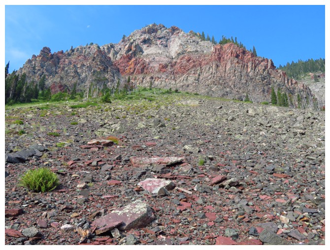
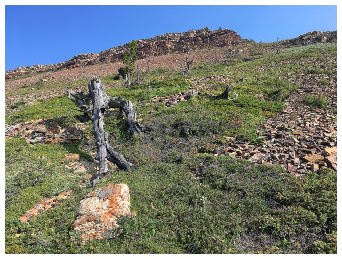
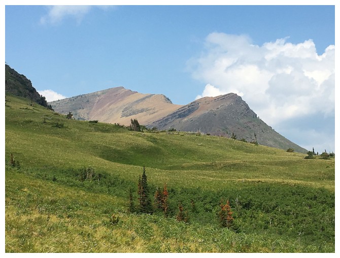
The south ridge of Prairie Bluff with the summit in the centre
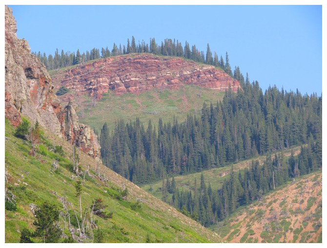
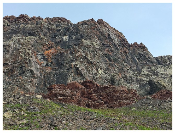
Another band of exposed rock that I'd love to see close-up
This one too
And let's not forget this one!
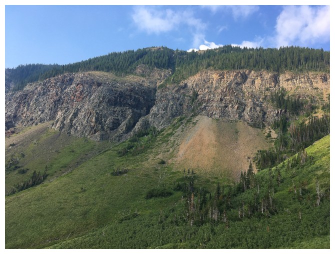
Looking back at the east side of the outlier
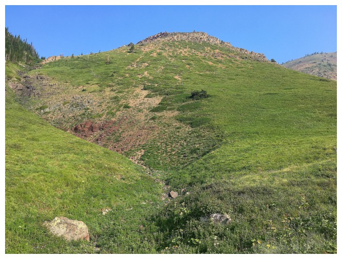
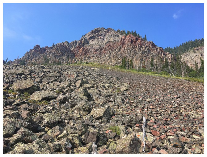
Approaching the drainage where I took the detour
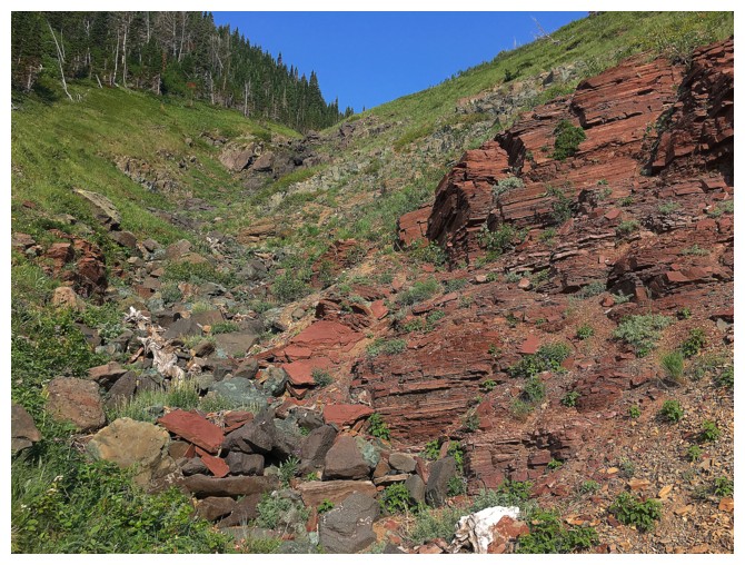
And the red argillite that distracted me
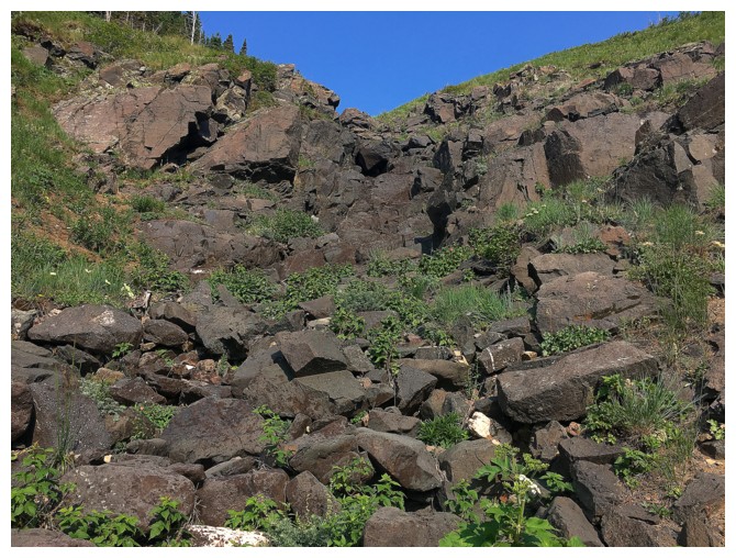
A band of hard igneous rock
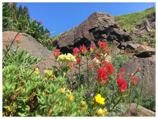
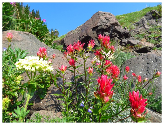
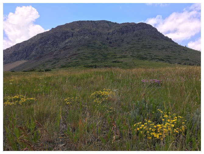
Nothing like a few wildflowers to spice up the already terrific scenery
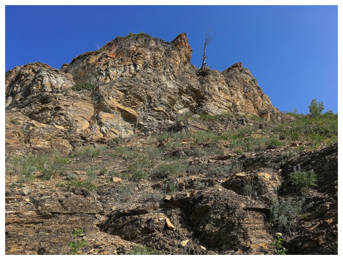
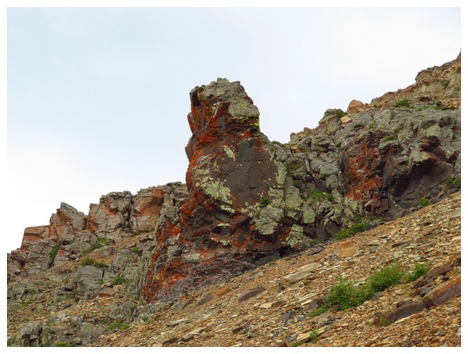
The first of a couple of colourful rock bands higher up the drainage
Another rock band near the summit ridge
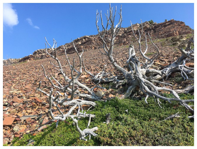
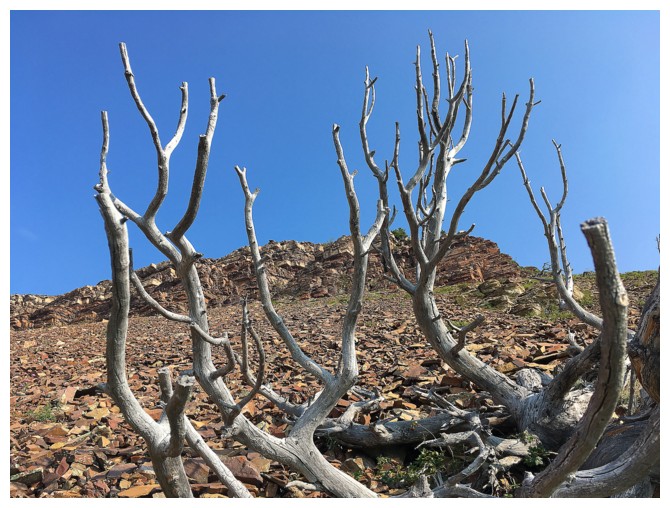
Wouldn't feel like a real trip in The Castle without some dead trees!
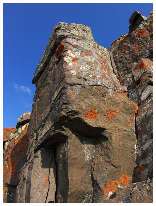
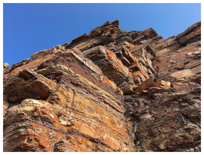
...or cool, lichen covered rock
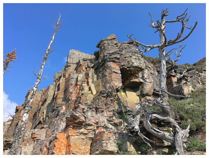
...or both together
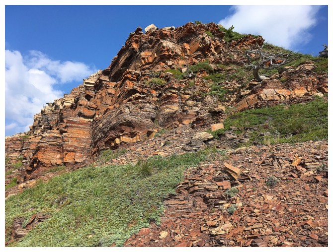
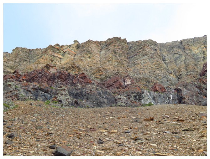
Save the best for last. The final rock band before embarking on an easy hike to the summit
The rock band and the ascent valley far below
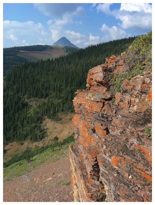
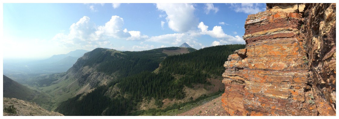
Victoria Peak peaks over a section of Prairie Bluff
Victoria becoming more pronounced
The Sun breaks through the haze and cloud. Mount Gladstone at the right
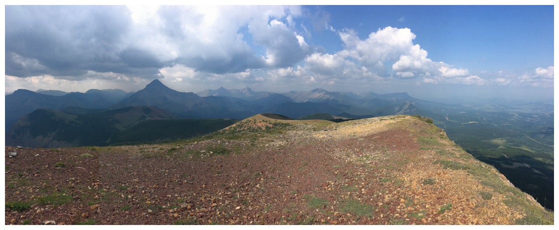
At the summit taking in a variety of weather conditions
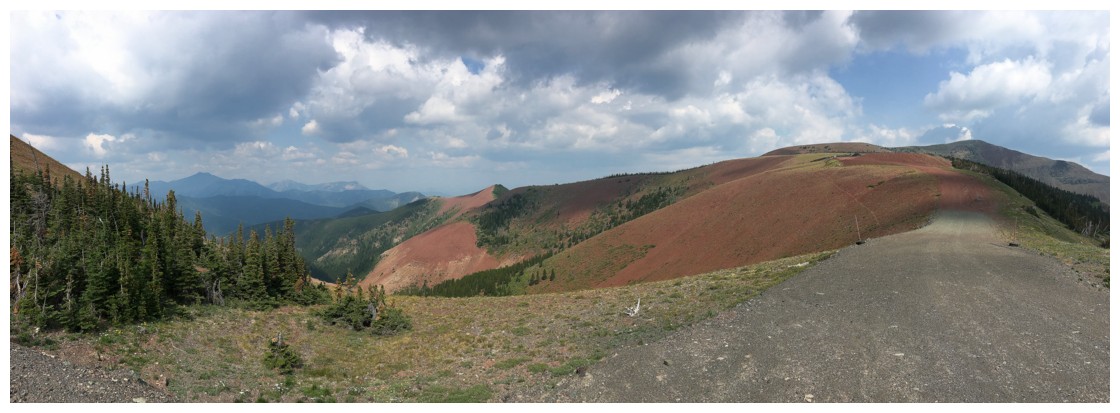
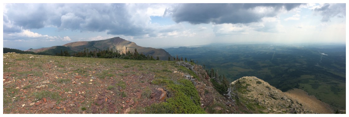
Hiking along the gas road and looking back at the summit
Same as above
Hiked to the top of the outlier before descending
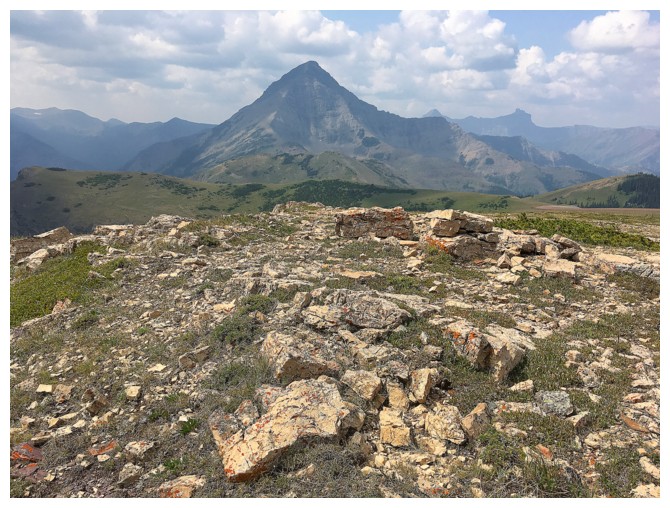
Victoria from the summit of the outlier
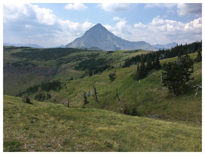
Last look at Victoria
Easy slopes on the west side of the outlier
And terrific rock scenery
This would look great on a clear day
So would this
At the bottom of the outlier
The trail is just visible at the far left
The south ridge again
The End