Prairie Bluff XVI
January 4, 2024
Mountain height: 2258 m
Elevation gain:
558 m
Ascent time: 2:30
Descent time: 0:55
Solo scramble.
Took a slight variation
on previous route. At one point I tried to find a route up through the rock
bands that guard the ridge, thinking there may be a weakness up a ramp. Fortunately,
I came to my senses a short ways up and backed down. The route would have led
to a dead-end and the terrain was starting to get quite serious.
Settled for
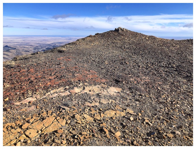
another easy visit to Prairie Bluff’s main summit and back via the easiest
route I could find.
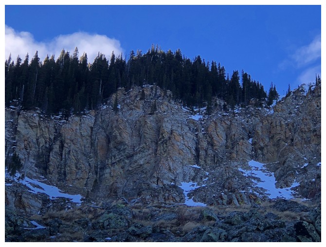
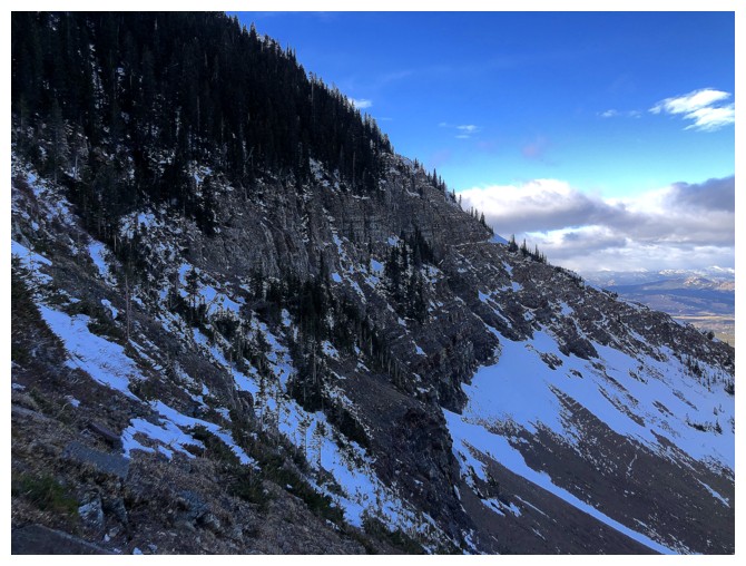
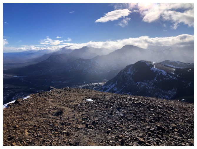
The rock band I wanted to try and find a route up
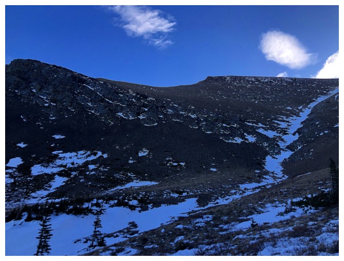
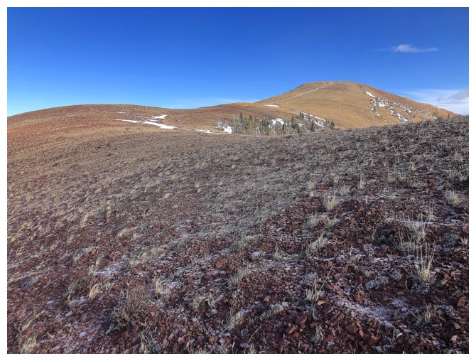
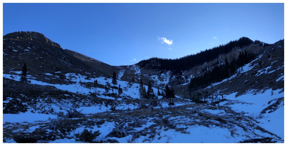
Much easier terrain on the other side of the valley
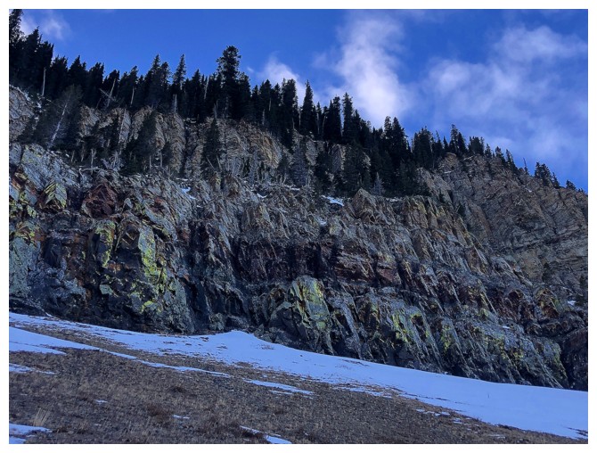
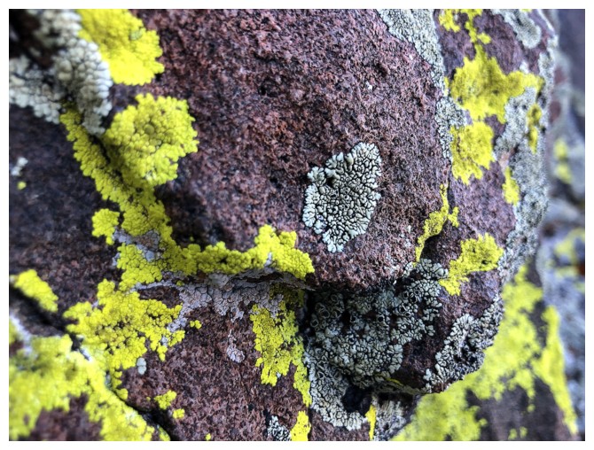
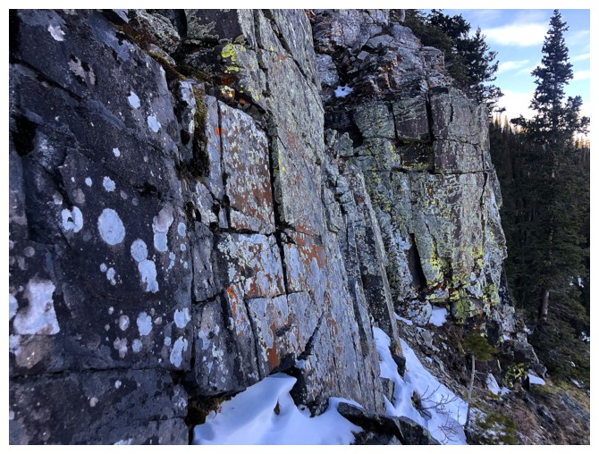
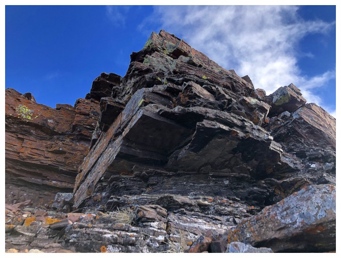
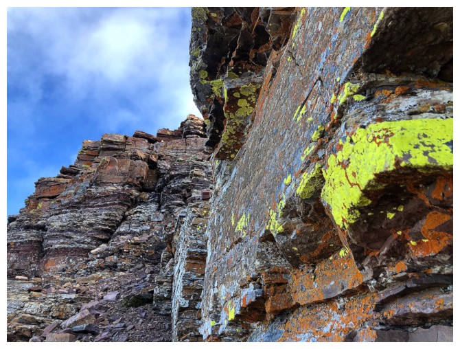
This steep, lichen-covered rock is magnificent when the Sun shines upon it
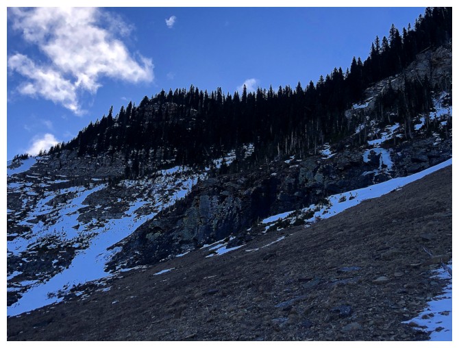
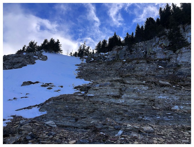
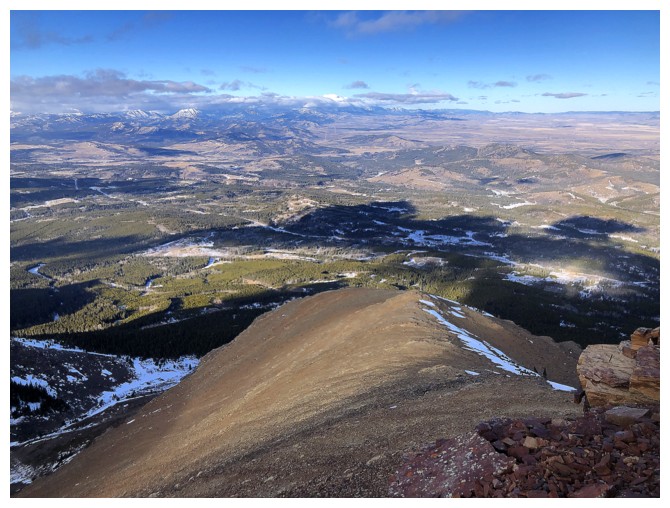
Approaching a section where the steep rock gives way to slightly easier terrain
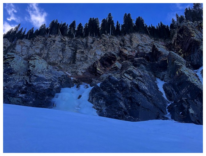
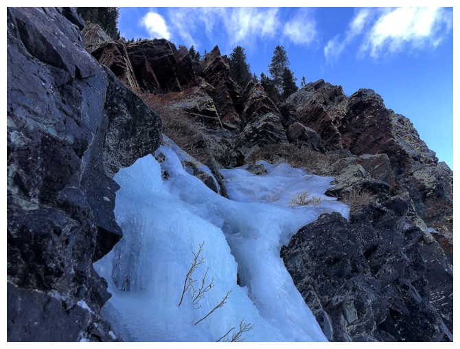
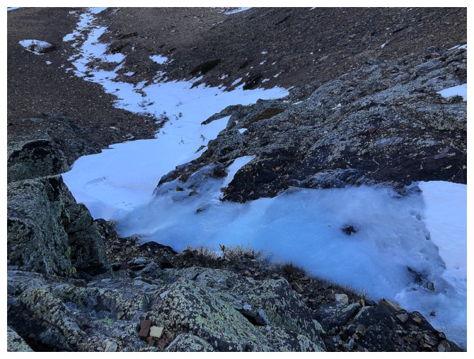
A few small frozen waterfalls are encountered en route, but nothing substantial enough to ice climb
A section of igneous rock is also encountered
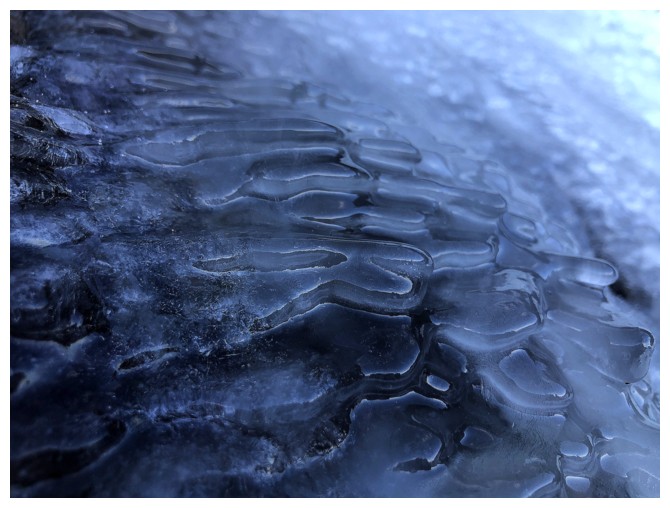
Ice close-up
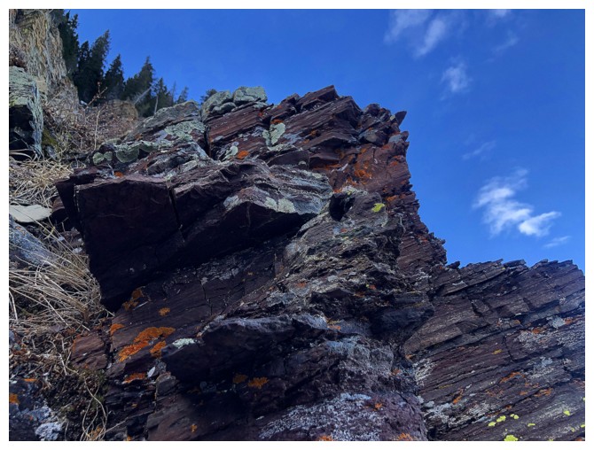
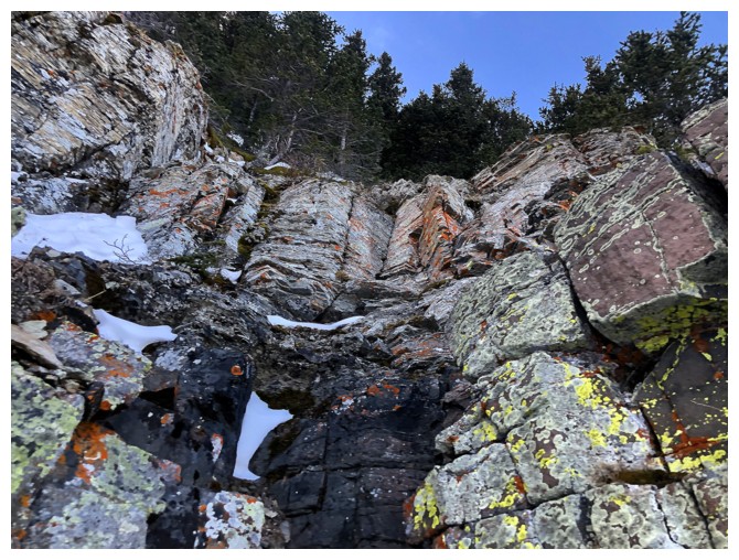
Burgundy argillite
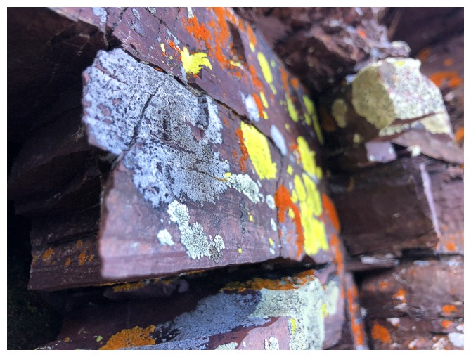
...with lichen
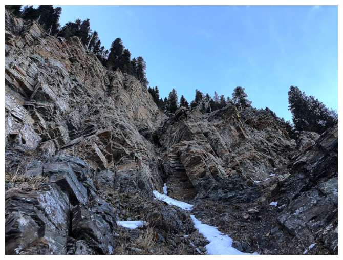
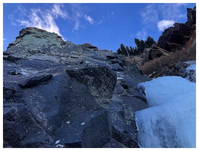
Going up steeper terrain, hoping to find a ramp that leads with relative ease to the ridge
Back down at the base after bailing on the attempt
Still, there's lots of cool rock to enjoy from below
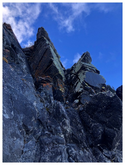
Looking back to the terrain I tried to ascend. Don't see the ramp I thought might be there.
Looking forward to the much easier terrain I will end up on
View back again
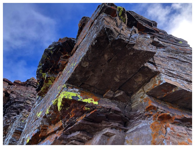
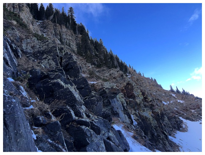
Traversing below another set of beautiful rock bands
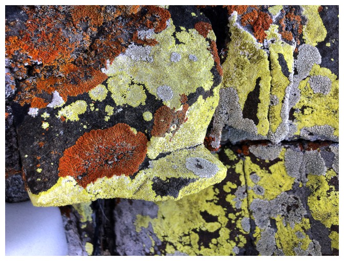
Very colourful ones!
Same as above

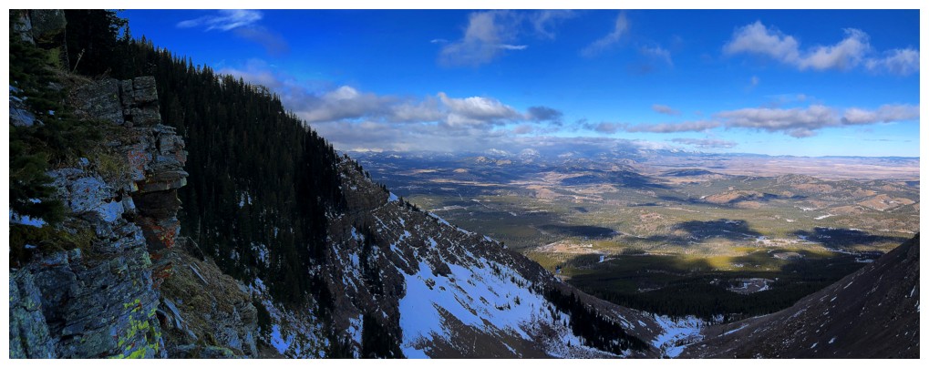
Around a corner, the remainder of the route to the ridge is revealed
On the ridge, looking to the summit
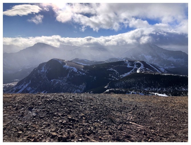
Not the greatest weather to the southwest
...or the south
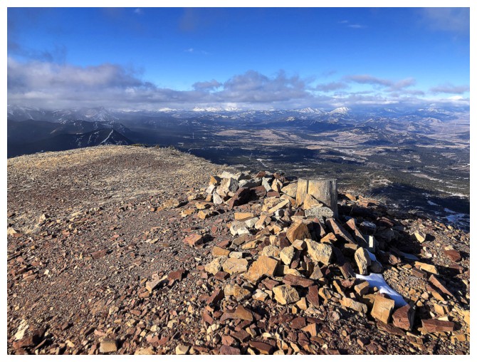
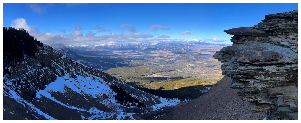
Obligatory photo of the summit stump and view to the north
Revisiting one of my favourite rock bands in the Rockies
Looking down some of the descent route
The rock band again. It demands clear skies and the Sun in the west.
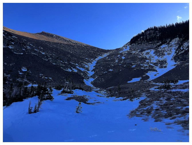
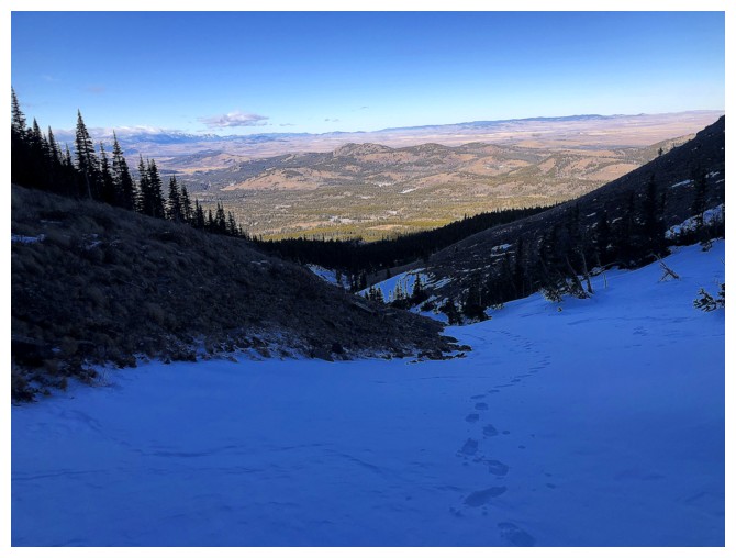
Headed straight down the drainage between the two ridges for descent
Another section of ice and the reason you may not want to glissade this route when it is completely snow covered
Came right down the centre
Easy terrain lower down
The two ridges that I've come to enjoy repeatedly
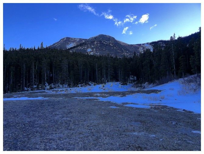
Back at the start
The End
LOG