January 15, 2022
Highpoint: approximately 1950 m
Total elevation gain: 650 m
Round-trip time: 5:00
Solo scramble.
The goal of this trip was twofold: 1. Attempt
to approach the summits of the two eastern outliers of Mount Roche, The Eaglet
and Raptor Peak, from the east side, as opposed to the “normal” northeast route;
2. Check out the terrain on the south sides of both peaks. 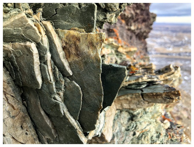 On a previous trip,
I had spotted a cleared path through the trees heading in the general direction
of the east face and thought the route was worth a look.
On a previous trip,
I had spotted a cleared path through the trees heading in the general direction
of the east face and thought the route was worth a look.
The first part of the approach went
exceedingly well, following the wide path through the trees. However, eventually the route
seemed blocked by an extensive forest of polars. Fortuitously, I stumbled on a
good path through the trees and before long I was heading up the open slopes of
The Eaglet’s east face. 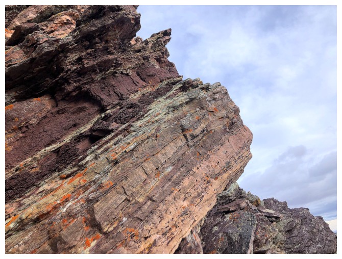 Aside from the disappointing cloud cover, the ascent
also went exceedingly well, featuring the usual array of super photogenic
Southern Alberta rock.
Aside from the disappointing cloud cover, the ascent
also went exceedingly well, featuring the usual array of super photogenic
Southern Alberta rock.
Upon reaching the ridge I decided to skip the
summits of The Eaglet and Raptor Peak in favour of heading more directly
towards an inviting ridge on the south side of Raptor Peak. That ridge was
reached with ease and also boasted a glut of amazing rock scenery, as well as
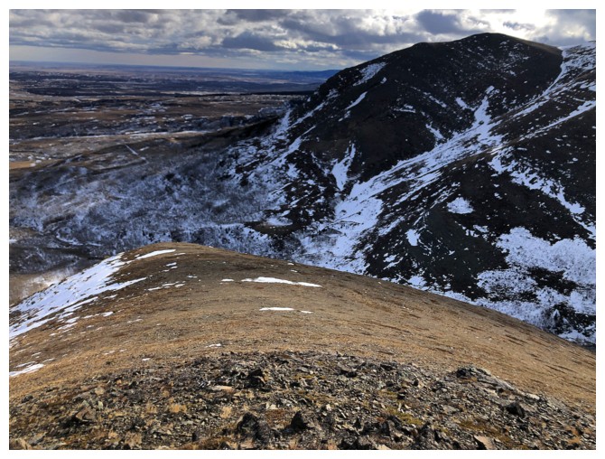
terrific views of the east side of Mount Roche (Spread Eagle Mountain).
Eventually, I had to figure out a way to get
back to the start. Retracing my route was certainly an option, however, descending
the south ridge and then side-sloping back to my ascent line
appeared to be straightforward. And it was – almost! Though not as scenic as
the ascent line, the route down was interrupted by two drainages, the second
home to another round of terrific rock scenery.
The “almost” occurred lower down when I
realized I had not recorded a GPS track for the route so far. Finding my way
back through the trees was not as obvious as I thought it would be.
Fortunately, I did stumble (purely by accident) onto a different path that led
back to my ascent line.
Overall, an interesting and rewarding day. I
can happily add this route to the growing list of those detailing ascents of
the fantastic East Castle outliers.
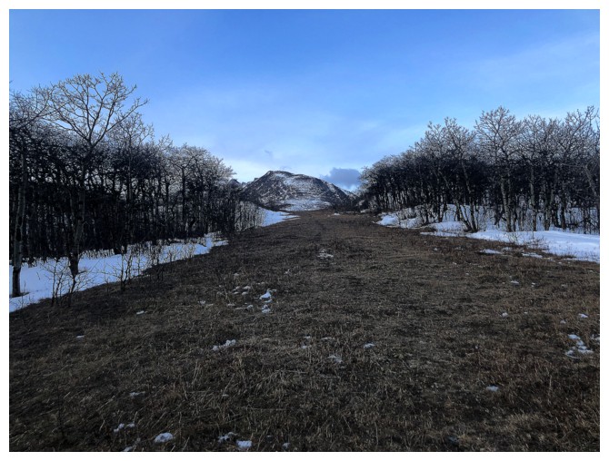
The wide pathway through the trees that inspired the route, with the objective in the distance
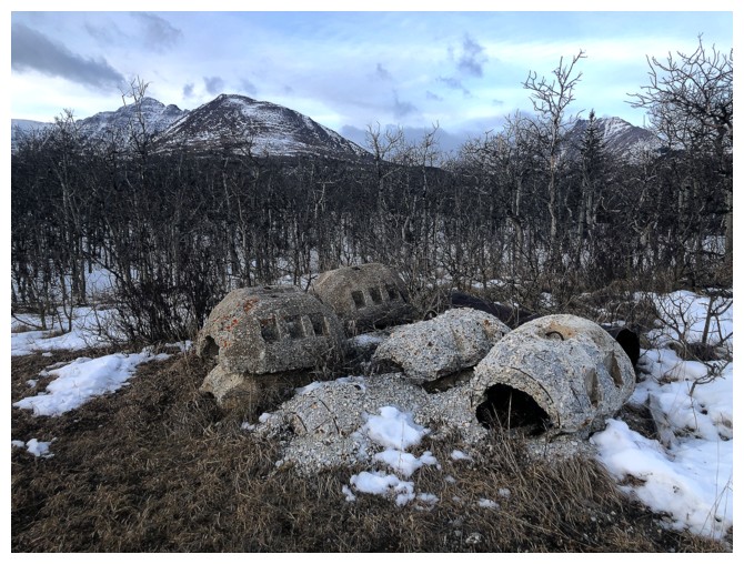
???
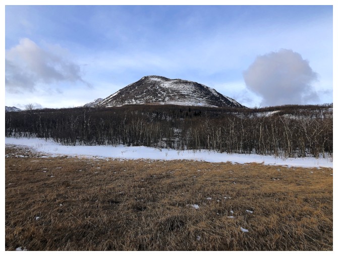
The trees between me and the mountain
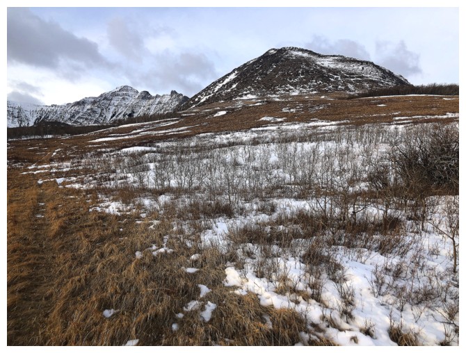
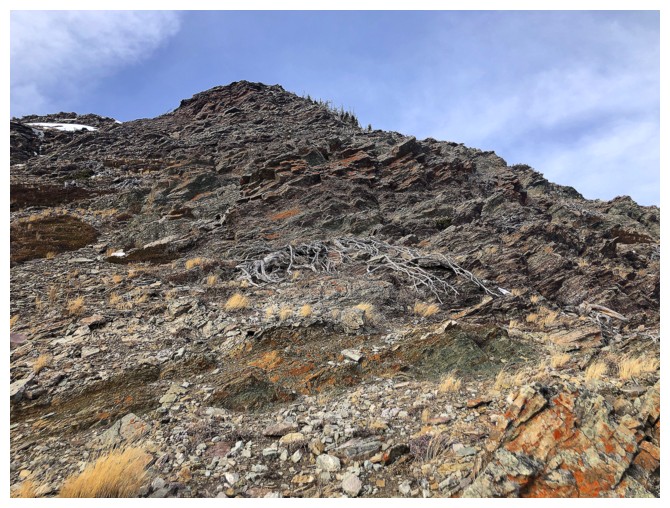
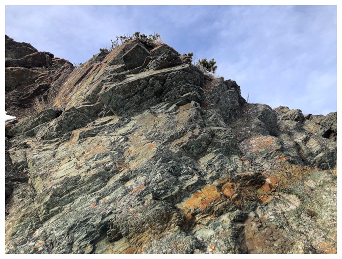
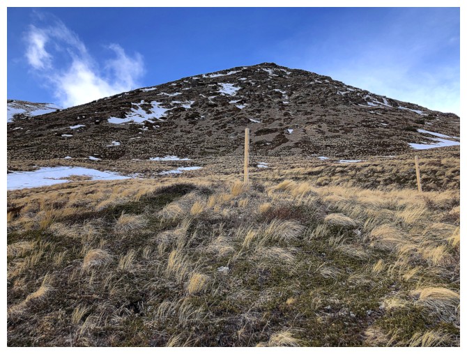
Passed the trees and heading directly towards the east face
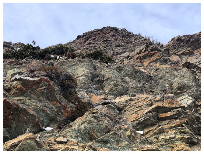
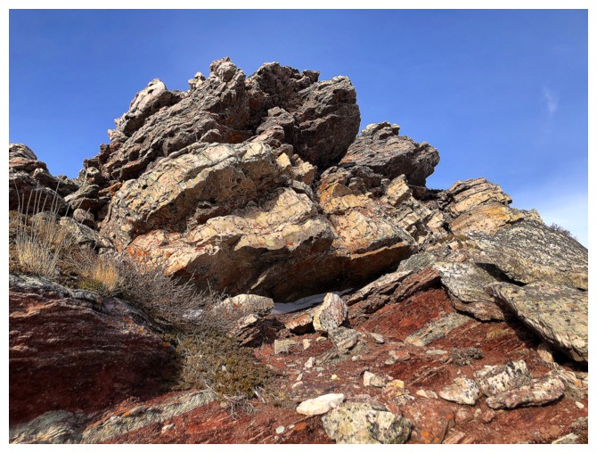
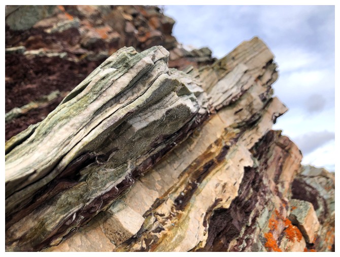
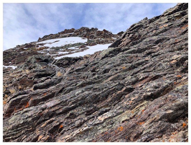
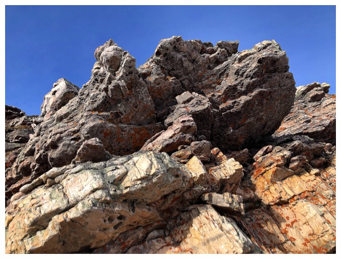
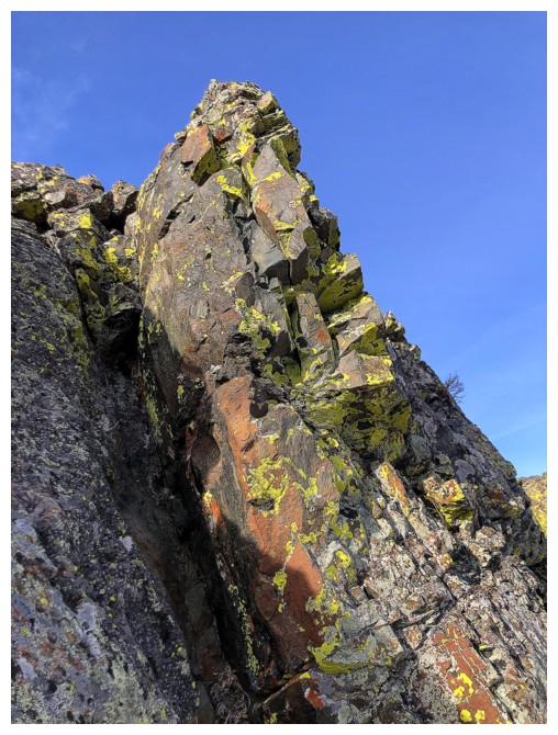
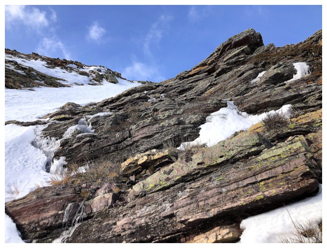
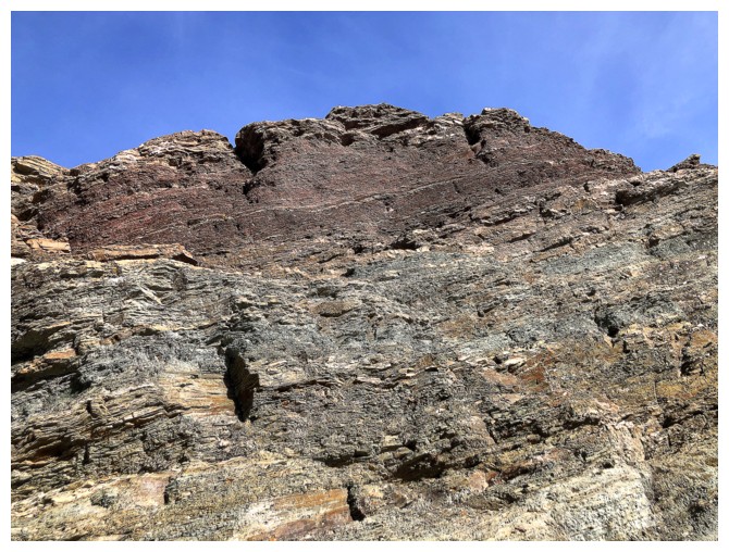
Typical terrain on the face
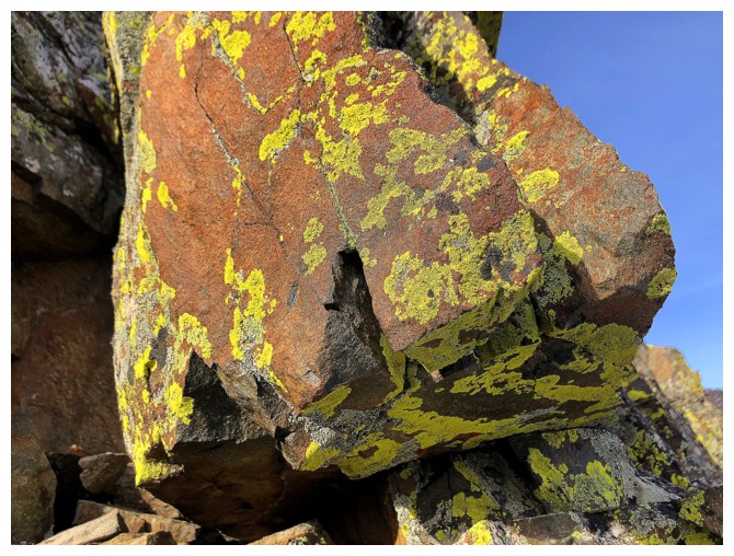
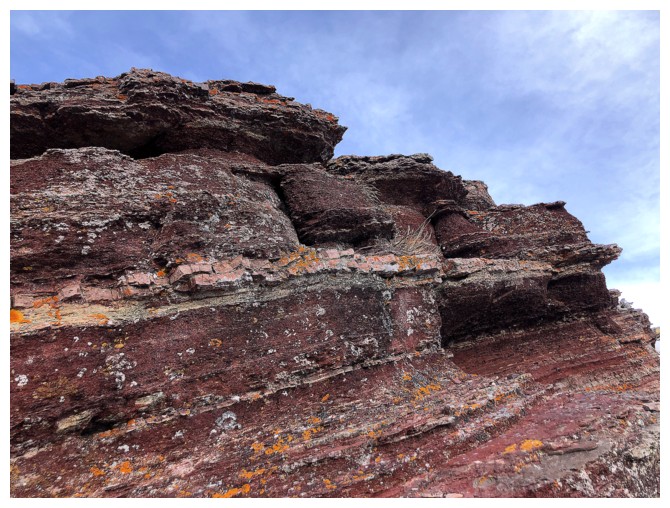
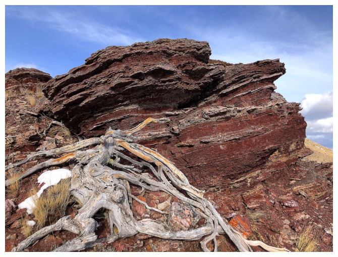
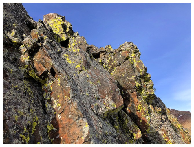
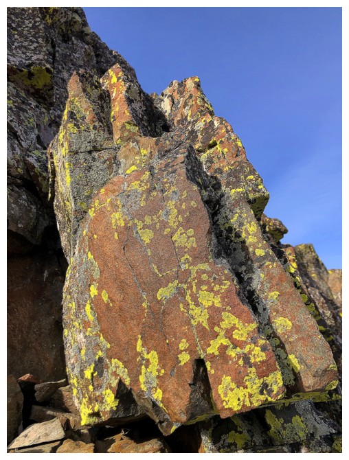
Here comes the colourful, lichen-covered rock
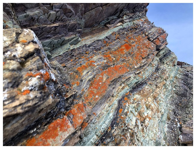
Halfway up
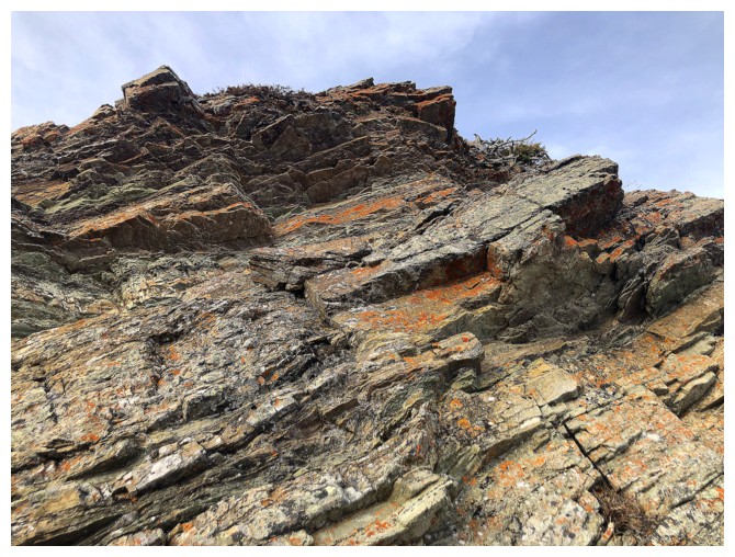
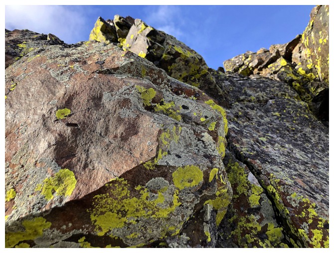
The amazing rock scenery continues
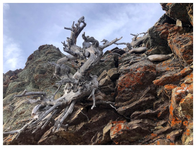
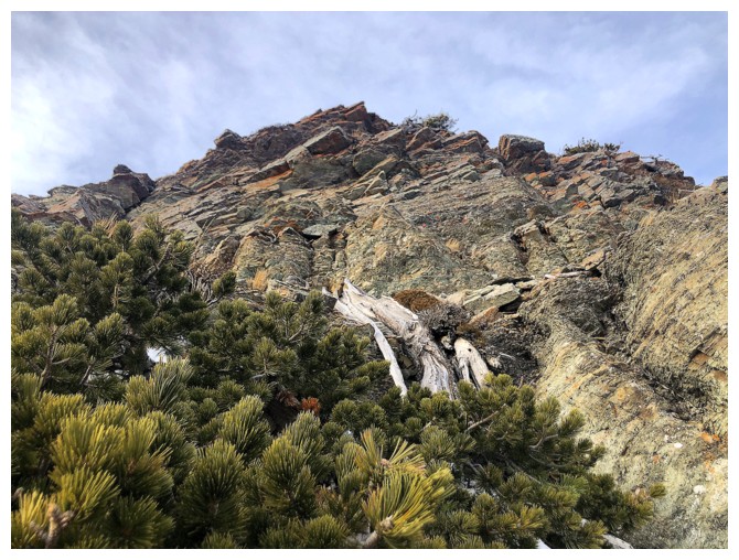
Of course, there is no shortage of twisted, dead trees either
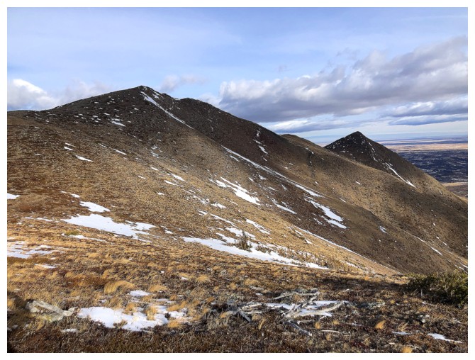
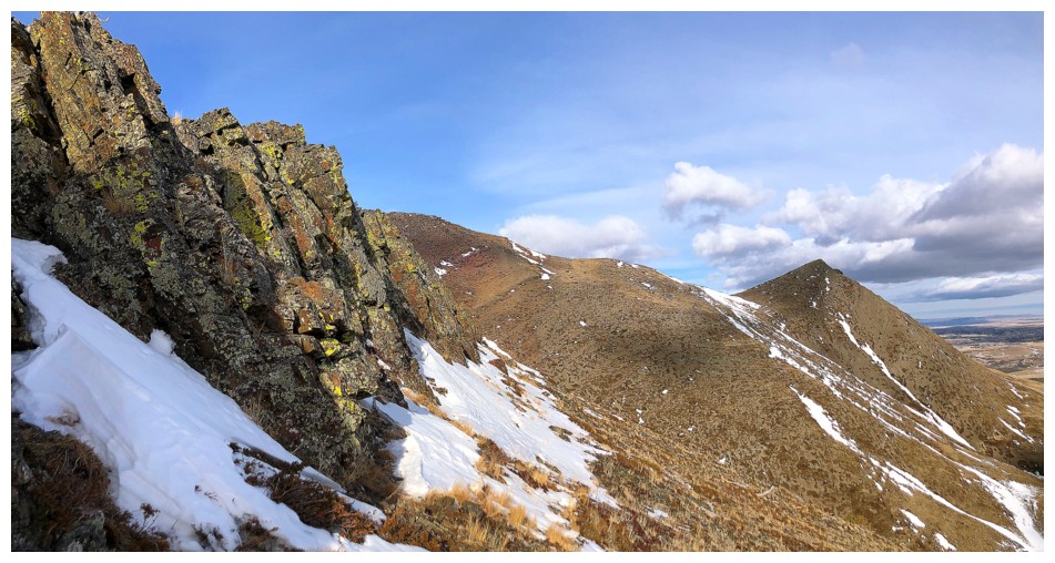
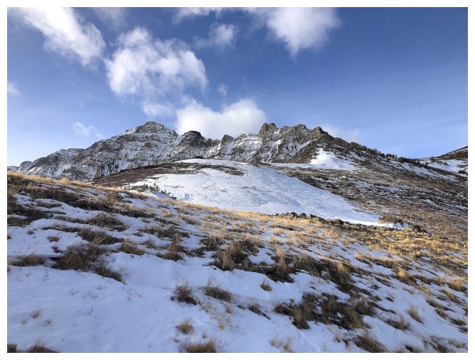
The ridge up ahead
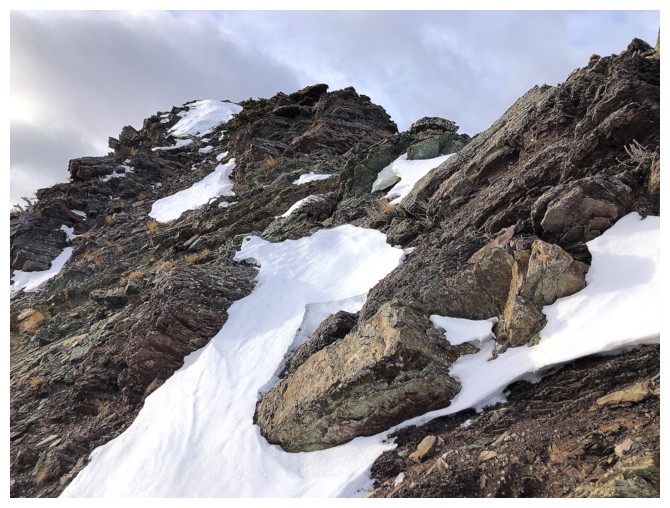
Metres away from the ridge
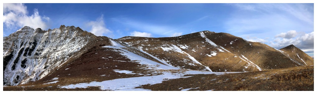
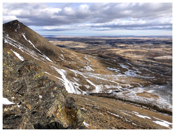
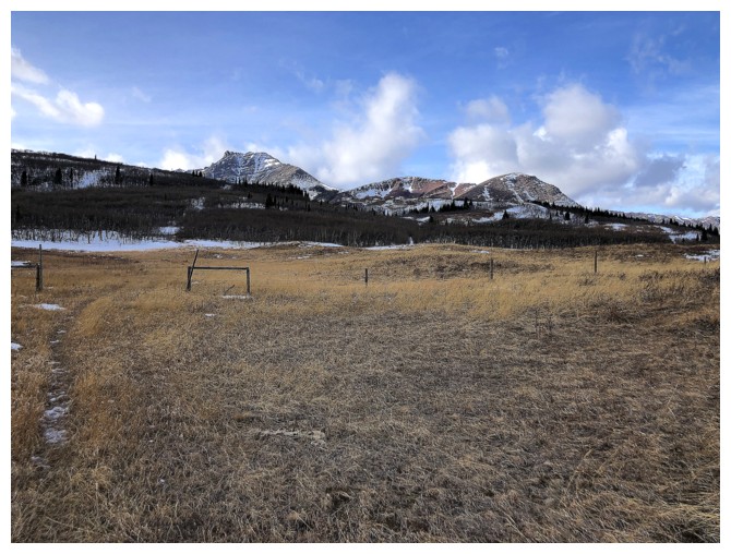
The east end of Loaf Mountain with Bakery Peak is the first thing you see once on the ridge
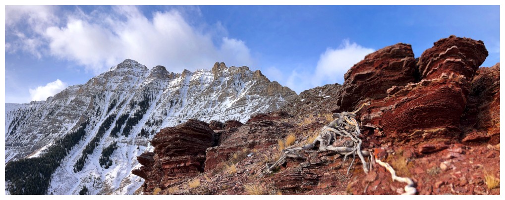
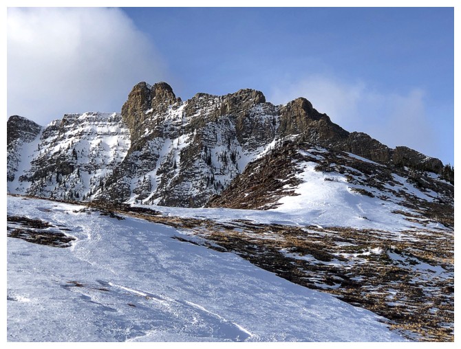
The next is the east ridge of Mount Roche (Spread Eagle Mountain)
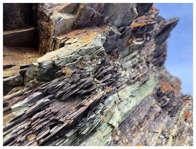
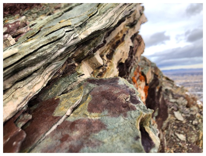
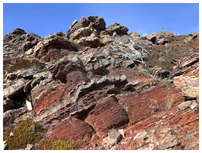
Back to being distracted by the argillite
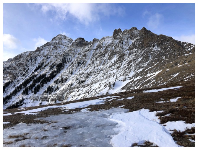
Better view of Roche from near Raptor Peak
Looking south to Yarrow Ridge
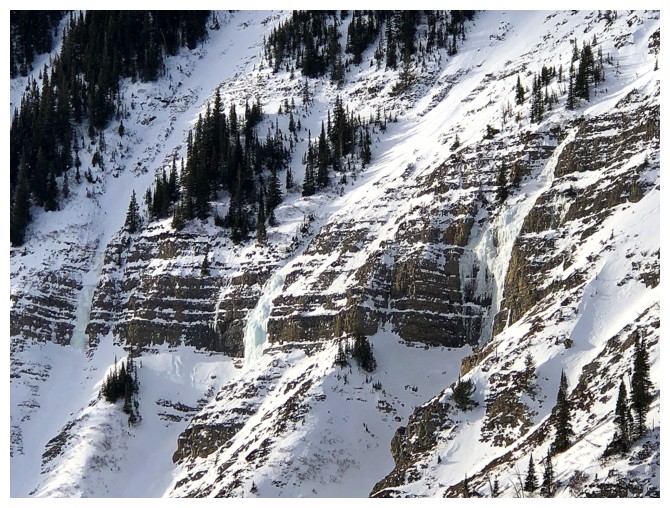
A few ice smears that may be good ice climbs on the east face of Roche
Looking back at Raptor Peak (left) and The Eaglet (right)
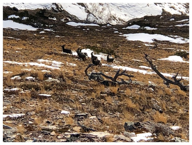
Accidentally startled this group of deer
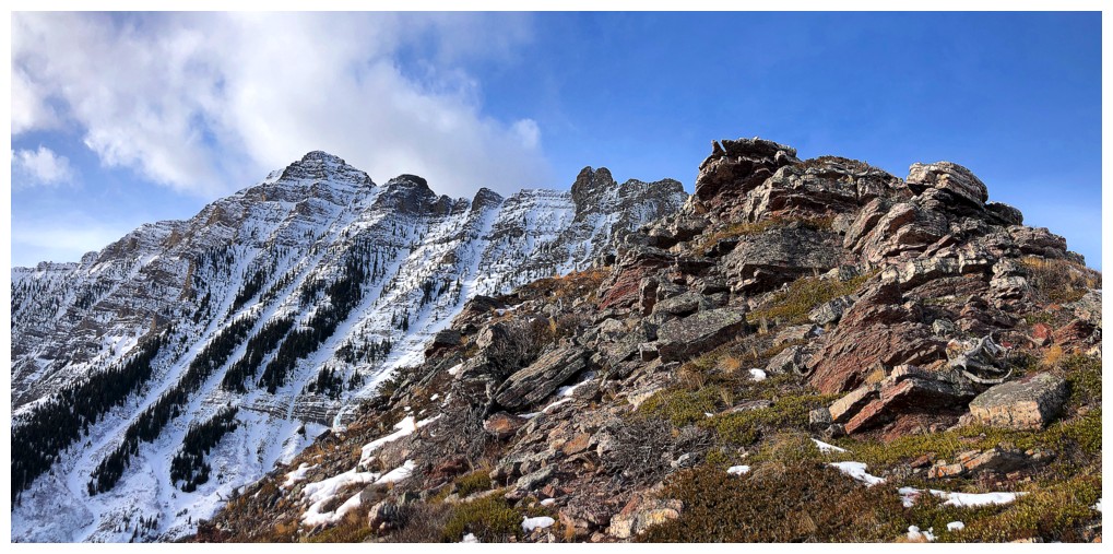
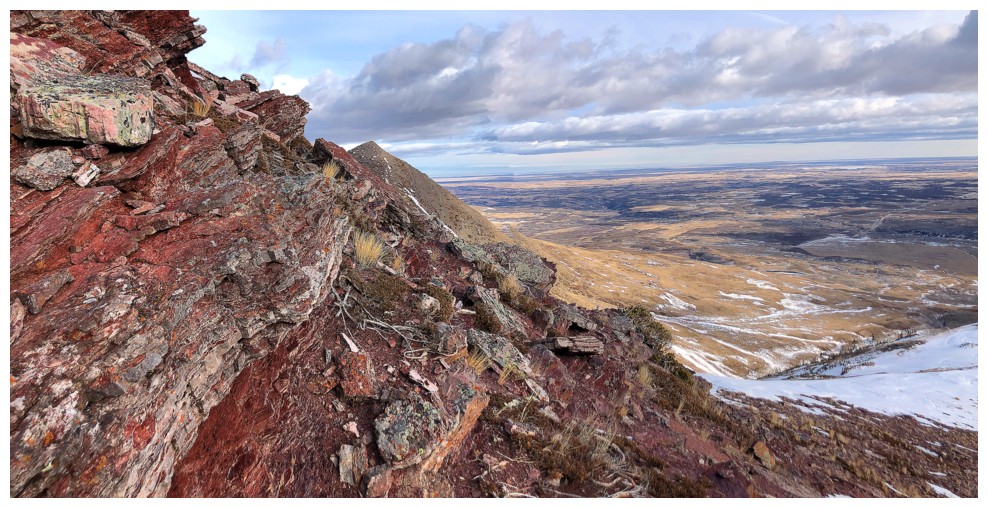
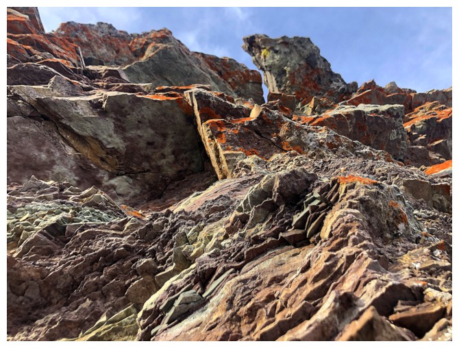
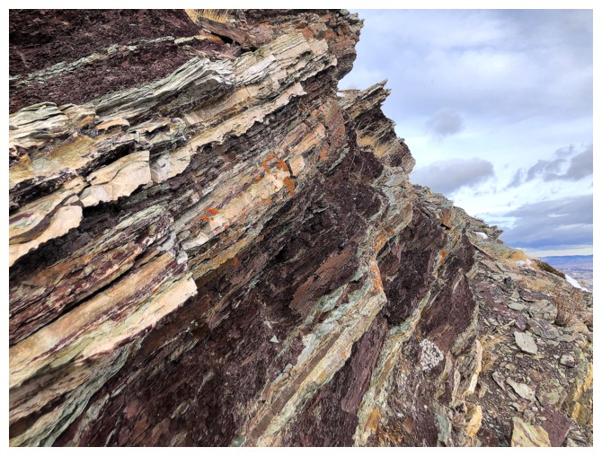
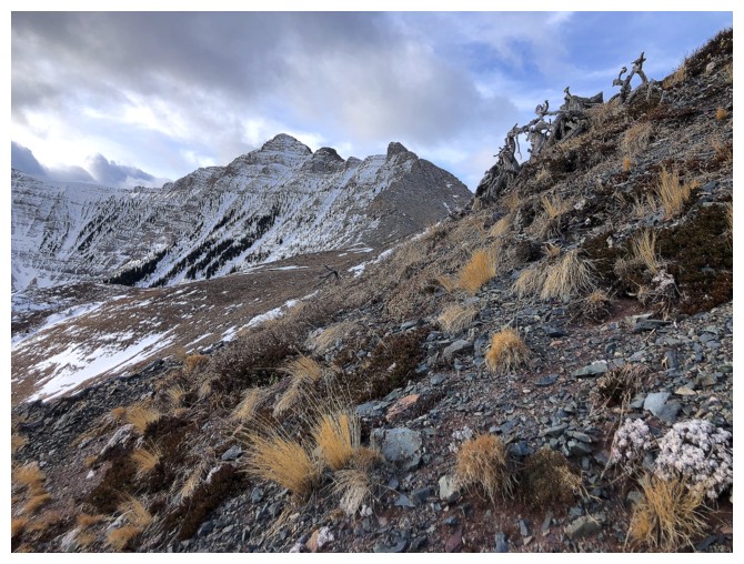
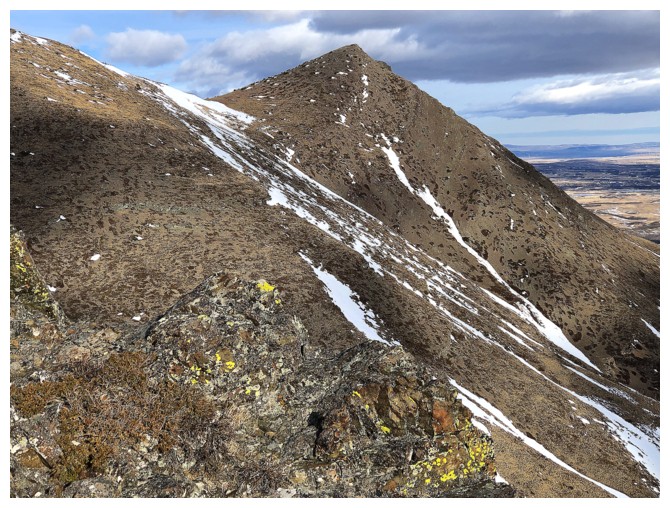
Now heading down the wonderful ridge south of Raptor
With clearer skies and a whack load of insanely cool rock, this ridge was the highlight of the day
Starting to think about a route back
But more amazing rock and views to see first
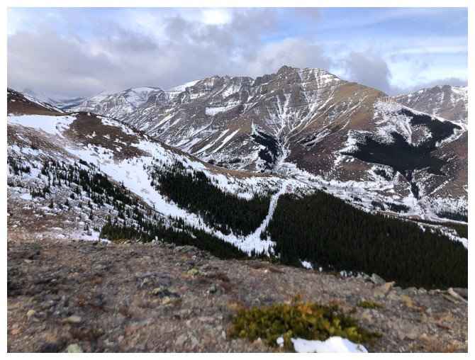
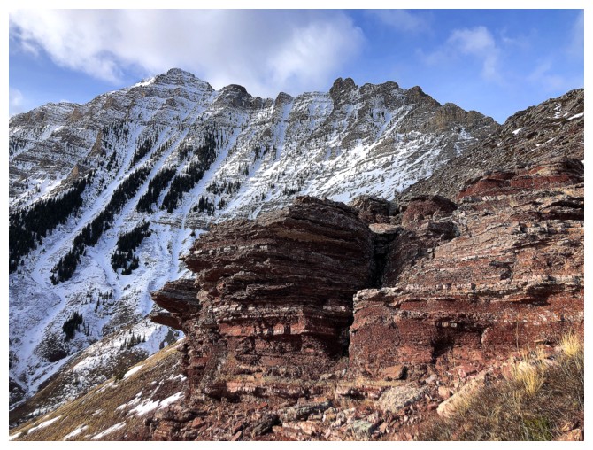
Roche, Raptor, and Eaglet
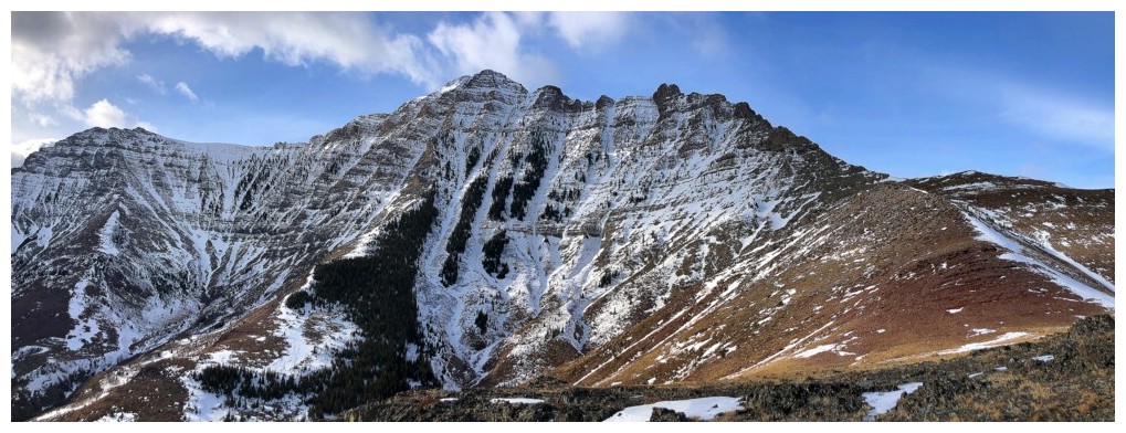
Just that beautiful and daunting east face of Roche
Looks like I'll be going down that way (right side of the photo)
Heading down further down the ridge a little first
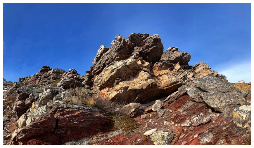
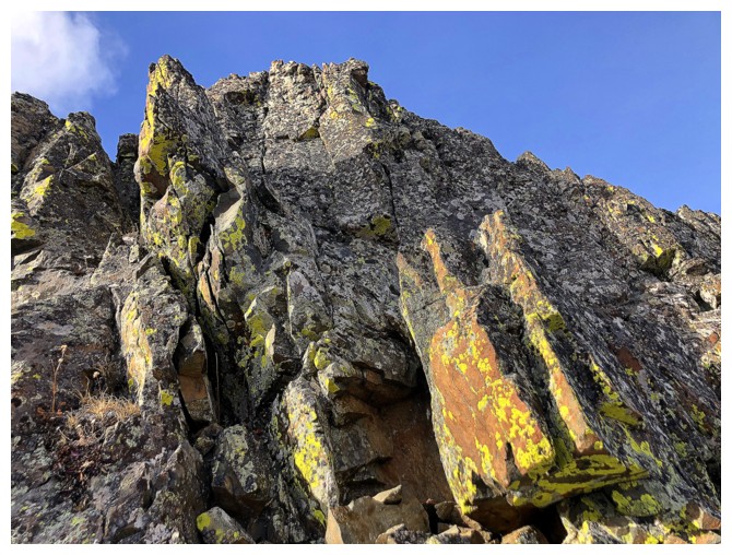
The long, traversing descent begins
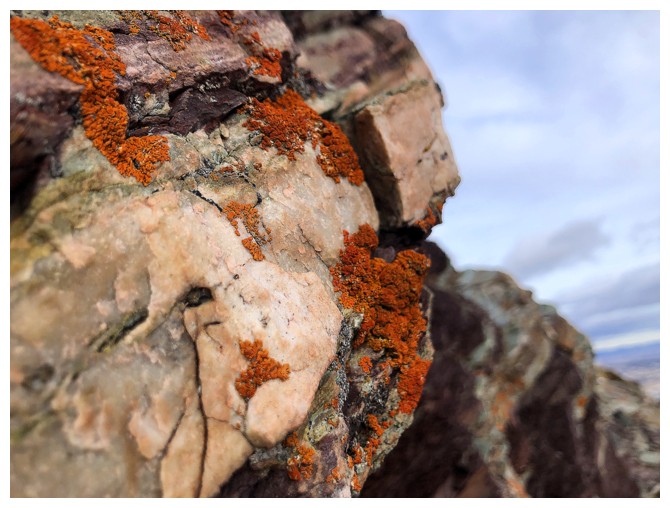
It begins with another cracking round of lichen-covered rock (British slang)
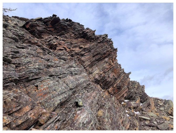
Last look at the exciting east ridge route up Roche
Close-up
Approaching the first gully that cuts through the south side
Nice rock on the far side of the gully

Cool clouds over the ridge
The next gully
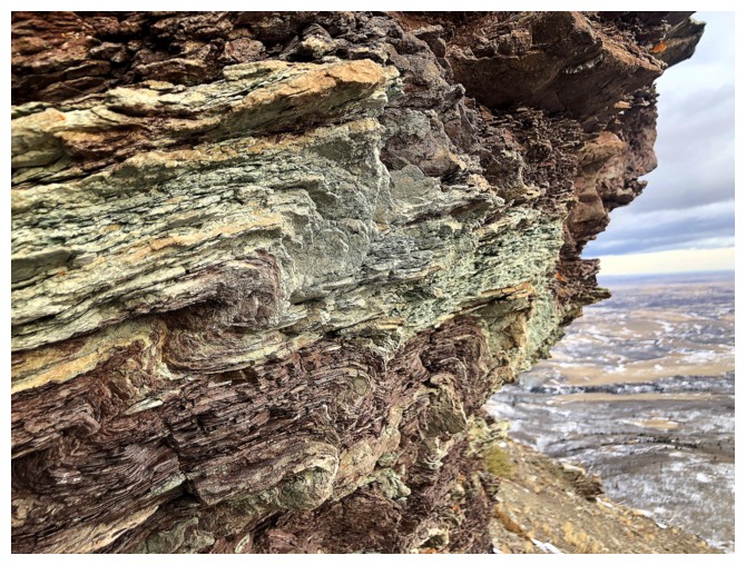
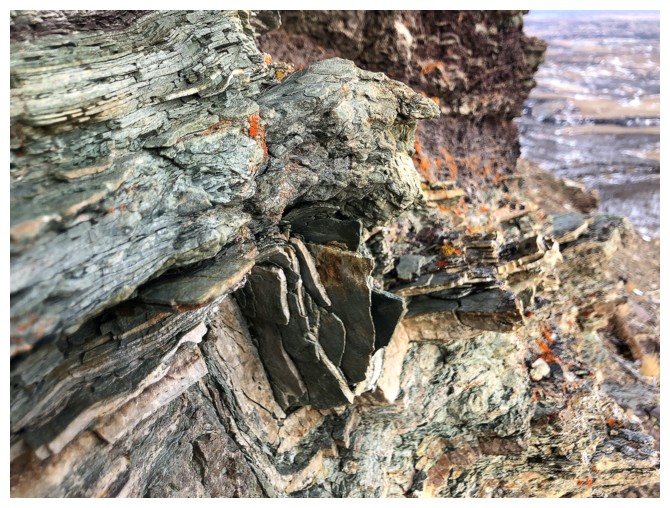
This one feature a canyon-like feature

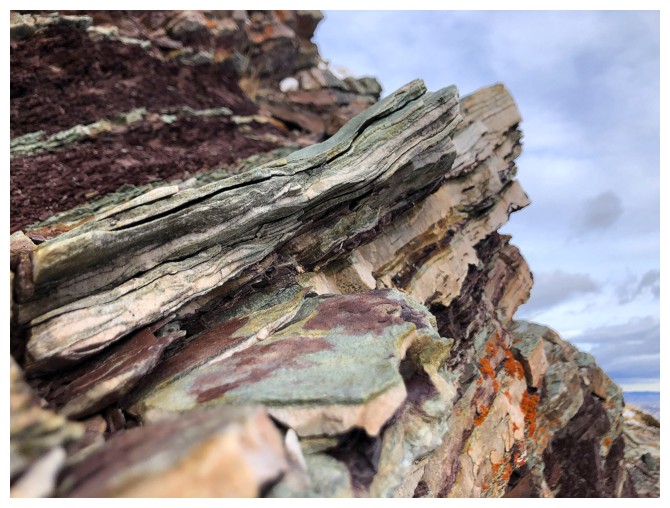
Rock layers in the canyon section
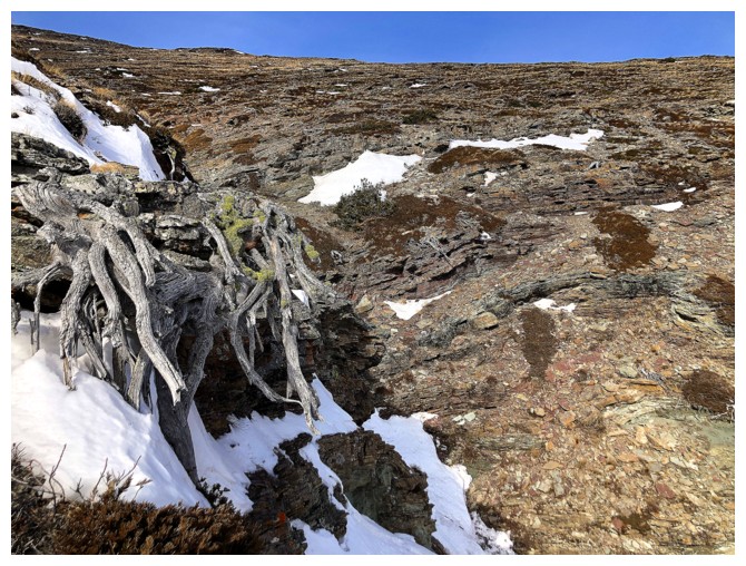
Dead trees by the canyon
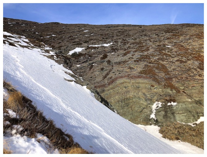
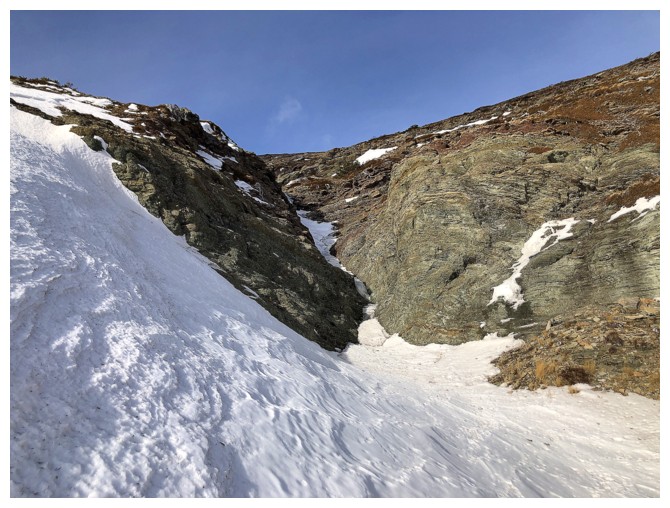
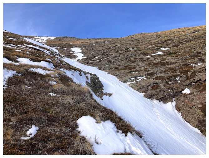
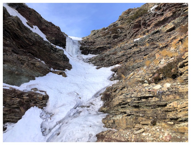
Could have descended the snow slope, but I would have had to put crampons on
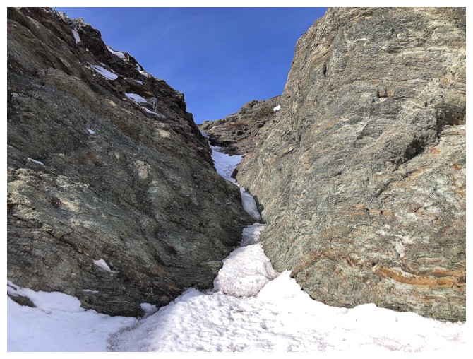
Looking up the canyon. I did put the crampons on at this point to see if I could ascend some of the canyon.
Up the first part
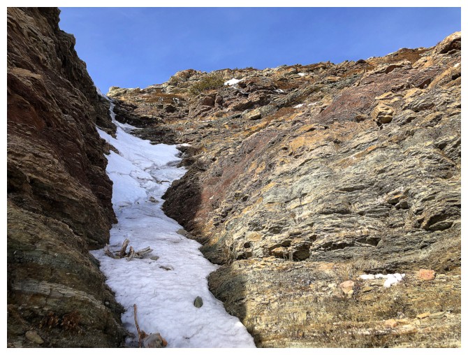
Onto the next
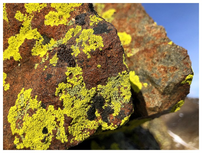
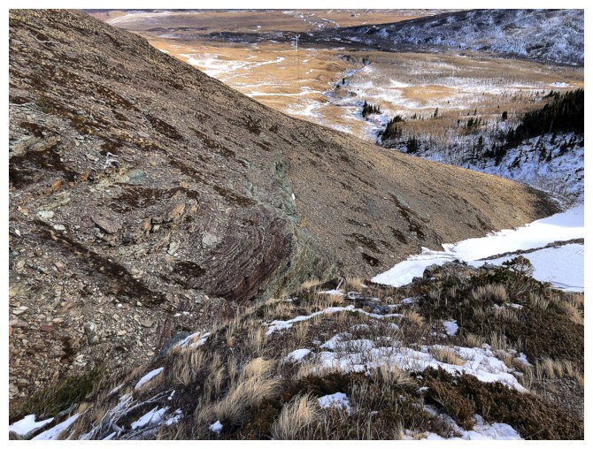
Red and green argillite and others
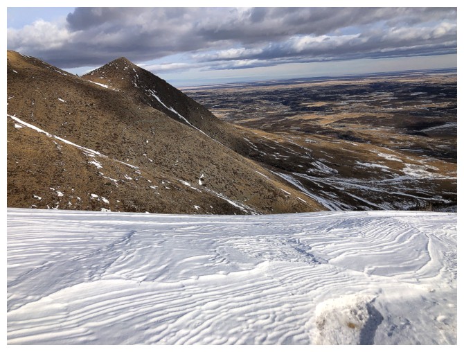
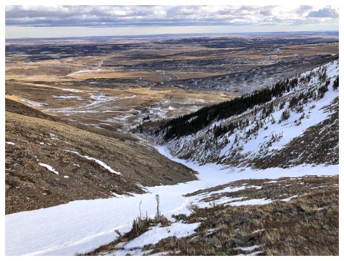
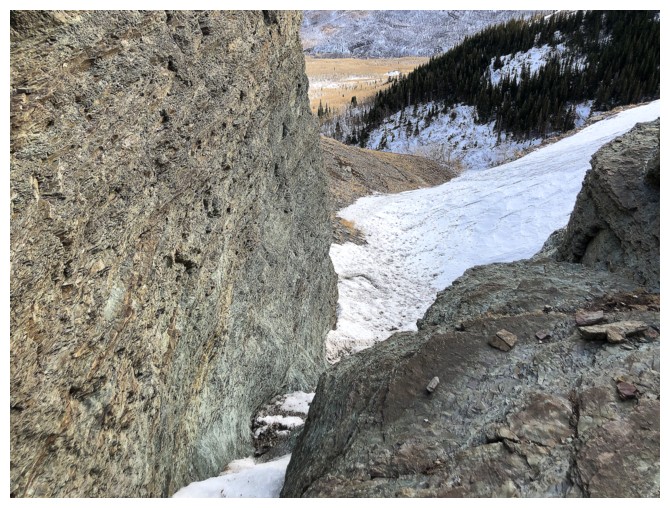
The highest point I reached
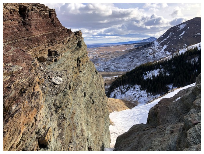
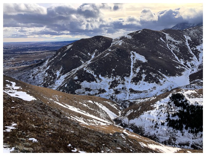
Looking down from the highpoint
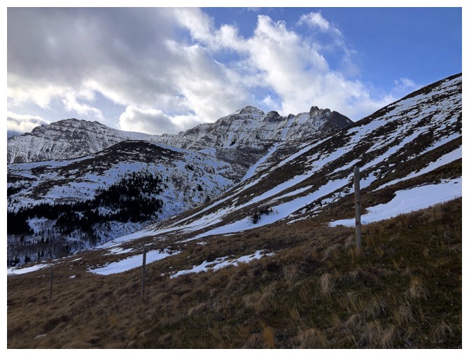
Sometime later looking back to Roche
The lower slopes of The Eaglet
Bakery, The Croissant, and The Muffin
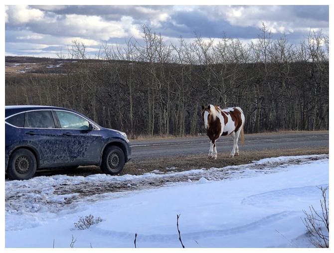
I have some companionship waiting for me at my vehicle
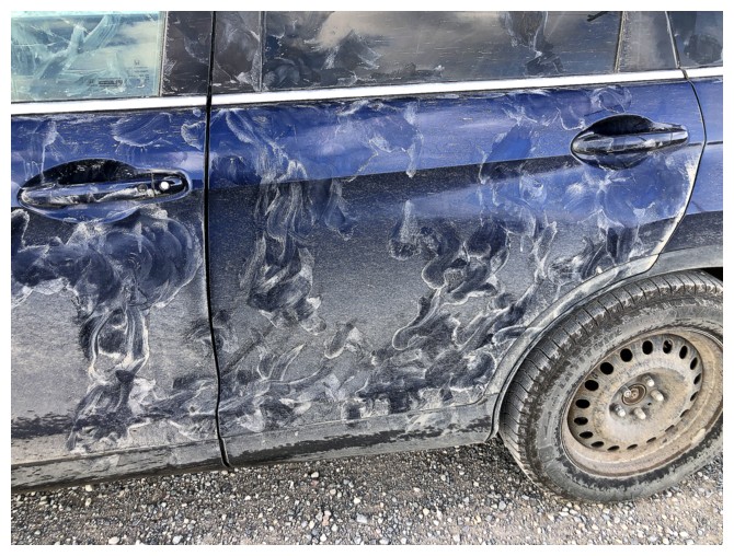
Apparently my CR-V was quite tasty!
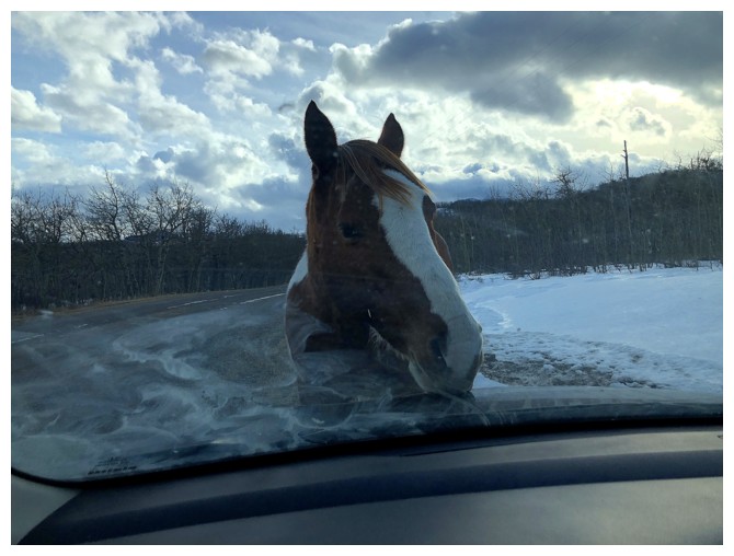
He/she was not shy and didn't move until I started the car
The End
LOG