Prairie Bluff exploration
Whitney Creek Mountain
II
November 13, 2021
Mountain height (Whitney): 1919 m
Total elevation gain: approximately 850
m
Round-trip time
for Prairie: 3:00
Round-trip time
for Whitney: 1:55
Solo scramble.
With a crumby weather day ahead, I decided to
check out an unknown route on Prairie Bluff. Mark and I had ascended a ridge
west of Prairie’s summit in 2010. 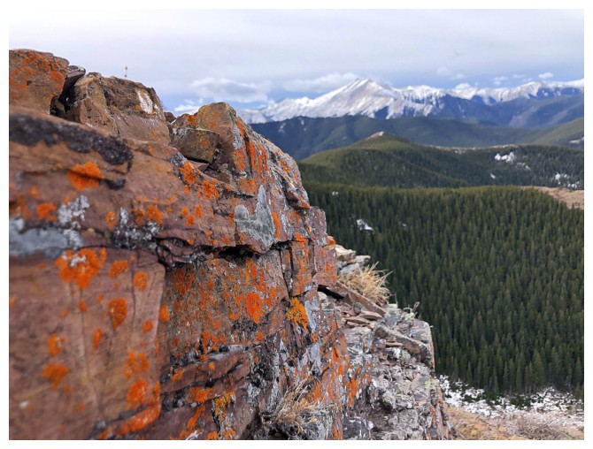 This time I would try to stay in the drainage,
east of that ridge.
This time I would try to stay in the drainage,
east of that ridge.
Getting into the drainage was easy and
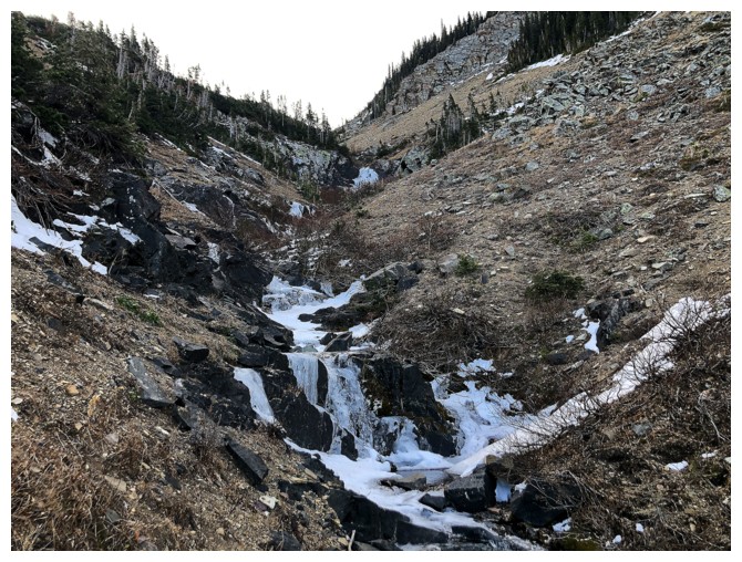
following it up for the lower half, likewise. The middle section provided some
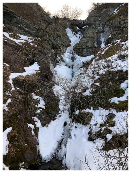
interesting but fun challenges alongside a few partially frozen waterfalls; and then back
to easy for the final ascent to the ridge.
Although the summit of Prairie Bluff was now
close, I had spotted what appeared to be a super short route to the summit of
nearby Whitney Creek Mountain. 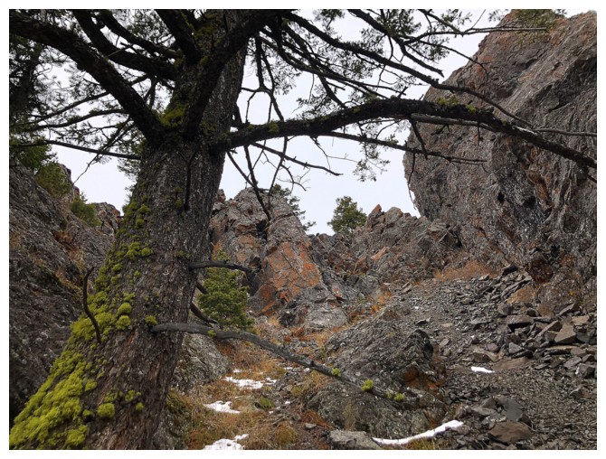 The summit wouldn’t be a new one for me, but the
route would be. So, instead of continuing to the summit of Prairie, I descended
the route Mark and I had taken, and then drove to a gas well at the base of
Whitney’s east side.
The summit wouldn’t be a new one for me, but the
route would be. So, instead of continuing to the summit of Prairie, I descended
the route Mark and I had taken, and then drove to a gas well at the base of
Whitney’s east side.
The ascent went extremely well – steep forest,
followed by a super cool scramble up through a rock band, and then easy terrain
to the top. The rock band was so interesting, I went up and down it twice,
taking different routes each time. For a lowly peak not reaching an elevation
of 2000 m, the summit view was quite respectable, though clear skies would have
been nice.
On descent, I followed the ridge south to avoid
the aforementioned rock band, then found a simple route down through the
trees. It took less than 40 minutes to get from the summit to my vehicle.
Overall, an excellent day for exploration.
After two ascents of Whitney with overcast skies, I’ll be waiting for clear ones
for #3.
Prairie Bluff exploration
The ridge Mark and I ascended in 2010
In the drainage below the ridge
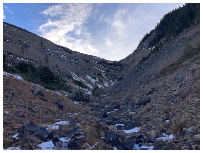
The easy section
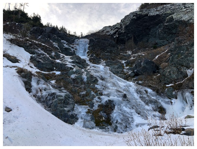
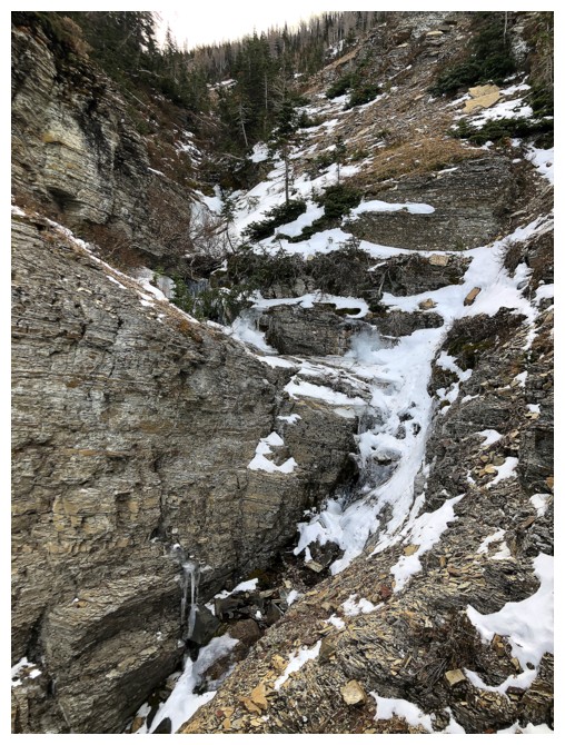
The first of several small frozen cascades/waterfalls
The second
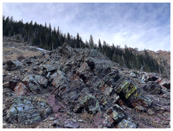
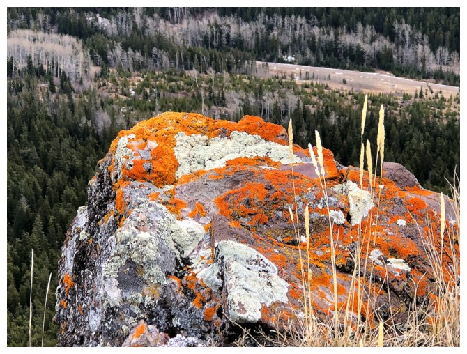
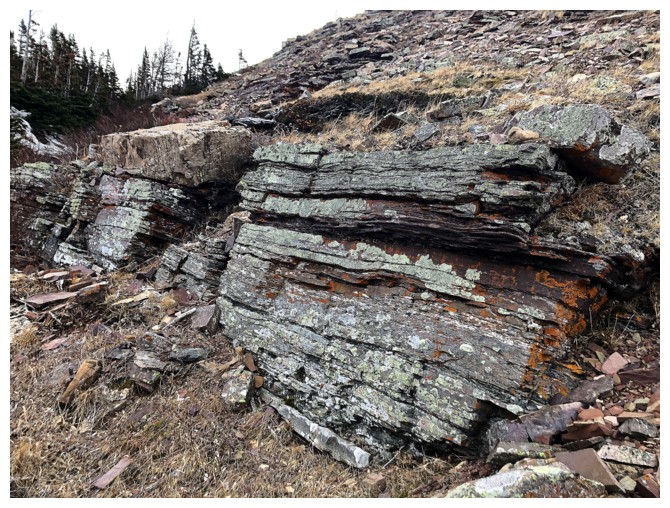
Typical colourful rock of The Castle, but sadly Sun-deprived
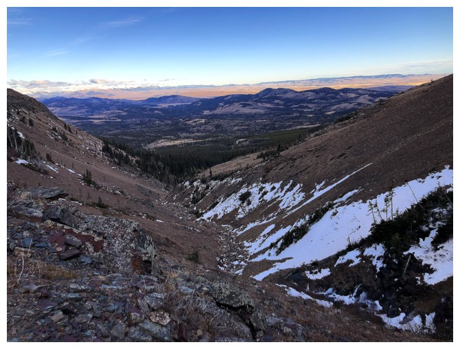
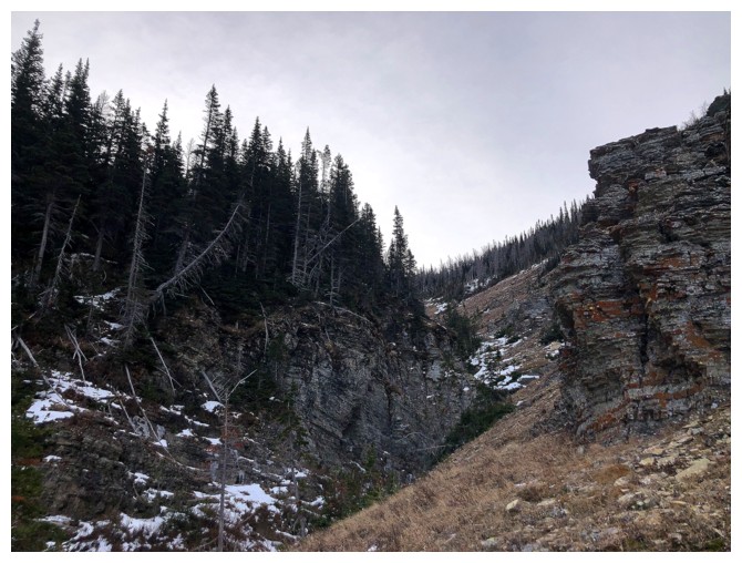
Looking back down the drainage
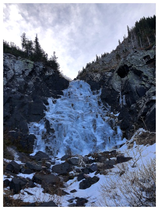
The third ice feature
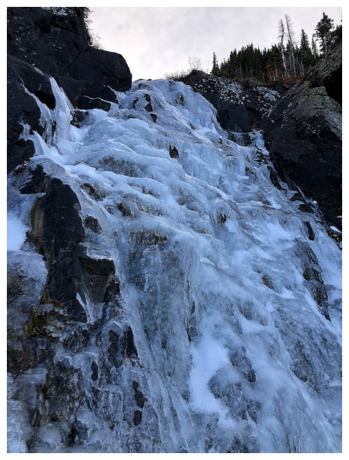
If more fully formed, this one could be ice-climbed

The route I took to get above the fall
The start of the more challenging section
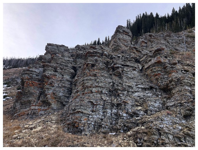
More rock that I wish was seeing the Sun
Short reprieve from the tougher stuff
Cool rock and cool ice
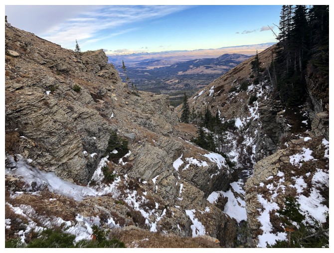
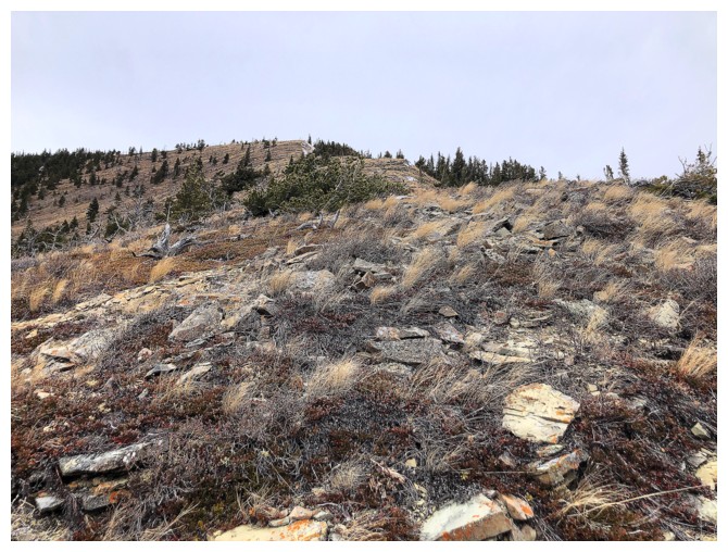
Looking back at the most difficult section of the drainage
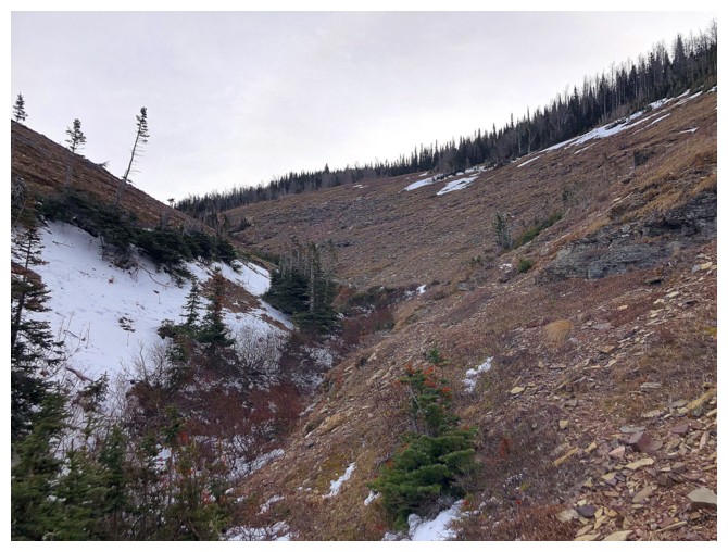
Easier terrain to get to the ridge
Same as above
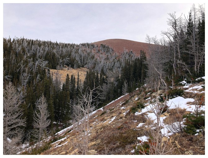
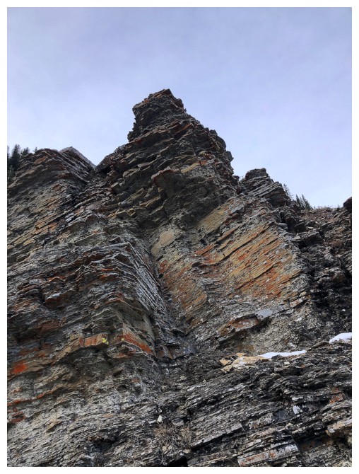
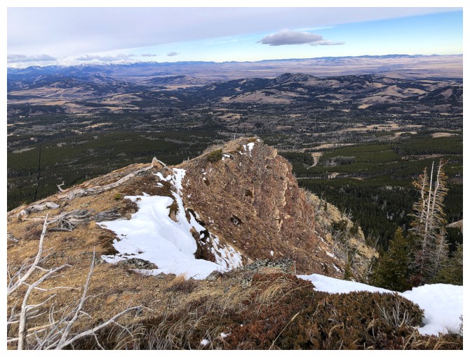
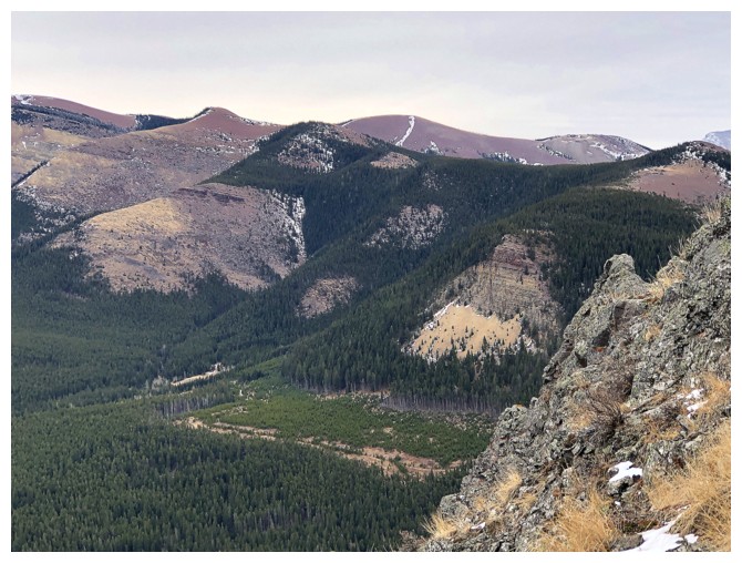
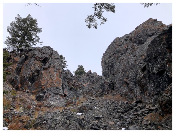
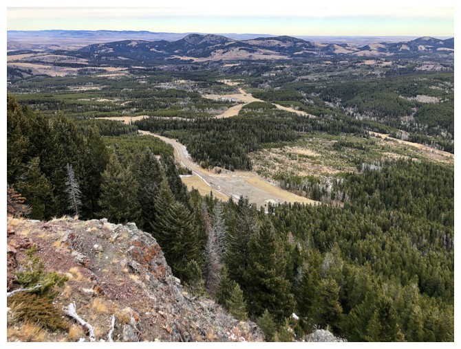
A bump on the ridge that leads to the summit of Prairie Bluff
The ridge I will soon descend at the left
The bump at the right
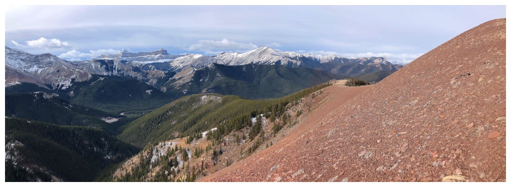
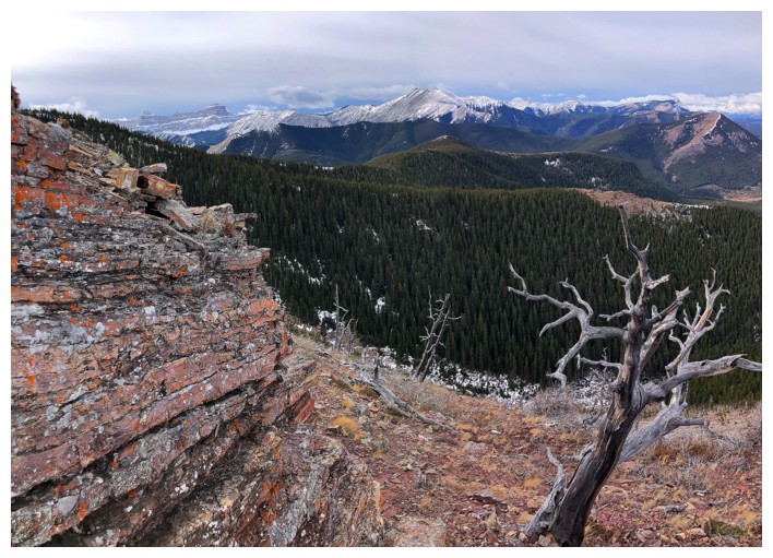
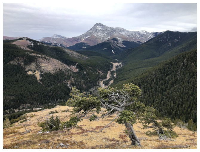
Finally on the ridge. The summit at the left and Prairie Fire at the right.
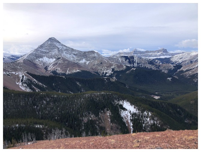
Victoria Peak and Windsor Mountain (right)
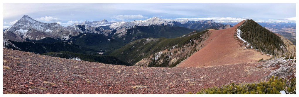
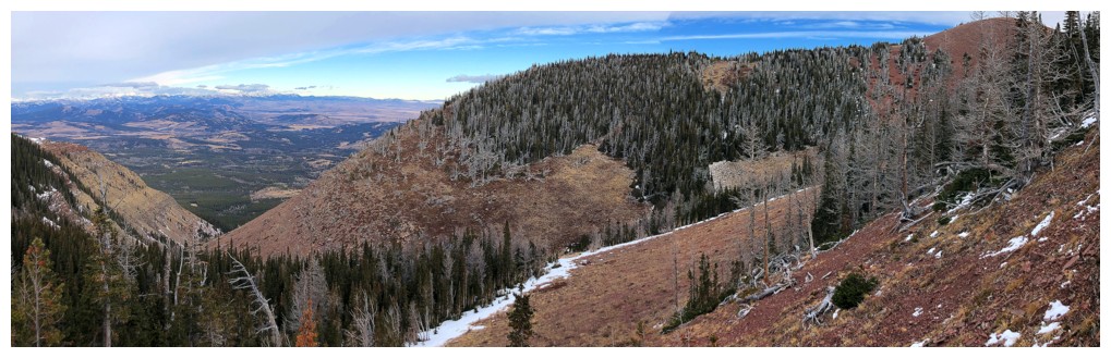
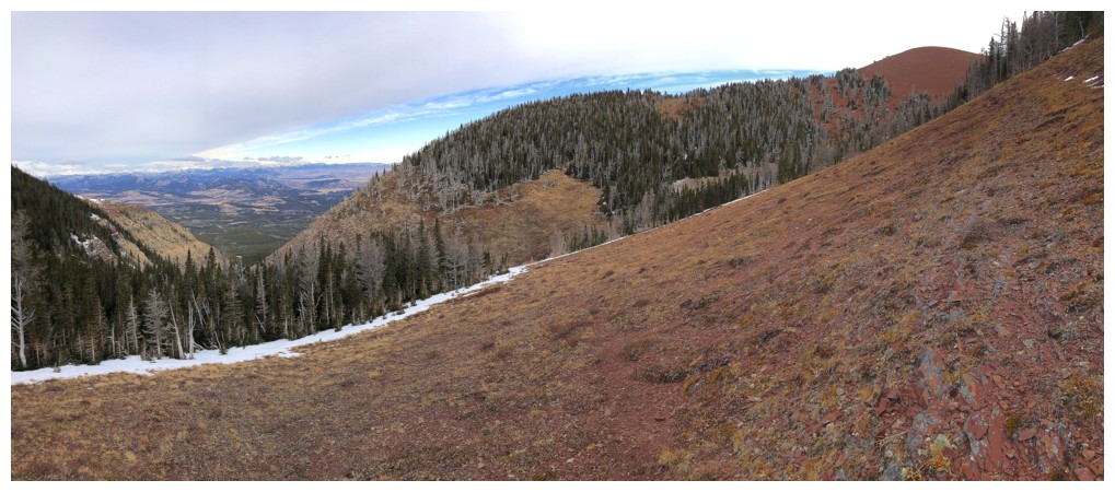
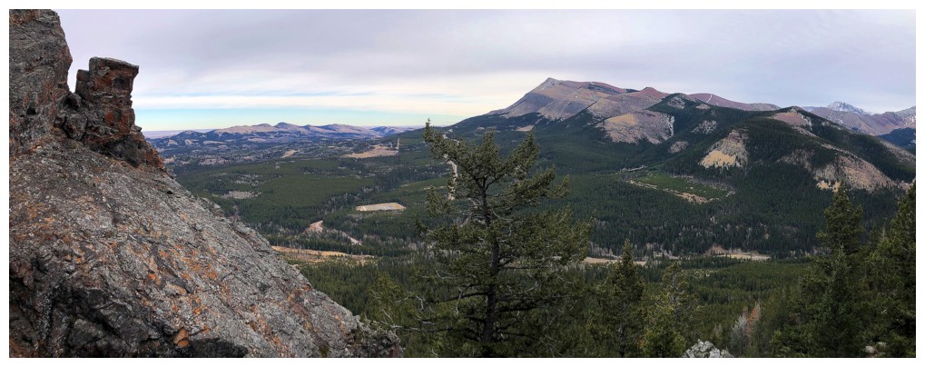
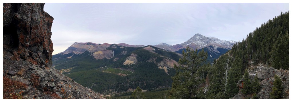
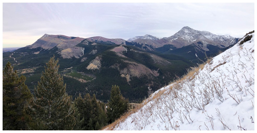
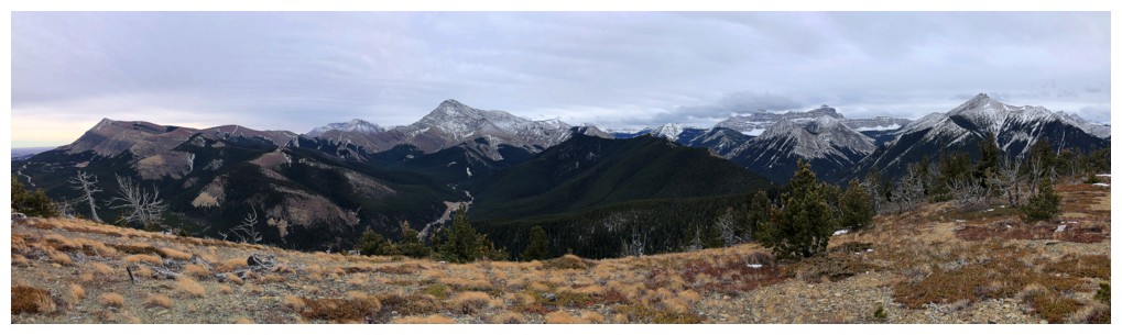
Pano from my highpoint
The first part of the descent route
The true summit is now just visible left of centre
Decided to side-slope
The summit again

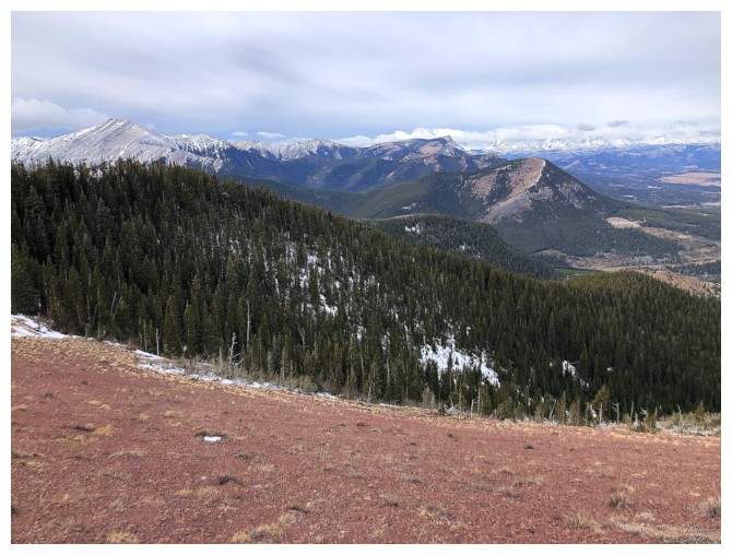
Mount Gladstone in the centre
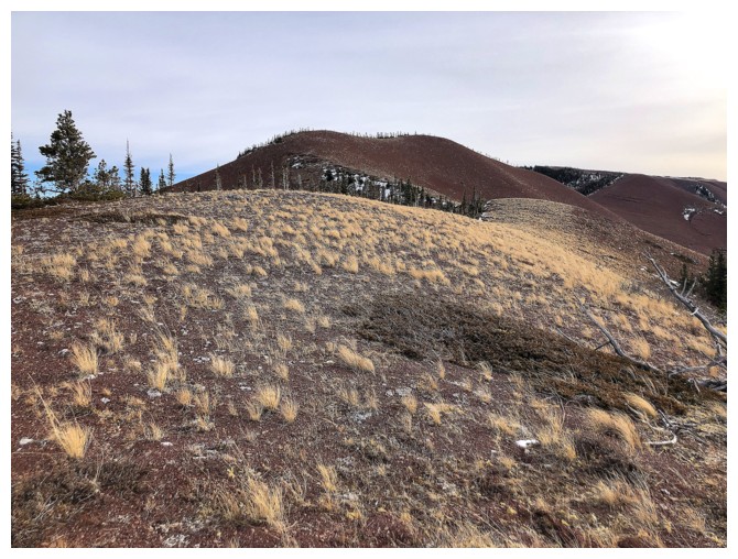
Pleasant travel along the ridge
Again, disappointed the Sun is not out
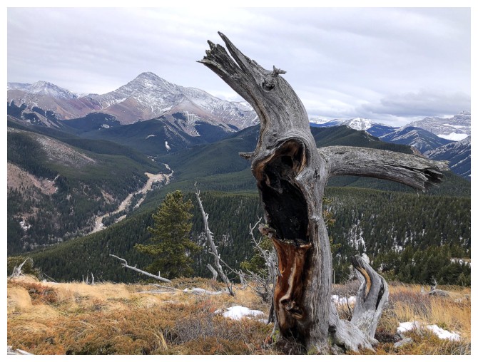
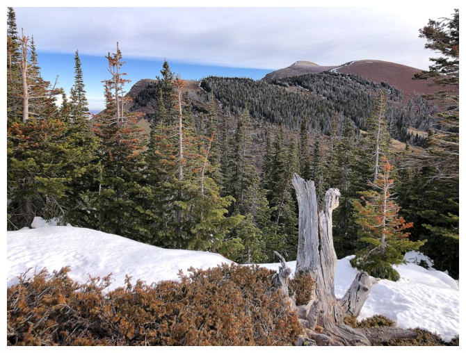
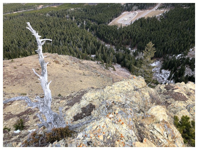
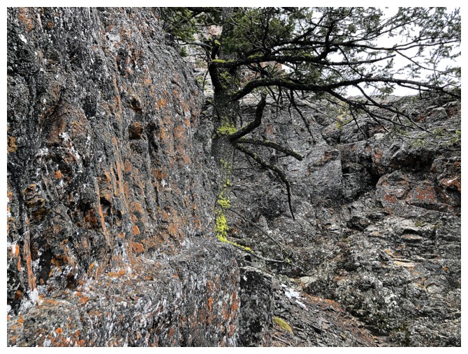
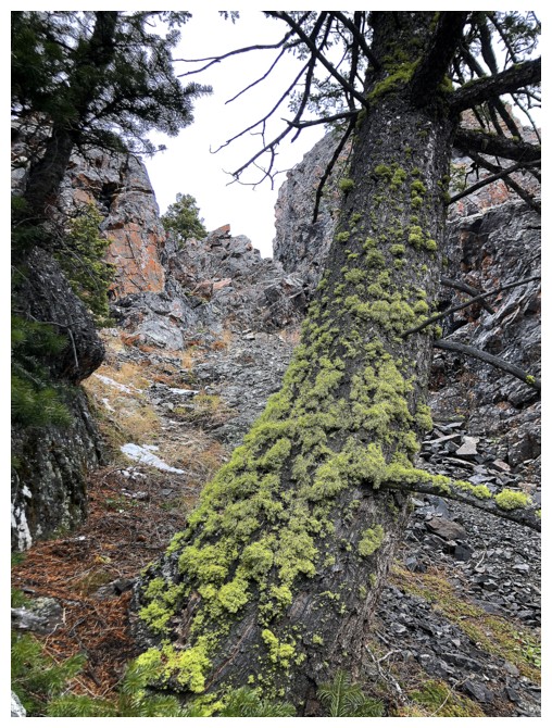
Neat tree
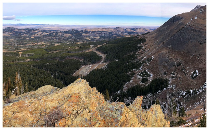
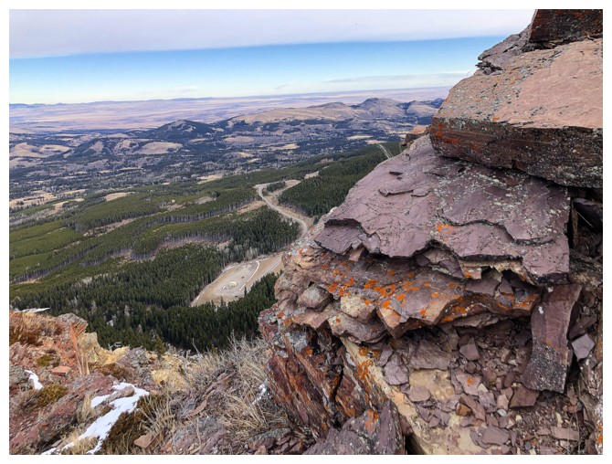
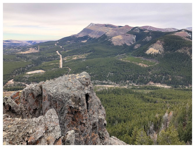
Looking down to the gas well where my car sits
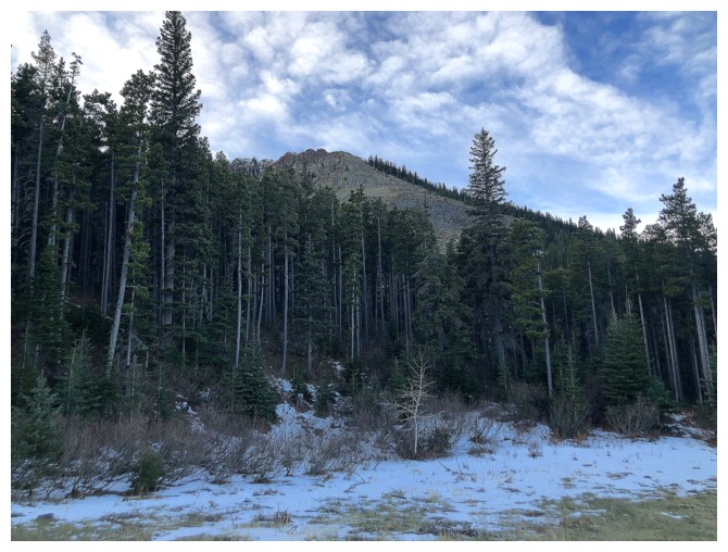
Nice autumn colours, though in mid-November there should be some snow
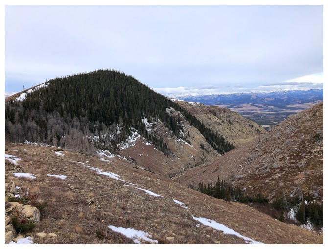
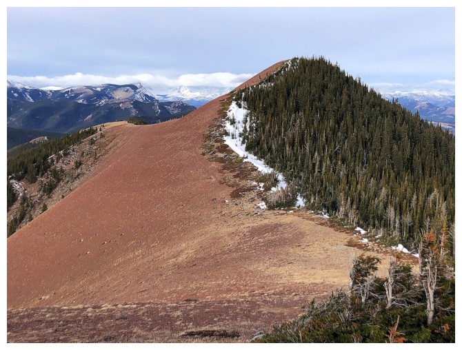
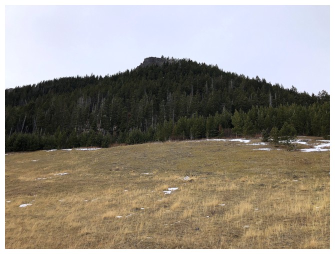
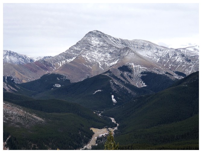
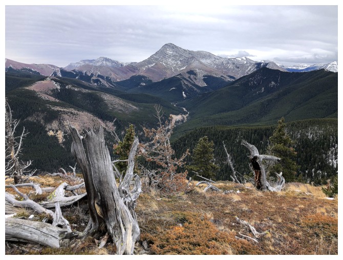
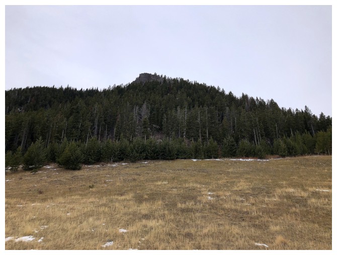
Whitney Creek Mountain is the small peak near the right
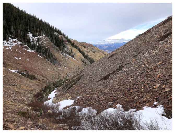
The middle section of the descent ridge
The ridge to the east is fantastic late in the day with clear skies
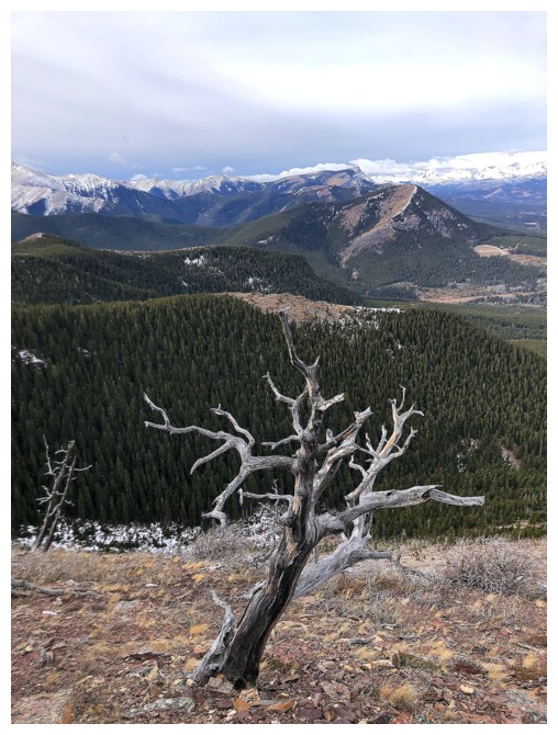
Another neat tree
Traversing below the ridge to see the rock
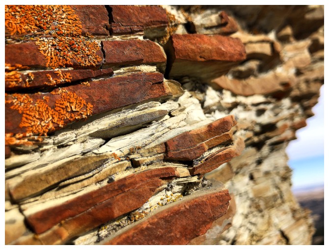
Stuff that always amazes me and that I will hopefully never tire of
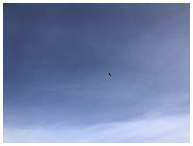
A bird
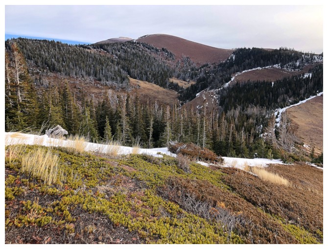
Found an easy route at the end of the ridge to descend back to the drainage
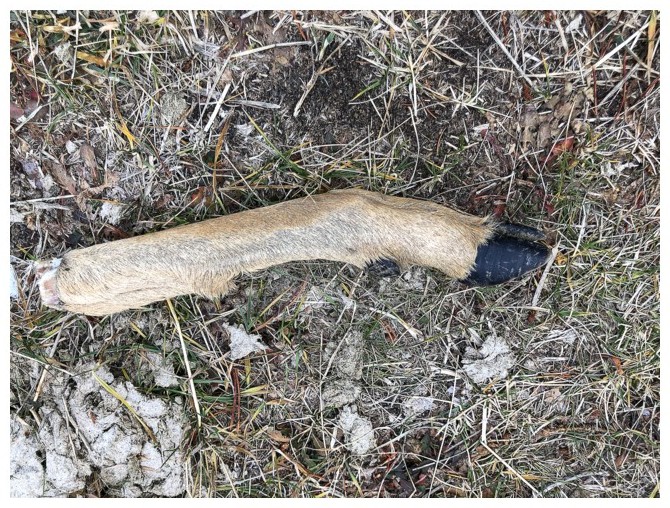
If there ever was a time for the overused "Oh, deer" pun, this is it!
Whitney Creek Mountain
II
At the base of Whitney Creek Mountain
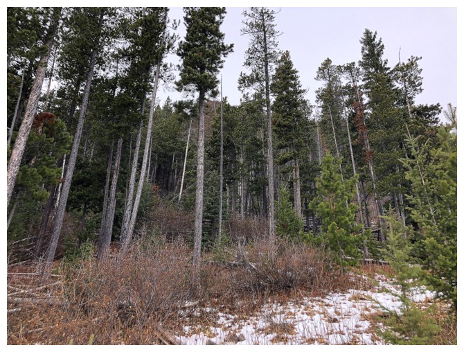
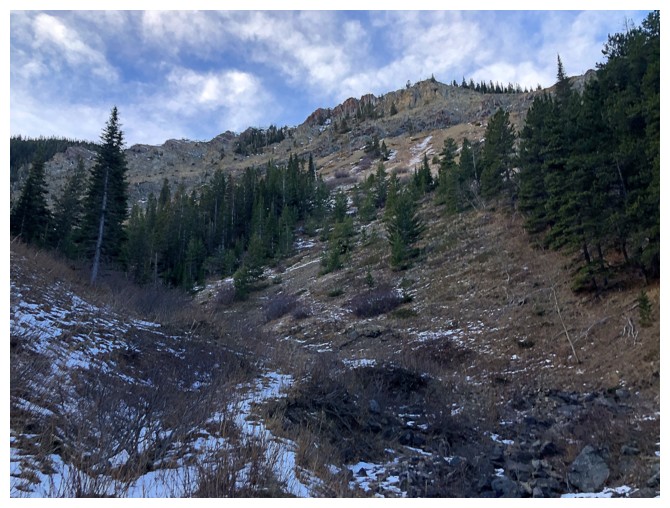
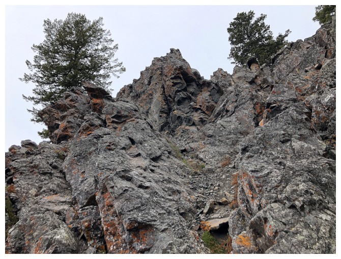
The route starts with a steep grind through thin forest
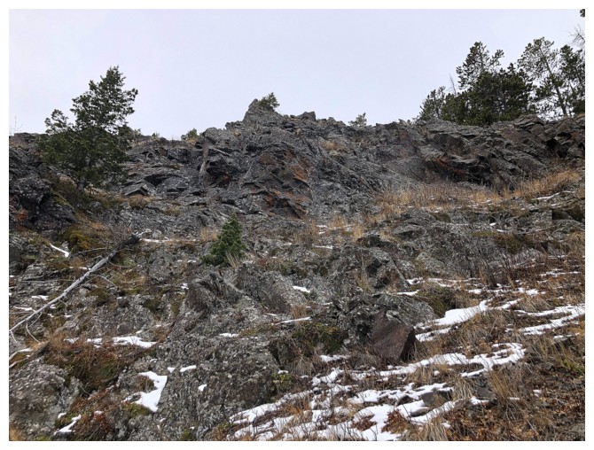
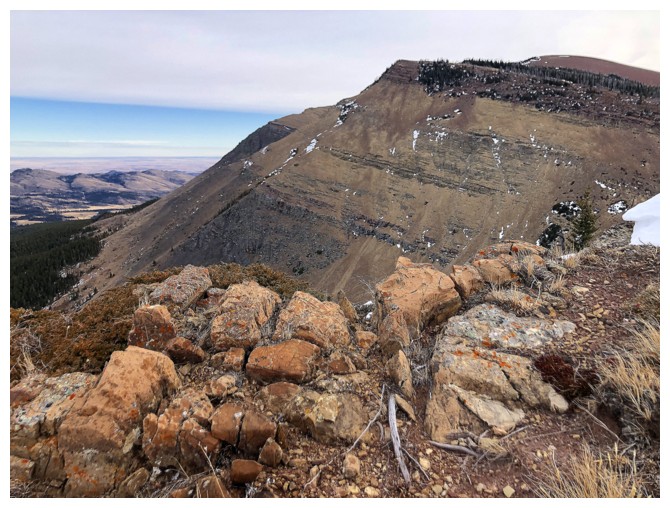
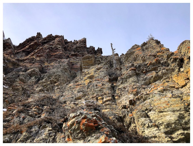
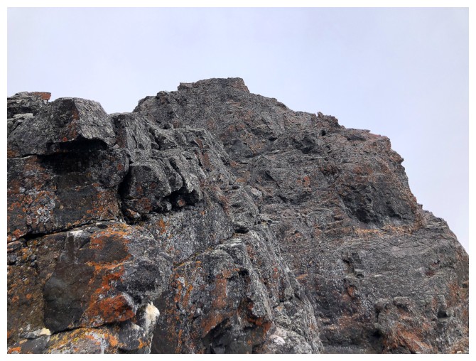
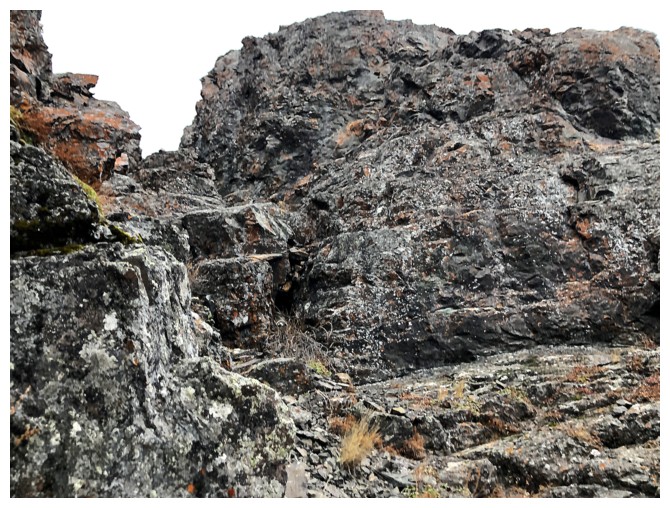
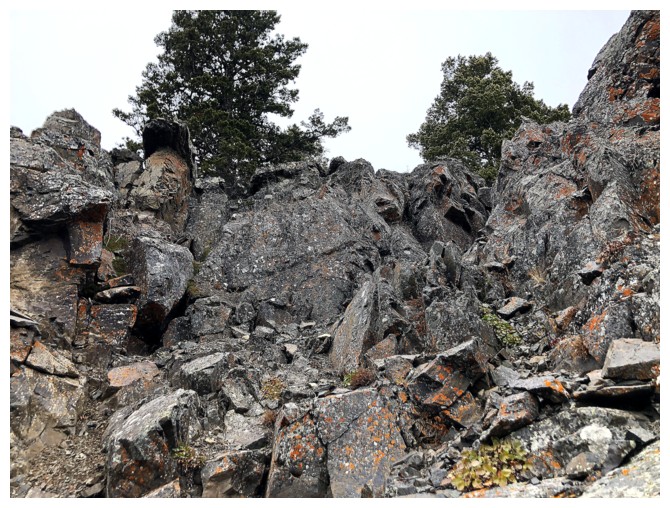
The forest gives way to rocky terrain and a significant rock band that lines the face
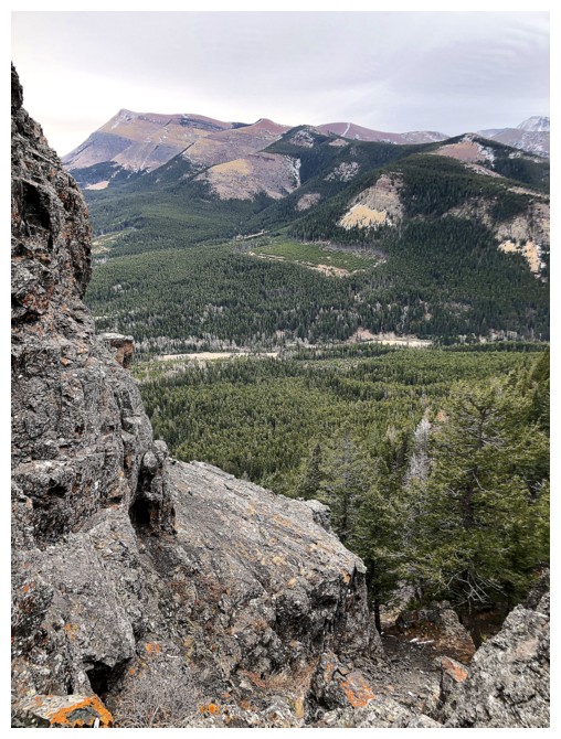
Looking over to where I was a few hours earlier
At the top of the rock band
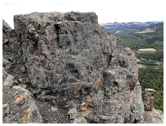
Exploring the rock from above
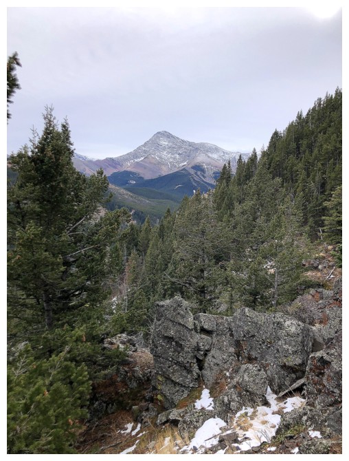
The north ridge of Victoria Peak. I've always wondered if there is a scramble route up that way.
Decided here to descend to the base of the band and try a different route up
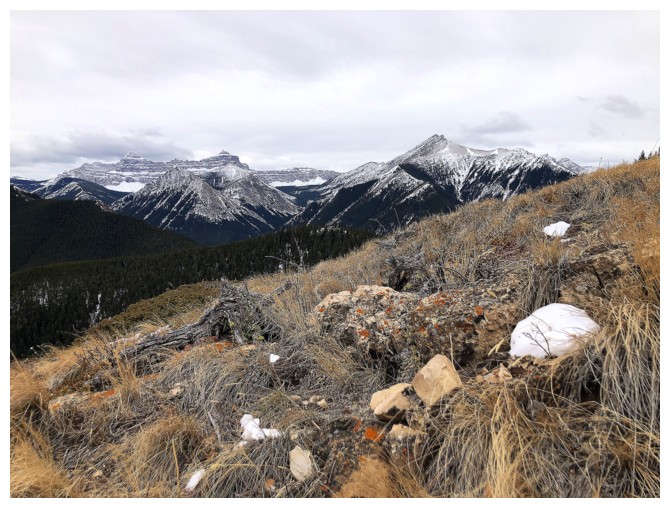
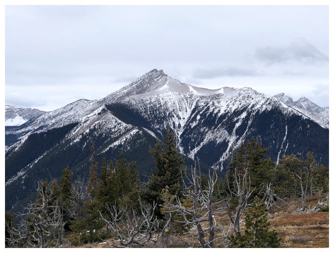
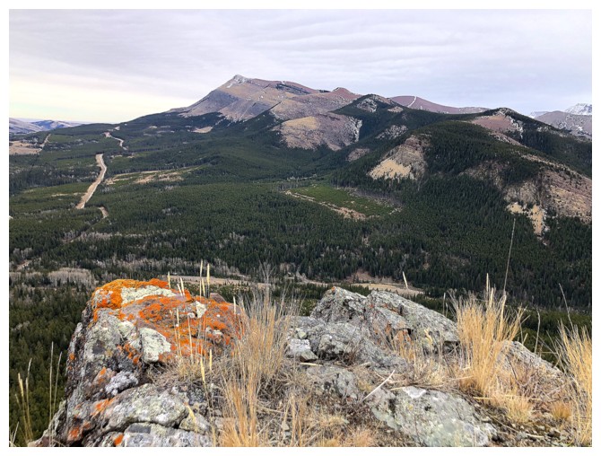
Prairie Bluff dominates the view
Searching for a route near the base of the band
There's one. And some cool moss to boot!
Heading up the weakness
Some nice scrambling on good rock
Prairie and Victoria
Getting steep near the top
Found a route up here
Looking down some of the route
And back to the top
Looking down it again
Finally some snow
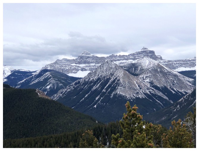
Windsor Mountain and Castle Peak (right)
A better view of Victoria's north ridge. Suddenly I'm highly motivated to try it.
Mount Gladstone. I'd definitely love a third run up that peak. The scree run down is amazing.
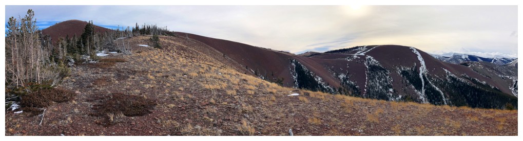
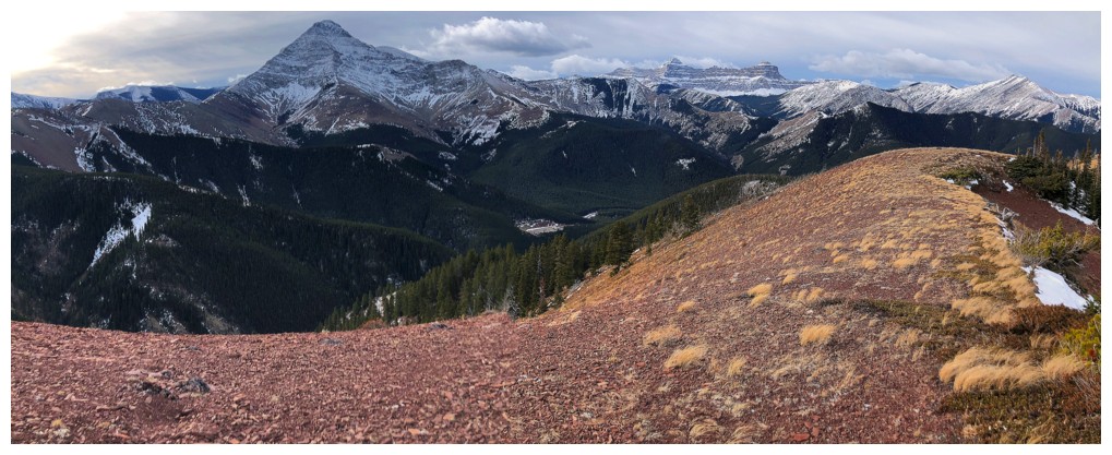
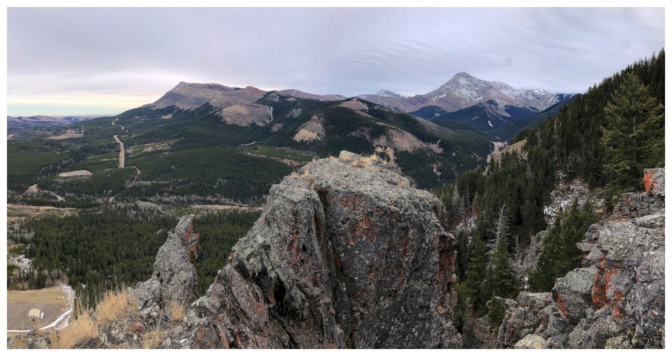
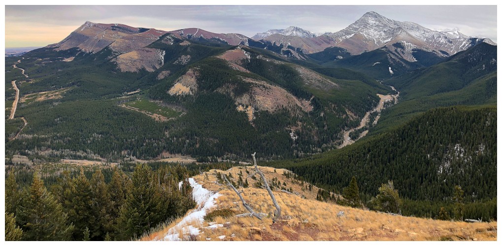
Summit pano
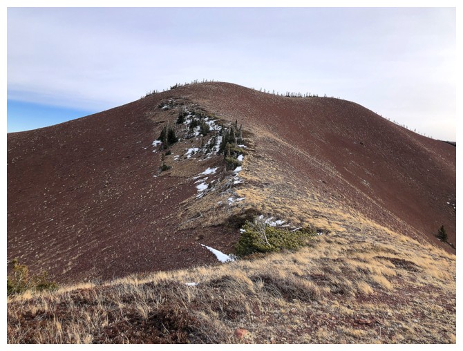
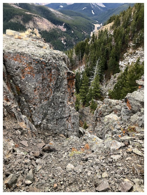
Heading down the ridge
The south ridge is super easy
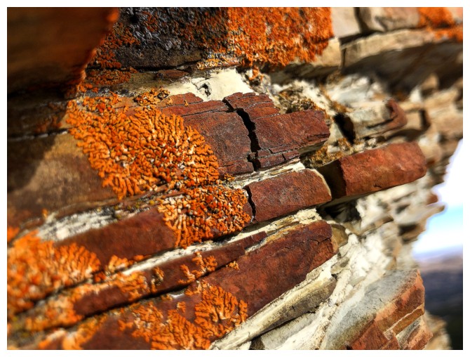
About time I ran into some more orange lichen!
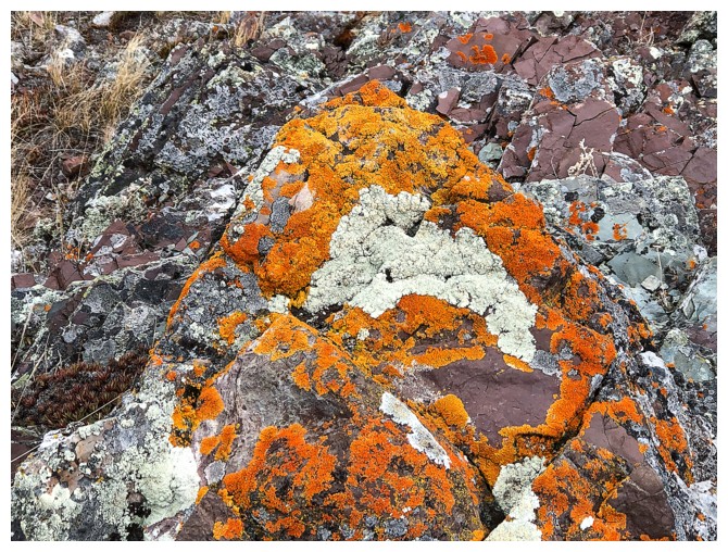
Close-up
Looking down to my vehicle, now much further to the north
Back at the start
The End
LOG