

Mount Yarrow
July
10, 2011
Mountain
height: 2379 m
Elevation gain:
approx. 780
m
Ascent time:
4:40
Descent
time:
2:45
Solo
scramble.
Yarrow
was not the original objective, as I left my car. I fully intended to
attempt
the east summit of Cloudy Ridge, as described my Mike Potter, having
failed to
find a route up the ridge several years earlier. 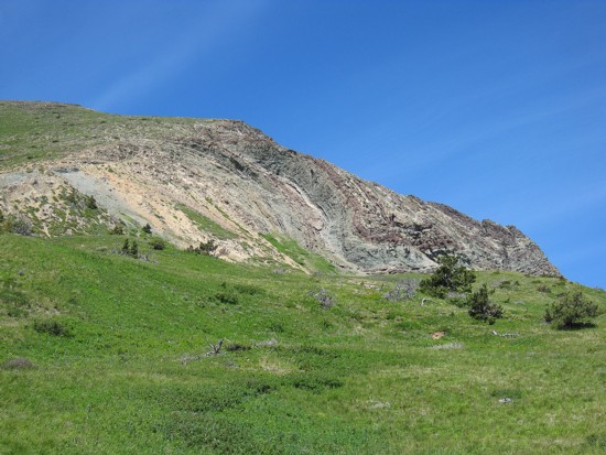 Shortly into the trip
I ran
into a very pleasant gentleman who told me about a terrific trail only
a short
distance from our present location. He informed me that the trail would
make
travel into the Yarrow Creek valley much easier. He was absolutely
correct. Not
only did it make travel easier, but it also exposed me to a couple of
beautiful
rocky hills on the east side of Mount Yarrow (this is the unofficial
title of a
southern outlier of Mount Roche, aka. Spread eagle Mountain {also
unofficial!},
which is really the just east end of Spionkop Ridge). Cloudy Ridge was
still an
option, however, the more I saw of the striking form and impressive
colours of
Mount Yarrow, the more appealing an ascent of the mountain became.
By
the time I had reached the bridge that one uses to avoid a ford of
Yarrow Creek
(an easy crossing, but getting my feet wet once a day in the shower is
more
than enough for me) I was sold on Mount Yarrow. 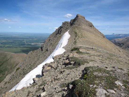 The east ridge was an
obvious
“no go”, as Blair Piggot and Dave Stephens had completed an ascent via
this
route, rating it at 5.6, but the topo map depicted less steep terrain
on the
southwest side of the peak.
I
followed the gas road to its termination, again impressed en route by
the
colours and variety of rock on Yarrow. After bashing through a
deceivingly long
section of fairly dense bush I found a dry, water-worn drainage and
started up.
The drainage was fantastic, somewhat reminiscent of the steppy Mount
Drywood
ascent drainage. It went up for a surprisingly long vertical distance.
Reaching
the ridge, I found a large, mostly vertical band of rock guarding the
upper
slopes. Although there were several potential weaknesses in the band I
ended
traversing a fair distance below it, until an easy route was revealed.
Above
the band a scree slog led easily to the summit.
The
summit view was a little disappointing due to cloud cover. Mark and I
had
experienced the same thing on Roche several years earlier. I didn’t
stay long
and then took a different route down, descending a drainage further
west.
A decent, but not earth-shattering day.
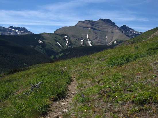
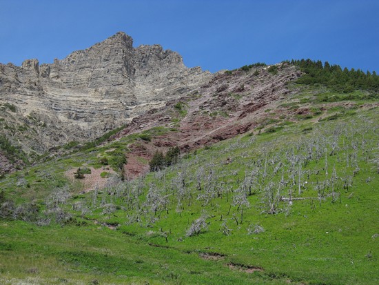
The east summit of Cloudy Ridge. The west (true) summit is at the far right
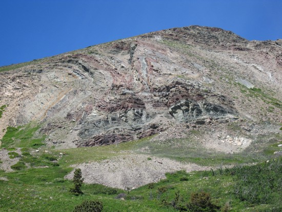
The colourful rock of Yarrow's eastern outliers
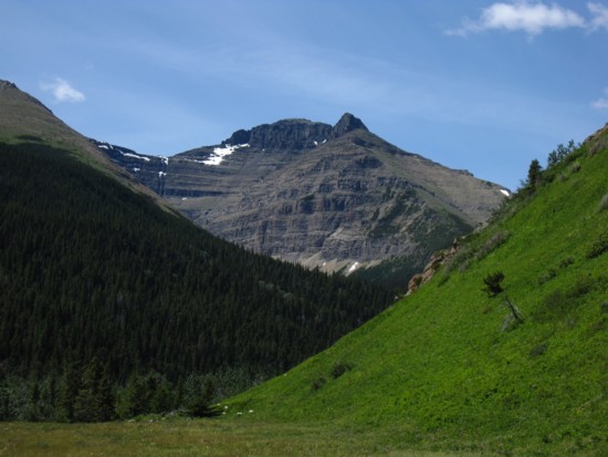
More unnamed outliers, this one is east of Mount Glendowan
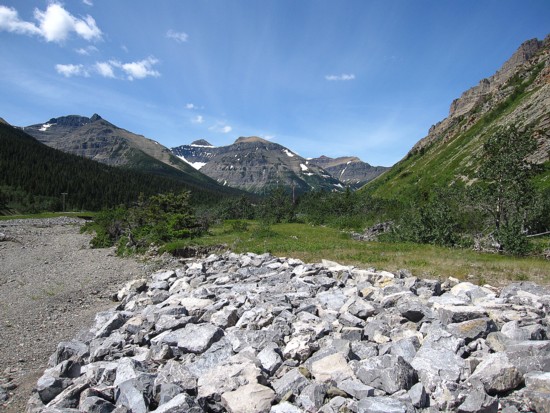
Looking west down the Yarrow Creek valley
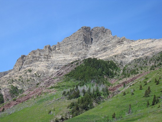
Mount Yarrow
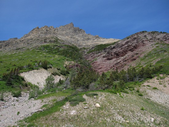
Same as above
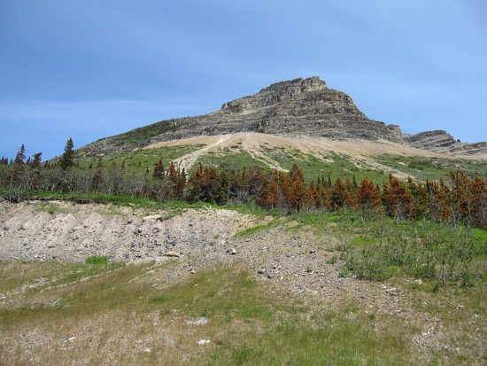
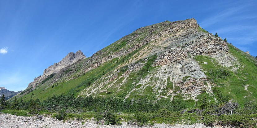
The side of Yarrow I went up
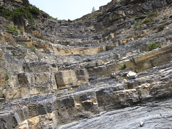
The steppy drainage
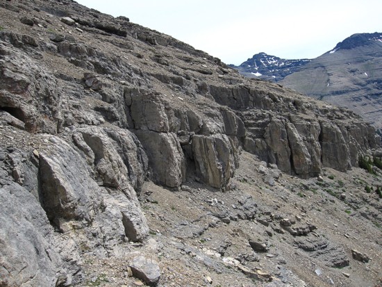
The rockband that guards the upper slopes
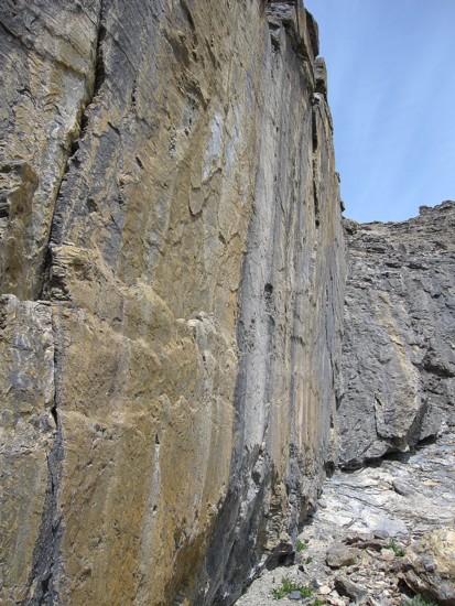
Steep, smooth rock of the band
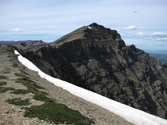
On the connecting ridge between Roche and Yarrow, looking at Roche
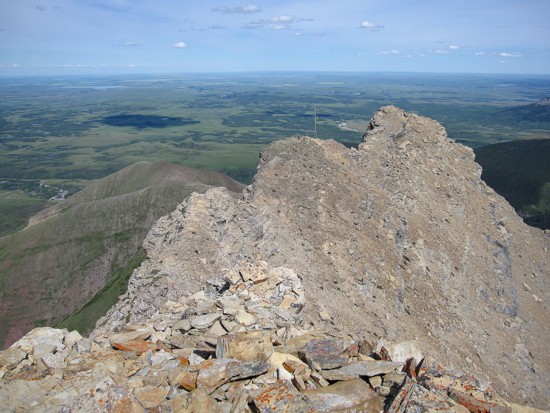
Looking down the east ridge of Yarrow
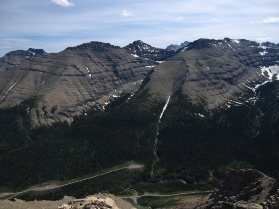
The view to the south. Dungarvan, the two summits of Cloudy Ridge and Cloudowan are visible
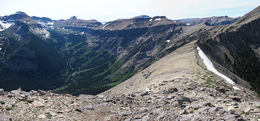
Bleached out view to the northwest. Spionkop Ridge and Loaf Mountain in the distance
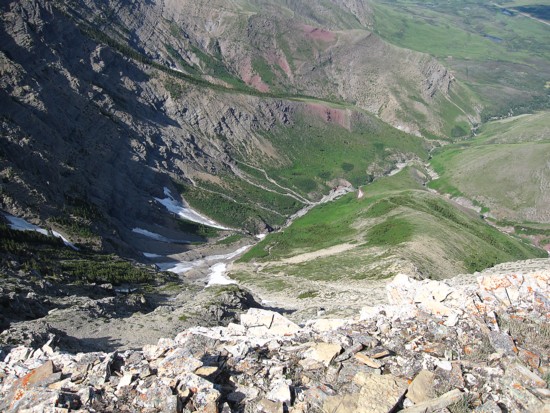
Looking down the north side of Yarrow
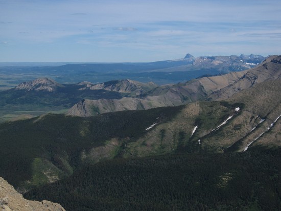
The prairies, foothills and little Chief Mountain
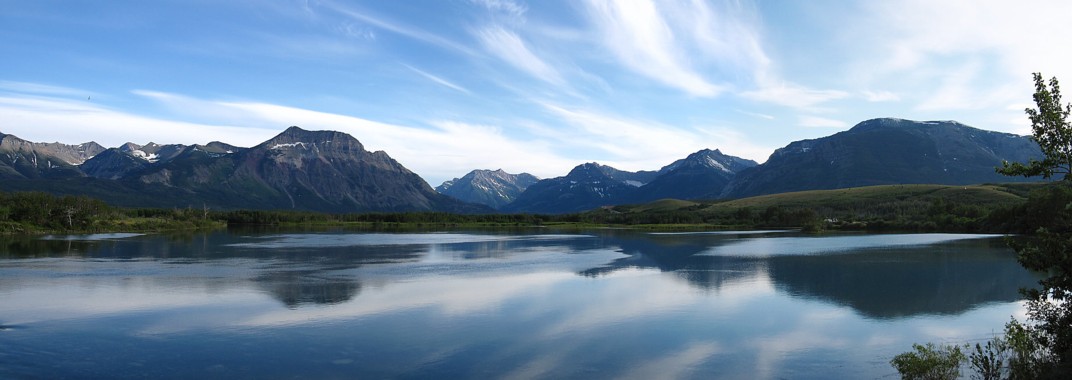
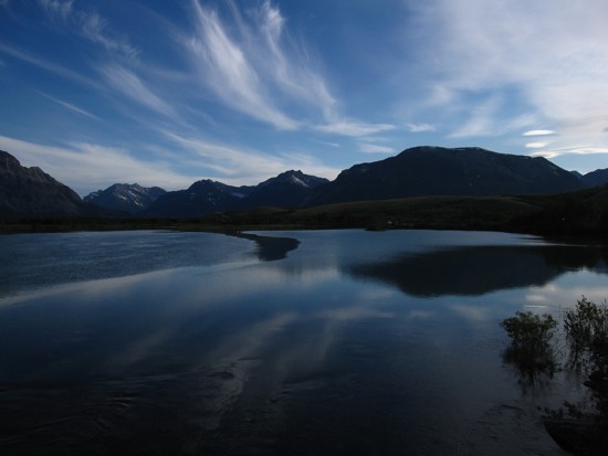
A rare partial reflection in the outlet waters of Waterton Lakes
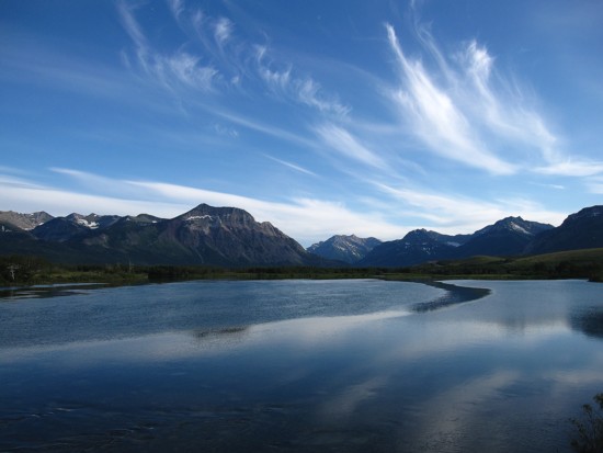
Same as above
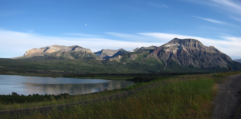
Sofa Mountain (left) and Vimy Peak
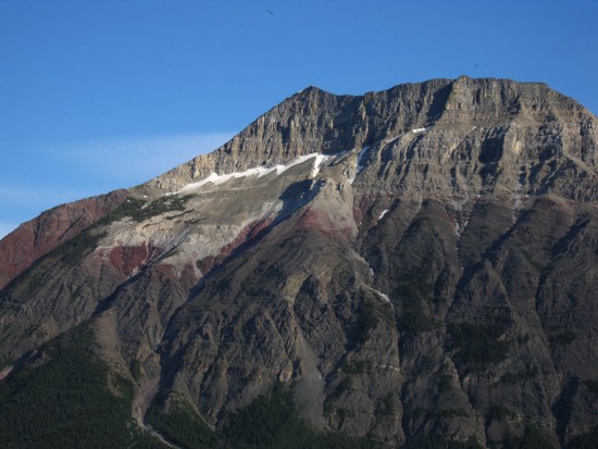
A closer look at the colourful north face of Vimy Peak