“North Kootenay Mountain II”
August 5, 2021
Mountain height: 2400 m
Elevation gain: 1050
m
Round-trip time: 6 hours
Solo scramble
My first visit to this area of the Canadian
Rockies took me to North Kootenay Pass, “North Kootenay Point”, and to the
summit of “North Kootenay Mountain”, otherwise known as Centre E3. On that
trip, en route to the pass, I had spotted a potential route up North Kootenay
Mountain that wouldn’t involve going nearly all the way to the pass. The primary
draw of this route, however, was the colourful and interesting rock high on the mountain. The
west ridge, though scenic and easy, was notably lacking in the rock that makes
the Castle so special and visually appealing.
After the enjoyable bike and hike approach, I
started ascending a dried-up drainage. Initially, the terrain was nothing to write home
about, but it quickly graduated to that level, featuring solid, steppy rock and
of course in an amazing variety of rock types and colours. And the upper section of
the mountain provided as much, if not more entertainment than I hoped for. In
fact, I ended up taking one route up, descending another and then re-ascending
the upper section using a third route. All three routes were replete with
stunning rock and some great hands-on scrambling.
There were actually a few more tempting
routes that I would have liked to have tried, but the line must be drawn at
some point!
The ascent finished with an easy hike to the top. Unfortunately,
the forest fire smoke had returned, obscuring the views and the wind had picked
up to the classic Castle level of “vicious”! As such, my summit stay was very
short. The alternate descent route I used last time worked magically again and in
no time, I was back on the North Kootenay Pass trail. The rest of the descent was wonderfully
easy.
Not the most grandeur objective in the
southern Rockies, but the route itself was awesome and totally worth the effort.
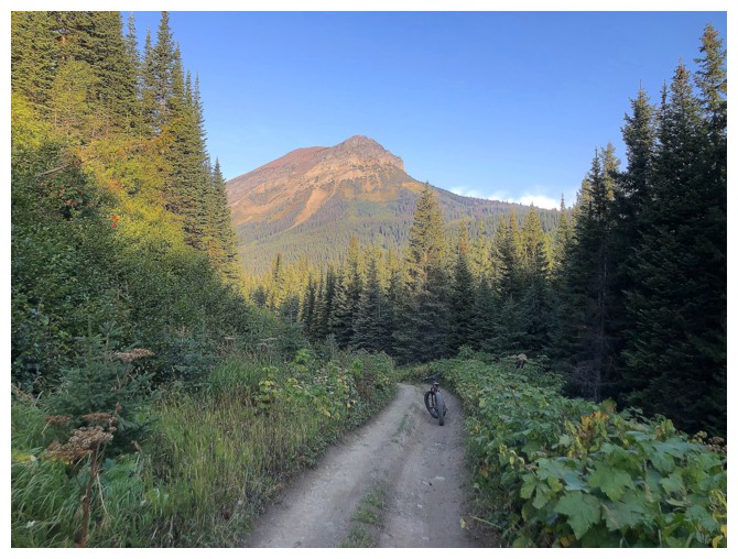
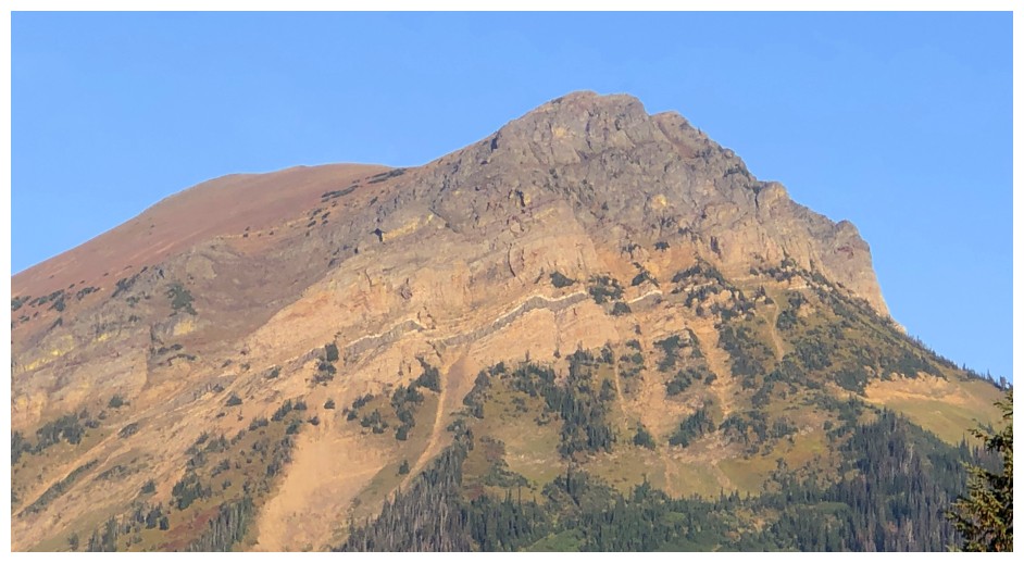
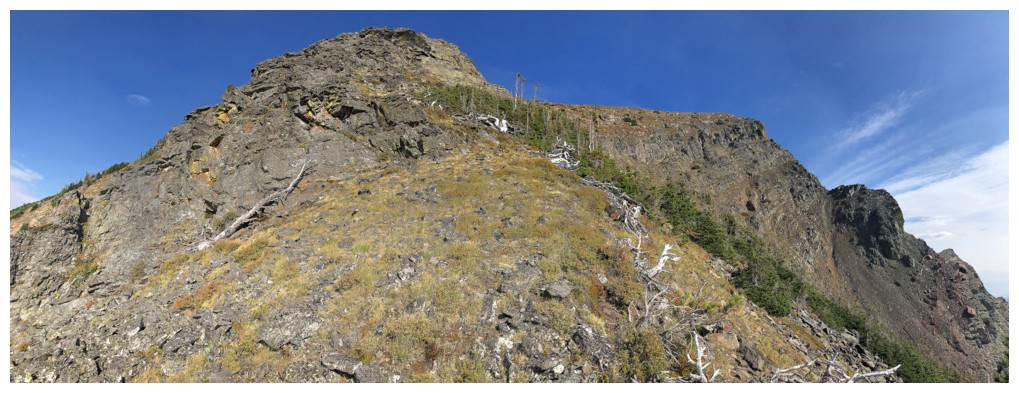
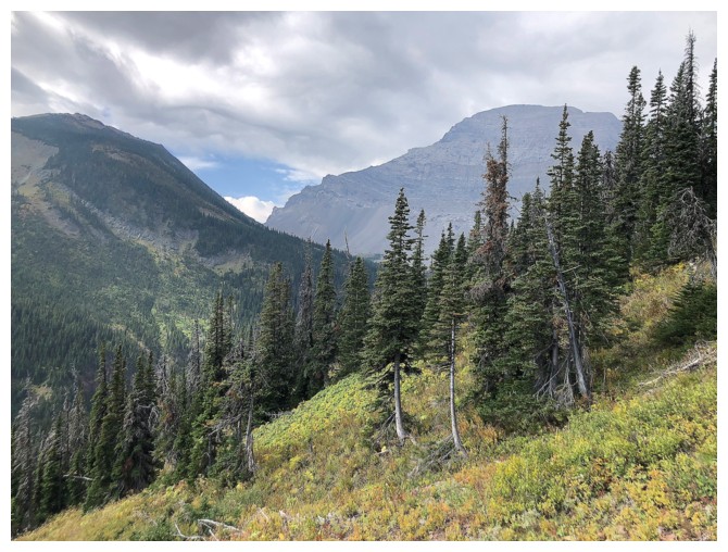
North Kootenay Mountain and my bike on the terrific North Kootenay Pass Trail
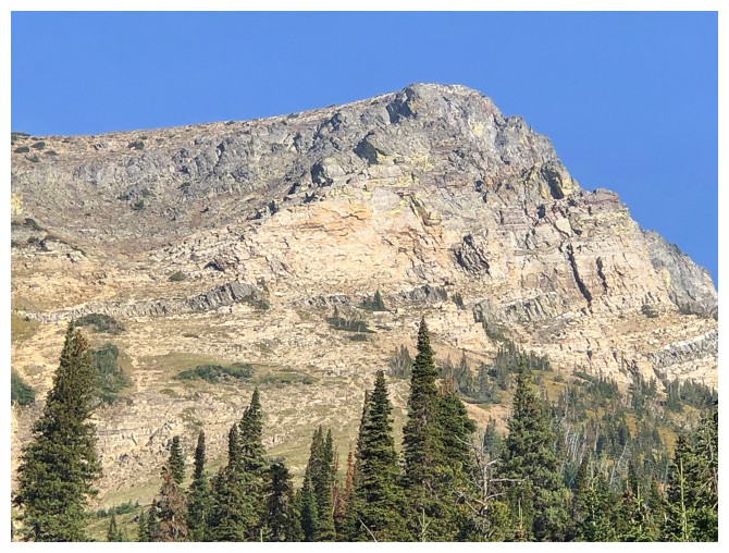
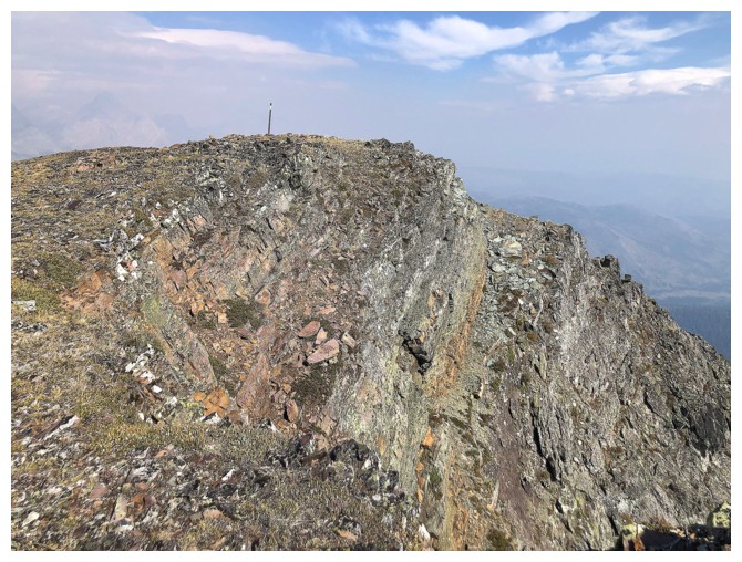
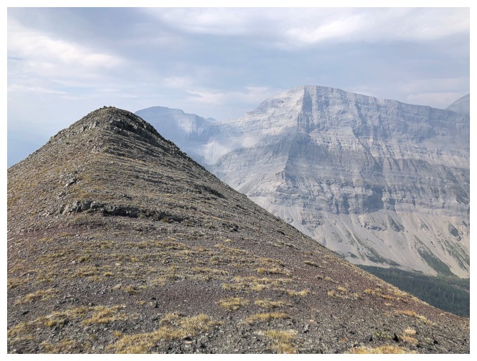
Close-up of the far east end of the mountain
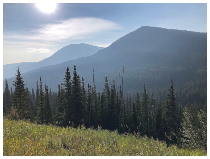
A hazy view of Mount McCarty at the left
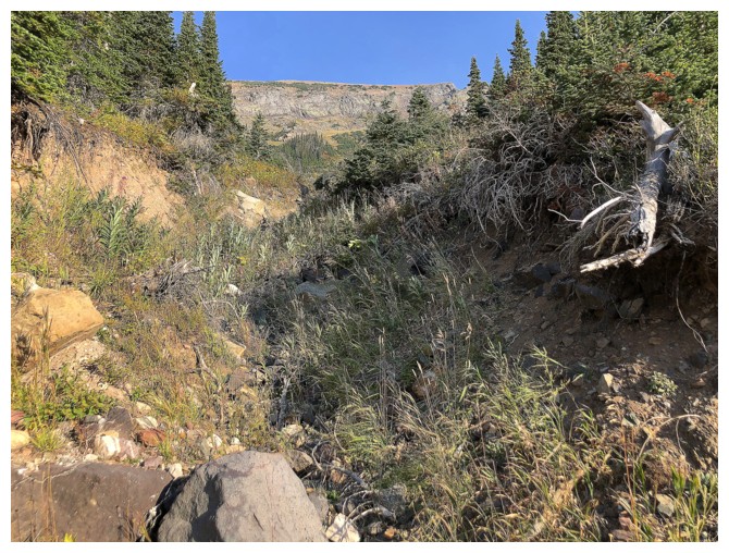
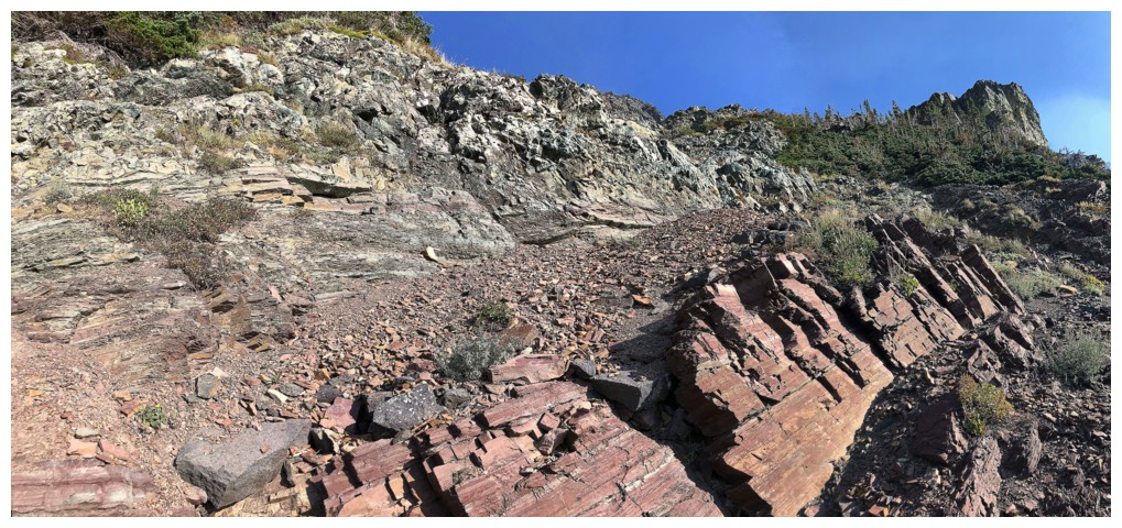
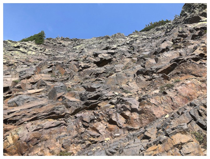
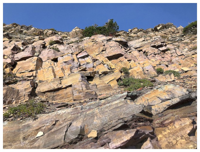
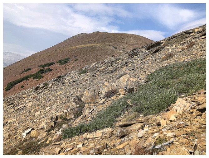
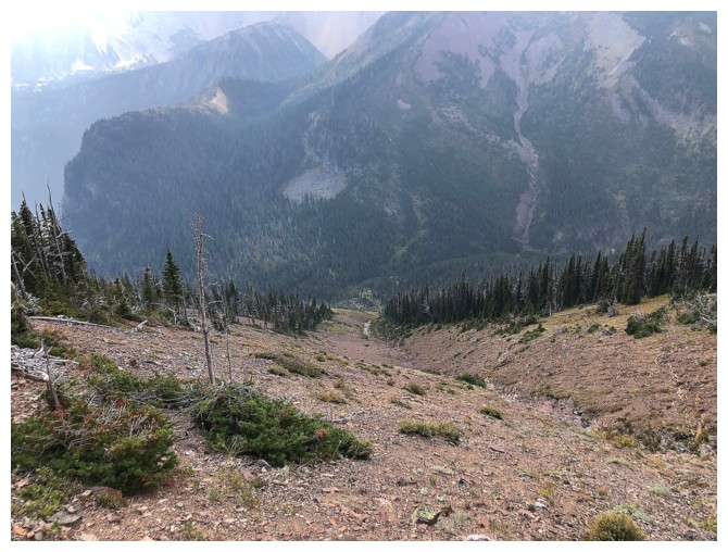
The ascent drainage. Doesn't look great from here, but within 10 minutes the terrain improved considerably....
... to this
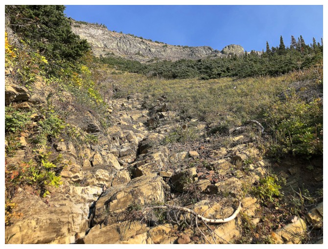
...and this
...and this
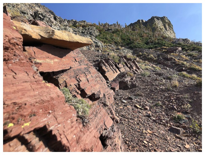
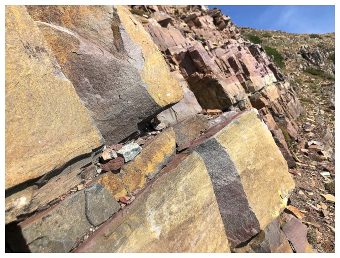
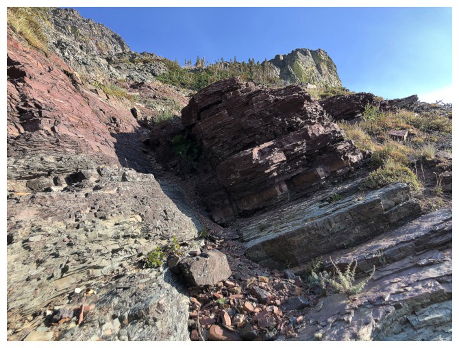
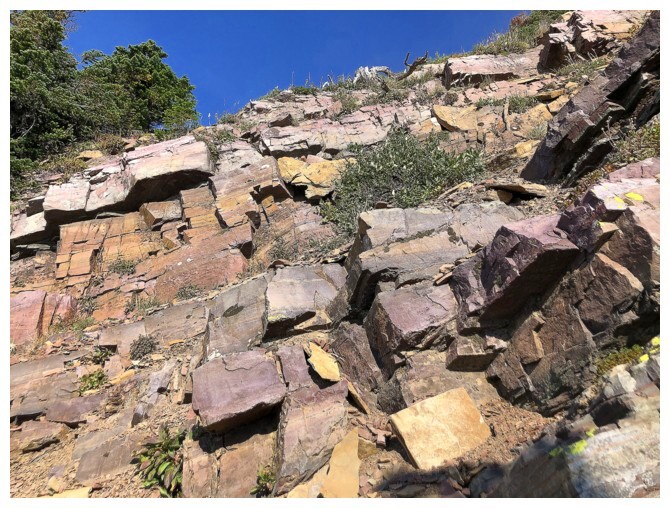
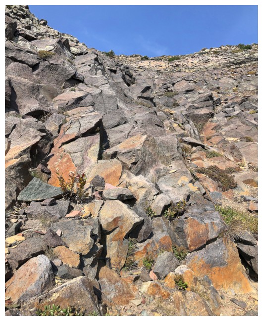
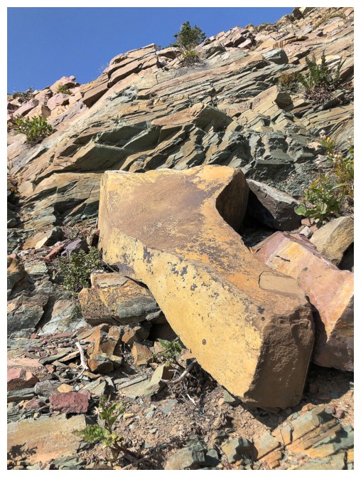
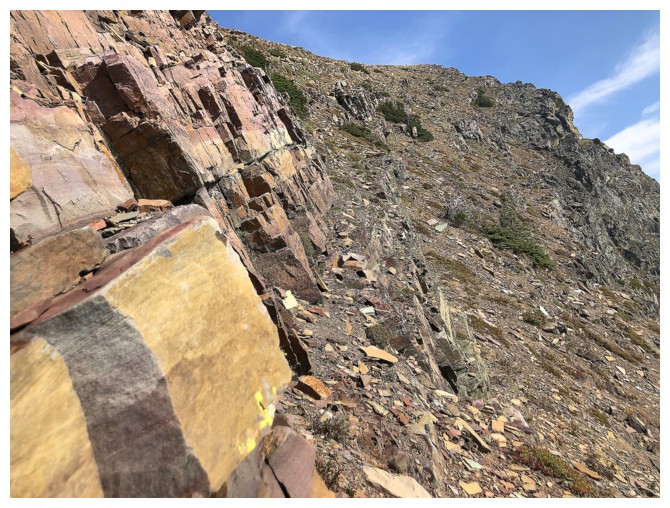
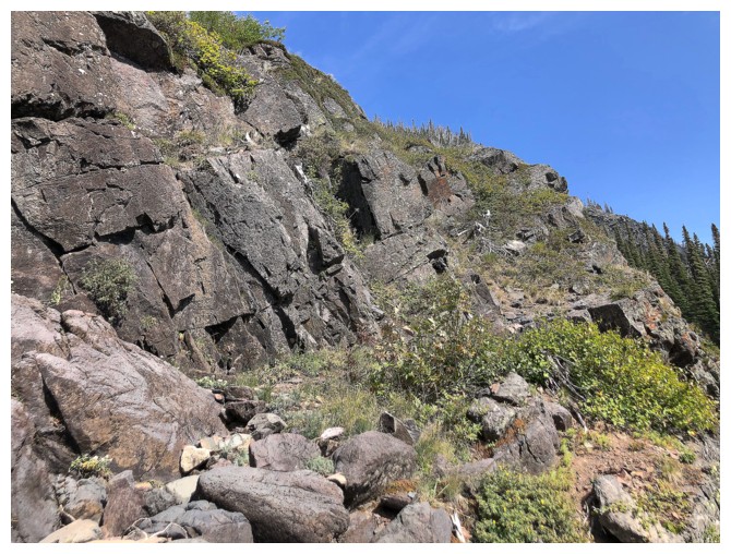
About time some red argillite made an appearance!
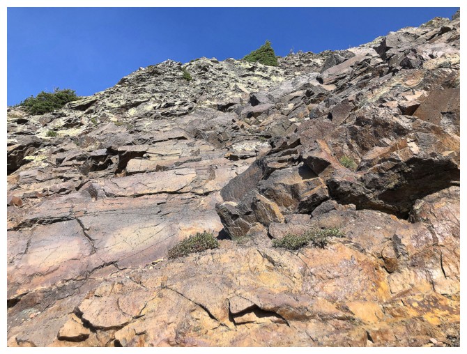
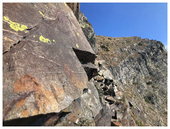
Rock that is both solid and colourful. I scrambled down this section after taking a different route up.
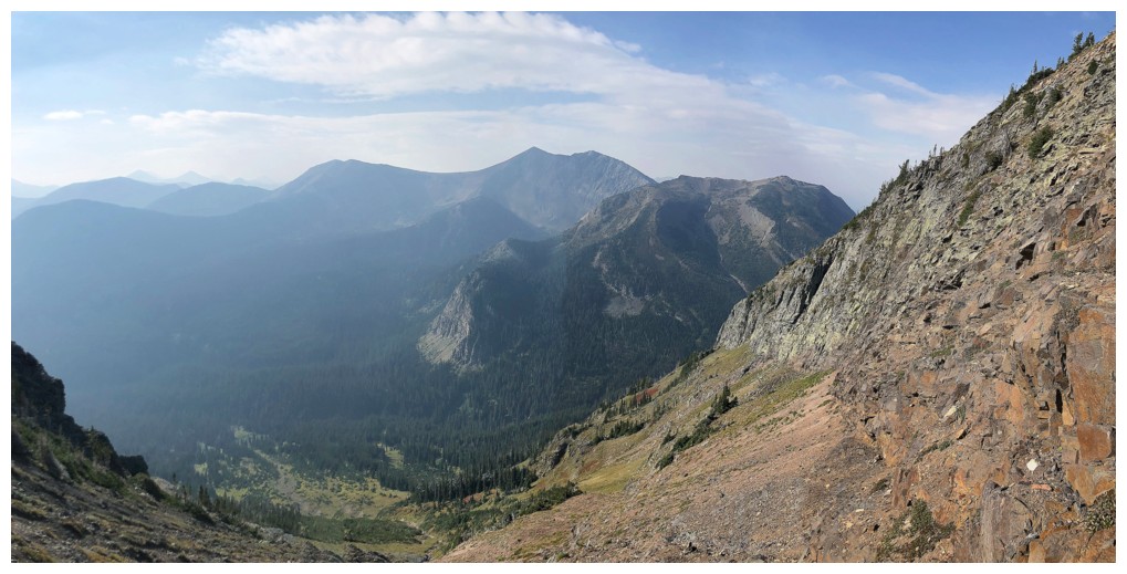
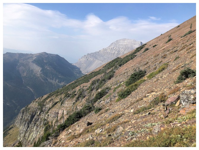
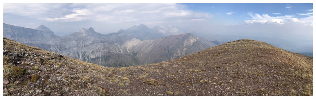
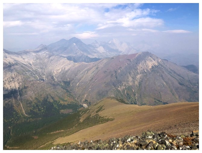
Another hazy view to the west. Hollebeke Mountain (centre) is a seriously cool mountain.
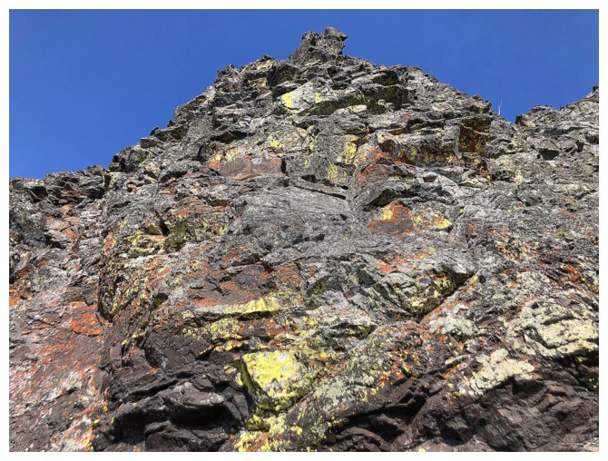
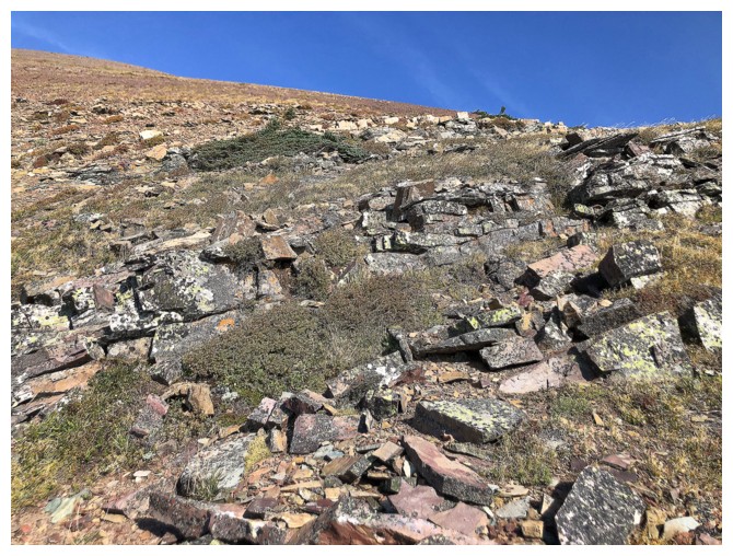
Obligatory lichen-on-dark-igneous-rock shot
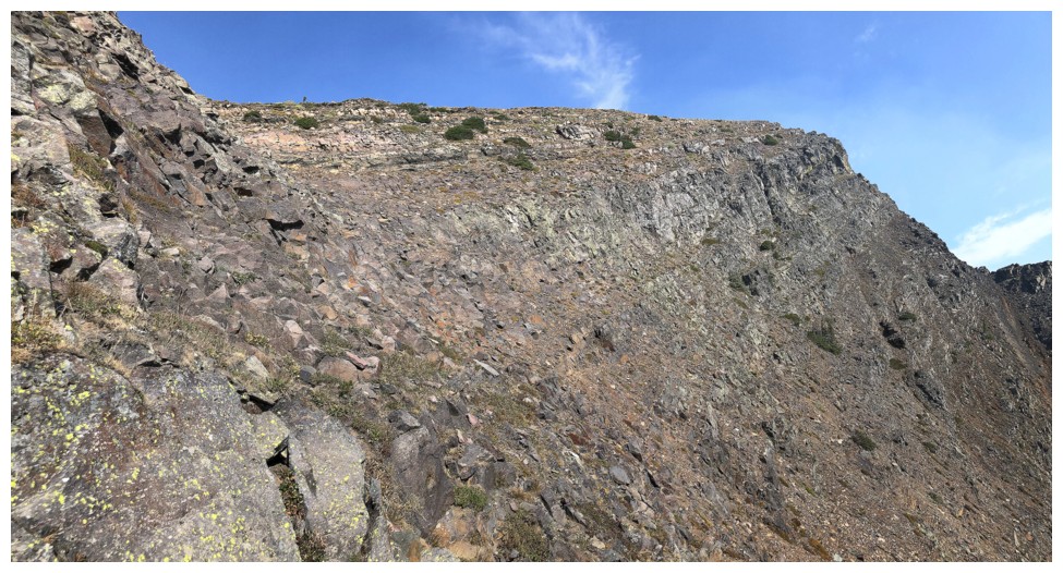
At one of many shoulders on the mountain. I went straight up here,
descended the left side, then came back here and went up the right side
of the shoulder.
Straight up provided some entertaining scrambling
Looking over to the right side route
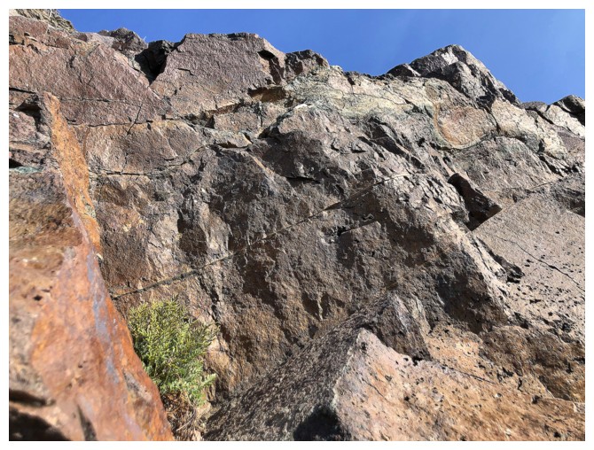
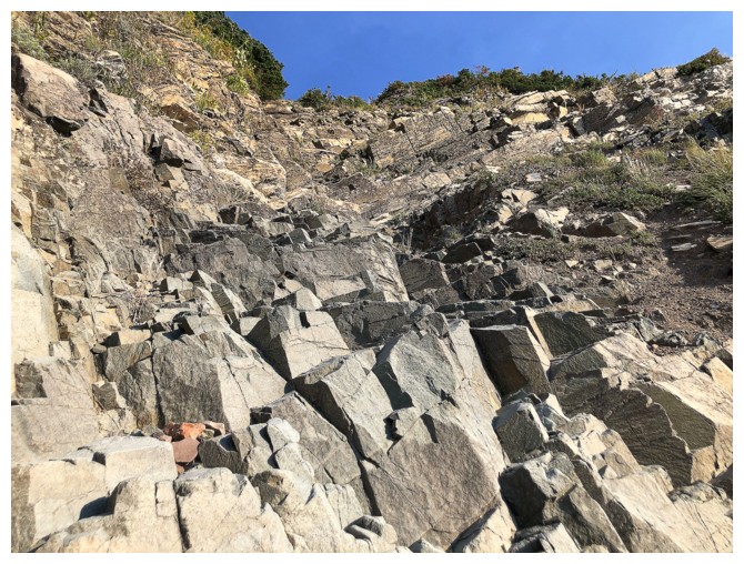
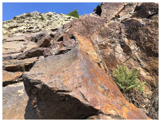
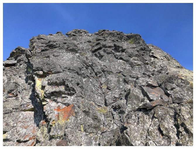
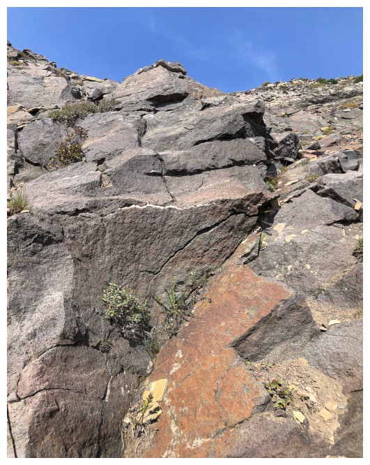
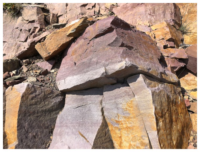
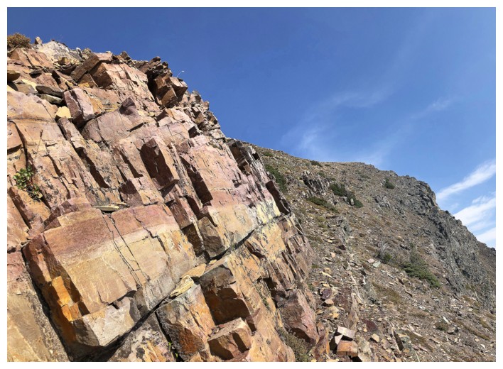
Super solid rock
At the top of the first ascent route
Here, I traversed over to the left side and descended back down to the bottom of the rock band
Descending the awesome rock
Looking back up the section I descended. Going UP this section would be way more fun!
Back on the shoulder and heading over to the easy right side
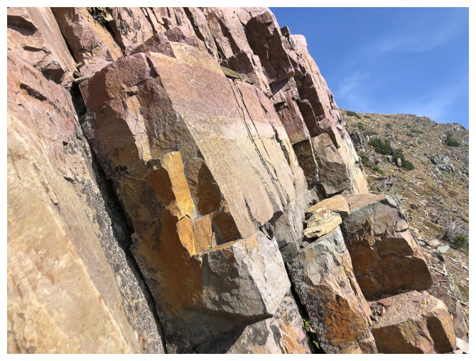
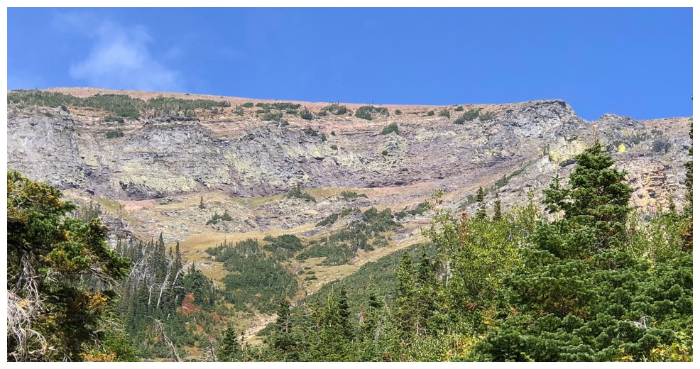
This next section was definitely the highlight in terms of amazing rock
Above the amazing rock, the summit lies to the northwest, but I wanted to see the far east side of the mountain first
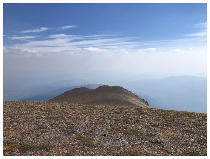
Apparently the east end is not as unpopular as I thought it would be
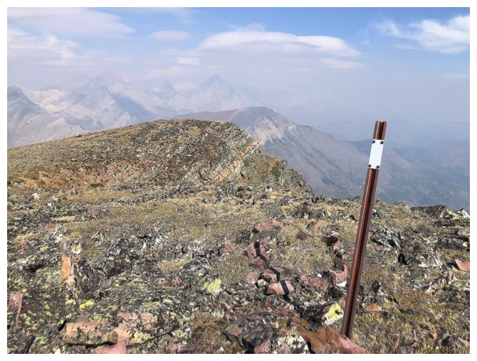
Boundary marker
Looking west to the summit
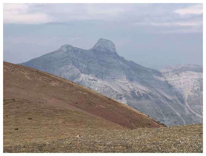
Centre Mountain
Definitive line between the clear skies and smoke
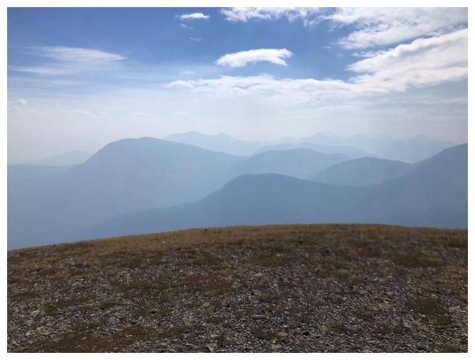
Same hazy view to the southeast
And to the north
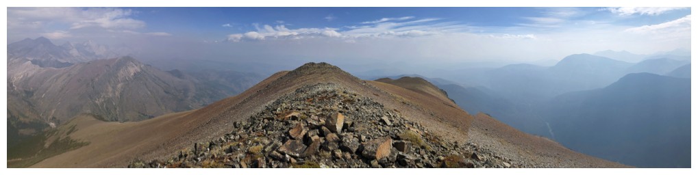
More comprehensive view to the east
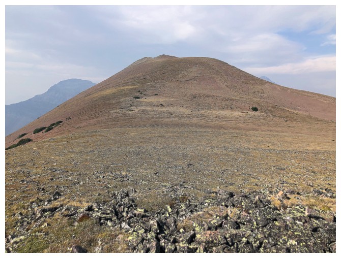
Last few steps to the summit
The colourful peak in the foreground (Darrah SE4) is the last bit of colour before the gray limestone of the Flathead Range takes over
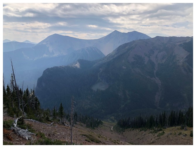
Heading down the fast and easy alternate descent route
Last look over to Hollebeke
And a glance over to South Flathead Peak (right) and North Kootenay Point
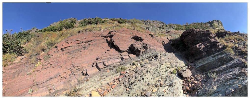
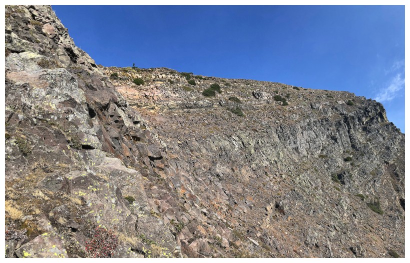
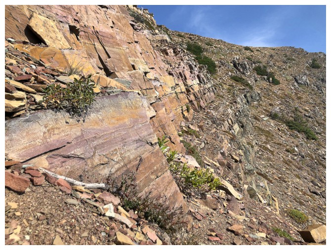
The dark, igenous rock band extends all the way down to the trail
Close-up of the ascent route
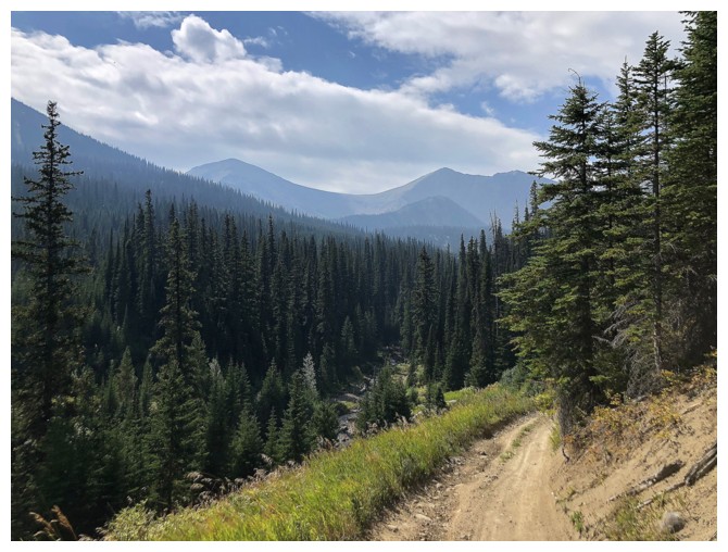
Back on the North Kootenay Pass Trail
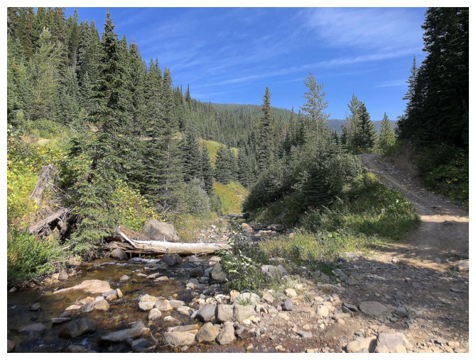
And back at the Carbondale River, with only a thrilling 8 km bike ride to end a wonderful day out
The End
LOG