Prairie Bluff III
December
29, 2011
Mountain
height: 2258
m
Elevation gain:
700 m
Ascent time: 2:35
Descent
time: 1:45
Solo
scramble.
One
problem with driving to the mountains without a specific objective in
mind is
that sometimes by the time you’ve found something of interest, half the
day may
be wasted. Such was the case as I drove south in search of something to
do.
Suffering (?) from a very bruised and swollen little toe, after a
particularly
nasty toe-stubbing incident on Christmas Day, I was looking for a short
and
easy snowshoe trip. 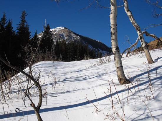 I started in the Crowsnest area only to find a
lack of snow
precluded any ideas of staying on snowshoes. Next I drove to the Castle
Mountain Ski Resort in hopes of attempting Haig Ridge, as described by
Bob
Spirko. The Gondola, ski runs, and several hundred skiers now residing
on that
ridge put me off that idea right away. The miserable weather didn’t
have me
breaking out the hula-loop in a celebratory dance either! A little
disillusioned, I backed tracked to the east, eventually finding myself
at the
Victoria Ridge trailhead. Innumerable visits to this area and has it
never
failed to impress me. I hoped this day would be no exception.
I started in the Crowsnest area only to find a
lack of snow
precluded any ideas of staying on snowshoes. Next I drove to the Castle
Mountain Ski Resort in hopes of attempting Haig Ridge, as described by
Bob
Spirko. The Gondola, ski runs, and several hundred skiers now residing
on that
ridge put me off that idea right away. The miserable weather didn’t
have me
breaking out the hula-loop in a celebratory dance either! A little
disillusioned, I backed tracked to the east, eventually finding myself
at the
Victoria Ridge trailhead. Innumerable visits to this area and has it
never
failed to impress me. I hoped this day would be no exception.
Upon
arriving, I immediately settled on the idea of the southeast
ridge of
Prairie Bluff. 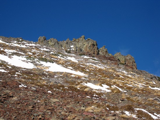 It
fulfilled the “short and easy” criteria, but would unfortunately
not meet the “snowshoe” one. Nevertheless, two previous visits to the
summit
had both been rewarding and I suspected that this route would have at
least a
couple of interesting features.
It
fulfilled the “short and easy” criteria, but would unfortunately
not meet the “snowshoe” one. Nevertheless, two previous visits to the
summit
had both been rewarding and I suspected that this route would have at
least a
couple of interesting features.
The
sky was surprisingly clear above the peak, making the hike to the base
of the
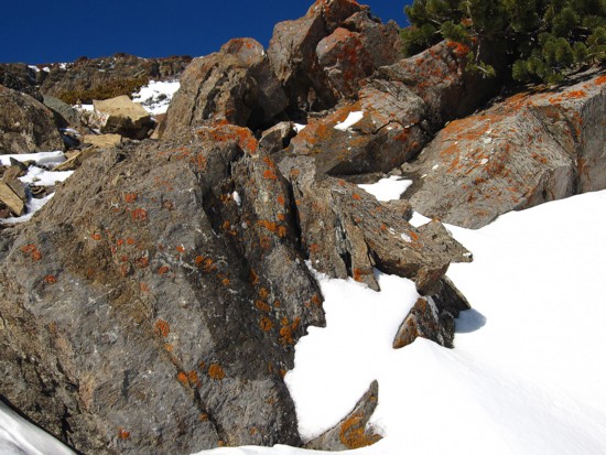
ridge is a very pleasant and scenic one. The
second and perhaps most impressive
scenic feature of the trip appeared in the form of a magnificent band
of
exposed rock, low down on the south face. Like the rock encountered on
our
first trip up a more westerly outlier of the mountain, the contrasting
and
colourful layers of argillites and shales was fantastic.
Above
the band, a red argillite scree slope led to more amazing rock features
on the
east side of the ridge. The lichen-covered conglomerations of dark
igneous rock
were not as vibrantly coloured as the aforementioned rockband, but
equally
fascinating to explore.
An
easy plod to the summit concluded the ascent. The weather took a turn
for the
worse during this section, but still the scenery along the east ridge
was cause
for several photos breaks.
For
descent I went down easy scree slopes, west of the ascent route and
then
followed a drainage out to base of the south-southeast ridge. With
(way) more
snow this route would make a fantastic ski or snowshoe descent.
Yet
again the Castle saves the day with another terrific route up a
terrific
mountain.
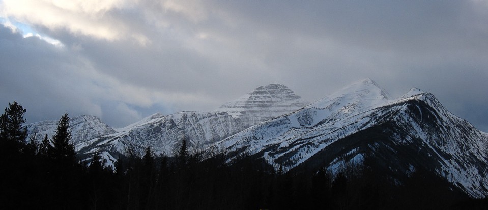 Approaching
the Castle Mountain Ski Resort; the ridge I wanted to try is on the
left, with ski runs near the bottom;
Approaching
the Castle Mountain Ski Resort; the ridge I wanted to try is on the
left, with ski runs near the bottom;
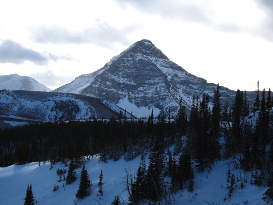
Mount
Haig (centre) and Gravenstafel Ridge (right)
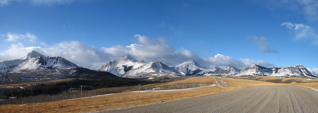
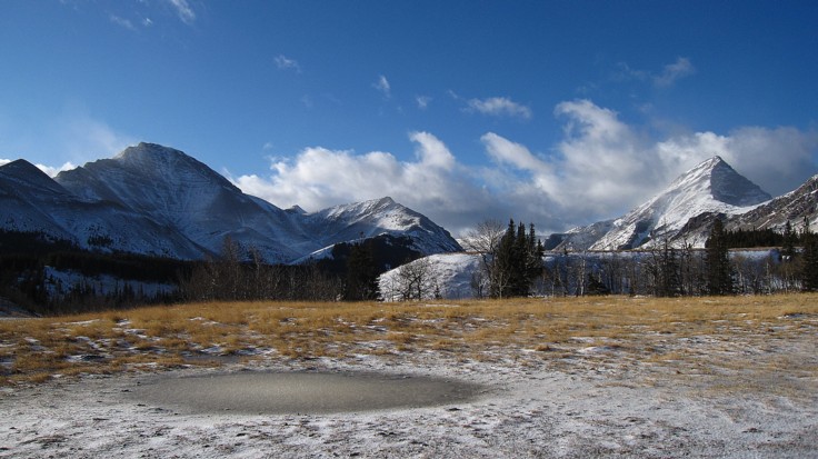
On
the drive to Victoria Ridge trailhead; from left to right Drywood
Mountain, Pincher Ridge,
Victoria
Peak, the multiple outliers of Prairie Bluff and Prairie Bluff at the
far right
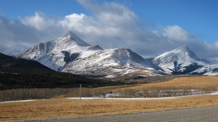
Pincher
Ridge (left) and Victoria Peak
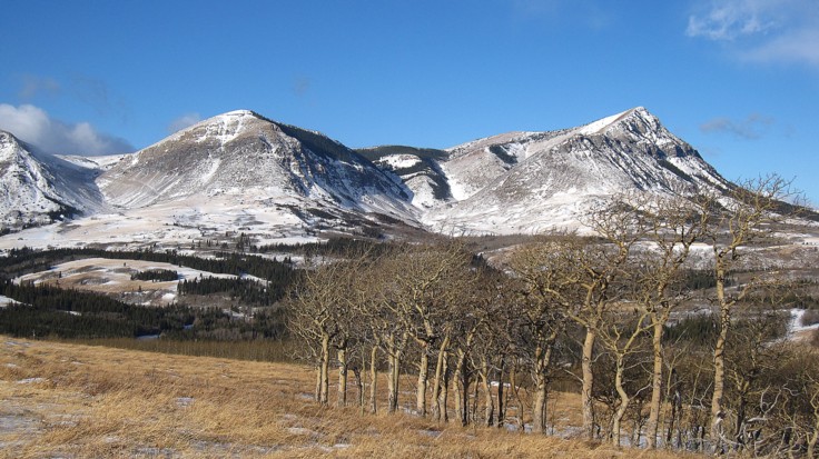
Prairie
Bluff; summit at the right
The
usual batch of repetitive photos, but this is such a beautiful area of
The Rockies
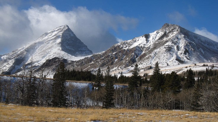
Two
of the best ascents of the area: Victoria Peak (left) and the western
outlier of Prairie Bluff
Same
as above, with Prairie's middle outlier
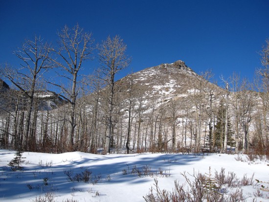
Leaving
the parking area
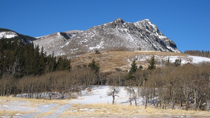
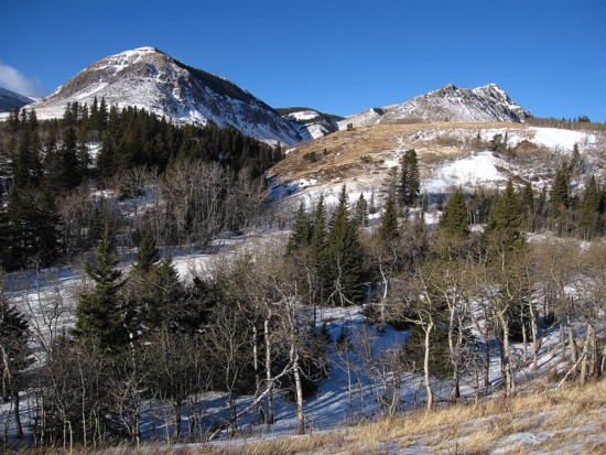
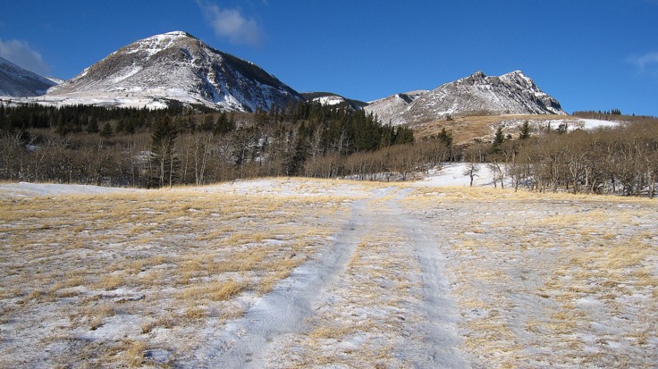
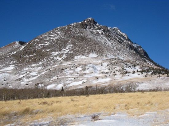
The
objective
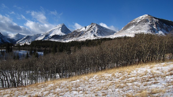
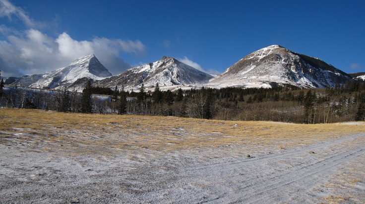
The
trio again
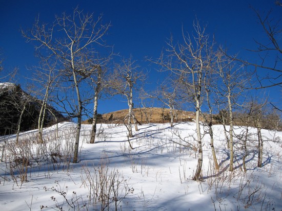
Nothing
like a clear sky and fresh snow to spruce up the leafless trees
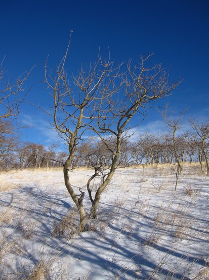
Same
as above
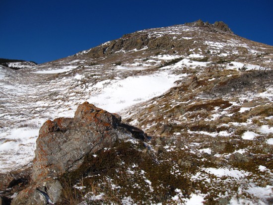
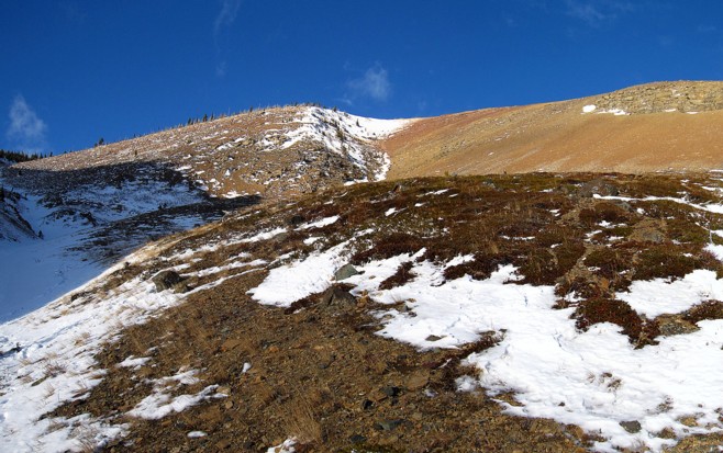
The
south face
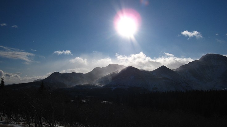
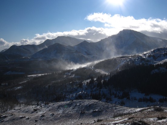
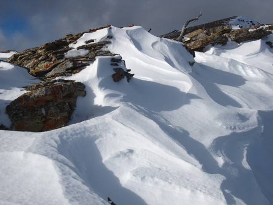
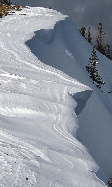
The
wind moving snow on Pincher Ridge
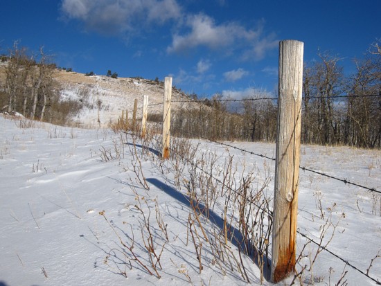
One
of the wire fences I hopped over
Another
light stand to trees to get by
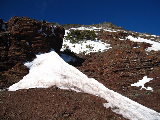
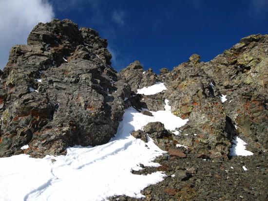
Starting
up the south face
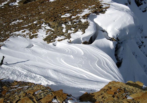
More
wind effects
Colours
of the south face
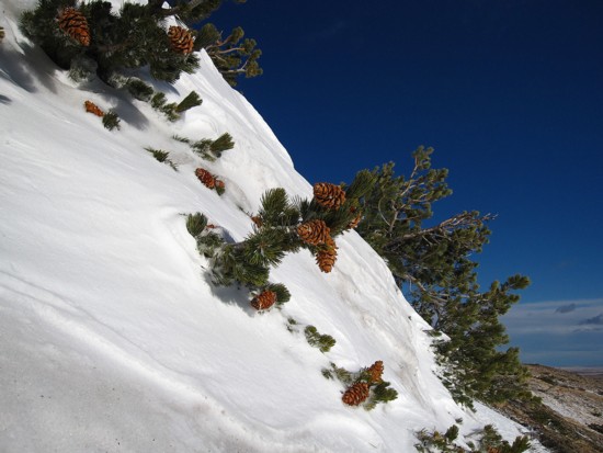
Tenacious
evergreens cling onto the side of the face
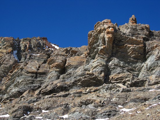
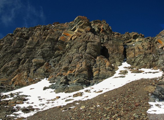
Approaching
the first rockband
Beautiful,
layered rock
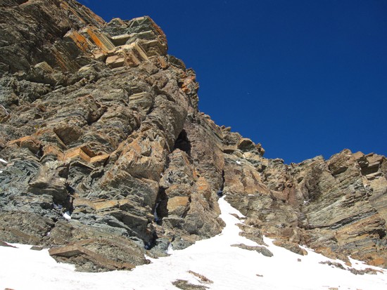
Same
as above
Same
as above
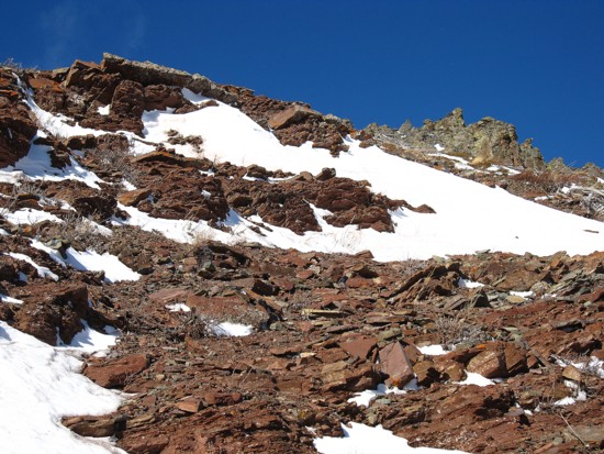
The
red argillite slopes above the rockband, leading to the scenic south end
of the ridge
Same
as above
Approaching
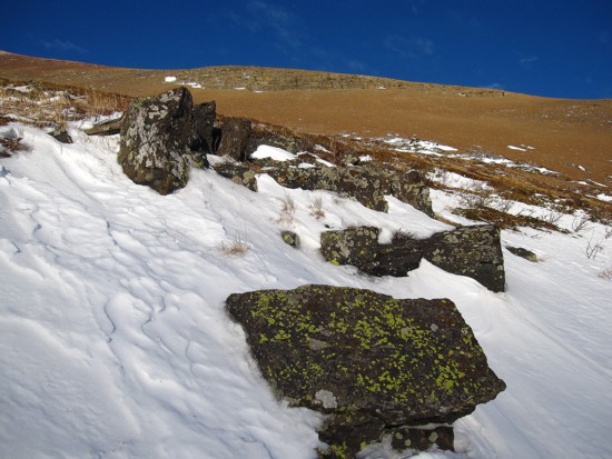
the igneous band
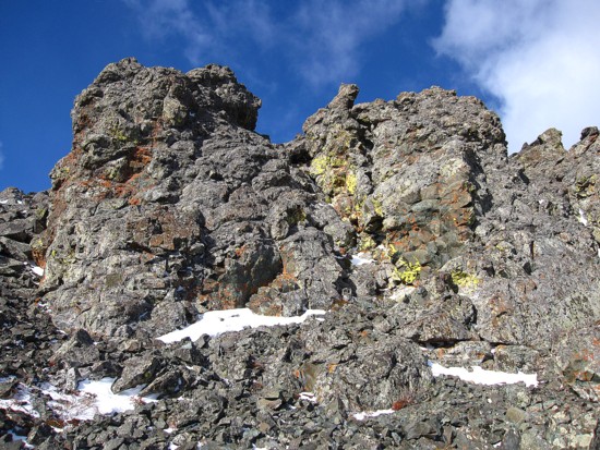
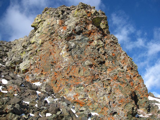
Solid
igneous rock
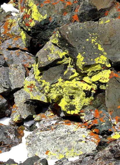
Lichen
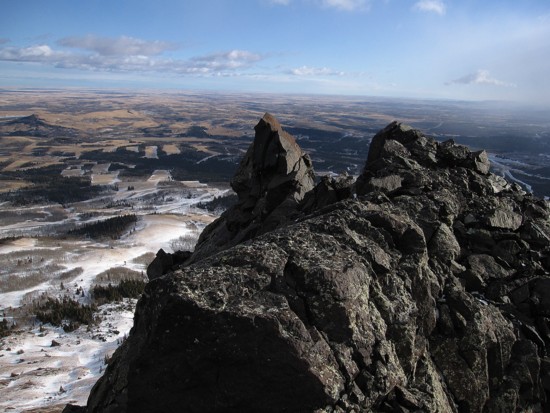
More
pinnacles
Same
as above
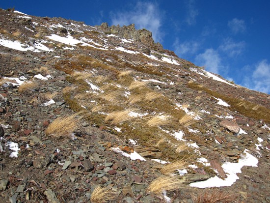
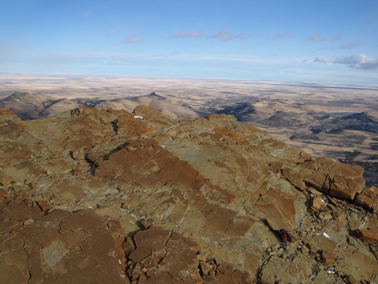
The
prairies immediately to the east - hence the name "Prairie Bluff"
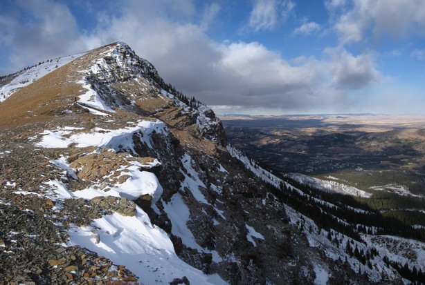
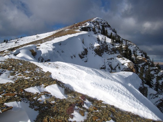
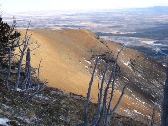
The
southeast ridge
More
prairies and colourful rock
The
obligatory shot of Victoria Peak
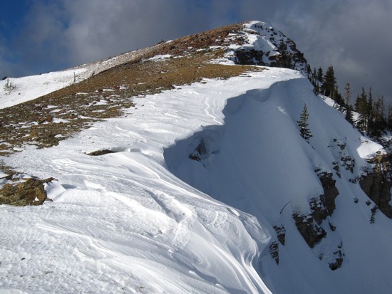
Snow
on the east face
Same
as above
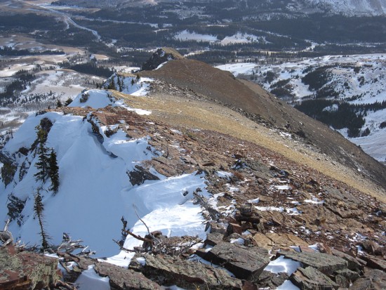
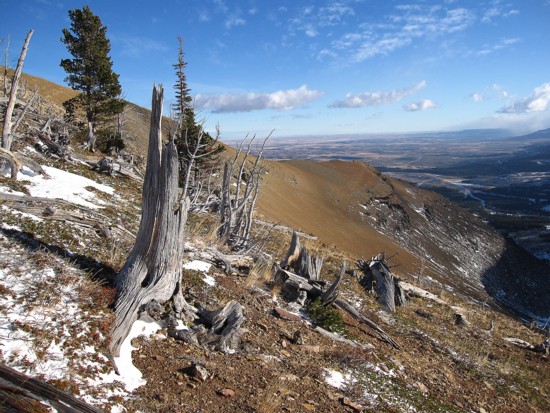
Looking
down the southeast ridge
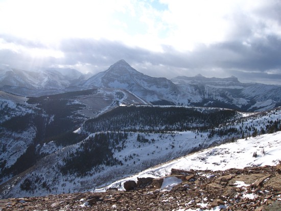
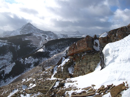
Castle
Peak and Windsor Mountain at the right
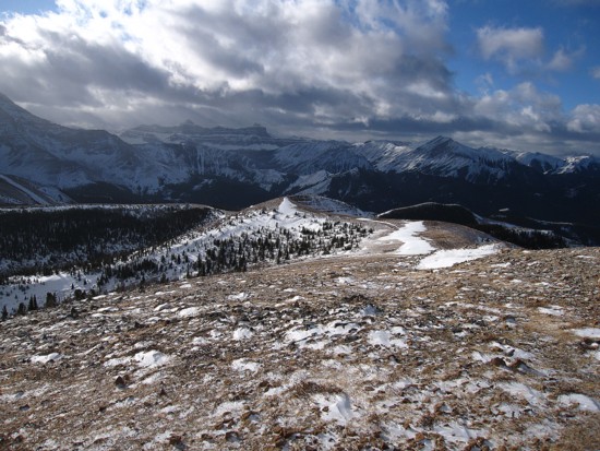
Looking
along the wide west ridge
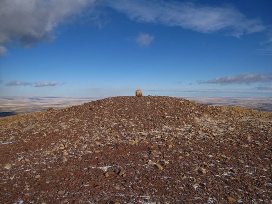
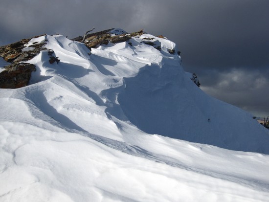
The
summit cairn/log
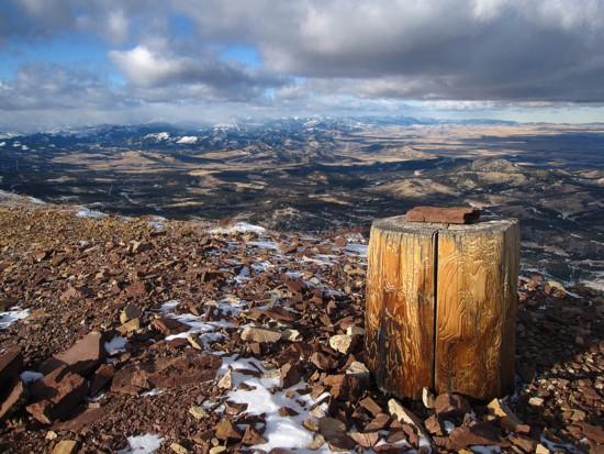
Same
as above, looking northwest towards the Crowsnest area
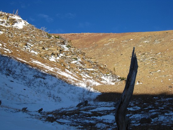
The
alternate descent route
A
last look at Victoria
The
southeast ridge gets some Sun again
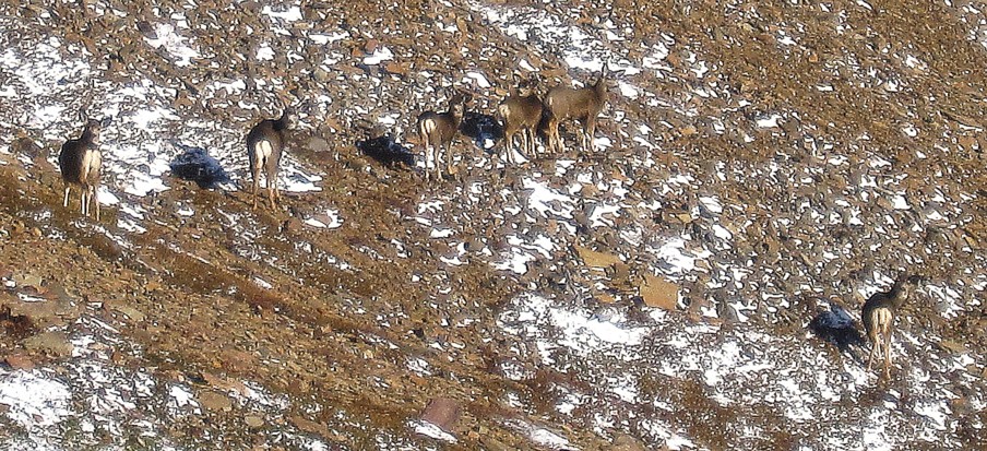
A
few white-tailed deer fulfill the wildlife element of the trip
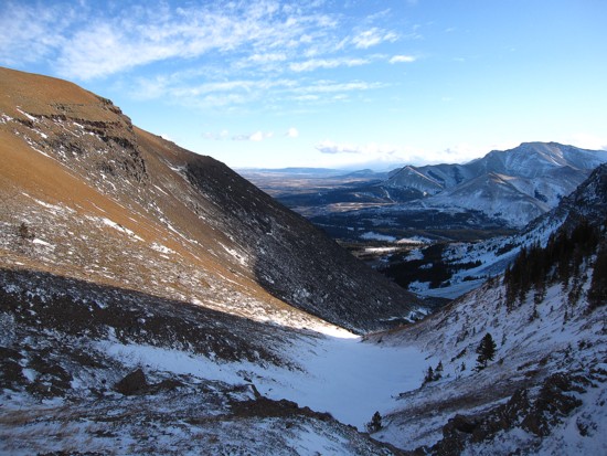
Looking
down the descent route
Looking
up the descent route
Same
as above
Same
as above
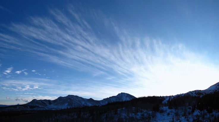
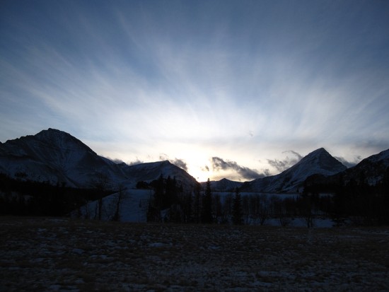
Clouds
over the Castle
Same
as above