SSurvey Peak II
September 29, 2018
Mountain
height: 2676 m
Elevation gain: 1450 m
Ascent
time: 4:45
Descent
time: 2:25
Solo
scramble.
After
reading Matthew Clay’s trip report for Survey Peak,
I put a summer ascent of the peak on my “to-do” list”. Our first ascent was a
grueling late December affair back in 2009, with a heavy dose of route-finding
up the southeast slopes of the peak and an even heavier dose of strenuous
post-holing. Matt and Alison had found a flagged trail up through this dense
forest and so I was curious to check it out. I missed summer by a week and
September of 2018 had up to that point been the most overcast and snowy one I
can remember. However, since I only intended to hike the trail up to treeline I
was confident the new snow wouldn’t be an issue. I was also hoping for decent
weather conditions, Accuweather advertising mainly sunny skies for the day,
even though every other area of the Canadian Rockies was forecast to be cloudy and
snowy (that should have aroused my suspicions right away!).
 I didn’t
enjoy clear skies. In fact it was downright miserable for most of the day.
Nevertheless, the objective was just to hike the approach and I had not driven
2.75 hours to just turn around and go home. This part of the trip went smoothly
and as advertised, once the flagged trail was found, it was relatively easy to
follow.
I didn’t
enjoy clear skies. In fact it was downright miserable for most of the day.
Nevertheless, the objective was just to hike the approach and I had not driven
2.75 hours to just turn around and go home. This part of the trip went smoothly
and as advertised, once the flagged trail was found, it was relatively easy to
follow.
At higher
elevations, the snow started to appear and long before I got to treeline the
white stuff was knee to mid-thigh deep. Naturally I wanted to continue, at
least until a view of some sort was earned. And earned it was! Without
snowshoes, making it above treeline was ridiculously more strenuous than our
December ascent.
I finally
reached the shoulder of Survey 3.5 hours into the trip, about 1 hour longer
than anticipated. Having achieved the goal of the trip, common sense dictated that I
call it a day here and go home. However, in the mountains common sense can be
defeated easily by a slither of blue sky and, of course, one suddenly appeared
to the south – game on, I guess!
With the
potential of even more clearing and being about an hour from the top, I decided
to push on to the summit. Another 1.25 hours of grueling travel followed and I
arrived at the top in variable weather conditions: sorta’ clear to the south
and sorta’ nasty to the north; took a few photos, half scowled at the weather,
and time to go home.
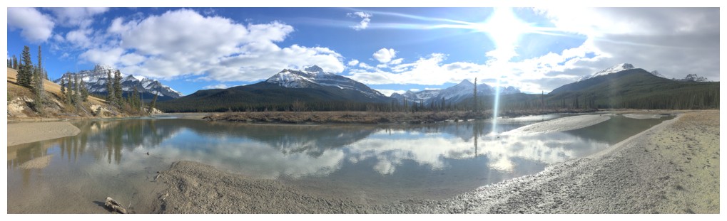
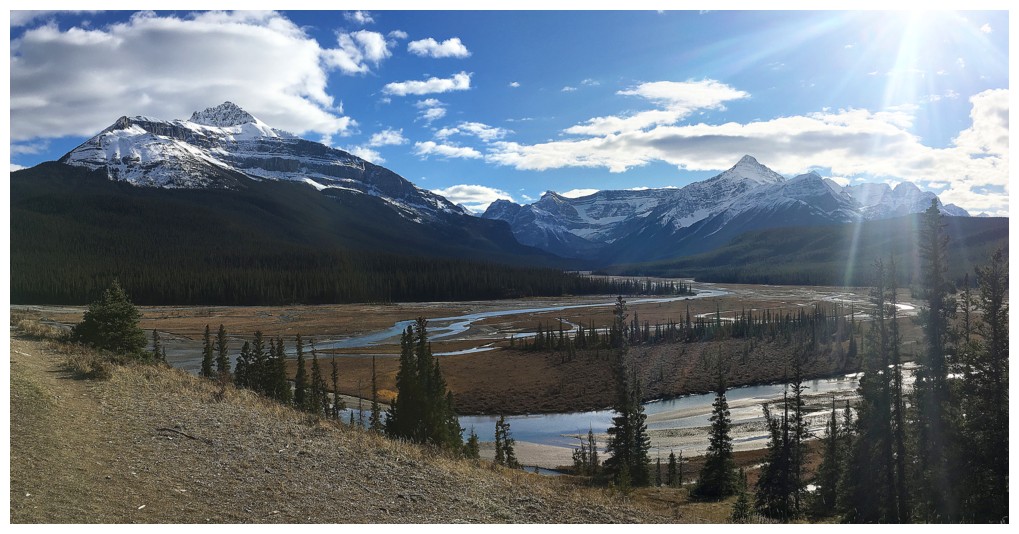
With a
broken trail through the deep snow, the descent was mercifully easy, giving me
time to explore the beautiful terrain around the Howse and North Saskatchewan rivers,
with increasingly improving weather.
Not what
I had hoped for in regards to the weather, but a successful and enjoyable day
out nonetheless.
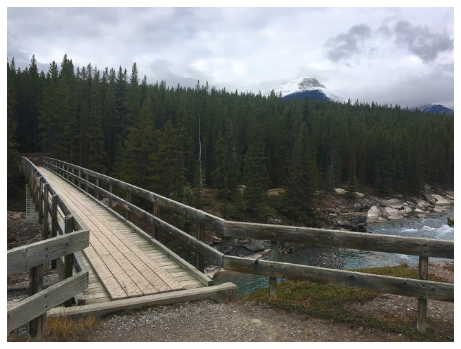
The bridge across the North Saskatchewan River, with Survey Peak in the gloomy distance
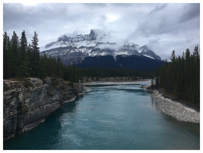
From the bridge, looking south to Mount Murchison
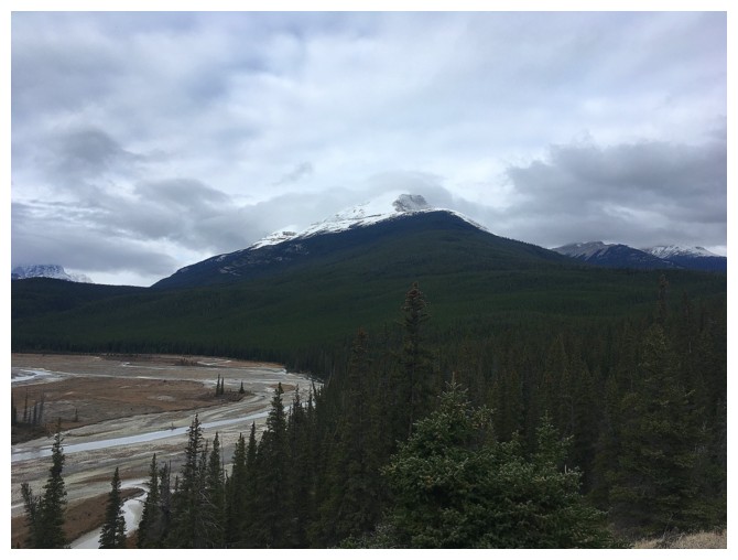
Survey Peak. That's a pretty big stretch of forest between the trail and treeline!
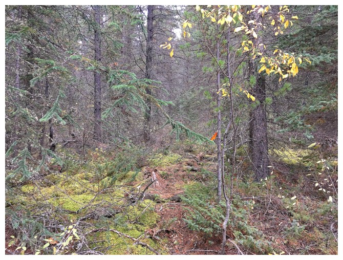
Where you leave the main trail
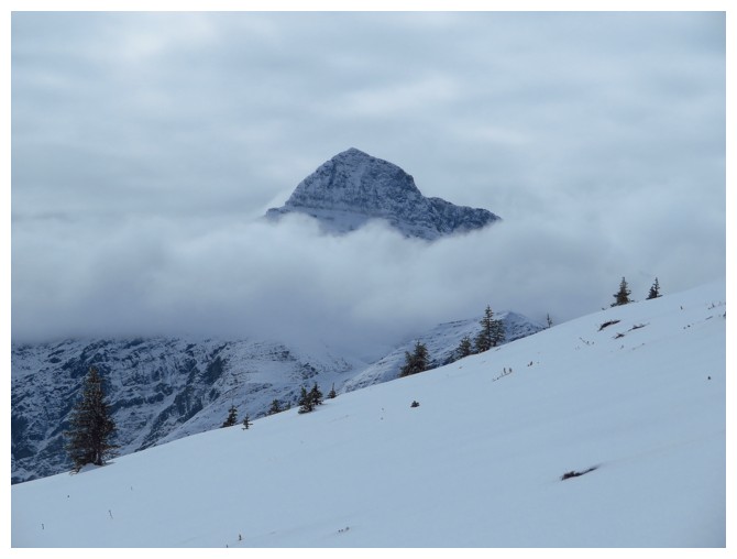
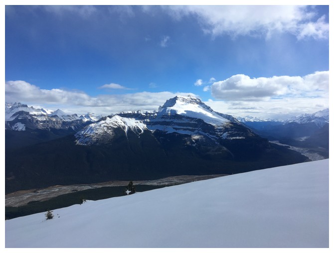
The only glimpse, throughout the day, of the summit of Mount Forbes
Almost at the Survey Shoulder
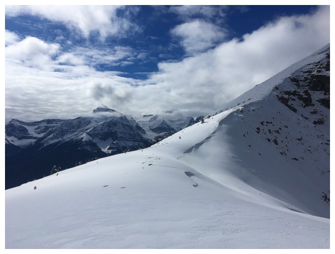
Another view towards Forbes
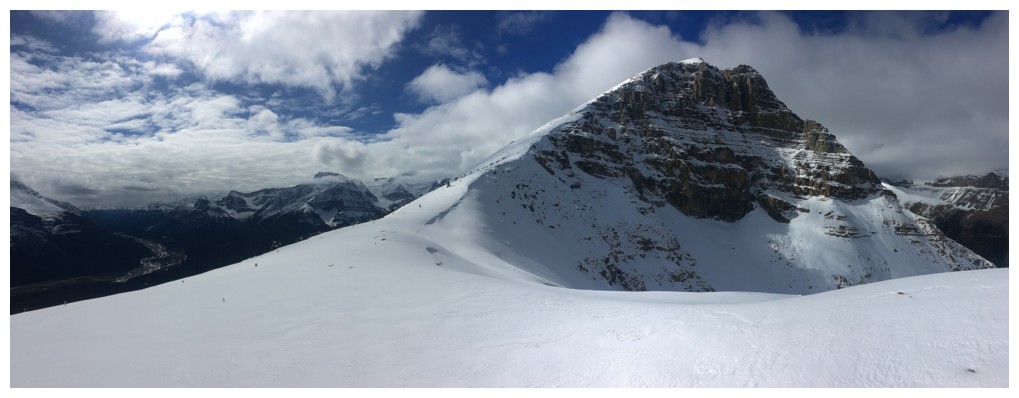
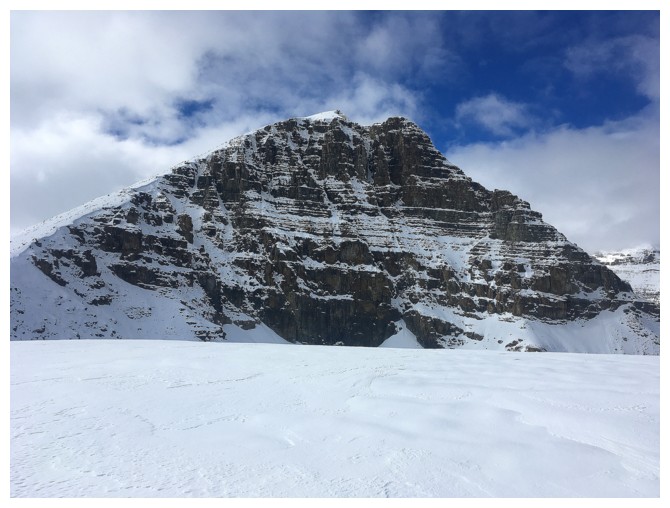
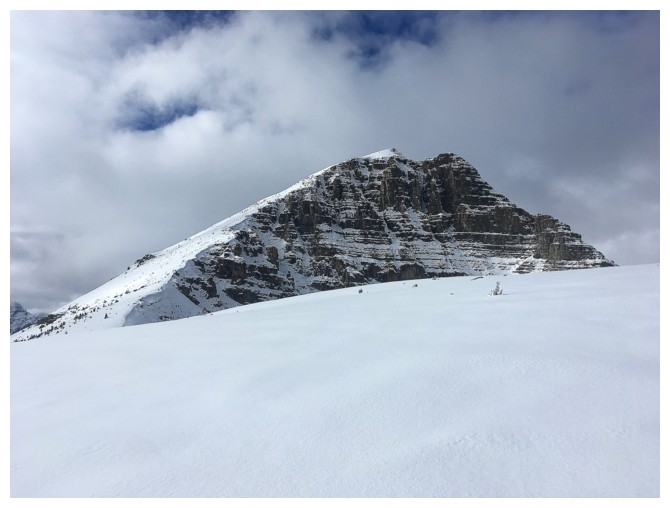
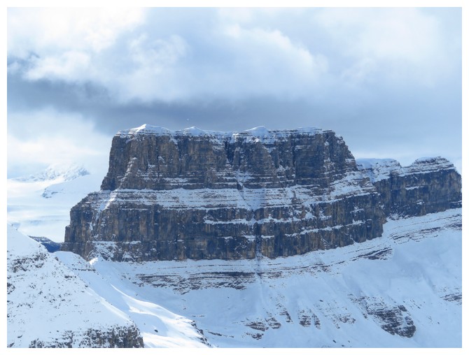
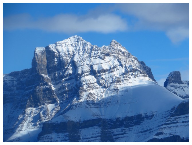
The impressive summit block of Survey Peak
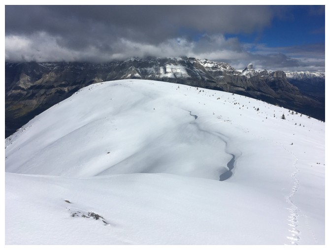
Looking back at the northeast shoulder of Survey. Quite a bit of snow for this time of the year.
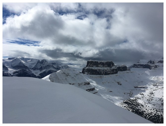
A sucker patch of blue sky
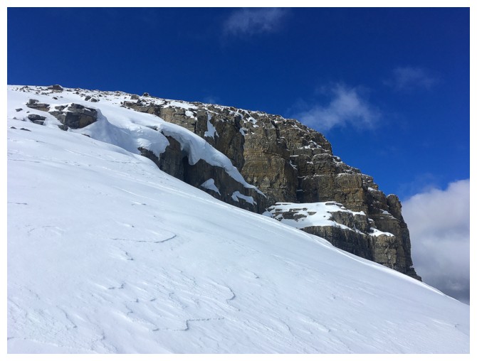
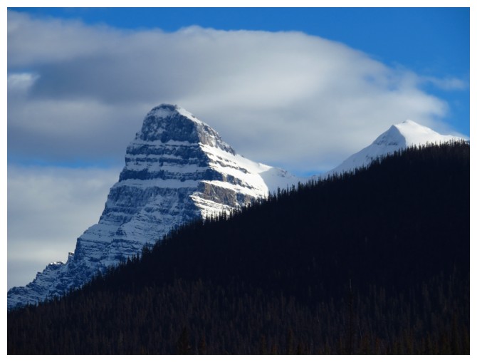
The very striking outlier, west of Survey
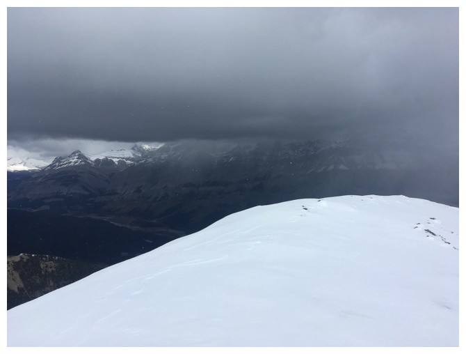
Nasty weather coming in from the northeast
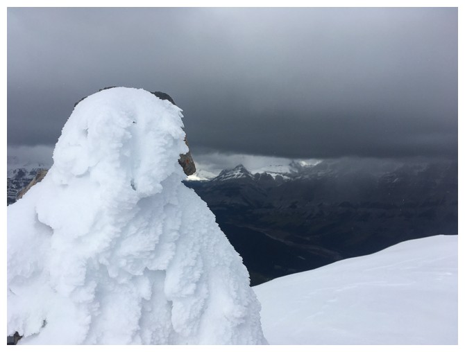
Same as above with the summit cairn
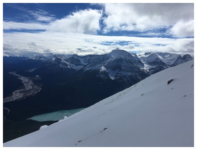
A small portion of Glacier Lake can be seen from some points
Good weather over Mount Sarbach
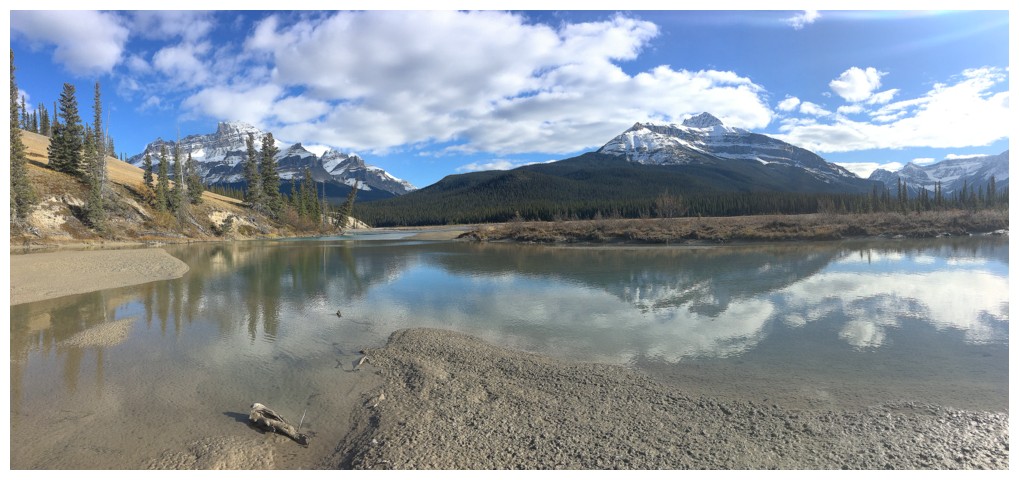
The two summits of Murchison
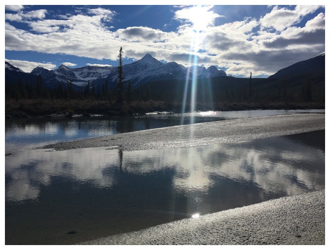
Sarbach from the valley
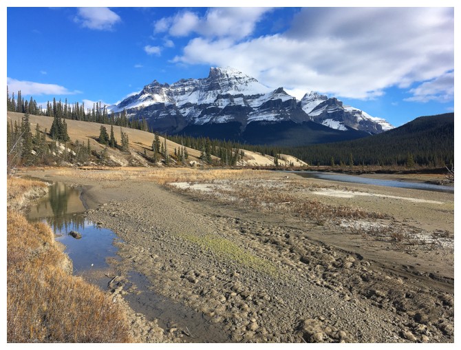
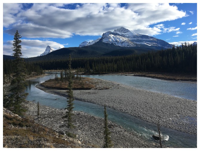
Exploring the banks of the Howse River
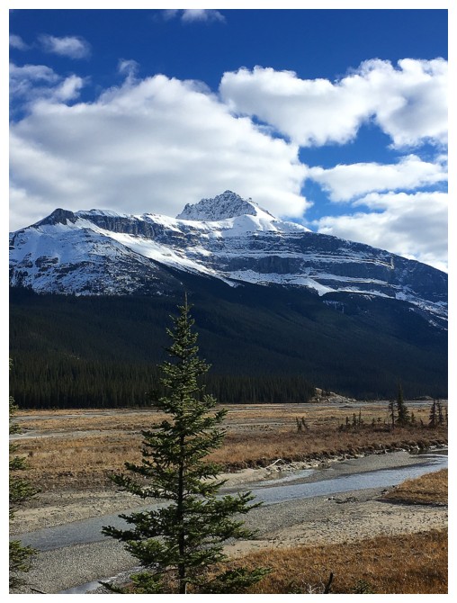
Mount Outram is prominent and very photogenic
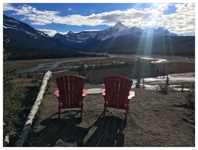
Not too shabby of a viewpoint
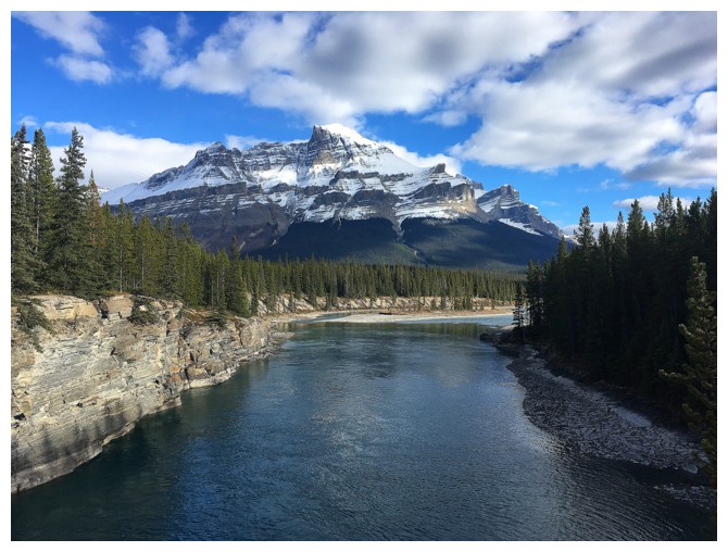
Pretty big contrast to the same view of Murchison, earlier in the day
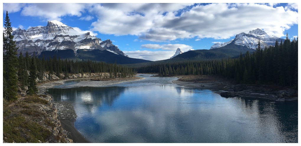
Four giants: Murchison, Chephren, White Pyramid, and Sarbach
Chephren and White Pyramid
Last look
The End