Anderson’s Southeast Shoulder
June 21, 2024
Highpoint: 2220 m
Elevation gain: 745 m
Round-trip time: 3:50
Solo scramble.
With all
forecasts pointing towards cloudy skies and possible thunderstorms around noon,
a quick trip was on the morning menu. Arriving at the Red Rock Canyon parking
lot, with the intention of completing another trip up Dundy Junior, I changed
my mind upon seeing a minor bump on Anderson Peak’s southeast side. The alluring
swath of red argillite across its face was all the motivation I needed!
After hiking
about a kilometre past Blakiston Falls, I left the trail, heading up to the
lowest section of red rock. The goal was to gain the base of the rock and then traverse
under the band heading northeast, eventually gaining the ridge above. However, once
at the base it became clear that going southwest would lead me into a drainage that
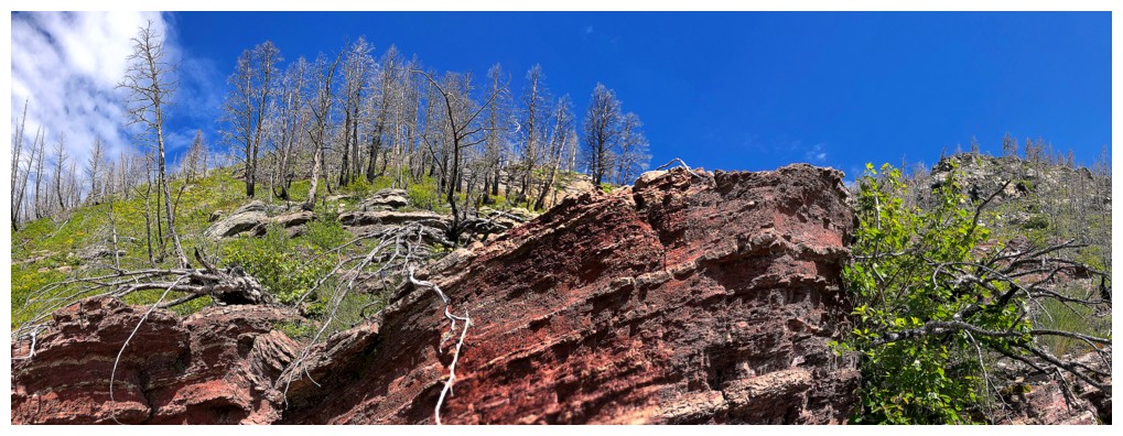
of course was also comprised of red argillite. Ascending a red argillite
drainage won out the “appeal” battle and that’s the way I went.
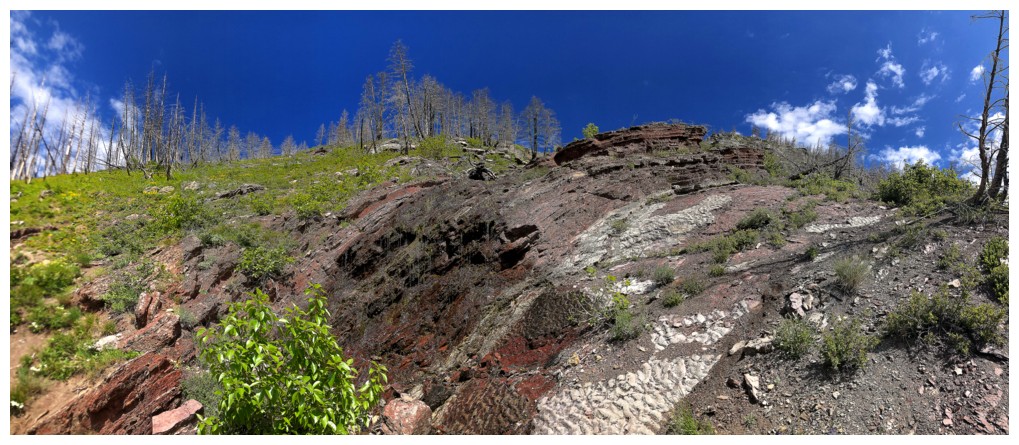
The drainage did
not disappoint, featuring a wide variety of rock and improving views as I
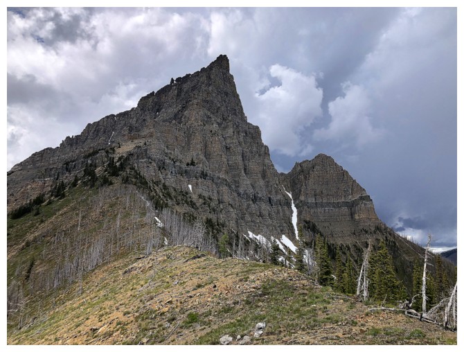
gained elevation. Eventually the ascent came to its logical end. The southeast
side of Anderson is not scrambling terrain. Perhaps a good thing, as clearly
(and right on schedule) the weather was changing for the worse. Instead of
retracing my ascent route, I followed the ridge easily down to the Blakiston
Falls Trail, thankfully avoiding the incoming rain.
A good morning out
and a trip I can safely add to the “If you have a few hours to kill” list.
Looking up the drainage I ascended 6 days earlier
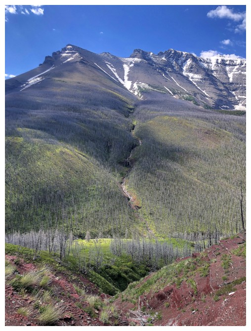
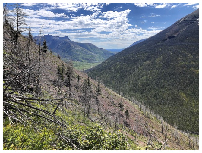
Anderson's southeast peak and the Southeast Shoulder in front
Same as above from near Blakiston Falls
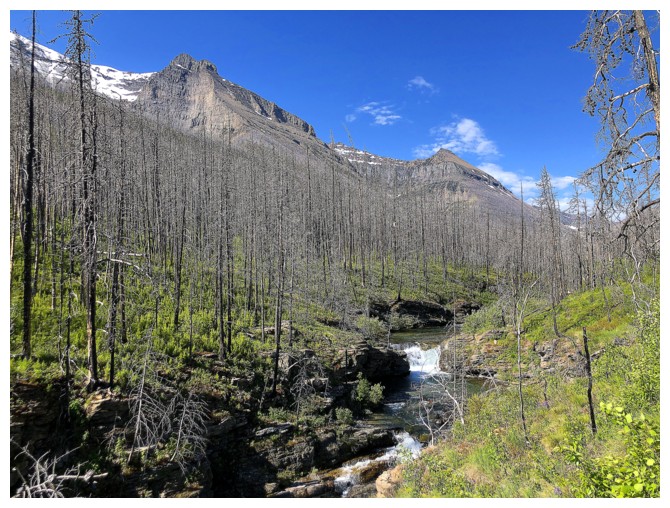
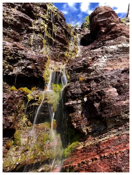
I managed to skip a visit to Blakiston Falls but had to see this little guy up-close
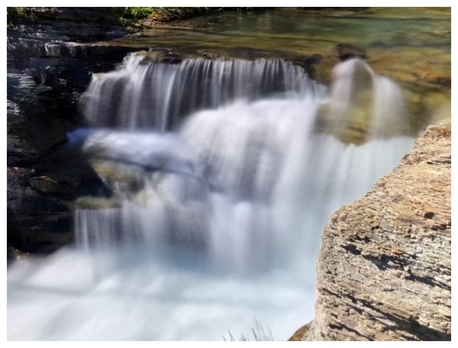
Up-close
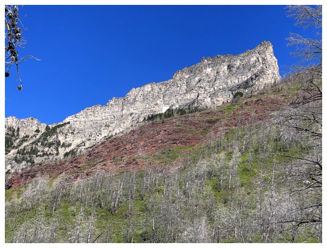
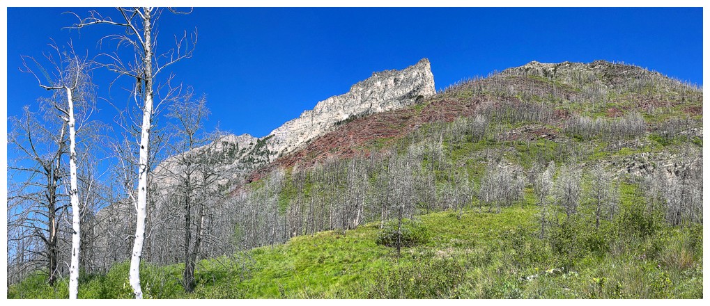
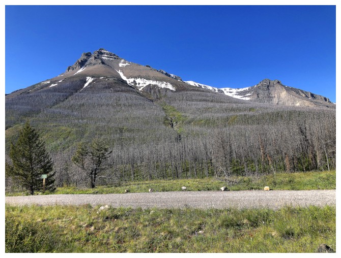
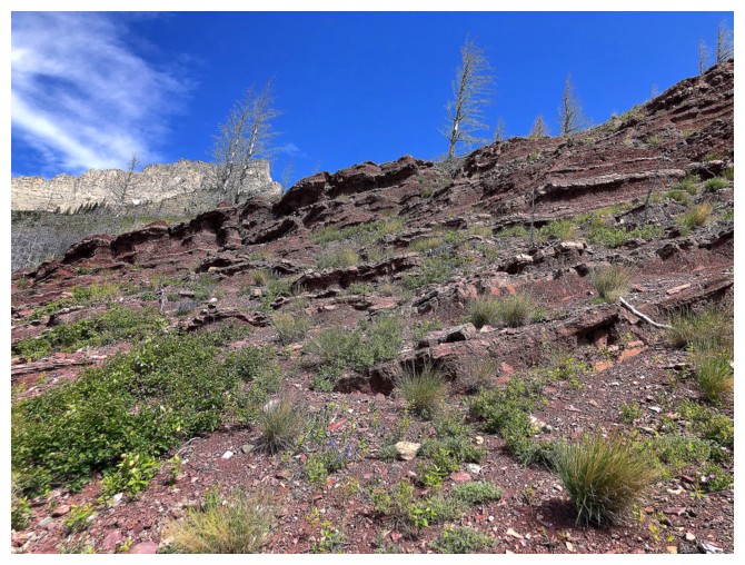
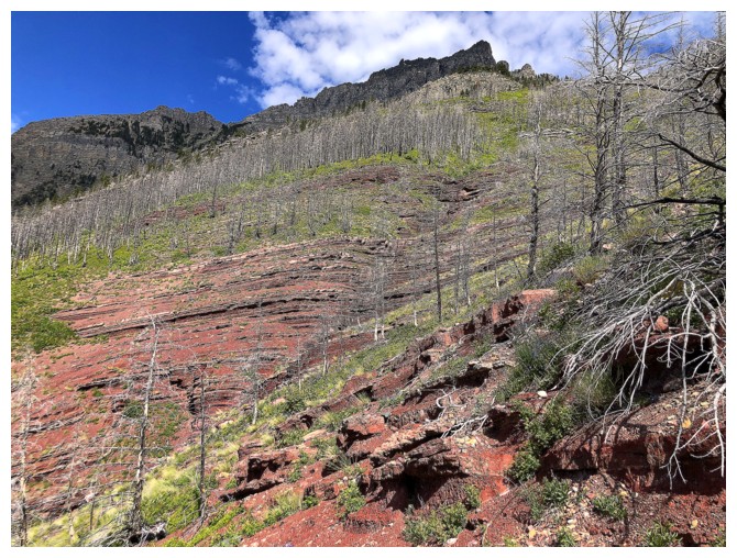
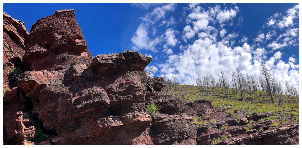
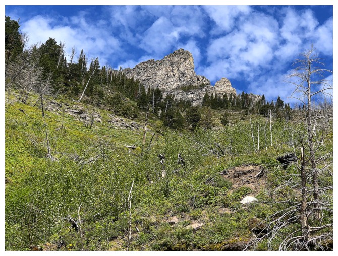
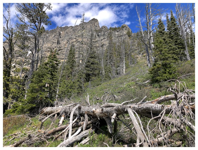
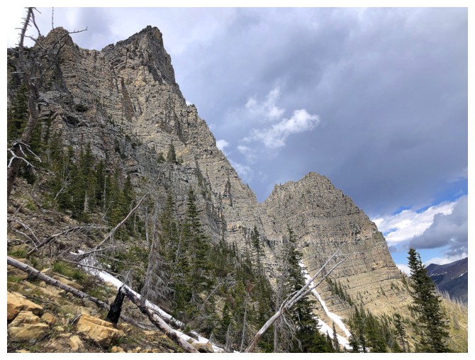
Zoomed-in shot of the southeast peak and the red argillite rock band I will aim for
Heading up to the band
There it is
A taste of things to come
The drainage to the left
The rock band in front
Traversing left, towards the drainage
Almost there
In it
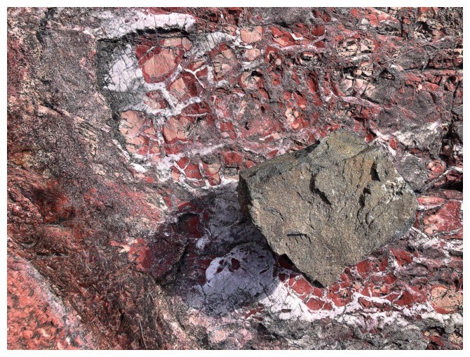
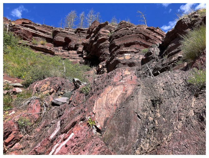
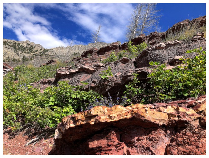
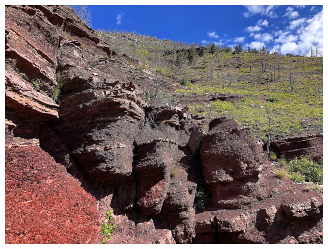
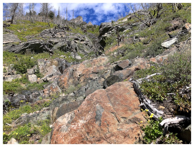
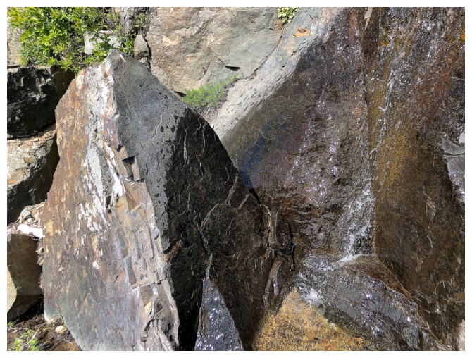
Of course the drainage is littered with interesting rock
Looking over to a drainage I ascended in wintry conditions in May of 2022
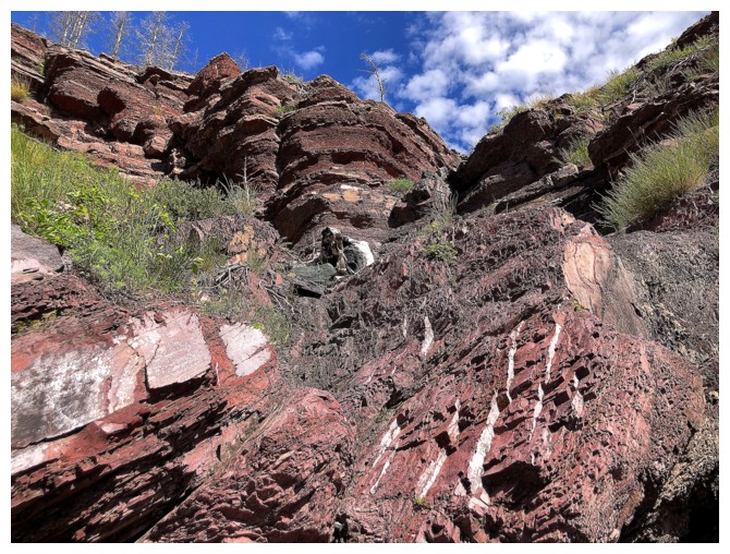
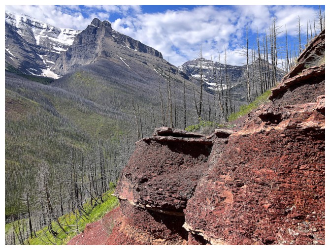
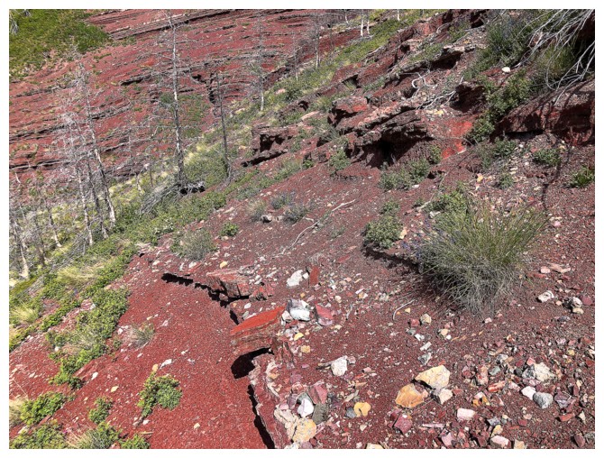
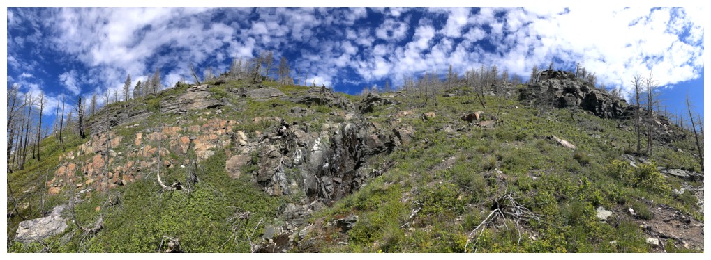
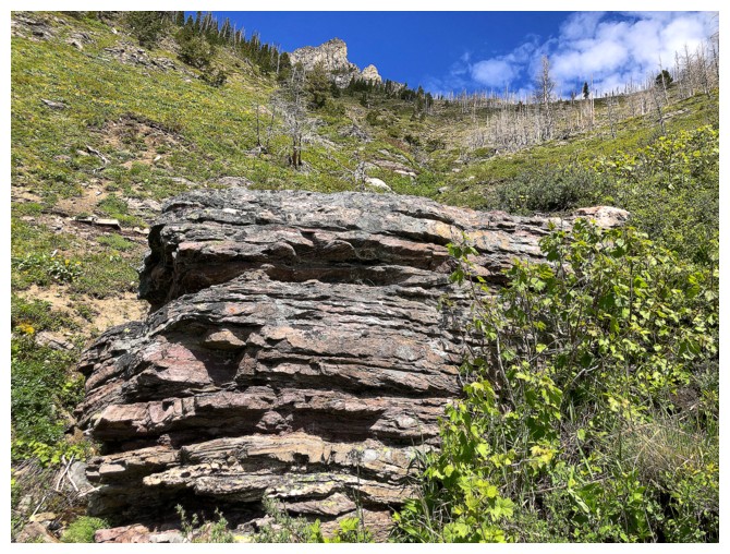
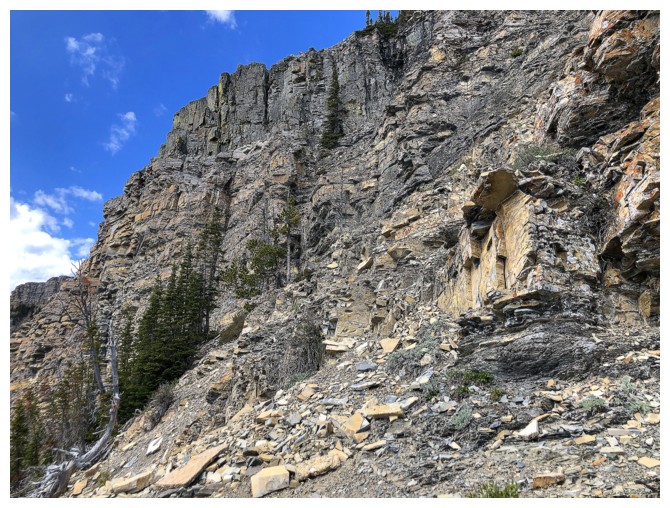
The highlight section of the drainage
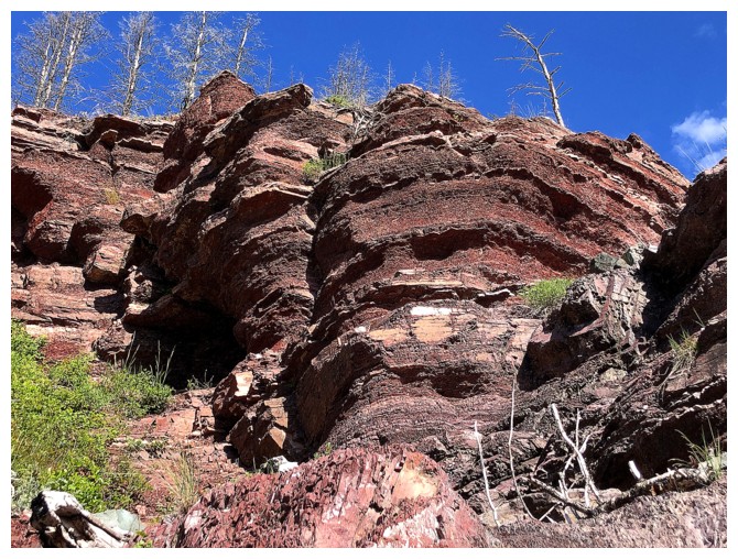
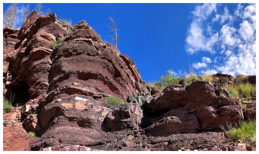
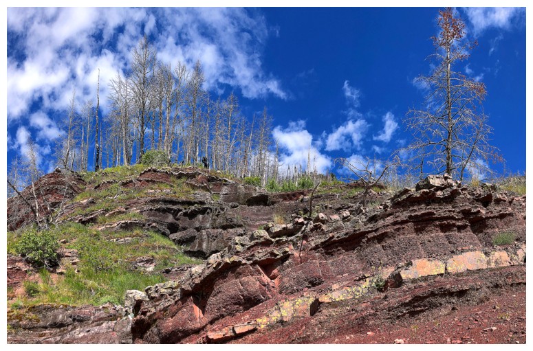
I thought this was the end of the red argillite
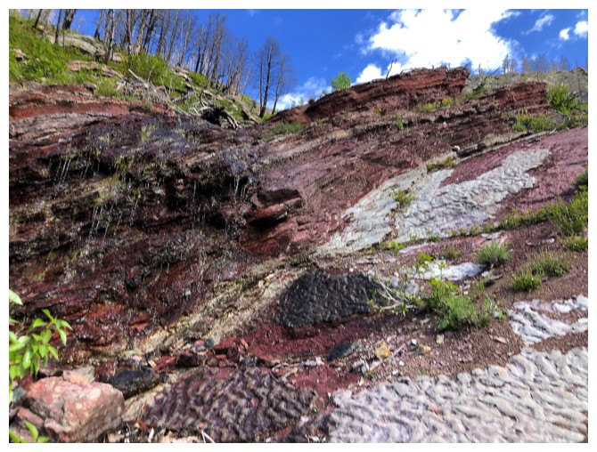
But no!

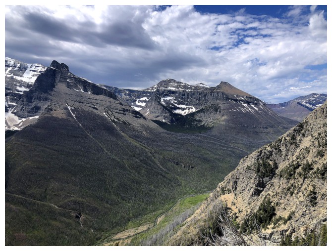
Distant Mount Galwey and Galwey North
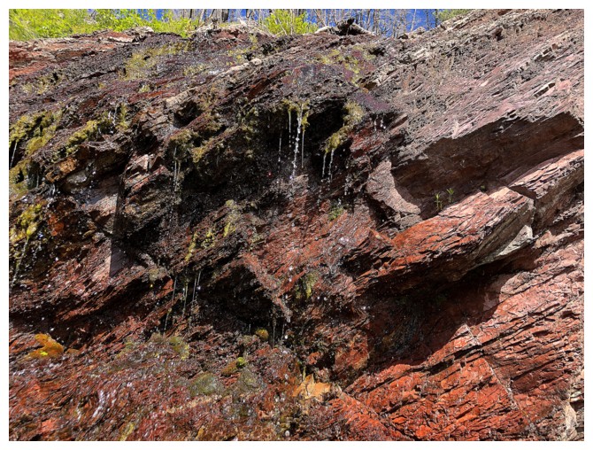
The drainage was completely dry except for this one and a few other sections
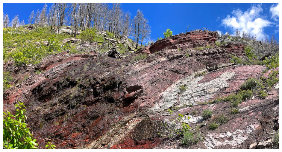
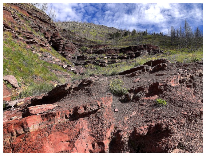
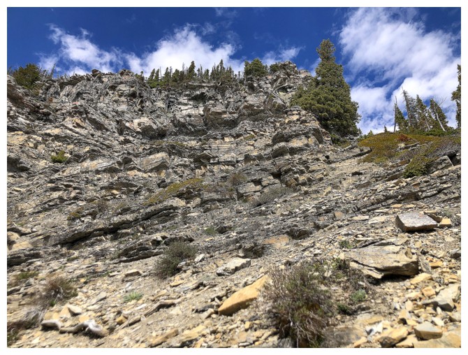
Definitely the end of the red rock
But there is some nice dolostone to replace it
And others
Aiming for the base of that rock
But that was a zoomed-in shot - it's still quite far
Looking over to some of the route Jodi and I tried in 2005
Clouds building over part of the Hawkins Horseshoe
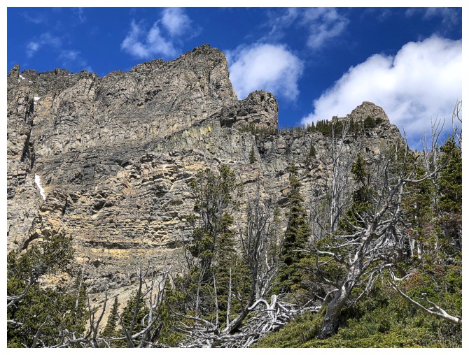
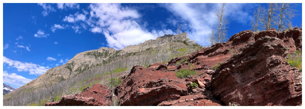
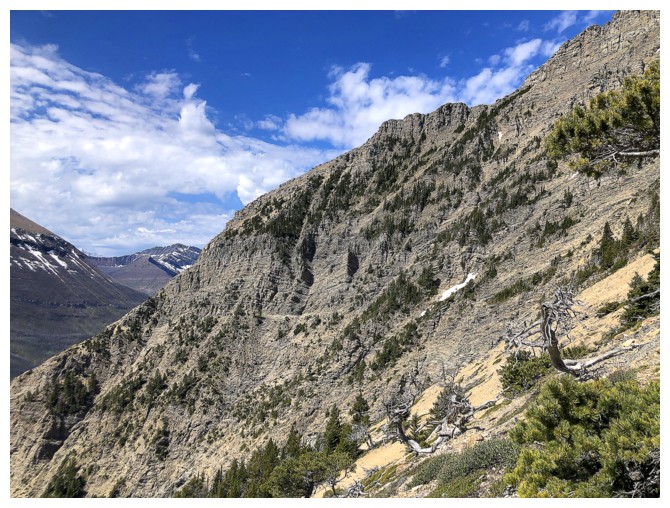
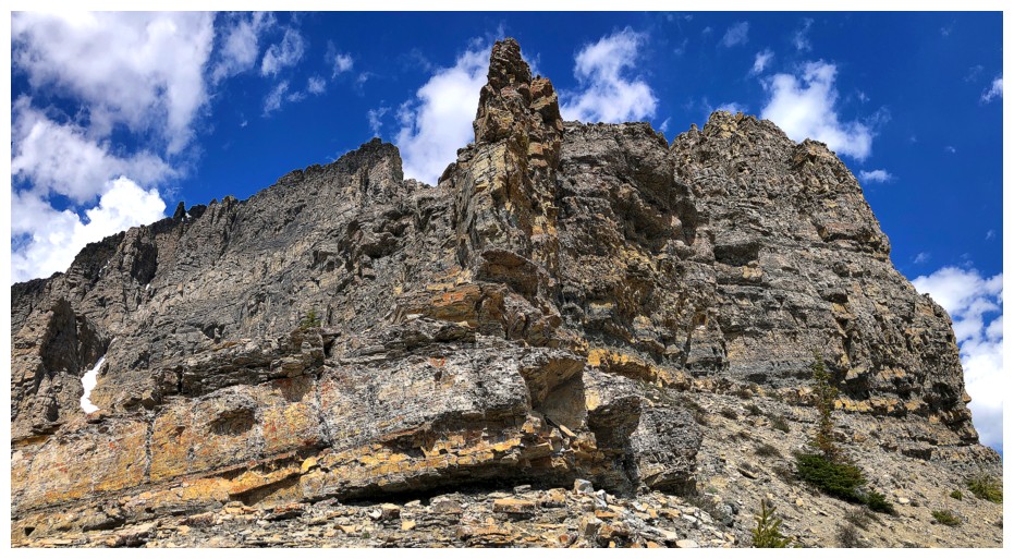
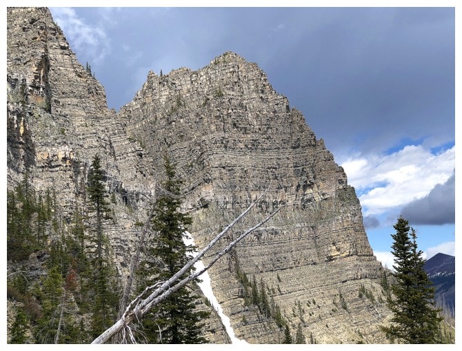
Zoomed-in shot of the steep southeast side of Anderson
Zoomed-out
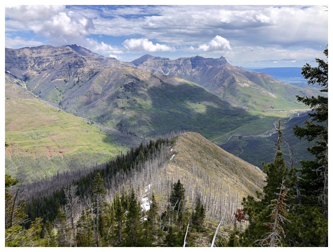
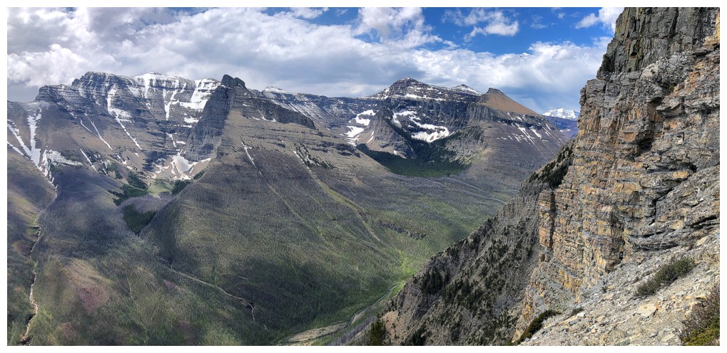
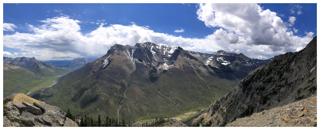
Add Rogan, Dungarvan, and Dundy to the view to the east
The terrain that stopped progress on our first attempt

Looking down a similar route we took to bail on that first attempt
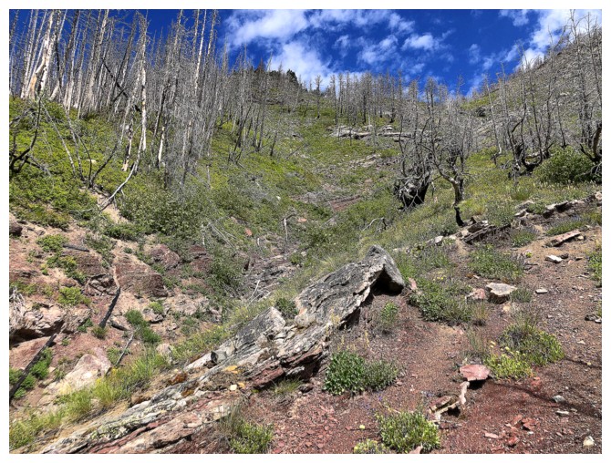
Some easy scrambling ahead
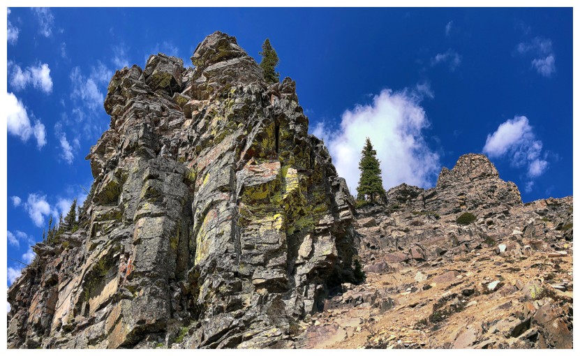
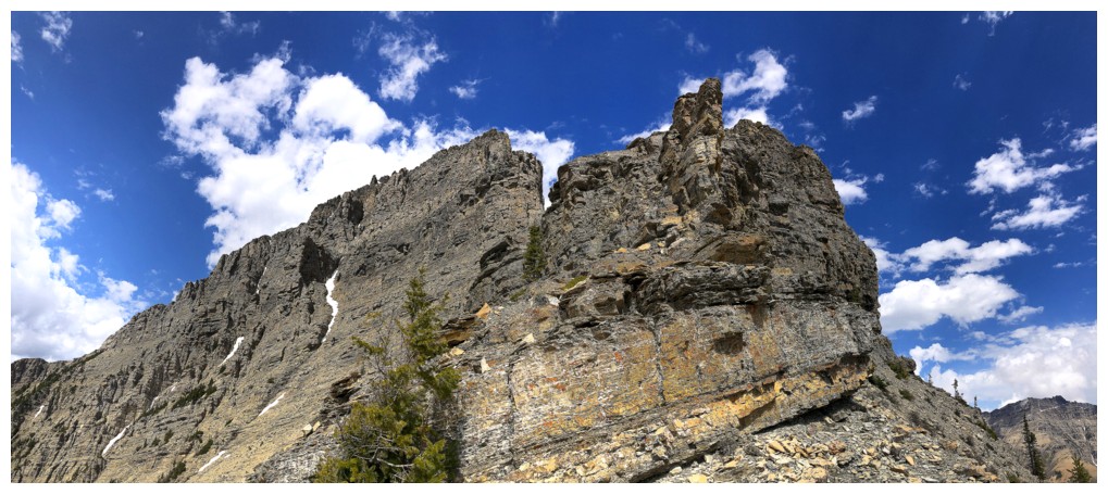
Passing a cool lichen-covered pinnacle
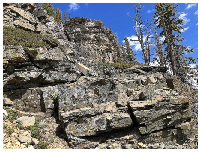
More scrambling
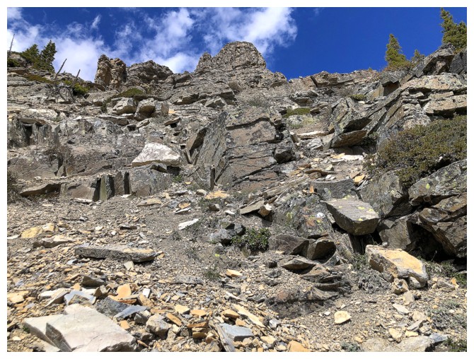
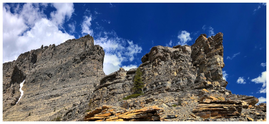
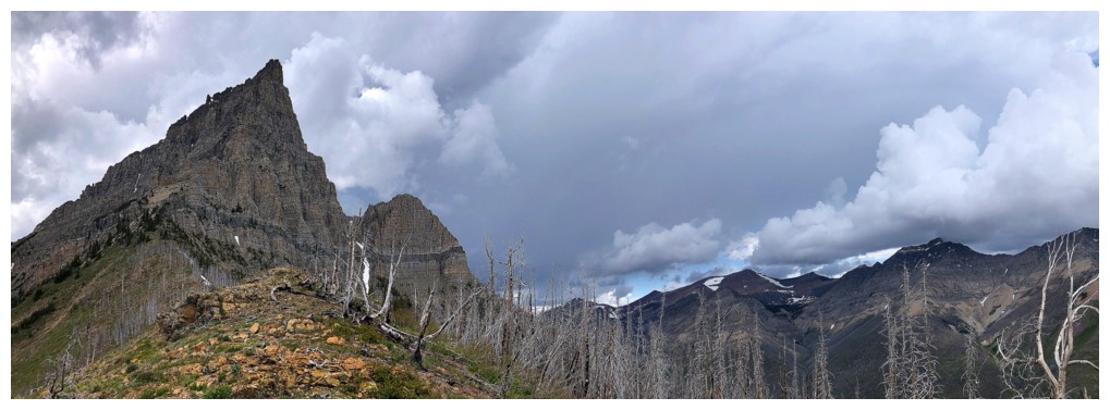
Approaching the end of the line
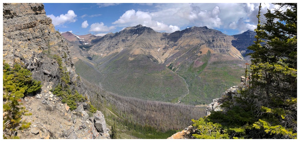
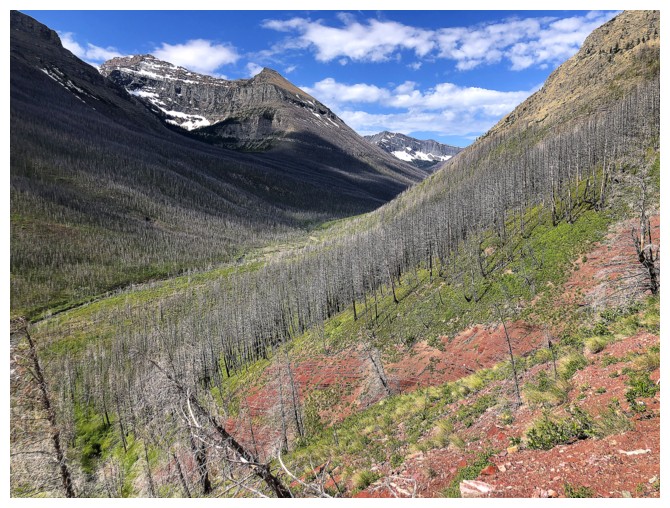
Glendowan and Cloudy Ridge
The end of the line
Mount Blakiston
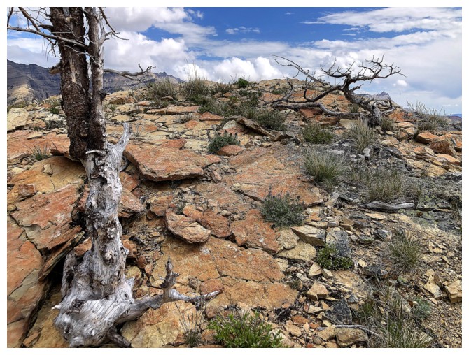
Not scrambling terrain
A little exploring before the descent
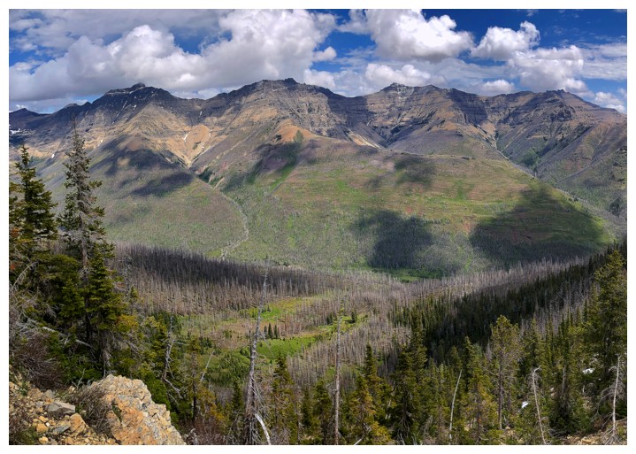
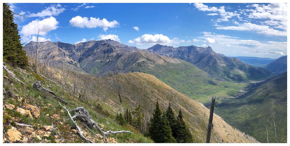
All the peaks to the northeast
Threatening clouds are building to the north also
The impressive northeast side of Anderson
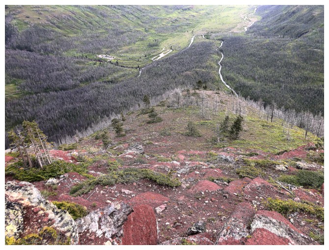
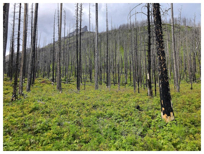
Typical terrain on descent
The race to beat the incoming storm is on
Heading down the easy east ridge
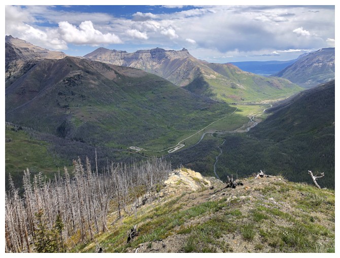
Looking down the route, all the way to the parking lot
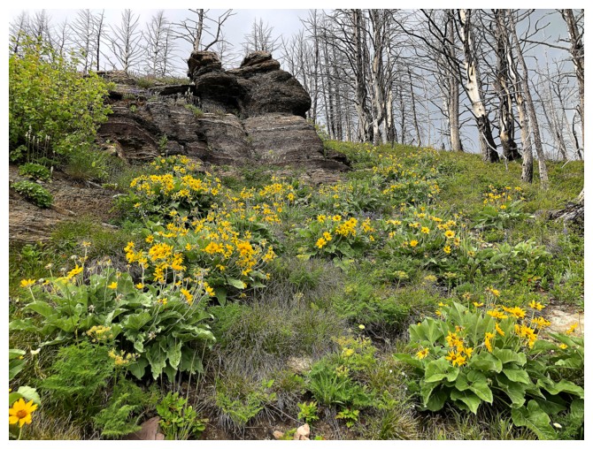
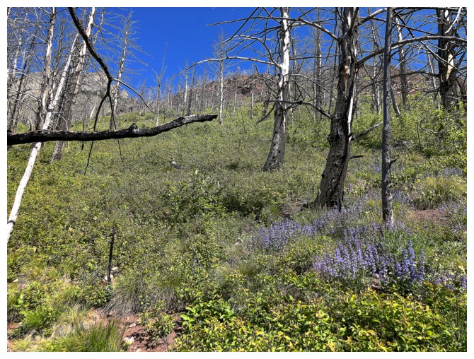
Gotta' stop to photograph the flowers
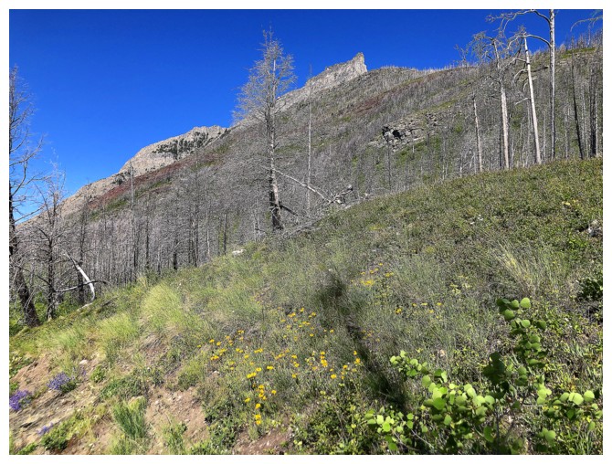
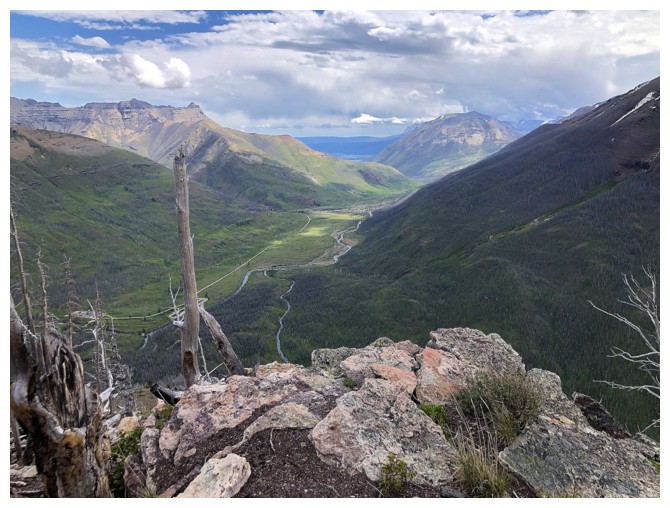
Looking back at the Shoulder
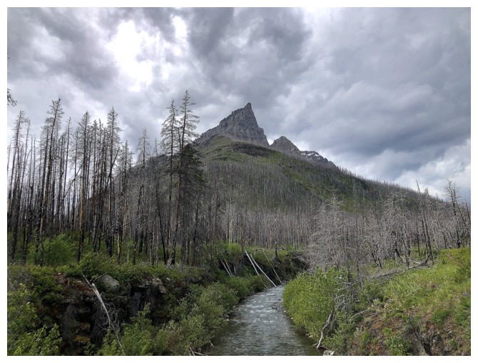
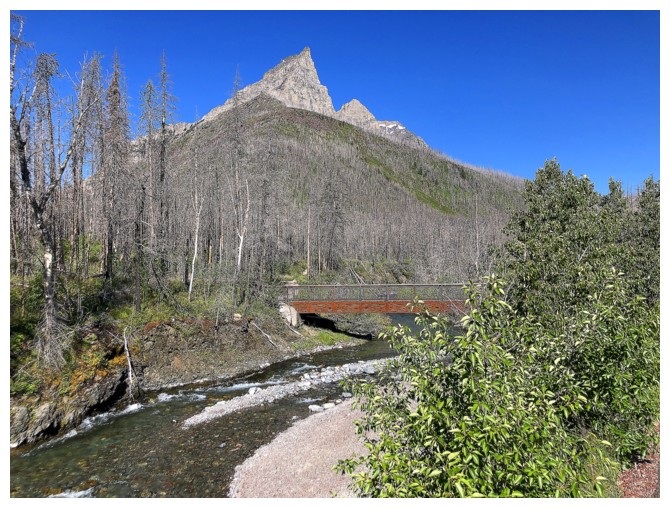
Crossing Bauerman Creek under gloomy skies. The Shoulder in front.
The End
LOG