Bellevue Hill XI
August 3, 2024
Mountain height: 2116 m
Elevation gain: approximately
900 m
Ascent time: 3:35
Descent time: 1:45
Solo scramble.
One of those “park
at a trailhead, start hiking, and see where it leads to” days. I chose the
Lakeview Ridge/Horseshoe Basin trailhead, just to avoid the long-weekend crowds
of Waterton, on this bleak, cloudy, hazy afternoon.
After gaining
the highpoint east of Bellevue Hill’s northeast ridge, I decided to lose
elevation into the Horseshoe Basin and then follow Galwey Brook, upstream. This
would eventually lead to a point near Mount Galwey. From afar it appeared I
would be able to gain the ridge near Galwey and follow it over to Bellevue
Hill. The route unfolded exactly as planned. There were a few scenic points of
interest along the way, but the grim, overcast skies sucked most of the life
out of the colours, usually the best feature of any Southern Alberta trip.
After a short
summit stay, I descended via the east ridge; a relatively quick and painless route,
again with lots of colourful and interesting rock.
Even with the
miserable weather, this turned out to be an easy and enjoyable route, one that
I would likely repeat.
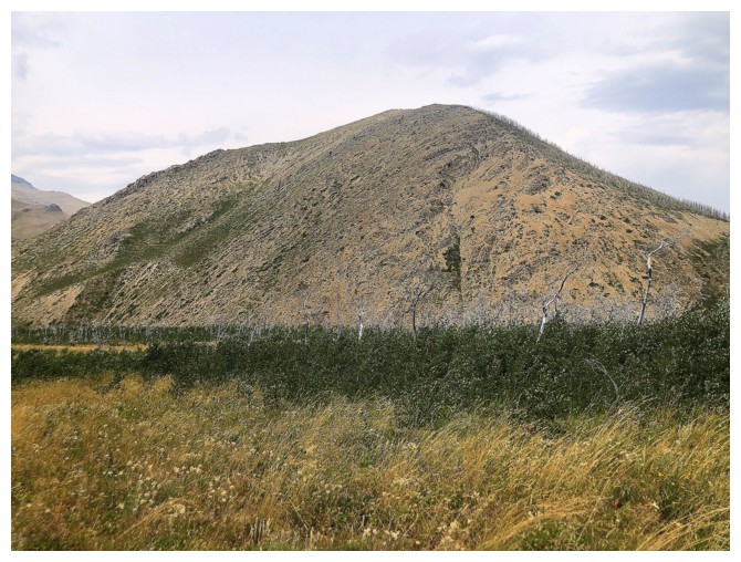
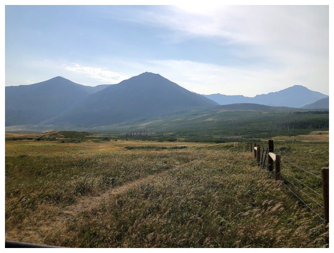
From the trailhead, the east summit of Bellevue at the left; Rogan and Dungarvan at the right.
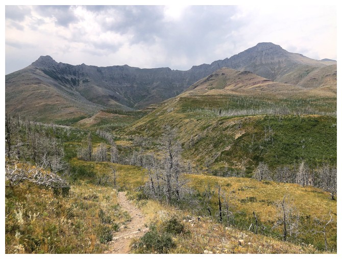
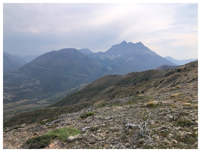
Dreary view to the south
Horseshoe-shaped Lakeview Ridge
The south end of Lakeview Rodge on the west side of the horseshoe. Had a great, snowy day up that route in 2017 with some fine companions.
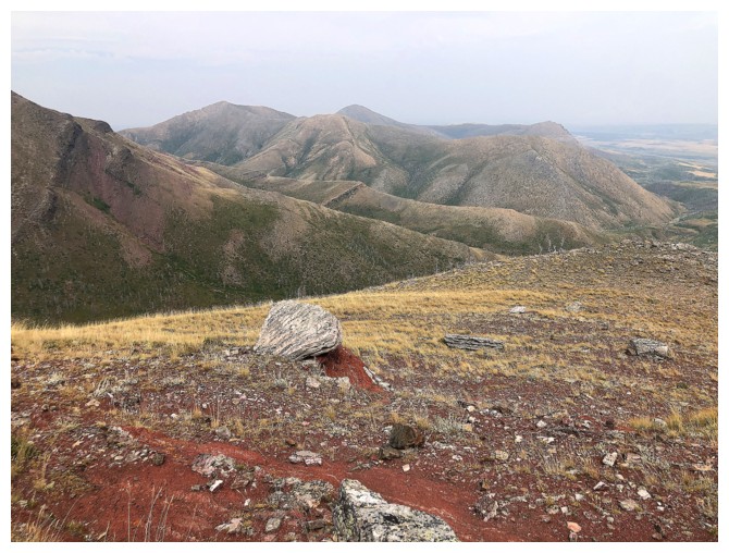
Descending to Galwey Brook
In the Brook. It's completely dry at this point. Eventually I'll head up the ridge near the left.
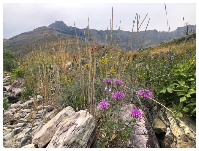
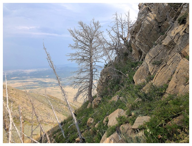
Brief and very welcome wildflower encounter
The second route we took up Rogan Peak (centre) goes from right to left
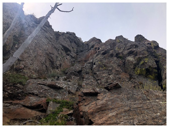
The ascent ridge is interrupted by a few rock bands, but all are easily circumvented
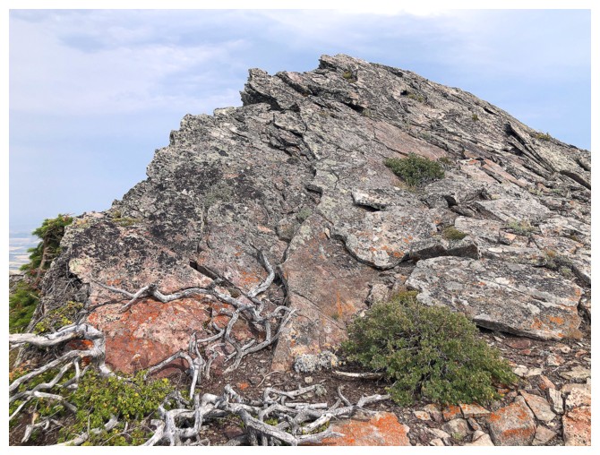
...but not before getting up-close to the rock
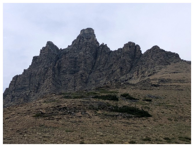
Rogan
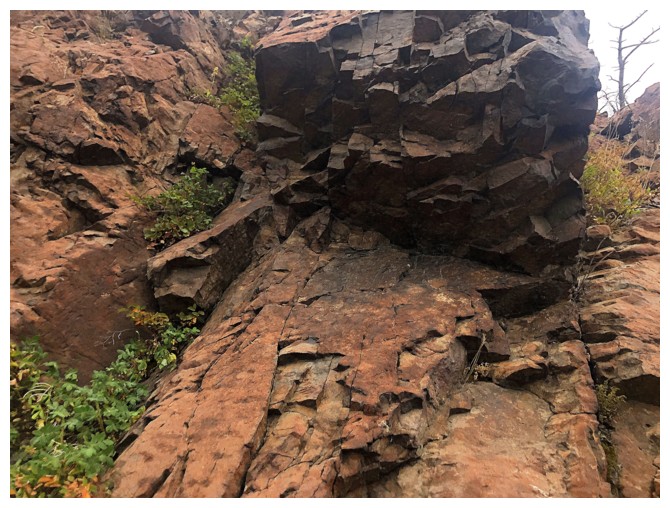
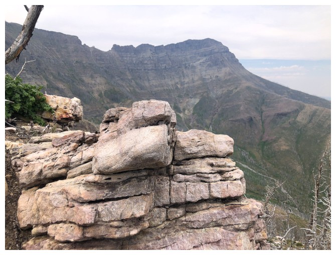
Rock
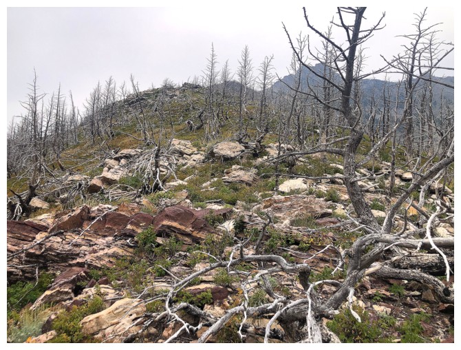
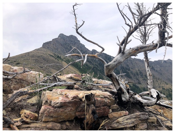
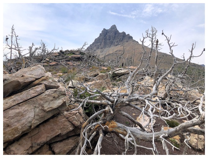
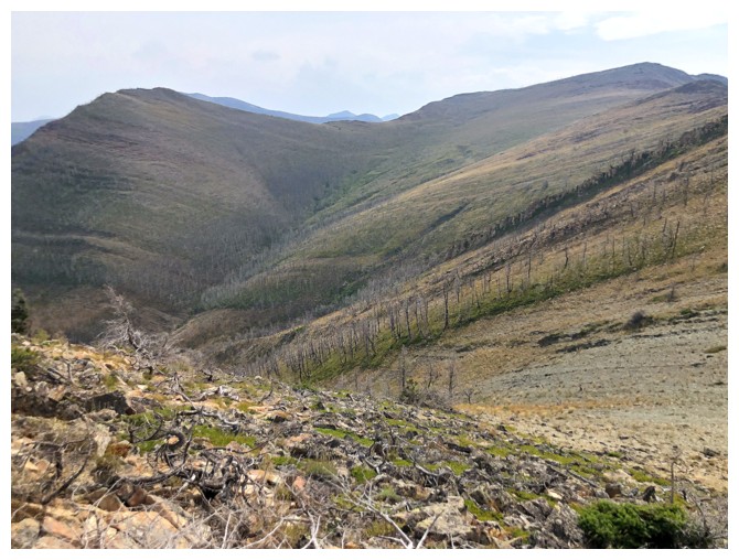
Lots of twisted, dead trees, but again they are easy to get around
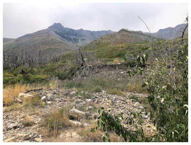
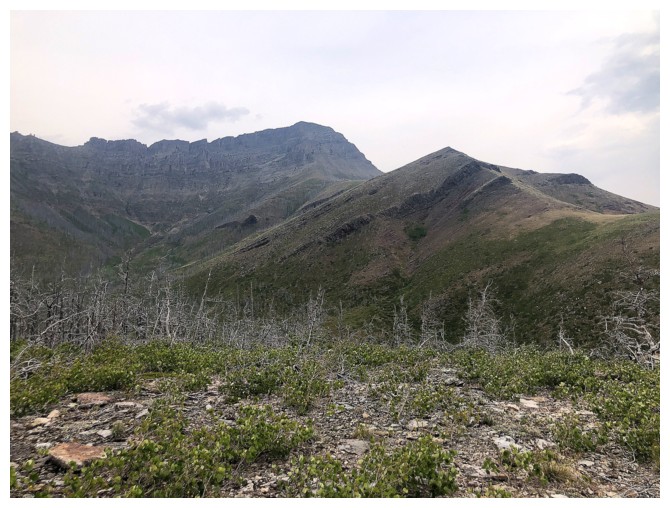
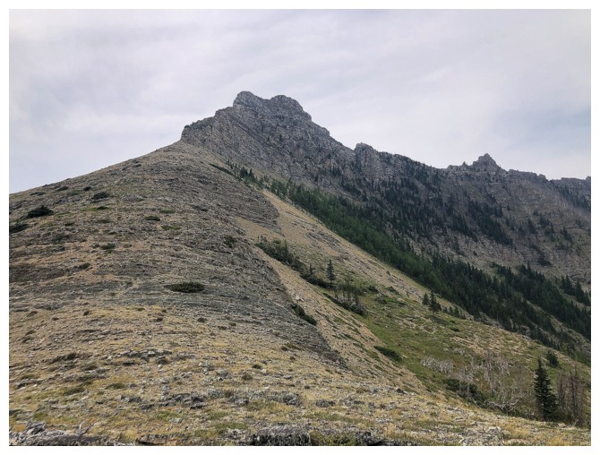
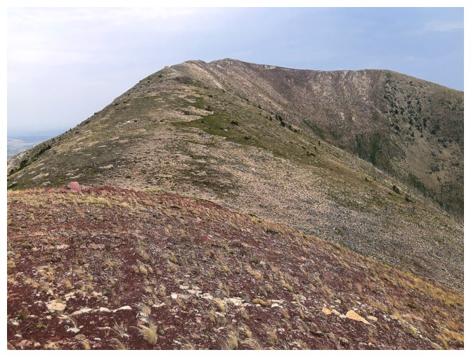
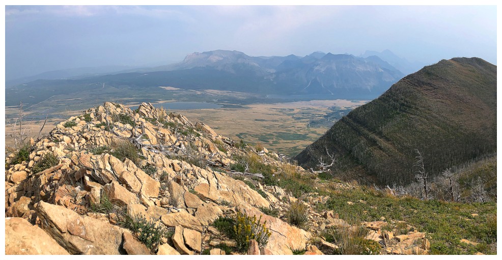
Looking over to the summit of Bellevue
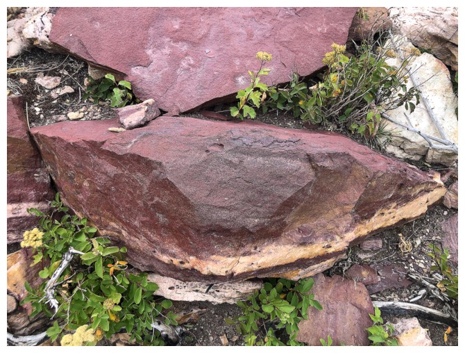
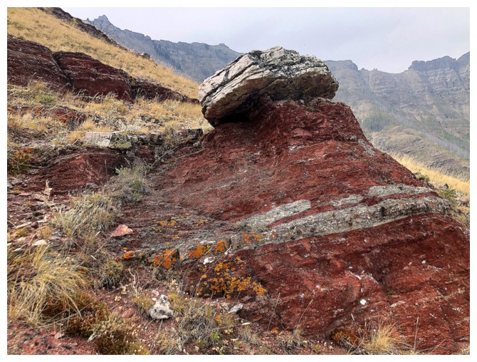
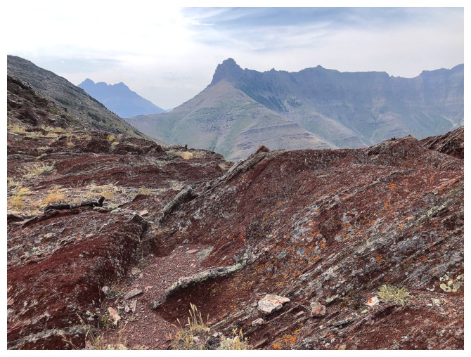
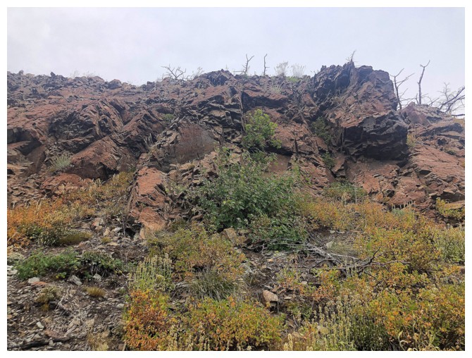
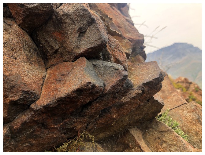
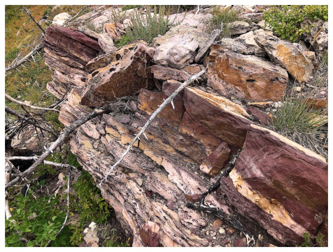
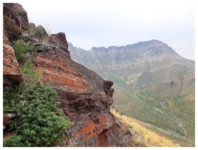
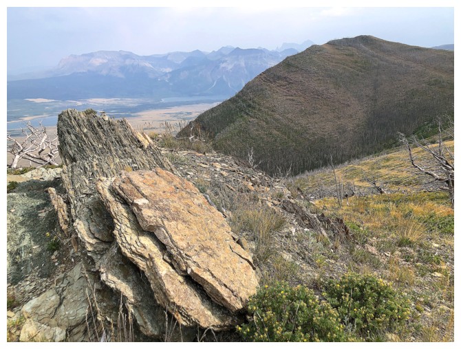
Happy to finally encounter some red argillite
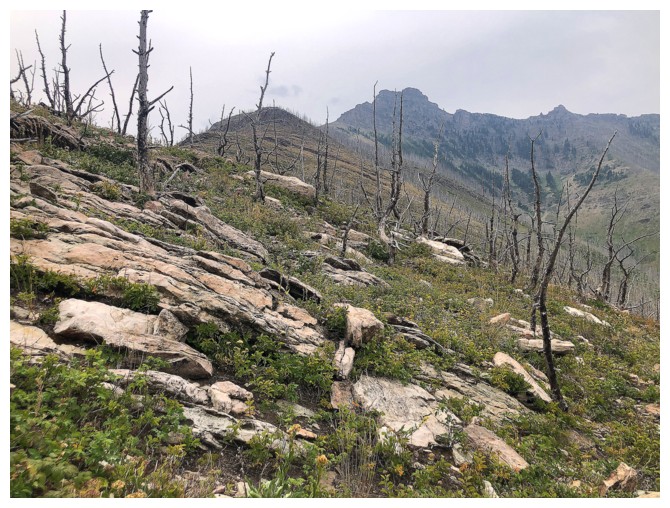
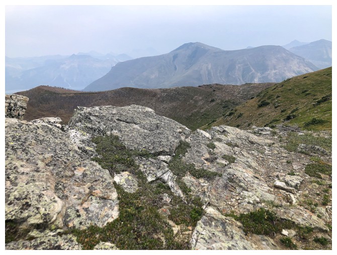
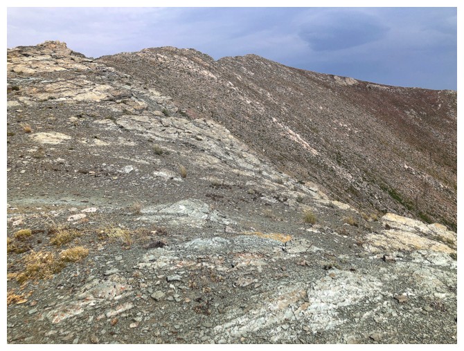
Typical terrain on the ridge
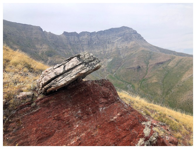
That rock will fall at some point in history!
Same as above with Lakeview Ridge
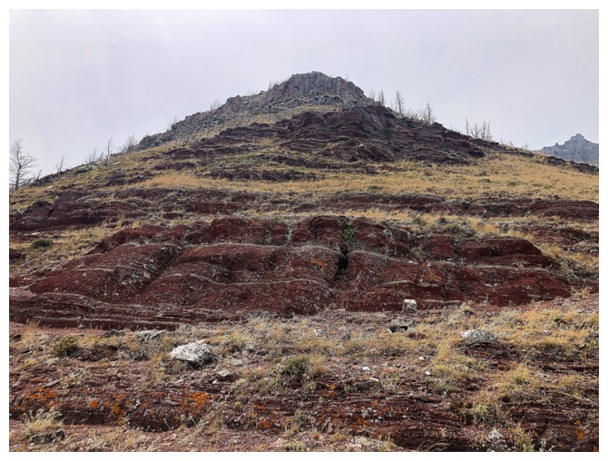
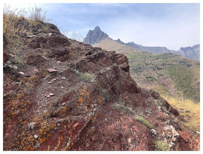
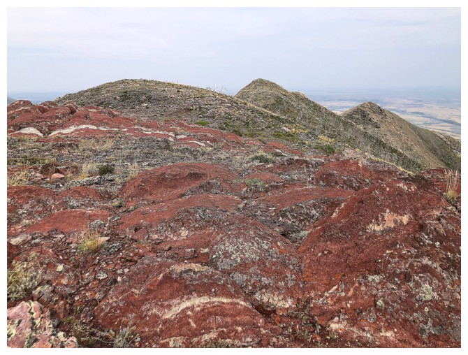
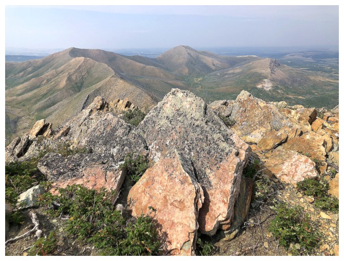
Argillite and Rogan
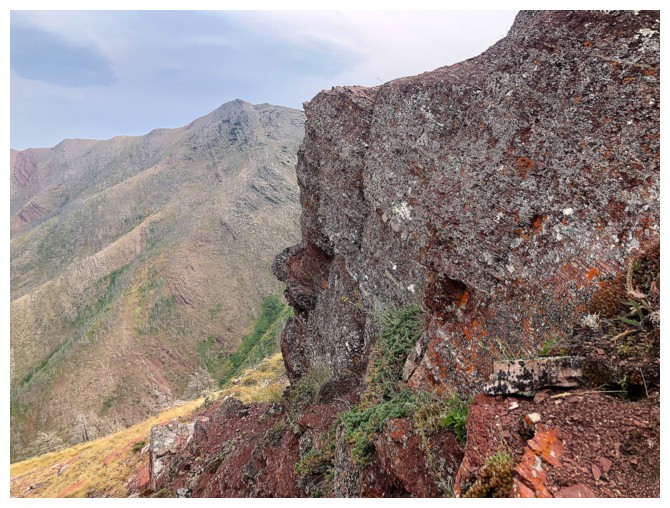
Argillite and Bellevue
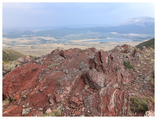
Even the dismal weather conditions couldn't dampen the hue of this brilliant rock
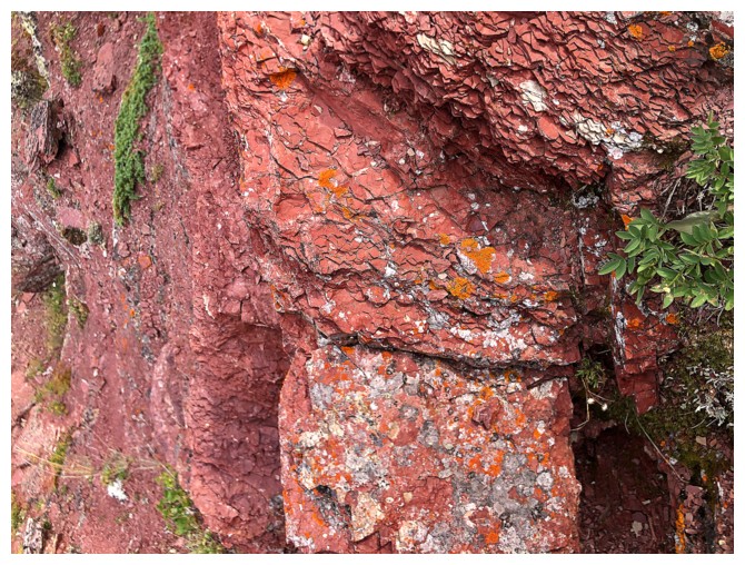
Not so brilliant but still interesting
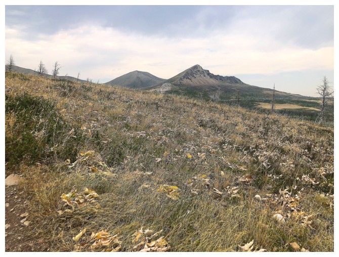
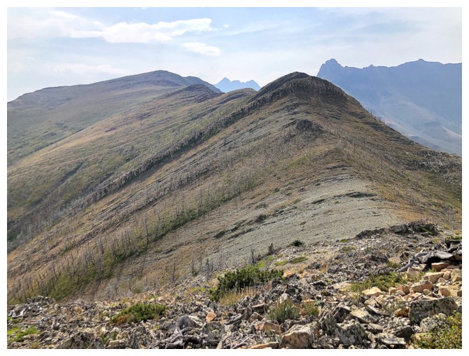
The connecting ridge from Galwey to Galwey North to Rogan is a fun one
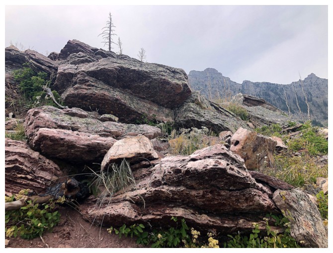
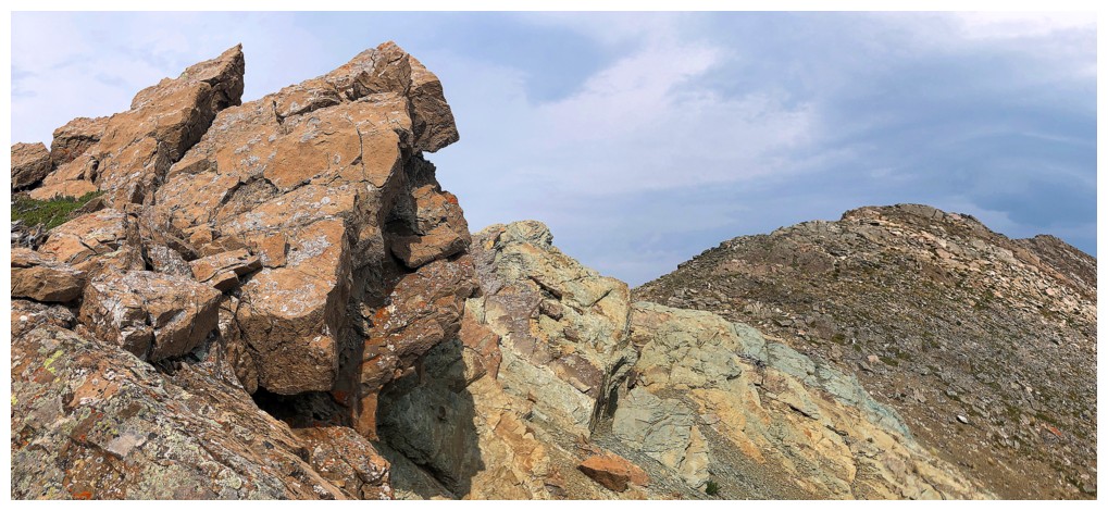
More interesting rock
Almost ready to traverse over to the connecting ridge between Galwey and Bellevue
Mount Crandell peaks over the ridge
There's even an animal trail that leads in the right direction
Galwey from the connecting ridge
A close-up brings back memories of an attempt to summit Galwey from this side. The weather was infinitely better in 2010!
The easy route to Bellevue is revealed
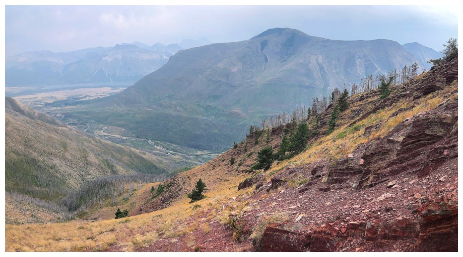
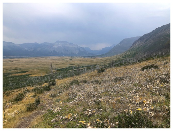
Lacklustre views of Ruby Ridge, Lineham, and Blakiston
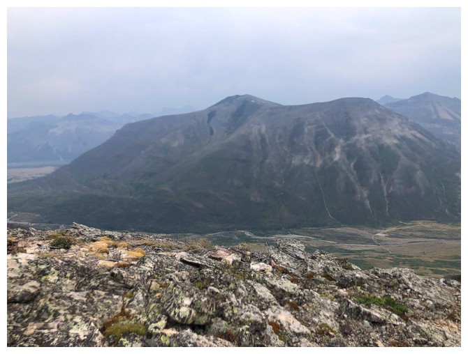
Same for Crandell
Galwey and a good mess
Galwey without the good mess
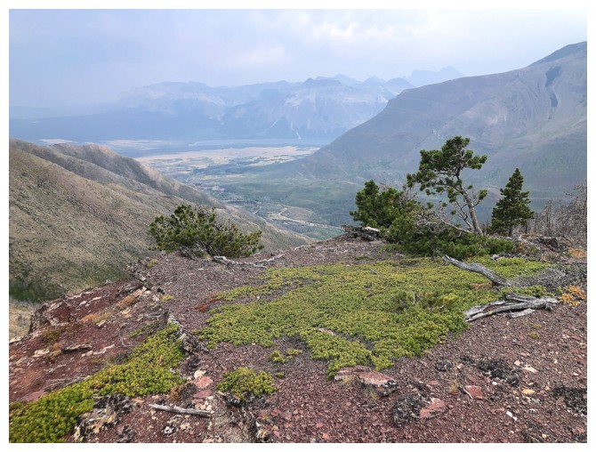
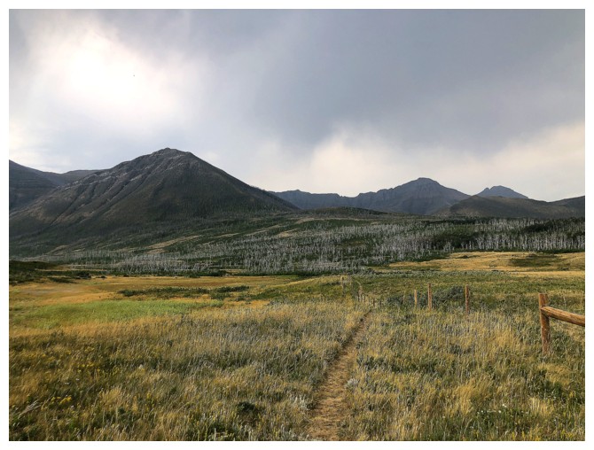
A green oasis in bleak surroundings
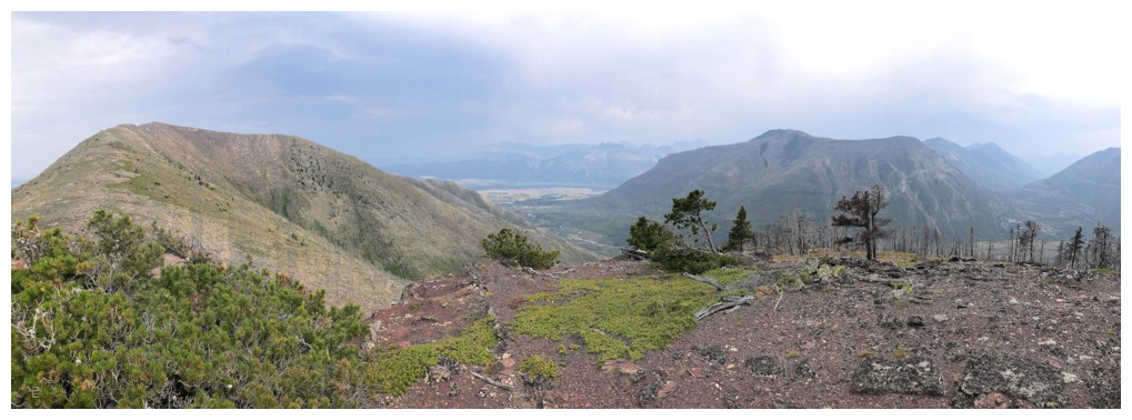
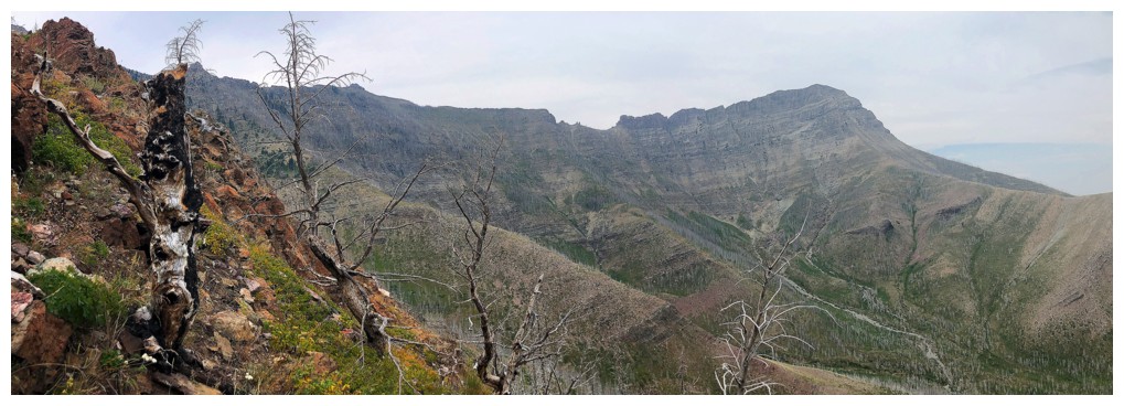
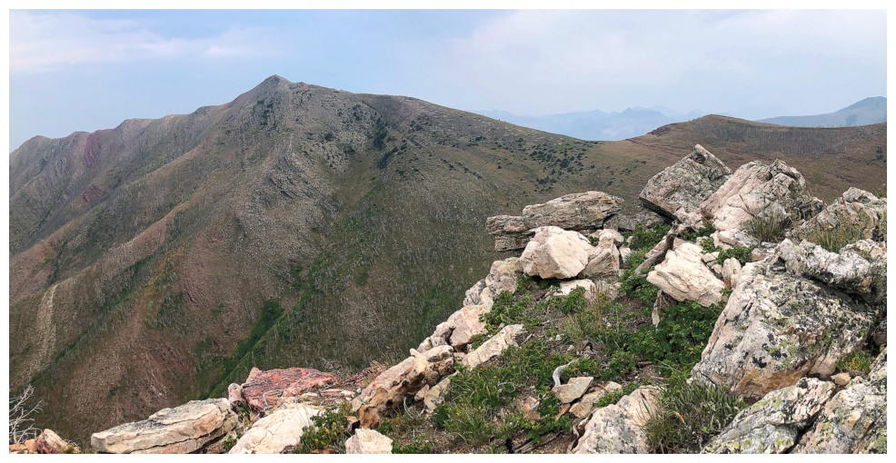
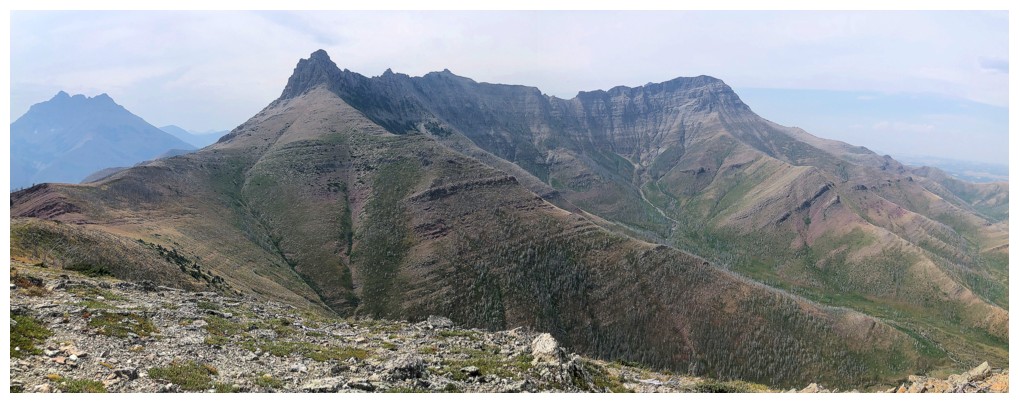
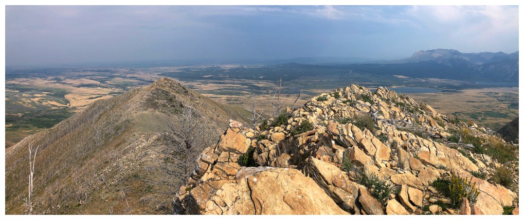
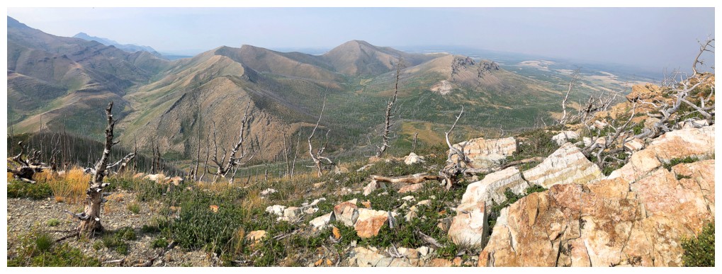
Pano 1
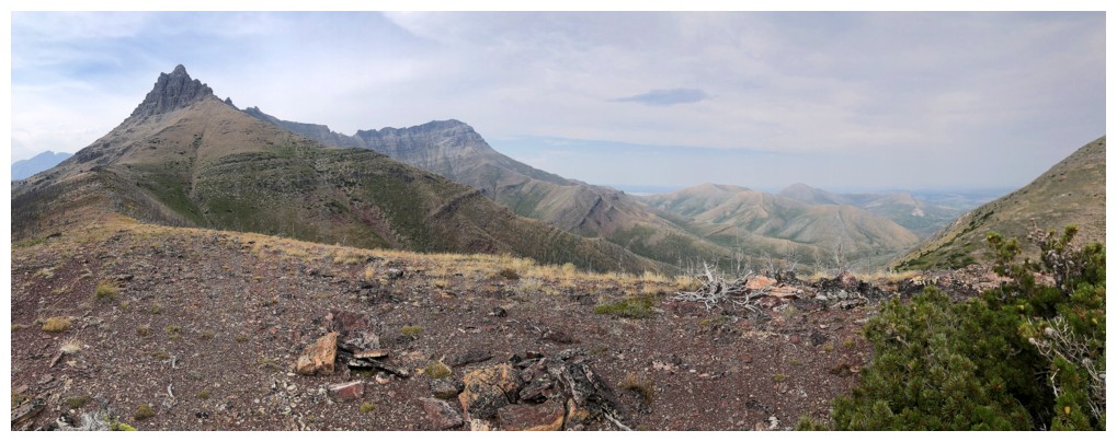
Pano 2
The oasis and Crandell
Approaching another argillite outcrop
The argillite changes to green
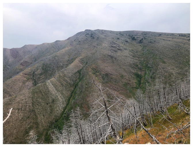
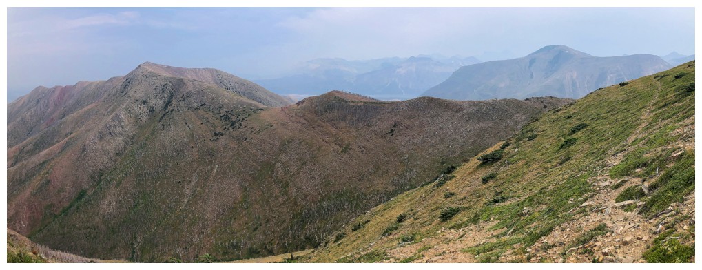
The view of Lakeview Ridge in its entirety is always gratifying
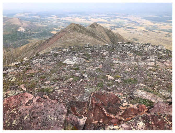
So is the Galwey to Rogan traverse
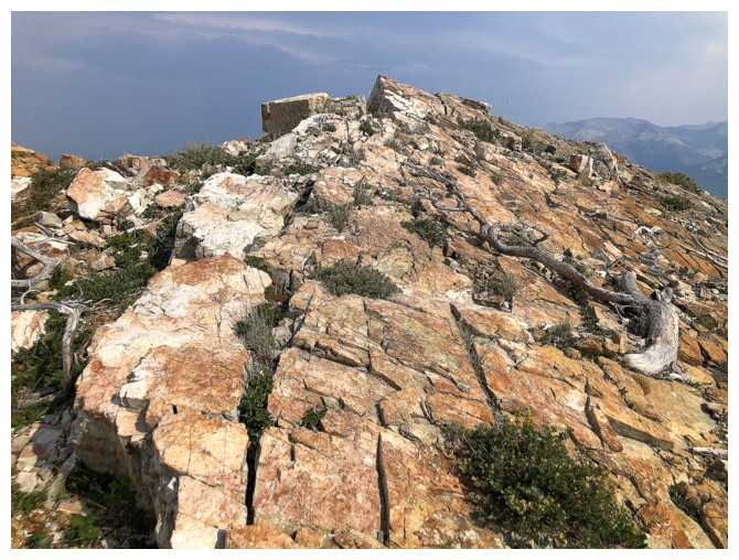
Some pleasant terrain to finish the ascent
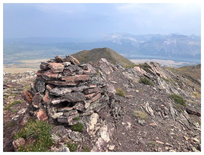
Big summit cairn
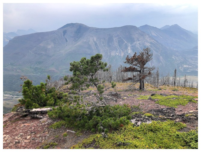
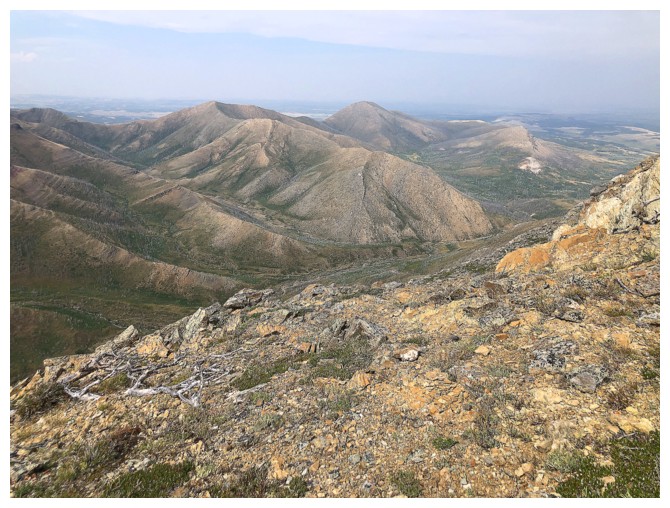
Dreary summit views
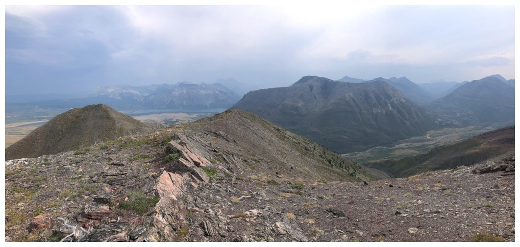
Southwest
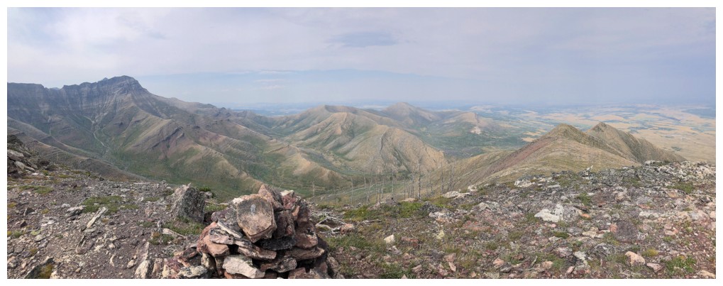
North
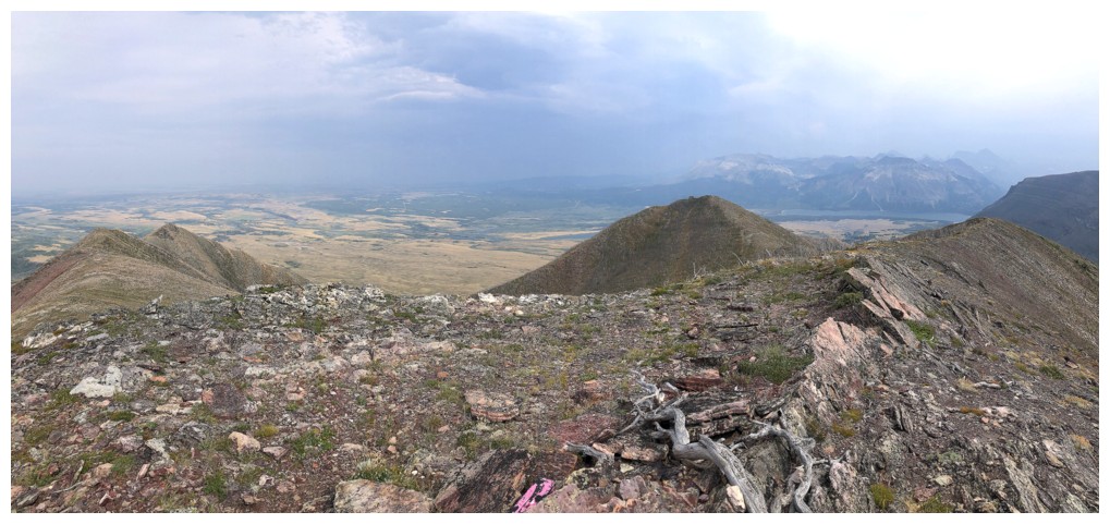
Southeast
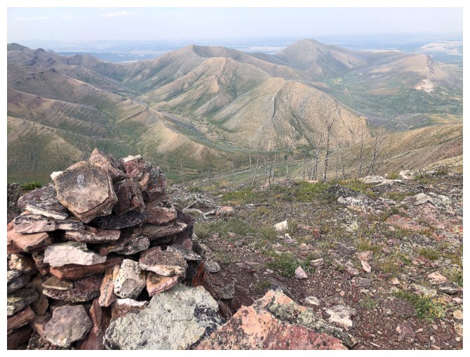
The cairn and Lakeview
Heading down
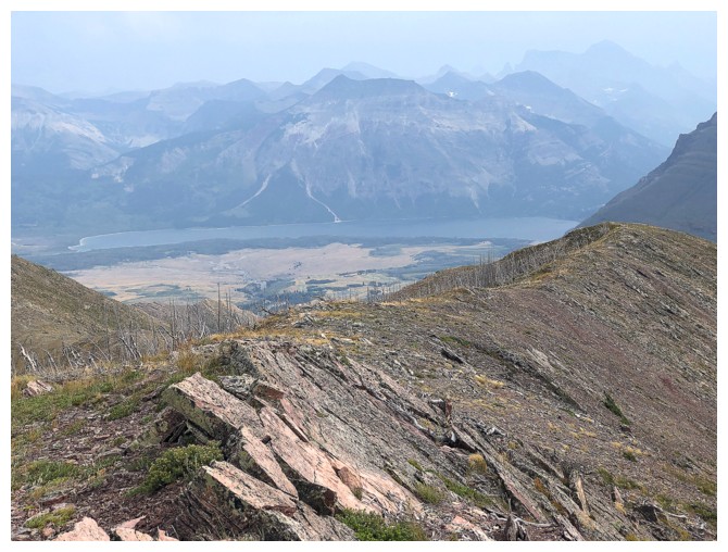
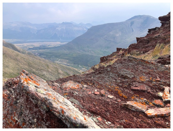
Mount Cleveland is barely visible at the right. Vimy Peak in front of the Middle Waterton Lake
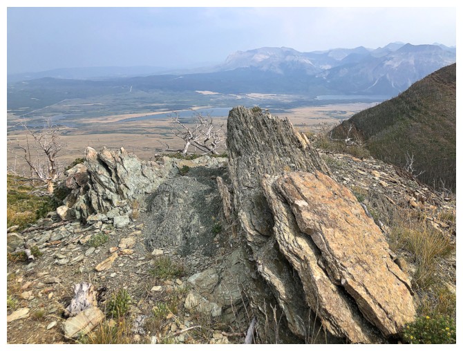
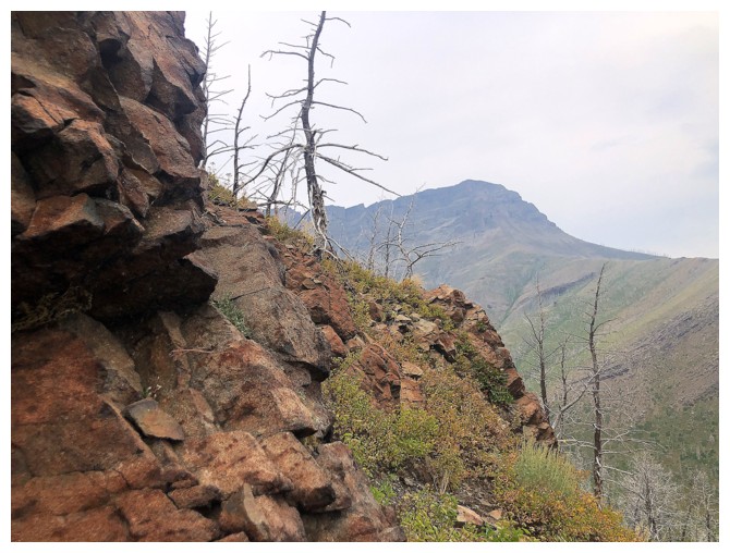
Another welcome run-in with the red rock. It's all part of the same rock band, just on different ridges.
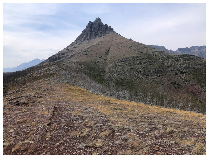
The false summit of Bellevue at the right
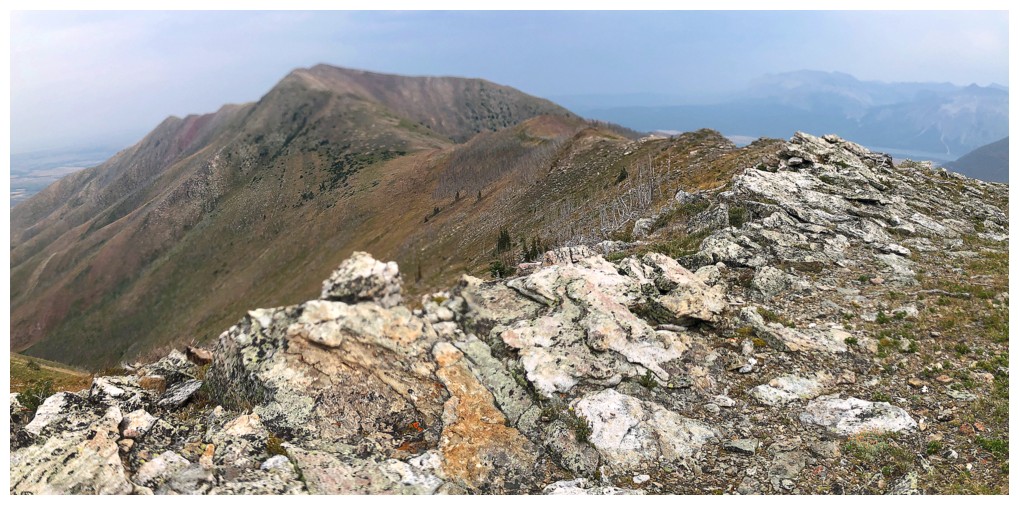
The highest point of Lakeview Ridge is at the left, not in the middle
One of my favourite dead trees in the Rockies. It looks great when covered in frost.
Had to run down this drainage to get out of an insanely cold wind in December, 2018
Looking back at some of the descent route
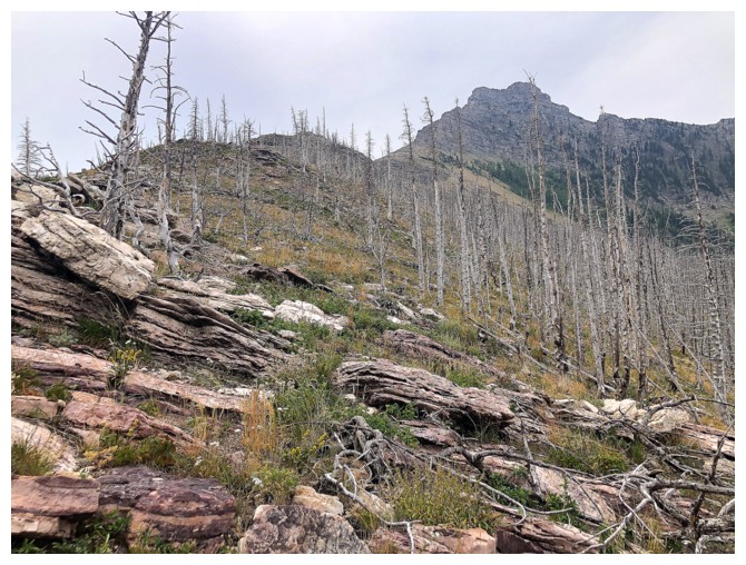
Last of the cool rock before descending through a burned-out forest to the col
Back at the trailhead and the weather is marginally better but still dismal