Horseshoe Basin Outlier II
March 21, 2026
Highpoint: 2118
m
Elevation gain: 750 m
Ascent time: 3:45
Descent time: 2:30
Solo scramble.
Despite the
incredibly miserable weather this turned out to be a very enjoyable trip.
Greatly in need
of some exercise, following a somewhat sedentary two-week stretch, I decided to
do a trip even though the weather was forecast to be lousy all day. Yet again I
chose the Horseshoe Basin trailhead as a starting point, with no specific
objective in mind. 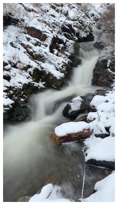 There are so many possibilities for exploration in this area.
Upon reaching
the minor pass at the base of Bellevue Hill’s northeast ridge, I decided to
descend to Galwey Brook and see where that would take me. 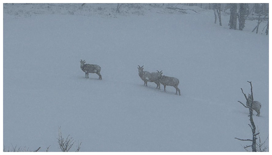 The brook was running
high and tricky to cross without getting my feet wet, but once on the other
side, a new route to explore was revealed – up one of the subsidiary creeks
heading directly towards the summit of Rogan Peak. Of course, the summit of
Rogan is unachievable as a scramble from this side, however, a significant
summit was never on the agenda for this bleak day.
The brook was running
high and tricky to cross without getting my feet wet, but once on the other
side, a new route to explore was revealed – up one of the subsidiary creeks
heading directly towards the summit of Rogan Peak. Of course, the summit of
Rogan is unachievable as a scramble from this side, however, a significant
summit was never on the agenda for this bleak day.
Following the
creek went with general ease and I gained a surprising amount of elevation.
Then things got more serious and moving out of the drainage became imperative.
At this point, the ridge Mark and I used on our first ascent of Rogan sat on my
right and a ridge I had partially ascended several years ago on my left. Either
would work but I had not been up the left ridge to its highest point and so I
picked that direction.
Getting over to
the ridge was definitely the crux of the day – deep, sometimes unsupportive
snow and quite steep in places. 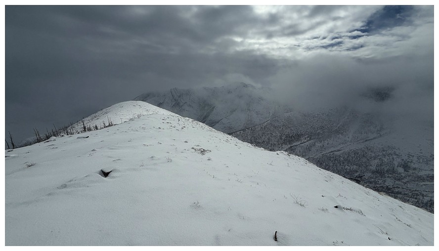 Once on the ridge, I ascended it for a short
distance and then stopped for a quick break. In near whiteout conditions,
continuing right up to the rock face would have been a fruitless endeavour, not
to mention potentially dangerous.
Once on the ridge, I ascended it for a short
distance and then stopped for a quick break. In near whiteout conditions,
continuing right up to the rock face would have been a fruitless endeavour, not
to mention potentially dangerous.
Heading
directly down the ridge was a logical descent route. I would eventually
intercept the highpoint I reached in 2021. Except I didn’t. About halfway down,
and in very poor visibility, I discovered I had inadvertently taken the
wrong ridge. Thankfully this ridge too led easily back down to Galwey Brook and
eventually the main trail.
Over the years,
I have dramatically shied away from doing trips on socked-in days, simply
because scenery and views are my only motivation for going out 99% of the time.
However, this trip reminded me that the mountains can be enjoyed in any
weather. Granted, it’s highly unlikely I will make a habit of the “socked-in
days” practice, but I’m glad I still managed to find lots to appreciate and be
thankful for. (including ending a sentence with a preposition!)
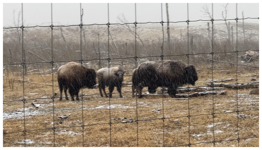
The bison are probably right at home in the miserable weather
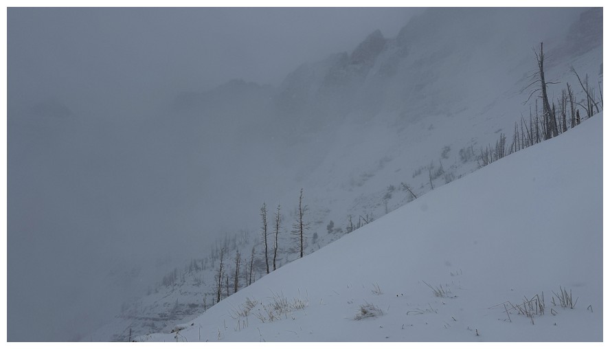
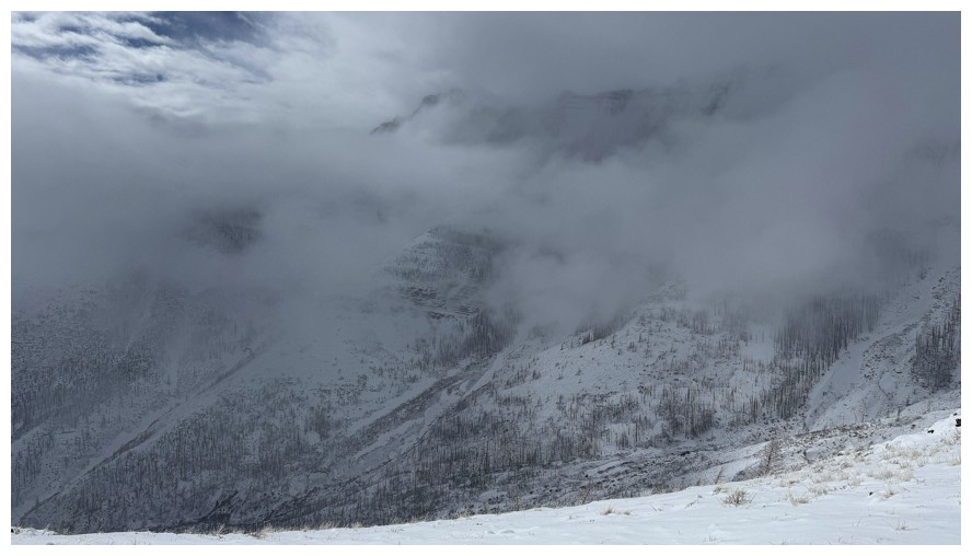
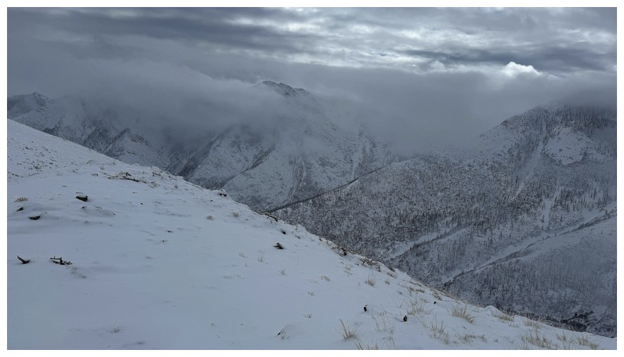
The south side of Lakeview Ridge
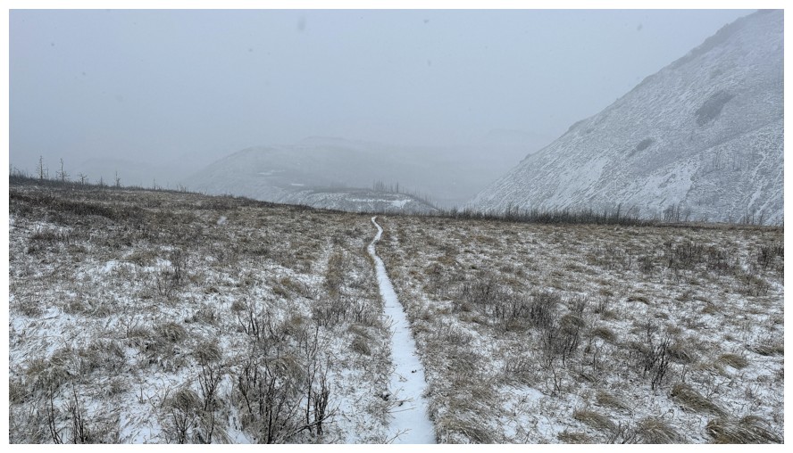
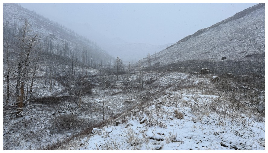
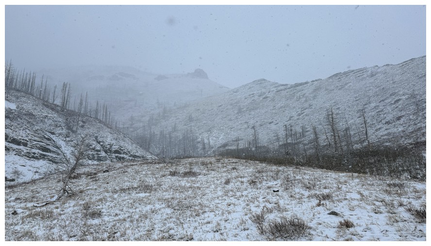
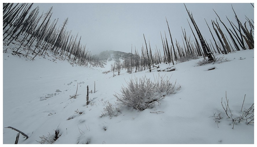
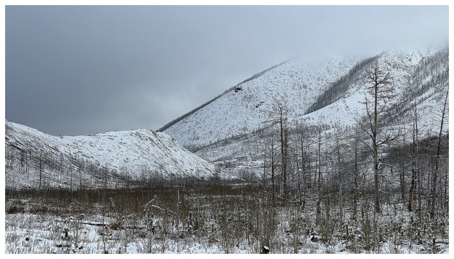
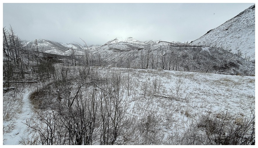
Heading down to Galwey Brook. There are a host of peaks in front but the weather wants to hide them.
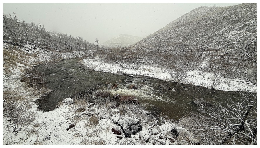
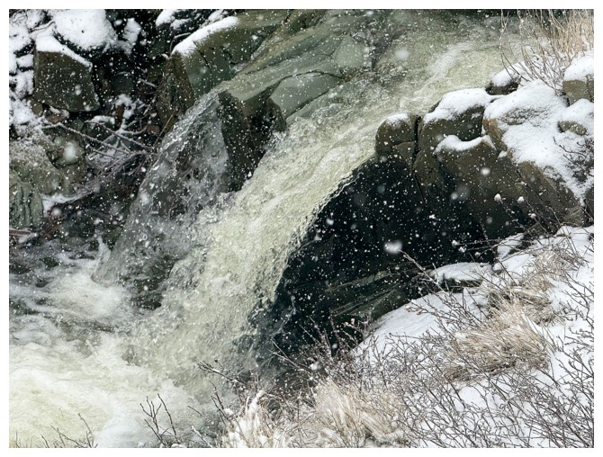
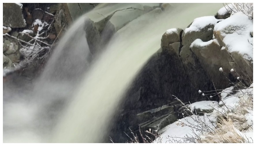
The brook is running high - as it should be at this time of the year
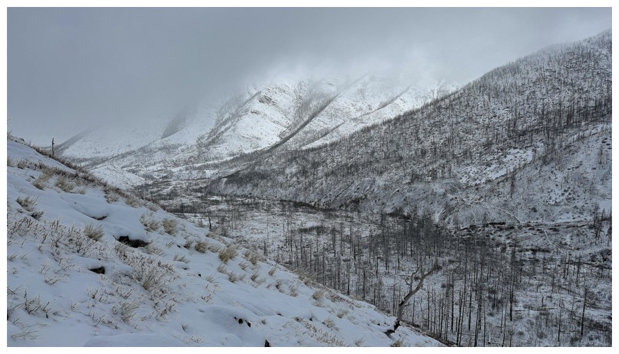
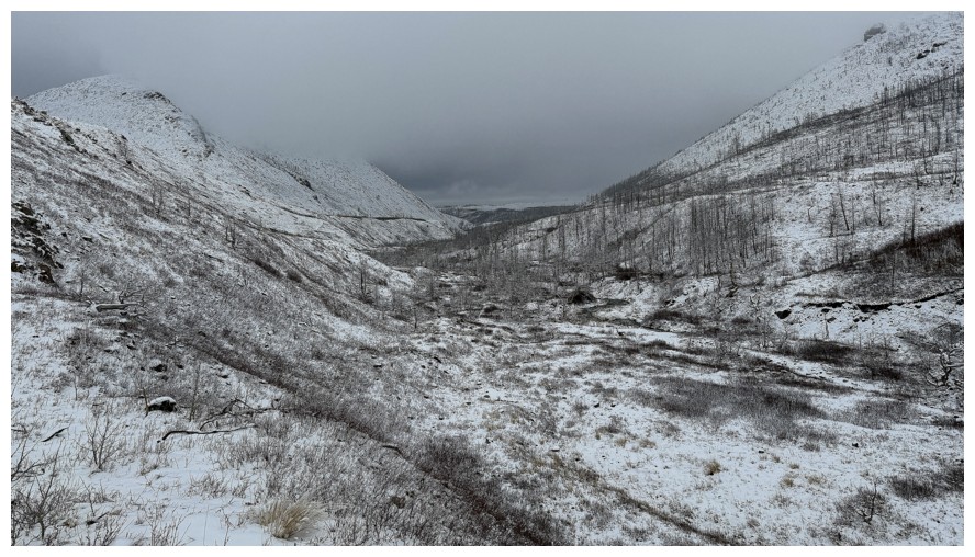
On the other side and heading up the valley
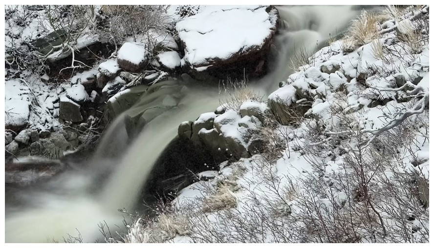
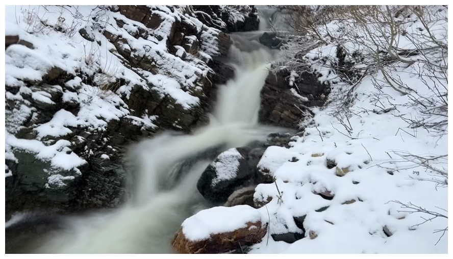
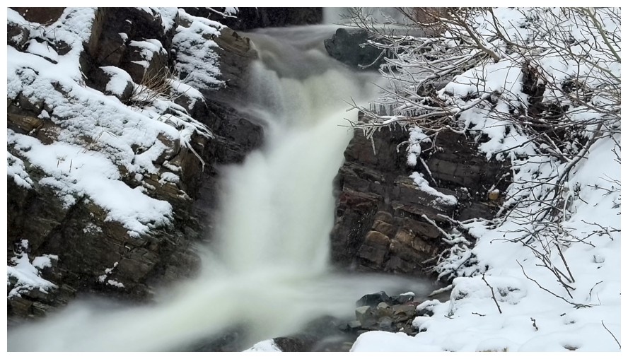
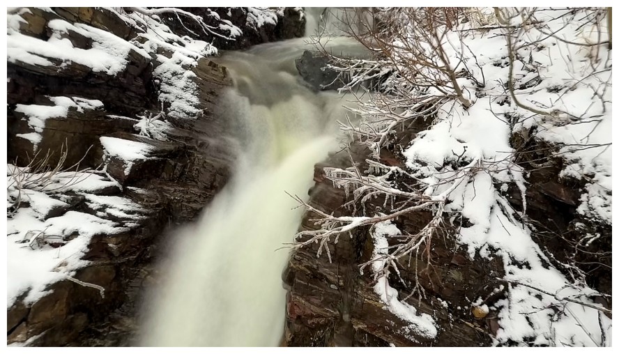
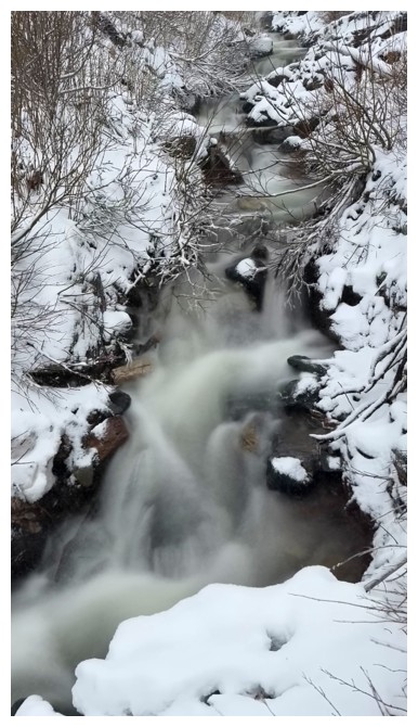
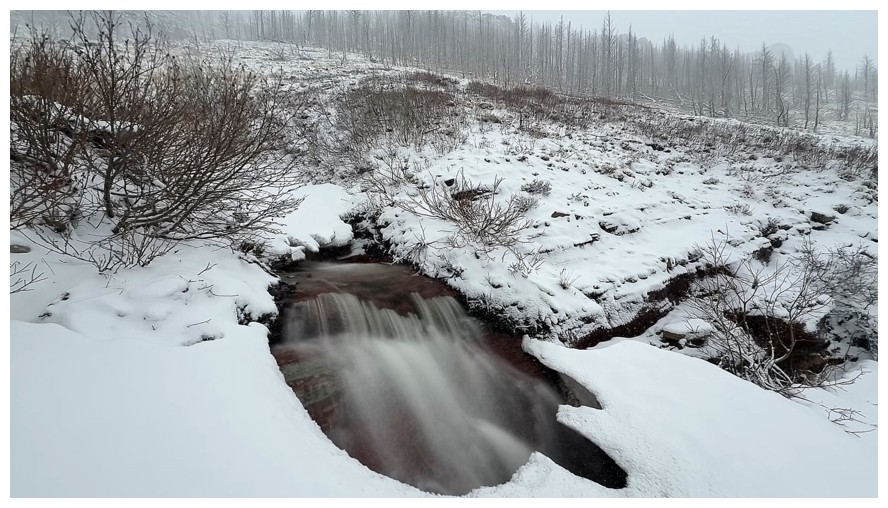
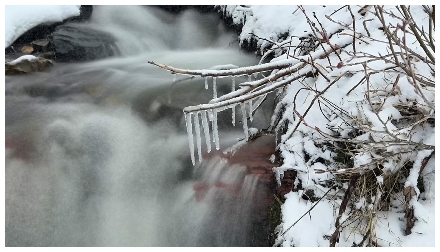
Stayed alongside this creek for a few long exposure photos
The ridge Mark and I used to access Rogan Peak
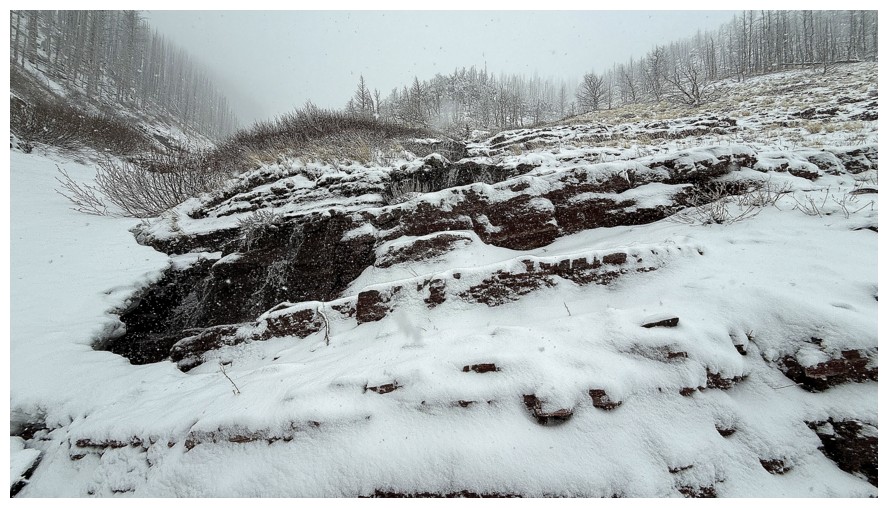
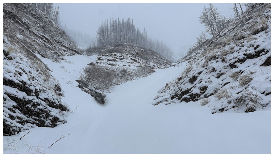
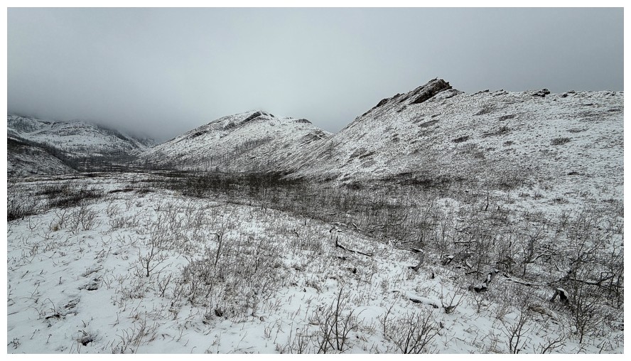
Not much to see looking back down the valley
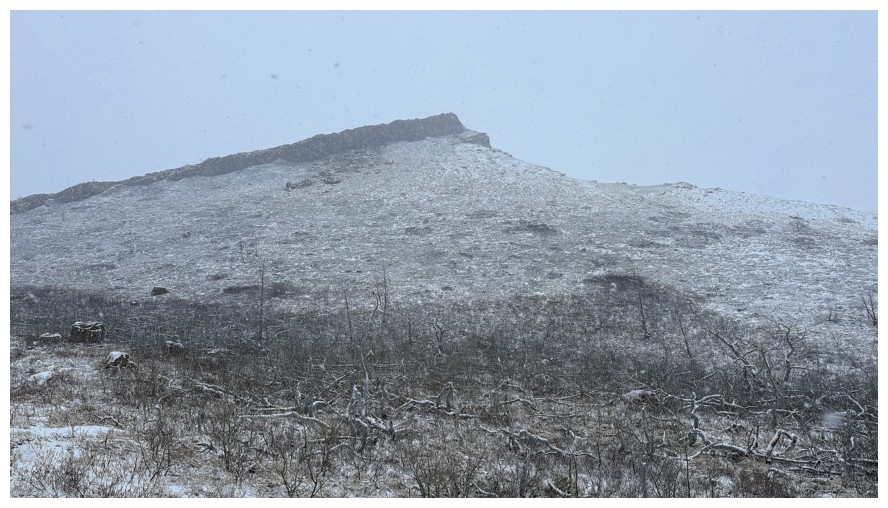
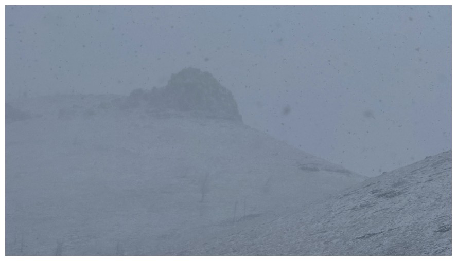
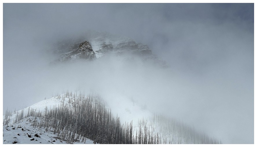
The outline of Rogan Peak can just be seen
That ridge again
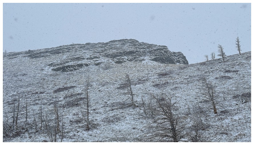
The first cool rock band on the ridge
The second
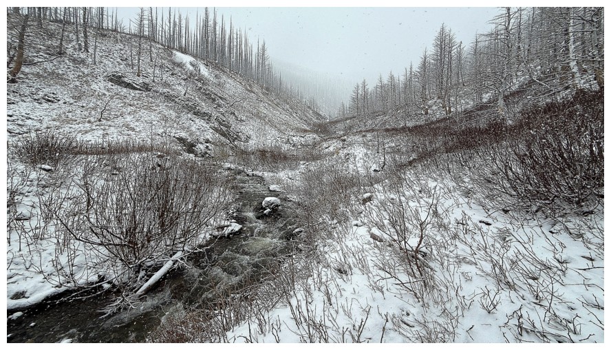
The creek turns north, running between the Rogan ridge and the Horseshoe Basin outlier
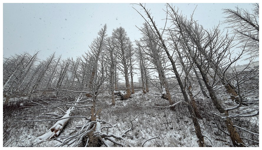
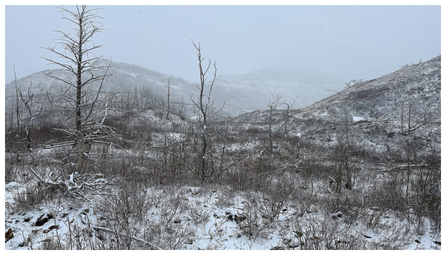
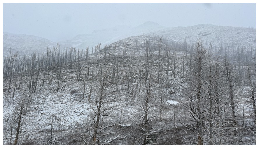
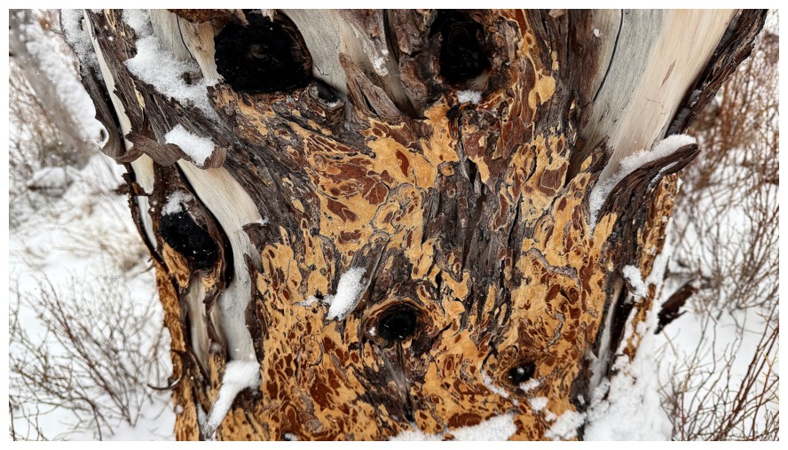
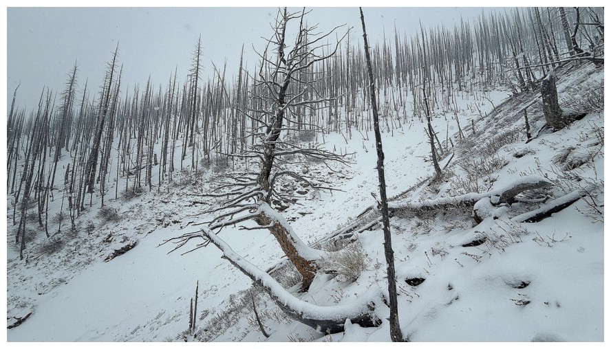
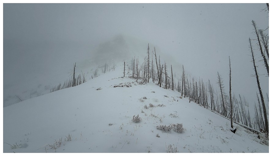
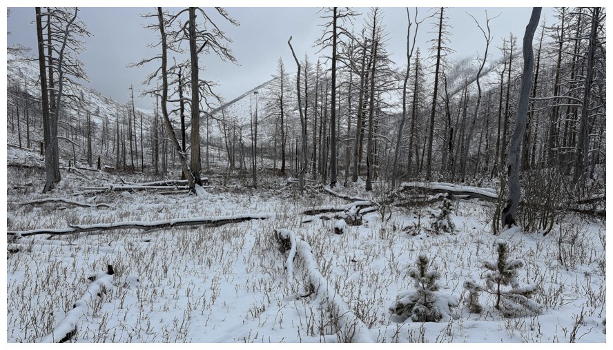
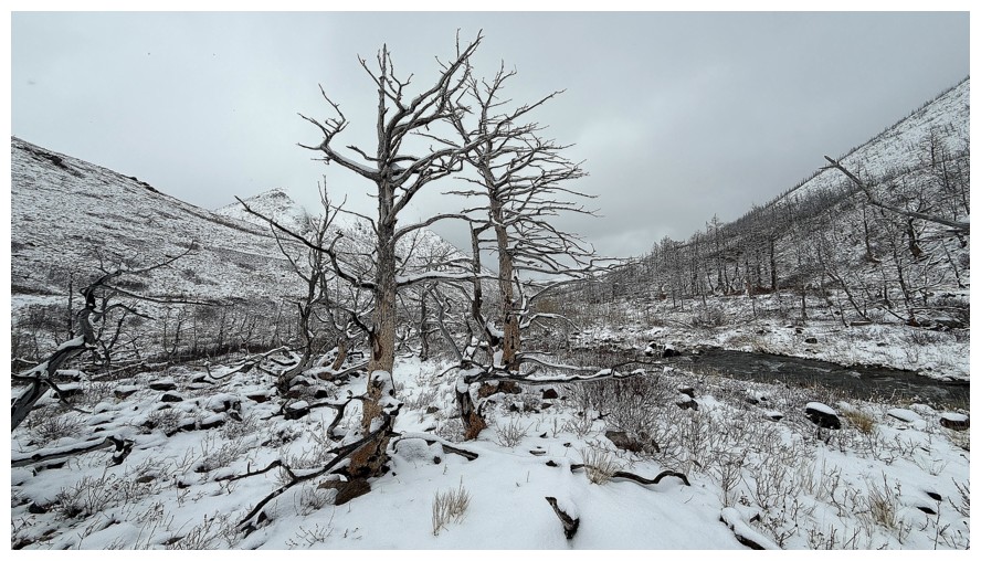
When there are no views, photograph the trees
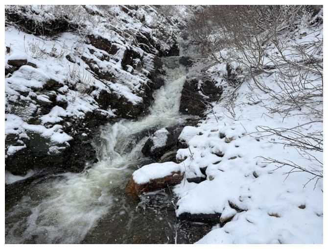
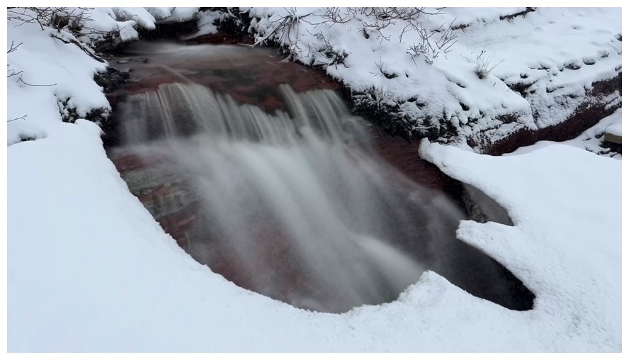
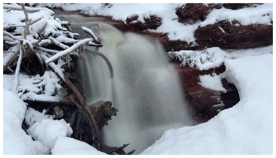
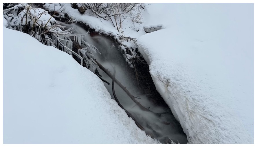
And the water
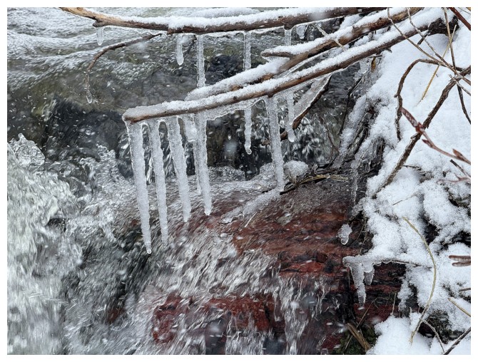
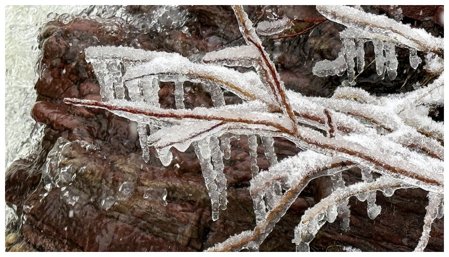
The icicles on the foliage also make great photo subjects
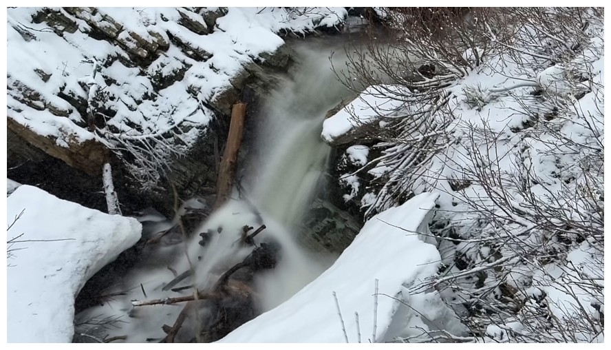
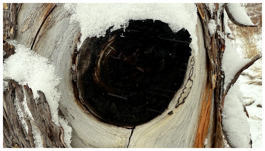
Quick break from the water and onto the wood
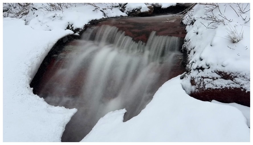
Back to the water
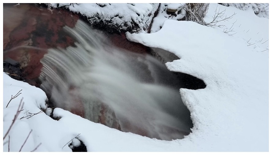
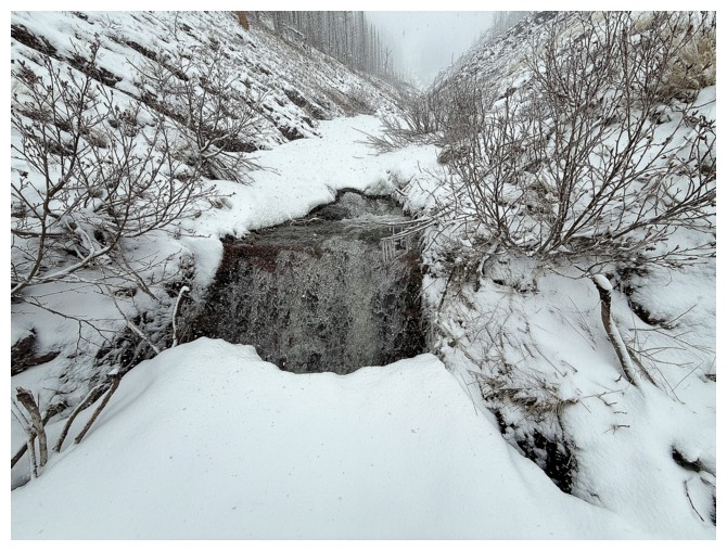
Steered clear of the edge of this one. There appeared to be a huge hole below the snow.
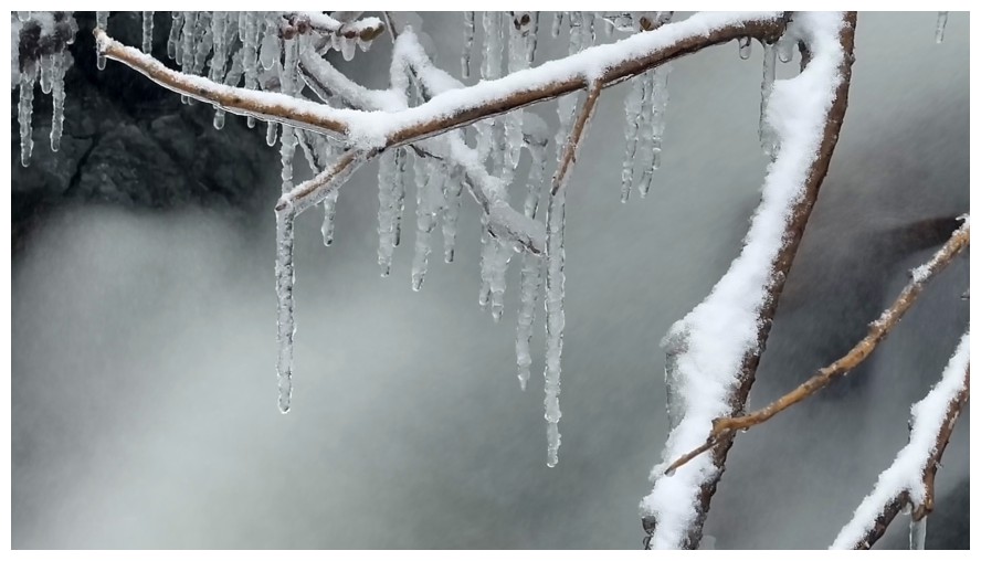
More icicles
The creek splits. I took the left fork.
Another hole you want to steer clear of
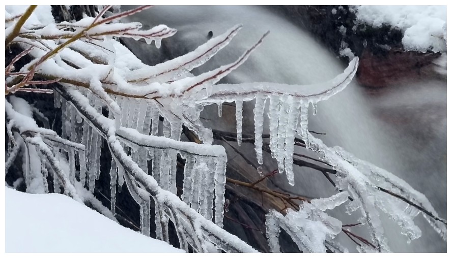
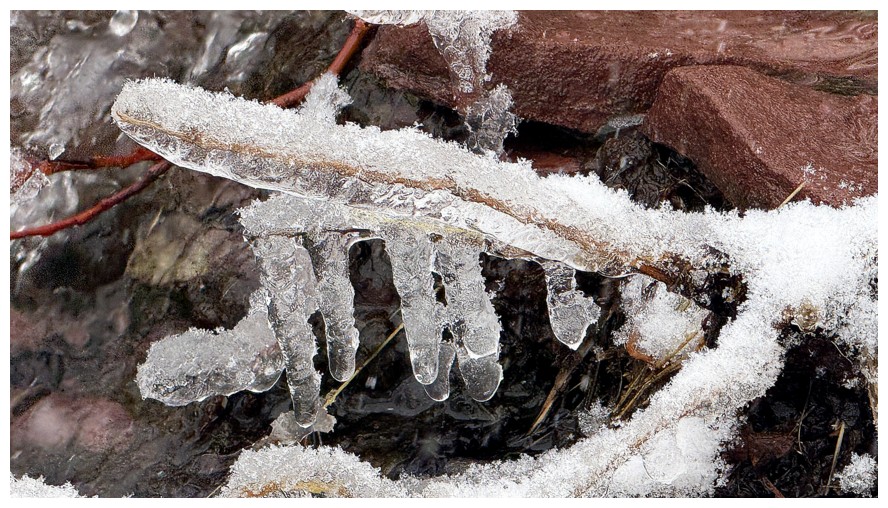
Last of the icicles
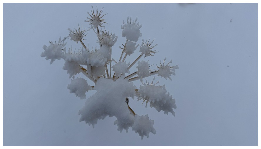
Snow on winter foliage
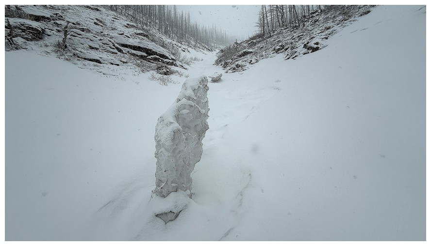
Unusual pinnacle of avalanche debris
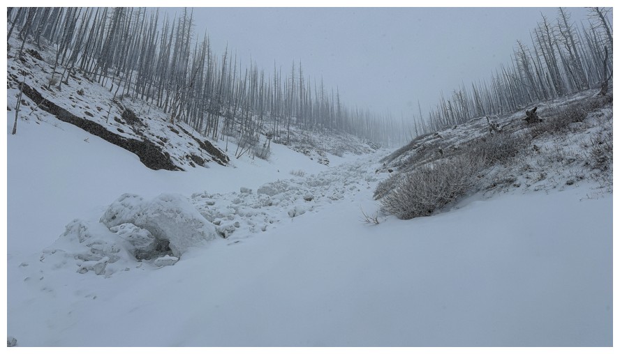
The avalanche from where it came
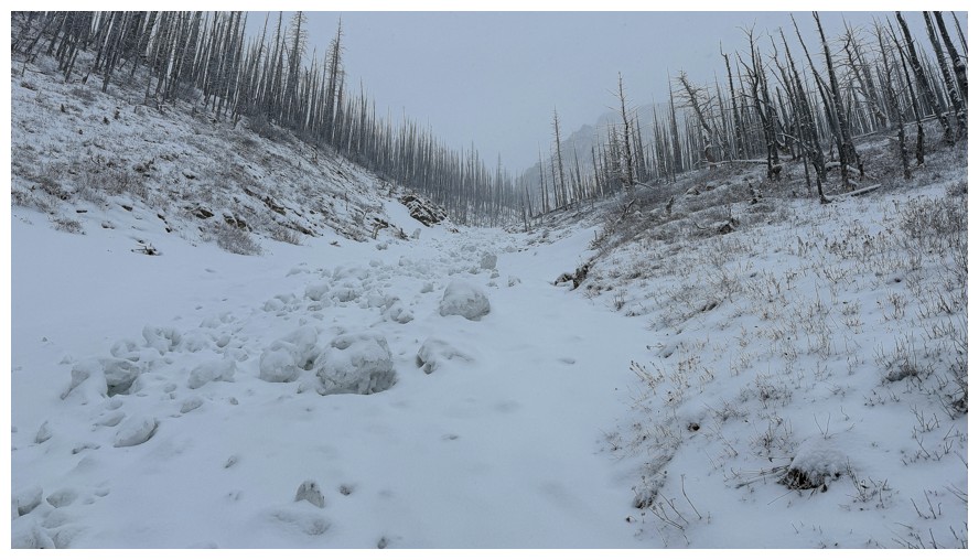
Sticking to the right side of the gully
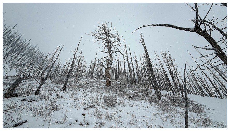
More tree scenery
The terrain gets fairly steep up high and staying in the gully would
not be wise. I cut over to the left shortly after and worked my way
over to the ridge - the crux of the day.
On the ridge, looking up it. Rogan Peak is right in front, but you wouldn't know it.
The view down the ridge isn't any better
Break time
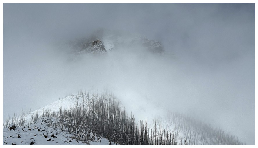
The outline of Rogan appears again
So does a little of the connecting ridge between Rogan and Galwey North
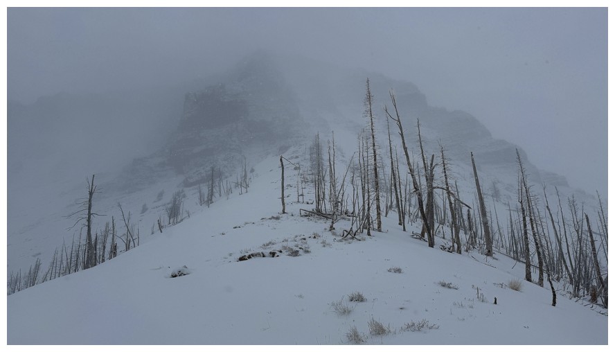
More of Rogan, but that's as good as it would get
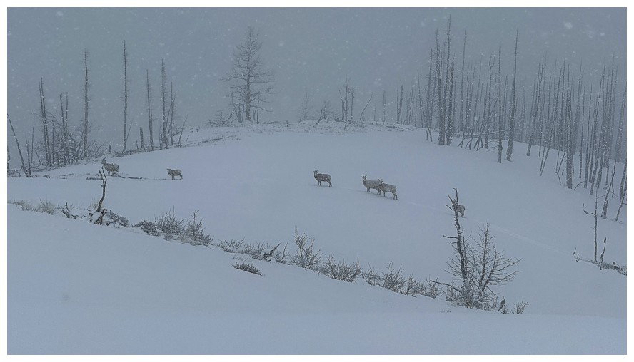
This group of sheep kept a close eye on me
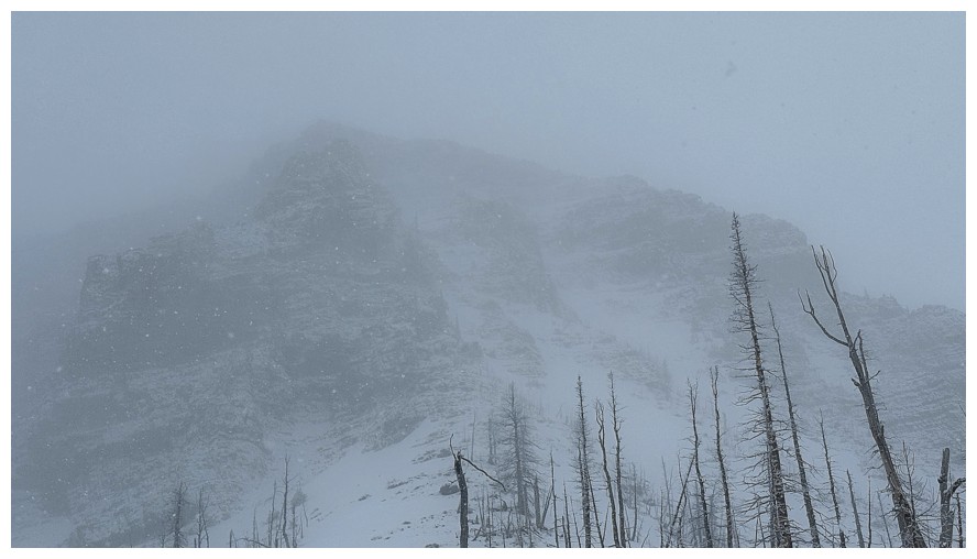
Rogan
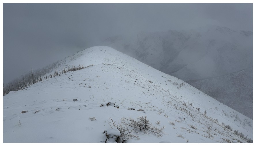
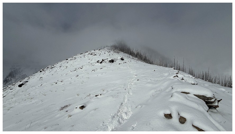
Heading down the easy ridge
The clouds lift a little for a short time
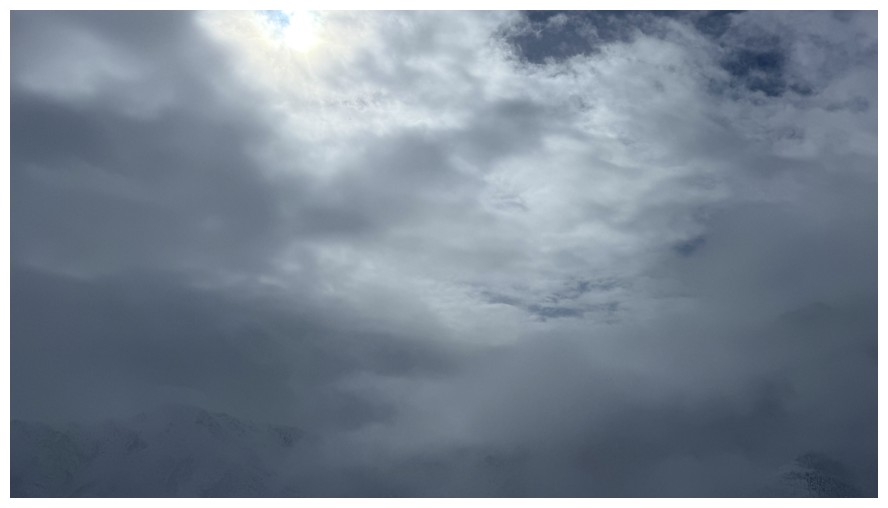
A small sucker patch of blue sky
The best view I got towards Mount Galwey
The Sun is shinning on my tracks, but little else
I should have gone left at the end, but I went right and ended up taking a new route down
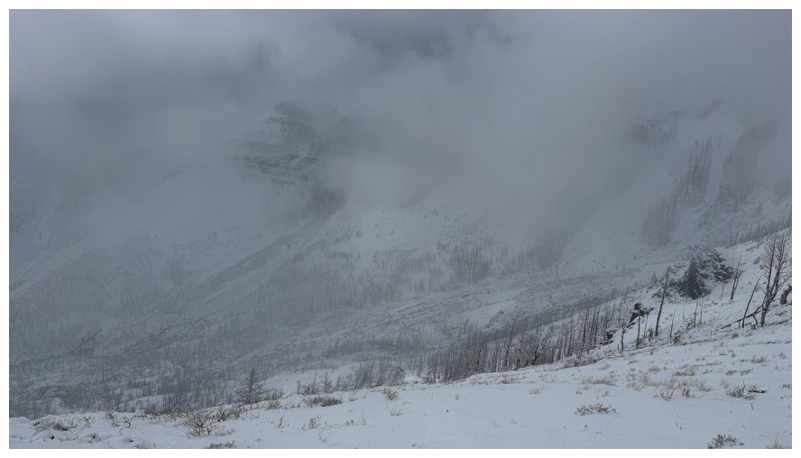
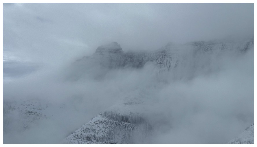
The clouds try to clear around Rogan
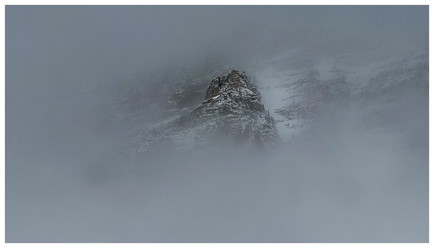
Same as above
But to no avail. This was the last of saw of Rogan Peak.
And the last of Galwey
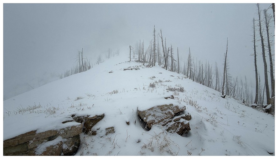
The summit of Bellevue Hill just pokes out of the clouds
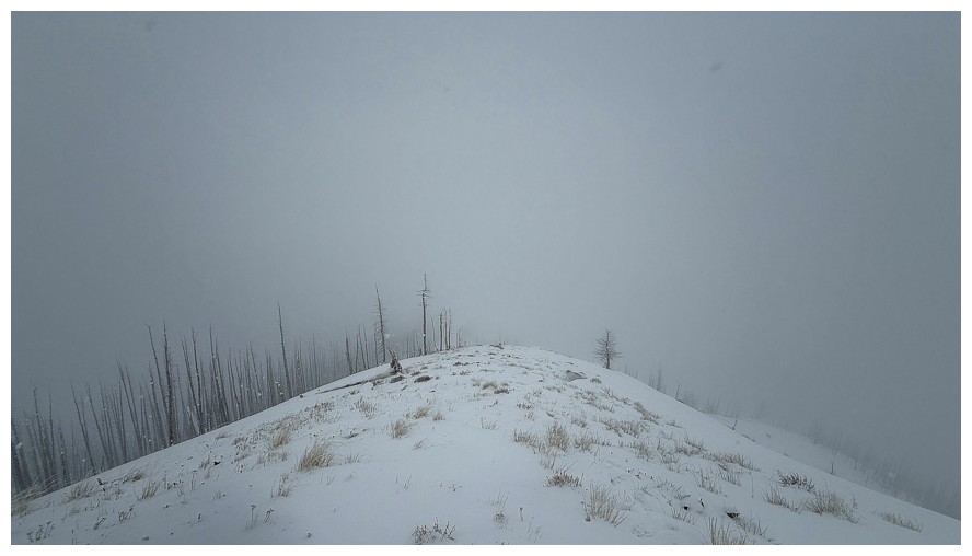
Back to being socked in
Back down in the valley
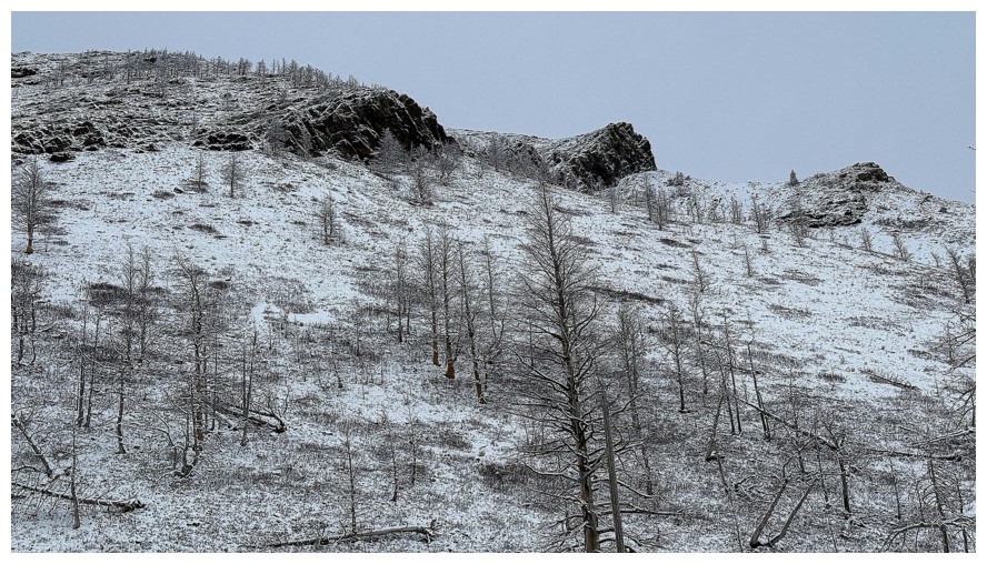
A few of the rock bands I encountered on my first trip up this way
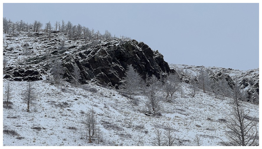
Close-up of one
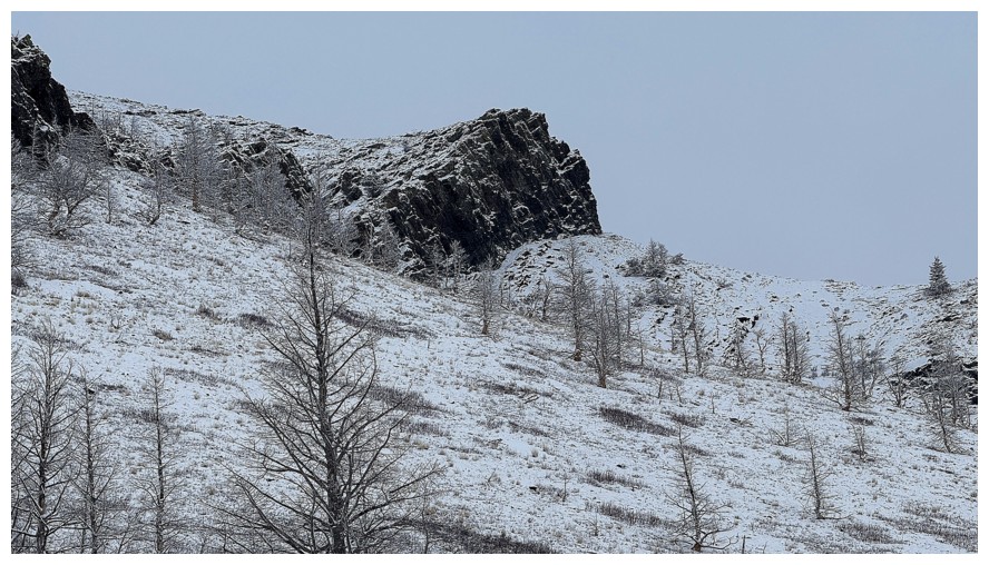
And another
There are many easy routes up to Bellevue from this valley
The route ahead
The route behind
Back to enjoying the trees
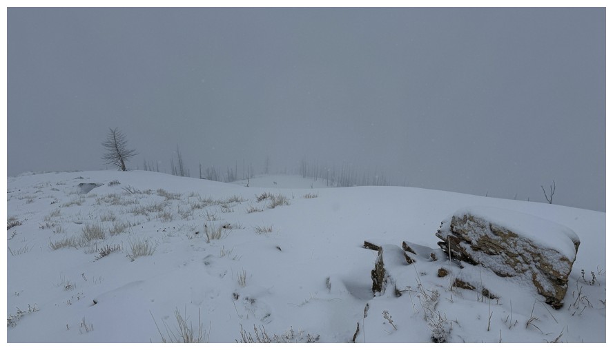
Parting look at where I was (though you still can't see much) before finishing the trip down the other side of the pass
The End
LOG