Horseshoe Basin Outlier
November 11, 2021
Highpoint: 1955 m
Elevation gain: approximately 600 m
Ascent time: 2:30
Descent time: 2:45
Solo scramble.
A typical mid-November day in Southern
Alberta – in other words, cold, windy, and forecast to be cloudy later in the
day. 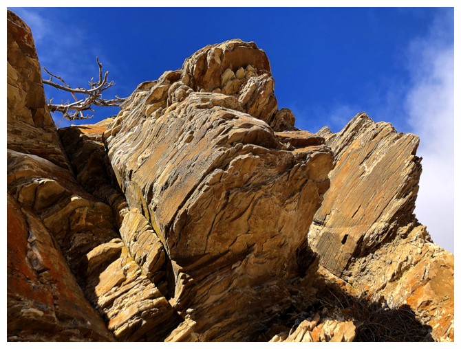 I couldn’t muster up the motivation to attempt to reach a significant
summit, but an exploratory trip in the Horseshoe Basin seemed quite palatable.
I couldn’t muster up the motivation to attempt to reach a significant
summit, but an exploratory trip in the Horseshoe Basin seemed quite palatable.
After hiking up to the highpoint by the
northeast ridge of Bellevue Hill and then down to Galwey Brook, I decided to
gain the ridge Mark and I had ascended on our first trip up Rogan Peak and
follow it until satiated. However, once I reached that ridge, another little
objective to the west appeared. A minor bump resides on the next ridge over and
looked to be interesting and easy. 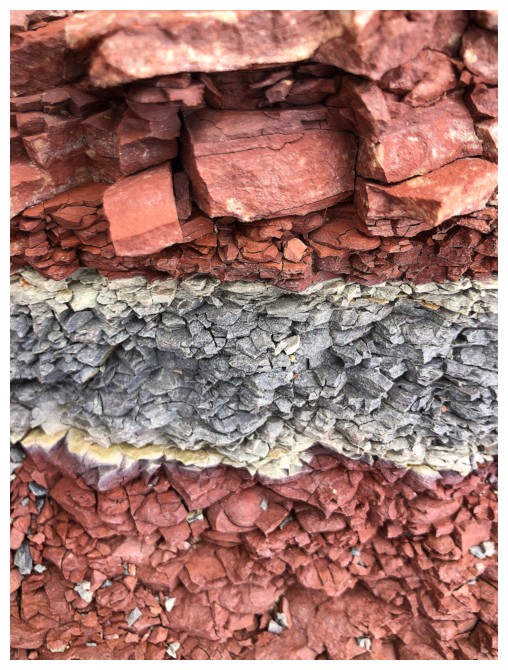 A little elevation loss later and I was at
the base of the new objective and heading up.
A little elevation loss later and I was at
the base of the new objective and heading up.
Hiking
up the ridge proved to be wonderfully
scenic, with the expected rash of beautiful Southern Alberta rock and
striking
views with relatively clear skies in one direction and dark, ominous
ones in the
other. I soon reached the highpoint of the bump and took a short break.
Continuing up the ridge was definitely feasible, however, I had already
decided
I wanted to repeat this route on a clear day and would wait until that
day to
go higher. For descent I followed a different ridge down to the valley,
enjoying a new round of rock and some unexpected ice scenery.
The last order of the day was to follow
Galwey Brook all the way out to the north leg of the Horseshoe Basin trail,
thus making a loop route out of the day. Though not a scenic marvel, the brook
route did have a few interesting features and reduced the elevation gain
required of the normal route. The winding nature of the waterway and lack of a
trail, however, negated any time-saving benefits.
Overall, a better day out than expected and
I’m certainly motivated to explore more of this beautiful area with perfect
weather.
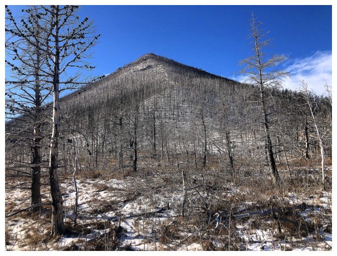
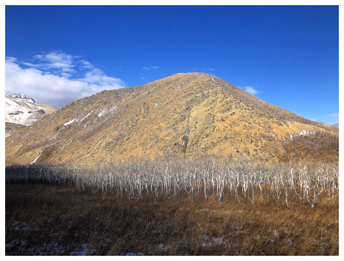
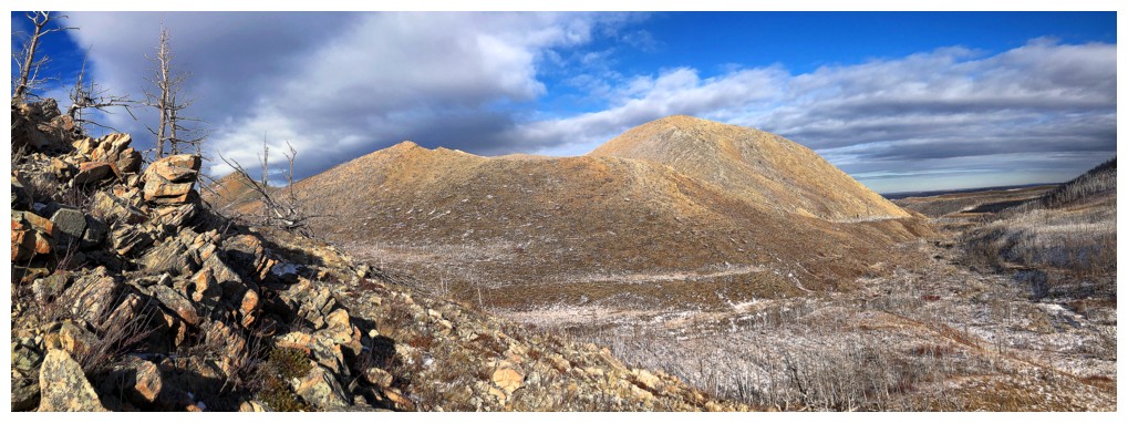
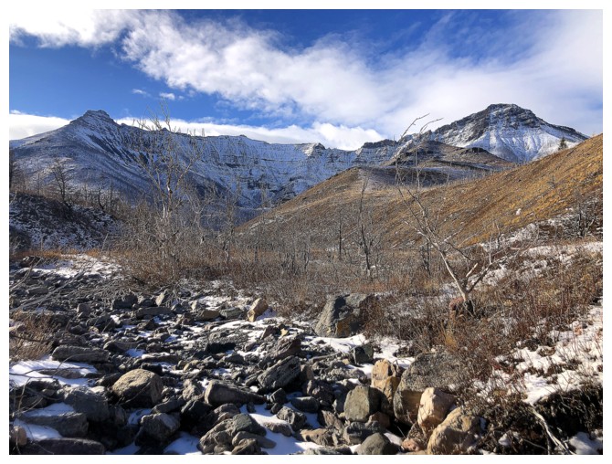
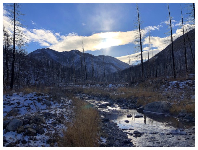
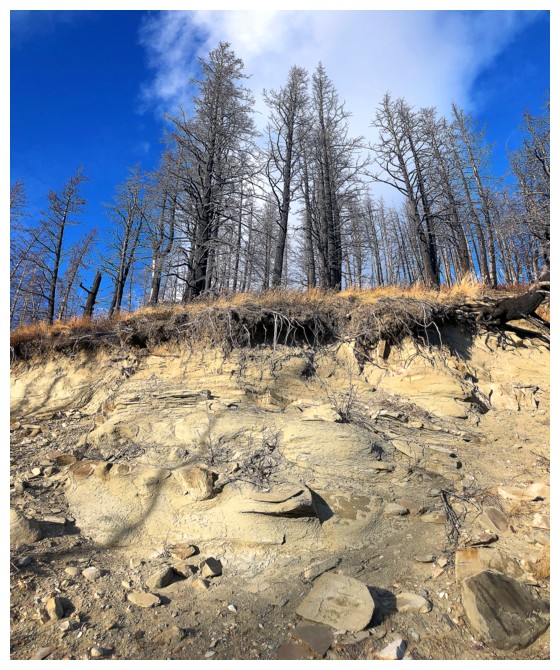
The weather looks decent at the beginning but it won't stay that way
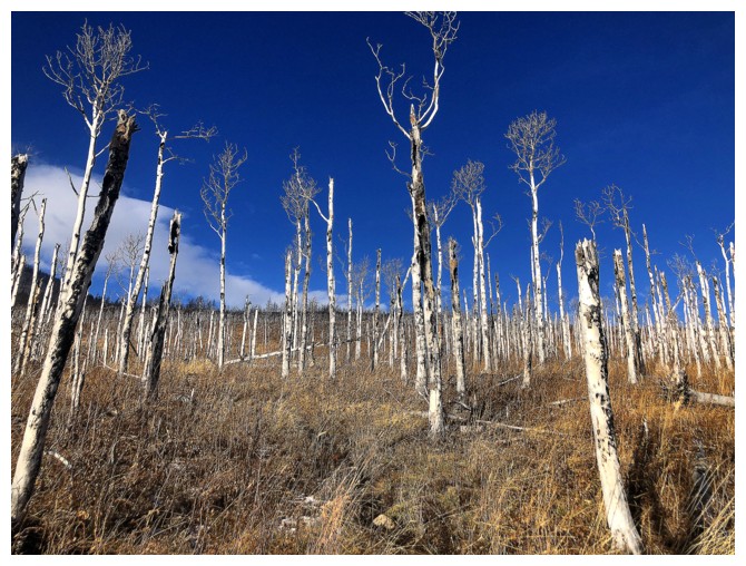
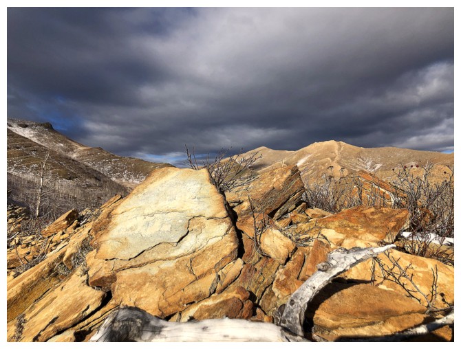
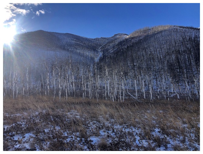
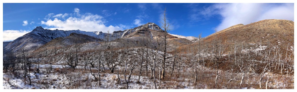
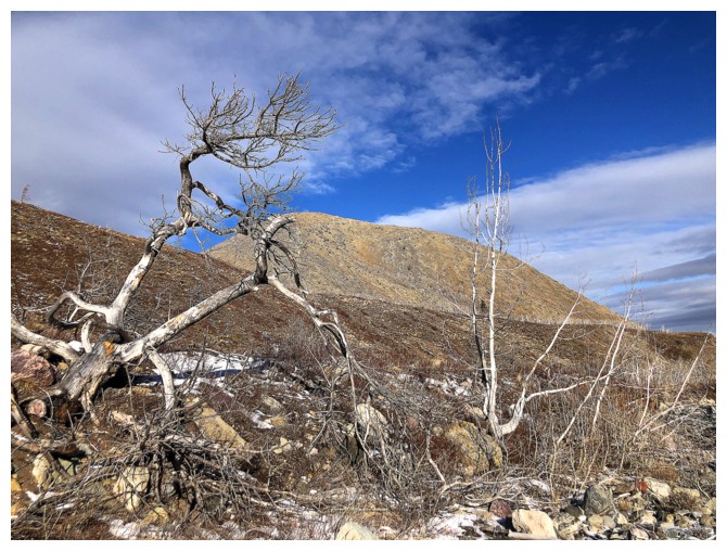
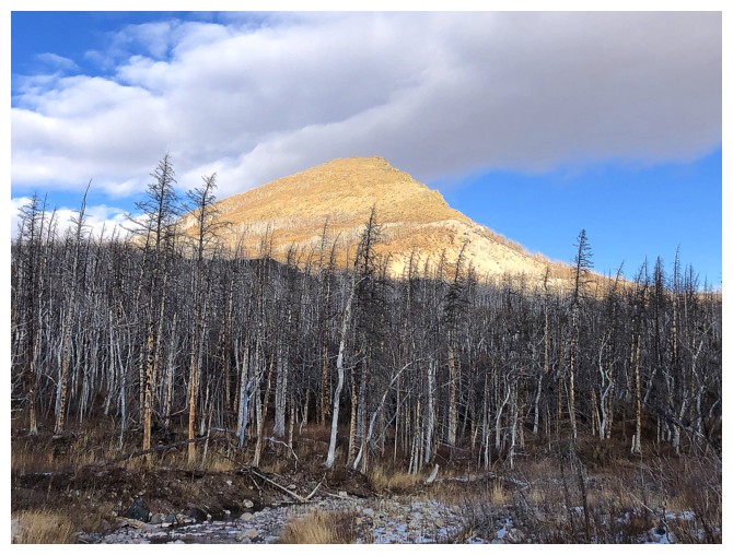
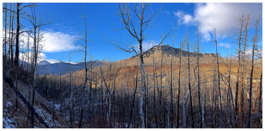
The scorched trees and the weather look great here
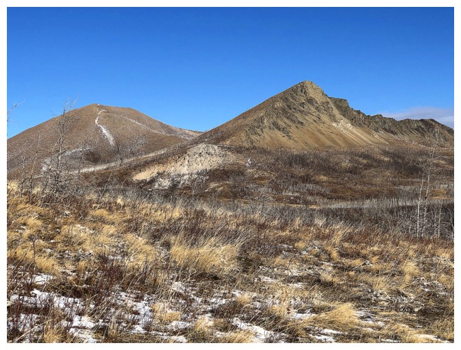
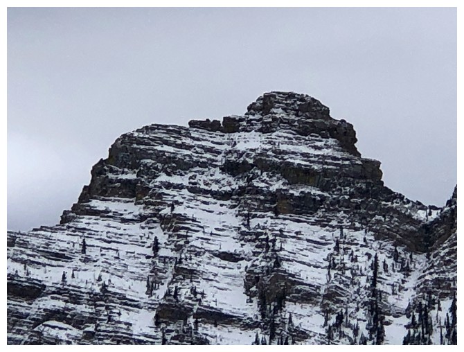
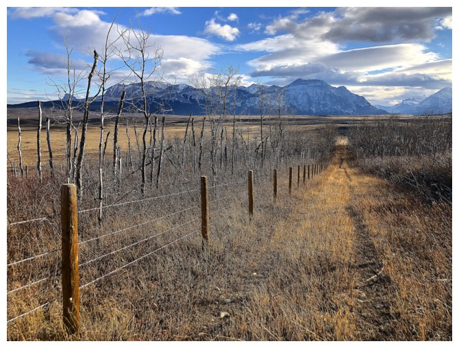
Lakeview Ridge
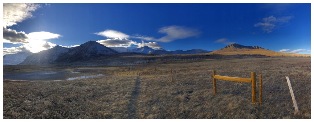
The first section of Bellevue Hill's northeast ridge
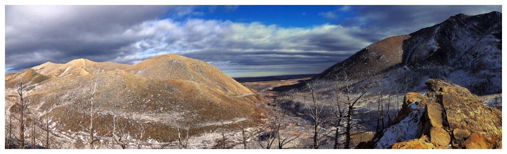
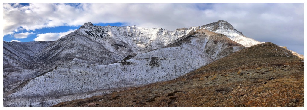
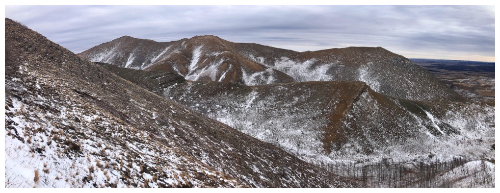
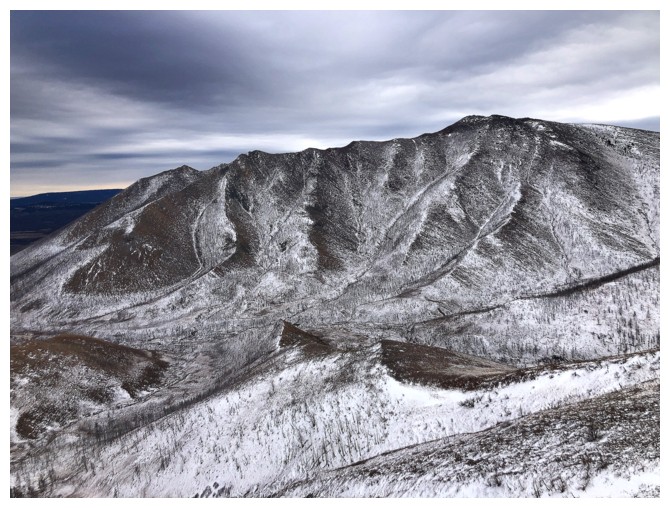
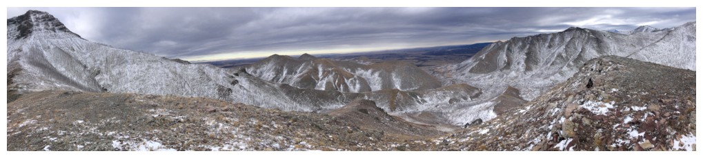
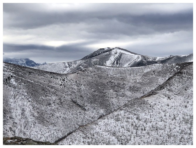
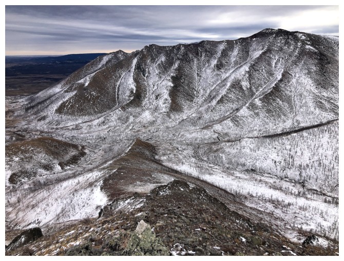
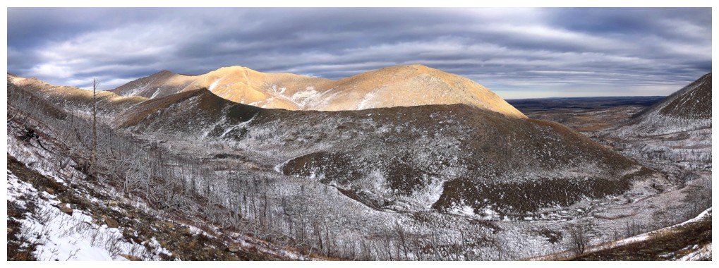
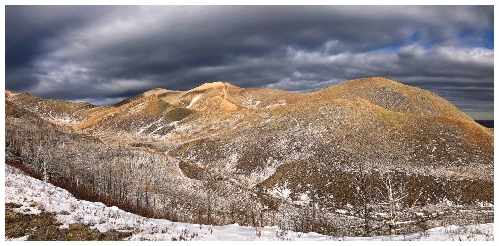
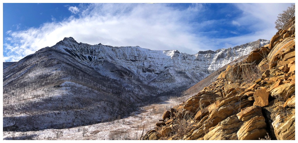
Looking down into the Horseshoe Basin valley. Snowy Rogan Peak just left of centre and Lakeview Ridge at the right.
The south side of Lakeview. Had a remarkable day up that way in 2017 with Scott, Brad, and Leon.
Checking out other potential routes to reach the northeast ridge of Bellevue
Mount Galwey (left) and Galwey North (unremarkable bump right of centre, yet totally remarkable as an objective)
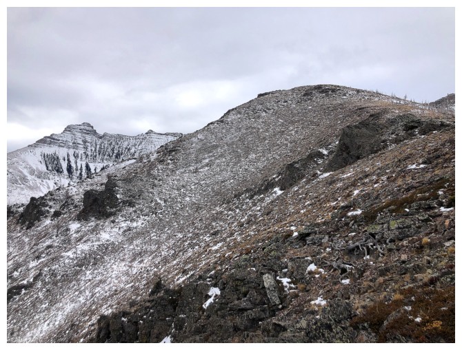
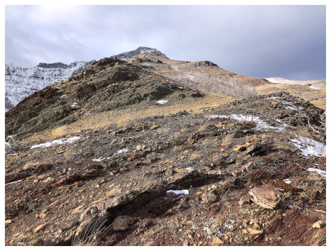
Gaining elevation on the first ridge
I intended to follow the ridge at the far right, but ended up ascending the bump, just left of the ridge
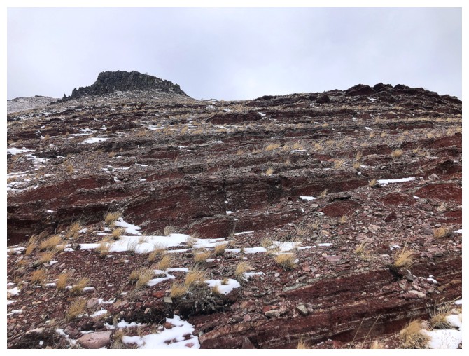
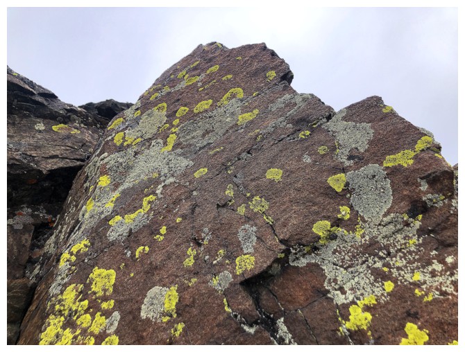
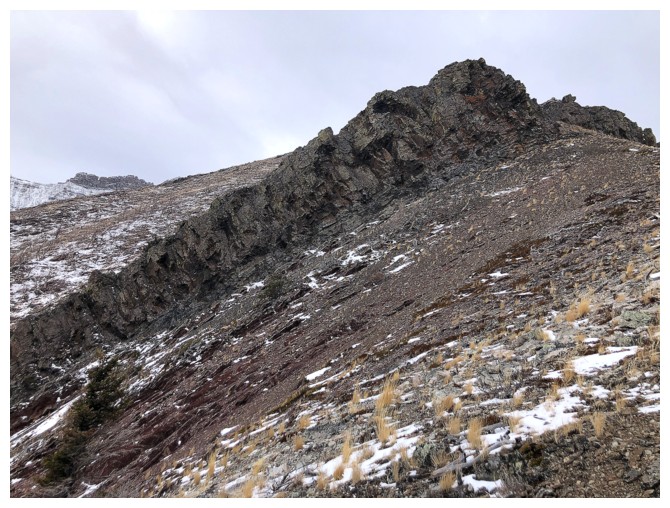
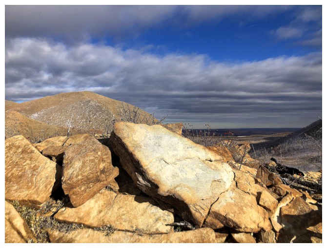
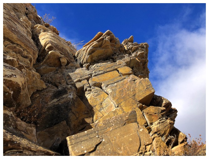
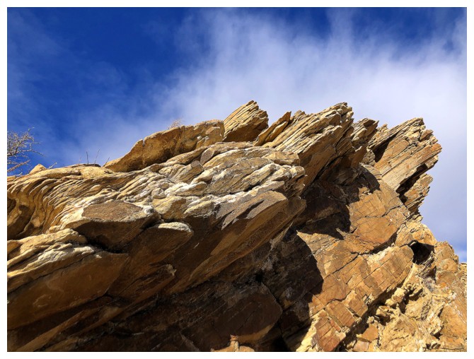
The colourful rock starts to show up en masse
Same as above with the new objective just left of centre, in the foreground
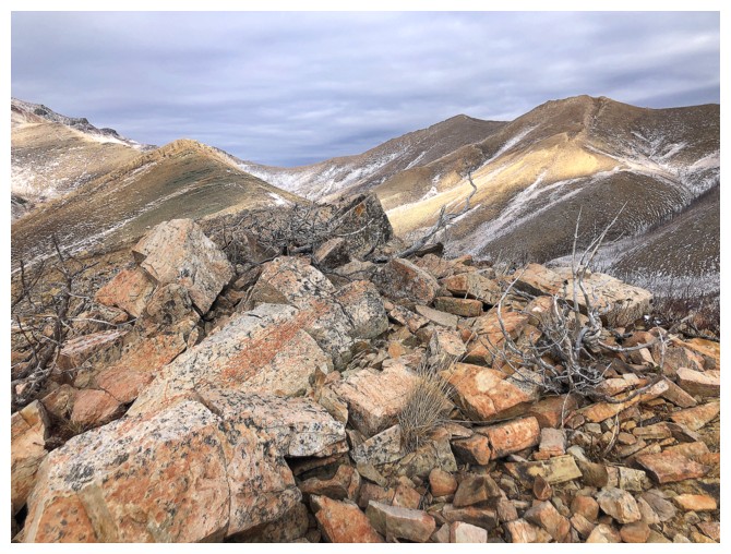
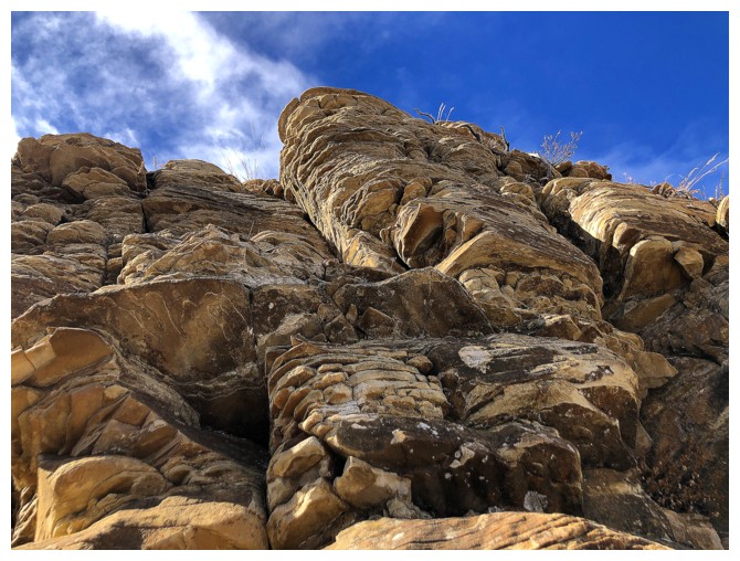
The original ridge has many cool features - a ridge I would like to repeat someday
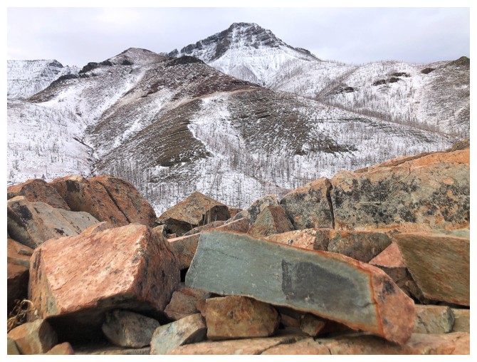
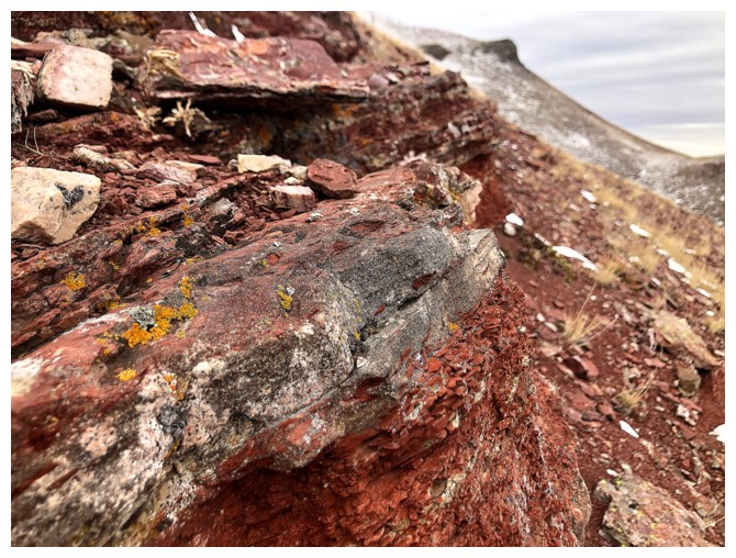
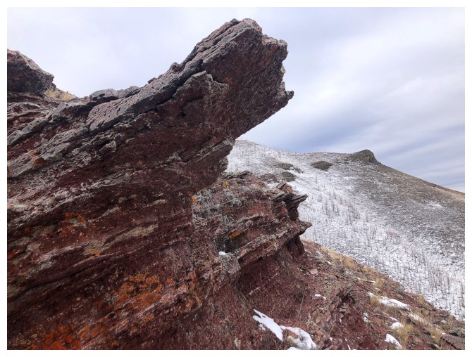
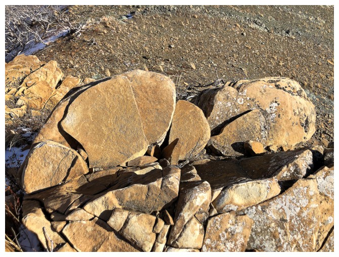
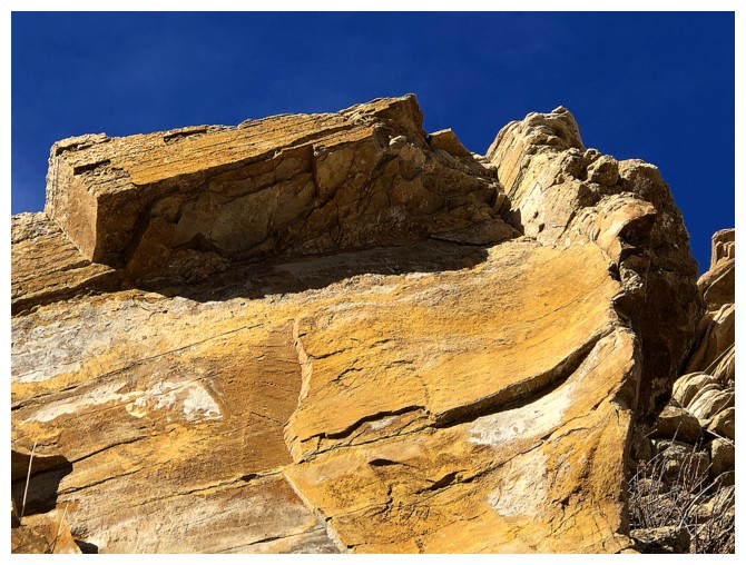
The rock that has split in two near the right was outrageously cool
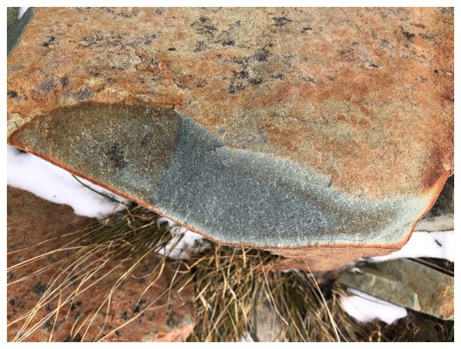
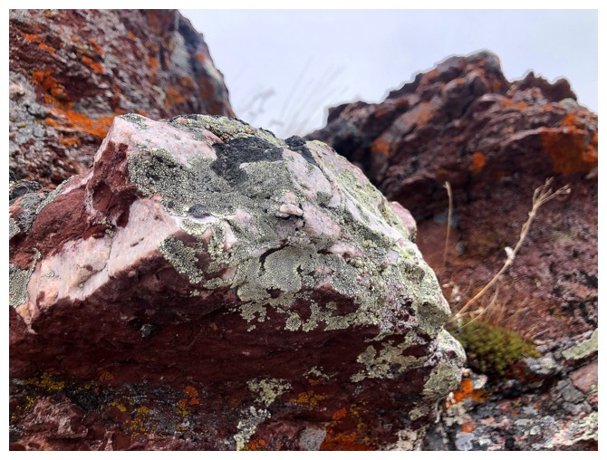
Close-up
Losing elevation to get to the other side of the valley and the new objective
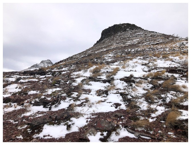
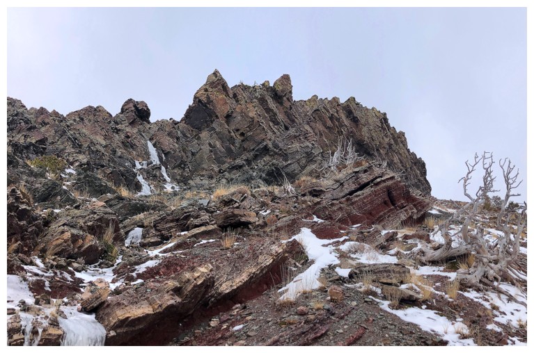
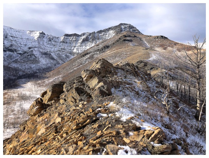
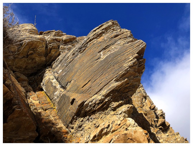
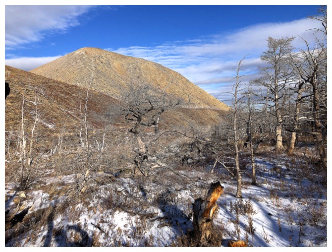
Heading up the new objective. The summit is at the left.
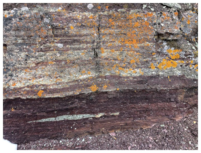
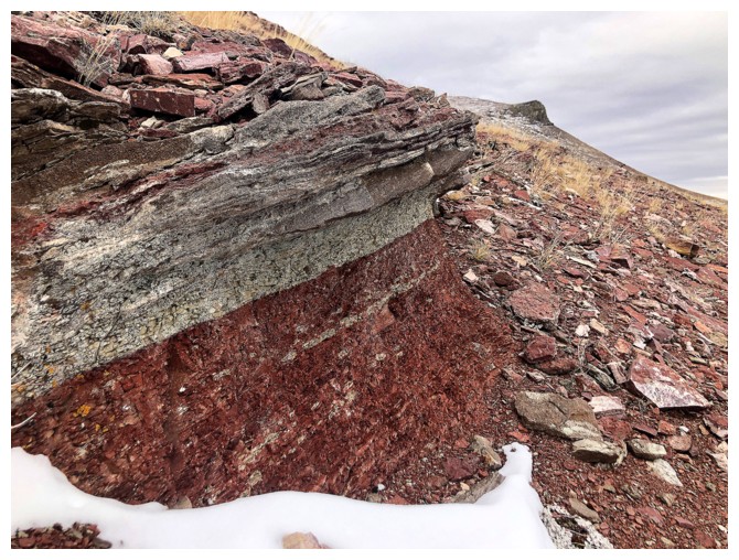
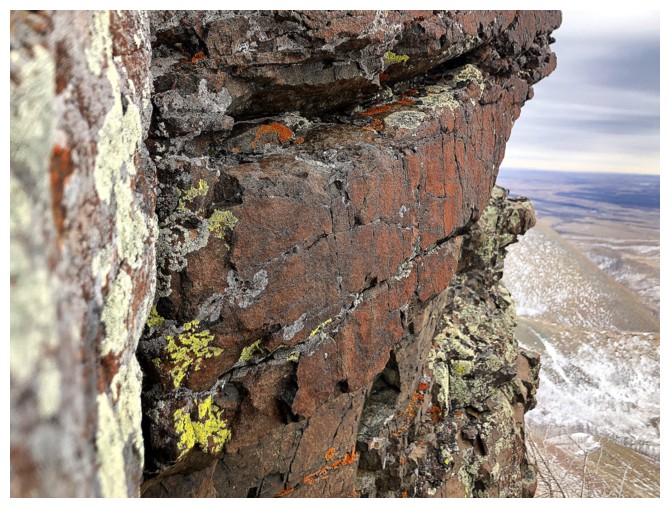
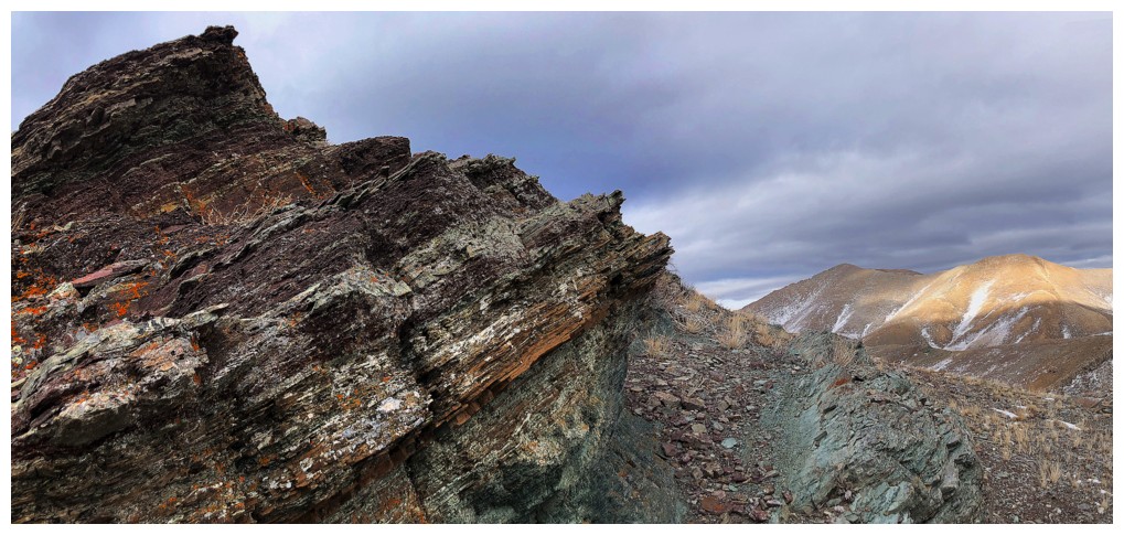
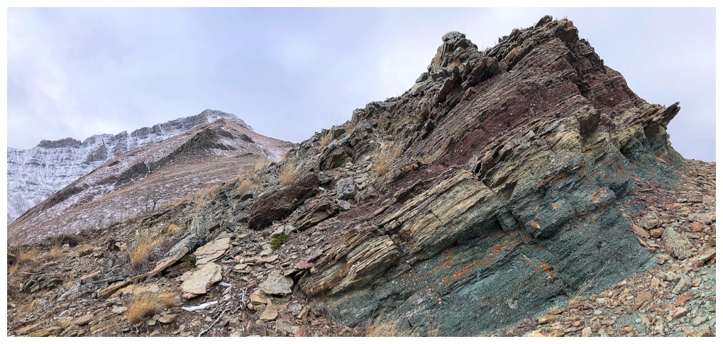
There's a nice band of red argillite running through the peak
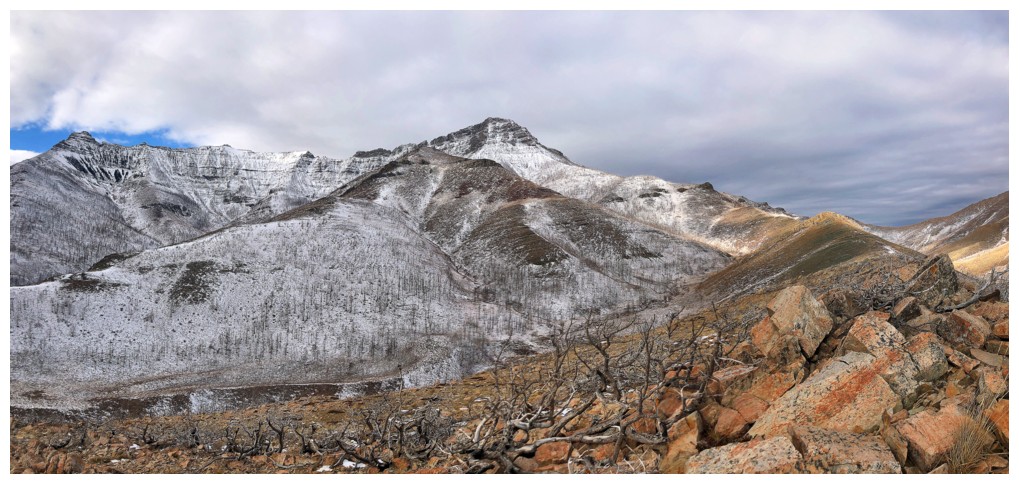
The entire south ridge of Lakeview Ridge is visible here, but no part of the loop route to the east
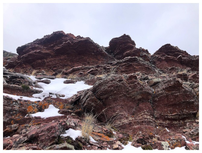
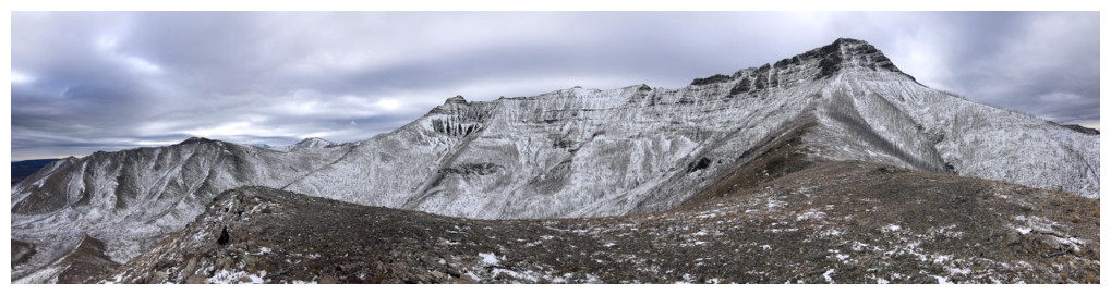
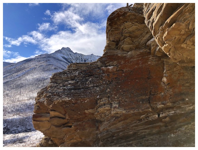
Layers of red rock that need clear skies and the Sun's rays to fully appreciate
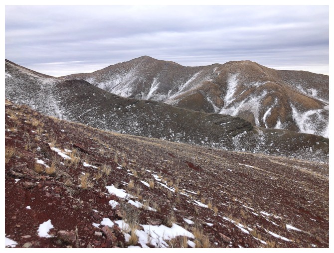
The red rock and the summit of Lakeview
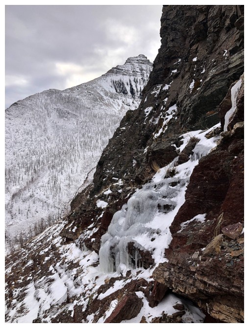
Approaching a rock band similar to the one on the other ridge
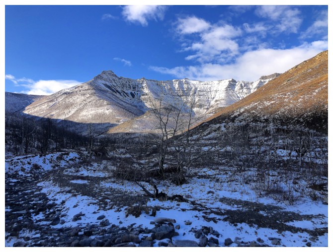
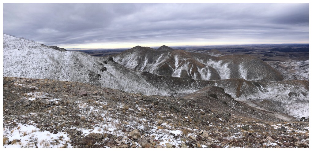
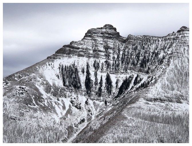
Rogan Peak
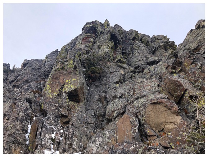
At the rock band - it's not as big as the other one...
...but it still home of lots of colourful lichen
Looking for a route around the band
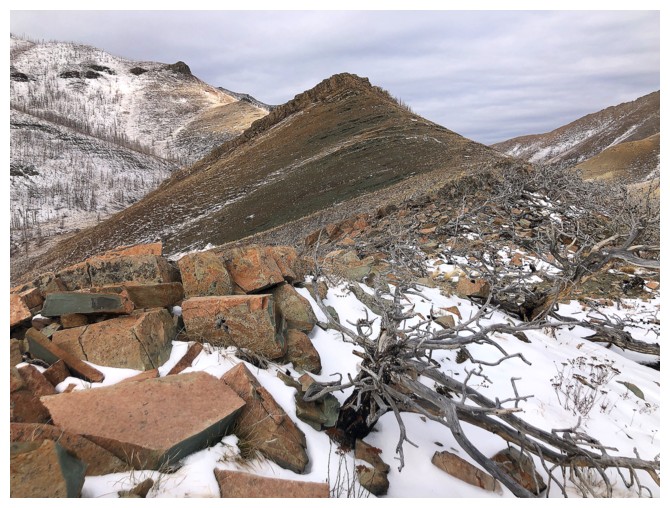
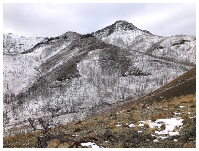
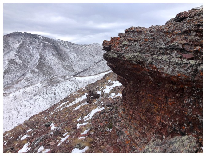
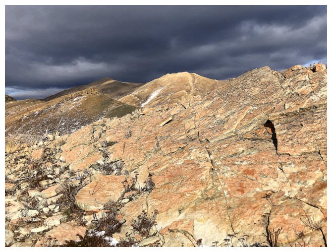
Brooding clouds over Bellevue
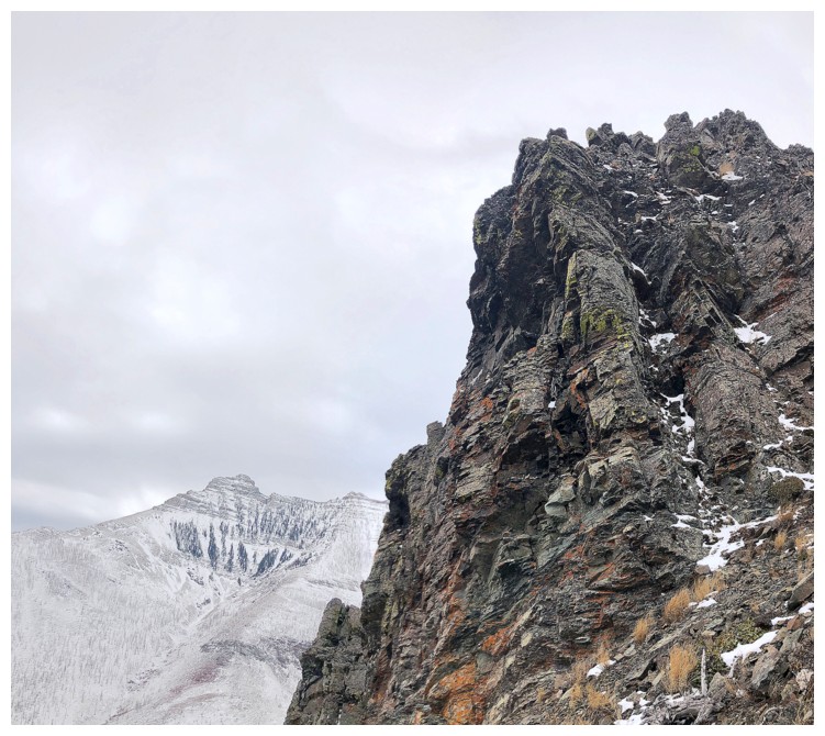
The highpoint at the right
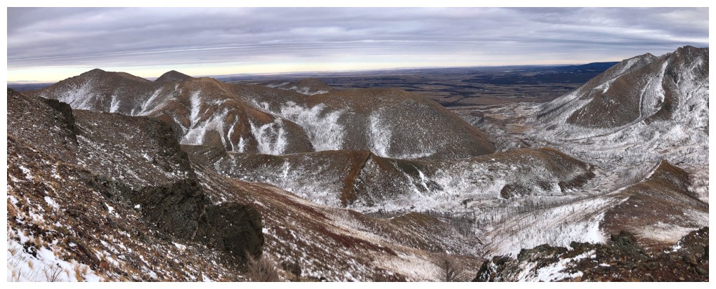
Views from the highpoint
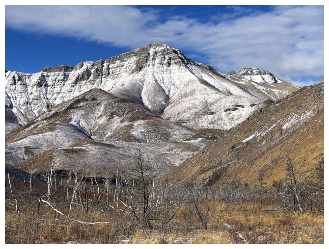
Mount Crandell
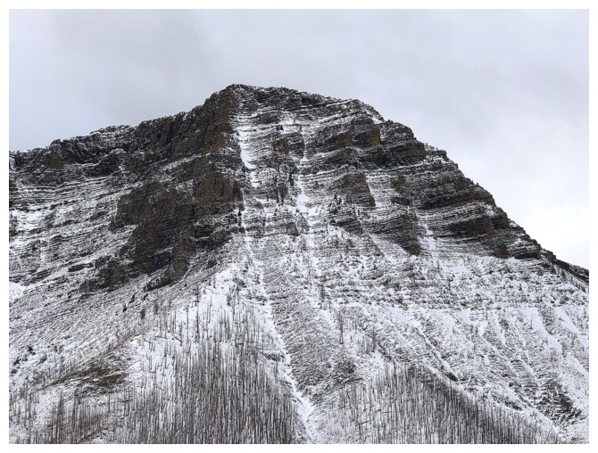
Galwey
Rogan
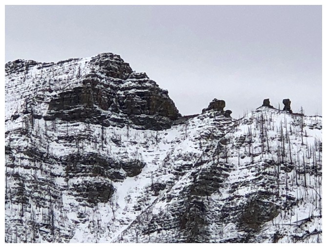
A few striking pinnacles between Galwey North and Rogan
Close-up of Galwey's north face. I tried and failed to ascend the peak from the left side in 2010.
Heading down a different ridge
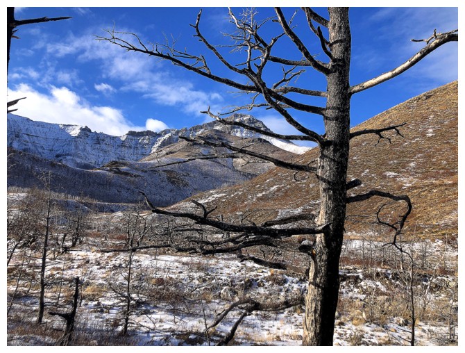
Gloomy, but still rewarding view to the east
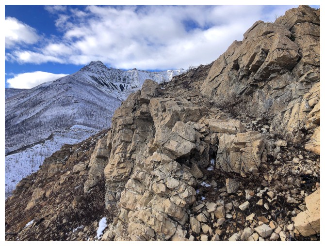
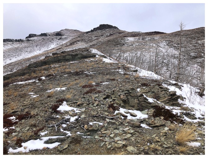
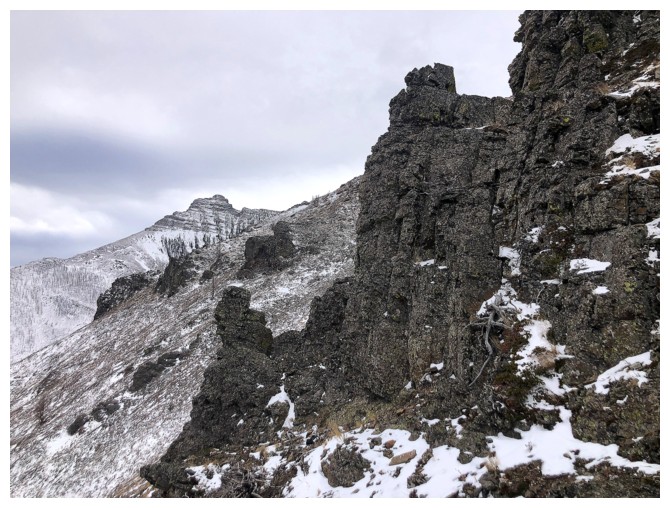
This ridge too is interrupted by several significant rock bands
Looking back at the first

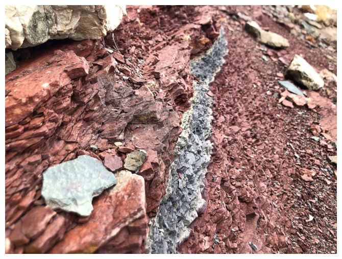
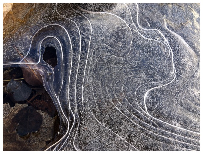
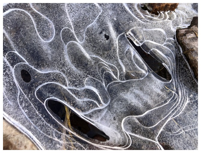
Argillite and ice
Had to take a quick detour to see both up close
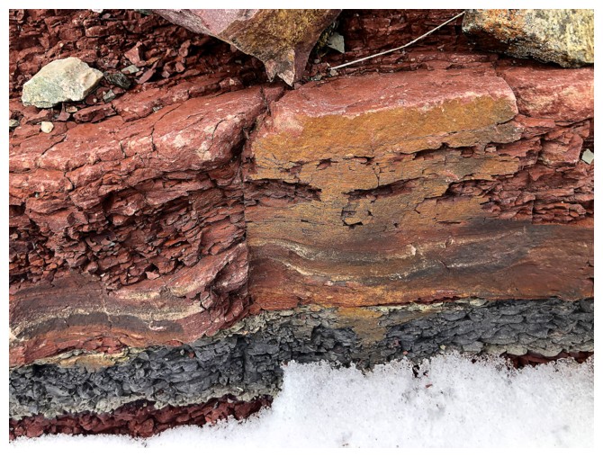
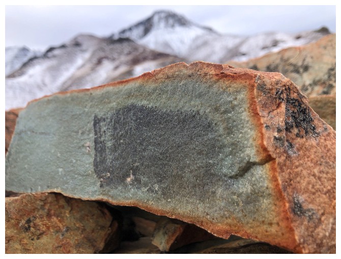
The argillite - red and green
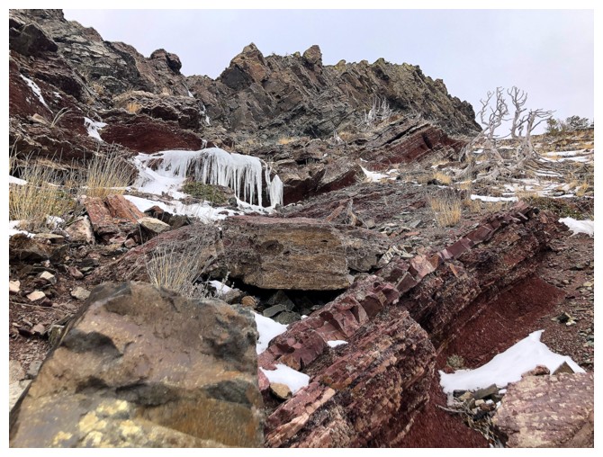
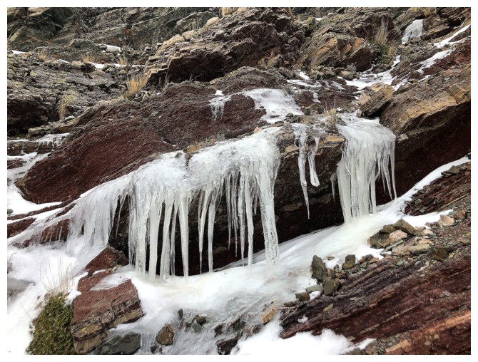
The ice - cold and somewhat opaque
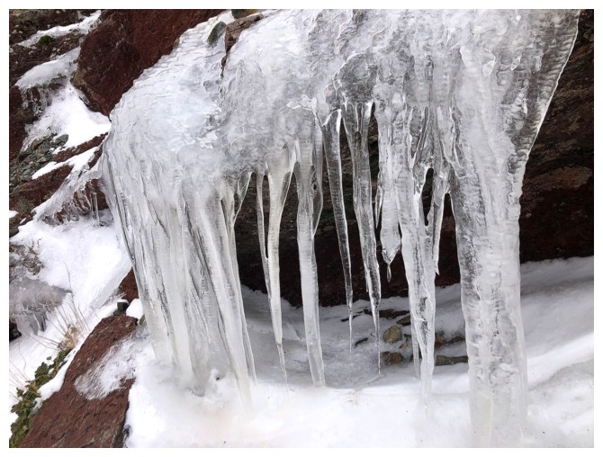
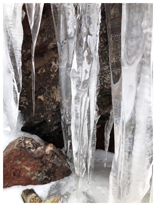
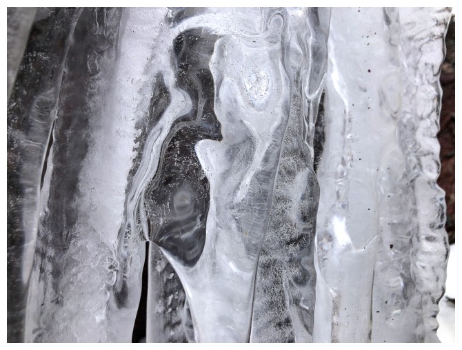
Patterns in the ice are often as fascinating as patterns in the rock
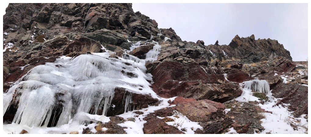
Leaving the icy rock band
The next rock band
Sun on Lakeview
Would have liked Sun on this beaut
Dark skies to the northeast
Near the right, that distinctive rock band on the other ridge that I'd like to revisit someday
Looking back up the descent route
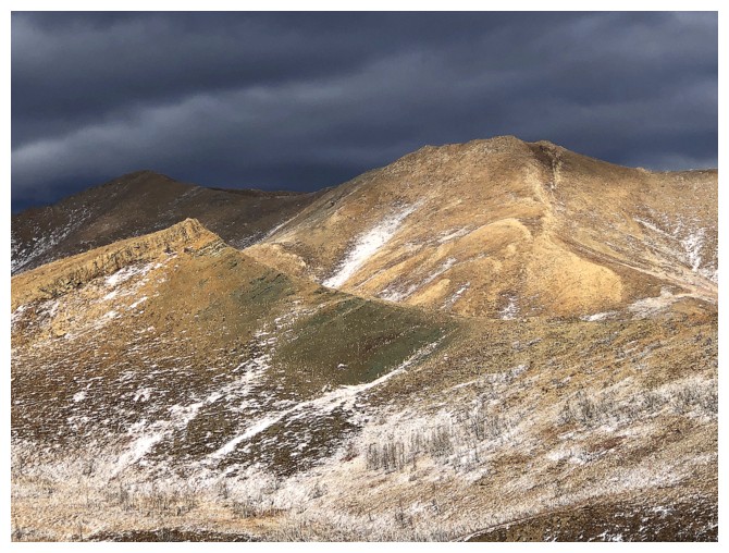
Cool combination of dark, brooding clouds and Sunshine on the peaks
Same as above
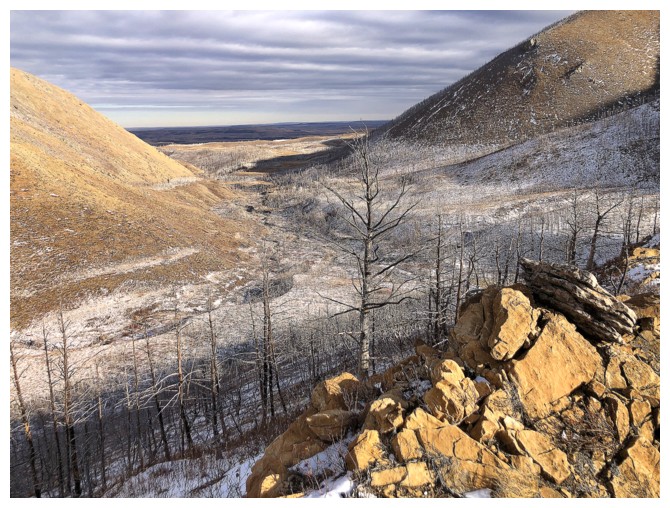
I need to be down in that valley
More Sun-soaked rock
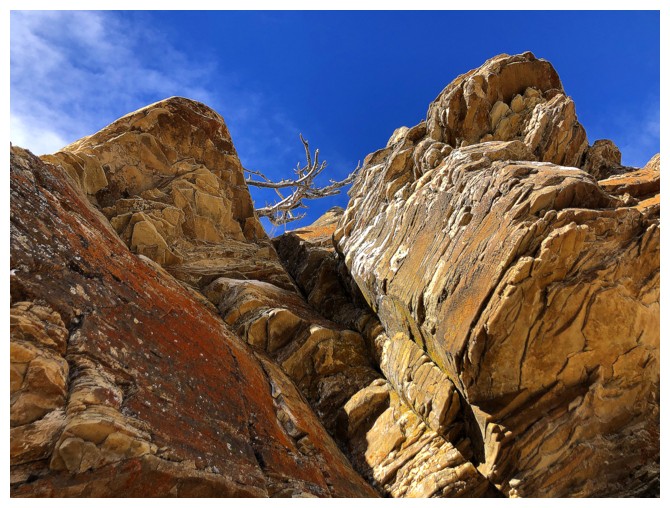
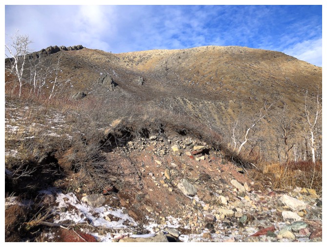
Atop the final rock band and it turned out to be one of the most vibrant
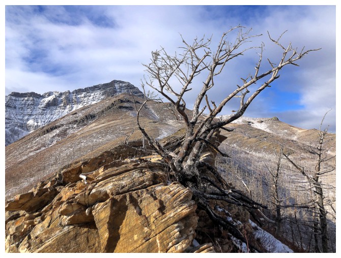
And had a dead tree on top
Below the rock band
No substitute for blue skies
Last look at Galwey, Galwey North, Rogan, and the connecting ridge between all
Back to the band
Almost down to the valley
Arrived
Working my way back to Galwey Brook
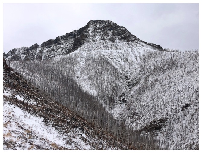
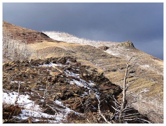
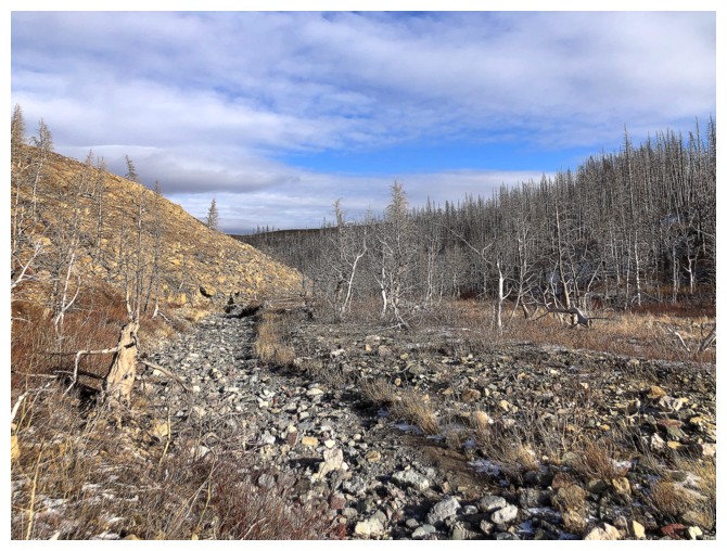
A casualty of the 2017 Kenow fire
It appears Lakeview Ridge would have also been a good objective for the day, as it is bathing in the Sun
Back to Galwey Brook. The brook is bone-dry at this point.
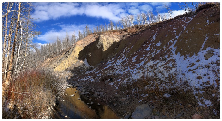
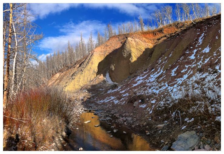
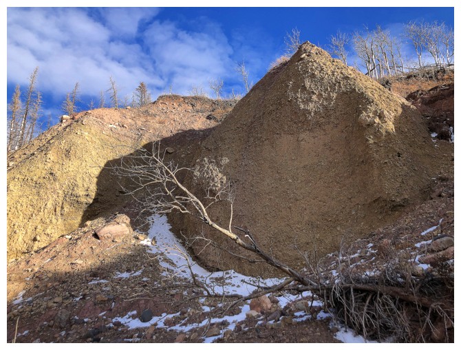
Lots of small landslide sites along the banks of the brook
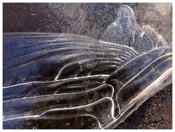
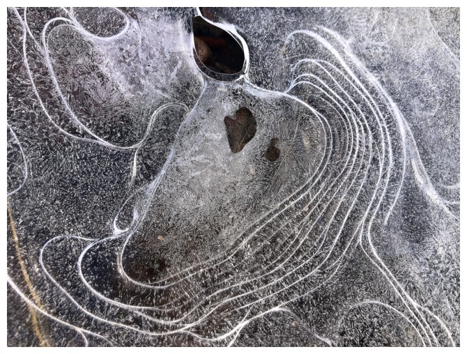
A few ice close-ups were the highlight of the brook
Following the dried-up creek bed out
This section was quite interesting too
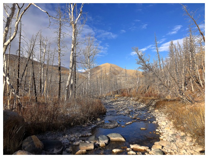
Following the brook gets a little harder now that water is flowing in it
The southeast peak of the Lakeview Ridge Horseshoe route
Looking back to Bellevue Hill
Lakeview southeast again
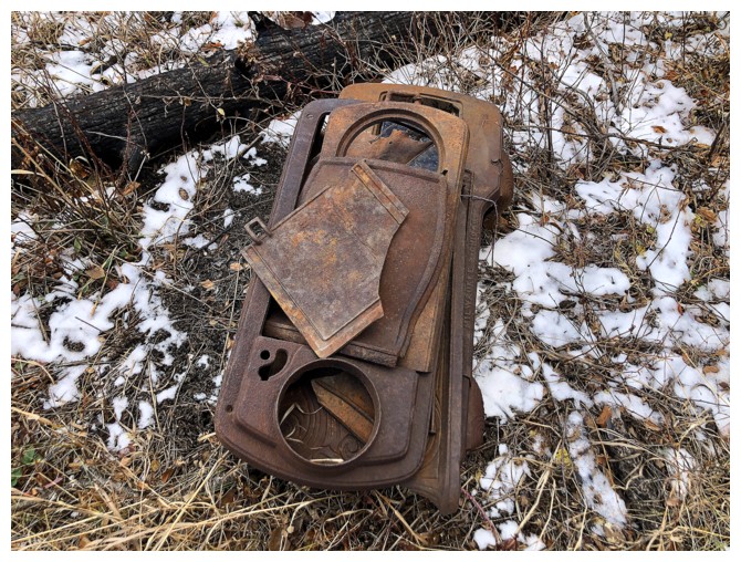
No idea what that is
More eroded banks
The magnificent east side of Lakeview's east leg
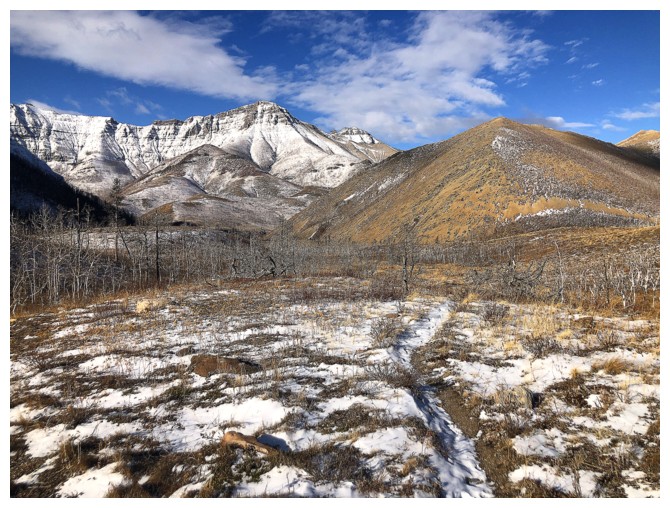
On the north leg of the Horseshoe Basin trail and heading south back to the parking lot. Vimy Peak in the background.
The clearest skies of the day at the end of the trip
The End
LOG