Loaf Mountain VII
October 11, 2021
Mountain height: 2640 m
Elevation gain: 1000
m
Ascent time: 3:20
Descent time: 1:40
Solo scramble.
 The goal of this trip was to see how close
to the summit of Loaf Mountain I could bike on its south side. It’s a big peak
with a relatively long approach on foot, however, Mark and I had been able to
bike about two-thirds of that distance on a previous trip. Would the remaining
third go?
The goal of this trip was to see how close
to the summit of Loaf Mountain I could bike on its south side. It’s a big peak
with a relatively long approach on foot, however, Mark and I had been able to
bike about two-thirds of that distance on a previous trip. Would the remaining
third go?
Yes! With the exception of a couple of short
rocky sections where pushing the bike was necessary, I was pleasantly surprised
to find the entire approach on two wheels to be easy and fun. In fact, I would
say it’s an easier ride than the north side approach via the Bovin Lake Trail.
Once off the bike, the ascent
proceeded without much in the way of surprises. I ascended the route I had
descended on April Fool’s Day in 2013. Unfortunately, the overcast
skies succeeded in muting the amazing colours that are the best feature of this
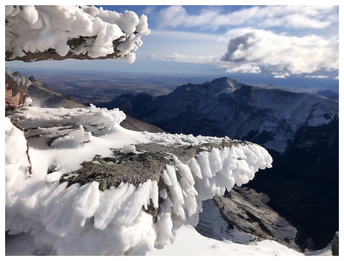
side of Loaf Mountain and the summit view along Loaf's east ridge. I took more photos of rime
on the summit cairn than anything else!
For
descent I took the alternate route to the east and then south, hopped on my bike,
and coasted with a relaxed ease back to the start.
Clearer
skies would have been nice, but mission accomplished on the day’s objective and
a very fast route to the summit of the area’s highest mountain.
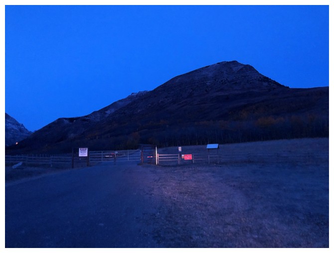
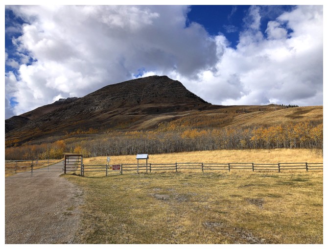
At the all too familiar trailhead
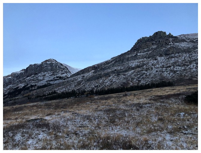
The 2013 route goes up at the right side of the photo
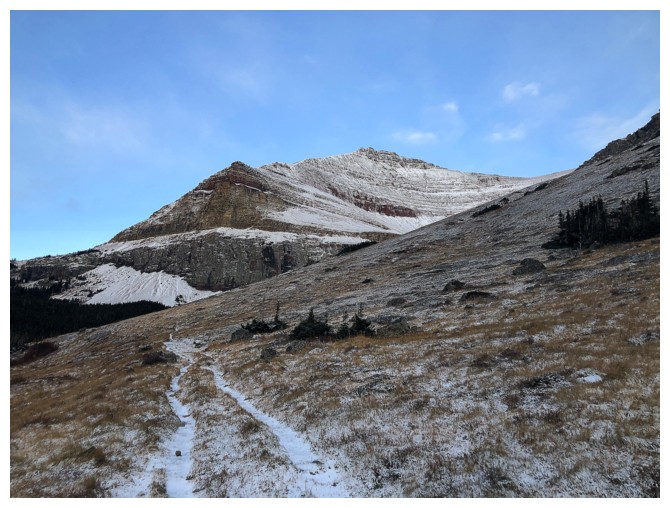
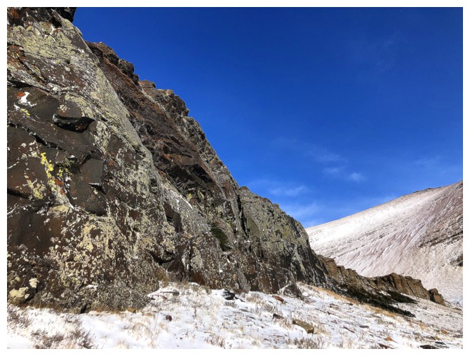
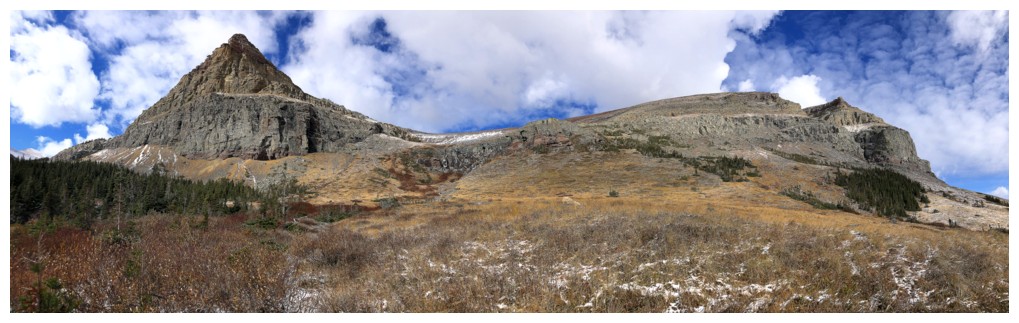
Approaching the route
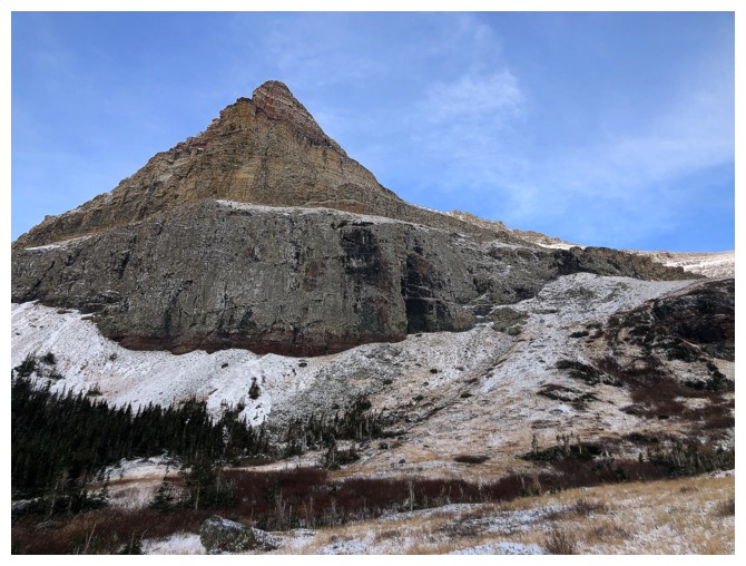
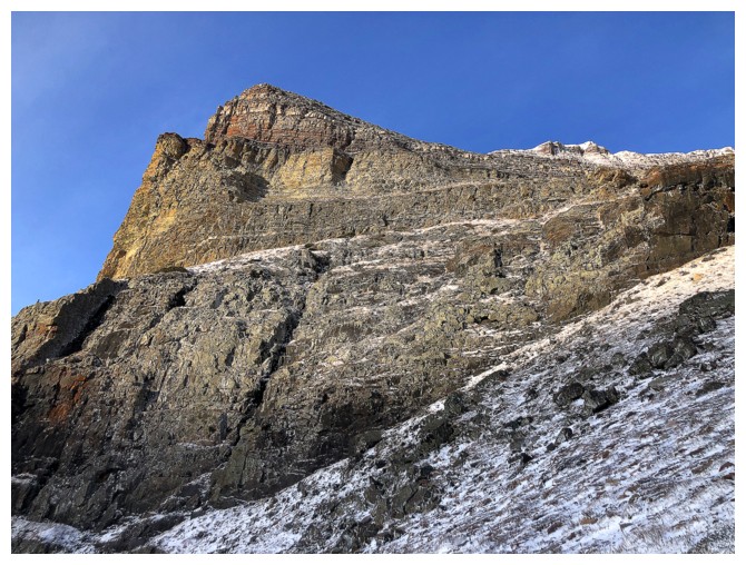
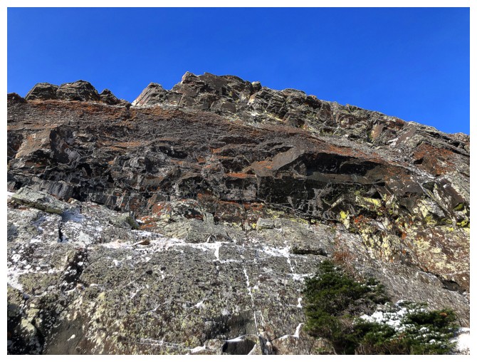
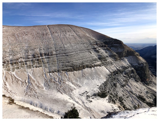
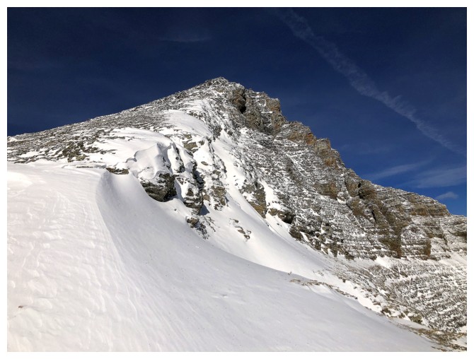
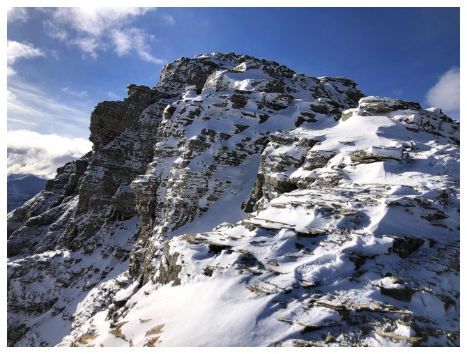
The southeast side of the summit block
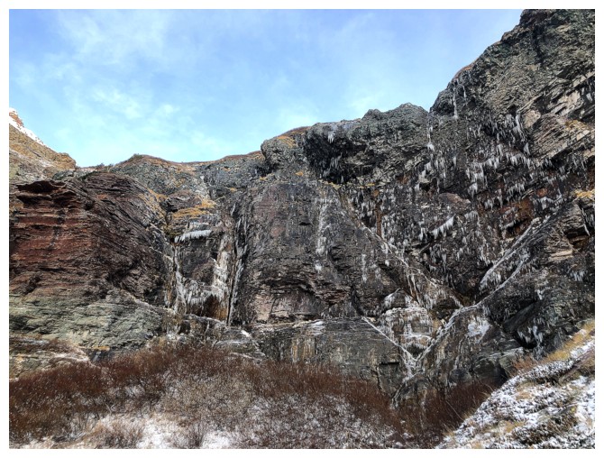
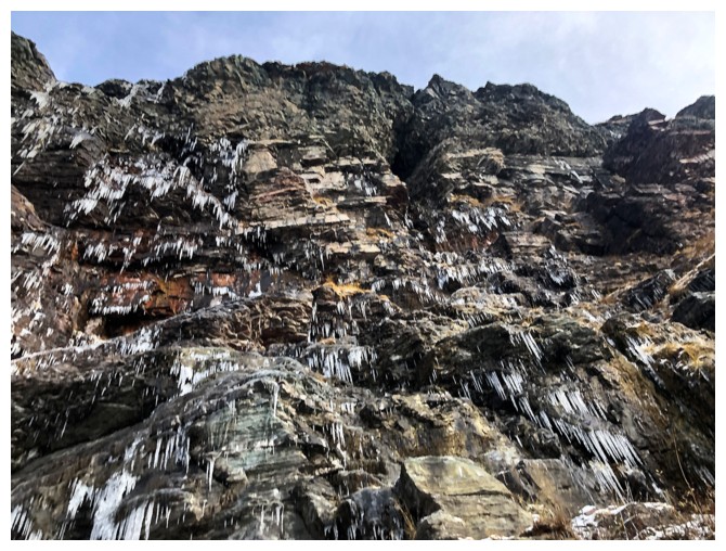
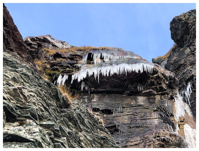
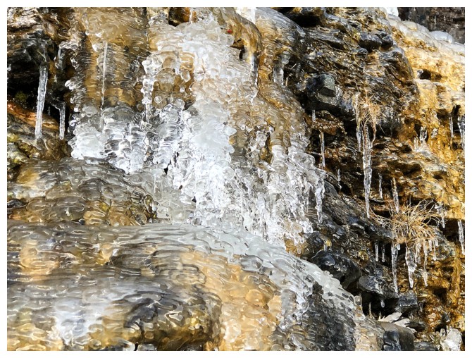
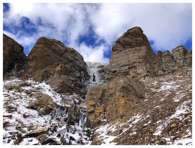
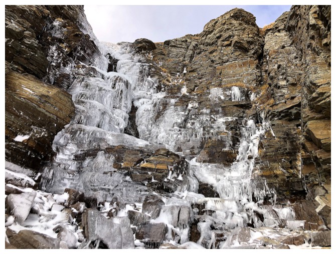
This headwall is easily bypassed on the left side, but before doing
that, it's much more fun to go right up to it and check out the
water/ice
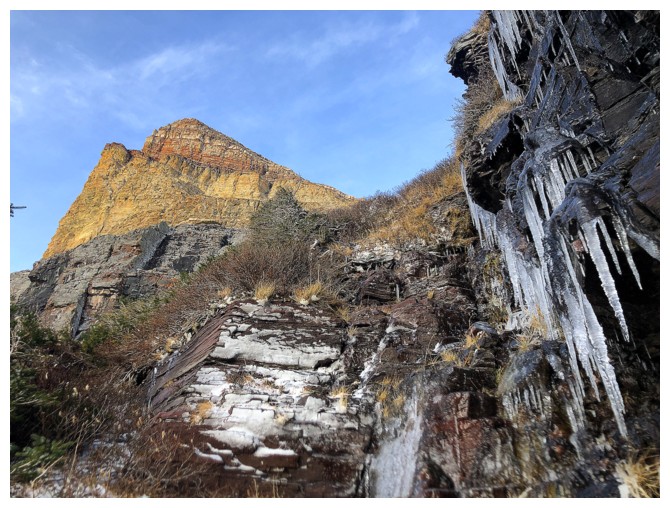
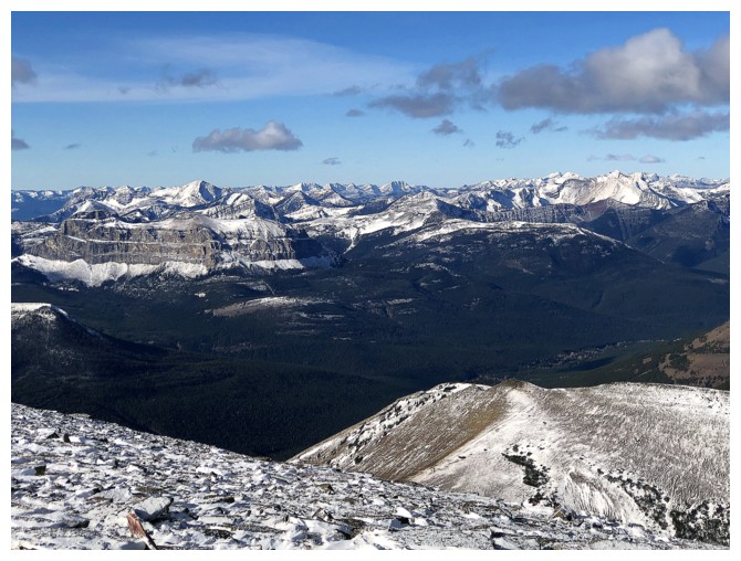
Part of Loaf to the northeast I have yet to explore
A
faint Sun halo over Spionkop Ridge - the cold weather version of a rainbow:
light refracting and reflecting through ice crystals in the air
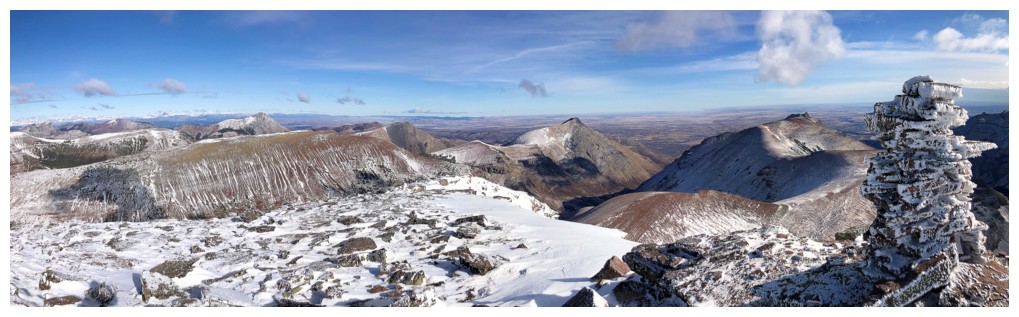
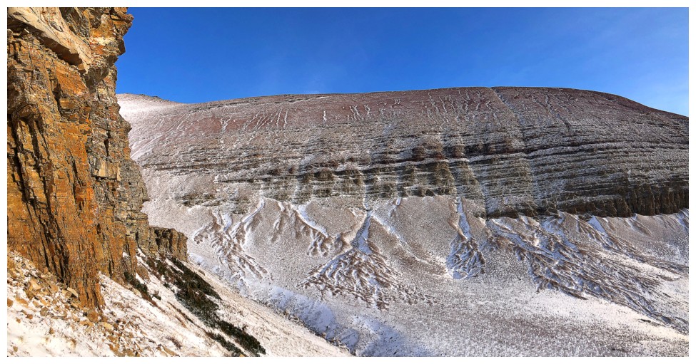
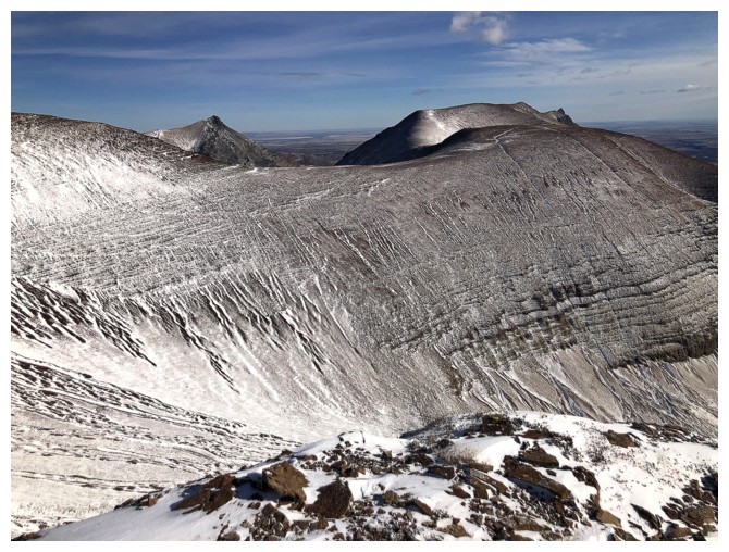
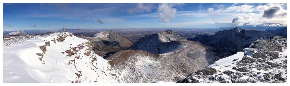
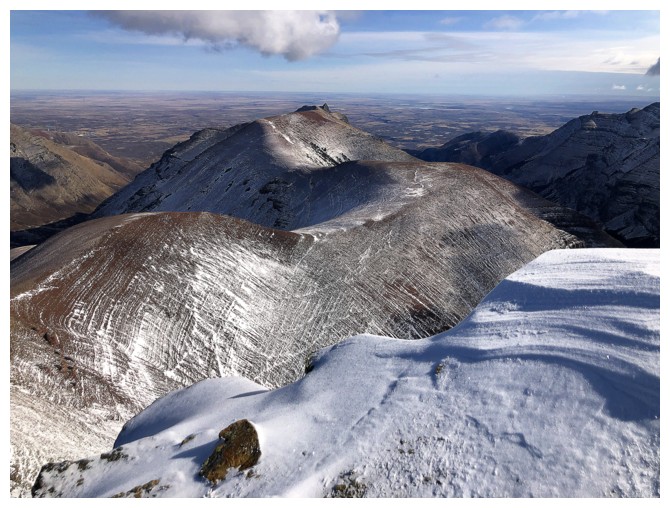
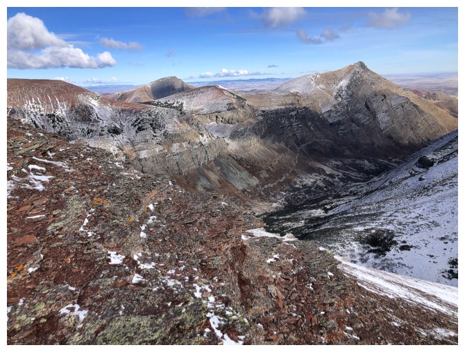
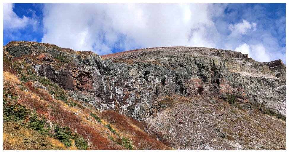
The south end of the ridge is extremely photogenic
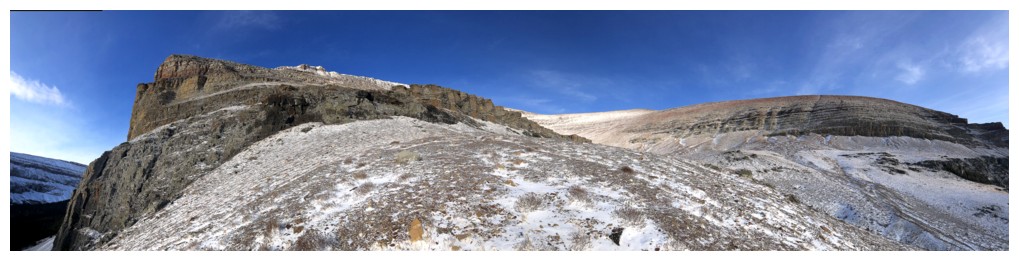
The route goes up through the centre, swings way over to the left, and then up to the summit (hidden in the centre)
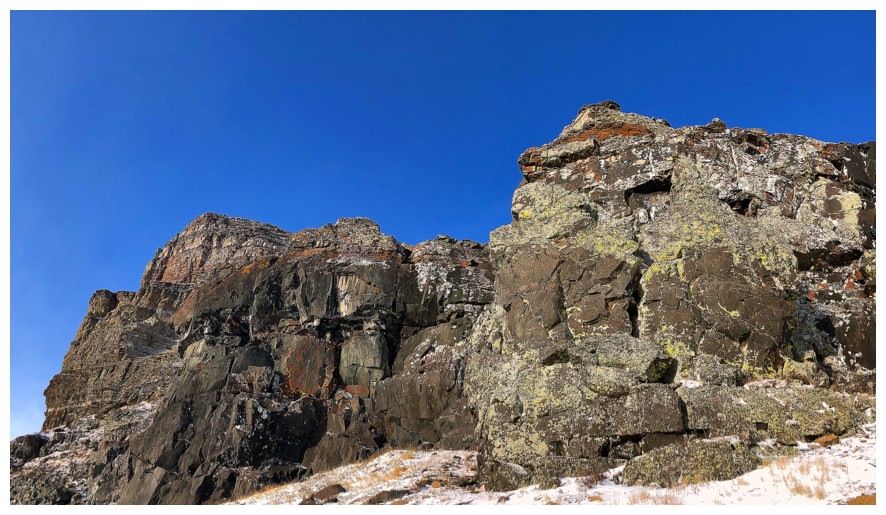
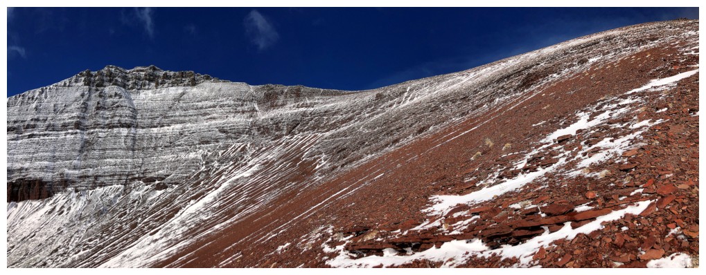
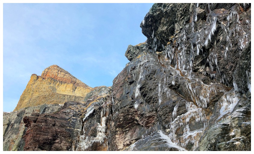
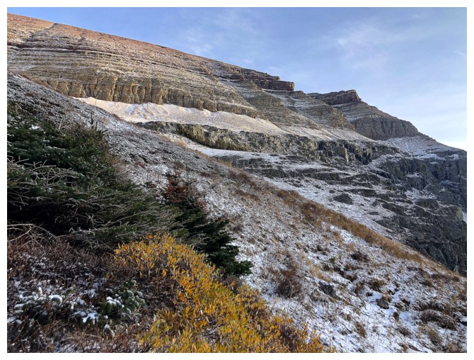
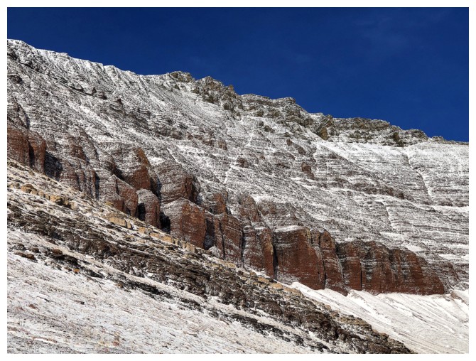
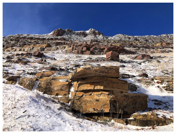
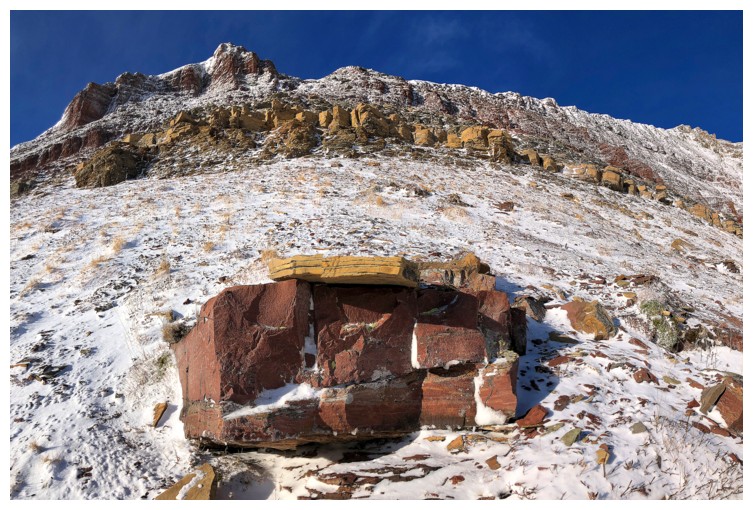
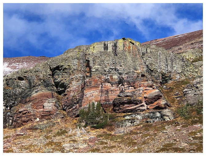
But first there's colourful rock band to check out
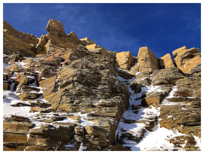
Traversing below the rock band
Looking up it
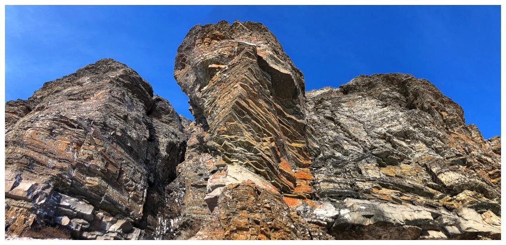
And again
That ridge I need to check out
And the one I'm heading towards
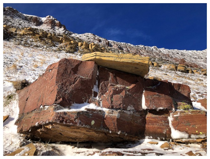
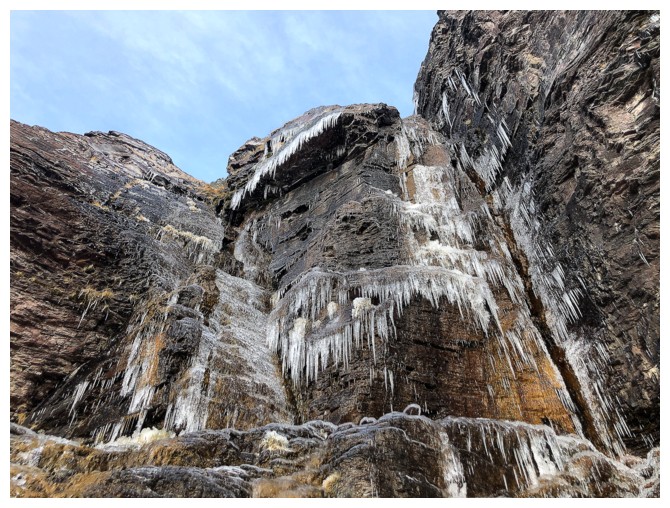
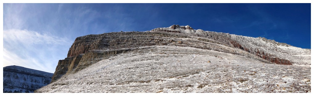
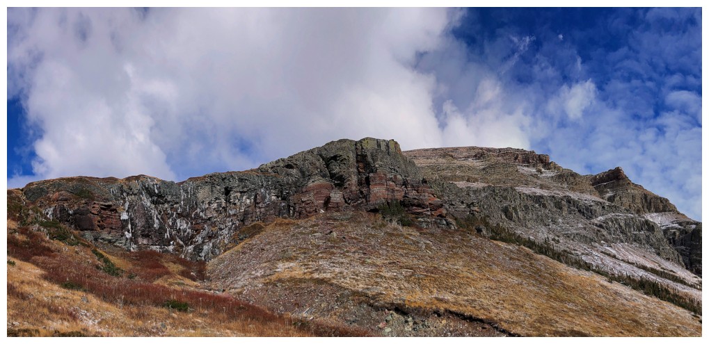
The southeast side of the summit block is teeming with colourful rock.
The terrain is also much steeper than it appears and I opted to go left
and onto the ridge.
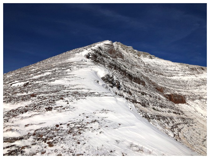
On the ridge. Still about 400 m of elevation to gain.
Looking longingly at the arm I need to explore
The steepness of some of the terrain on the east side of the ridge is evident here
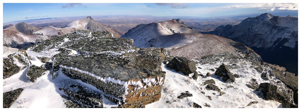
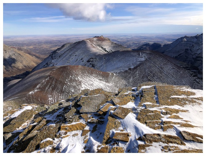
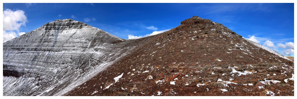
The west end of Spionkop Ridge - still one of the best summit views I've ever seen
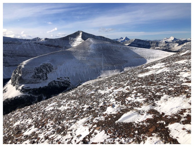
The middle summit of Loaf (centre) makes an appearance
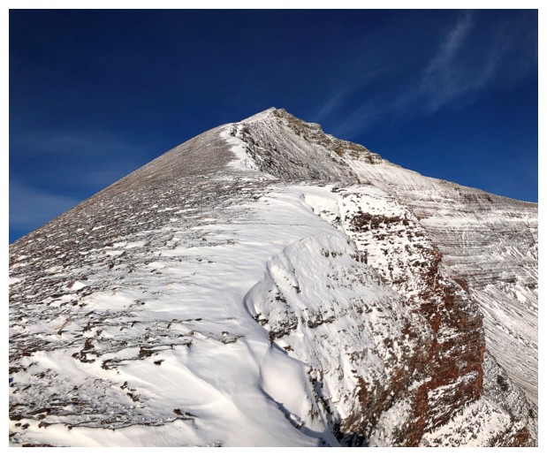
Getting close to the top
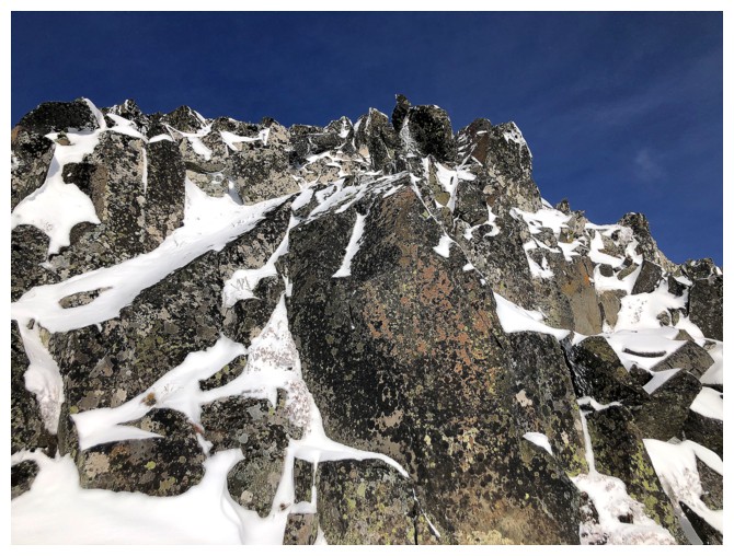
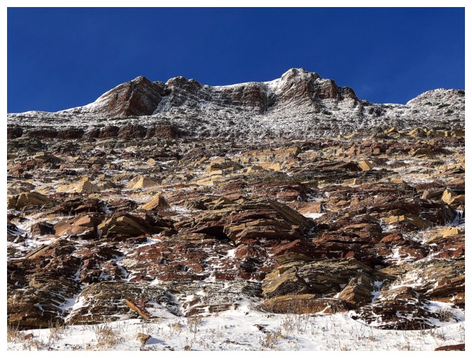
About time I encountered some lichen-covered rock!
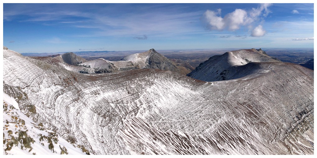
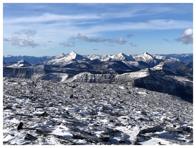
Drywood Mountain (centre) and Pincher Ridge (left) join the view
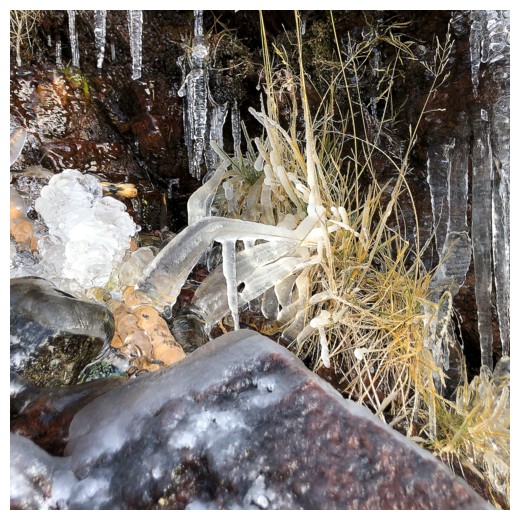
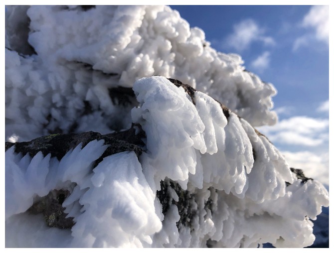
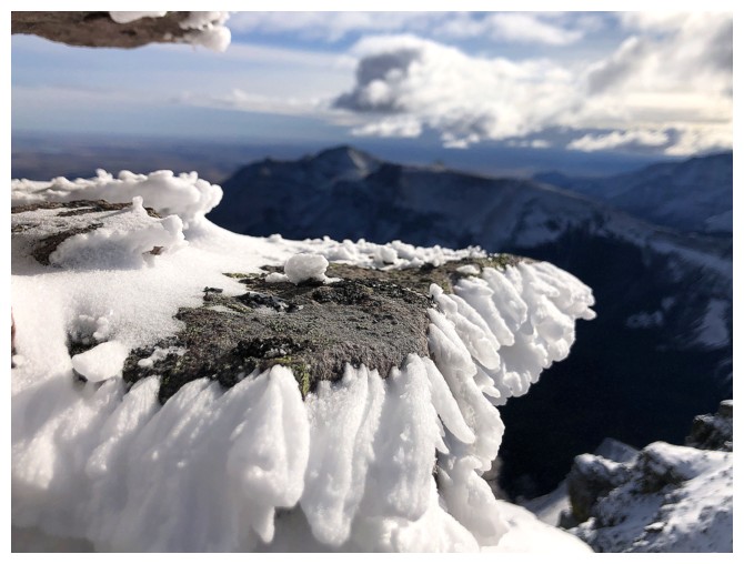
Rime on the rock
Same as above
And again, but with more of the muted view
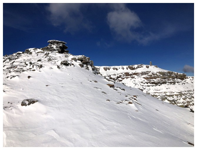
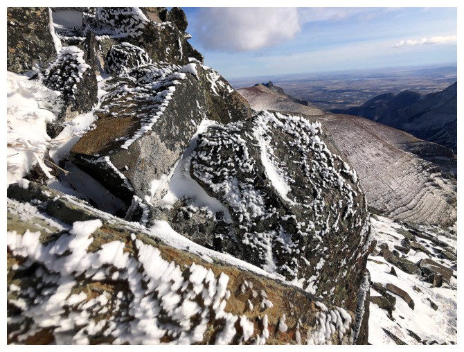
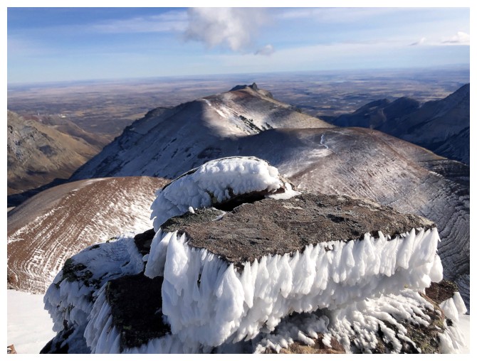
Summit cairn finally in sight at the right
The view to the east is taking shape but is clearly going to lack the punch it packs on a clear day
Steps away from the cairn at the left
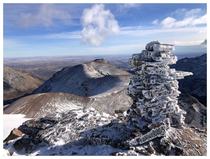
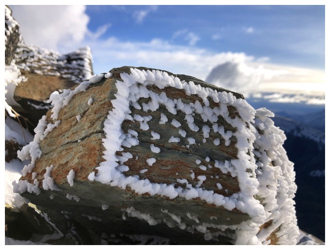
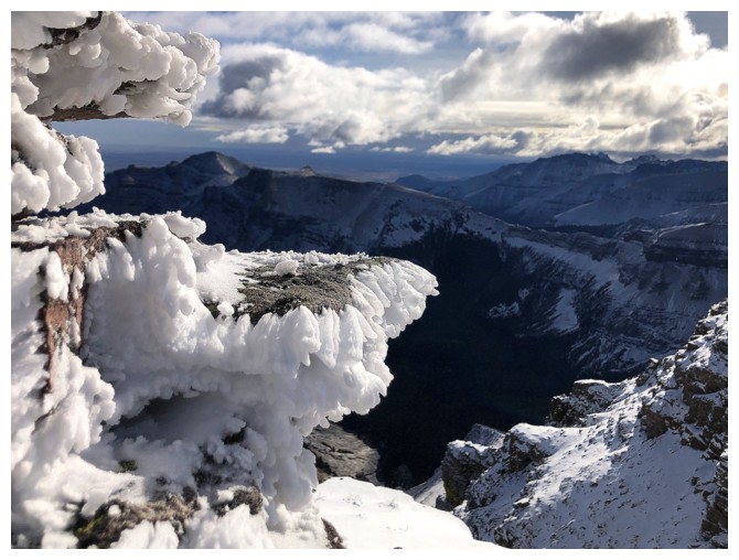
The rime-covered cairn
View into the West Castle
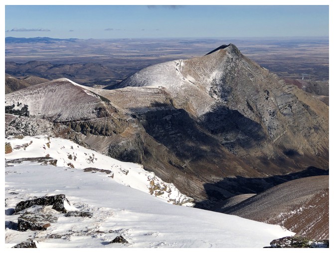
Drywood Mountain
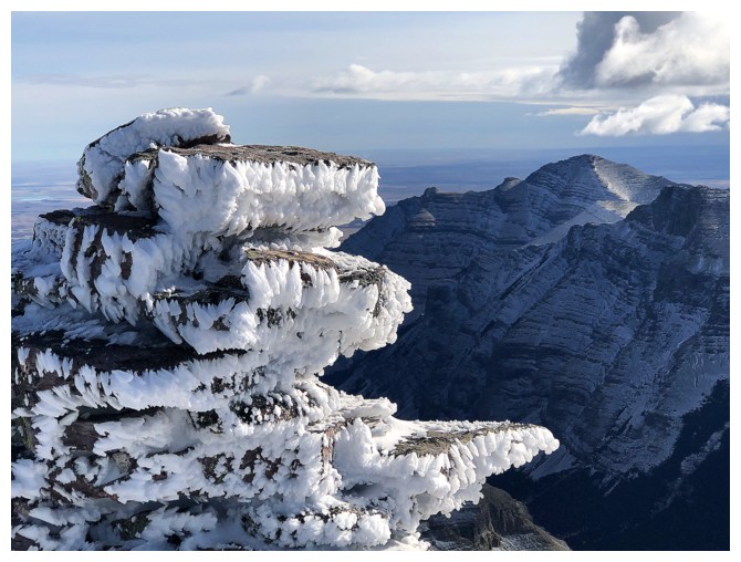
Here come the "Rime on the Cairn" shots (yet another great name for a music rock band!)
Last one!
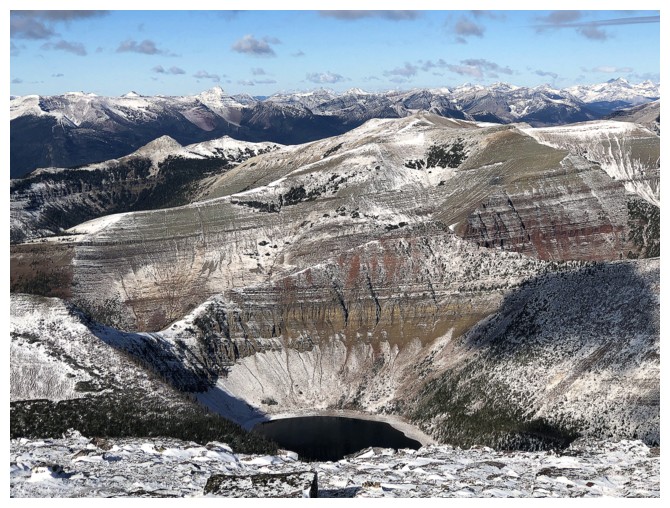
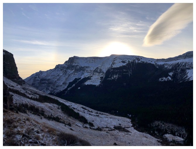
Bovin Lake (lower centre) is also not looking as spry as it usually does
View to the southwest
Last lacklustre look (a vicious tongue-twister!)
Heading down
The colourful rock in front makes this a little less lacklustre (doesn't roll off the tongue either)
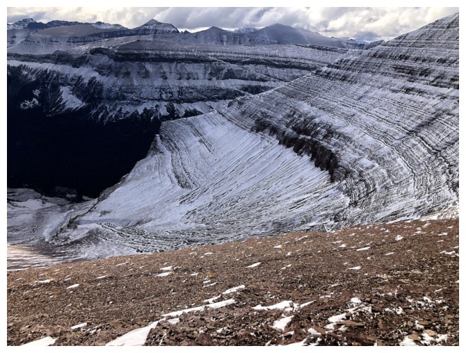
Looking down into the bowl I will eventually be in
Drywood and Pincher again
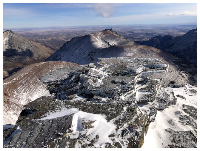
Last look at the summit before descending into the bowl
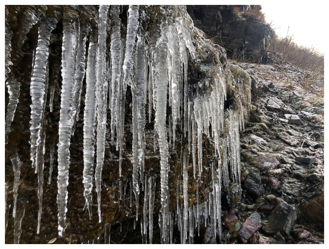
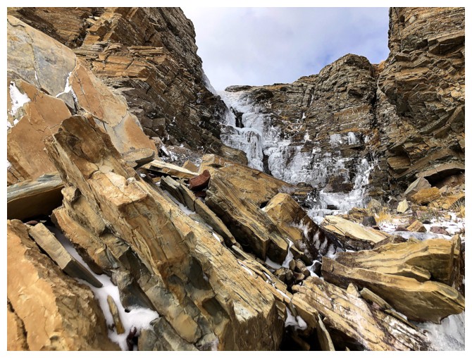
Another encounter with ice-covered rock
Back to the other one
The best views I got in terms of colourful rock and relatively clear skies
Back at the place where I left my bike and ready for an easy (trail), followed by a super easy (gas road) ride back
And in no time I'm back at the trailhead
The End
LOG