Spionkop Ridge III
September 4, 2017
Mountain
height: 2576 m
Elevation gain: approx. 1300 m
Ascent time: 5:05
Descent
time: 3:30
Solo scramble.
 Given my love (obsession) for The Castle, I thought a
hike up Yarrow Creek would be a pleasant way to spend a couple of hours. I had
followed the gas road to its end when ascending Mount Yarrow, but travel beyond
that point would be new to me. It was 11 am when I left my car so a short
trip was in order.
Given my love (obsession) for The Castle, I thought a
hike up Yarrow Creek would be a pleasant way to spend a couple of hours. I had
followed the gas road to its end when ascending Mount Yarrow, but travel beyond
that point would be new to me. It was 11 am when I left my car so a short
trip was in order.
After the very pleasant hike past the wonderful east side
of Yarrow I made my way down to the gas road. Although hiking the gas road may
be dull for many, at least you are exposed to the more colourful views of Mount
Yarrow on the right and the massive form of Cloudy Ridge Junior on the left.
Plus, travel is pretty darn fast on the super easy terrain.
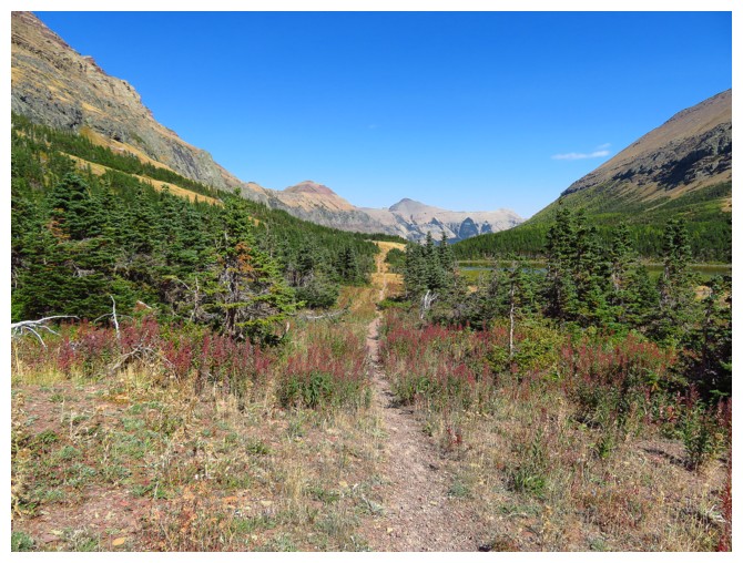
The Yarrow Creek trail was fantastic, it’s only flaw, a
lack of travel near the scenic creek. However, views of Spionkop Ridge and
Mount Roche were inspiring throughout. As such I decided to continue on to the
unnamed tarn at the end of the trail.
 About 4 hours after leaving I arrived at the tarn. There
was no break however. Enjoying some of the best weather of the summer, (i.e. no
smoke) and awesome scenery, an ascent of close by Spionkop Ridge became
obligatory. The view from this summit is one of my favourite in all of the
Rockies. It didn’t matter to me in the least that I had visited Spionkop’s
summit twice before – as a general rule I have found the overwhelming majority
of summits in Waterton and The Castle to be worthy of multiple visits.
About 4 hours after leaving I arrived at the tarn. There
was no break however. Enjoying some of the best weather of the summer, (i.e. no
smoke) and awesome scenery, an ascent of close by Spionkop Ridge became
obligatory. The view from this summit is one of my favourite in all of the
Rockies. It didn’t matter to me in the least that I had visited Spionkop’s
summit twice before – as a general rule I have found the overwhelming majority
of summits in Waterton and The Castle to be worthy of multiple visits.
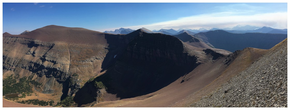
From the tarn, the ascent to the summit was
straightforward, very easy and needless to say, a spectacular summit view
awaited there – the best I’ve experienced so far from that summit. Of course
the outrageously colourful forms of Loaf and Spionkop ridge were centre stage,
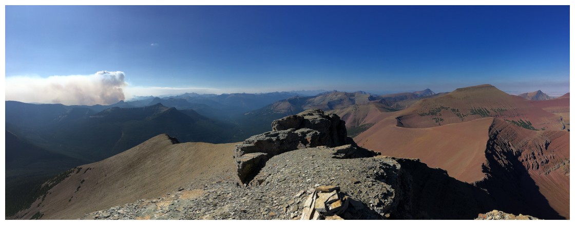
however also of interest were the two forest fires to west. I could see
helicopters flying in and out of the smoke – very scary!
I left the summit at a somewhat late 4:15 pm, given that
I had to be back in Calgary the same day. After an easy descent, I was
surprised to find a note on my car, requesting that I remove the vehicle
immediately, as the road was going to be closed. A coffee fueled drive home ended an awesome
day out.
Epilogue: Shockingly, those two fires would a week later
grow into one huge and out of control fire that would ravage Waterton National
Park. One estimate stated that 70% of the Waterton forest was lost.
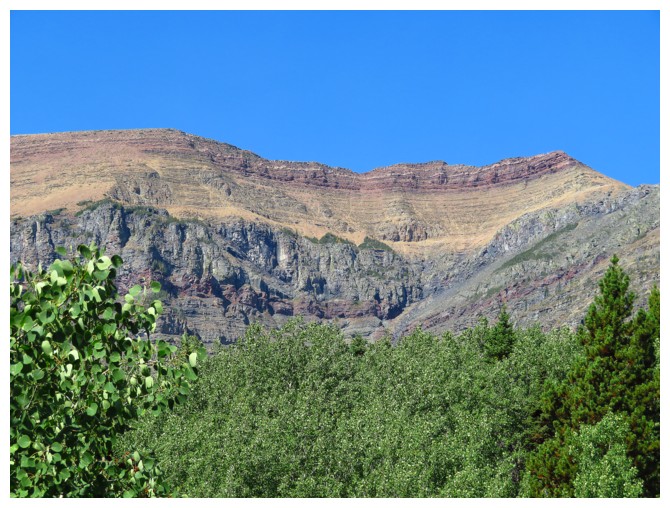
The east side of Mount Yarrow
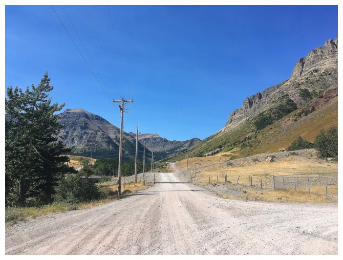
Easy gas road travel
The south side of Yarrow
The northeast side of Mount Glendowan
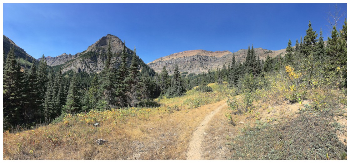
Typical scenery along Yarrow Creek trail
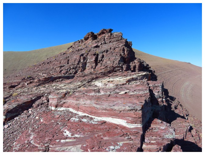
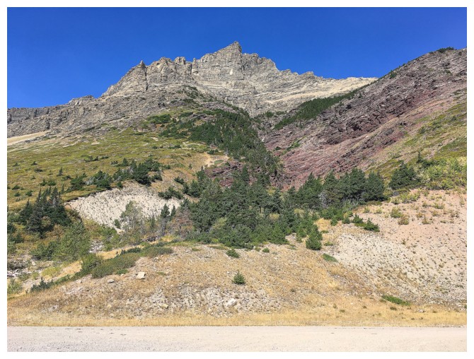
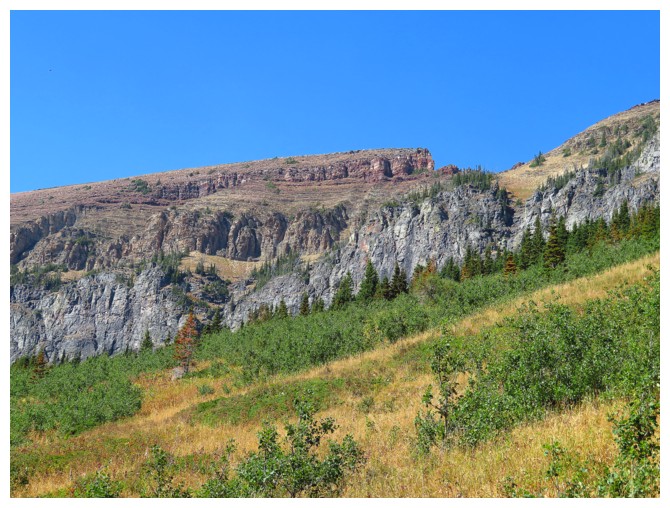
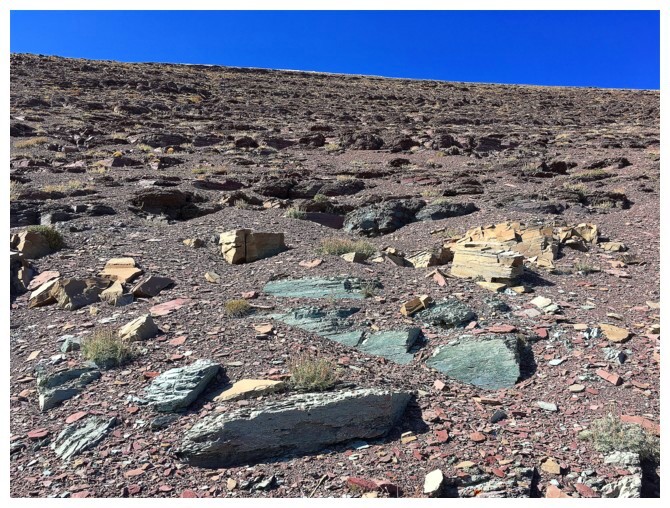
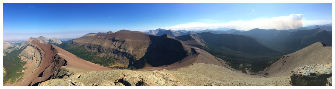
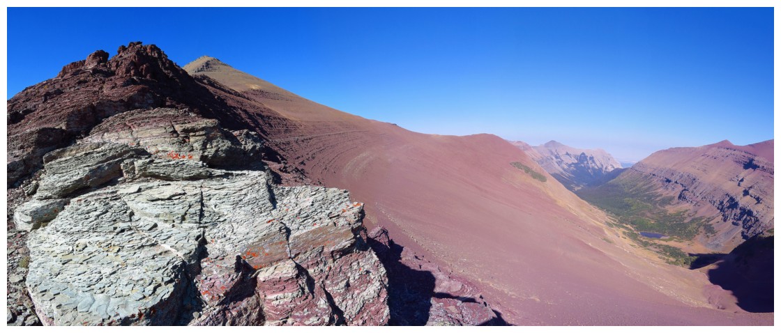
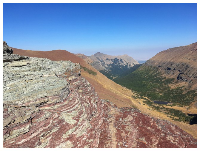
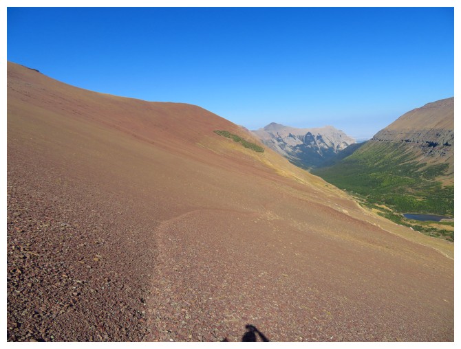
The colourful layers of Spionkop Ridge
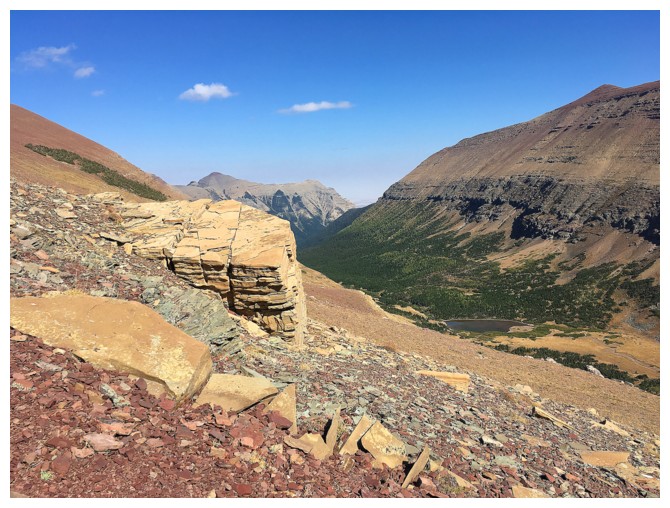
The only opportunity to get into Yarrow Creek
Trouble ahead
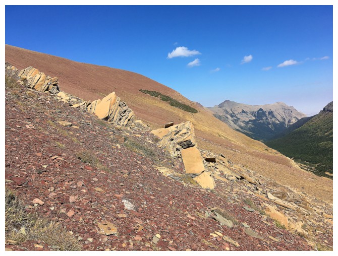
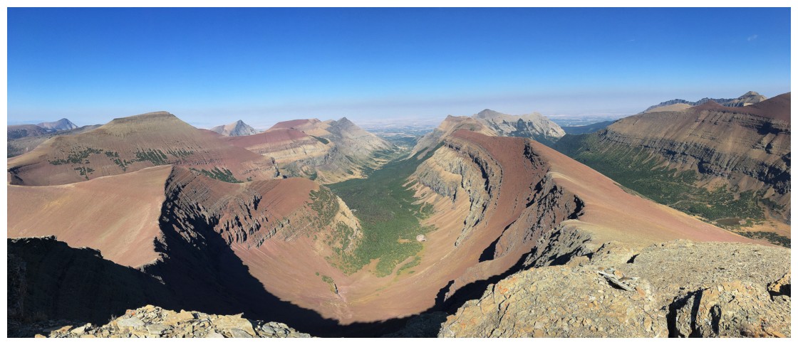
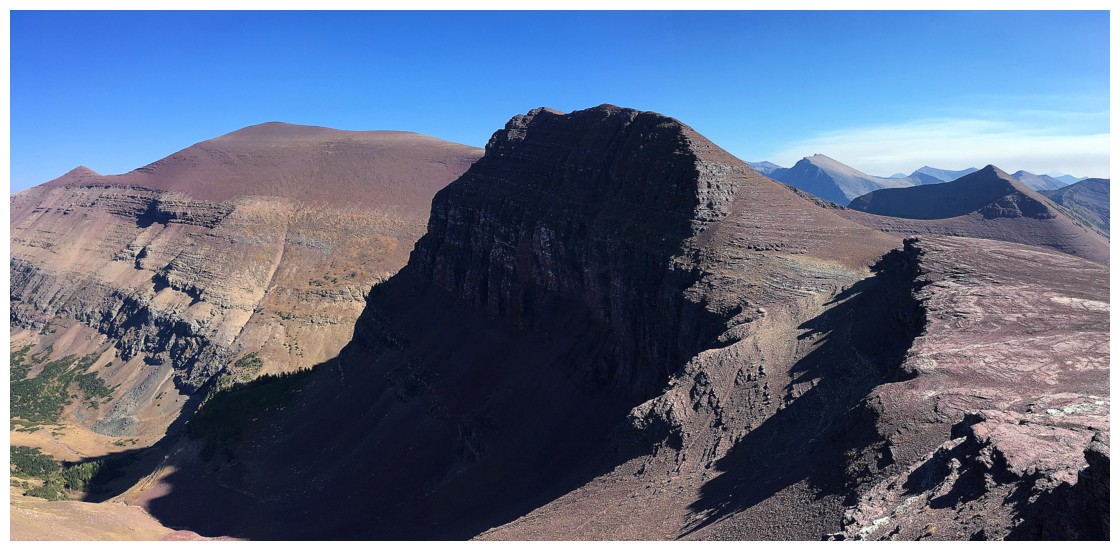
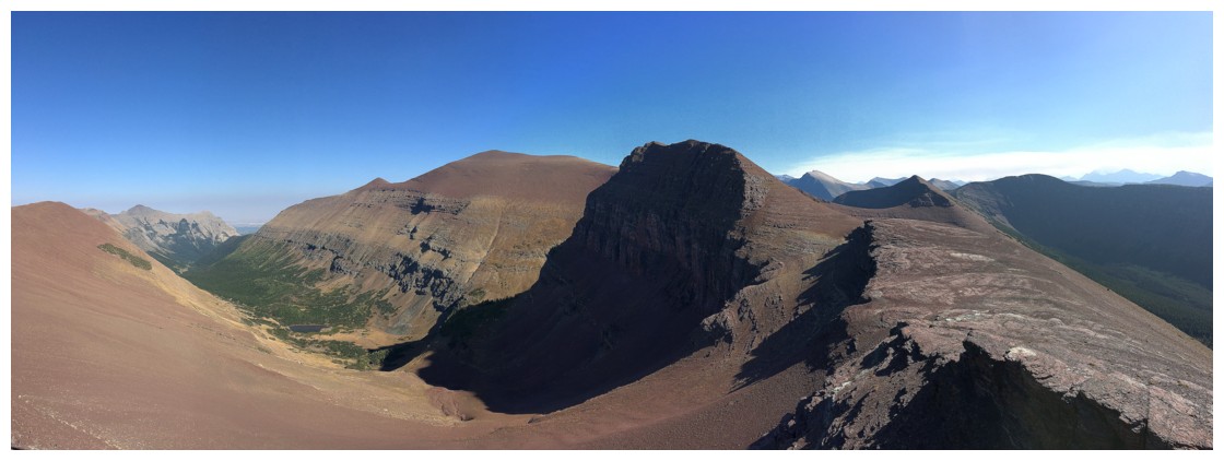
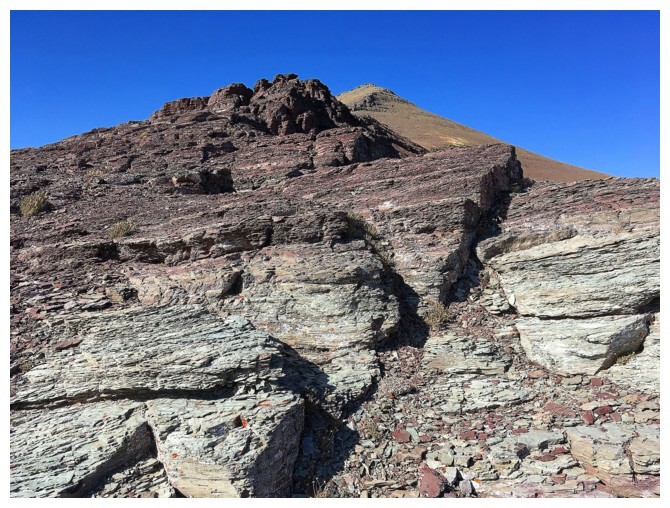
The (non) crux of the lengthy, but intensely scenic Spionkop traverse
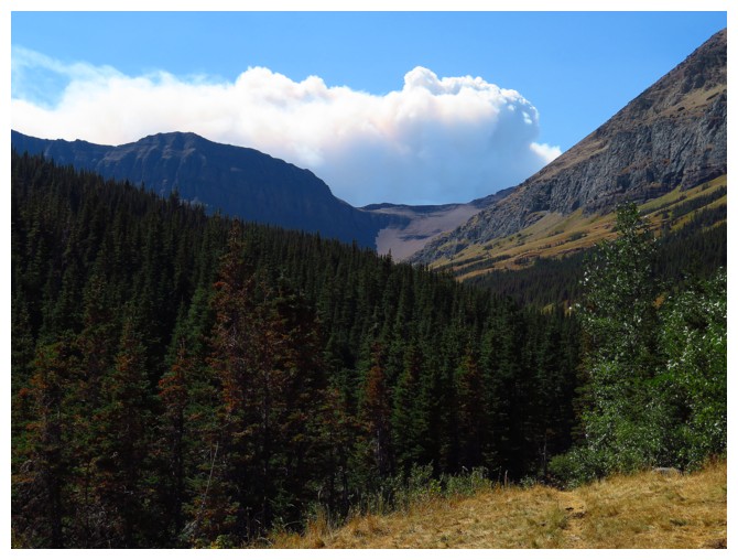
The smoke from the fire looks like it is just over the ridge connecting Spionkop to Newman
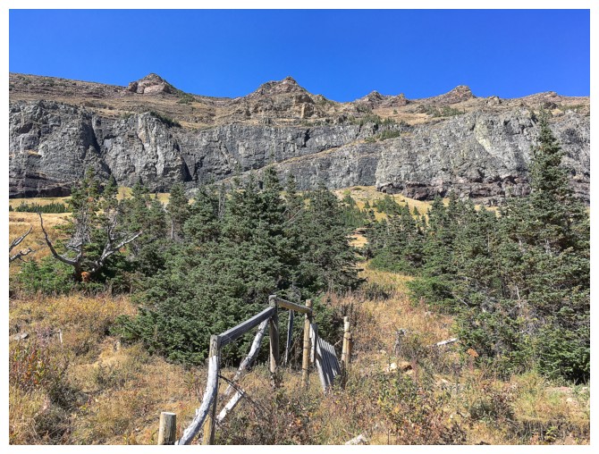
An old cattle fence
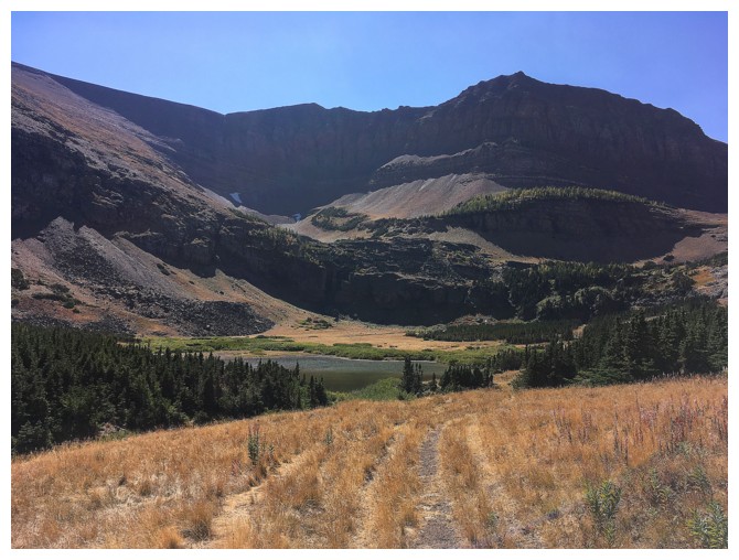
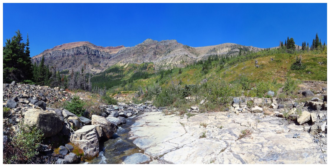
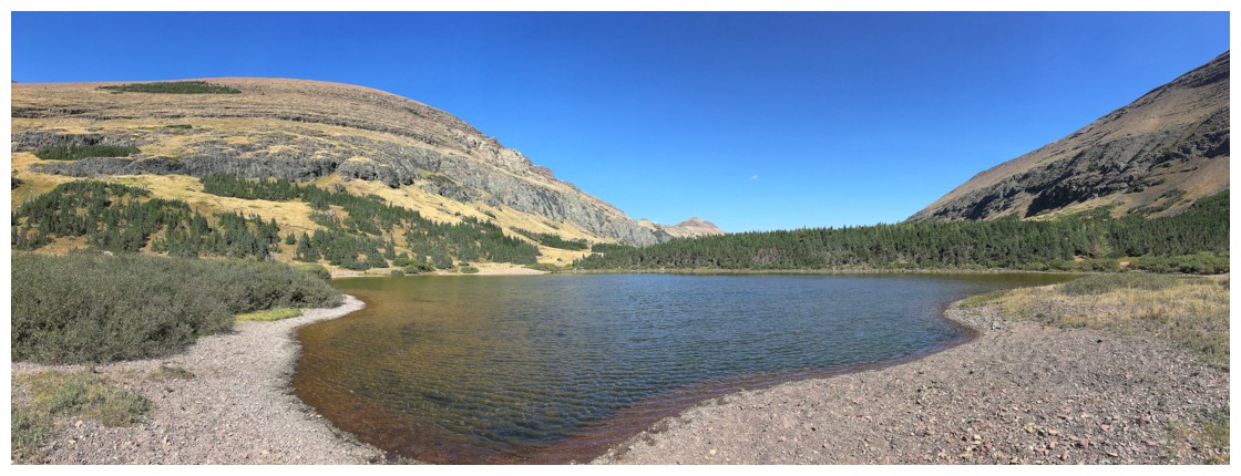
Approaching the tarn
From the west end of the tarn, looking back to Spionkop Ridge and Mount Roche
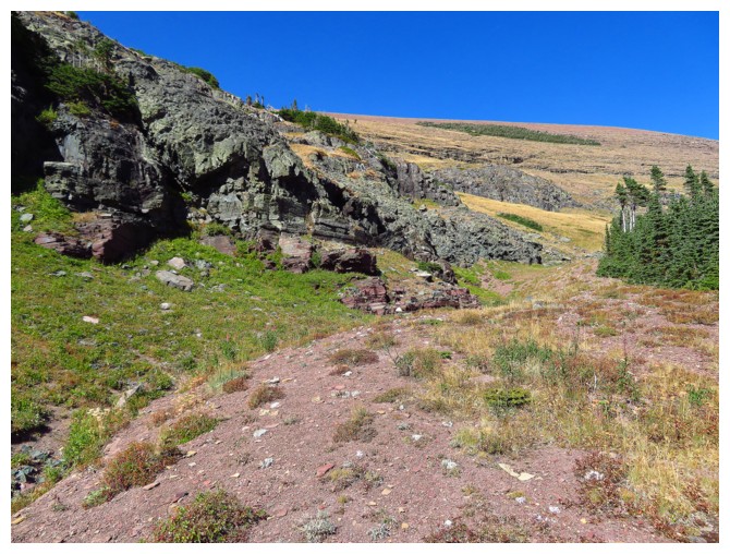
The route up Spionkop starts with some beautiful terrain near a headwall
Colours of The Castle
The line of smoke coming in from the west
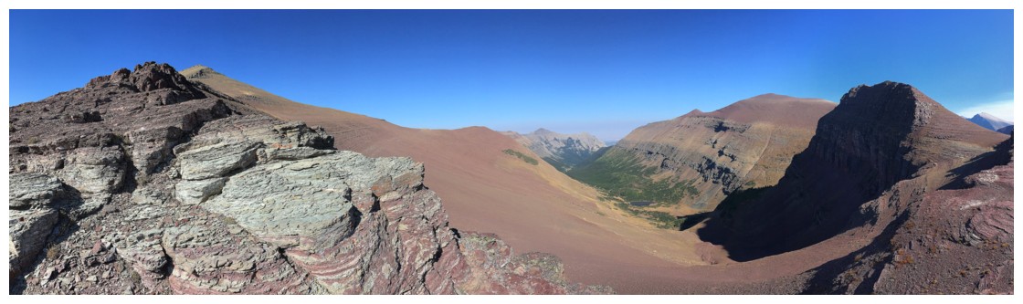
Approaching the summit, some of the length of Spionkop is revealed
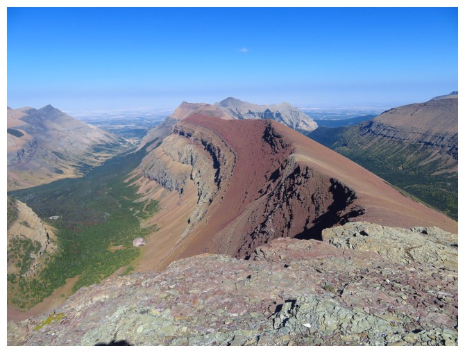
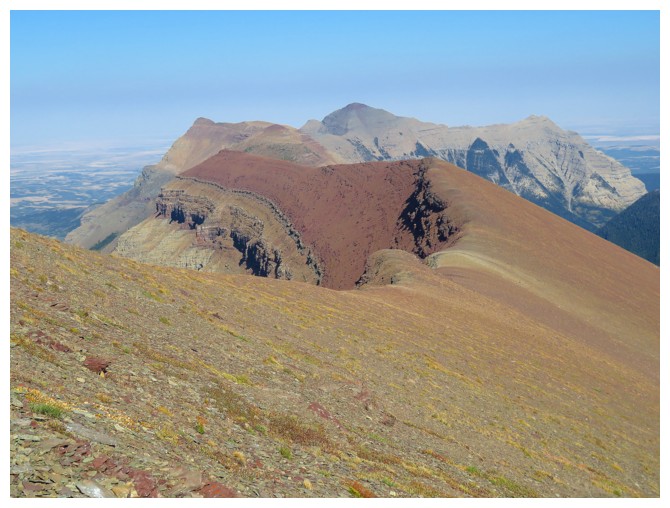
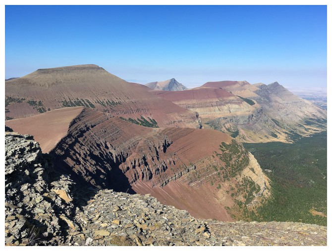
The classic view of Spionkop Ridge
The classic view of Loaf Mountain from the summit of Spionkop
Damn!!
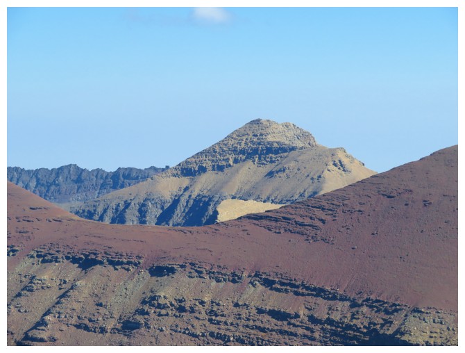
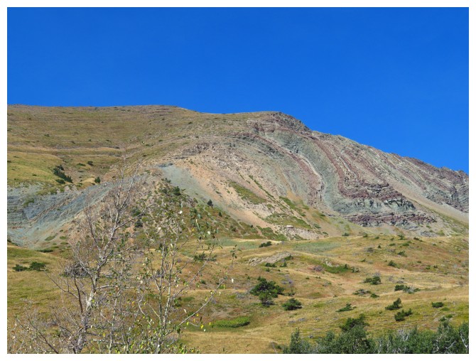
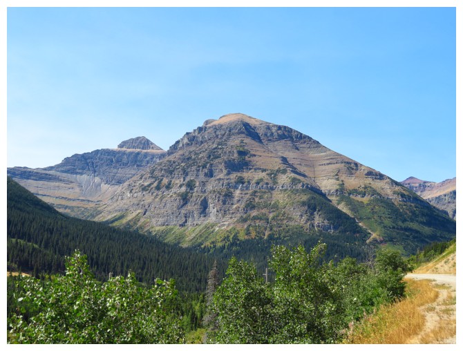
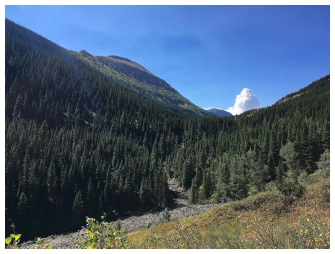
Mount Glendowan
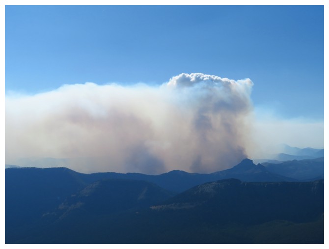
The bulk of the fire seems to be originating from just beyond Mount Matkin
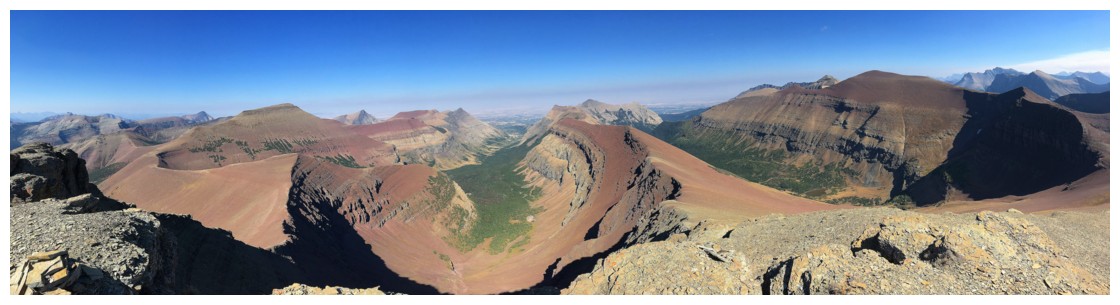
Can't get enough of the view to the north, east, and south
A better look at the where the fire is at this point
Same as above, but from the north side
Heading down, with great views of Newman Peak (centre) and "Newman Senior" (left)
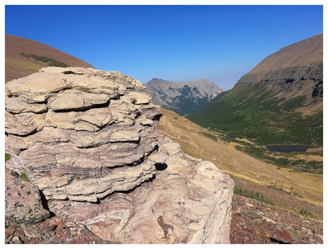
No shortage of great rock scenery on descent
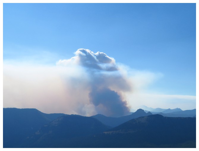
A last look at the fire. Hard to imagine it would engulf Waterton Park within the week
Damn!!
An awesome animal trail made the alternate descent route super easy
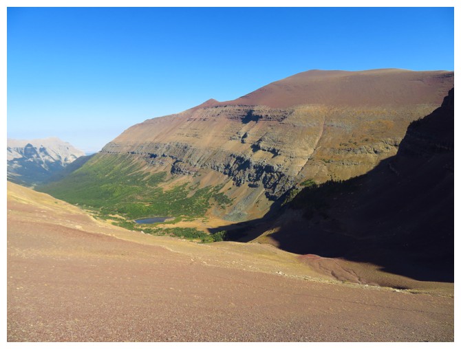
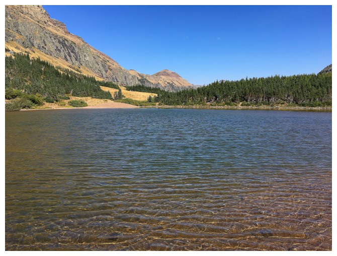
The tarn and Newman Senior
The End