The Croissant VI
The Muffin V
December 6, 2020
 Mountain heights: 2037 m and 2000 m
Elevation gain: approximately 400 m
Round-trip
time: 3:30
Solo scramble.
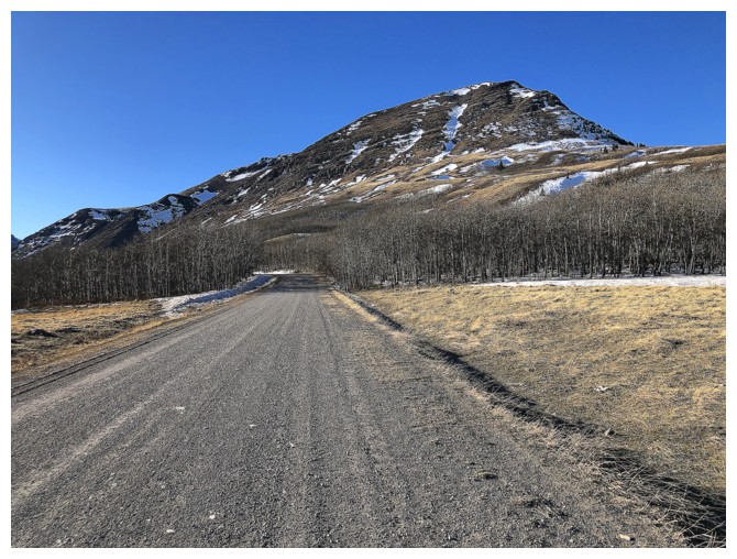
The Muffin and The Croissant are quickly
asserting themselves as my favourite “go-to” destinations when a short day is
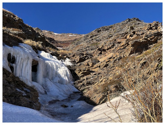
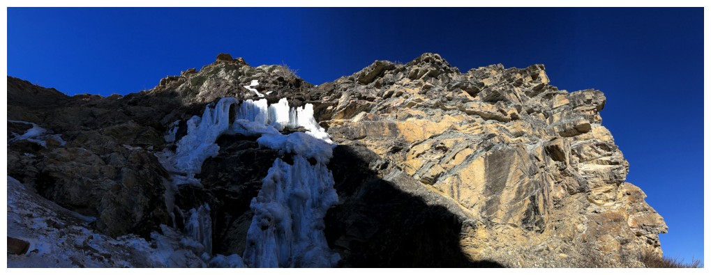
required. The 1 km approach takes you to a drainage with a frozen waterfall, at
which point you have several amazing ascent options to either summit. Above the
waterfall, the drainage splits. Having taken the right fork on two occasions, this
was a perfect opportunity to check out the left fork. The other goal here was
to more fully explore the stunning rock bands that line the southeast face of
The Croissant.
Without going into the all the steamy
details, the trip was a rousing success, and the rock scenery exceeded my
already high expectations in spades. In addition, a couple of fortuitous
encounters with remaining ice on the slopes provided some stunning close-up ice
scenery.
After quick stops at both summits, I returned
to the southeast face of The Croissant to relive the red argillite rock band
experience Mark and I enjoyed early in the year. Back down near the gas road a
quick visit to the frozen waterfall was pretty much mandatory. Some of the ice
had collapsed, bringing down a significant amount of rock with it – perhaps
I’ll think twice about ever trying to ice climb this one!
Even with the extra to time to explore, there
were still several gullies and routes I bypassed that looked like a treat to
ascend. As long as I remain healthy, I can definitely see The Muffin X, if not
XX in my future!
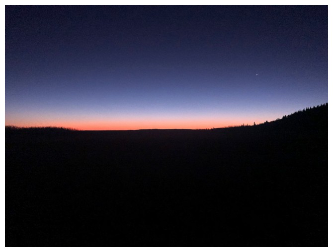
Nothing like an early morning start for cool colours
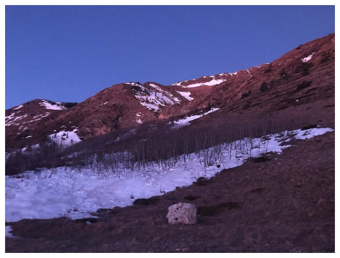
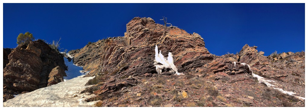
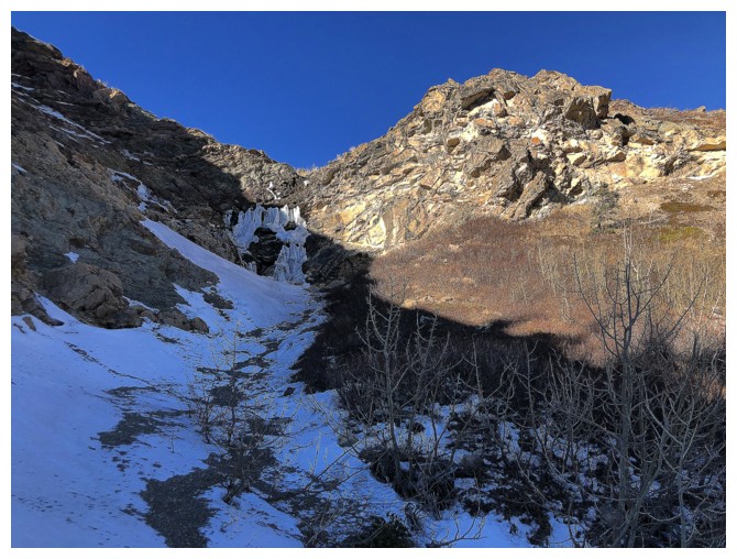
Approaching the ascent drainage. Not much light in that direction.
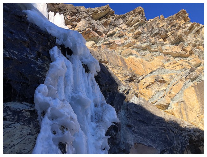
Ascending steep terrain on the right side of the frozen waterfall
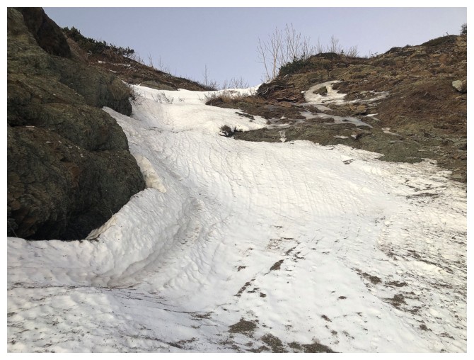
The start of the left drainage above the fall
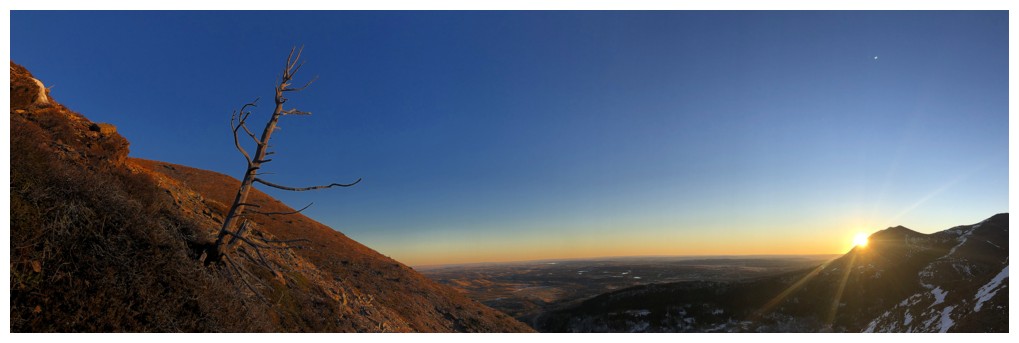
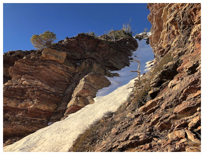
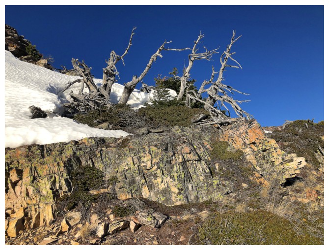
The Sun finally shows its face, just in time to light up this poor lone tree
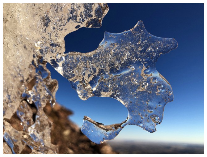
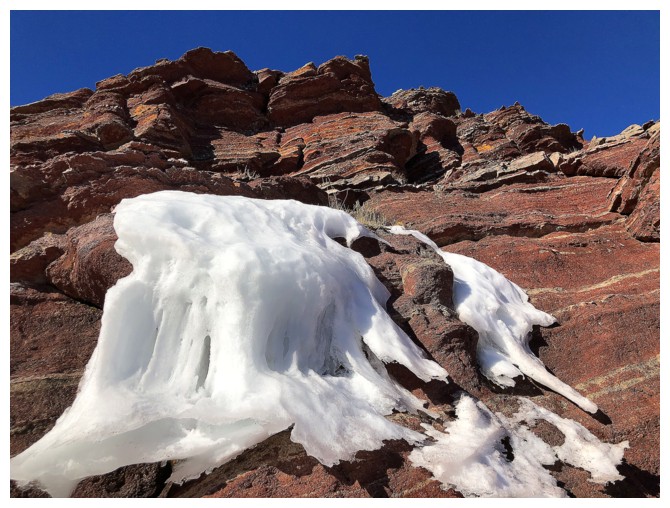
Leaving the drainage to check out some random ice
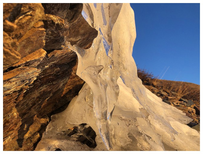
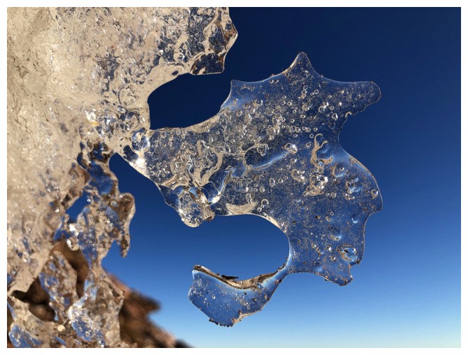
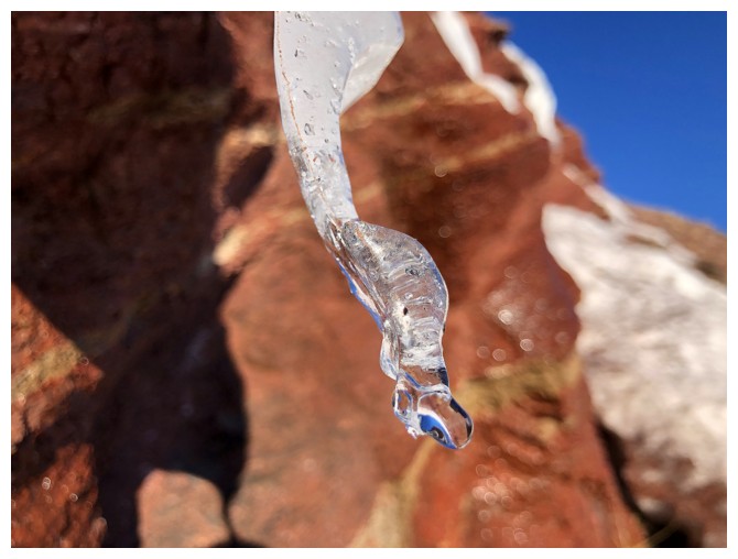
This ice
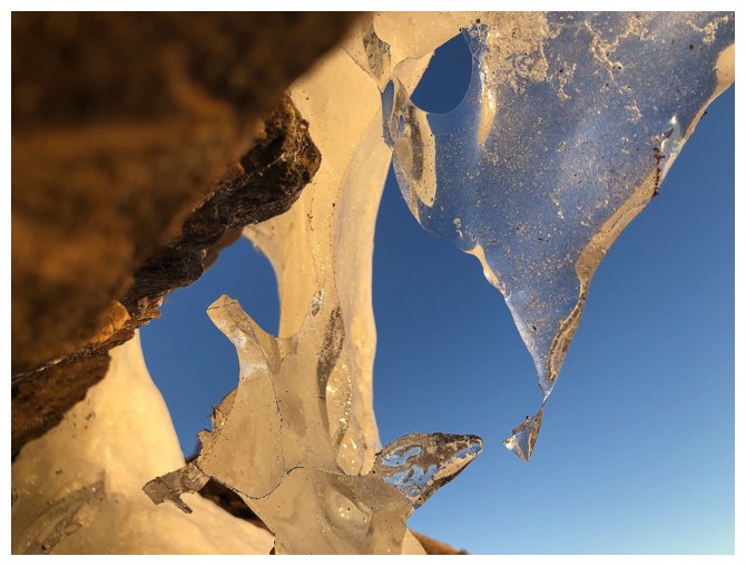
Close-up
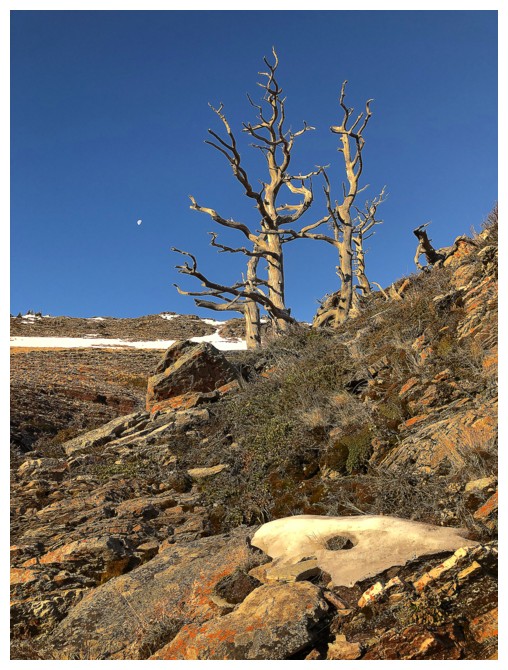
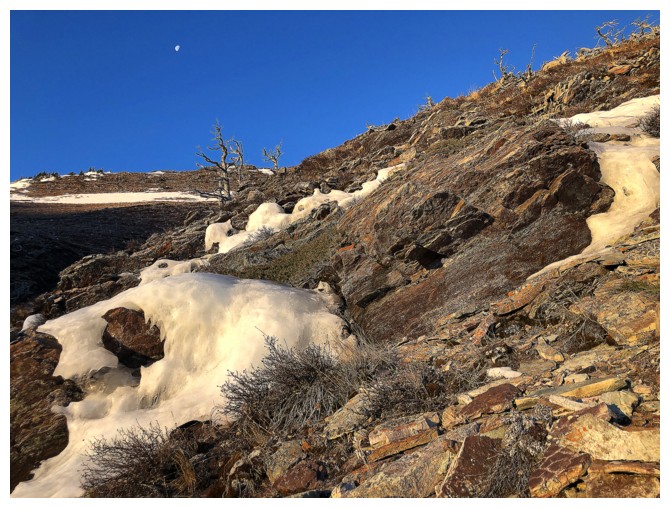
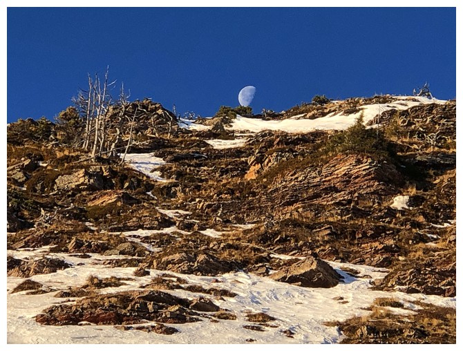
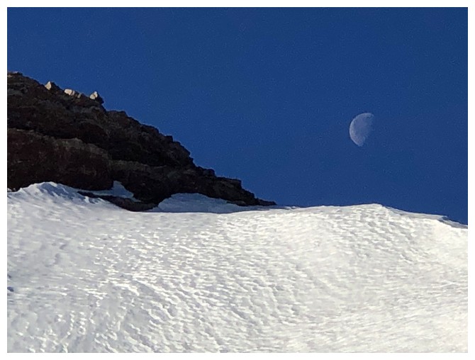
Resuming travel alongside the drainage. The Moon, at the left, continued to be visible for most of the trip.
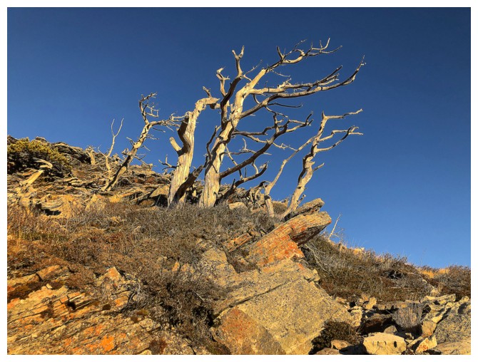
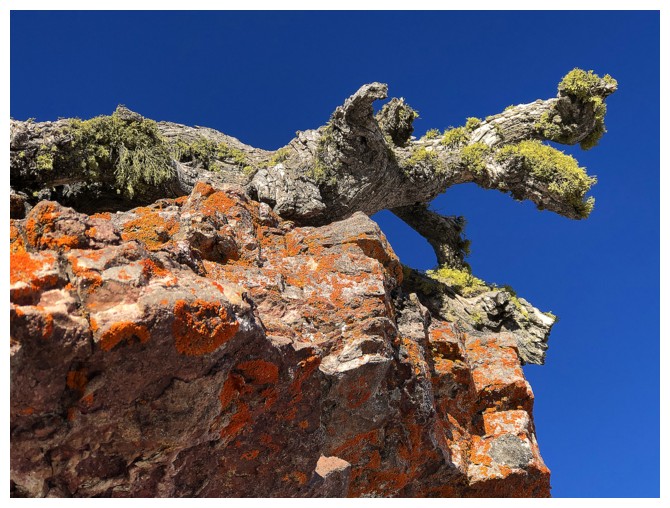
Passing by the wind-affected trees in the previous photo
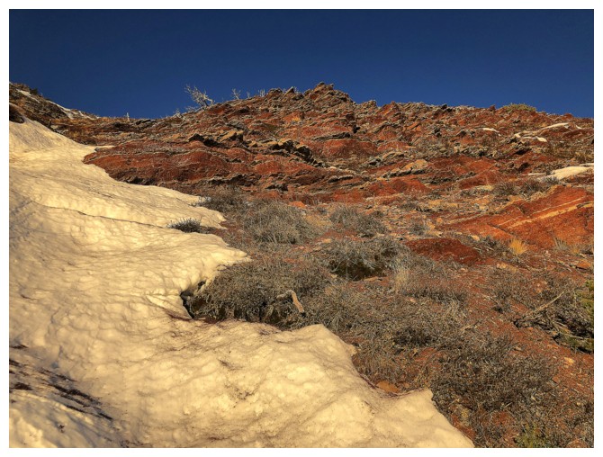
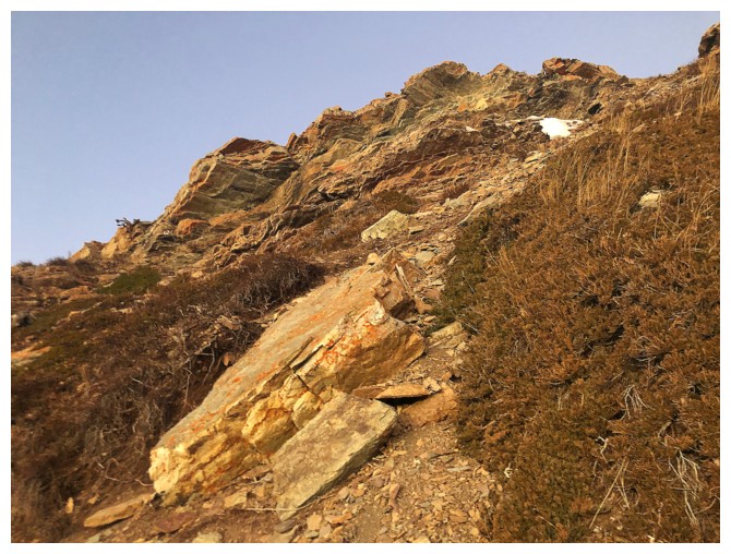
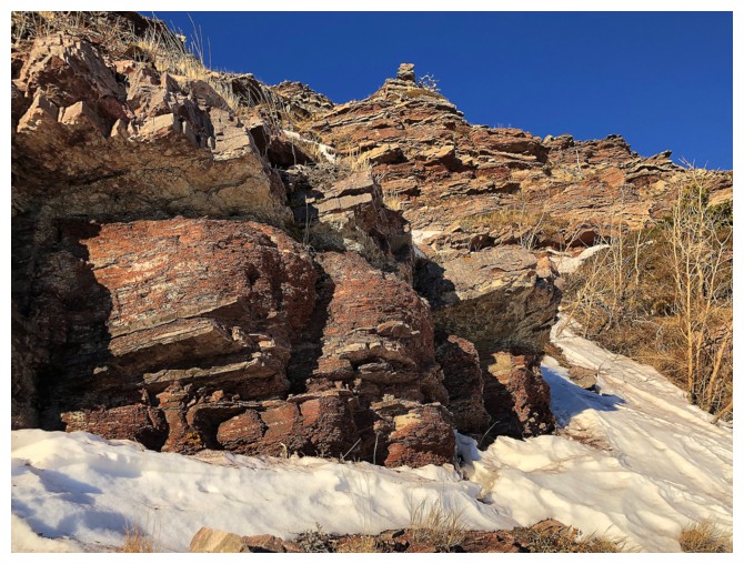
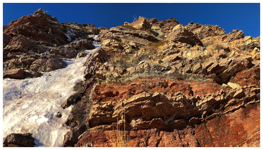
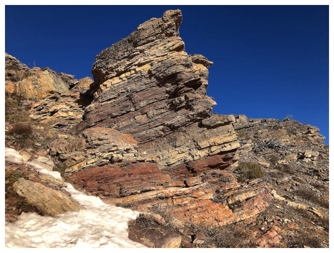
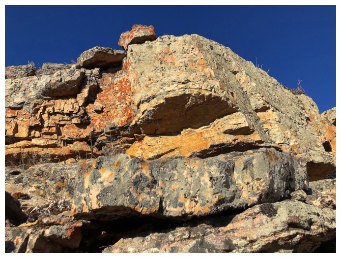
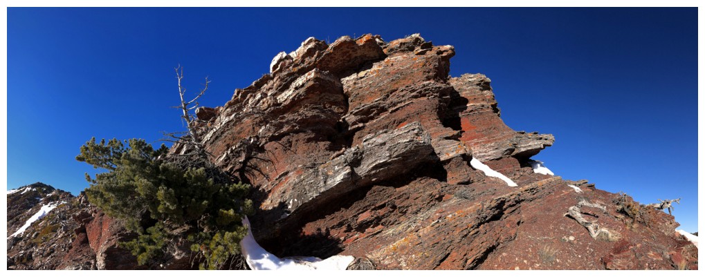
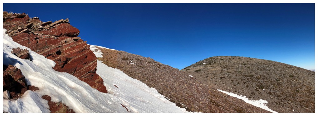
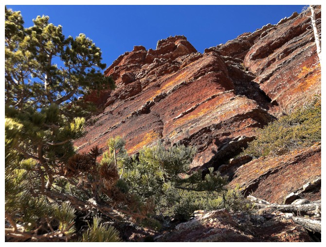
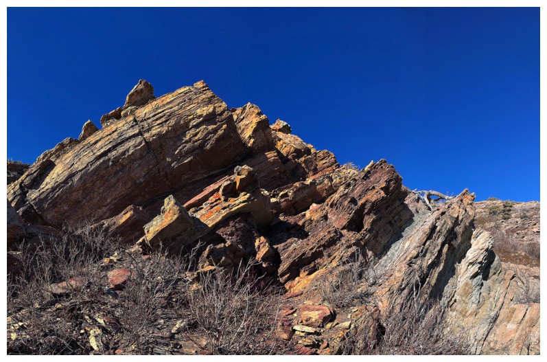
A small taste of the red argillite scenery yet to come
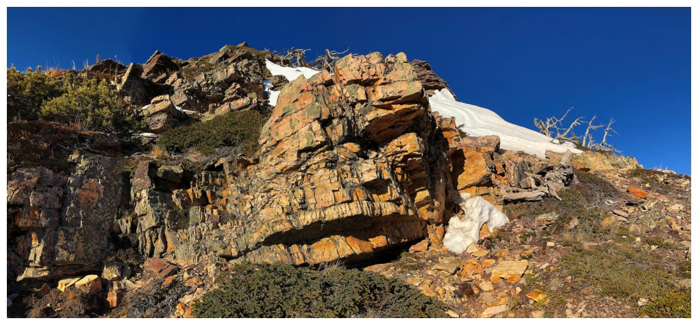
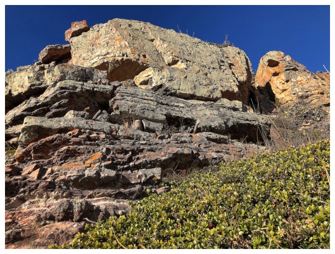
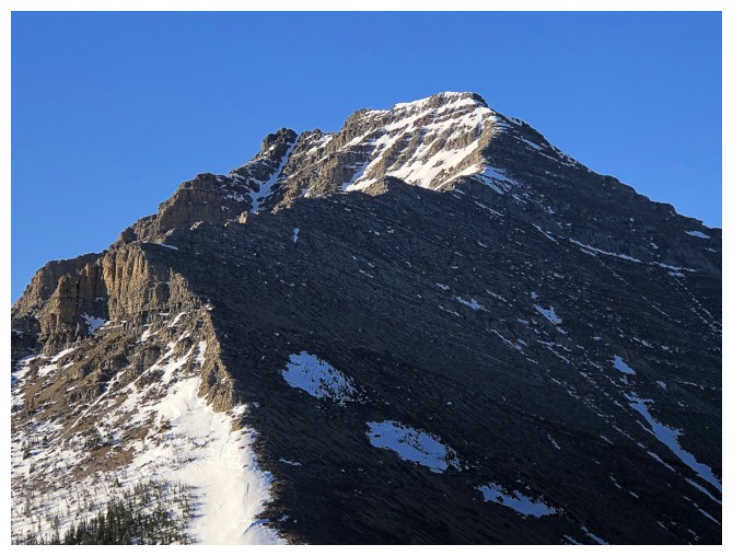
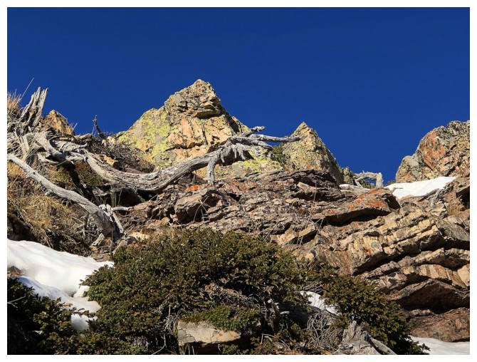
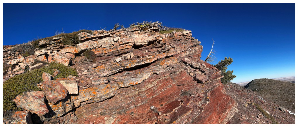
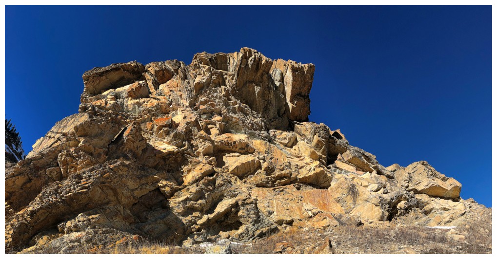
Approaching the rock bands that line the southeast face of The Croissant
The Moon again
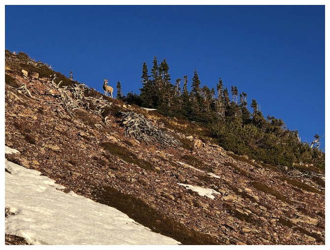
Someone else is enjoying The Croissant
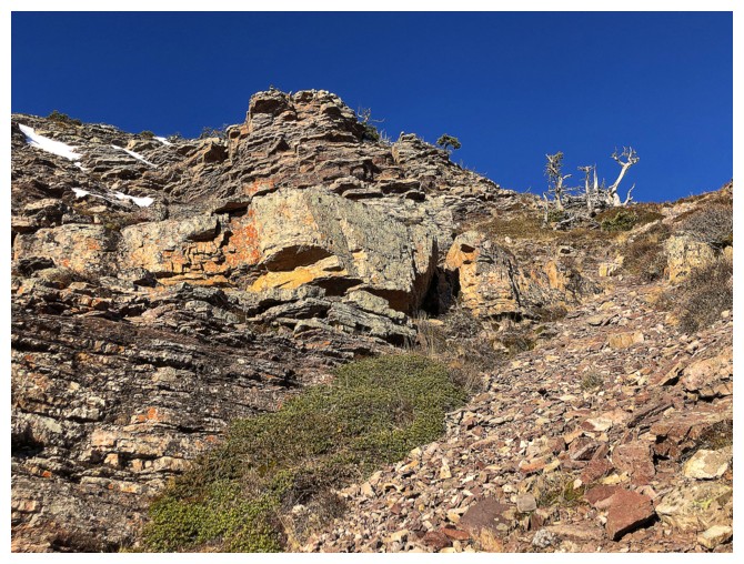
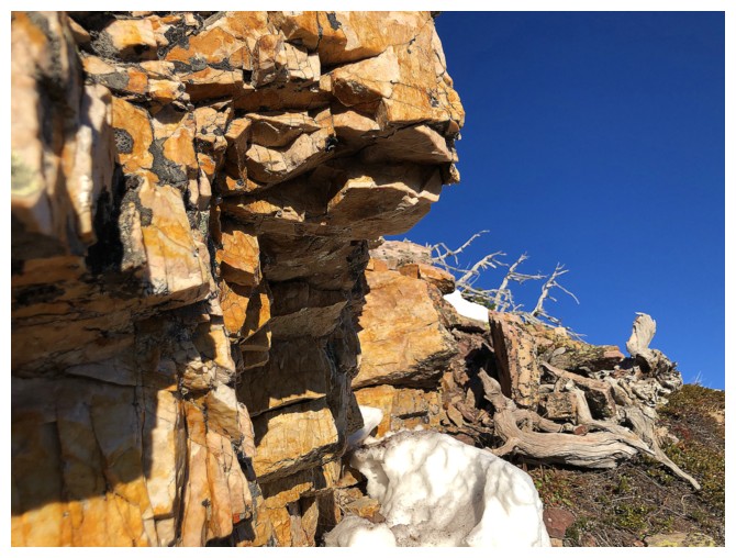
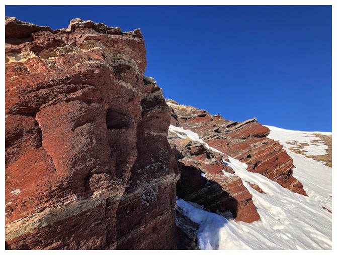
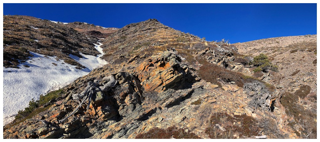
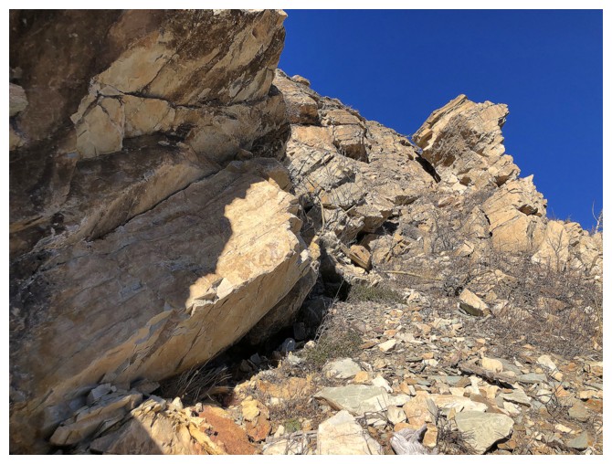
At the base of the rock bands. I traversed below them at this point.
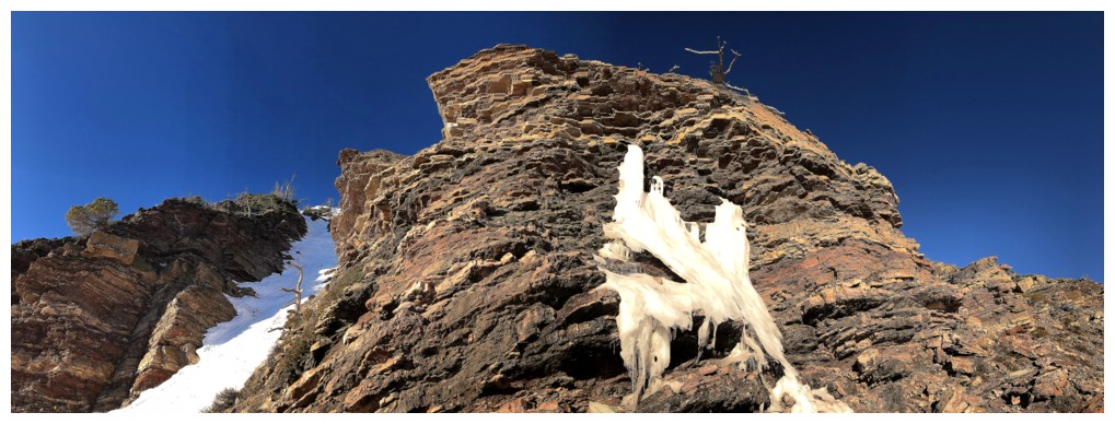
Crampons and an ice axe were very much needed. The rock band has
numerous gullies cutting through it that grant access to the summit
ridge of The Croissant.
Near the first gully
The first gully on the left - a very steep one
More great rock and potential ascent routes. In fact, I used the one on the left on a previous trip.
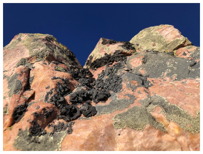
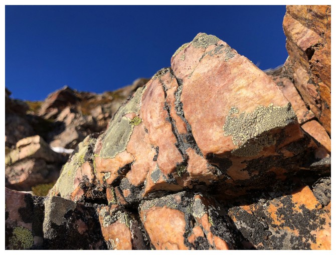
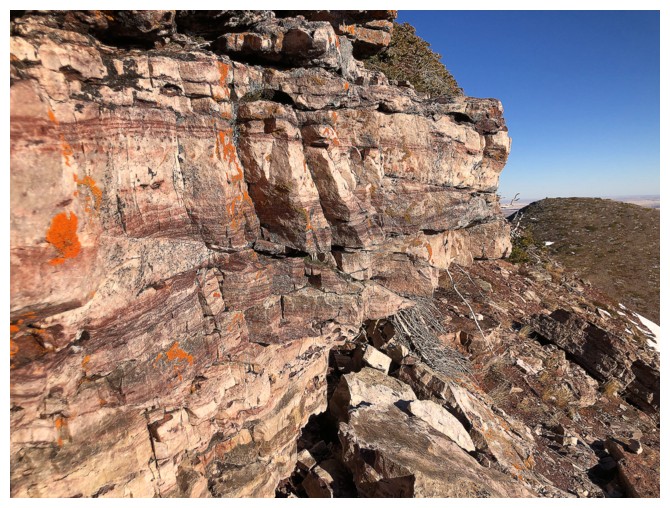
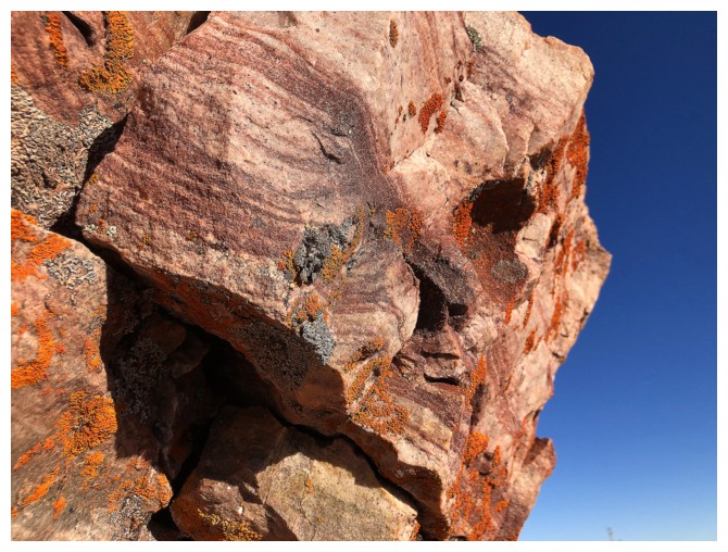
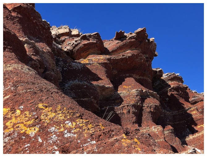
Close-up of the layers of colourful rock
Closer look at the gully I went up already
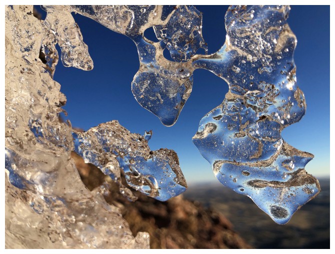
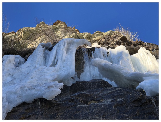
Another run-in with some super cool ice formations
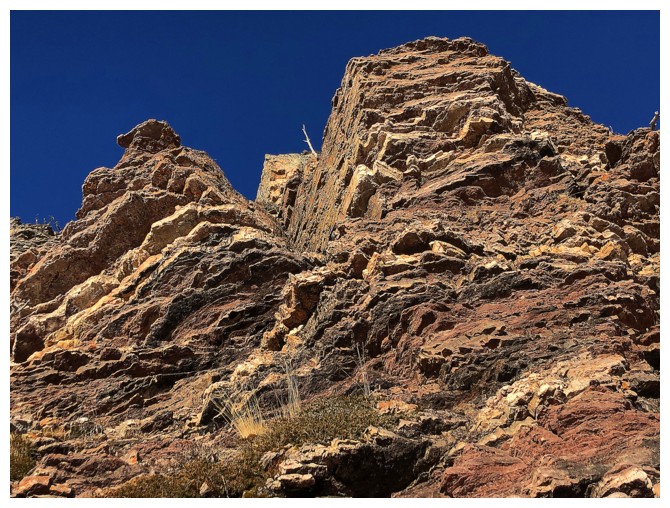
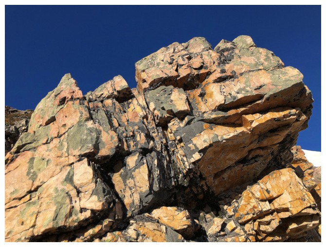
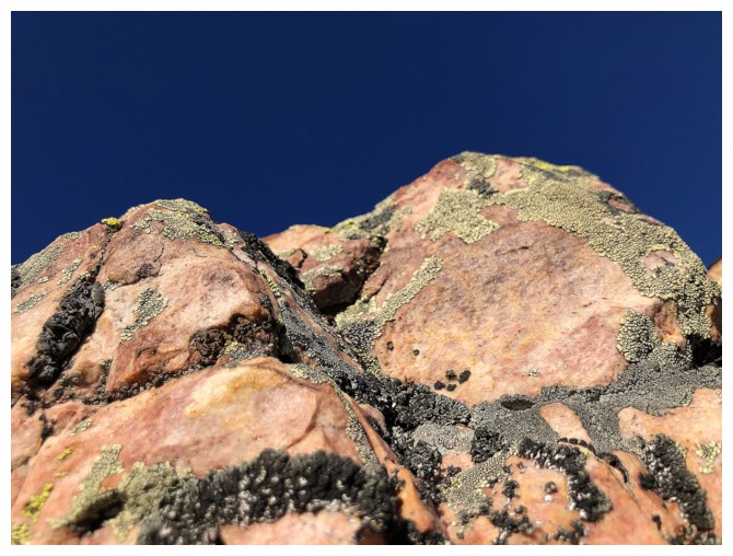
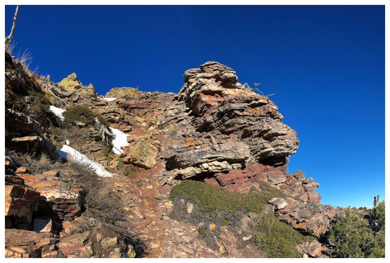
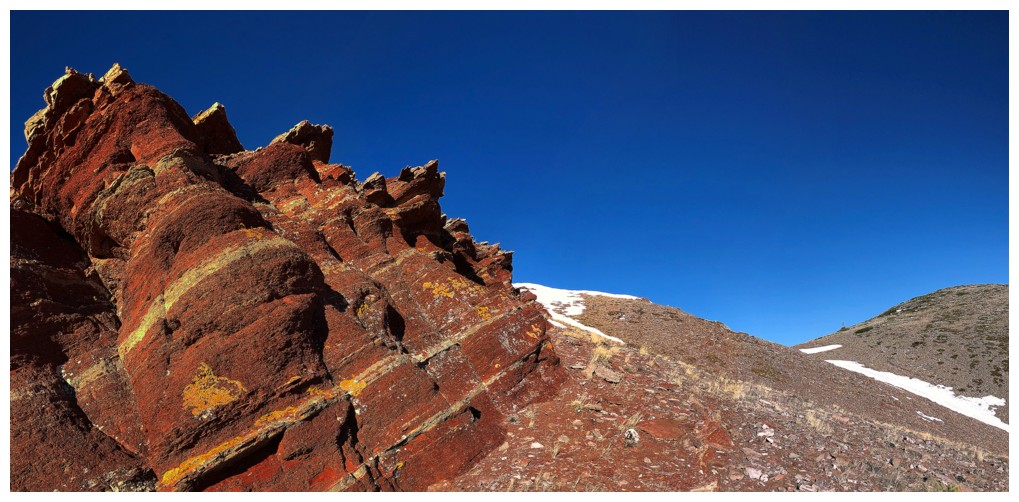
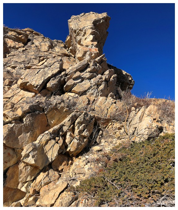
Another sentinel of awesome rock
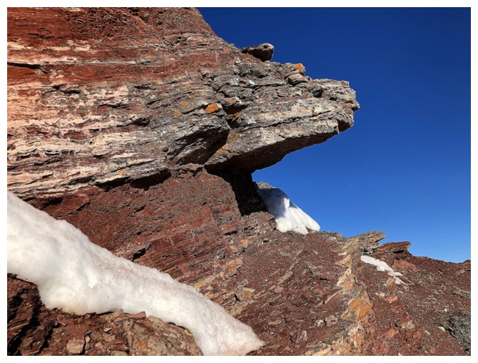
This rock, near the end of traverse was one of the scenic highlights of the trip
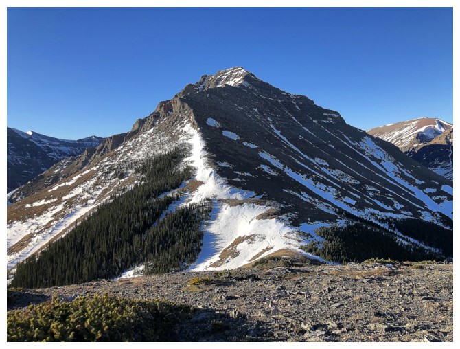
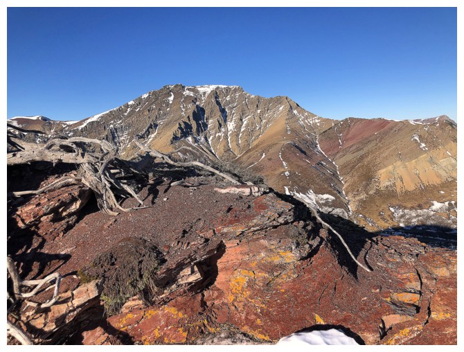
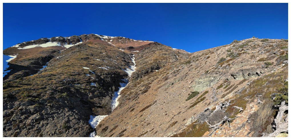
On the ridge and heading up to the summit of The Croissant. Drywood Mountain at the right.
At the summit, looking towards Bakery Peak
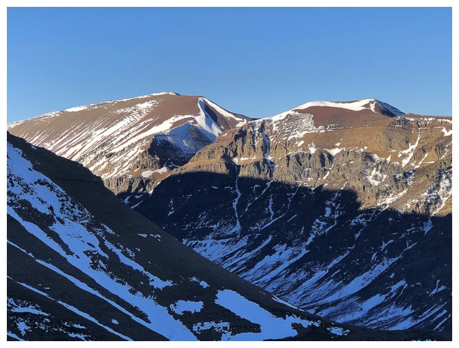
The west summit of Drywood
Close-up of Bakery
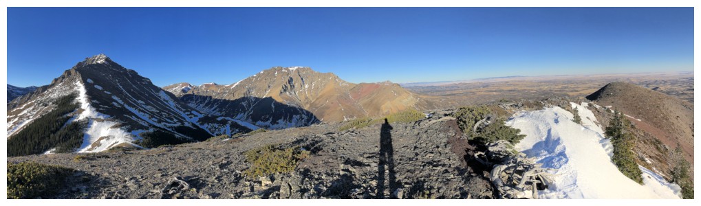
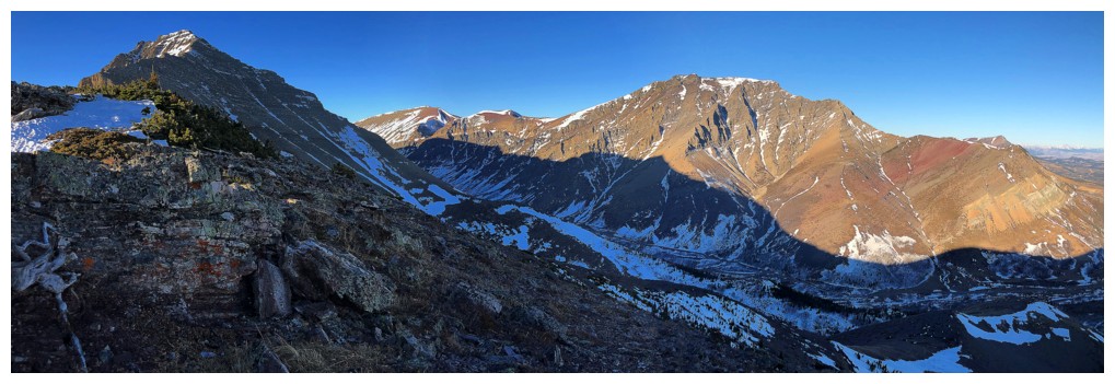
A long shadow in a pano
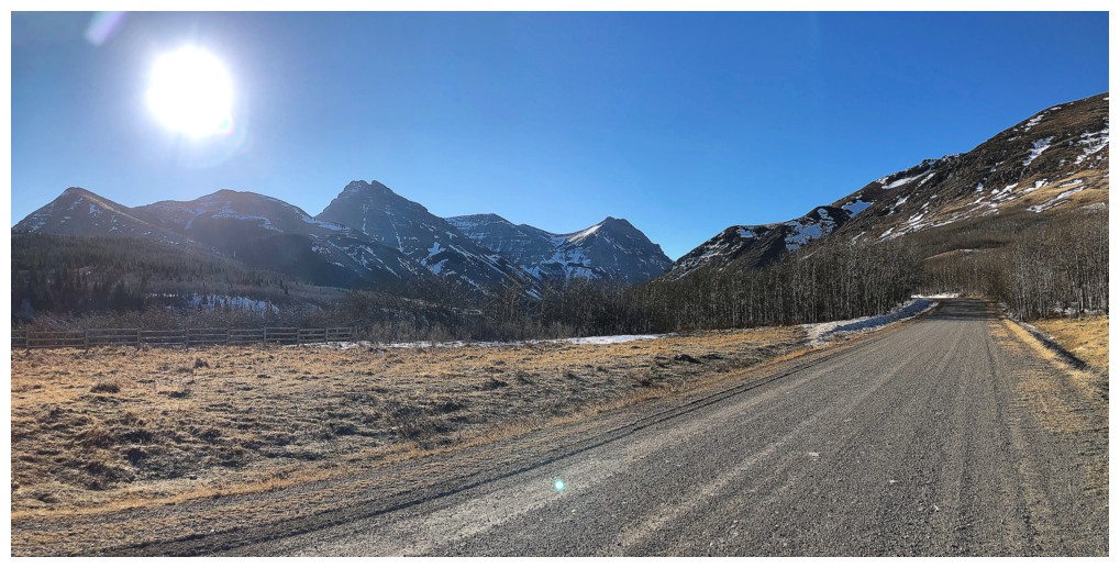
The distant Livingstone massif that includes, Livingstone South, Centre Peak, and Thunder Mountain
Another look at Drywood and it's outlier, "Woody"
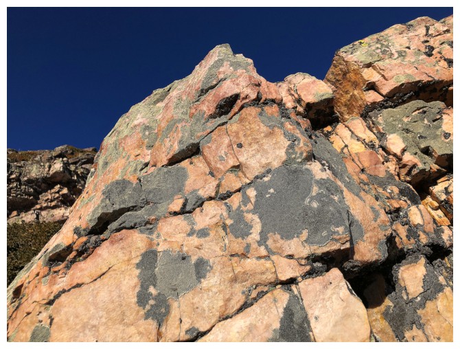
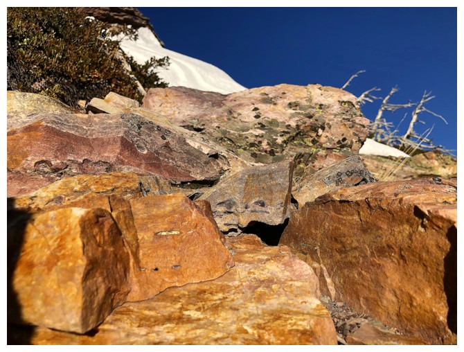
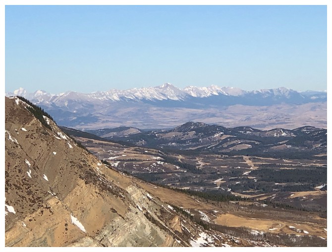
Another area that provided amazing rock scenery
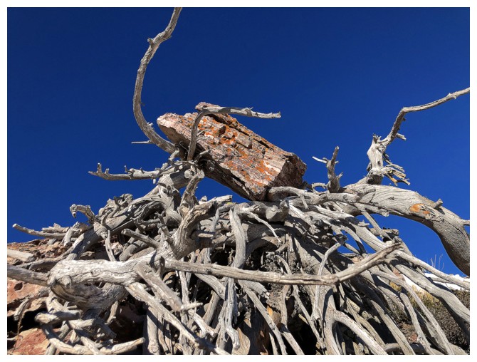
Beats me how this rock ended up there!!
More red argillite to further whet the appetite!
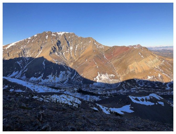
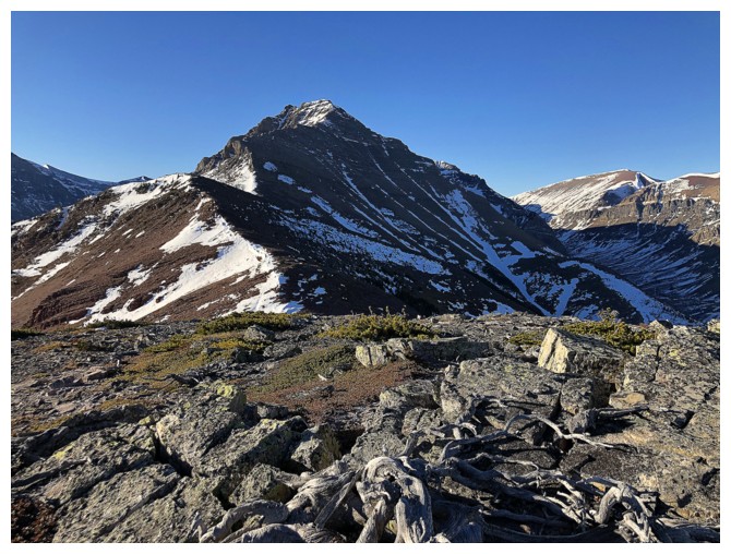
Back on the ridge and that great view of Drywood's northeast ridge and Woody
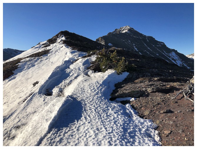
Looking back to The Croissant and Bakery, en route to The Muffin
Summit of The Muffin
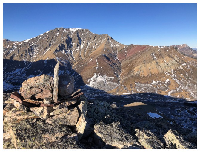
Love The Muffin cairn
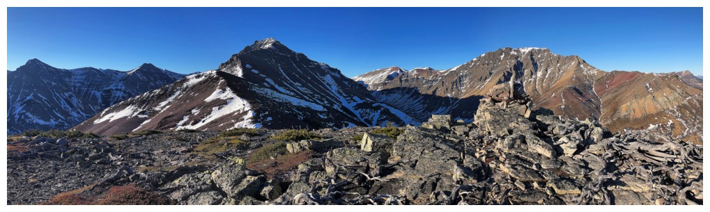
The Muffin pano
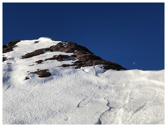
The Moon is still visible?
Yep!
And it's that time again - red argillite magic!
Last ice shot
Time to leave this beautiful area
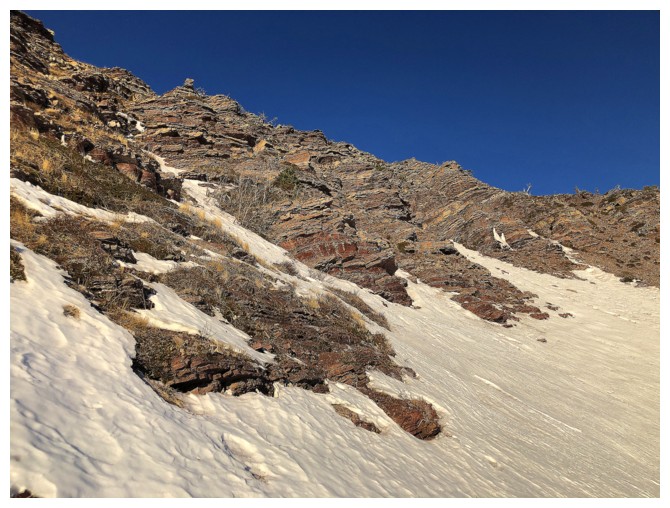
Looking back up the route
I traversed back onto the lower southwest slopes of The Muffin to
complete the descent. My ascent route basically went up the left side,
traversed over to the right, then left up to The Croissant (just left
of centre), then right, over to The Muffin. Descent line was right down
the centre.
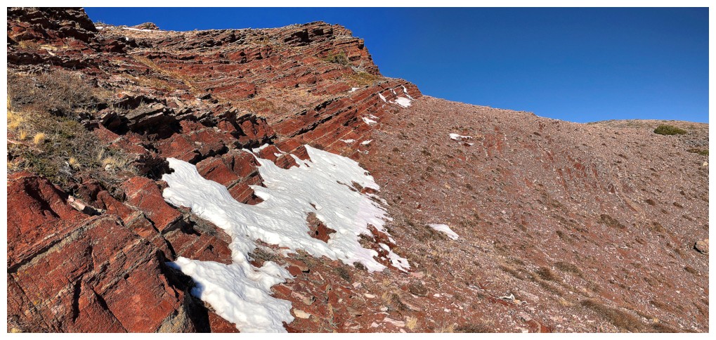
Some of the rock seen while detouring to see the frozen waterfall
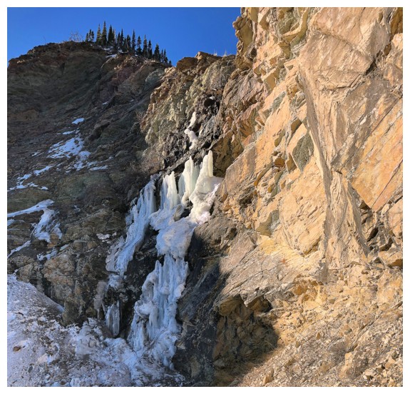
The fall
Great to be back here, although earlier in the day when the Sun shines on all of it is better
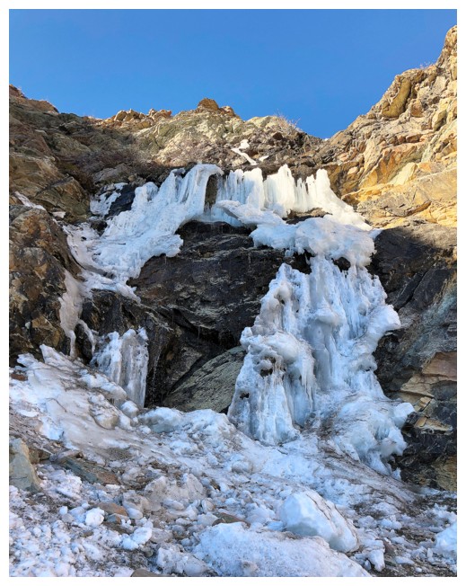
Huge chunk of the ice had fallen
Regrettably leaving. I also decided to follow the drainage back to the road, which was, likewise, a regrettable choice!
Last look at The Muffin
The Eaglet, The Raptor, and Mount Roche
The End
LOG