Livingstone South II
and Poker Peak II
May 2, 2020
Solo scramble.
Livingstone South II
Mountain height: 2300 m
Elevation gain: 1000 m
Round-trip time: 5:20
Recalling a most memorable experience on Livingstone
South with Scott Comeau a few years ago, I needed little reason to repeat
this trip. Unfortunately, I would be deprived of Scott’s awesome company, but it
also appeared I would also be deprived of the insane winds and relatively
cloudy skies we experienced.
 Thankfully, a couple of weeks of warm weather had eaten the copious
amounts of snow present in the area - two weeks earlier I had tried to access
this route and couldn’t get anywhere near the start because of 40 cm of fresh
snow on the road. With less snow, the trailhead was easily accessed and a repeat “crawling on
hands and knees” approach would be avoided! Gun-shy from that day and from a recent
attempt of Victoria Peak’s north ridge, however, I did drag my snowshoes up and
down the mountain with me.
Thankfully, a couple of weeks of warm weather had eaten the copious
amounts of snow present in the area - two weeks earlier I had tried to access
this route and couldn’t get anywhere near the start because of 40 cm of fresh
snow on the road. With less snow, the trailhead was easily accessed and a repeat “crawling on
hands and knees” approach would be avoided! Gun-shy from that day and from a recent
attempt of Victoria Peak’s north ridge, however, I did drag my snowshoes up and
down the mountain with me.
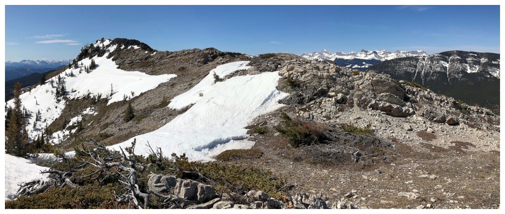
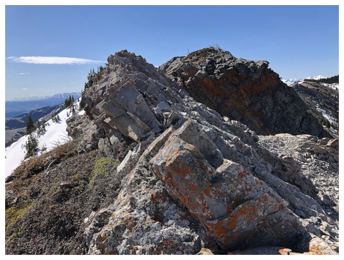
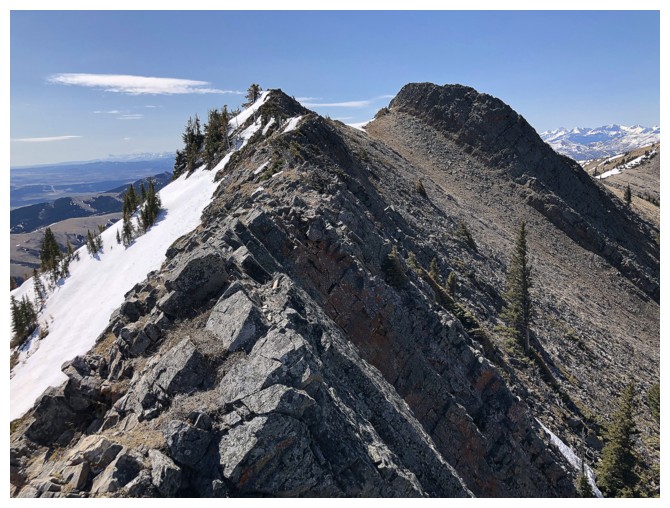
The trip went without a hitch and was as enjoyable as the first time.
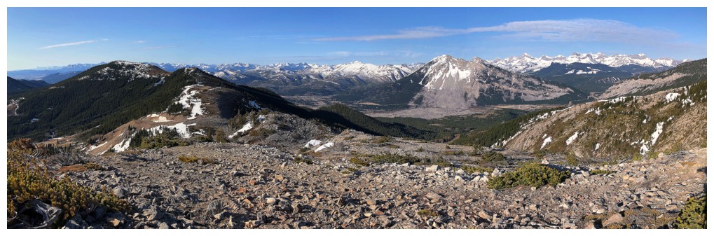
Without the vicious wind, I was able to explore a little and take in some of
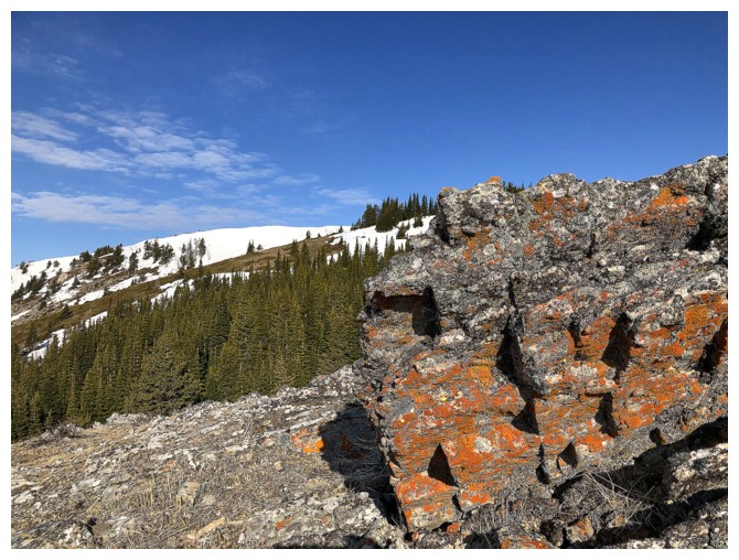
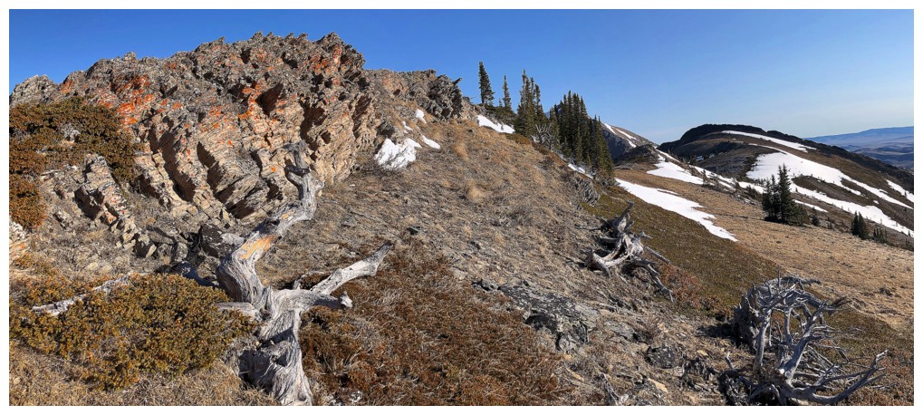
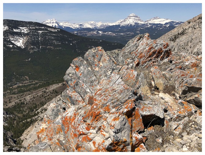
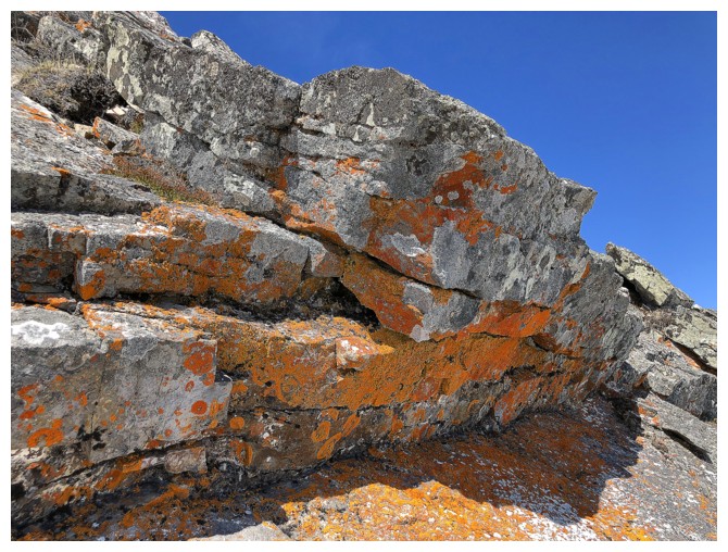
the route's amazing features. Although the variety of rock on Livingstone is
hardly competition for that I saw on Prairie Bluff XI,
14 hours earlier, sections of bright orange, lichen-covered rock were plenty to
render the trip a surprisingly colourful one.
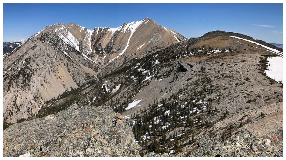
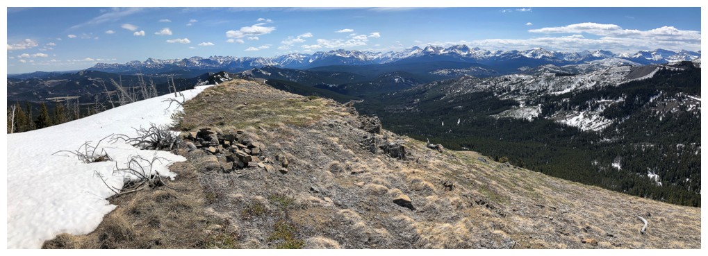
 I also forgot what a delightful ridge separates the first highpoint from
the summit. Varied terrain, a little route-finding, options for easy routes or
harder ones, and stellar views throughout make this one of the finer
ridgewalks in the area.
I also forgot what a delightful ridge separates the first highpoint from
the summit. Varied terrain, a little route-finding, options for easy routes or
harder ones, and stellar views throughout make this one of the finer
ridgewalks in the area.
Once at the lowpoint before the summit, I did make the minor mistake of
ditching my backpack while I ran to the top. In addition to great views of
Centre Peak to the north, and Turtle Mountain to the south, the short ridge
west over to Morin Peak looked particularly inviting. Unfortunately, crampons
and an ice axe would be the minimum technical gear required to make an attempt
and they were far below in my backpack. I did make a somewhat feeble effort to
try the traverse, but the rock-hard snow turned me around almost immediately.
At least that error gave me time for an unhurried descent. With the Sun
in a slightly more favorable position, some of the terrific scenery was even
better.
Couldn’t have asked for a better return to this sweet mountain.
Poker Peak II
Mountain height: 1936 m
Elevation gain: 210 m
Round-trip time: 2:20
 With time still on my side and the weather holding up better than
forecast, I decided to take a quick run up Hastings Ridge. The Ridge had far
exceeded my exceptions on a previous visit a few years earlier, but that trip was
completed under gloomy skies. I had always wondered what the scenery and views
would be like with good weather.
With time still on my side and the weather holding up better than
forecast, I decided to take a quick run up Hastings Ridge. The Ridge had far
exceeded my exceptions on a previous visit a few years earlier, but that trip was
completed under gloomy skies. I had always wondered what the scenery and views
would be like with good weather.
To my surprise, (and probably also to the drivers of a couple of other
cars parked along the Adanac Road), the upper reaches of the road were still
under a solid metre of snow and I was forced to pull over before reaching the
parking area. However, the distance to the parking area was less than a kilometre and so,
with snowshoes on feet, off I went. Reaching the parking area, the game plan
changed. 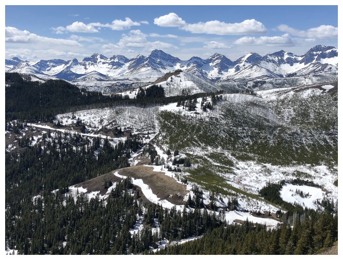 The deep snow was getting soft and it was clear the route to Hastings
would be snow all the way. Even with snowshoes, travel wouldn’t be easy and I
was not going on a full tank.
The deep snow was getting soft and it was clear the route to Hastings
would be snow all the way. Even with snowshoes, travel wouldn’t be easy and I
was not going on a full tank.
As luck would have it, however, I was standing only 210 vertical metres
and 600 horizontal metres from the summit of Poker Peak. The west facing route
appeared to be relatively snow free and therefore a second ascent of Poker Peak
seemed to be a wiser choice.
Like Livingstone, the ascent was as enjoyable as my first time on Poker
Peak, again with better views because of the better weather. After traversing
north to another highpoint, I decided to take an alternate descent route more
directly down to the road. It generally worked very well, with only a few short
sections of major post-holing and little bushwhacking.
Approaching my car, I was surprised to see two hikers coming down the
road I had snowshoed up – even more so to discovered the hikers were Raff K. and
Dave Salahub. They had just finished ascents of Poker Peak, Maverick Hill, and
Clubs Peak. It was a pleasure to run into them and share our respective ascent
stories.
Great conclusion to a great day.
Livingstone South II
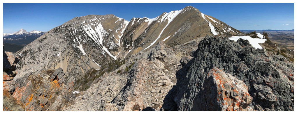
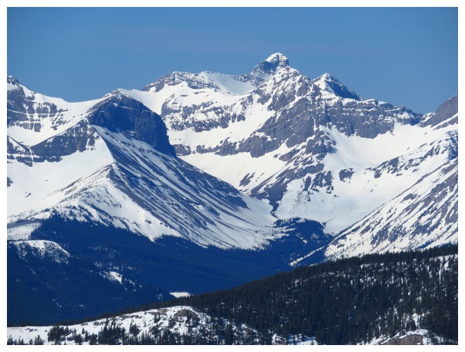
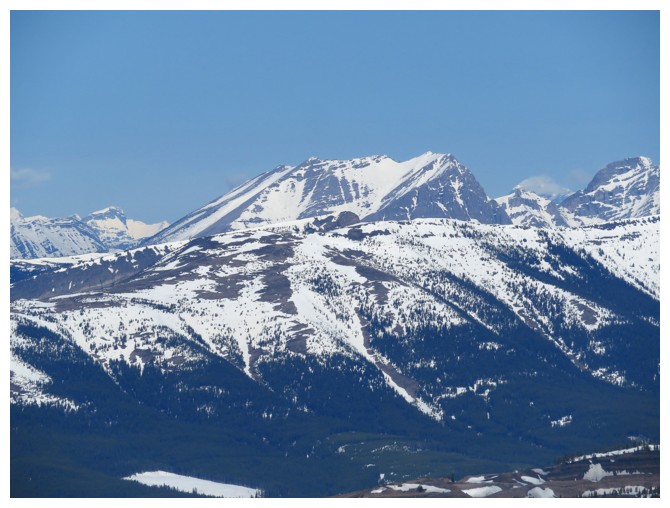
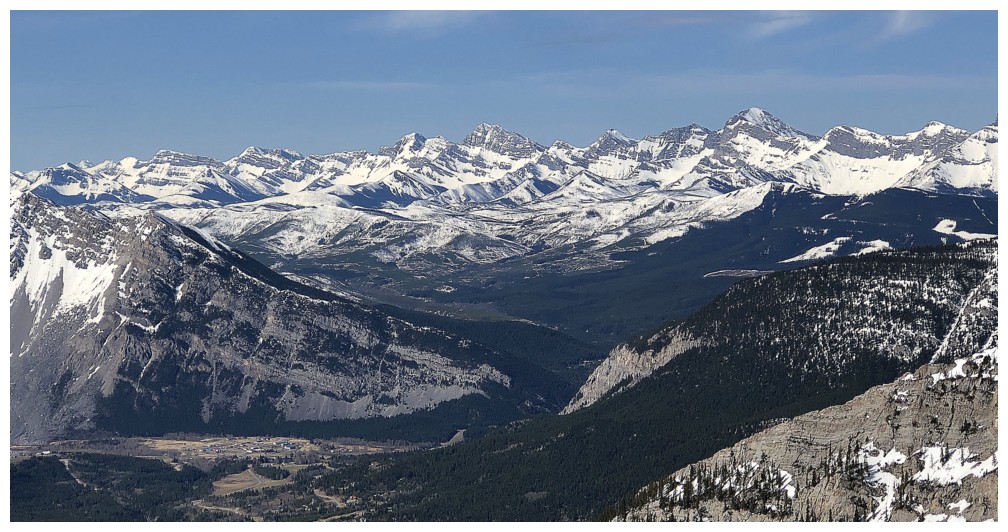
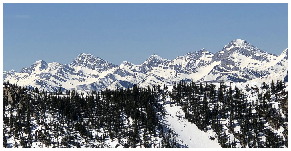
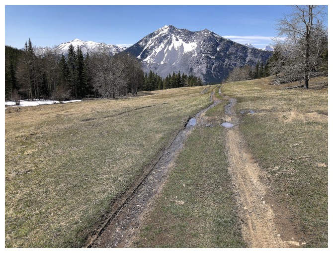
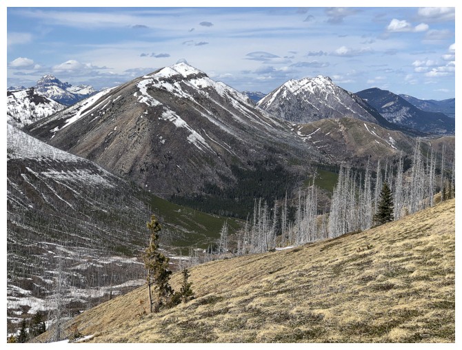
Great views of Turtle Mountain, almost from beginning to end
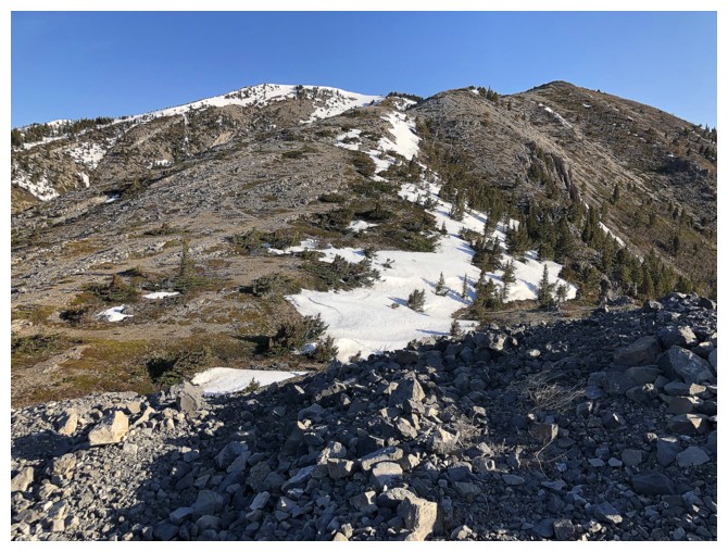
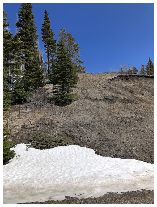
Near the col, where you turn left to head up Livingstone South
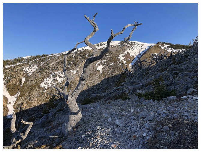
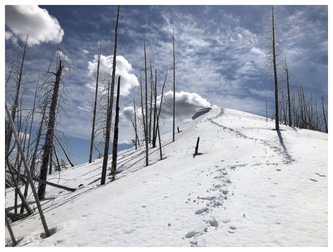
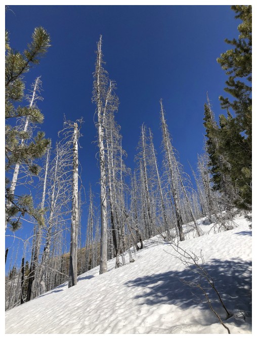
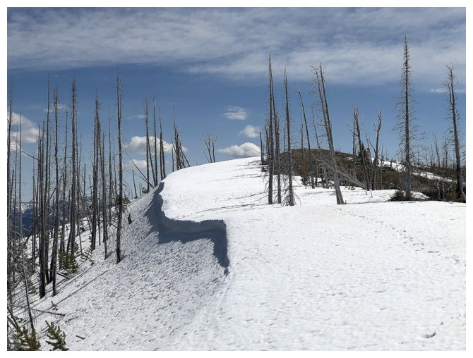
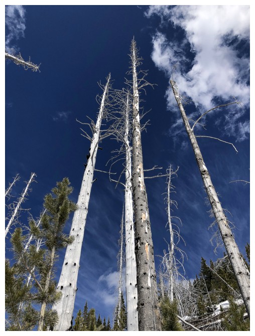
No shortage of captivating, twisted, dead tees in Crowsnest
 \
\
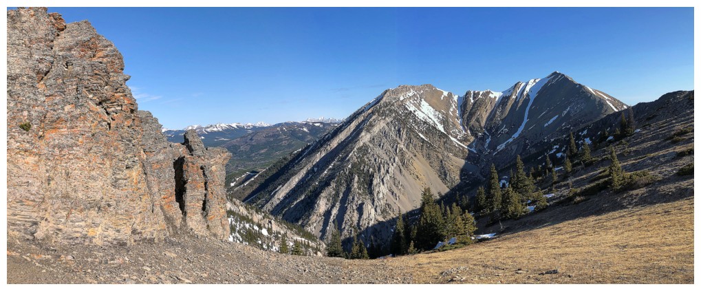
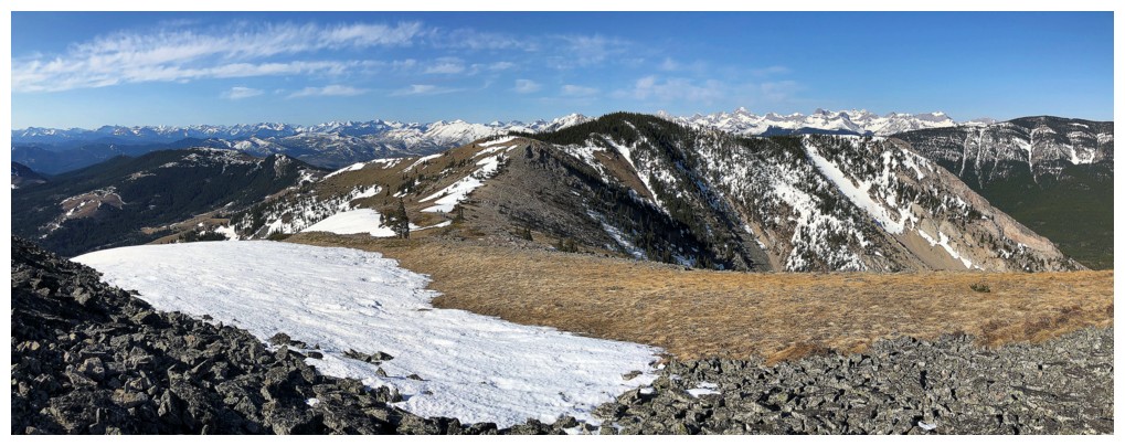
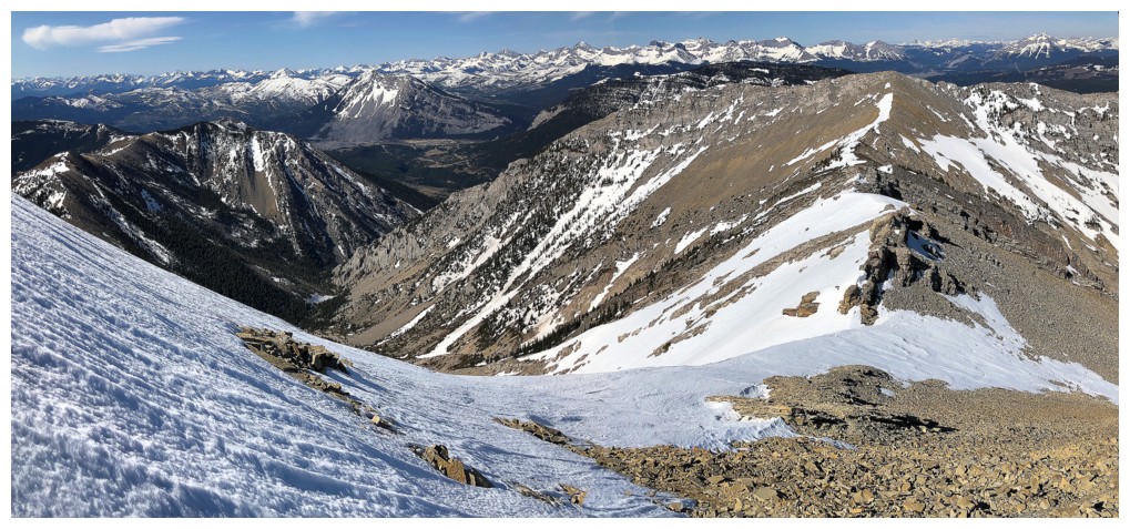
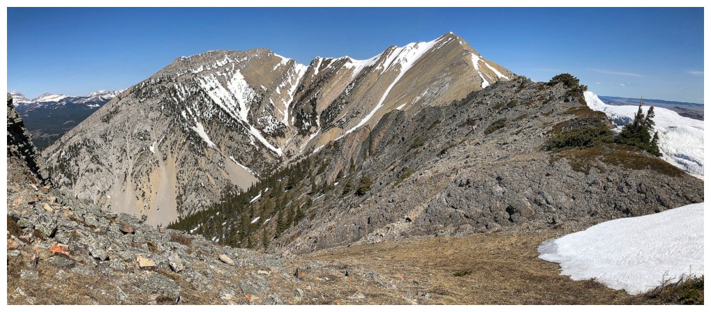
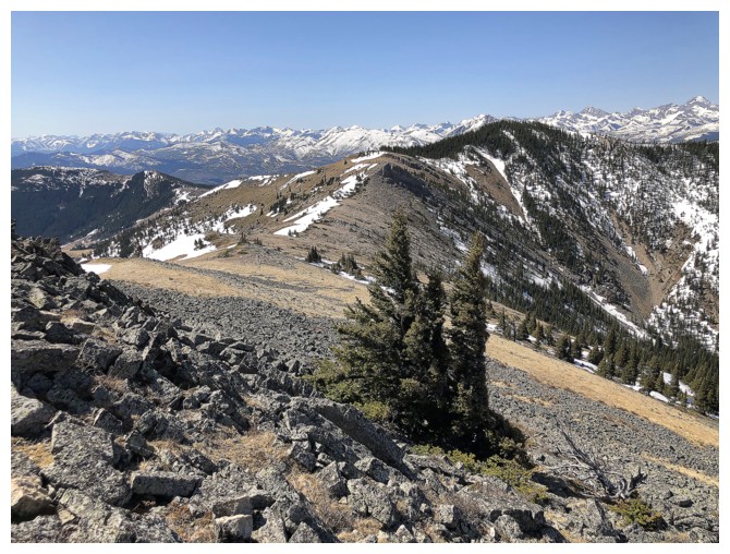
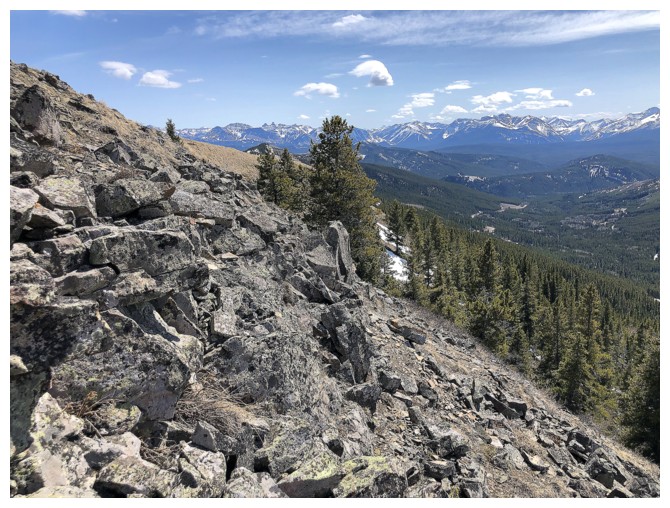
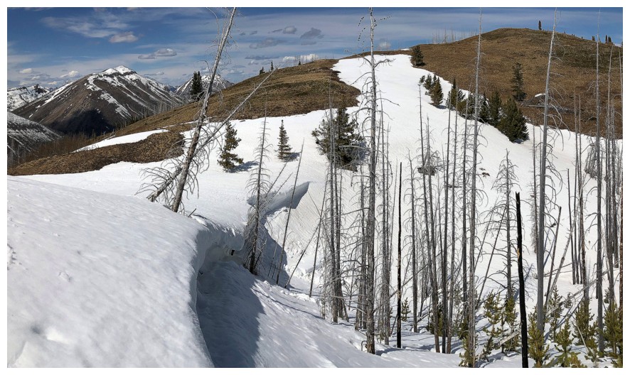
Views to the southwest are really starting to open up
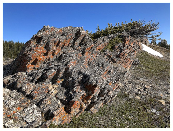
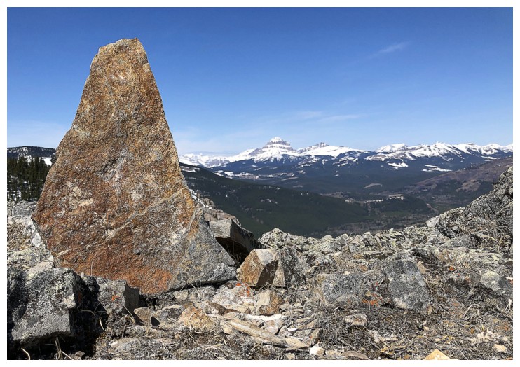
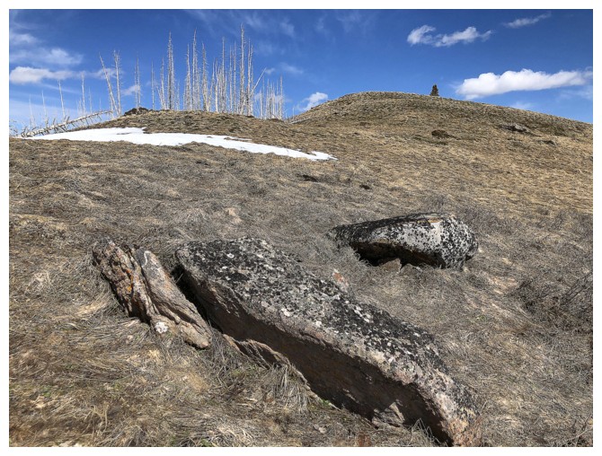
Start of several sections of lichen-covered rock
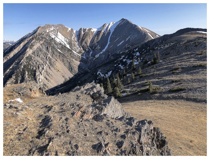
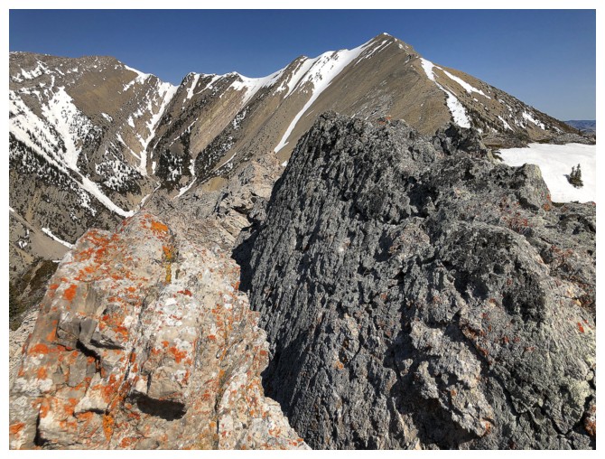
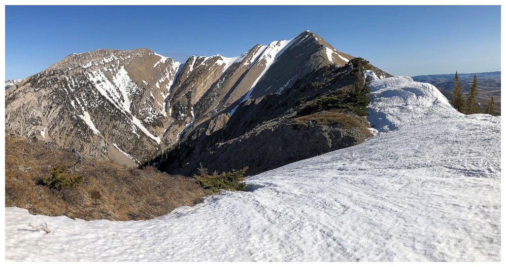
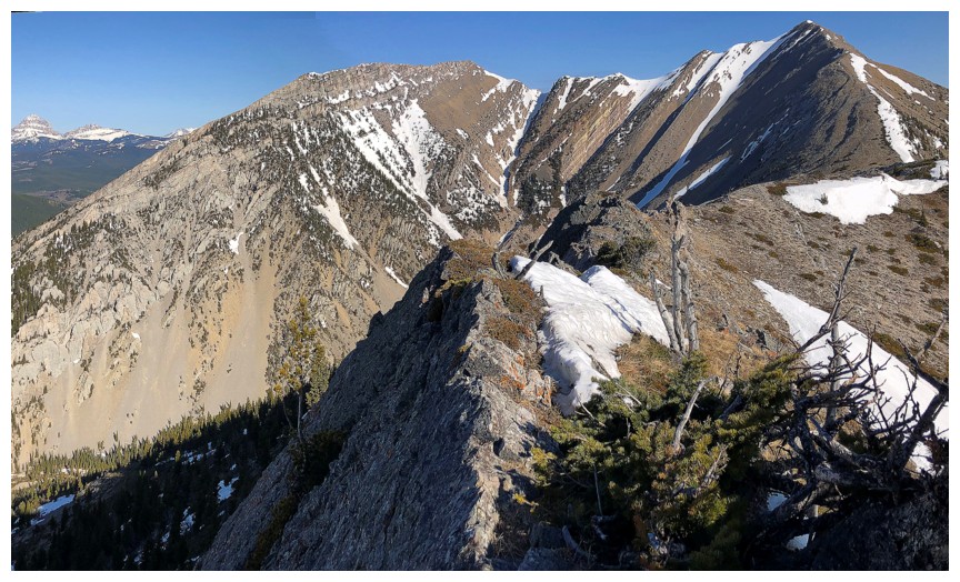
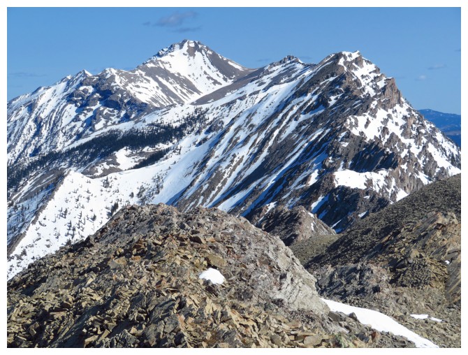
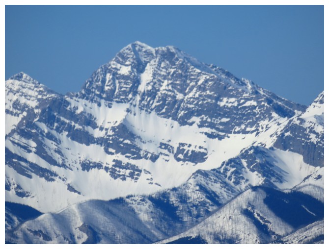
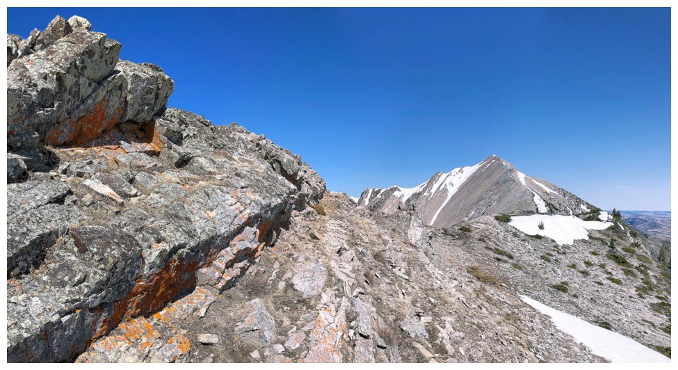
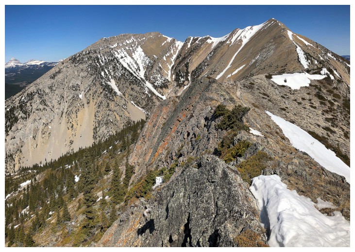
The objective (right) and Morin Peak (left)
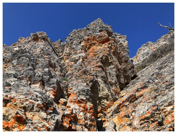
Liking the lichen!
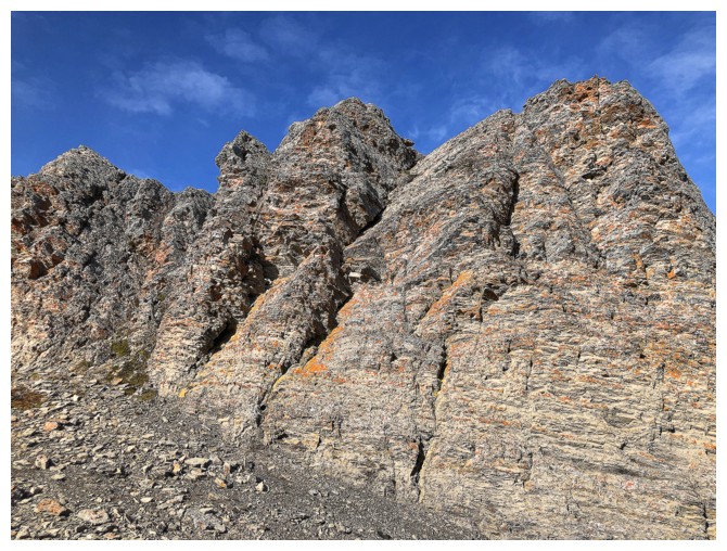
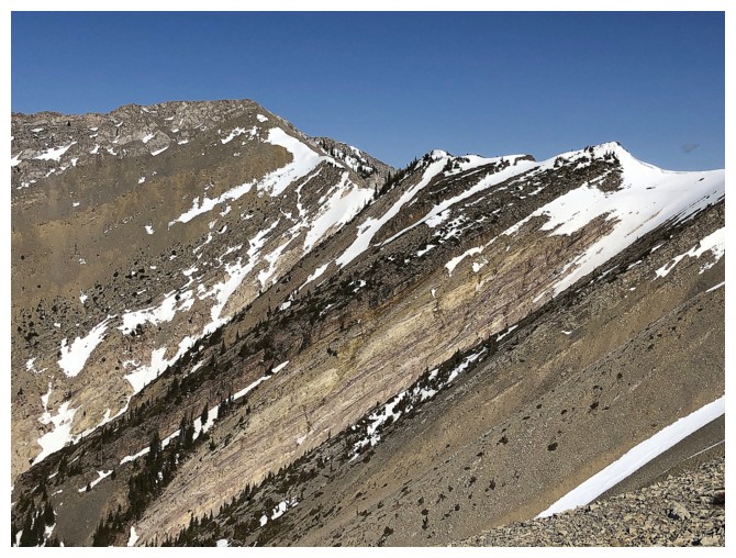
Looking back to the colourful rock band
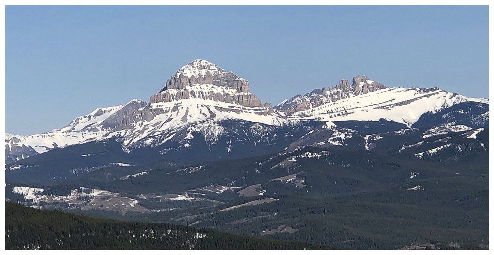
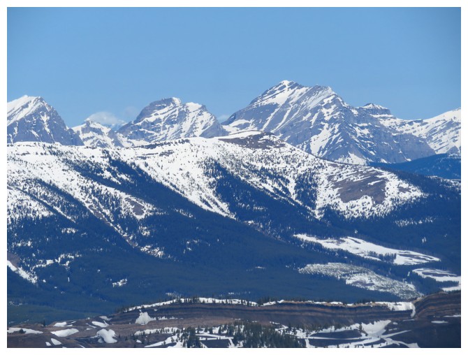
Two of the Crowsnest area's feature landmarks: Crowsnest Mountain and The Seven Sisters
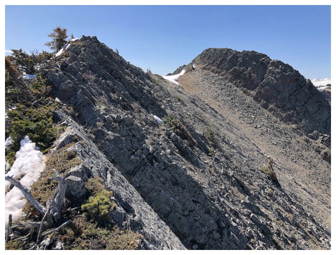
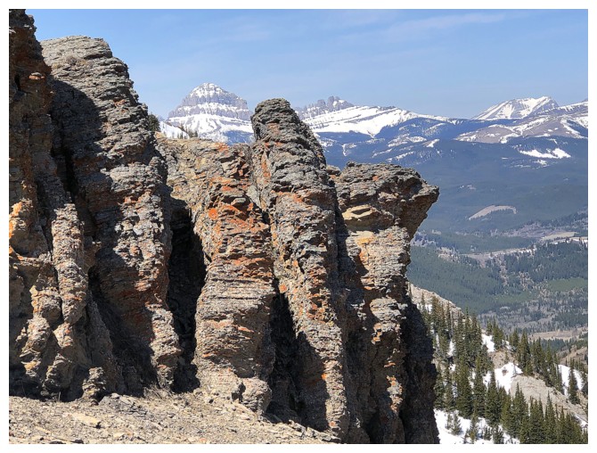
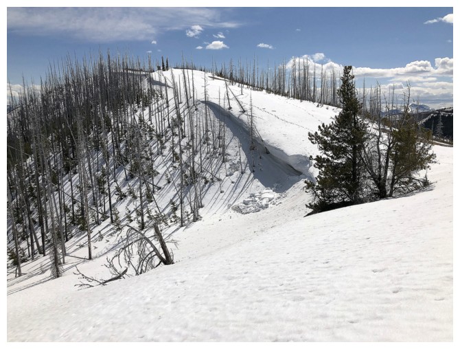
Looking back at another rock band that had to be descended (easy on the left side)
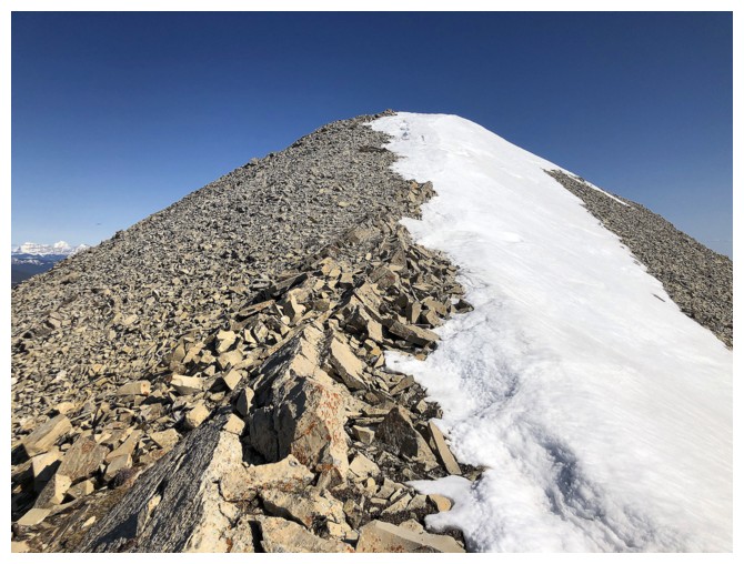
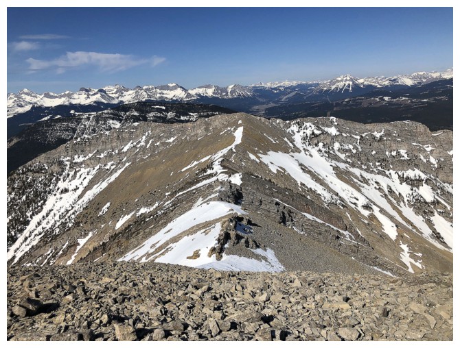
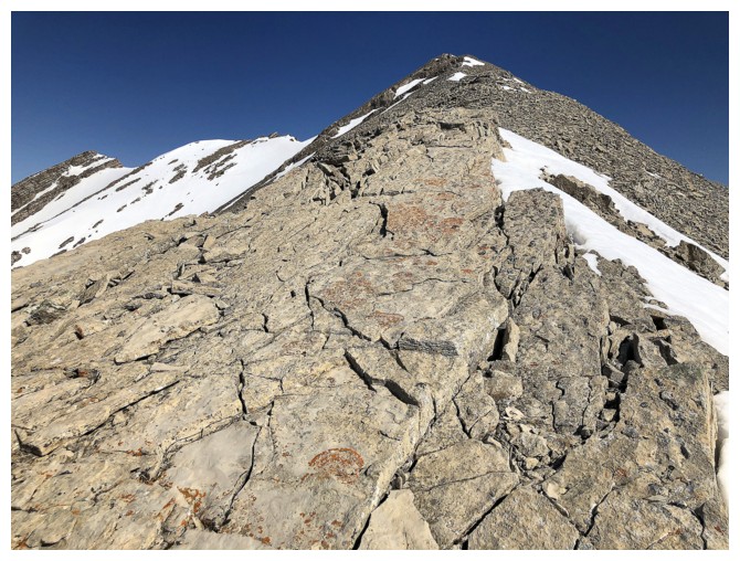
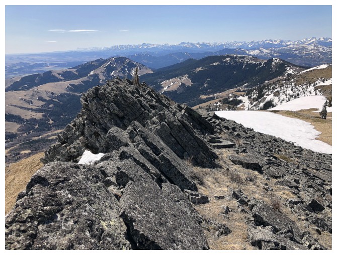
The next section of the ridge is probably the most interesting part
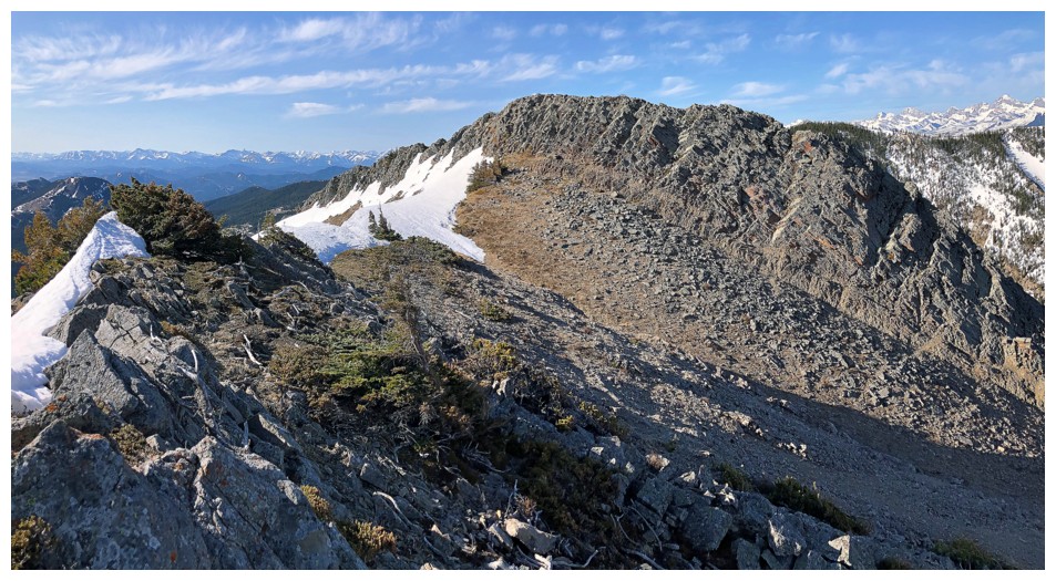
Looking back again (there was lots of that!)
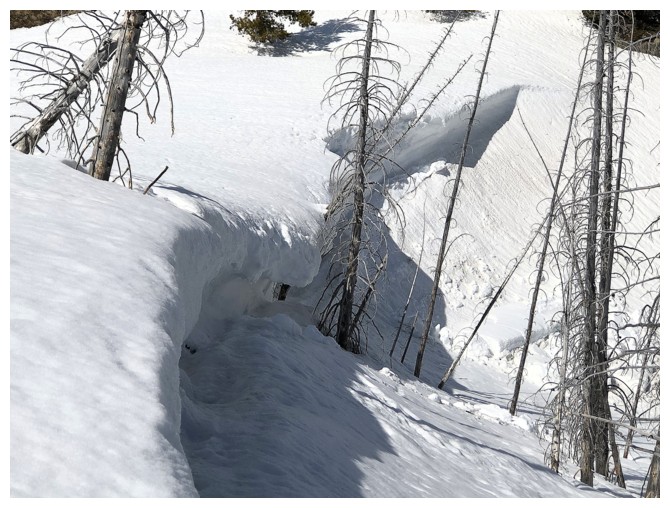
Although hard to see, there are a couple of exposed steps along the way.
The traverse to Morin Peak (left)
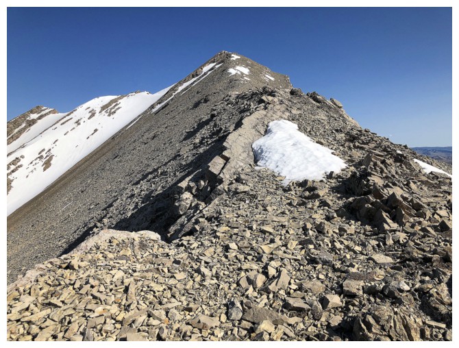
Bit of a scree slog to the summit from here, but the views are terrific
Almost there
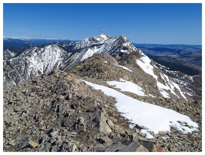
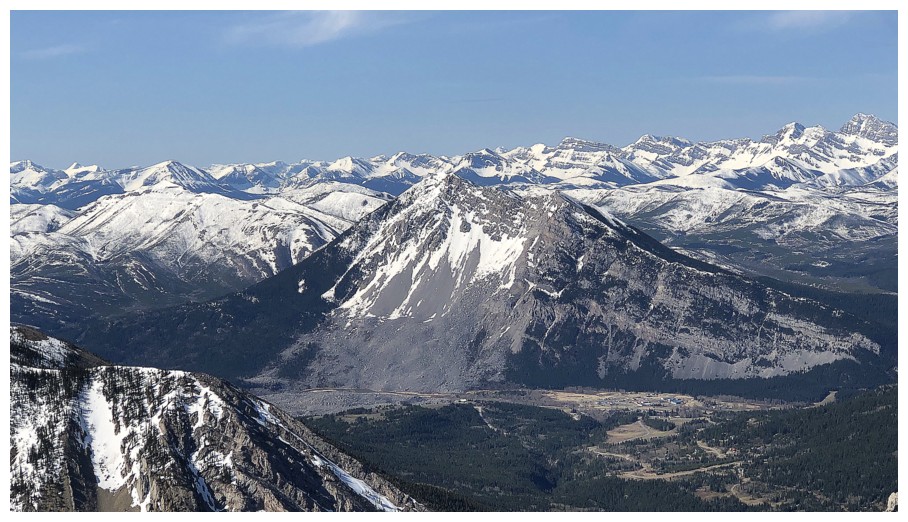
Summit view to the north features Cauldron Peak and Centre Peak
Close-up of the two. Centre Peak is the higher one.
Tornado Mountain (right) and Gould Dome
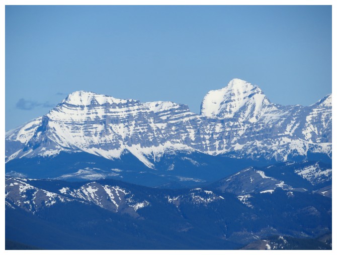
King of the Flathead: Mount Ptolemy
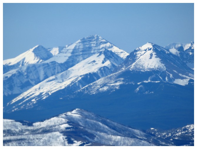
Almost King of the Castle: Mount Haig (Jake Smith Peak rules that area)
Mount Darrah: not the King of the Flathead but definitely the scariest mountain of the range!
Crowsnest Mountain
Racehorse Peak
Unnamed outliers north of Racehorse
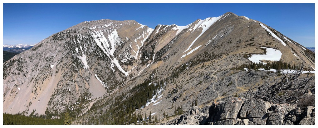
The traverse to Morin Peak
Turtle and the Flathead Range behind
More of the Flathead
Heading back up to the summit of Livingstone after a very short excursion towards Morin
Some nice, slabby rock on the south ridge
Looking back to Livingstone and Morin and quite a few animal trails in the scree
A few elevations gains on return
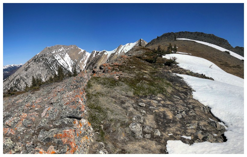
Back at the interesting section of the ridge
The ridge here a little more exposed than it looks, although only for a few steps
Suckered in again by the orange lichen
Darrah, Pengelly, McGladrey, and the unnamed peak at the far right that is higher than all the others
Decided to check out the other side of the ridge at this point
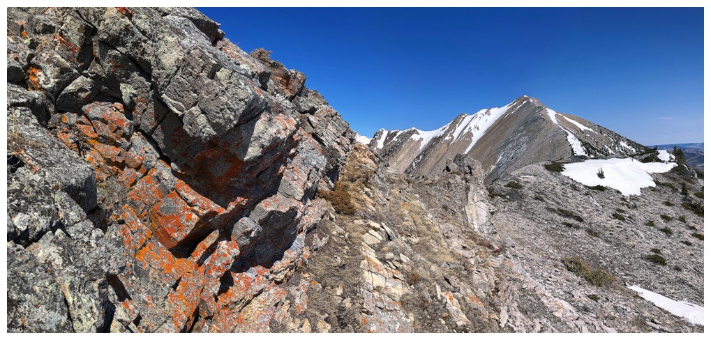
Why? Because of the orange lichen and cool rock.
Back on the ridge
So difficult to resist this view!
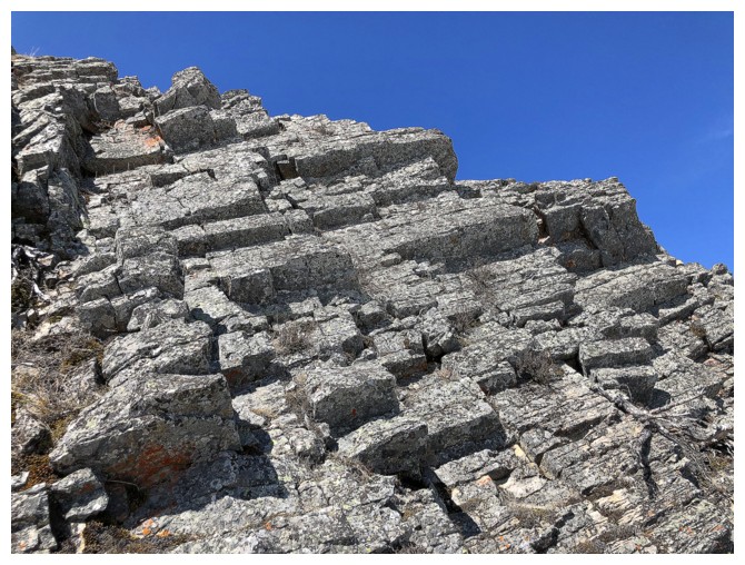
Love the geometry of the rock too
Still lots of beautiful ridge to walk
Another quick diversion to check out another interesting section of uplifted rock
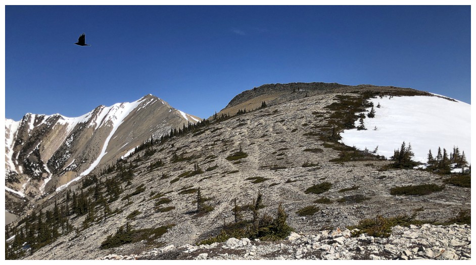
The birds love this ridge too

Back near the col
Last of the colourful rock
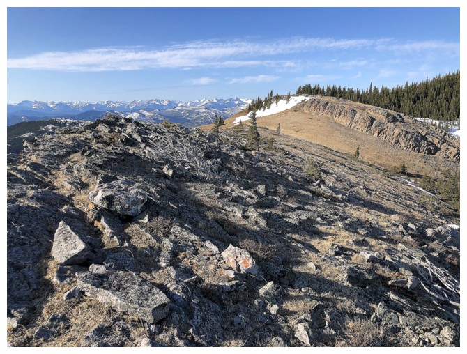
Easy and super pleasant hike back to the start
Poker Peak II
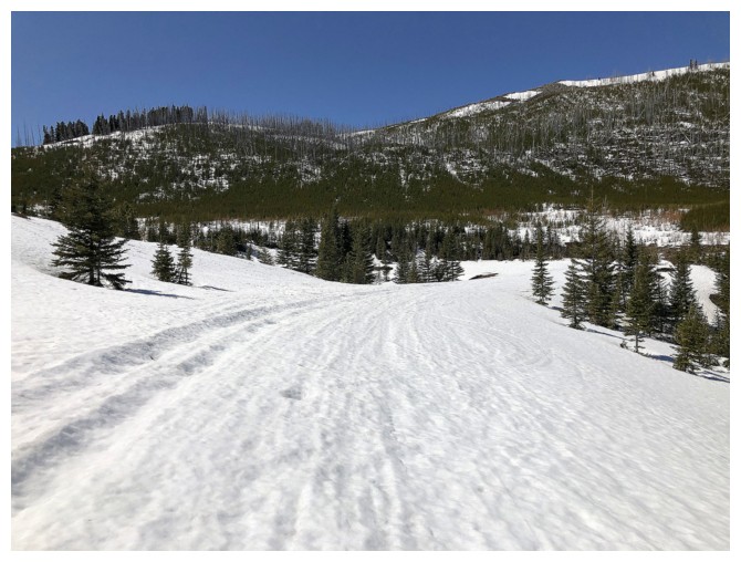
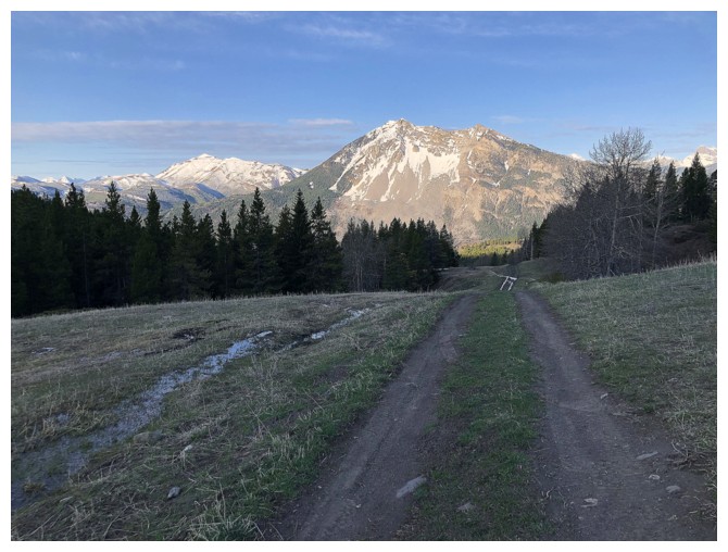
Snowshoeing up to the trailhead
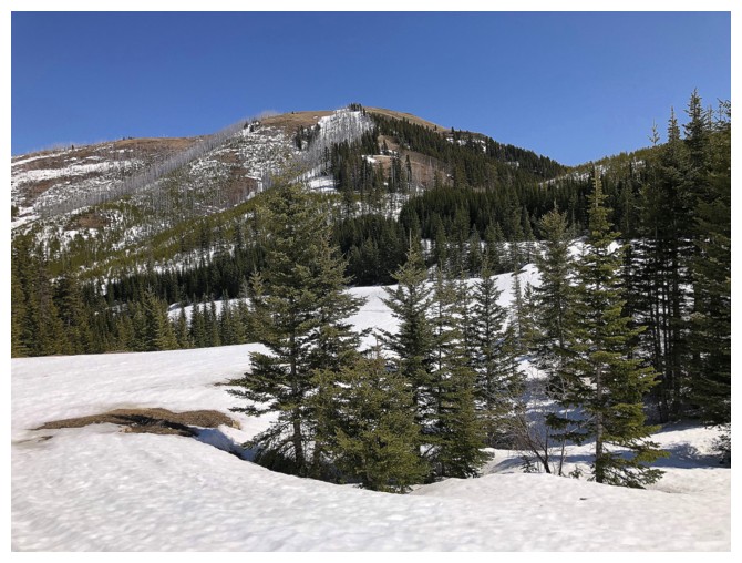
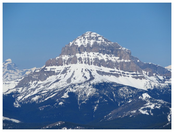
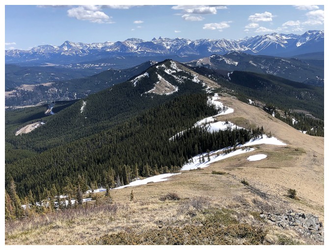
Poker Peak
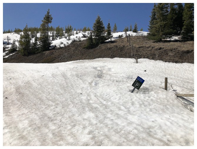
Still a huge amount of snow at the Clubs Peak trailhead
The route up Poker Peak is essentially snow-free
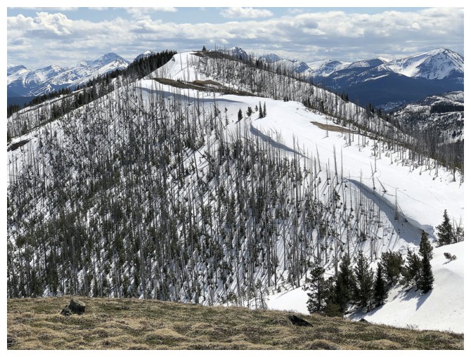
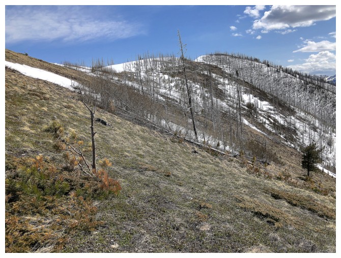
Perhaps one of the more interesting features of the trip is the burned, dead trees slowly giving way to new growth
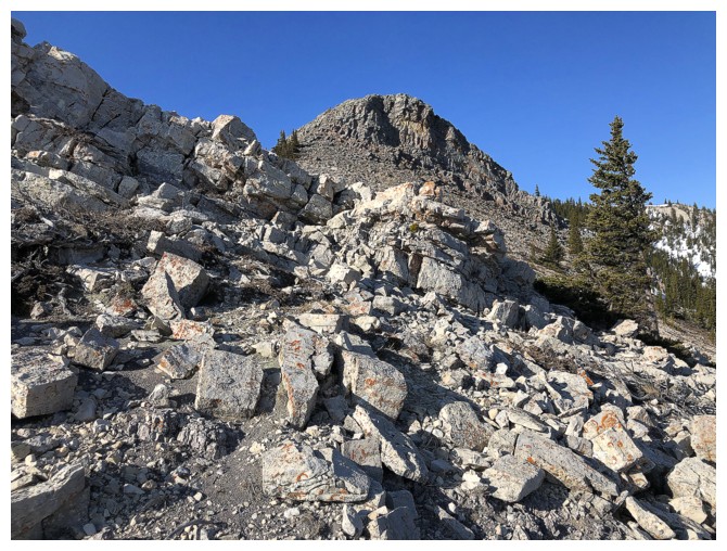
One section of bouldery terrain, but otherwise, just steep, grassy slopes to the top
Summit view to the south
Hillcrest Mountain and Turtle Mountain to the north
A few of my Castle favourites: Prairie Bluff, Victoria Peak, and Mount Gladstone
It's an easy hike to Maverick Hill from here, but I didn't have the energy
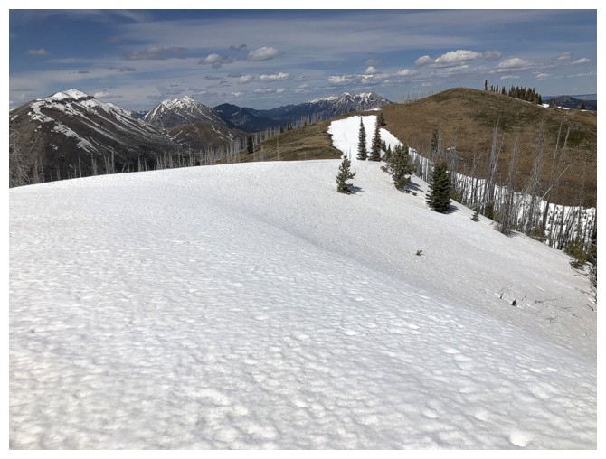
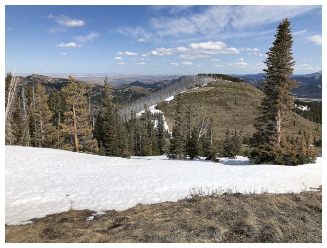
Great views of the Flathead Range to the west
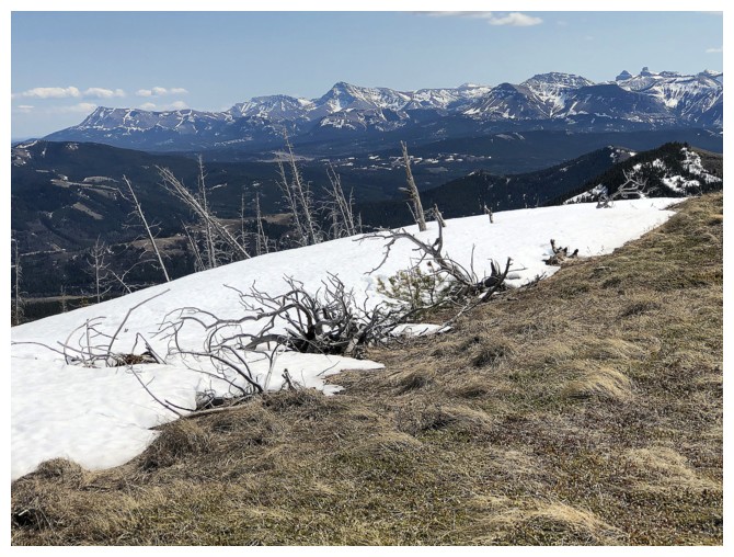
Some snow scenery that will soon be gone
Close-up
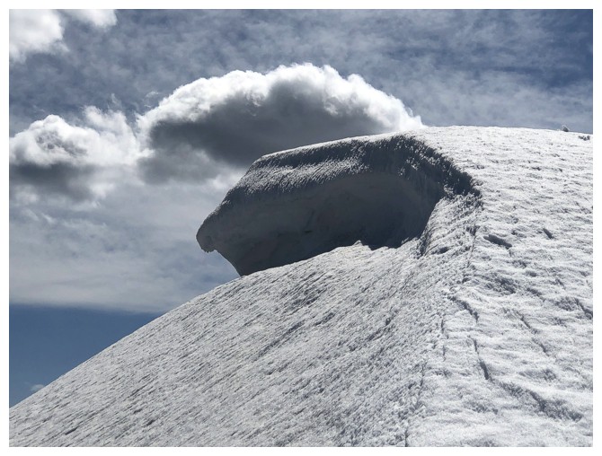
You'd swear I'd been drinking!
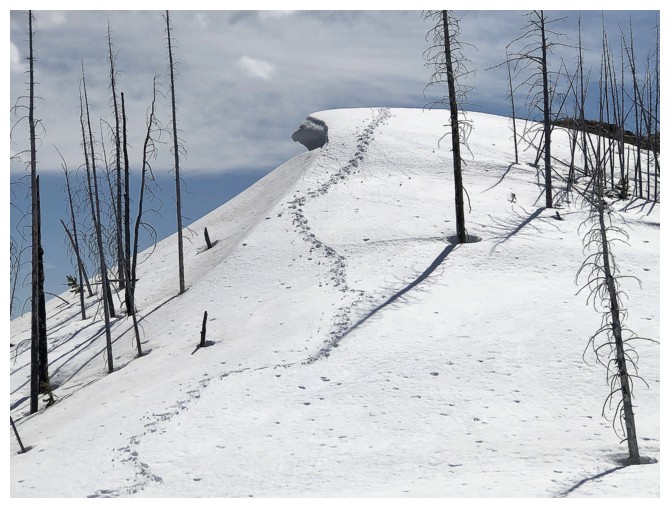
Looking back to the summit
Looking forward to the next highpoint
I already miss winter and it hasn't even ended!
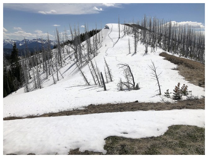
Approaching the highpoint
The true summit and pleasant traverse over to the north highpoint
I was tempted to visit the next highpoint to the east, but again lacked the energy
Heading down an alternate descent route
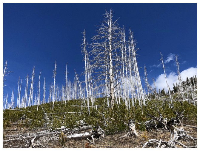
Lots of really tall, dead trees on the way down
Here comes the new growth among the dead
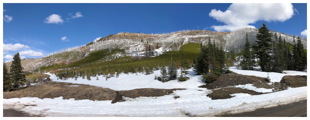
Looking back at Poker Peak (summit at far right, descent route just left of centre). Note the new growth.
The End
LOG