"Olympic Summit"
(and a little beyond)
October 24, 2021
Mountain height: approximately 2500 m
Elevation gain: approximately
1200 m
Round-trip time: 6:10
Solo hike/scramble.
Definitely the surprise trip of 2021. With a
time restriction for the day, I simply wanted to get out and enjoy some
exercise. In the past, Mount Allan had provided just that and excellent scenery
to boot. I knew I couldn’t get up and down Allan in 6 hours but even making it
to unofficial “Olympic Summit” would still get the old heart pumping - come to
think of it, just climbing the stairs in my house from the main level to the
upper level gets my heart pumping these days, so that point is moot!

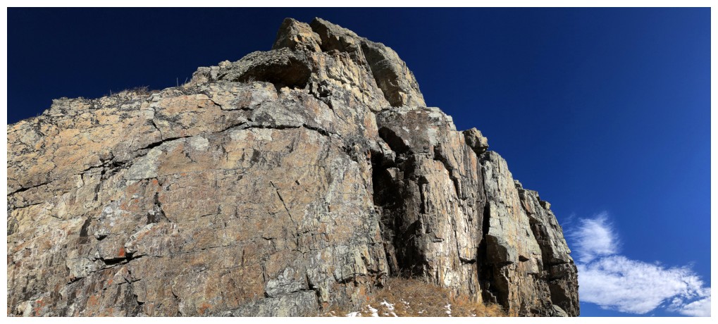
The surprise came when I reached the
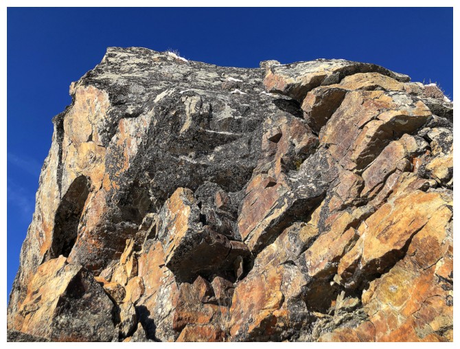
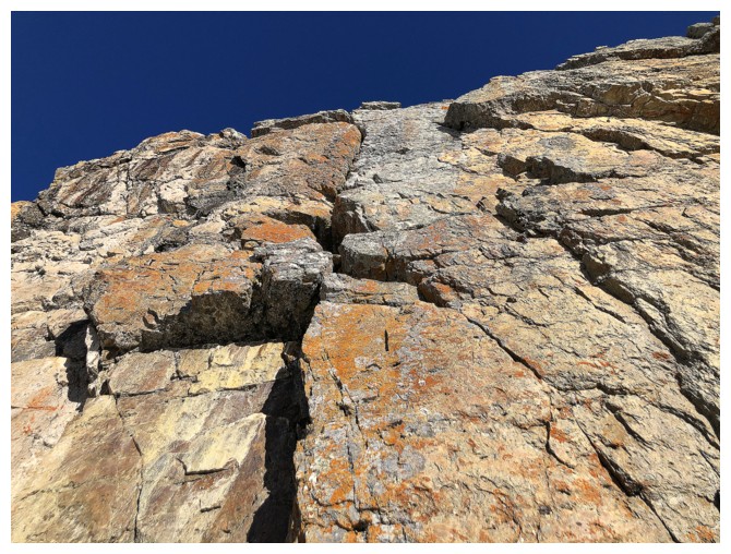
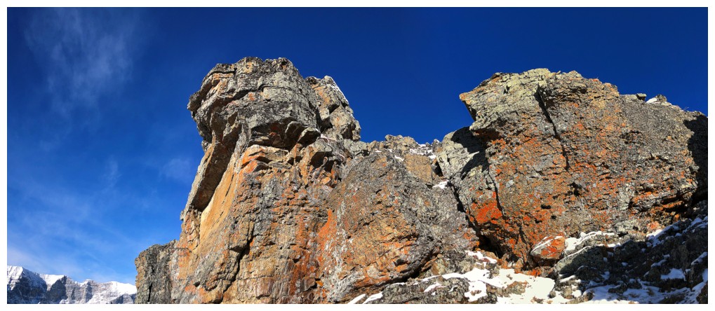
prominent rock band just below Olympic Summit. The trail goes neatly around the
right side of the rock and up towards the summit. However, I decided to quickly
check out the left side – not to find a route up, but because of some seemingly
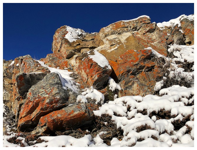
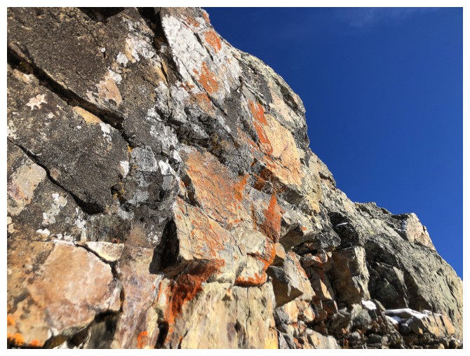
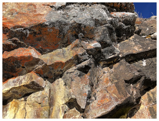
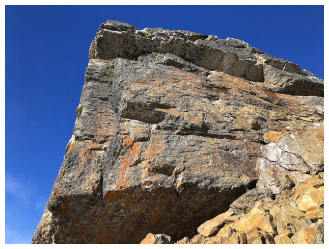
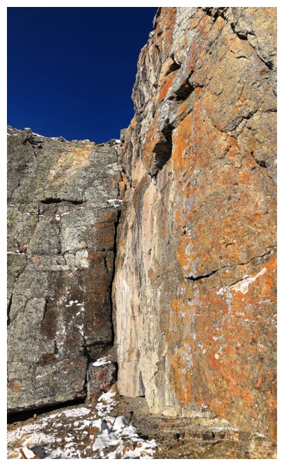
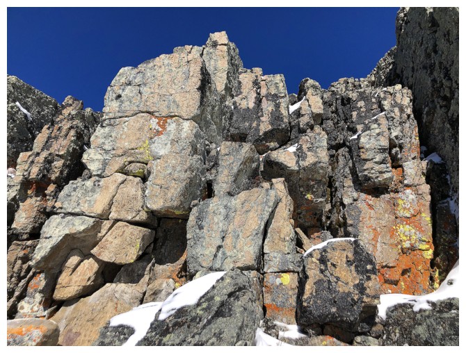
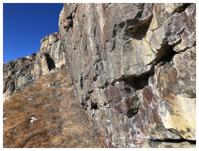
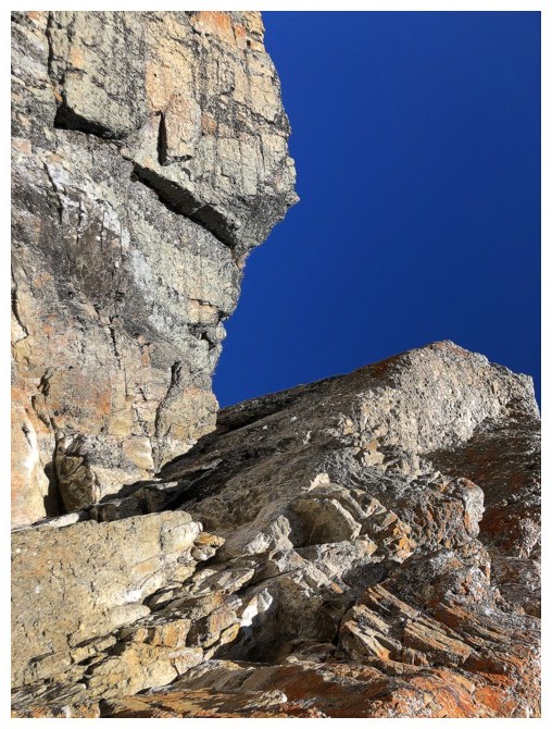
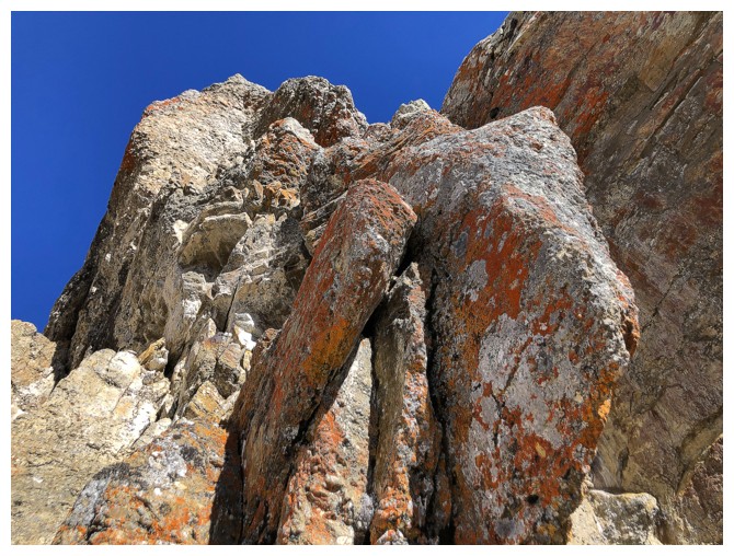
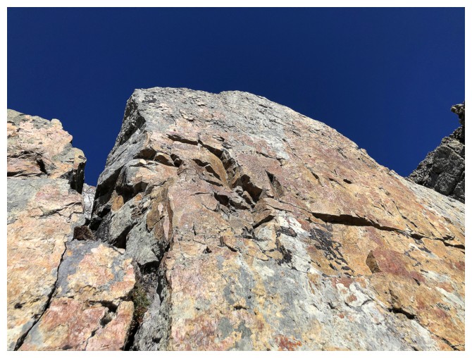
colourful rock in that direction. I can only say, “Wow!!” – a word I usually
reserve to describe the rock in southern Alberta and Glacier National Park,
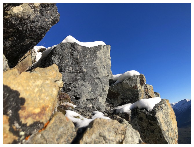
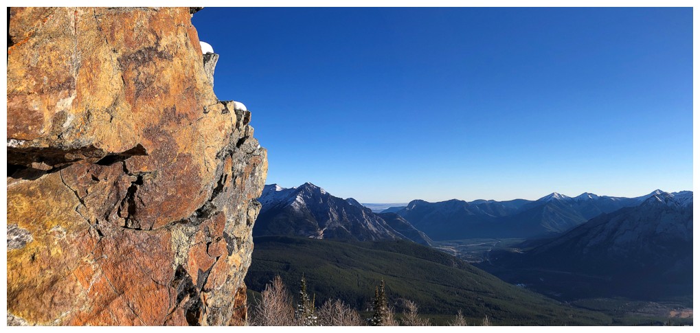
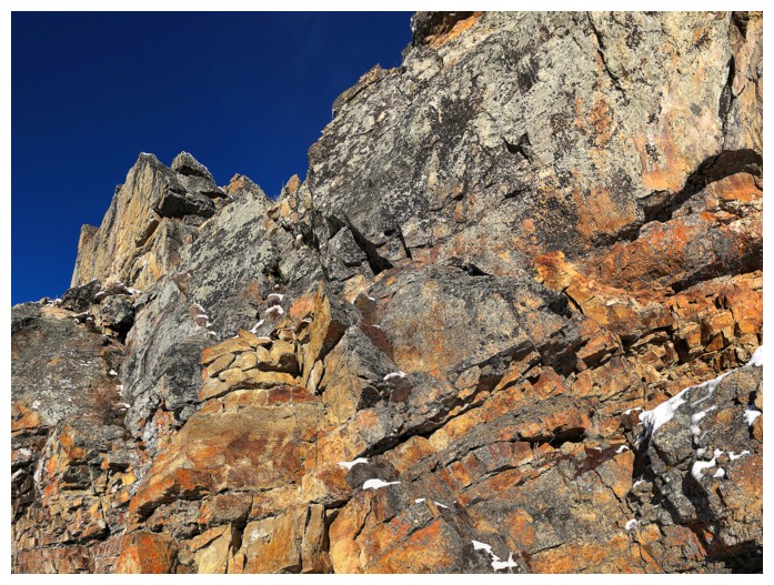
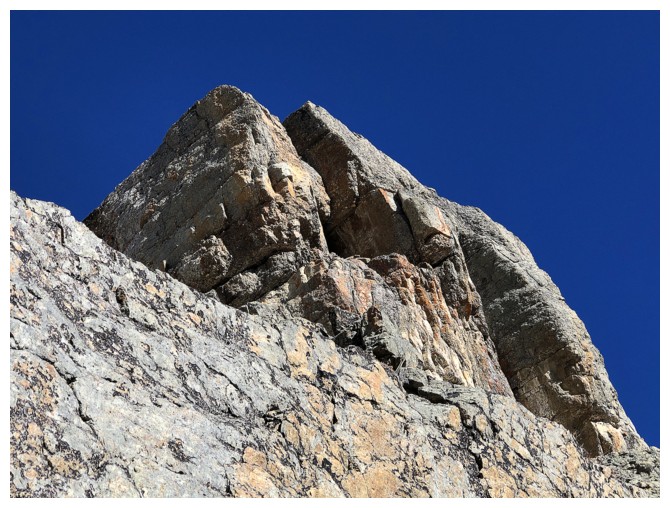
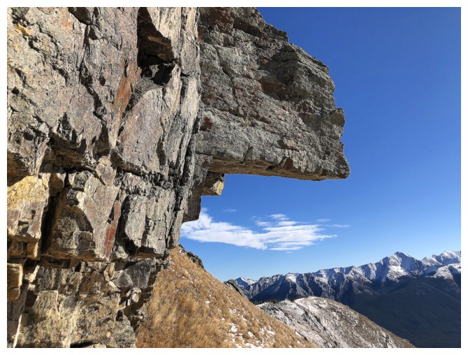
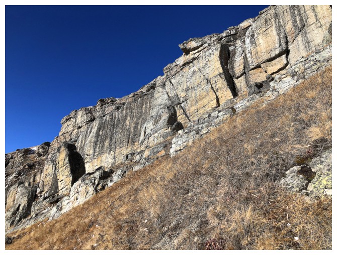
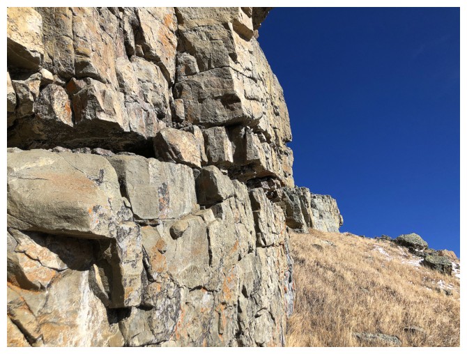
Montana. The rock band on Allan was every bit a northern Alberta equal – a
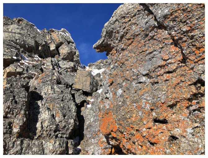
terrific variety of rock colours, rock types, and lots to lichen to boot!
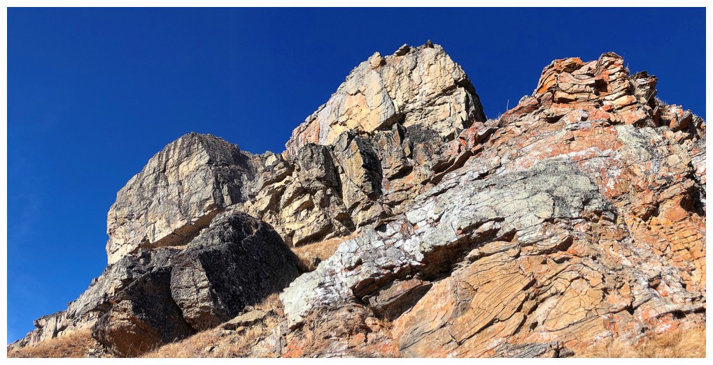
Still wanting to, at minimum, achieve the
summit of Olympic Summit, I cut the detour short, hoping that I would have time
on return to take a longer look. I was surprised, upon reaching Olympic, to
discover that a very fast hiking pace would probably get me to the summit of
Allan and down within my time restriction. However, that rock band was under my
skin and it was calling louder than Allan’s summit (which I seen on three
previous occasions anyway).
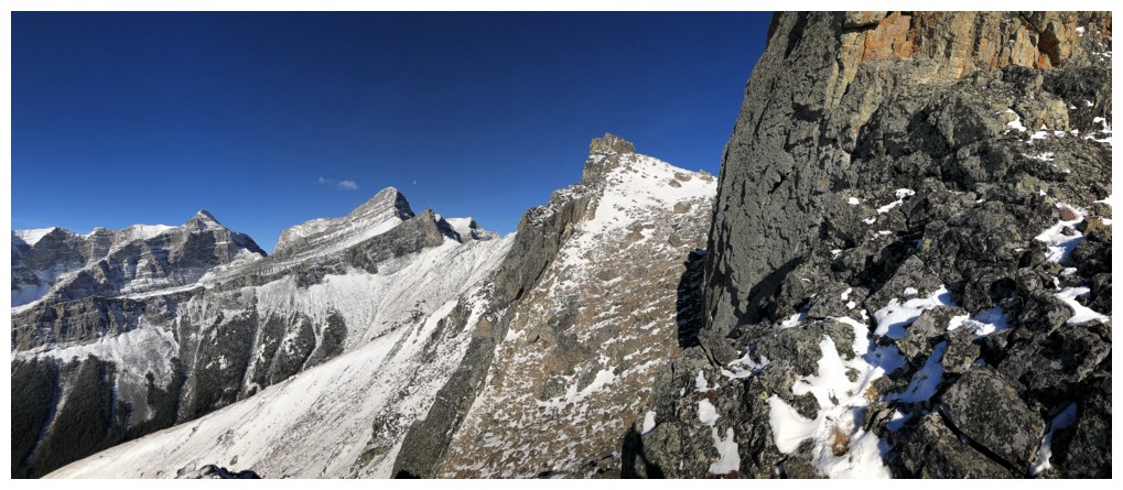
But first, a little exploration along the
ridge between Olympic and Allan. This yielded more wonderful mountains scenes –
the view of Wind Mountain is one of the most striking in all of Kananaskis –
and in keeping with the exploratory nature of the day, I took an alternate
return route on the south side of the ridge.
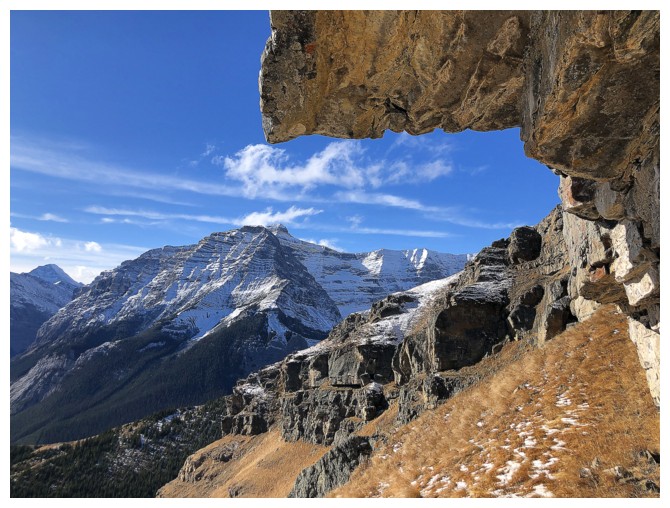
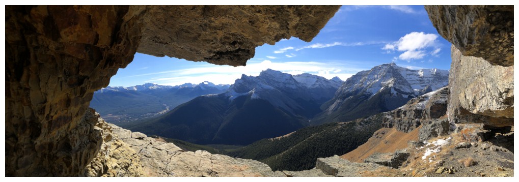
Round 2 of “The Rock Band” was simply
stupendous! Granted, I often get more excited about rock than the typical
mountain traveler, but this area is really something special. How I missed it
the other three times I ascended Allan is a mystery!
Eventually I had to tear myself away and
enjoyed the typically fast descent of the Centennial Trail – easily one of the
best trails in Kananaskis Country.
A remarkable day of exploration and new experiences
on a familiar objective.
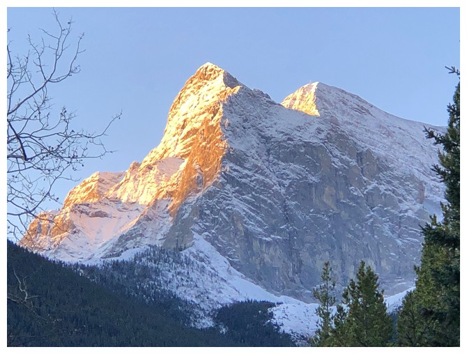
The morning Sun hits the imposing northeast face of Mount Kidd
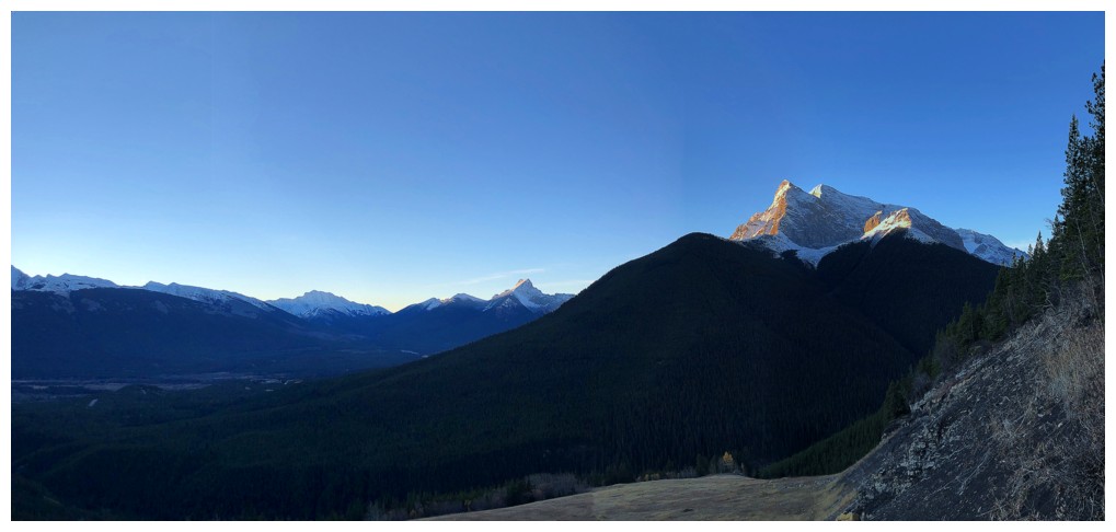
Bigger view of the Coal Mine Trail area. The Wedge is in the distant center.
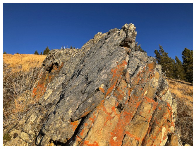
Just a tiny taste of the remarkable colours to come
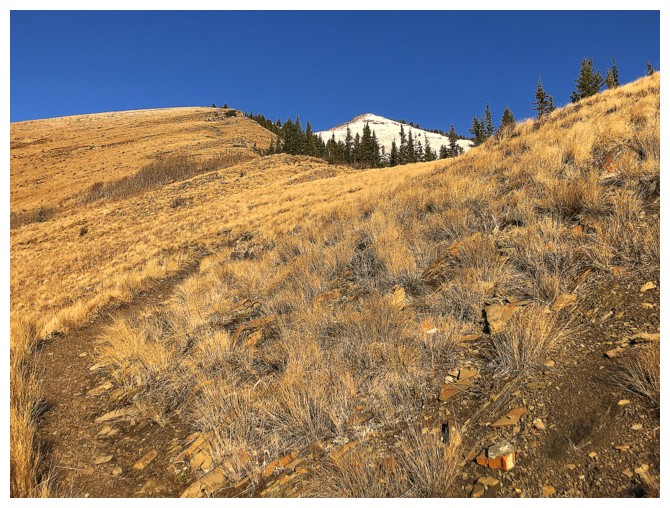
Easy and rewarding travel up the fantastic Centennial Ridge Trail
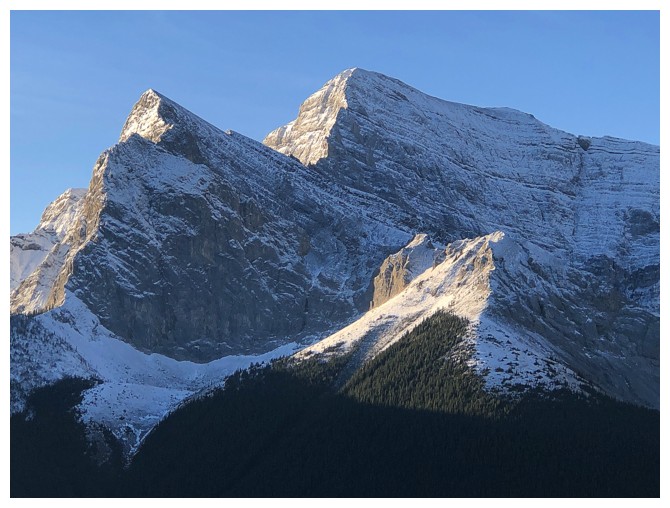
Kidd again
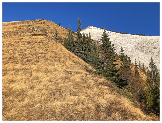
One snowy slope and one clear one
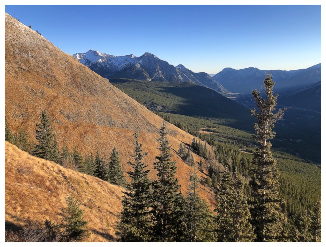
Looking northeast to some old favourites: Skogan, Lorette, and Baldy
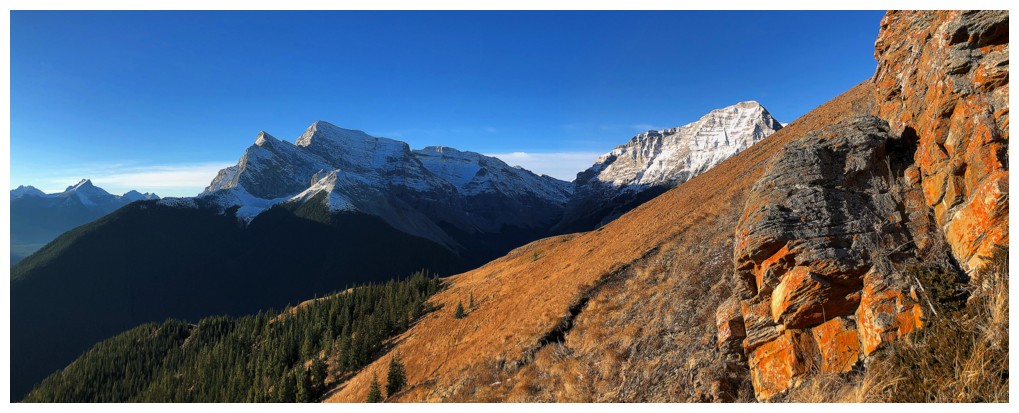
Ribbon Peak makes an appearance, right of Mount Kidd
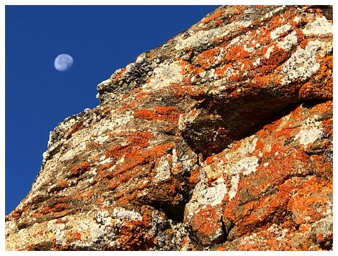
Not quite as eye-catching as Prairie Bluff XI, but still cool

A light layer of fresh snow is always welcome for scenic purposes
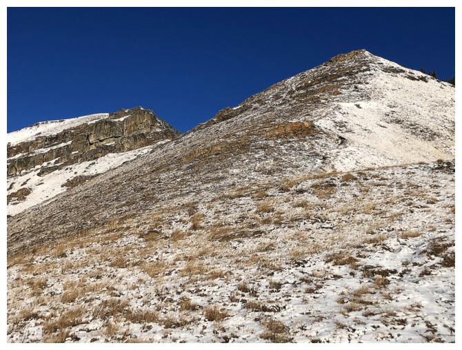
The first high point at the right and "The Rock Band" at the left
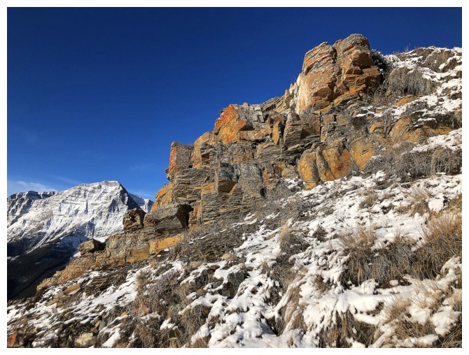
There is some beautiful lichen-covered rock en route to "The Rock Band"
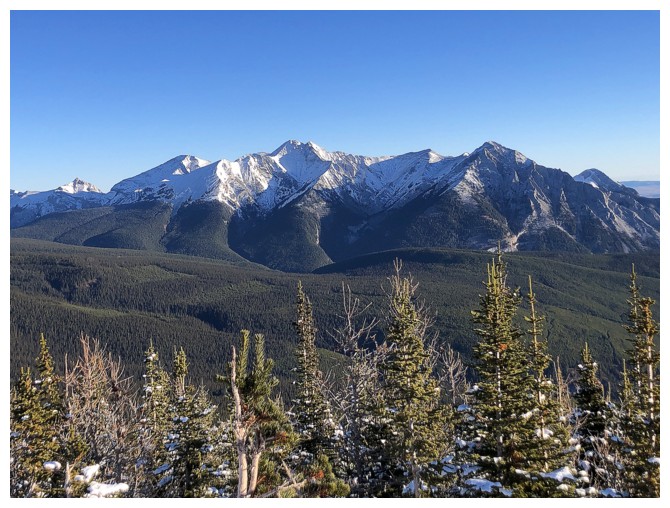
The McGillivray/Skogan/Lorette massif
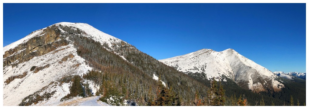
Mount Collembola at the right
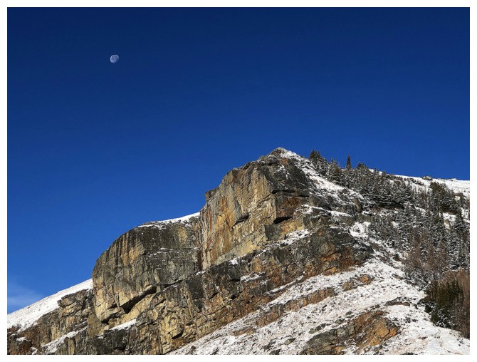
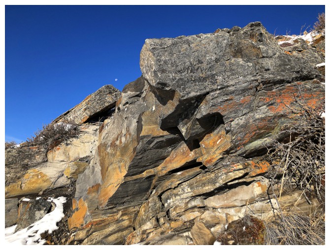
A faint Moon remained in the sky for much of the trip
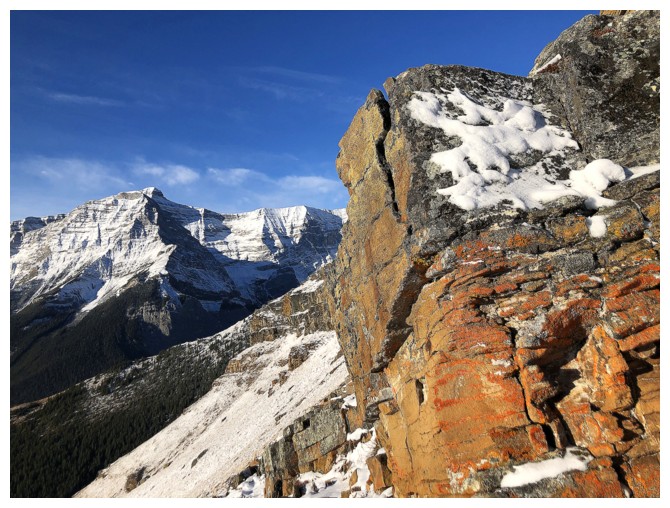
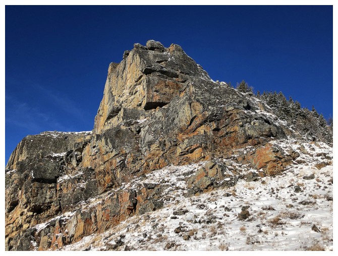
At the base of The Rock Band
Round 1 of The Rock Band exploration
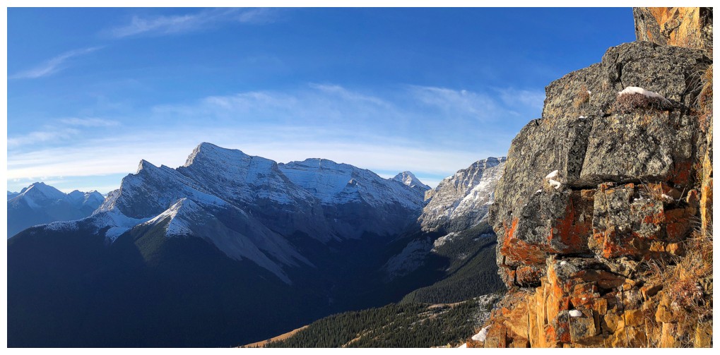
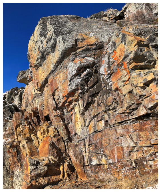
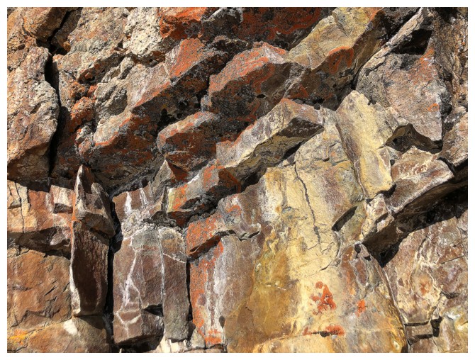
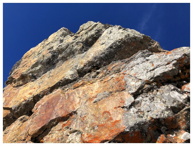
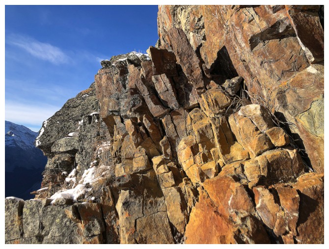
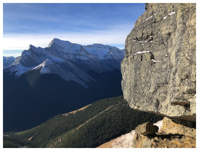
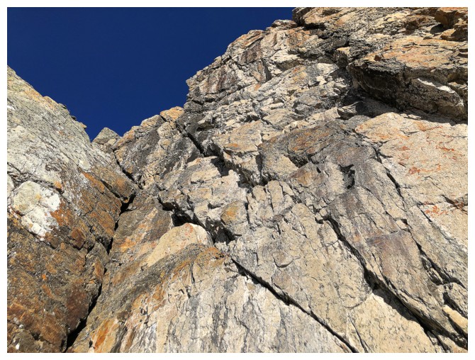
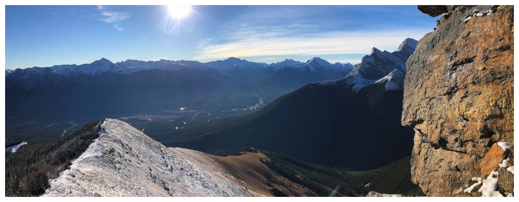
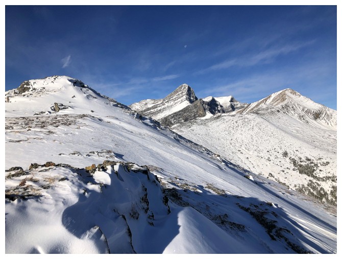
Above The Rock Band and continuing up to Olympic Summit
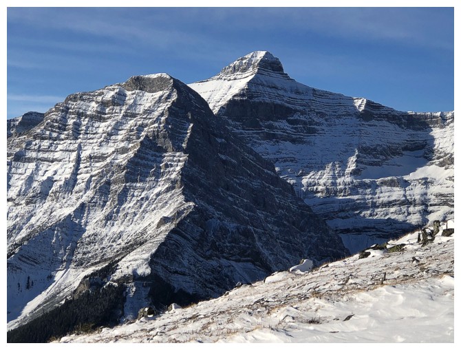
Ribbon Peak (left) and Mount Bogart

Olympic Summit
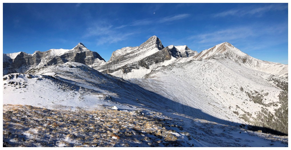
The view to the west includes Mount Sparrowhawk (left), Wind Mountain (centre), and Mount Allan (right)
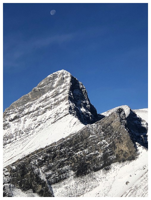
Wind Mountain is so striking from this direction - it gets tons of photo attention!
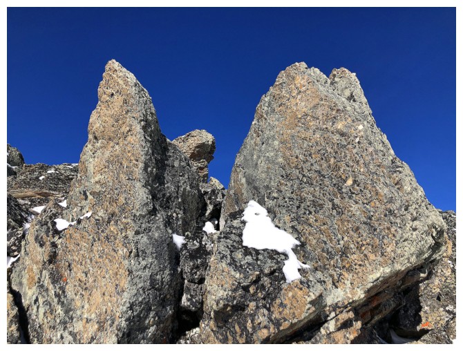
Lots of cool rock along the ridge between Olympic and Allan
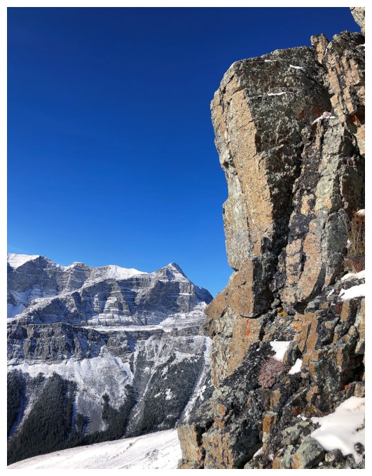
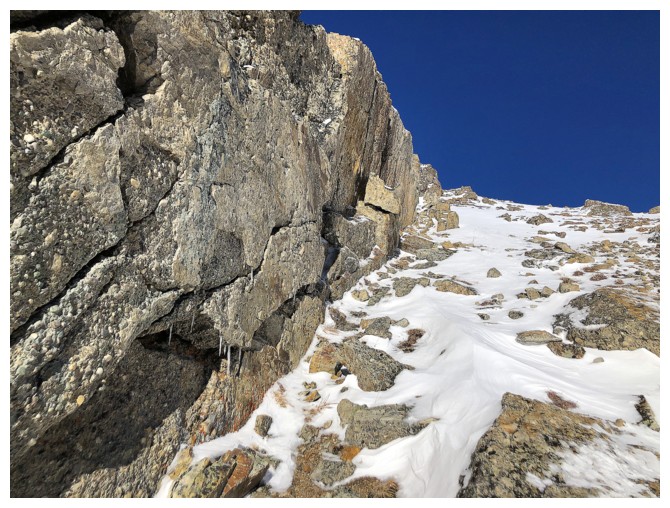
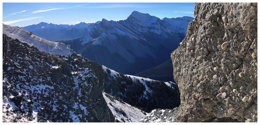
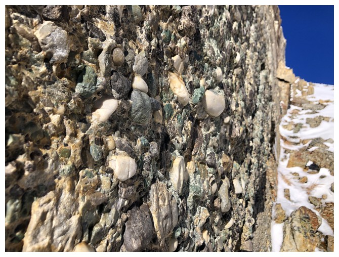
Conglomerate rock
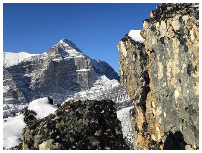
Sparrowhawk looks really cool too
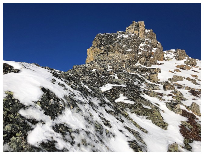
Still heading towards Allan
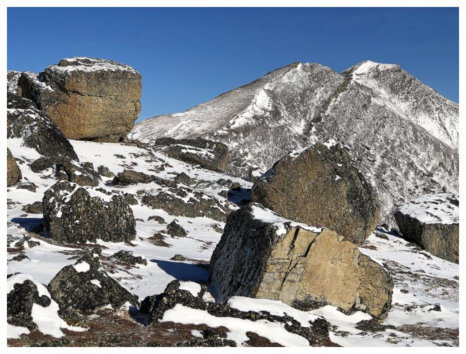
Big blocks and Collembola
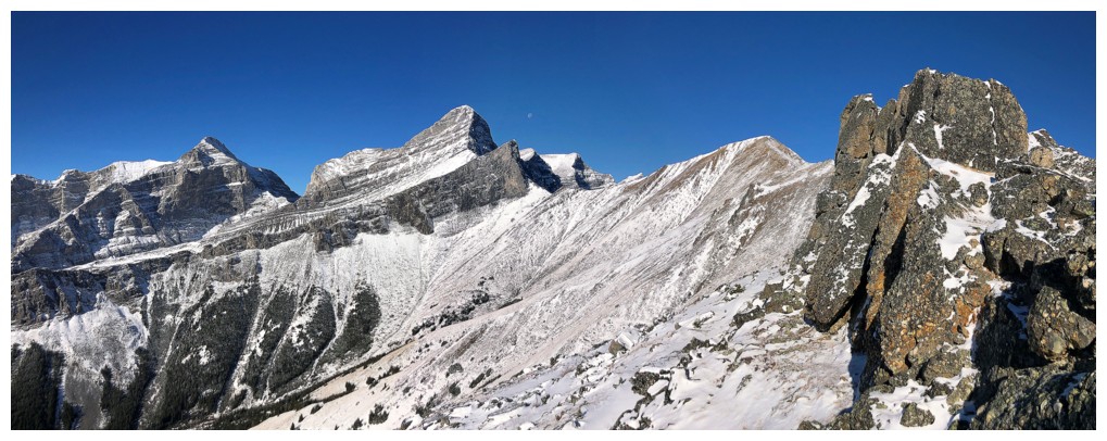
Still fascinated with Wind Mountain
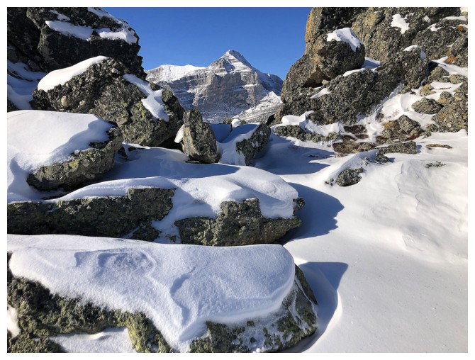
And Sparrowhawk
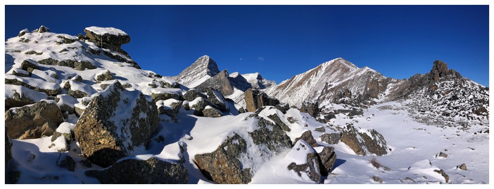
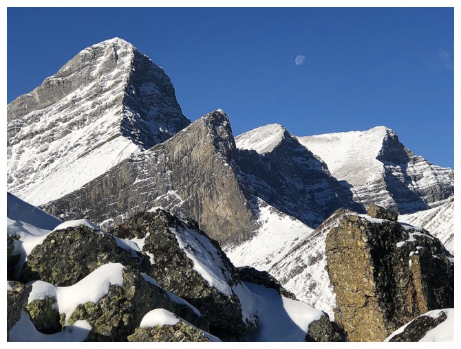
Wind (left) and the 3rd and 2nd peaks of Mount Lougheed (the 2nd is the true summit)
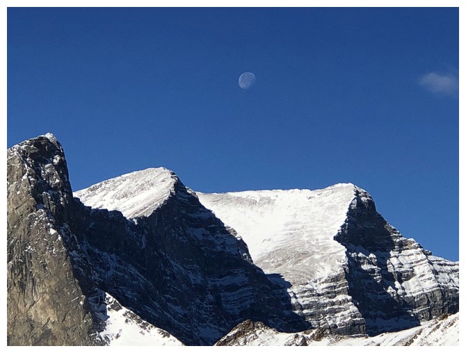
The Moon is still clearly visible
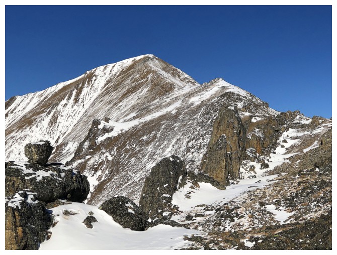
As close to the summit of Mount Allan as I got
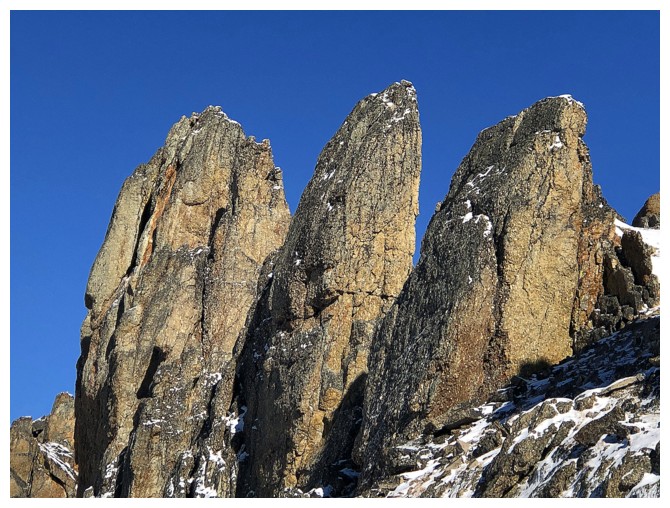
Exploring the south side of the ridge grants you a different view of all the striking pinnacles on the ridge

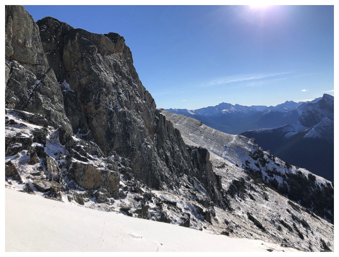
Returning below the ridge on the south side
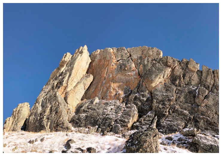
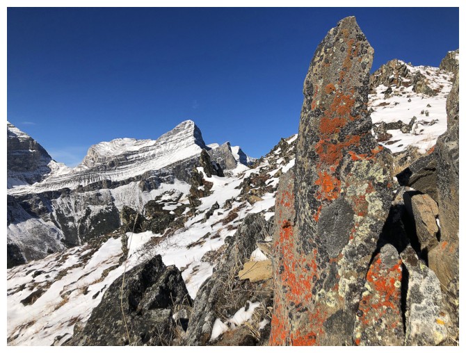
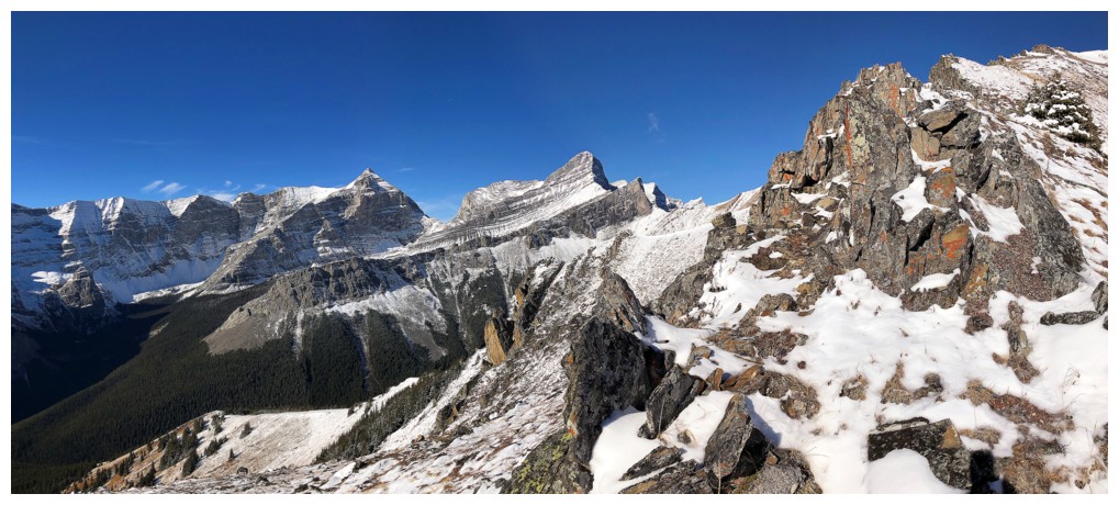
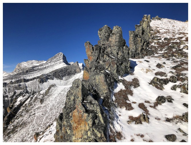
Round 2 of The Rock Band exploration
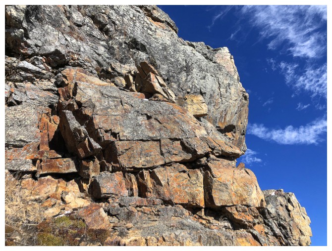
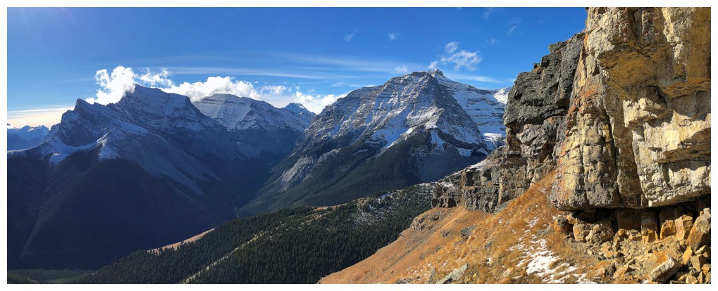
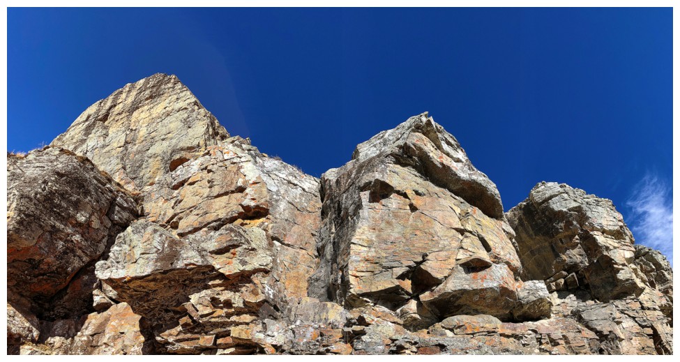
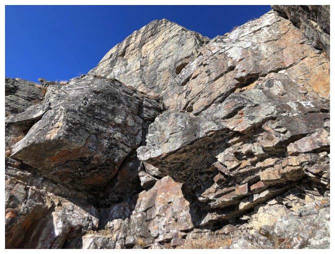
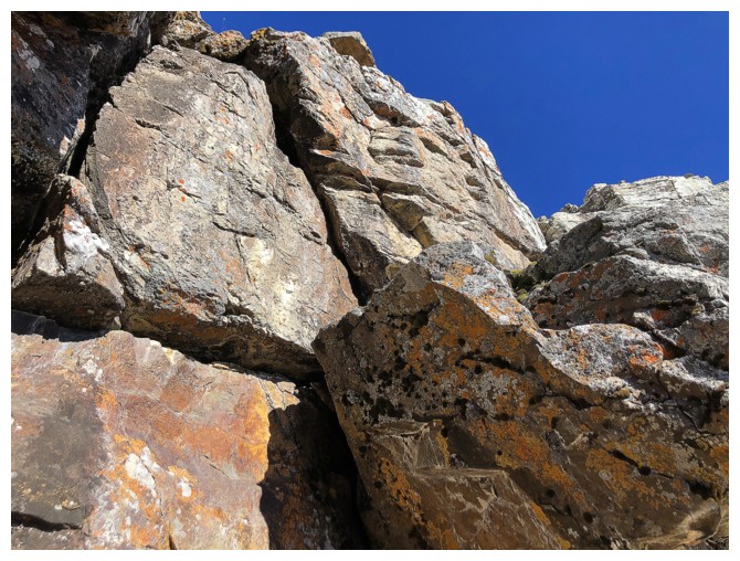
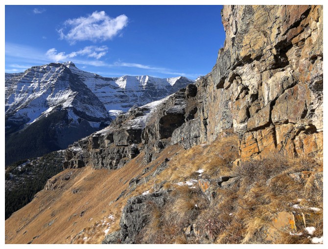
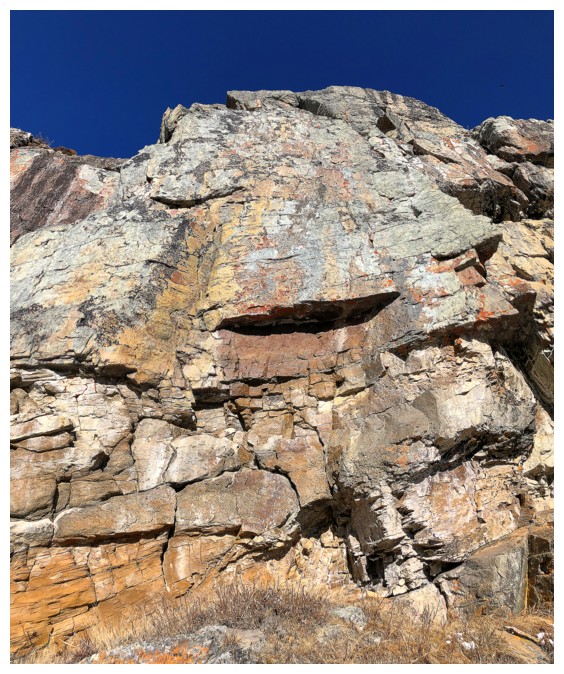
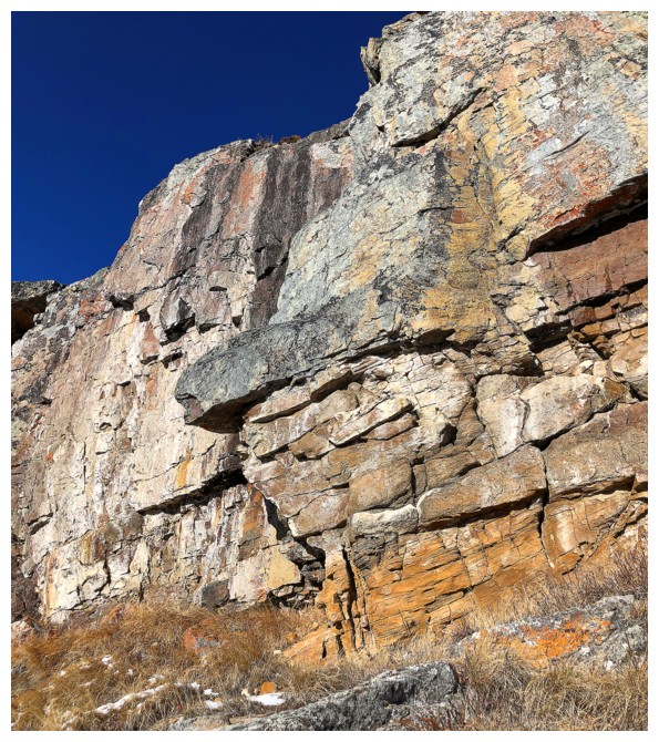
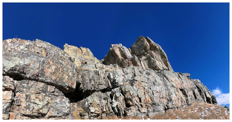
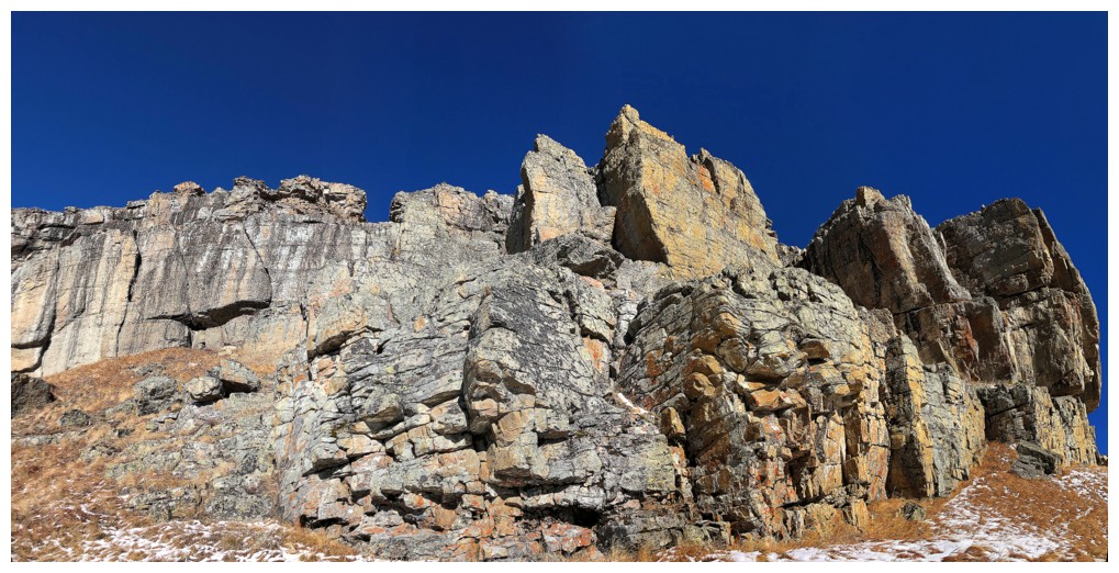
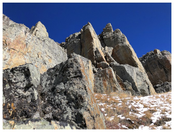
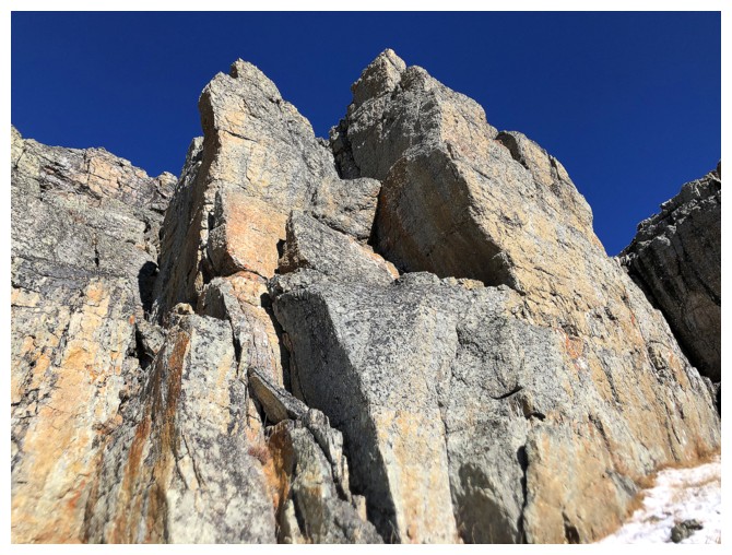
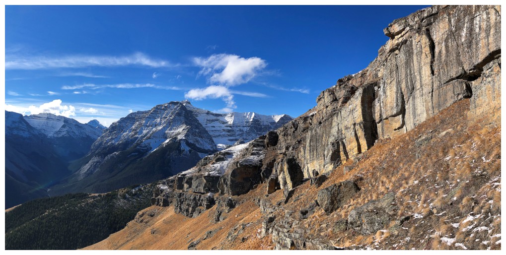
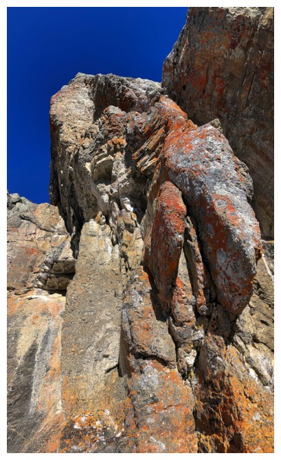

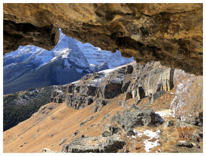
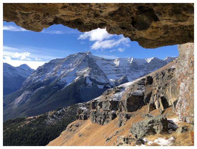
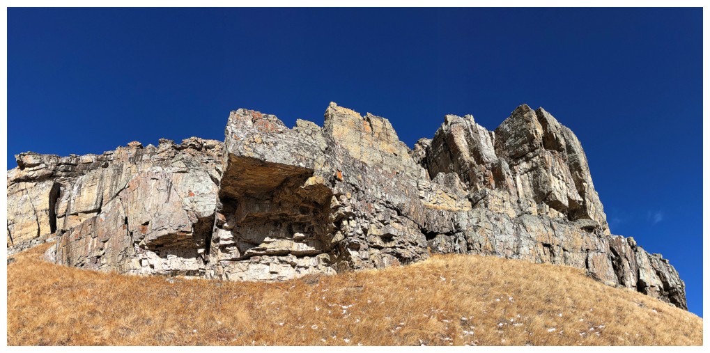
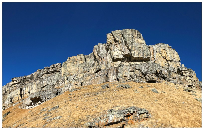

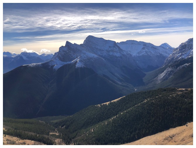
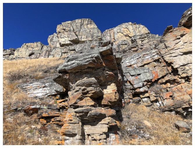
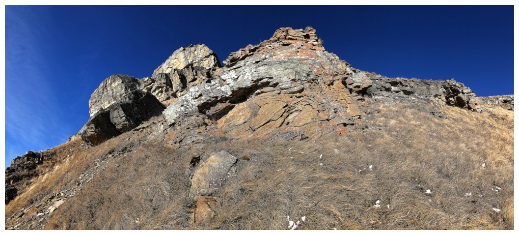
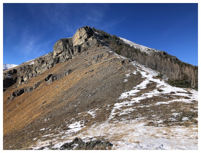
Parting look at The Rock Band
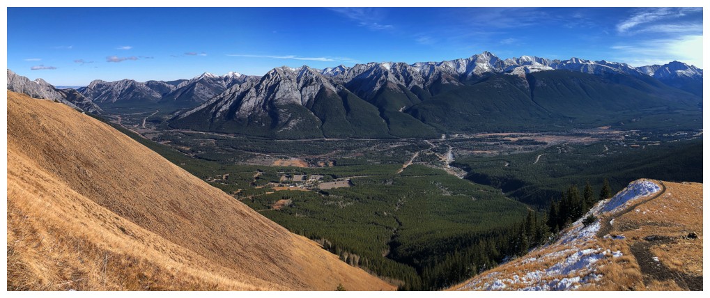
View to the east
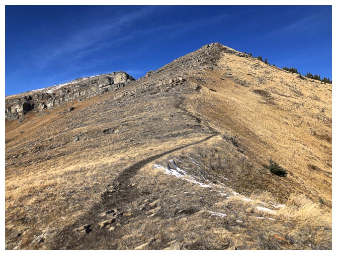
The snow has melted
The End
LOG