Picklewood Peak attempt
July 3, 2025
Mountain height: 2645 m (I made to 2594 m)
Elevation gain: 900 m
Ascent time: 4:10
Descent time: 2:10
Solo scramble.
The objective
for this day was South Highwood Peak, as described in David Jones' outstanding guidebook,
Rockies South. Why the South Peak of Highwood and not the true summit, a
mountain I’ve failed on twice?
Answer: I had tickets to the Calgary Stampeders
first-ever “Stampede Bowl” and didn’t want to miss a second of the game
- a shorter trip was needed and South Highwood Peak seemed achievable.
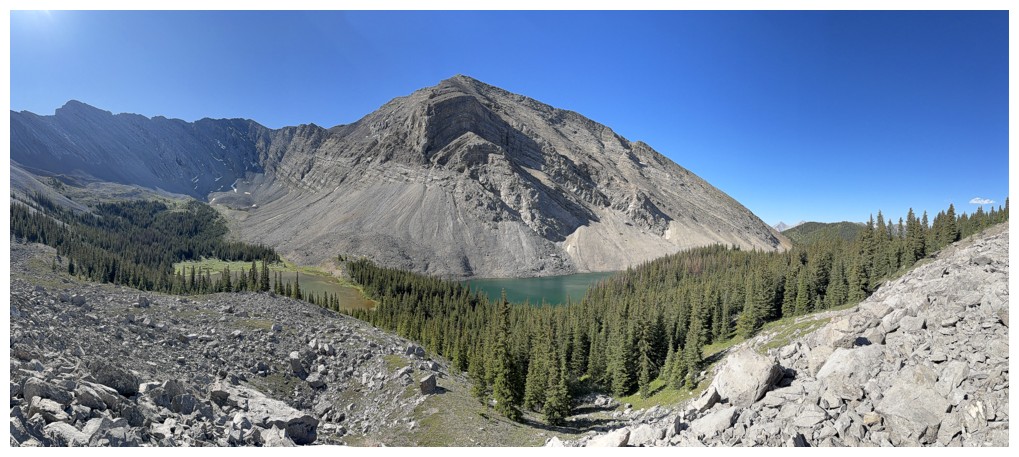
After the easy
hike to the Picklejar Lakes and a scenic jaunt around three of the four bodies
of water, I started up the steep scree/rubble slopes between the third and
fourth lakes. Sticking to the side of an outcrop of good rock made easier work
of this potentially laborious section. Upon reaching the ridge I initially
started losing a bit an elevation towards the ascent slopes for South Highwood
Peak. However, another mountain, identified as Picklewood Peak on the Gaia map,
suddenly caught my eye. The summit of Picklewood was about the same distance as
South Highwood’s but slightly less elevation gain would be required. 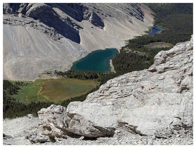 The other
lure here was continued views of the beautiful lakes. I suspected the south
ridge of South Highwood would block them from sight. And so I turned around and started
up Picklewood’s west ridge.
The other
lure here was continued views of the beautiful lakes. I suspected the south
ridge of South Highwood would block them from sight. And so I turned around and started
up Picklewood’s west ridge.
Initially,
travel up the ridge was engaging and fun, on rock of decent quality. I could
see potential problems higher up but would cross that bridge when I arrived
there. That arrival came quite quickly. The ridge became increasingly more
challenging, with immense exposure on the right. I had to get to easier slopes on
the left, a process that ate up a fair amount of time and the loss of significant
elevation.
Nevertheless, I
was eventually able to resume the ascent, naively thinking the summit was “in
the bag” at this point. Not so. A highpoint was reached about 500 horizontal
metres and 50 vertical metres from the summit. The view here was fantastic in
almost all directions and just plainly scary in one direction. Unfortunately,
that was the direction I needed to go to achieve the summit. 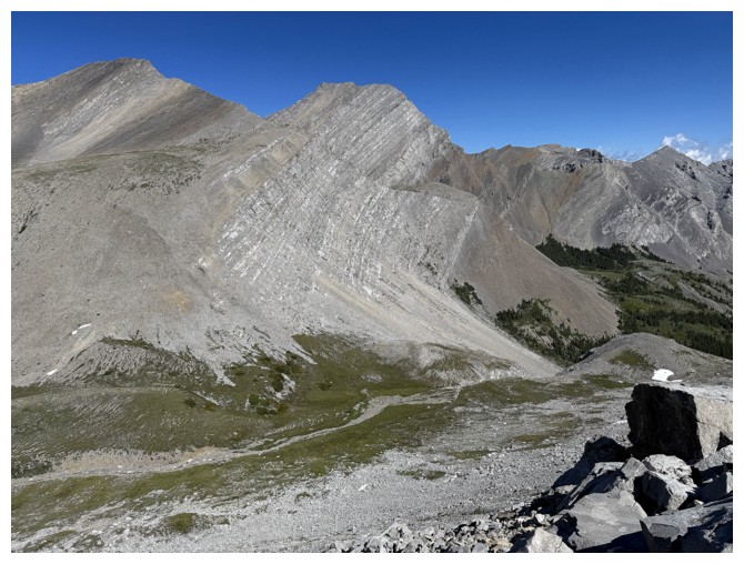 The final 500 m
did not appear user-friendly on any level, with a massive vertical drop on the
left side and steep, sketchy terrain on the right. I made a feeble attempt,
lasting no more than 20 metres and then returned to the highpoint. Even with
more time to make a real effort, all manner of nastiness appeared to separate
me from the summit, and I don’t think a scramble route would have been
possible.
The final 500 m
did not appear user-friendly on any level, with a massive vertical drop on the
left side and steep, sketchy terrain on the right. I made a feeble attempt,
lasting no more than 20 metres and then returned to the highpoint. Even with
more time to make a real effort, all manner of nastiness appeared to separate
me from the summit, and I don’t think a scramble route would have been
possible.
I thought a
long false summit break would ensue but suddenly realized that the football
game could be a 6 pm start. The time was 11:50 am, I stood at a point at least
2.5 hours of travel from my vehicle, with another 2 hours of driving to get
back to Calgary – no long break for me – I like to get to football games long
before they start!
The descent
went surprisingly fast, as I found a slightly shorter route down to the lakes. After
that, a brisk hiking pace got me back to the parking lot in less than the
predicted 2.5 hours.
Overall, a very
enjoyable day with fantastic scenery and interesting scrambling. Picklewood is
a no-go, but I’ll have to return for South Highwood Peak someday.
Epilogue 1: upon
returning home, I found out that in 2007 Alan Schierman had achieved the summit
of Picklewood from the other side of the mountain, via Junction Creek. He did
go to the south col first, so it may be possible to gain that col from the
Picklejar Lakes and then follow the south ridge to the top. Schierman’s route
is significantly longer and requires a ford of the Sheep River. I’ll put the
route via the Picklejar Lakes on my “when I can think of nothing else” list.
Epilogue 2: the
football actually started at 7 pm, so I had plenty of time. The Stamps stunned
the Blue Bombers with a 37-16 win. Not only that but the first
“Stampede Bowl” was a raging success, the Calgary Stampede Showband lighting it up and Brett Michaels
tearing it up at halftime with a high-energy performance of all the Poison favourites.
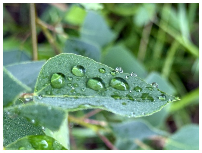
Water droplets on leaves are always photographic favourites after a night of rain
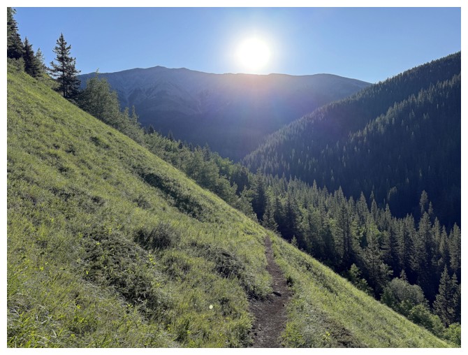
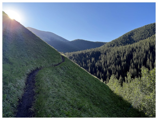
The Sun rises over Lineham Ridge
More water on leaves
Something else
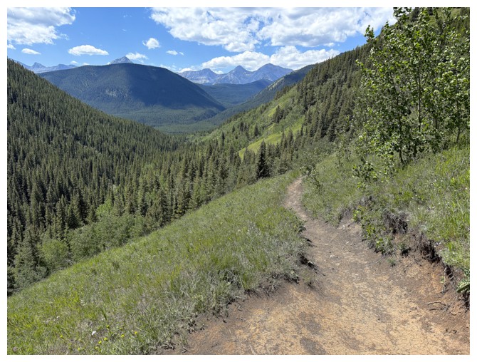
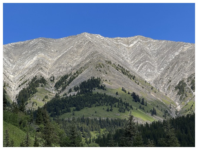
The cool Picklejar Lakes Trail wraps around the side of "Picklejar Hill"
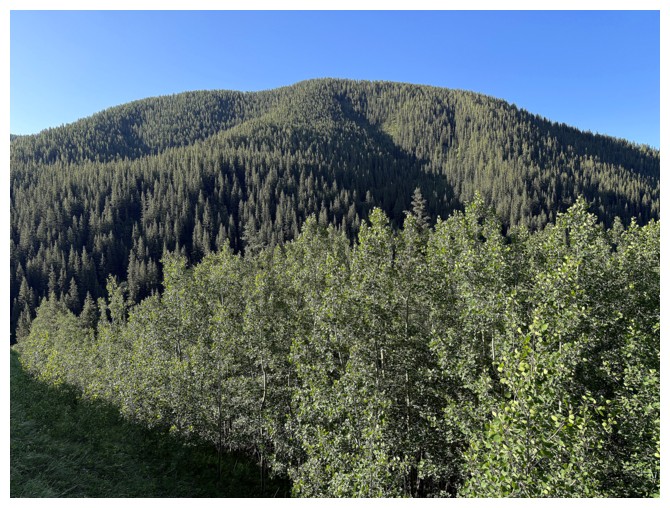
Heavily treed Picklejar Hill has very limited appeal for an ascent
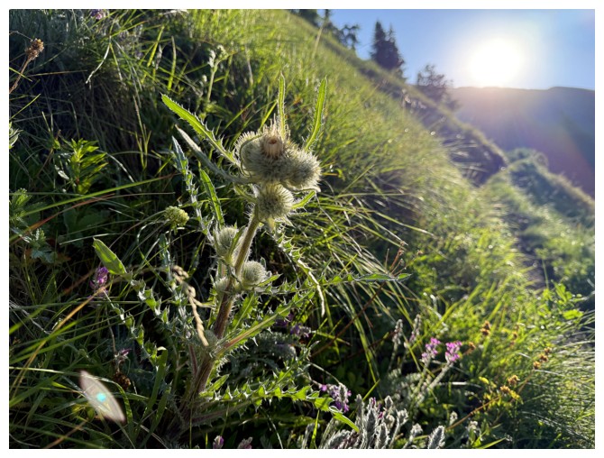
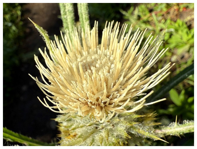
Even the thistles look good here
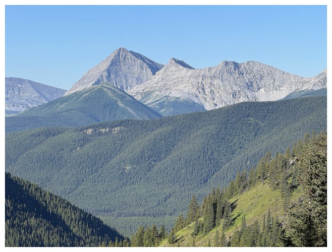
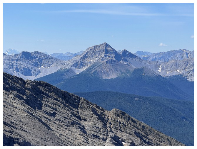
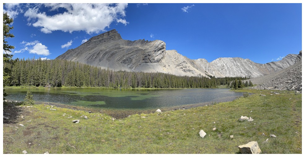
Mount McPhail left of centre
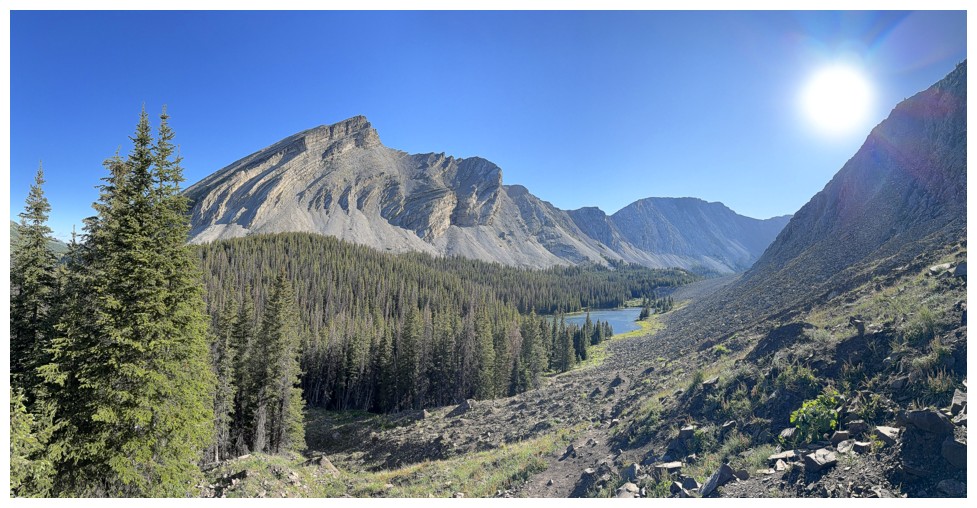
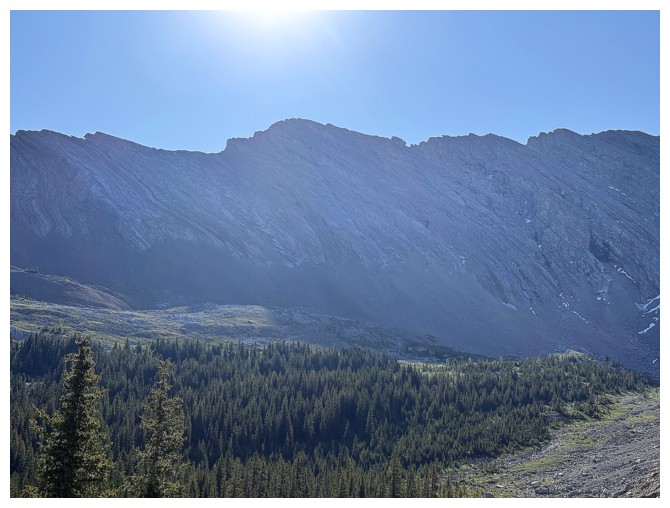
First view of the initial objective - South Highwood Peak
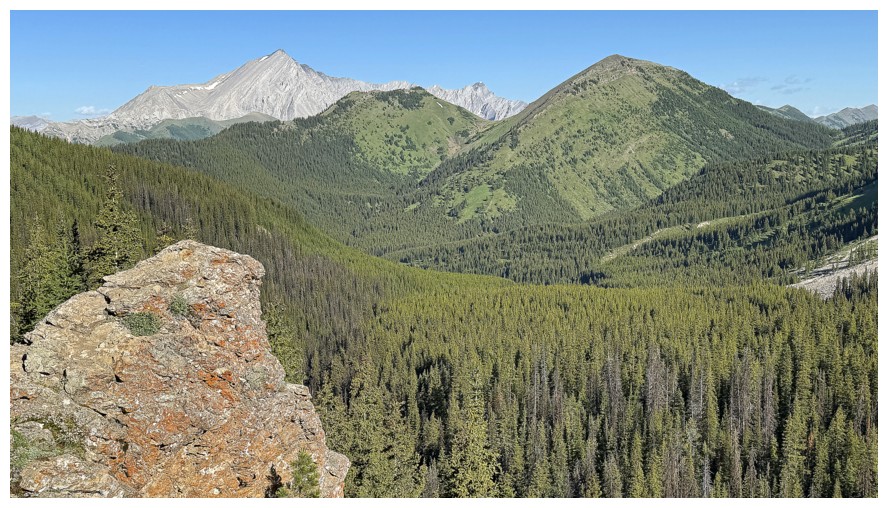
Mist Mountain at the left. Had a great day on that one two days earlier.
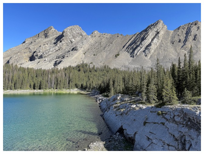
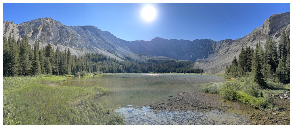
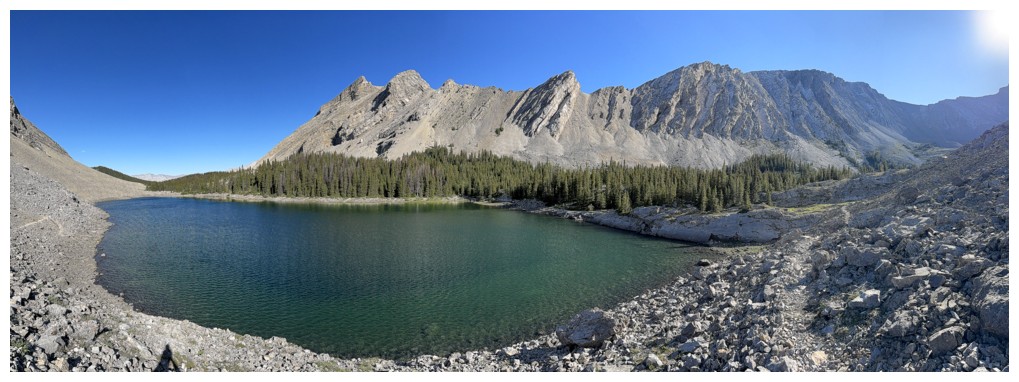
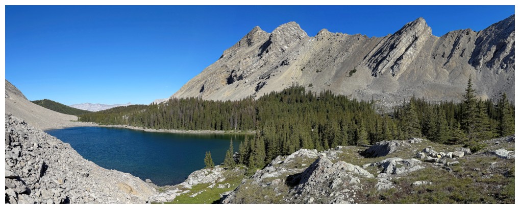
The first Picklejar Lake
Looking back on the first and Picklejar Hill
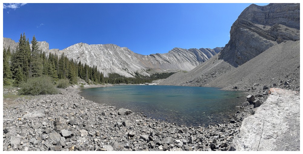
Approaching the third lake
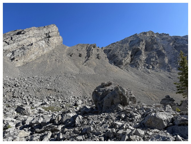
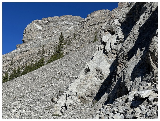
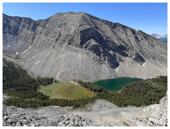
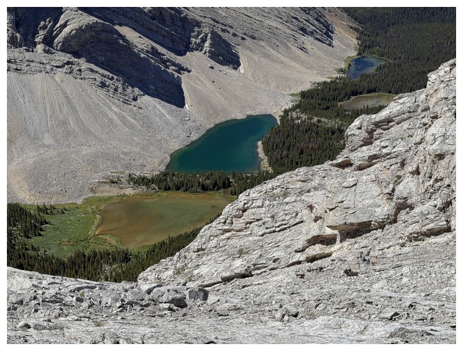
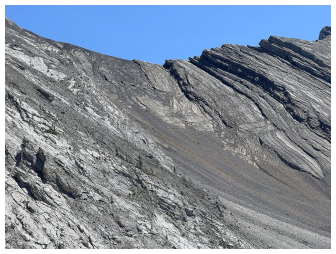
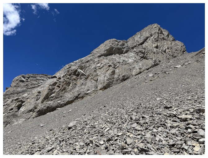
Near the west end of the third. I took the scree/rubble slope on the
left side of the major rock outcrop at the right on ascent and down the
right side on return.
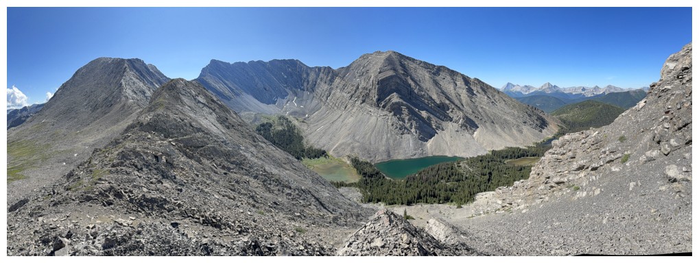
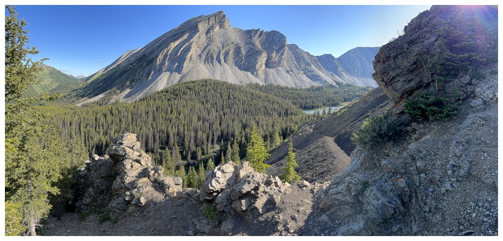
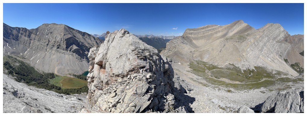
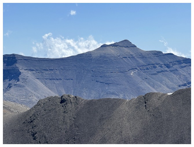
Same as above. Picklewood Peak near the right.
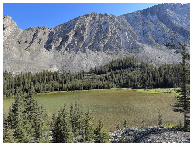
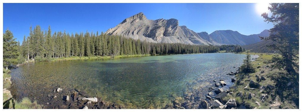
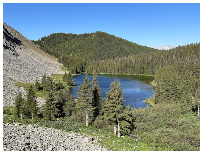
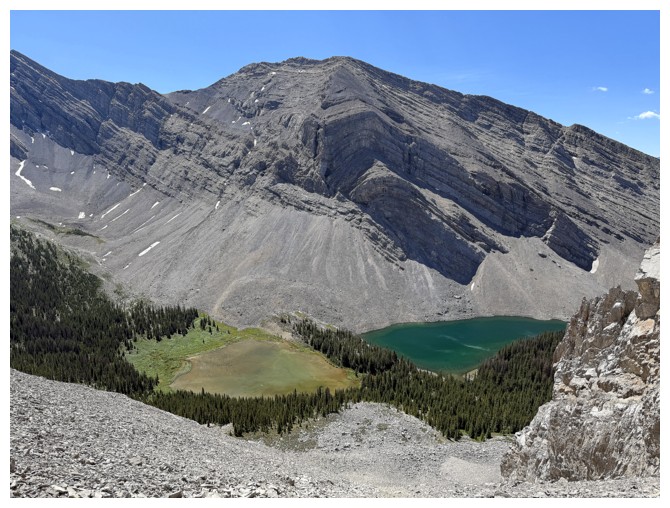
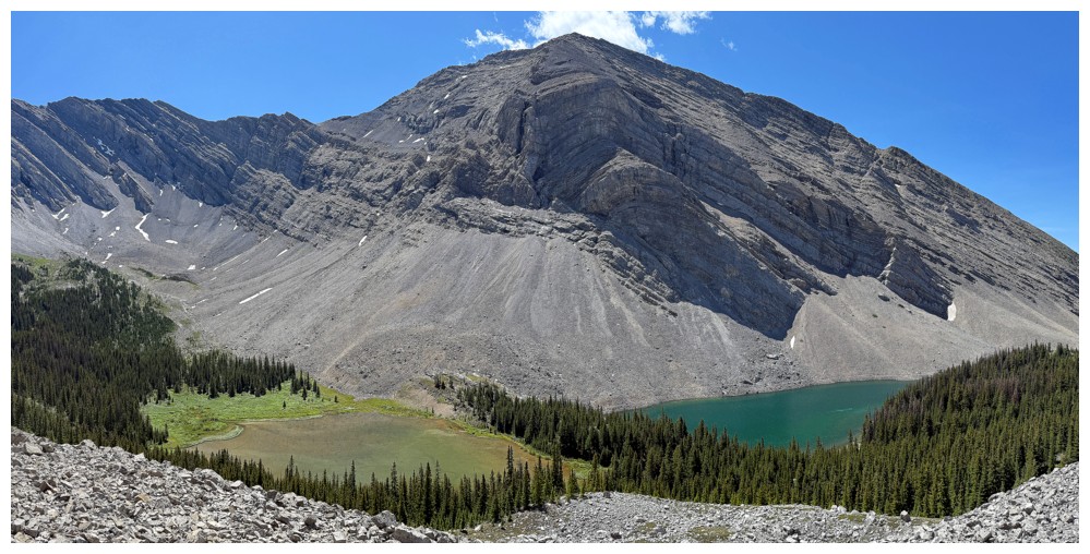
Overlooking the fourth lake
Back to the third
Both lakes and the Sun
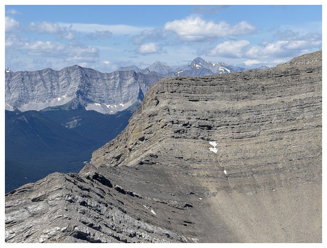
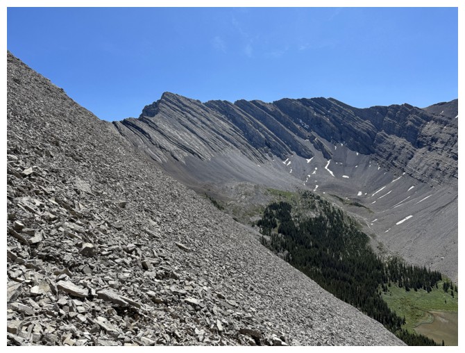
An impressive feature of Lineham Ridge's north face
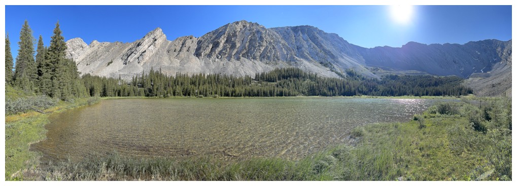
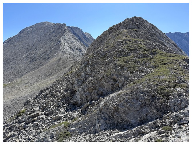
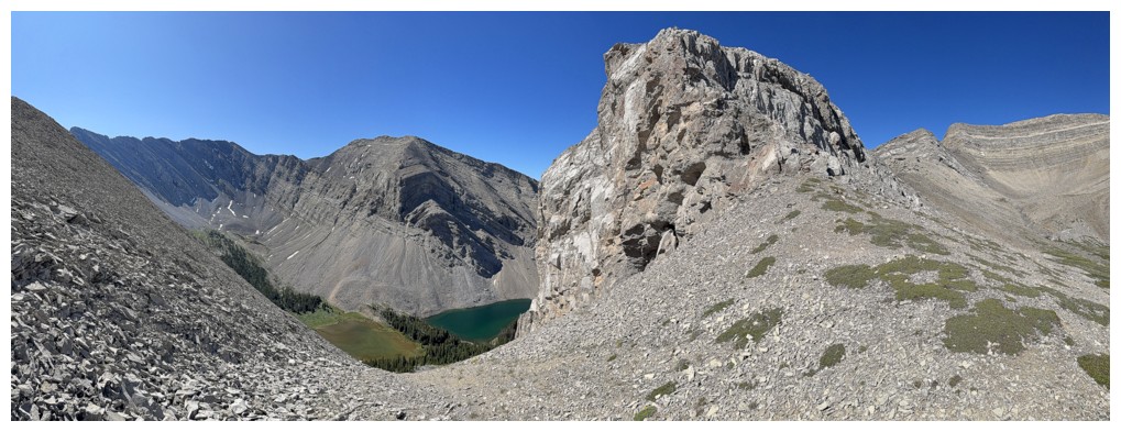
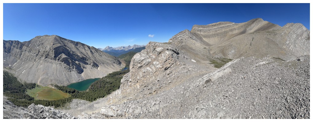
The ridge between Picklejar Peak (GR593982) and Picklewood Peak
At the shores of lake 4
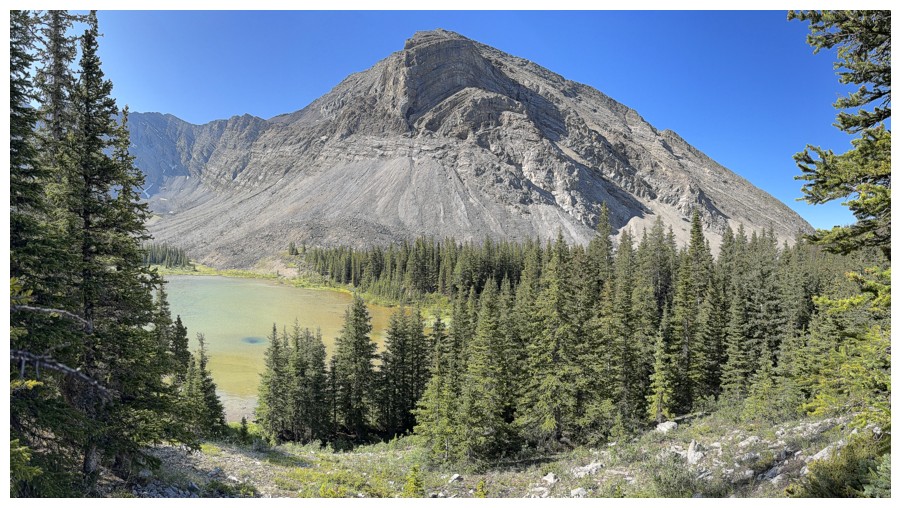
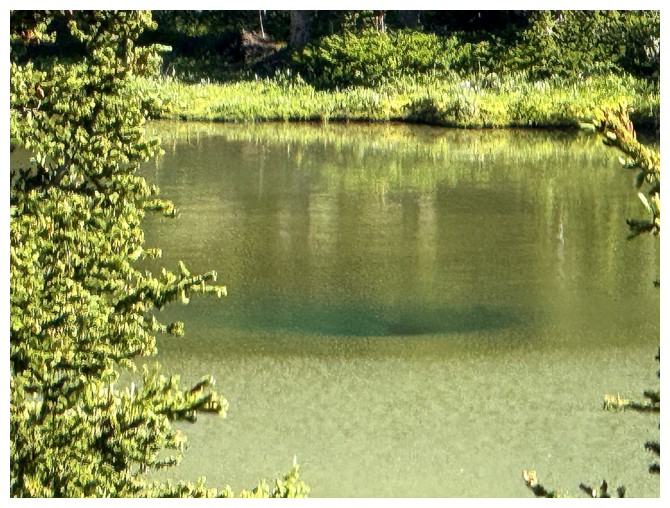
Heading up slopes on the other side of lake 4. Note the unusual green spot on the lake.
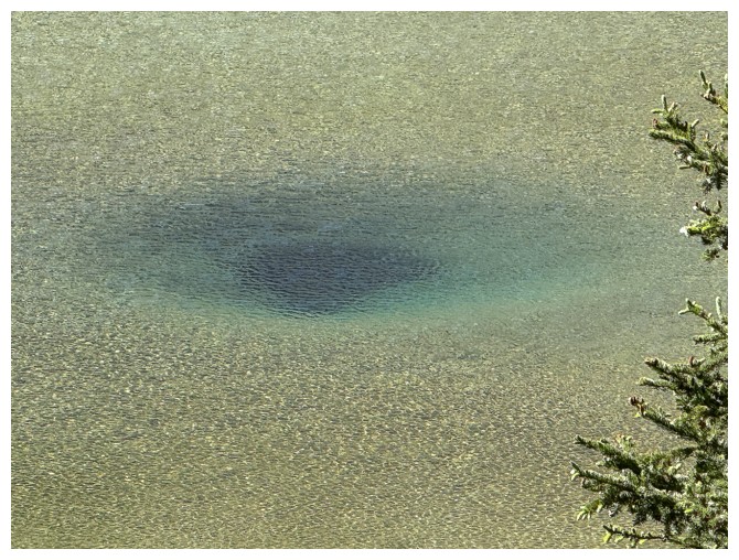
Close-up of the green spot
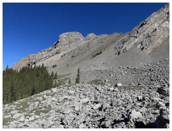
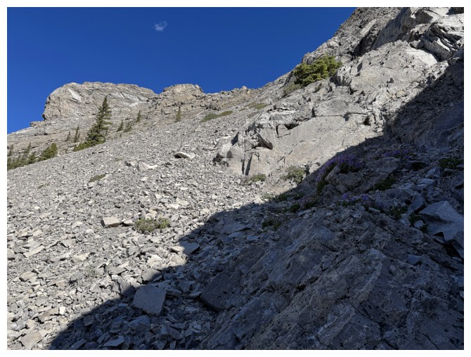
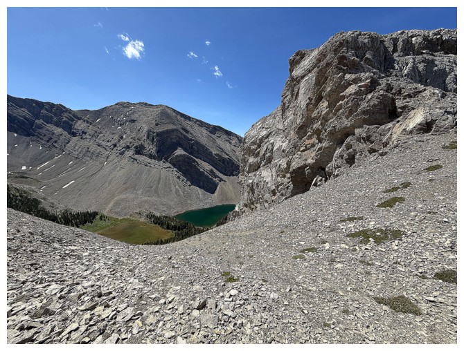
Looking up my descent route, although I didn't know at the time I would come down this way
Traversing left towards the ascent slopes
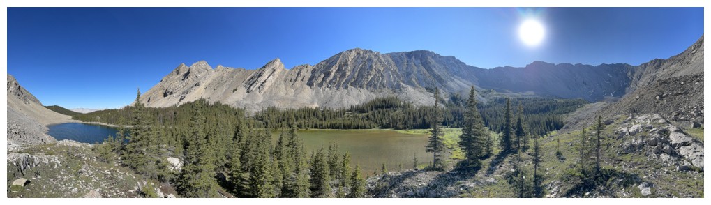
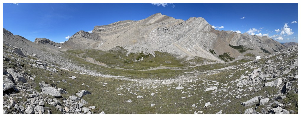
Views of Lineham and the lakes are going to take centre stage for a while
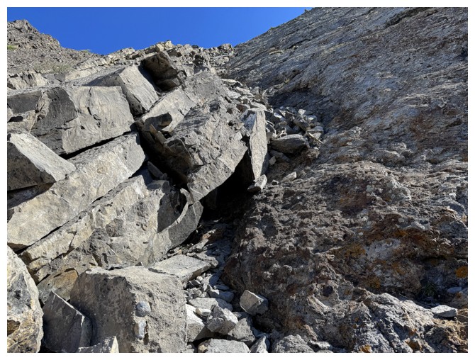
The rock outcrop I will descend alongside, several hours later
Still going left to find an ascent line
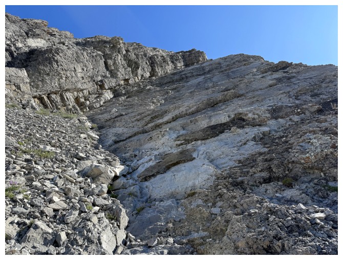
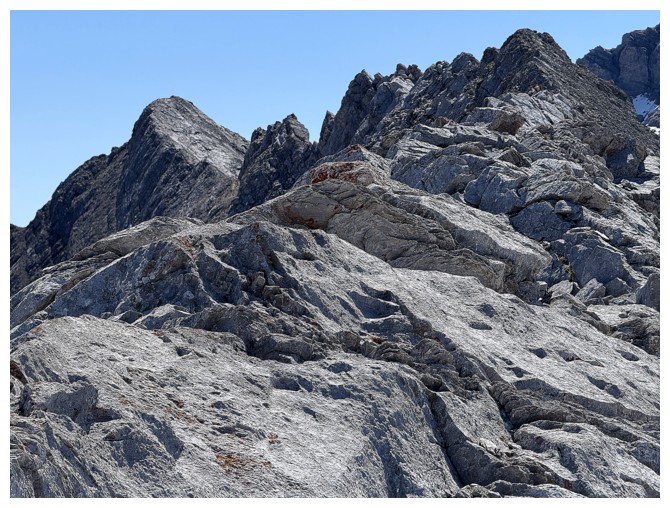
Heading up. Staying near the solid rock on the right made travel a little easier.
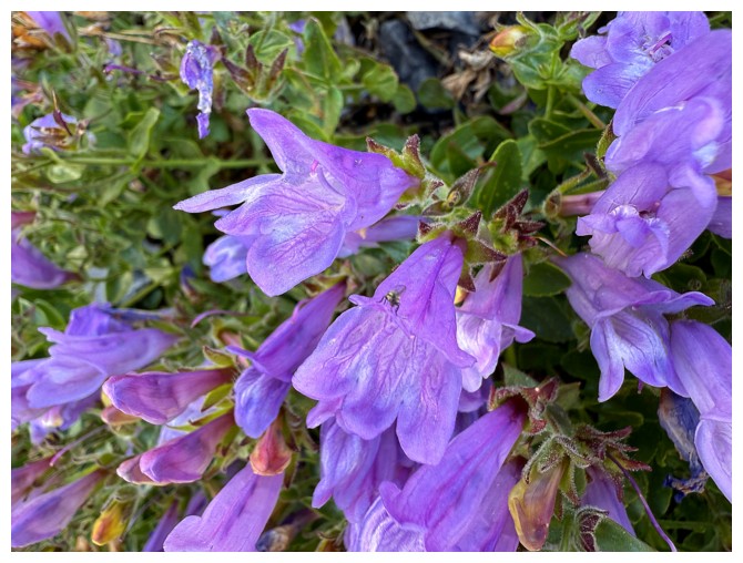
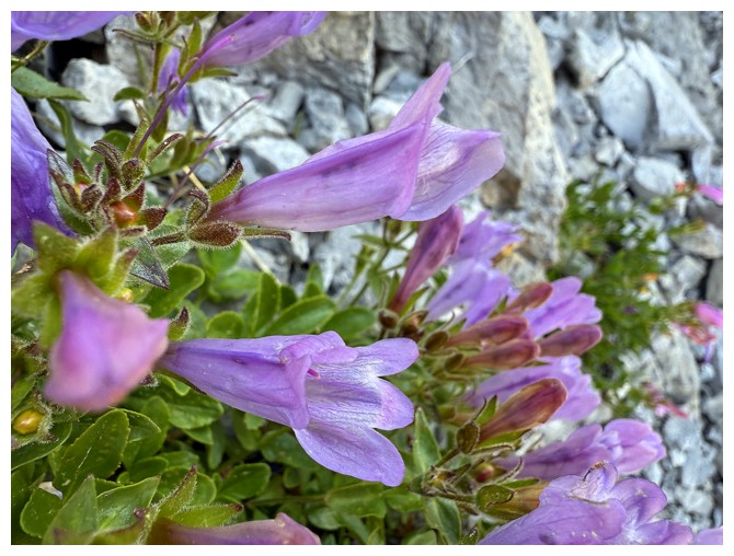
Bug on a flower
Just the flower
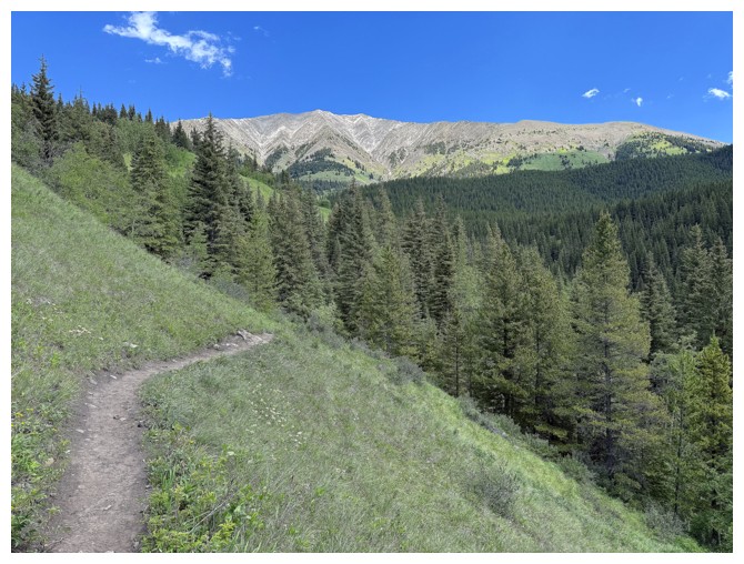
Tempting to go up this way but the terrain up high looked daunting
Went up this way instead
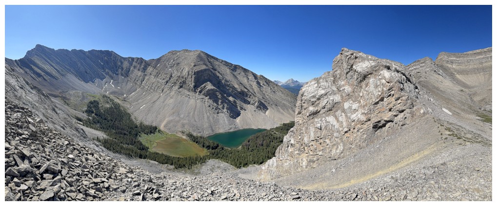
At the col. The view on the north side.
The view on the south side
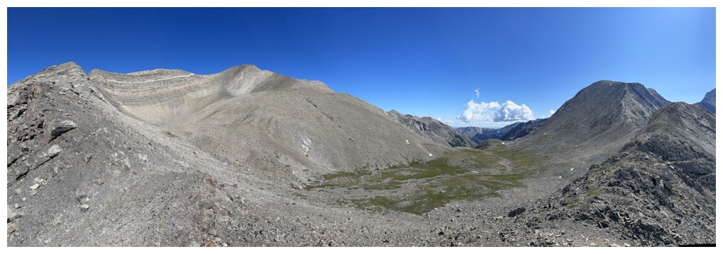
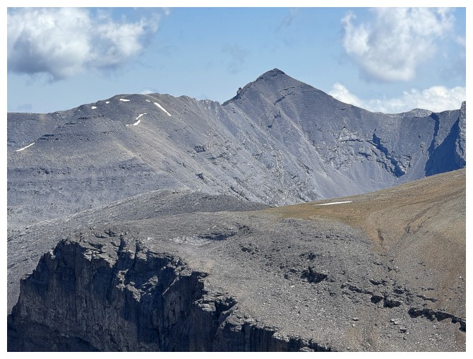
Better view of the north side. South Highwood just left of centre and Picklewood at the right.
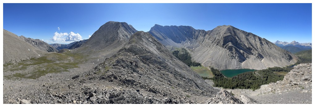
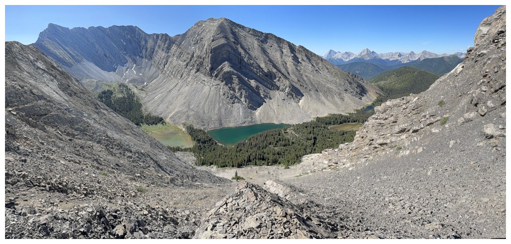
Picklewood, Picklejar Peak and lakes, and Lineham
Picklewood looks to be straightforward from this vantage point
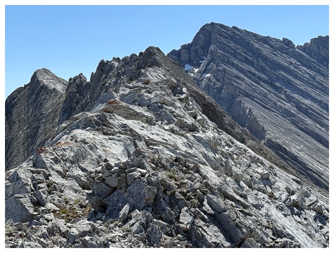
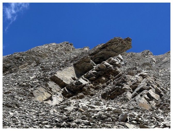
Going around the first obstacle on the ridge
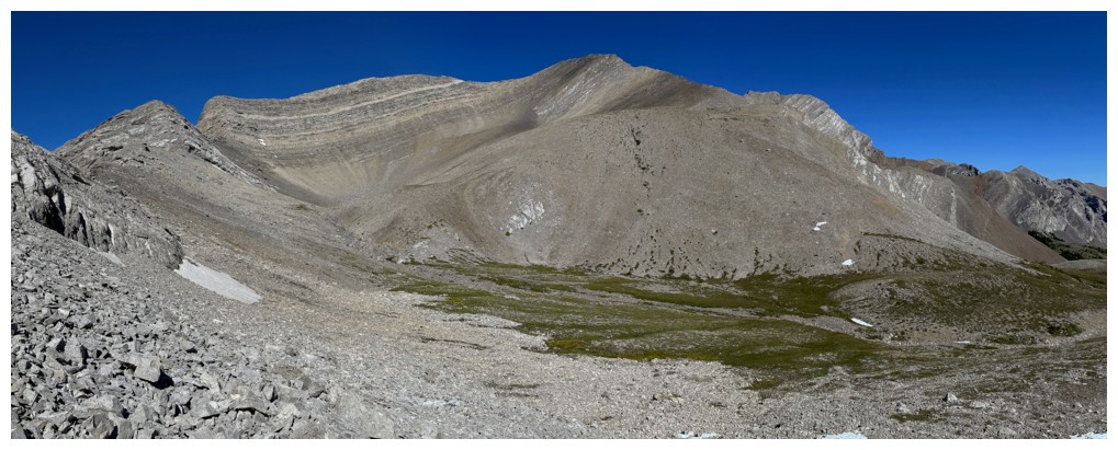
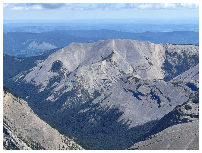
South Highwood Peak, with Highwood Peak just peeking over the shoulder near the right
Looking back at the obstacle
Same as above
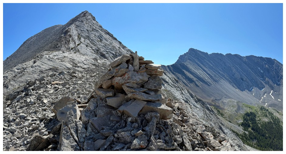
A big cairn indicates many have traveled at least to this point
Still enamoured with the lakes
And the rest of the view in that direction
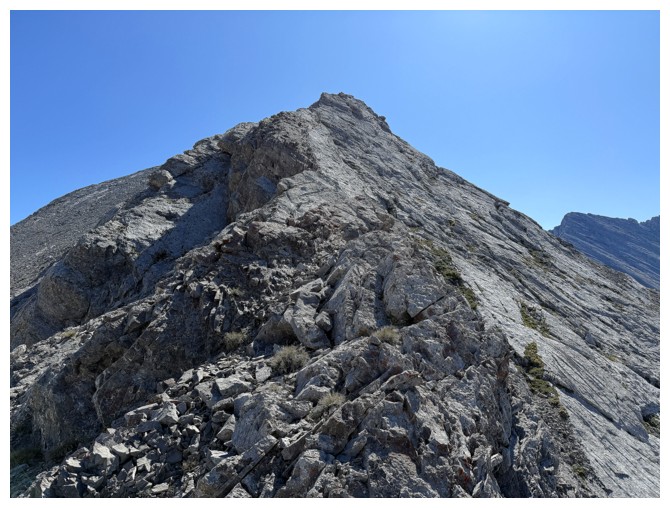
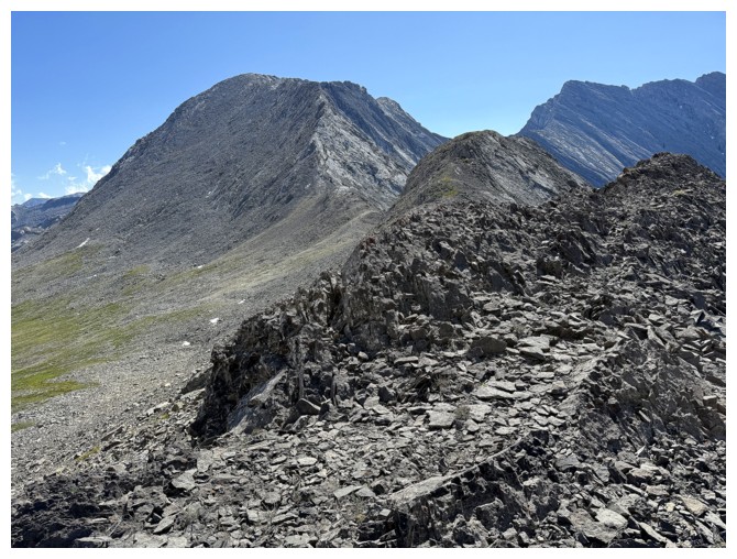
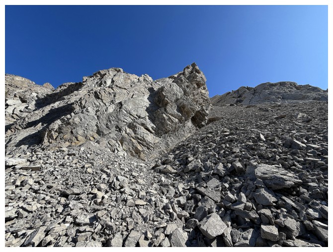
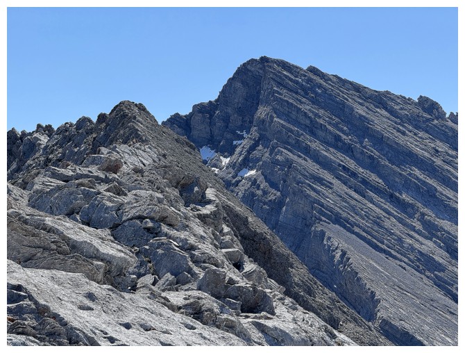
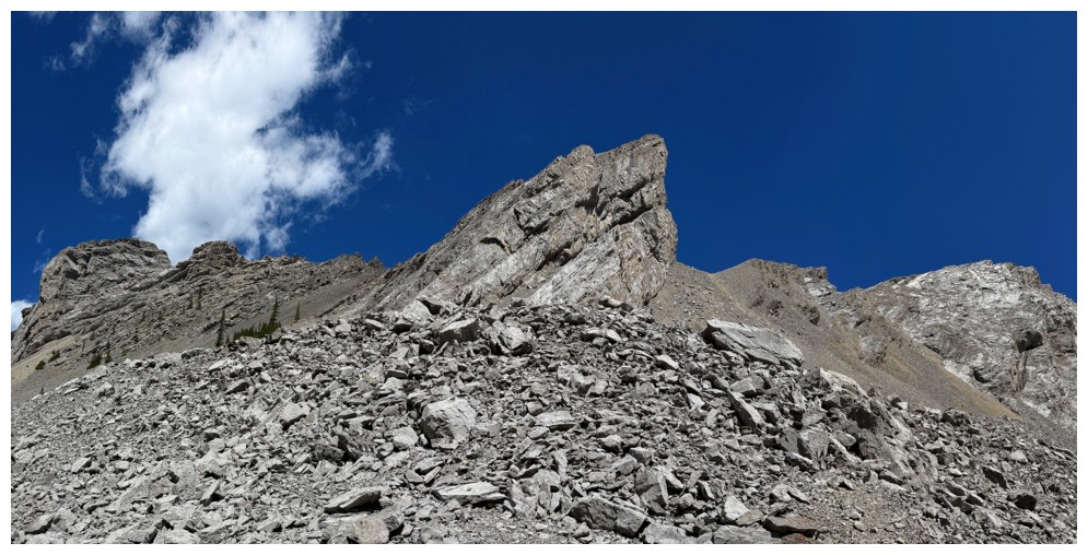
Fun scrambling for now, but it gets more serious higher up
More of Highwood Peak appears
Another obstacle on the ridge and the end of the line as far as staying on the ridge
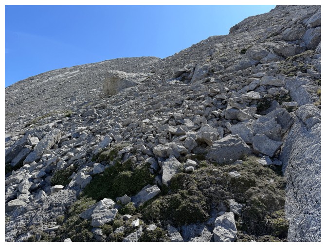
Down to easier terrain on the north side of the mountain
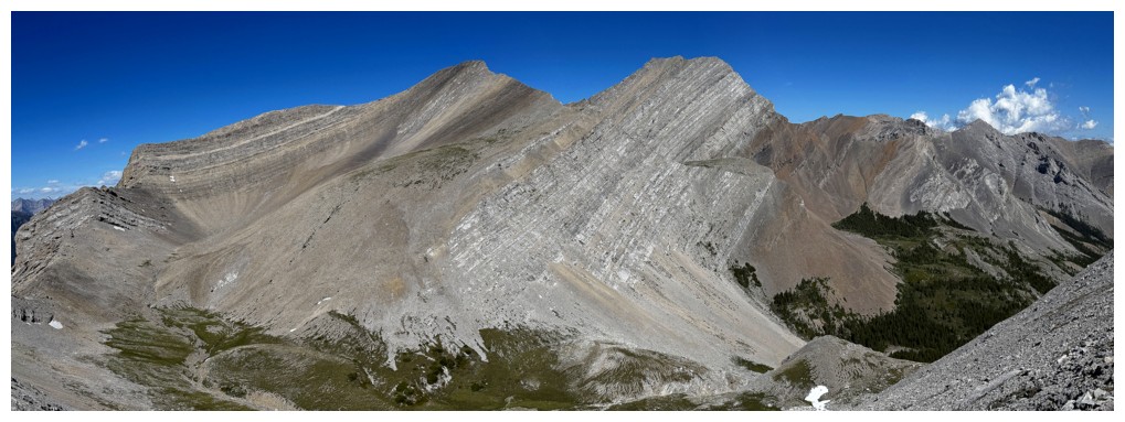
South Highwood and Highwood and their respective ascent routes are now almost completely visible
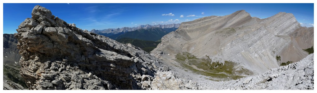
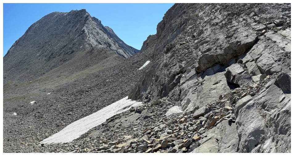
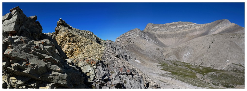
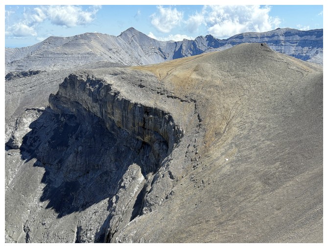
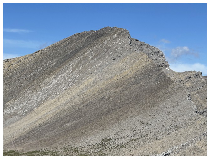
One of the last obstacles (at the left) I had to get around before reaching what I thought was the summit
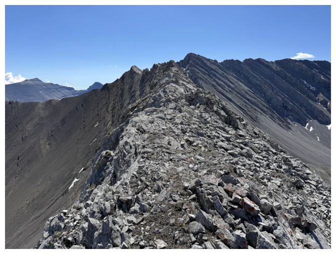
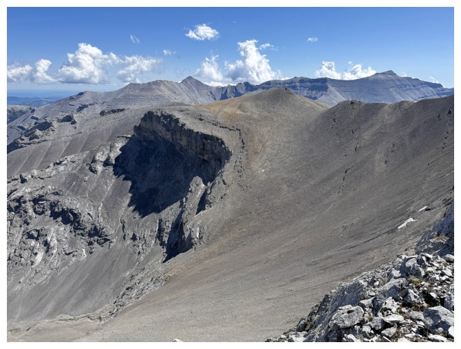
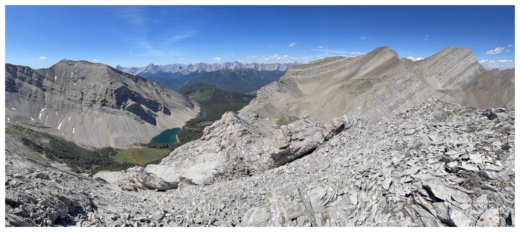
At the western highpoint of the ridge. The summit is about 500 m away.
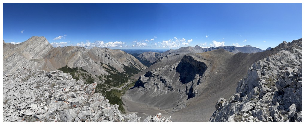
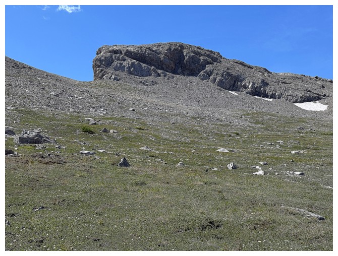
Small but very cool outlier of Picklewood, northeast of its summit
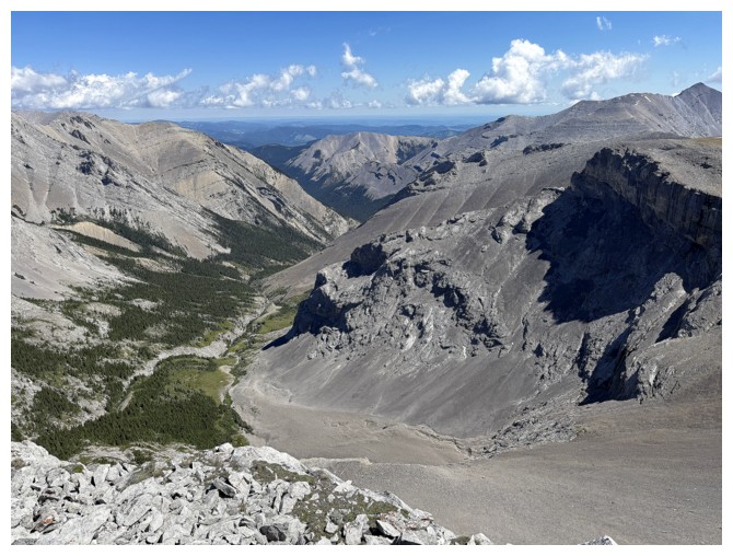
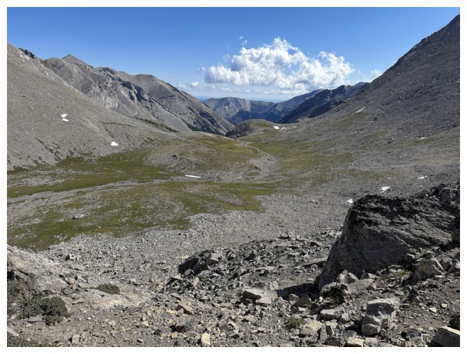
The valley to the north leads to Junction Creek
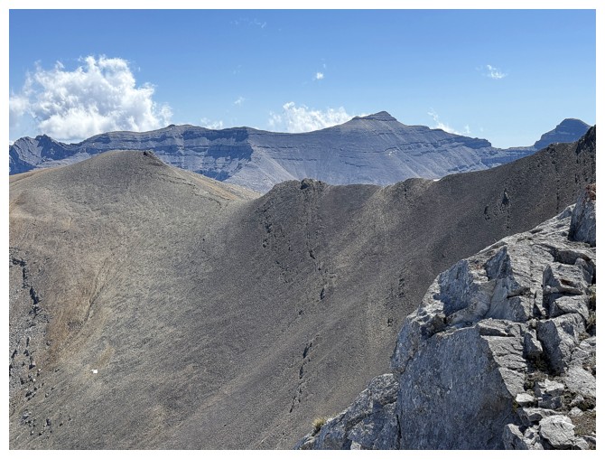
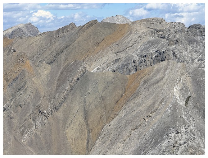
Closer look at the ridge to the summit at the far left.
Highpoint panos:
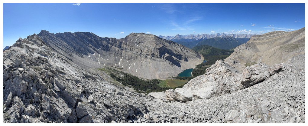
After scrambling the ridge for 20 metres I turned around. The terrain
ahead gets quite exposed and the jagged ridge looks to be beyond
scrambling further along.
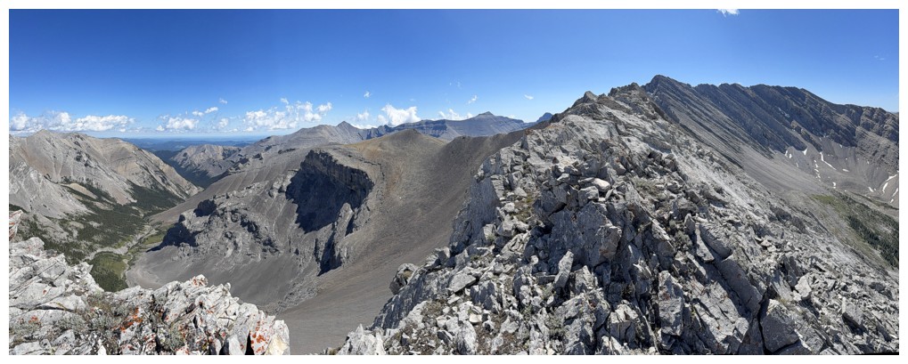
The north end of Picklejar Peak. Scrambling from Picklejar to Picklewood also seems to be beyond the realm of scrambling.
The cool cliffs of that outlier
Pyriform Mountain - seems like a lifetime ago, but it was only 9 years
Close-up of Pyriform
Junction Mountain - my first ascent of that one WAS a lifetime ago!
Interesting ridges to the north
Part of Junction Mountain's long north ridge
Mount Bishop
The east side of Mount Joffre, just right of centre
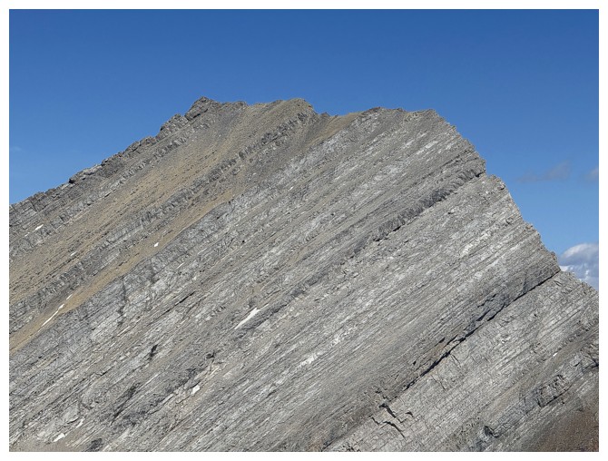
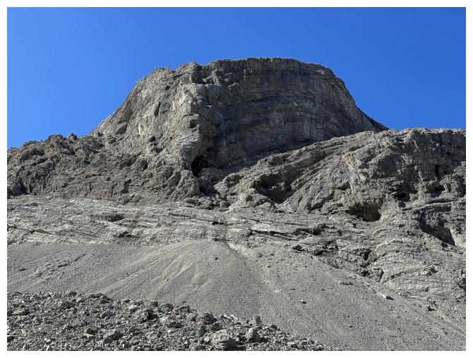
Close-up of Highwood Peak's summit
Close-up of South Highwood Peak's summit
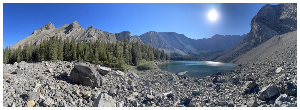
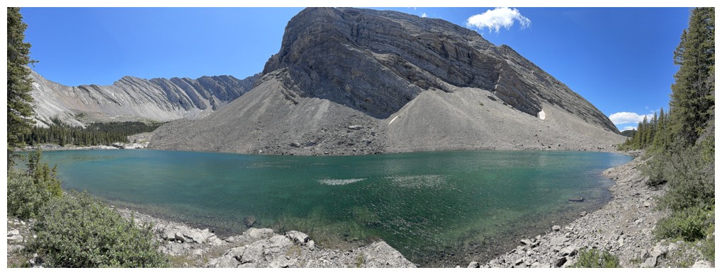
All four of the Picklejar Lakes
Back down in the valley below Picklewood
Hiking to the alternate descent route, left of the outcrop
At the col
Looking down the route
Glancing over to Picklejar
The col between Picklejar and Picklewood looks like a potential route
The outcrop
Approaching the lakes
Up and the left side, down on the right
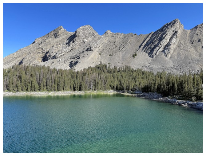
Back at the third lake
Last look at the third lake and Picklewood
The first lake and South Highwood again
All downhill from here
Parting view of Lineham Ridge. It doesn't look like much, but has some of the best hands-on scrambling in the area.
Close-up
The End
LOG